The best mountain hikes around Gardone Riviera
4.5
(60)
408
hikers
22
hikes
Mountaineering routes around Gardone Riviera are characterized by the dramatic landscape surrounding Lake Garda, offering diverse terrain for exploration. The region features a mix of steep inclines, rocky sections, and dense woodlands, with prominent peaks like Monte Pizzocolo and Monte Castello. These mountains provide challenging ascents and offer extensive panoramic views of Lake Garda and the Valtènesi region. The varied topography ensures a range of experiences for mountaineers.
Best mountaineering routes around Gardone Riviera
- The most popular mountaineering route is…
Last updated: August 28, 2026
4.8
(16)
94
hikers
11.4km
06:04
1,020m
1,020m
Hard mountaineering route. Very good fitness required. Sure-footedness, sturdy shoes and alpine experience required.
3.8
(5)
85
hikers
Hard mountaineering route. Good fitness required. Sure-footedness, sturdy shoes and alpine experience required.

Sign up for free
5.0
(2)
22
hikers
15.9km
07:30
1,210m
1,210m
Hard mountaineering route. Very good fitness required. Sure-footedness, sturdy shoes and alpine experience required.
7
hikers
Hard mountaineering route. Good fitness required. Sure-footedness, sturdy shoes and alpine experience required.
3.0
(1)
7
hikers
Hard mountaineering route. Very good fitness required. Sure-footedness, sturdy shoes and alpine experience required.
Get access to more routes and recommendations from other explorers.
Sign up for free
Already have an account?
Our route recommendations are based on thousands of hikes, rides, and runs completed by other people on komoot.
Start today with a free account
Your next adventure awaits.
Login or Signup
Tips from the Community

Cresta Est is a via ferrata, only for the experienced.
0
0

and it is very hard to climb, but when you reach the top all the effort is worth it.
0
0

360° views from the top of Pizzocolo
0
0

To the right, the trail leads to the "SENTIERO ALPINISTICO TRE AMICI," which, according to bergsteigen.com, is supposed to be more difficult. But I wasn't wearing a helmet, it had rained the night before, and there are supposed to be steep grassy slopes, and I could still feel the effects of the three Campari Spritzers from the night before. So I continued straight ahead. From here, it's basically just steep walking terrain.
0
0

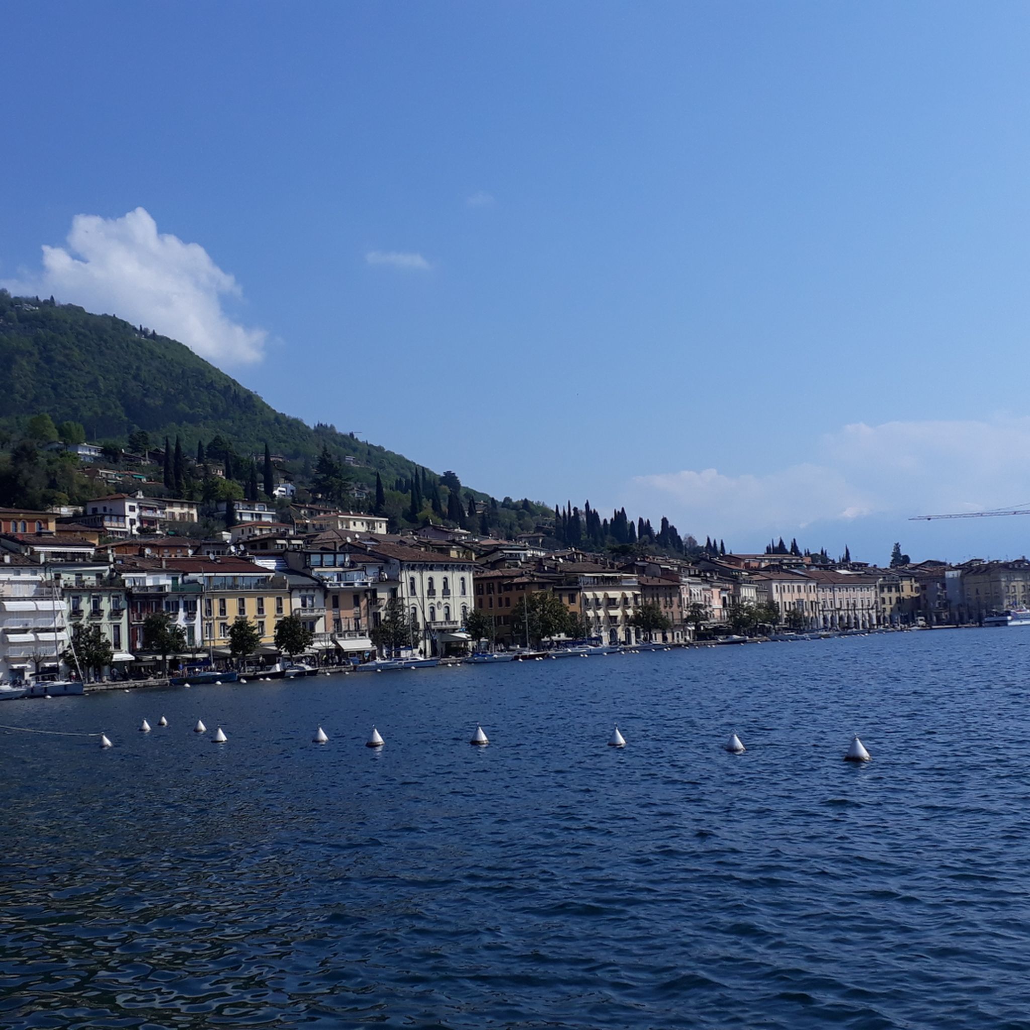
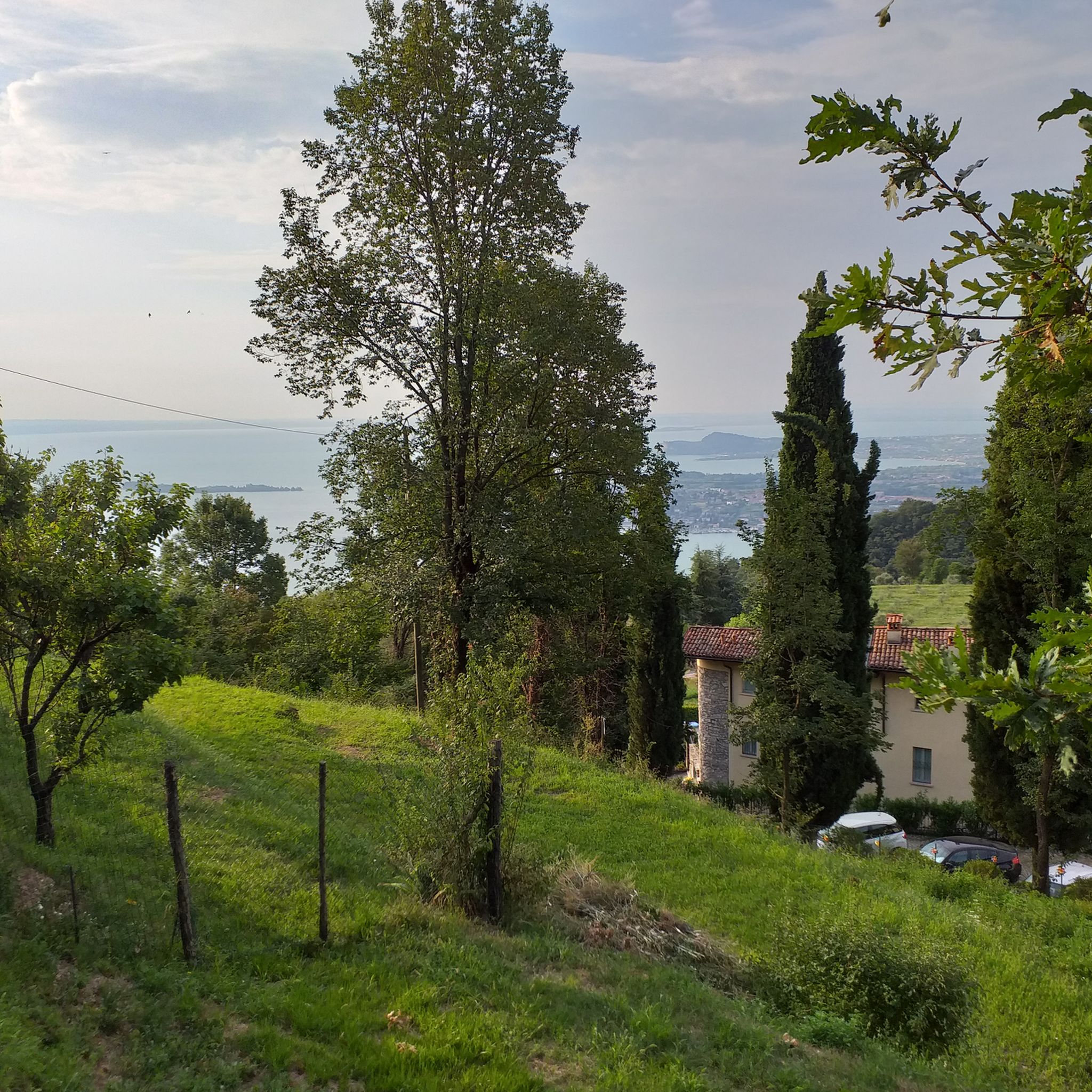
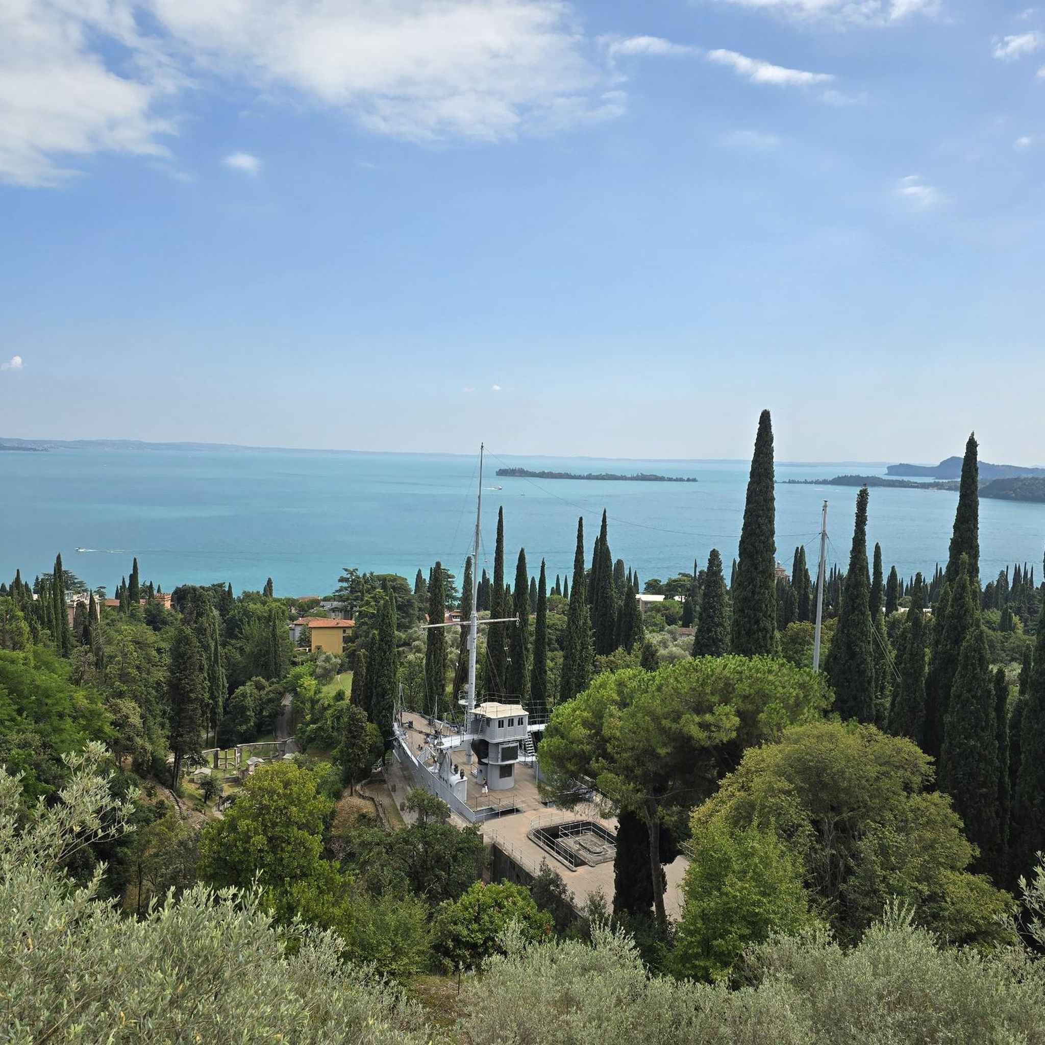
Not far from the path that leads to Monte Castello di Gaino, this panoramic point offers a spectacular view of Lake Garda. From here, you can admire the blue waters of the lake that extend to the horizon, surrounded by the rolling hills and mountains that outline its profile.
0
0

Monte Pizzocolo offers an incredibly beautiful view
0
0

This rocky hill towers directly above the southern part of Lake Garda and is one of the best viewpoints in the entire area. The tour is short and therefore not very strenuous, but requires a minimum of sure-footedness in the last third.
25
0
At almost 1,600 m, Monte Pizzocolo is the highest elevation at the south-western end of Lake Garda and the panorama from the summit is accordingly magnificent. On a clear day, the view extends far into the Po Valley and to the north, the glacial mountains Adamello and Presanella shine.
21
1
Frequently Asked Questions
How many mountaineering routes are available around Gardone Riviera?
There are over 20 mountaineering routes around Gardone Riviera. These routes range from moderate to difficult, with the majority (16) being challenging, offering diverse terrain for exploration.
What kind of terrain can I expect on mountaineering routes in Gardone Riviera?
Mountaineering routes in Gardone Riviera feature a mix of steep inclines, rocky sections, and dense woodlands. You'll encounter diverse terrain as trails ascend directly from the shores of Lake Garda, leading through ancient forests and olive groves into higher elevations. Prominent peaks like Monte Pizzocolo and Monte Castello offer challenging ascents.
Are there any circular mountaineering routes in the area?
Yes, many mountaineering routes in Gardone Riviera are circular. For example, the Monte Pizzocolo Summit loop from Municipio di Toscolano Maderno is a difficult 11.3 km loop that takes about 6 hours to complete. Another option is the Monte Castello Summit loop from Municipio di Toscolano Maderno, a 7.5 km loop often completed in about 3 hours.
What are the best routes for experienced mountaineers seeking a challenge?
Experienced mountaineers will find several challenging routes. The Monte Pizzocolo Summit loop from Toscolano Maderno is a difficult 15.9 km path with significant elevation gain (over 1200m) and rocky terrain, typically taking around 7.5 hours. The South-East Ridge of Monte Pizzocolo also offers a strenuous climb.
What are the best times of year for mountaineering in Gardone Riviera?
The region benefits from a mild climate, making mountaineering enjoyable for much of the year. Spring and autumn generally offer the most pleasant temperatures and stable weather conditions. While winter mountaineering is possible, conditions can vary, especially at higher altitudes, so checking local forecasts is essential.
Are there any routes suitable for beginners in mountaineering?
While the majority of routes are rated difficult, there are some moderate options available. The trail network offers options for various ability levels, but many routes require good fitness, sure-footedness, and sturdy shoes. For those new to mountaineering, considering guided treks, particularly through the Alto Garda Bresciano Natural Park, can be a good introduction.
What kind of views can I expect on these mountaineering routes?
As you gain altitude, you'll be rewarded with expansive panoramic views of Lake Garda and the majestic Monte Baldo massif. Peaks like Monte Pizzocolo and Monte Spino offer breathtaking vistas over the lake and the Valtènesi region.
Are there any notable natural features or landmarks along the mountaineering routes?
Yes, the routes often pass through the Alto Garda Bresciano Natural Park, offering stunning natural beauty. You'll also find picturesque surroundings with ancient forests, olive groves, and diverse Mediterranean plants. For a different kind of natural exploration, the André Heller Botanical Garden in Gardone Riviera showcases over 3,000 plant varieties.
What do other mountaineers say about the routes in Gardone Riviera?
The mountaineering routes in Gardone Riviera are highly rated by the komoot community, with an average score of 4.5 stars from over 40 reviews. Mountaineers often praise the challenging ascents, the rewarding panoramic views of Lake Garda, and the diverse mountain terrain.
Are there any other outdoor activities or attractions near Gardone Riviera?
Beyond mountaineering, Gardone Riviera offers a variety of outdoor attractions. You can explore the Lakes around Gardone Riviera, including highlights like the View of Lake Garda from La Rocca di Garda or the Salò Promenade and Historic Center. For more adventurous climbs, the "Spigolo della Bandiera" via ferrata near Monte Spino is also available.
Where can I find information about parking for mountaineering trails in Gardone Riviera?
Specific parking information varies by trailhead. For routes like the Monte Pizzocolo Summit loop, starting points such as Municipio di Toscolano Maderno often have designated parking areas nearby. It's advisable to check the individual route details on komoot for the most accurate parking recommendations.
Can I access mountaineering trails using public transport in Gardone Riviera?
Public transport options to trailheads can be limited for some mountain routes. Gardone Riviera itself is well-connected, but reaching specific starting points higher in the mountains might require a combination of bus services and short walks, or a taxi. Planning your journey in advance and checking local bus schedules is recommended.
Most popular routes around Gardone Riviera
Most popular attractions around Gardone Riviera

Get inspired with the komoot mobile app


Explore more
Browse the best Mountain Hikes & Routes in other regions.
