The best walks and hikes around Tavernole Sul Mella
4.4
(504)
3,598
hikers
24
hikes
Hiking around Tavernole Sul Mella reveals a landscape characterized by the upper Trompia Valley, the Mella river, and diverse mountainous terrain. The region features extensive forests, pre-alpine lakes, and the Caregno Plateau, which includes dolines and limestone-dolomitic escarpments. Trails range from accessible paths to challenging mountain ascents, offering varied elevation gains. The area provides a mix of natural features suitable for different hiking preferences.
Best hiking trails around Tavernole Sul Mella
- The most popular hiking route is Monte Pergua Summit…
Last updated: September 28, 2026
5.0
(1)
7
hikers
9.80km
03:47
680m
680m
Moderate hike. Good fitness required. Mostly accessible paths. Sure-footedness required.
4.1
(12)
111
hikers
3.09km
01:22
290m
290m
Easy hike. Great for any fitness level. Easily-accessible paths. Suitable for all skill levels.

4.8
(46)
325
hikers
12.9km
05:44
1,030m
1,030m
Hard hike. Very good fitness required. Mostly accessible paths. Sure-footedness required.
4.5
(6)
51
hikers
13.6km
04:53
790m
790m
Moderate hike. Good fitness required. Mostly accessible paths. Sure-footedness required.
3.7
(9)
64
hikers
5.14km
02:15
470m
470m
Moderate hike. Good fitness required. Easily-accessible paths. Suitable for all skill levels.
Get access to more routes and recommendations from other explorers.
Already have an account?
Our route recommendations are based on thousands of hikes, rides, and runs completed by other people on komoot.
Start today with a free account
Your next adventure awaits.

Tips from the Community

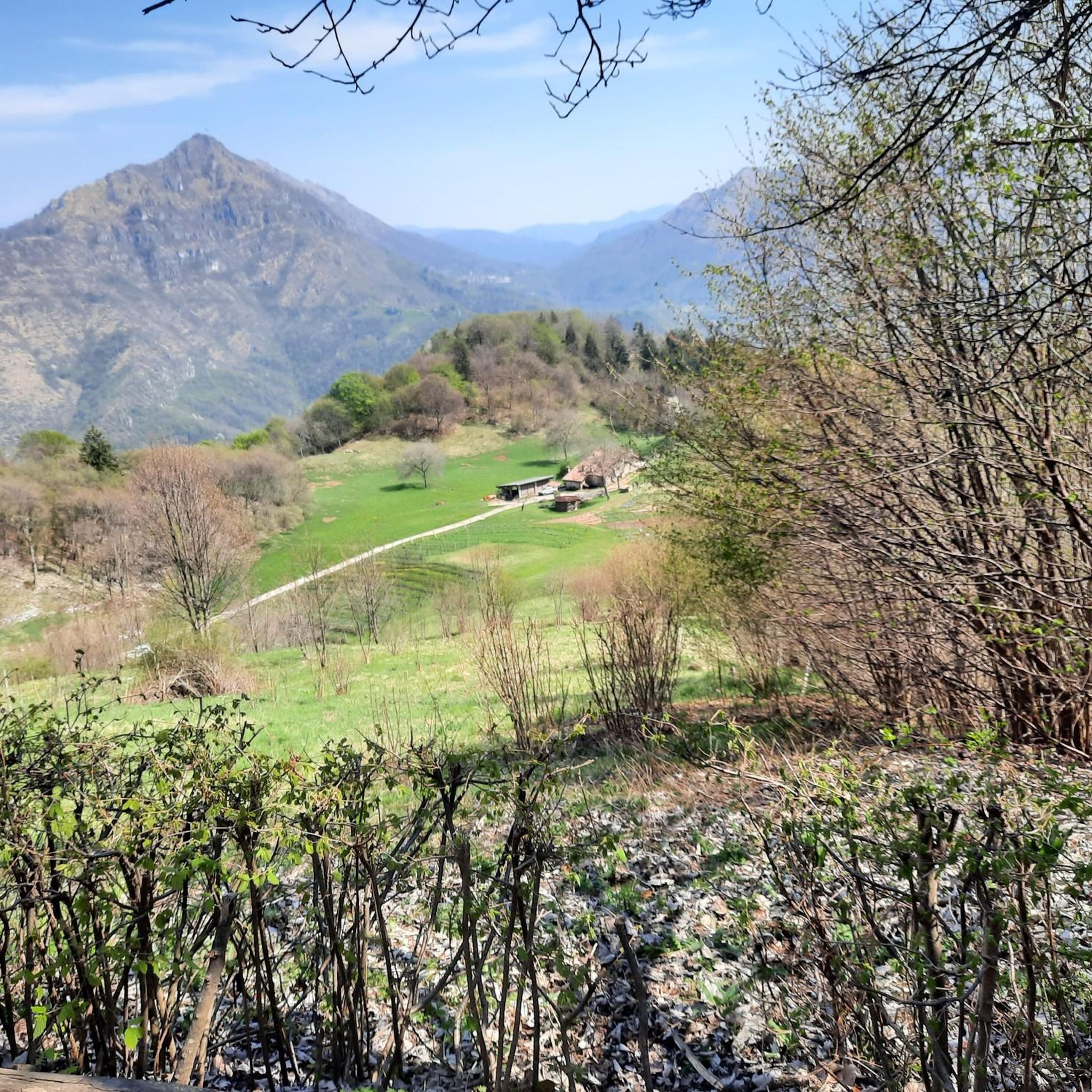
Typical products made by them, local cured meats and cheeses top. They also have a shop to buy products.
0
0

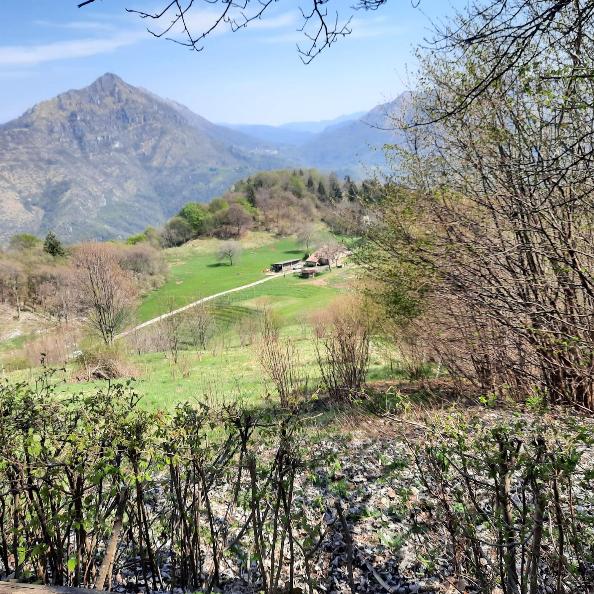
Rifugio CAI Valtrompia, also known as Rifugio Pontogna, is located in the Pontogna area (Tavernole sul Mella, BS) at an altitude of 1259 meters. It is situated on the eastern slopes of Monte Guglielmo and is managed by the CAI section of Gardone Val Trompia.
0
0

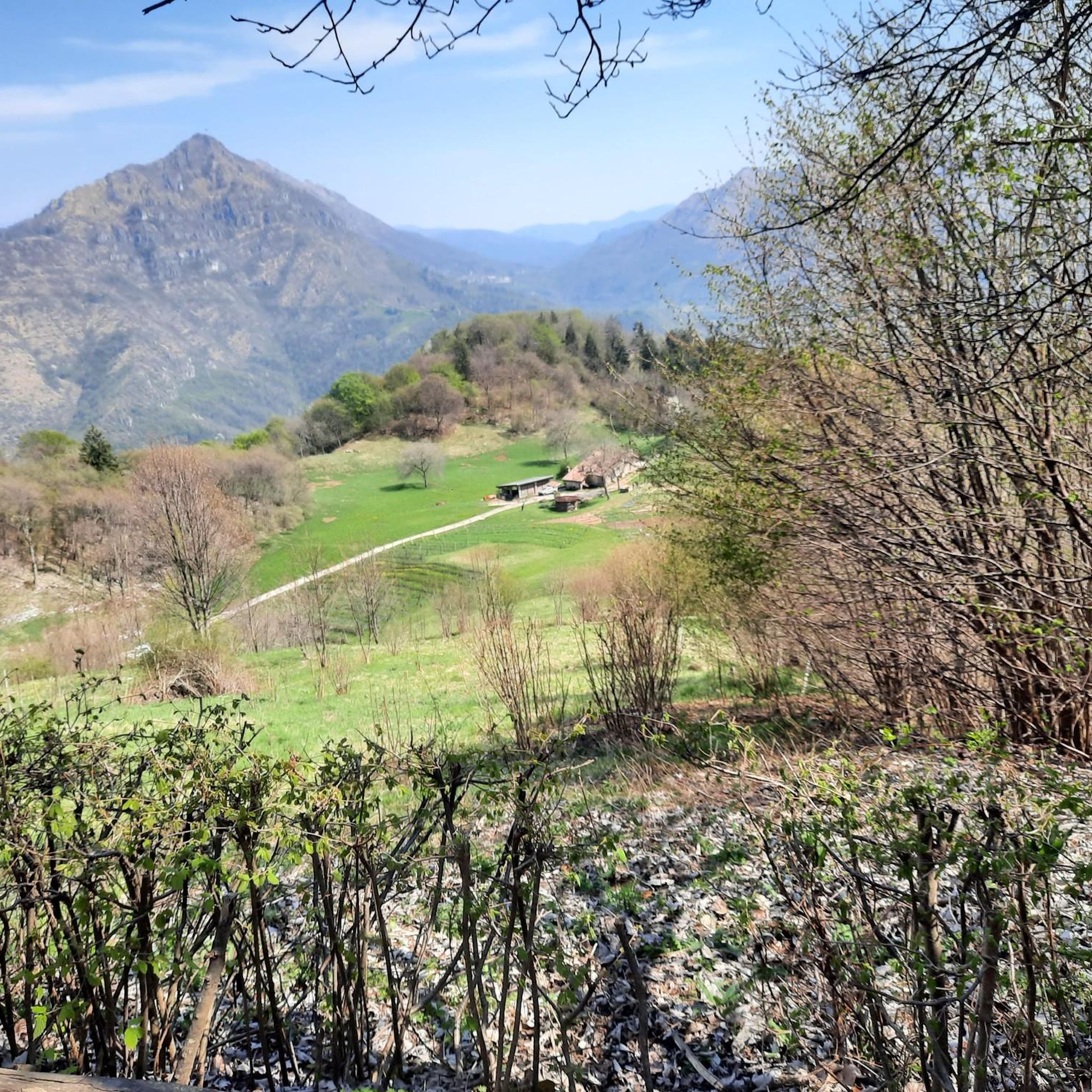
Panorama from Monte Guglielmo
0
0

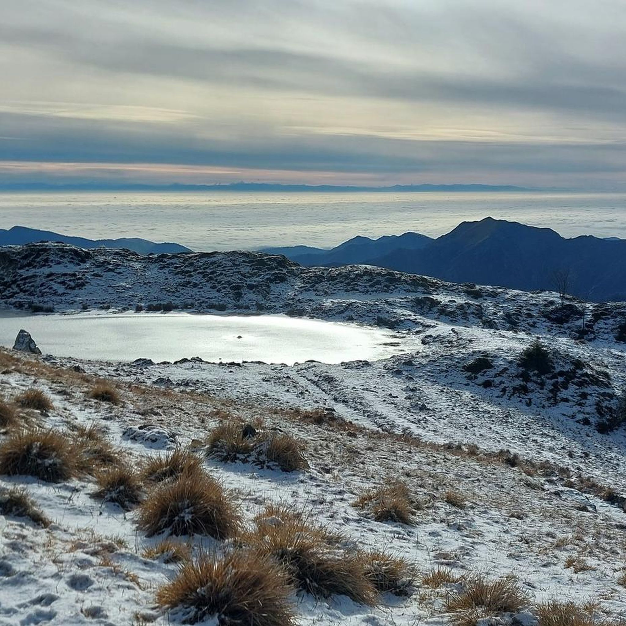
It's been 5 years since I climbed this peak, today I found the perfect day
1
0

on clear days you can see the Garda spot
0
0

The Rifugio Valtrompia, at 1259 m above sea level, offers 60 beds and 100 seats for catering. Reachable from Pezzoro, Caregno and Colle San Zeno, it is open all year and is managed by the CAI of Valtrompia. Info and reservations: https://caivaltrompia.it/rifugio/
2
0

Lake Iseo, located between the provinces of Bergamo and Brescia, is one of the most fascinating pre-Alpine lakes in Lombardy. With a surface area of about 65 square kilometers and an altitude of 185 meters above sea level, it is known for its natural beauty and the picturesque villages that surround it. In the center of the lake is Montisola, the largest lake island in Europe, which is one of the main tourist attractions. The shores of the lake are characterized by enchanting views, with mountains reflected in its waters and picturesque villages such as Lovere, Sarnico and Iseo, each rich in history and culture. The main activities include boat trips, trekking along the scenic paths that border the lake and discovering the cellars of Franciacorta, famous for the production of quality sparkling wines. Lake Iseo offers a unique mix of nature, sports, culture and gastronomy, making it a perfect destination for all types of visitors.
0
0

the refuge is closed Monday and Tuesday
3
0
Frequently Asked Questions
How many hiking trails are available around Tavernole sul Mella?
There are over 20 hiking trails around Tavernole sul Mella, catering to various skill levels. The majority are moderate, with several challenging options for experienced hikers.
Are there any easy or beginner-friendly hikes in the area?
While many trails are moderate, the region offers paths suitable for any fitness level, typically up to 2 hours with around 300 meters of elevation gain. For a relatively shorter loop, consider the Valtrompia Hut – Pezzoro - Pontogna loop from Pezzoro, which is about 3.6 km long.
What are some challenging hikes around Tavernole sul Mella?
For those seeking a challenge, the area features several difficult routes. A demanding option is the Valtrompia Hut – Rifugio Medelet loop from Pezzoro, which spans over 18 km with more than 1100 meters of elevation gain, requiring good fitness and alpine experience.
Are there any circular walks available?
Yes, several circular routes are popular in the area. The Valtrompia Hut – Malga Pontodena loop from Pezzoro is a notable circular trail, covering about 13.6 km through mountainous terrain and high-altitude pastures.
What kind of natural landmarks or viewpoints can I expect to see on the trails?
The trails often lead to panoramic views overlooking the Valtrompia valley villages, especially from peaks like Monte Pergua. The region is also characterized by the Mella River, extensive forests, and the unique geological features of the Caregno Plateau, including dolines. You can also explore nearby natural monuments like the Pyramids of Zone or the Val Grigna Regional Forest.
What do other hikers enjoy most about hiking in Tavernole sul Mella?
The area is highly rated by the komoot community, with an average score of 4.5 stars from over 500 reviews. Hikers frequently praise the diverse landscapes, from challenging mountain ascents to serene forest paths, and the rewarding panoramic views.
Is Tavernole sul Mella suitable for family-friendly hikes?
Yes, the region offers accessible paths suitable for families, particularly those with less elevation gain and shorter distances. While specific family-designated routes aren't listed, many moderate trails can be adapted for a family outing, focusing on the scenic forests and river areas.
Are there dog-friendly trails in Tavernole sul Mella?
Most natural trails in the Tavernole sul Mella area are generally dog-friendly, provided dogs are kept under control, especially around livestock or wildlife. It's always advisable to check local regulations for specific areas or nature reserves before heading out with your dog.
What is the best time of year to go hiking in Tavernole sul Mella?
The region is versatile for outdoor activities year-round. Spring and autumn offer pleasant temperatures and vibrant scenery for hiking. Summer is ideal for higher altitude trails, while winter provides opportunities for snowshoeing and skiing, making it a destination for all seasons.
Where can I find parking for hiking trails in Tavernole sul Mella?
Parking is generally available in the main village of Tavernole sul Mella. For trails originating from Pezzoro, such as the various Valtrompia Hut loops, parking can typically be found near the starting points in Pezzoro itself.
How can I reach the hiking trails using public transport?
Tavernole sul Mella is located in the Trompia Valley. While specific bus routes to individual trailheads might be limited, local bus services connect the main villages within the valley. It's recommended to check local bus schedules for connections to Tavernole sul Mella or Pezzoro, the starting point for several popular routes.
Are there any places to eat or stay near the hiking trails?
Tavernole sul Mella and nearby villages in the Trompia Valley offer various options for dining and accommodation, including restaurants serving local cuisine, cafes, and agriturismo establishments. These can provide a comfortable base or a place to refuel after your hike.
Most popular routes around Tavernole Sul Mella
Most popular attractions around Tavernole Sul Mella

Get inspired with the komoot mobile app


Explore more
Browse the best Hikes in other regions.
