The best mountain hikes around Toscolano-Maderno
4.6
(77)
526
hikers
32
hikes
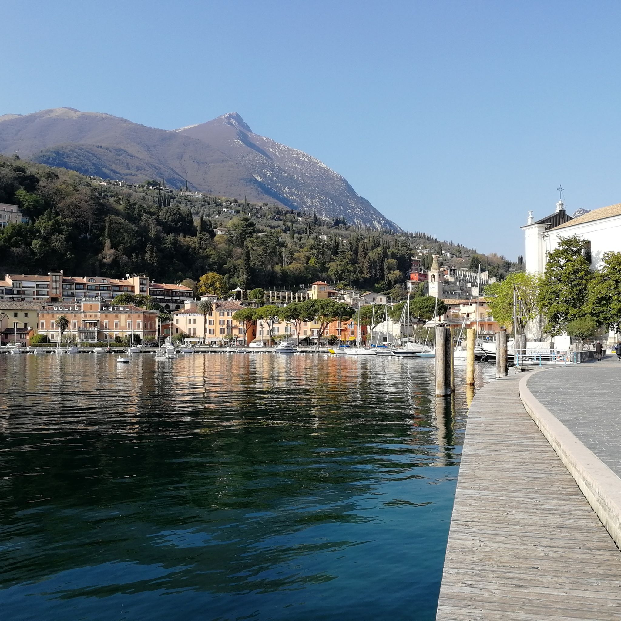
Mountaineering routes around Toscolano-Maderno are situated on the western shores of Lake Garda, within the Parco dell'Alto Garda Bresciano. The region is characterized by a diverse landscape of mountains, deep valleys, and historical routes. Prominent features include peaks like Monte Pizzocolo, Monte Spino, and Monte Castello di Gaino, offering varied terrain for ascents. Sparse forests and the Toscolano Gorge also define the area's natural composition.
Best mountaineering routes around Toscolano-Maderno
- The most popular mountaineering route is Monte Pizzocolo Summit loop…
Last updated: August 28, 2026
4.8
(16)
94
hikers
11.4km
06:04
1,020m
1,020m
Hard mountaineering route. Very good fitness required. Sure-footedness, sturdy shoes and alpine experience required.
3.8
(5)
85
hikers
Hard mountaineering route. Good fitness required. Sure-footedness, sturdy shoes and alpine experience required.

Sign up for free
5.0
(2)
22
hikers
15.9km
07:30
1,210m
1,210m
Hard mountaineering route. Very good fitness required. Sure-footedness, sturdy shoes and alpine experience required.
5.0
(5)
18
hikers
Hard mountaineering route. Great for any fitness level. Sure-footedness, sturdy shoes and alpine experience required.
7
hikers
Hard mountaineering route. Good fitness required. Sure-footedness, sturdy shoes and alpine experience required.
Get access to more routes and recommendations from other explorers.
Sign up for free
Already have an account?
Our route recommendations are based on thousands of hikes, rides, and runs completed by other people on komoot.
Start today with a free account
Your next adventure awaits.
Login or Signup
Tips from the Community

and it is very hard to climb, but when you reach the top all the effort is worth it.
0
0

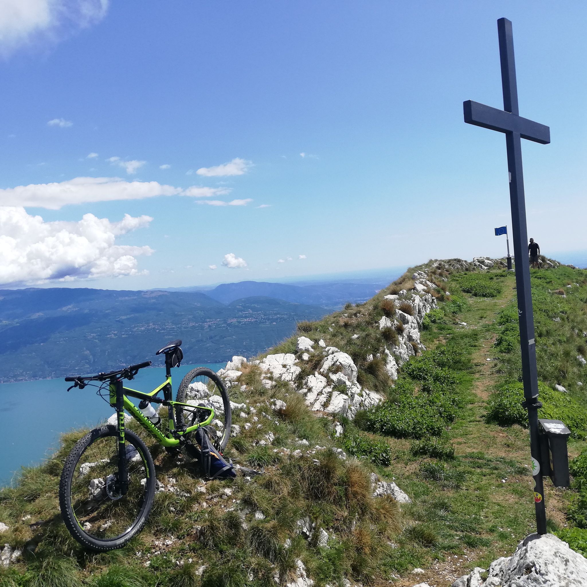
360° views from the top of Pizzocolo
0
0

To the right, the trail leads to the "SENTIERO ALPINISTICO TRE AMICI," which, according to bergsteigen.com, is supposed to be more difficult. But I wasn't wearing a helmet, it had rained the night before, and there are supposed to be steep grassy slopes, and I could still feel the effects of the three Campari Spritzers from the night before. So I continued straight ahead. From here, it's basically just steep walking terrain.
0
0

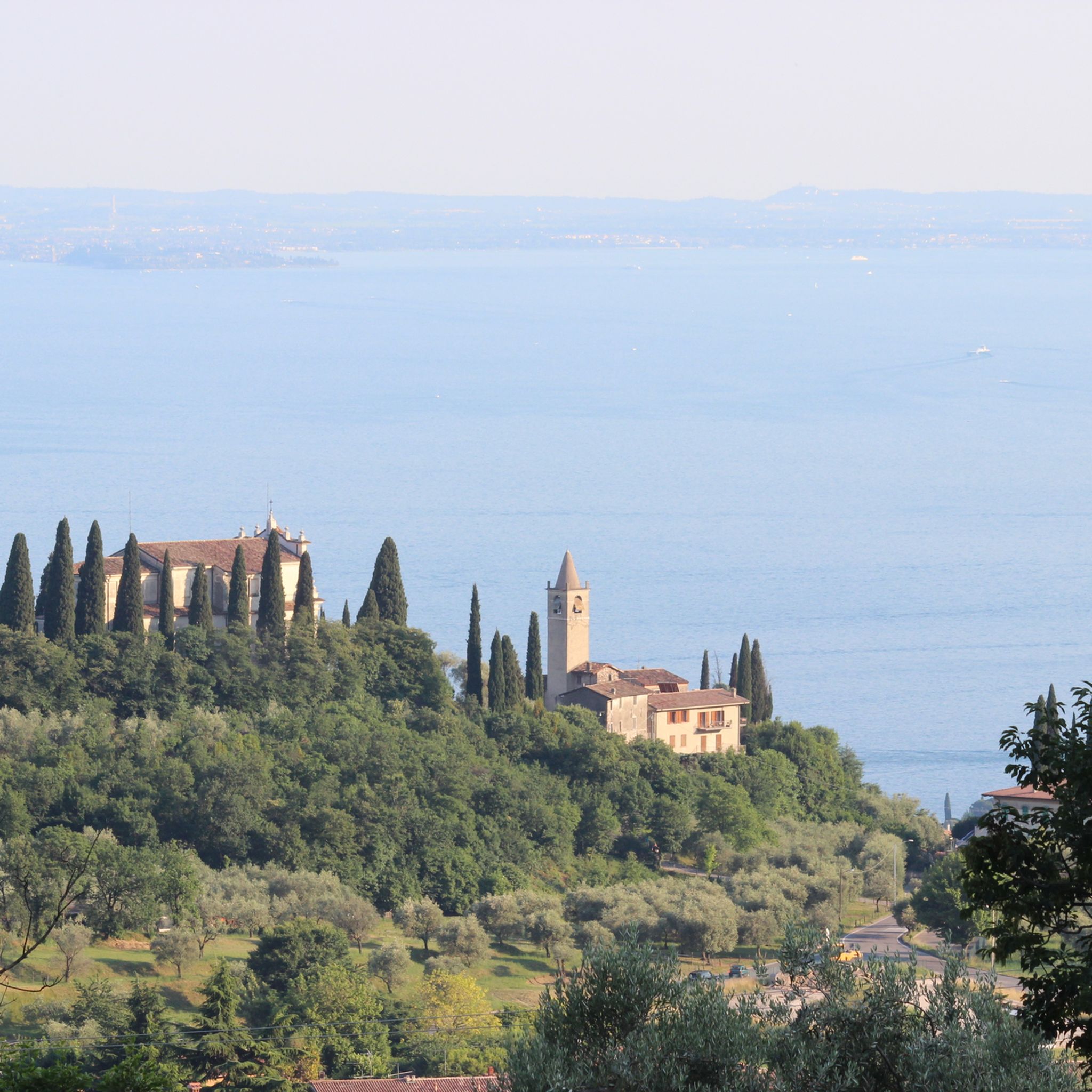
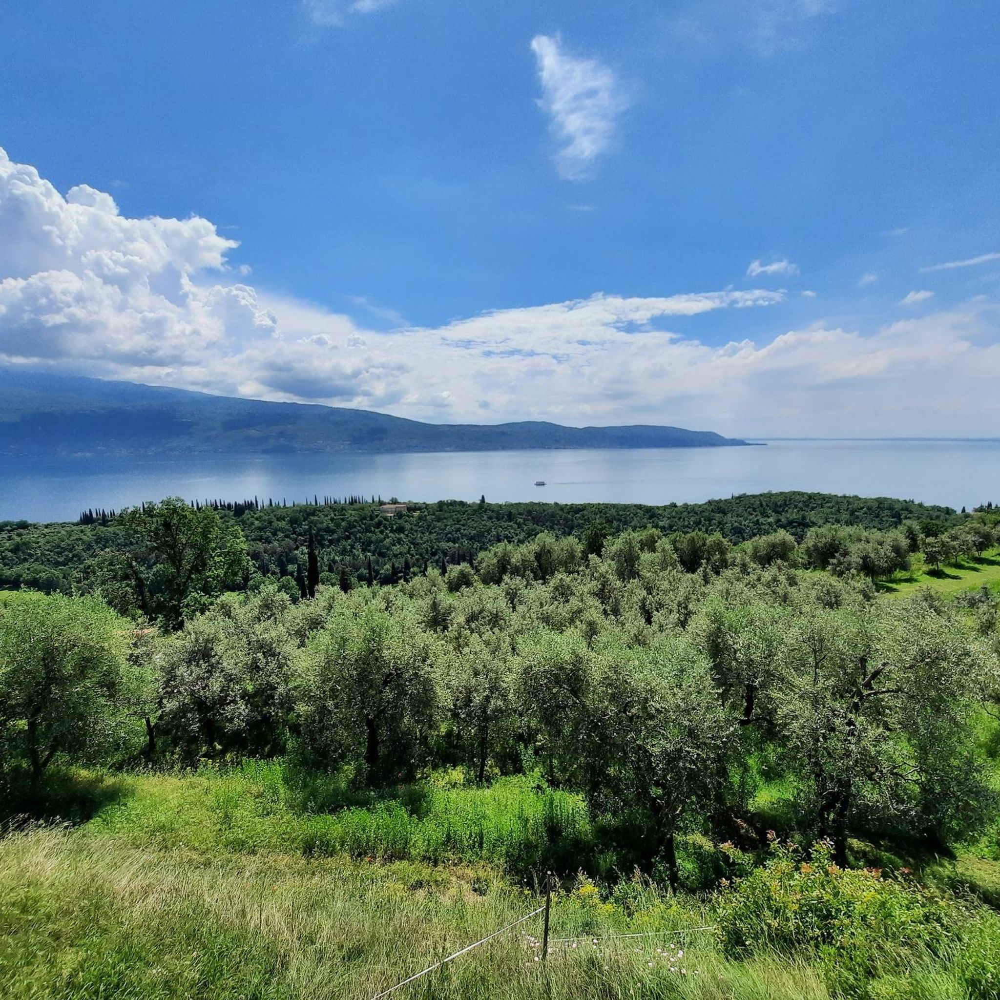
Not far from the path that leads to Monte Castello di Gaino, this panoramic point offers a spectacular view of Lake Garda. From here, you can admire the blue waters of the lake that extend to the horizon, surrounded by the rolling hills and mountains that outline its profile.
0
0

Monte Pizzocolo offers an incredibly beautiful view
0
0

This rocky hill towers directly above the southern part of Lake Garda and is one of the best viewpoints in the entire area. The tour is short and therefore not very strenuous, but requires a minimum of sure-footedness in the last third.
25
0
At almost 1,600 m, Monte Pizzocolo is the highest elevation at the south-western end of Lake Garda and the panorama from the summit is accordingly magnificent. On a clear day, the view extends far into the Po Valley and to the north, the glacial mountains Adamello and Presanella shine.
21
1
The entry point is the route "La Cresta", to the right of "Andromeda". If you get stuck at the rope, you've gone too far. And: It's NOT A HIKE. The first 30-50 meters must be climbed solidly at grade 3/4. After that, it gets easier, but you'll still need your hands.
0
0
Frequently Asked Questions
How many mountaineering routes are available in Toscolano-Maderno?
There are over 30 mountaineering routes around Toscolano-Maderno, offering a diverse range of experiences. The majority, about two-thirds, are classified as difficult, while the remaining routes are moderate.
What kind of terrain can I expect on mountaineering routes in Toscolano-Maderno?
The terrain is varied, ranging from challenging ascents on prominent peaks like Monte Pizzocolo and Monte Castello di Gaino to paths through deep valleys and sparse forests. Some routes, such as the Monte Castello Summit loop from Navazzo, feature sections equipped with ropes for assistance, indicating a more technical experience. You'll find a blend of rugged mountain trails and historical paths within the Alto Garda Bresciano Natural Park.
Are there any mountaineering routes with panoramic viewpoints?
Absolutely. Many routes offer stunning panoramic views. Monte Pizzocolo, often called the 'balcony of Lake Garda,' provides unparalleled vistas of the entire lake, the Alps, and even the Apennines. Routes like the Monte Pizzocolo Summit loop from Municipio di Toscolano Maderno and the Monte Pizzocolo Summit loop from Toscolano Maderno are known for their expansive views. Additionally, nearby viewpoints like Rocca di Manerba del Garda and Punta Sasso Viewpoint offer breathtaking perspectives of Lake Garda and the surrounding mountains.
Are there any circular mountaineering routes in the area?
Yes, several routes are designed as loops, allowing you to start and end in the same location. Popular options include the Monte Pizzocolo Summit loop from Municipio di Toscolano Maderno and the Monte Castello Summit loop from Navazzo. These circular routes provide a comprehensive experience of the local landscape without retracing your steps.
What natural attractions can I see along the mountaineering routes?
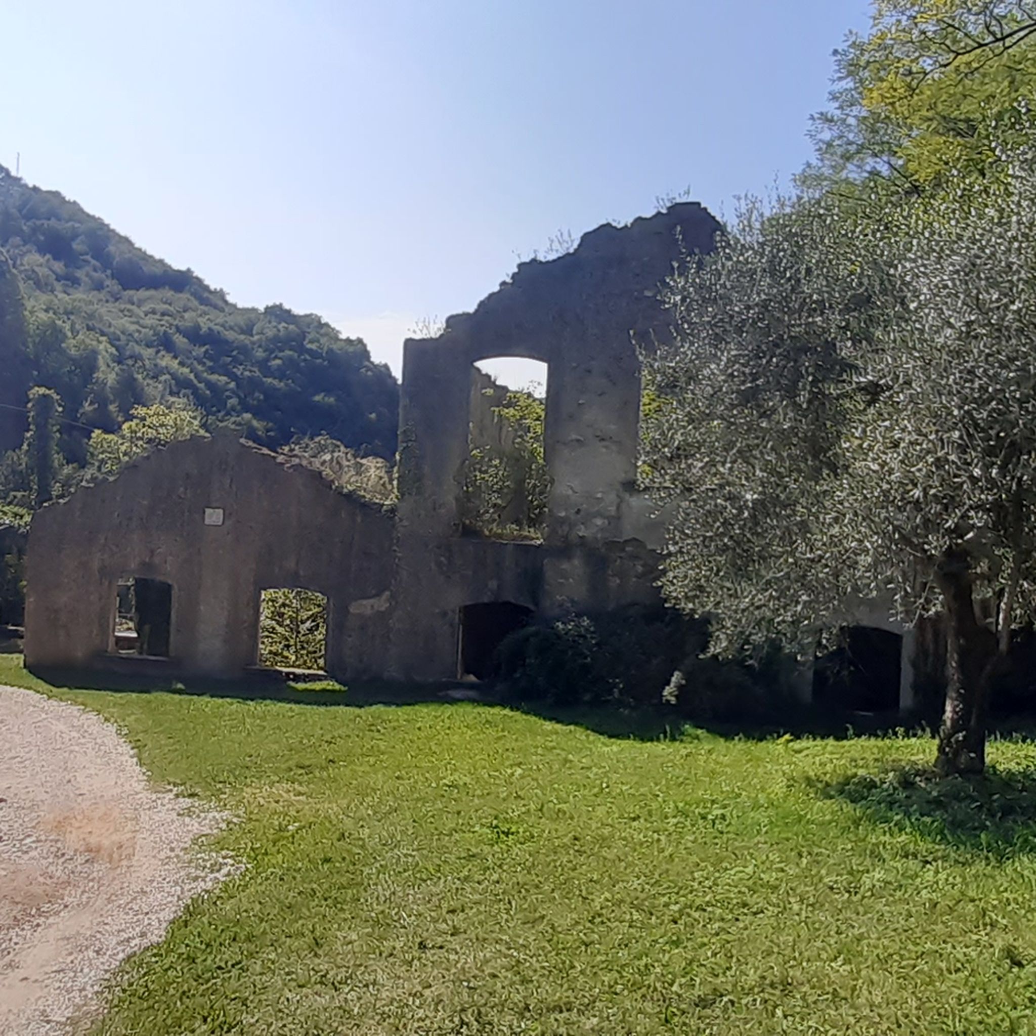
Beyond the stunning mountain and lake views, you can discover several natural attractions. The region is home to waterfalls like the Piovere Waterfall and the Waterfall and natural pools at the stone bridge near Tignale. The Valle delle Cartiere (Paper Mill Valley) offers a unique blend of nature and history, with trails that can connect to higher mountain routes. The entire area is part of the Alto Garda Bresciano Natural Park, ensuring a preserved environment rich in natural beauty.
Are there any easier mountaineering routes for beginners?
While the majority of mountaineering routes in Toscolano-Maderno are classified as difficult, there are some moderate options available. These routes still require good fitness and appropriate footwear but are less technically demanding than the most challenging ascents. For very easy walks, consider trails in the Valle delle Cartiere, which are suitable for all levels, including families, and can serve as a starting point for exploring the surrounding hills.
What do other mountaineers say about the routes in Toscolano-Maderno?
The mountaineering routes in Toscolano-Maderno are highly regarded by the komoot community, boasting an average rating of 4.7 stars from over 60 reviews. Mountaineers often praise the challenging nature of the trails, the breathtaking panoramic views, and the well-preserved natural environment within the Alto Garda Bresciano Natural Park.
Is there parking available near the trailheads?
Yes, many mountaineering routes in Toscolano-Maderno have designated parking areas near their starting points. For example, routes like the Monte Pizzocolo Summit loop from Municipio di Toscolano Maderno typically start from accessible locations within or near towns, where parking facilities are available. It's always advisable to check specific route details for precise parking information.
Can I access mountaineering routes using public transport?
Toscolano-Maderno is connected by public transport, and some routes may be accessible from bus stops within the town or nearby villages. While direct access to every trailhead via public transport might be limited, you can often reach starting points by combining public transport with a short walk. For more detailed information on local transport options, you might consult local tourist information or the official Toscolano-Maderno website.
What is the best time of year for mountaineering in Toscolano-Maderno?
The best time for mountaineering in Toscolano-Maderno is generally from spring to autumn (April to October). During these months, the weather is more stable, and trails are typically free of snow, especially at lower elevations. Summer offers warmer temperatures, while spring and autumn provide milder conditions and vibrant natural colors. Winter mountaineering is possible but requires specific equipment and experience due to potential snow and ice, particularly on higher peaks like Monte Pizzocolo.
Are there any less crowded mountaineering trails in Toscolano-Maderno?
While popular routes like those to Monte Pizzocolo can see more traffic, especially on weekends, the Alto Garda Bresciano Natural Park offers a vast network of trails. Exploring some of the less-known paths or venturing out during weekdays or off-peak seasons can lead to a more solitary experience. Routes that delve deeper into the valleys or those with slightly longer approaches tend to be less frequented.
Are dogs allowed on the mountaineering routes?
Generally, dogs are allowed on hiking and mountaineering trails in the Alto Garda Bresciano Natural Park, provided they are kept under control, preferably on a leash, and that owners clean up after them. However, specific regulations may apply in certain protected areas or on private land. Always check local signage and be mindful of wildlife and other hikers.
Most popular routes around Toscolano-Maderno
Most popular attractions around Toscolano-Maderno

Get inspired with the komoot mobile app


Explore more
Browse the best Mountain Hikes & Routes in other regions.
