The best mountain hikes around Laino
5.0
(6)
28
hikers
4
hikes
Mountaineering routes around Laino are situated within the rugged landscapes of Pollino National Park, a UNESCO Global Geopark. This region, straddling Calabria and Basilicata, features a diverse terrain of challenging alpine treks, dense beech forests, and expansive rocky peaks. The area is characterized by significant elevation changes, including Mount Gada at 1,264 meters, contributing to its mountainous character. Limestone cliffs and deep gorges, carved by rivers like the Lao, define much of the natural environment, offering a robust setting for…
Last updated: October 28, 2026
5.0
(1)
8
hikers
13.5km
07:07
1,190m
1,190m
Hard mountaineering route. Very good fitness required. Sure-footedness, sturdy shoes and alpine experience required.
5.0
(1)
7
hikers
11.2km
06:36
1,150m
1,150m
Hard mountaineering route. Very good fitness required. Sure-footedness, sturdy shoes and alpine experience required.

5.0
(1)
4
hikers
6.07km
02:23
410m
410m
Moderate mountaineering route. Good fitness required. Mostly walkable paths. Sure-footedness required.
5.0
(1)
6
hikers
12.8km
05:35
820m
810m
Hard mountaineering route. Very good fitness required. Sure-footedness, sturdy shoes and alpine experience required.
5.0
(2)
4
hikers
9.16km
03:40
570m
570m
Moderate mountaineering route. Good fitness required. Mostly walkable paths. Sure-footedness required.
Our route recommendations are based on thousands of hikes, rides, and runs completed by other people on komoot.
Start today with a free account
Your next adventure awaits.
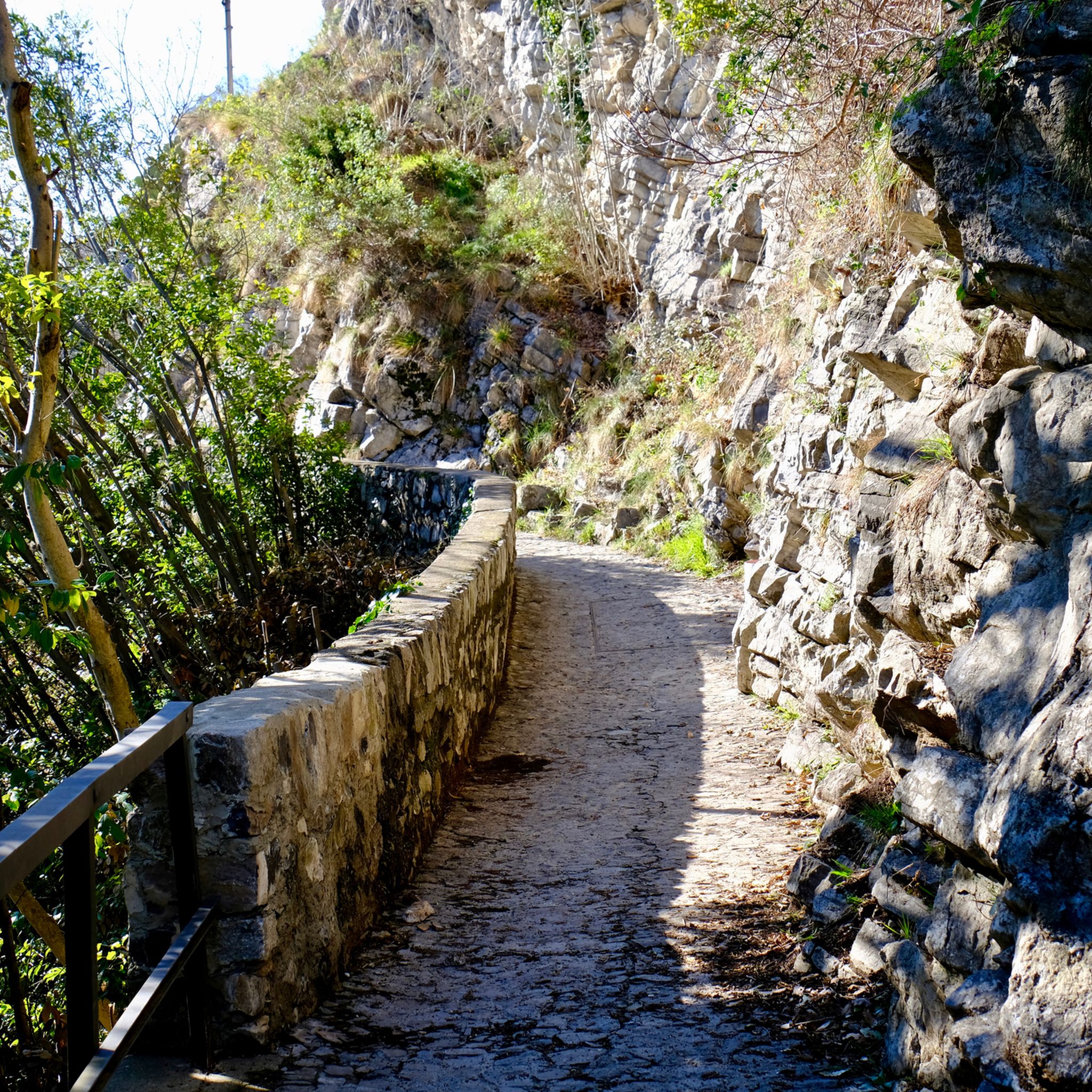

Tips from the Community

SAT Mendrisio connects it to a Celtic root, with the meaning of “bushy area” or “fenced area where livestock is kept”. It was precisely there, in the locality of Baraghetto, that Countess Carla Nobili Vitelleschi had the small house known as Cà dala mata or Casa della contessa built.
0
0

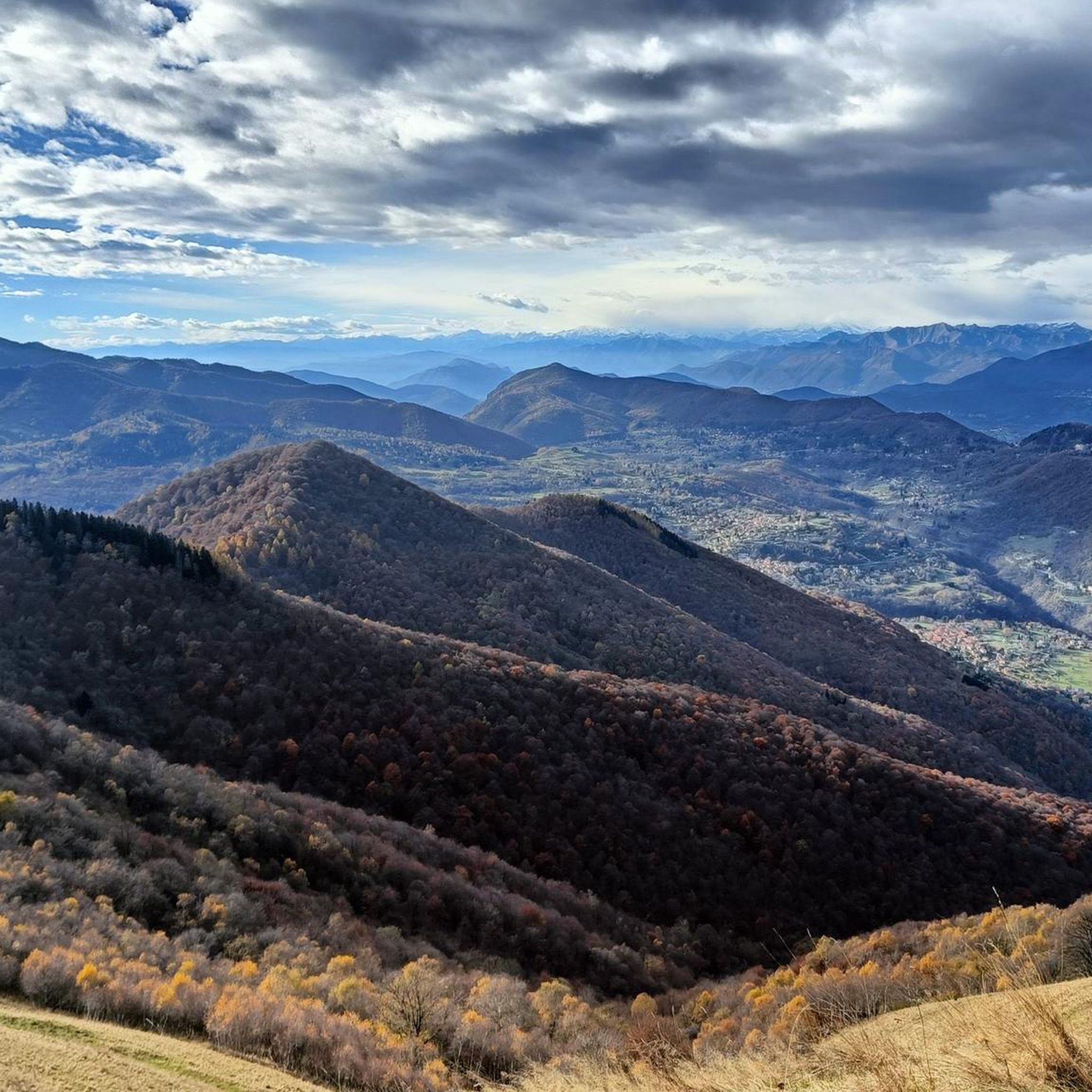
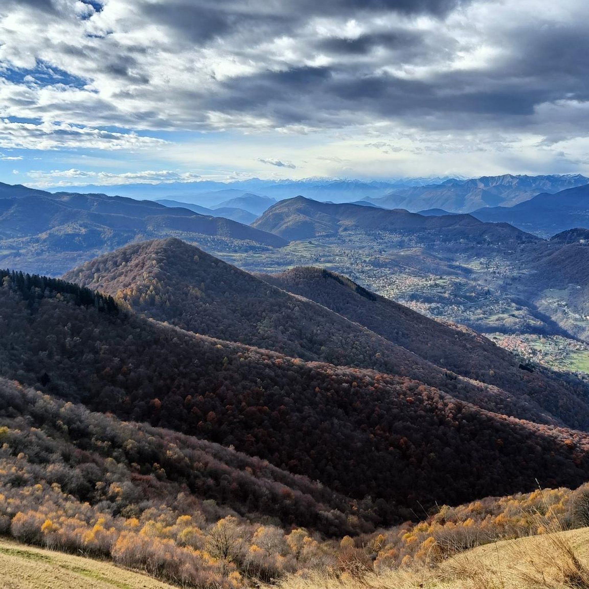
From Mount Generoso you can see Switzerland, Brianza, the Varese area and the mountains of Valsassina.
0
0
Beautiful 360° view
0
0
On the path to Mount Generoso
0
0
Italy-Switzerland border
0
0
We passed through Mount Generoso
0
0
From the top you can enjoy a 360° panorama of the Alps, the mountains of Valsassina, Lugano and the plain.
0
0
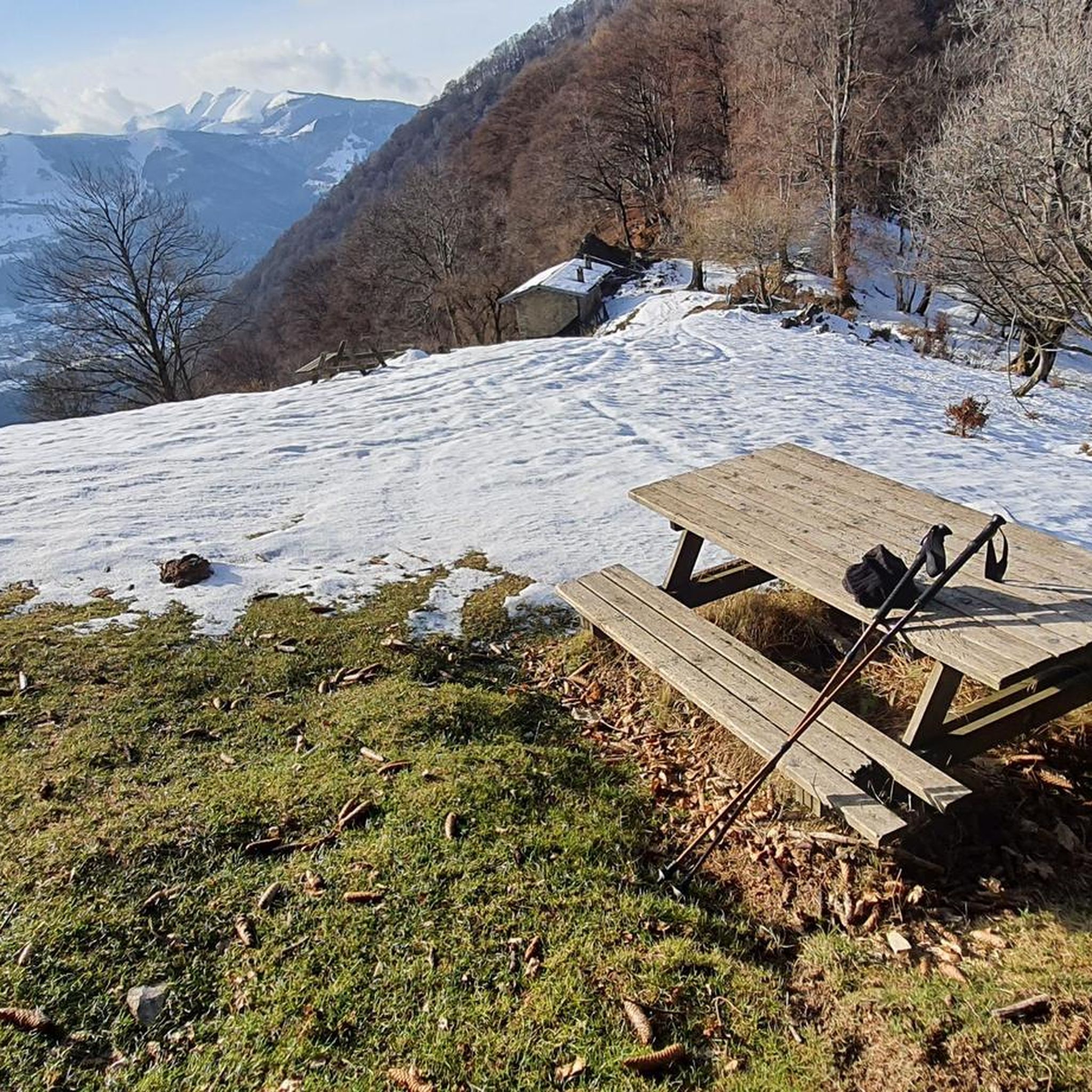
Structure just below Mount Generoso, here arrives the train that leaves from the Swiss side, the structure houses a restaurant
0
0
Frequently Asked Questions
How many mountaineering routes are available around Laino?
There are 7 dedicated mountaineering routes around Laino, offering a range of experiences within the rugged landscapes of Pollino National Park. These routes are highly rated by the komoot community, with an average score of 5.0 stars.
Are there any easy mountaineering routes for beginners in Laino?
While many routes are challenging, there are a couple of moderate options suitable for those looking for a less strenuous mountaineering experience. For example, the Ponte di Strolech – Historic center of Porlezza loop from Porlezza is a moderate route covering about 6 km, and the Monte Costone – Monte Pasquella loop from Pigra is another moderate option at around 9 km.
What kind of terrain can I expect on mountaineering routes in Laino?
Mountaineering routes in Laino feature diverse and rugged terrain. You can expect significant elevation changes, dense beech forests, expansive open plateaus, and rocky peaks. The region is characterized by limestone cliffs and deep gorges, particularly around the Lao River, offering a robust setting for challenging alpine treks.
Are there any circular mountaineering routes in the Laino area?
Yes, several routes are designed as loops, allowing you to start and end in the same location. Examples include the challenging Sasso Rosso – Monte Boglia loop from Brè sopra Lugano, which is about 11 km, or the longer Rifugio Venini – Hike to Rifugio Venini loop from Alpe di Colonno, spanning 19 km.
What are the best times of year for mountaineering in Laino?
The best seasons for mountaineering in Laino are typically spring and autumn when temperatures are milder and the natural scenery is vibrant. Summer can also be suitable, especially for higher elevations, but be prepared for warmer conditions. Winter mountaineering is possible but requires specialized equipment and experience due to snow and ice conditions in the higher parts of Pollino National Park.
What interesting landmarks or natural features can I see along the routes?
The routes are set within the stunning Pollino National Park, a UNESCO Global Geopark. You might encounter the ancient Pino Loricato (Bosnian Pine) trees, which are a symbol of the park. While specific routes vary, the region is known for its dramatic landscapes, including Mount Gada and the spectacular Gole del Lao (Lao Gorges). You can also explore nearby historical sites like Villa Ciani or natural viewpoints such as Monte Generoso.
Are there any specific permits required for mountaineering in Pollino National Park?
Pollino National Park is a protected area. While general access for hiking is usually permitted, it's always advisable to check the official Pollino National Park website for any specific regulations, permit requirements for certain zones, or guided tour necessities, especially for more challenging or sensitive areas.
What do other mountaineers enjoy most about the routes in Laino?
The komoot community highly rates the mountaineering routes around Laino, with an average score of 5.0 stars. Reviewers often praise the challenging alpine treks, the dramatic natural beauty of Pollino National Park, and the sense of adventure offered by the rugged mountains and deep gorges. Many appreciate the diverse ecosystems and the opportunity to explore an authentic, off-the-beaten-path destination.
Is it possible to reach the mountaineering trailheads using public transport?
Laino Borgo is nestled within a mountainous region, and while some local bus services might connect to nearby towns, direct public transport to specific trailheads can be limited. It's recommended to research local bus schedules or consider private transport options to access the starting points of many mountaineering routes.
Are there options for advanced mountaineers seeking significant challenges?
Absolutely. The Laino area, particularly within Pollino National Park, offers significant challenges for advanced mountaineers. Five out of the seven routes are rated as difficult, featuring extensive climbs and substantial elevation gains. Routes like the Bocchetta d'Orimento loop from Monte Generoso, which is over 12 km and takes nearly 5.5 hours, provide demanding experiences through challenging mountain passes.
Can I find places to eat or stay near the mountaineering routes in Laino?
Laino Borgo itself is a mountain center within Pollino National Park and offers local amenities. You can find cafes, restaurants, and accommodation options in the town. For routes further afield, it's wise to carry sufficient supplies, though some routes might pass near small villages or mountain refuges where refreshments could be available.
Most popular attractions around Laino

Get inspired with the komoot mobile app


Explore more
Browse the best Mountain Hikes & Routes in other regions.
