The best mountain hikes around Ramponio Verna
5.0
(10)
75
hikers
9
hikes
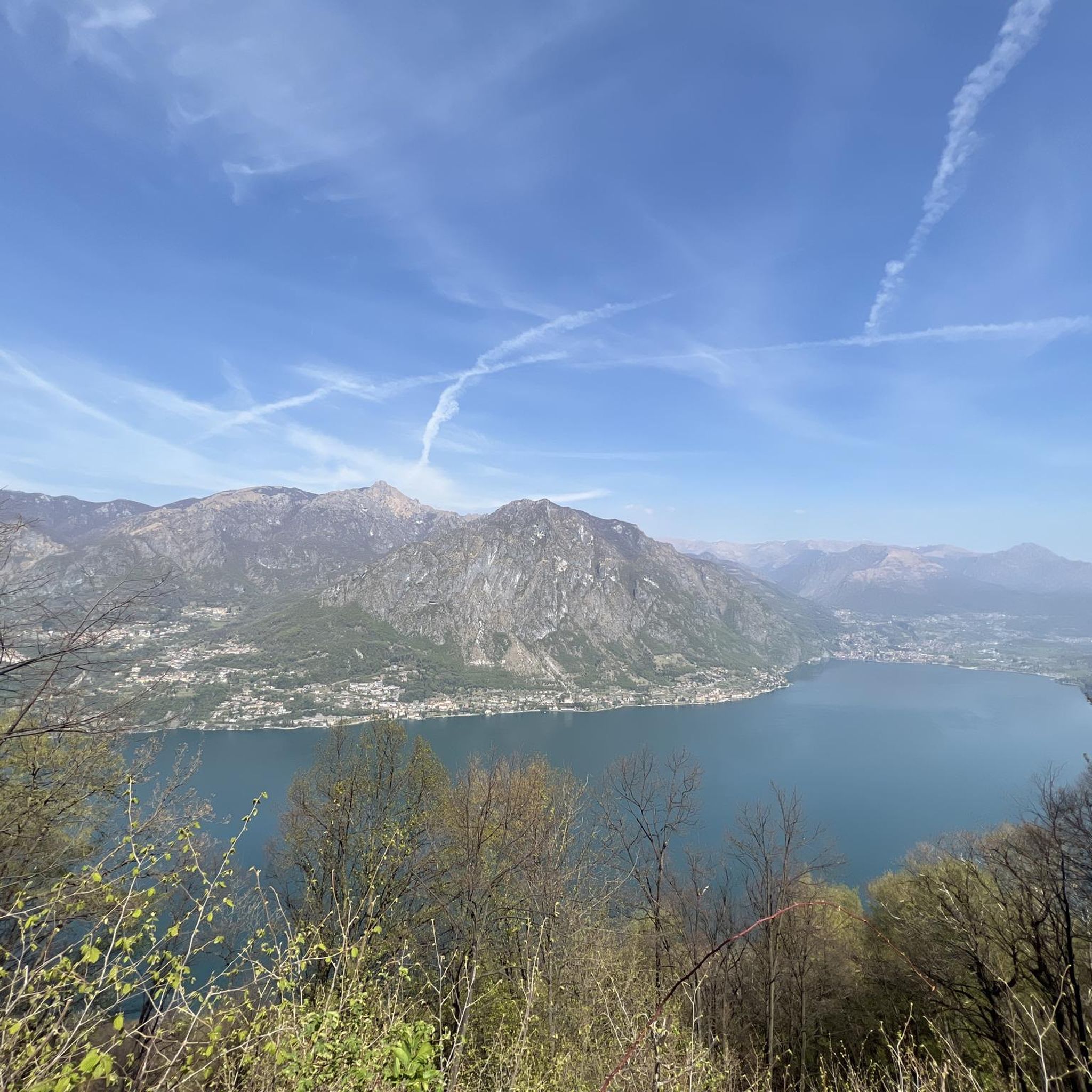
Mountaineering around Ramponio Verna is characterized by its location within the Valle Intelvi, a mountainous region connecting Lake Como and Lake Lugano. The terrain features limestone formations, dense woodlands, and significant peaks such as Monte Generoso and Monte Sighignola. This area offers diverse alpine environments, from high-altitude viewpoints to forested valleys, suitable for various mountaineering activities.
Best mountaineering routes around Ramponio Verna
- The most popular mountaineering route is Monte San Salvatore – Puntobelvedere loop from Pazzallo, a 3.0 miles…
Last updated: May 15, 2026
5.0
(3)
35
hikers
4.38km
02:13
350m
350m
Moderate mountaineering route. Good fitness required. Mostly accessible paths. Sure-footedness required.
5.0
(1)
9
hikers
13.6km
07:08
1,190m
1,190m
Hard mountaineering route. Very good fitness required. Sure-footedness, sturdy shoes and alpine experience required.

Sign up for free
5.0
(1)
6
hikers
11.4km
06:38
1,150m
1,150m
Hard mountaineering route. Very good fitness required. Sure-footedness, sturdy shoes and alpine experience required.
5.0
(1)
4
hikers
6.07km
02:22
410m
410m
Moderate mountaineering route. Good fitness required. Mostly accessible paths. Sure-footedness required.
5.0
(1)
5
hikers
12.7km
05:28
790m
800m
Hard mountaineering route. Very good fitness required. Sure-footedness, sturdy shoes and alpine experience required.
Get access to more routes and recommendations from other explorers.
Sign up for free
Already have an account?
Our route recommendations are based on thousands of hikes, rides, and runs completed by other people on komoot.
Start today with a free account
Your next adventure awaits.
Login or Signup

Tips from the Community

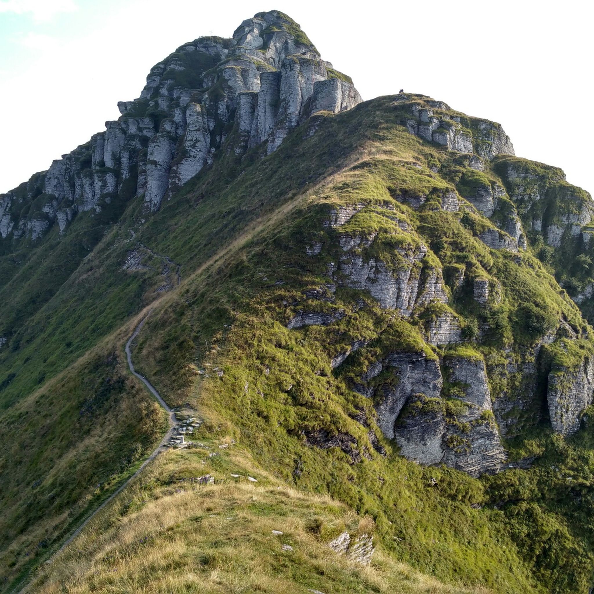
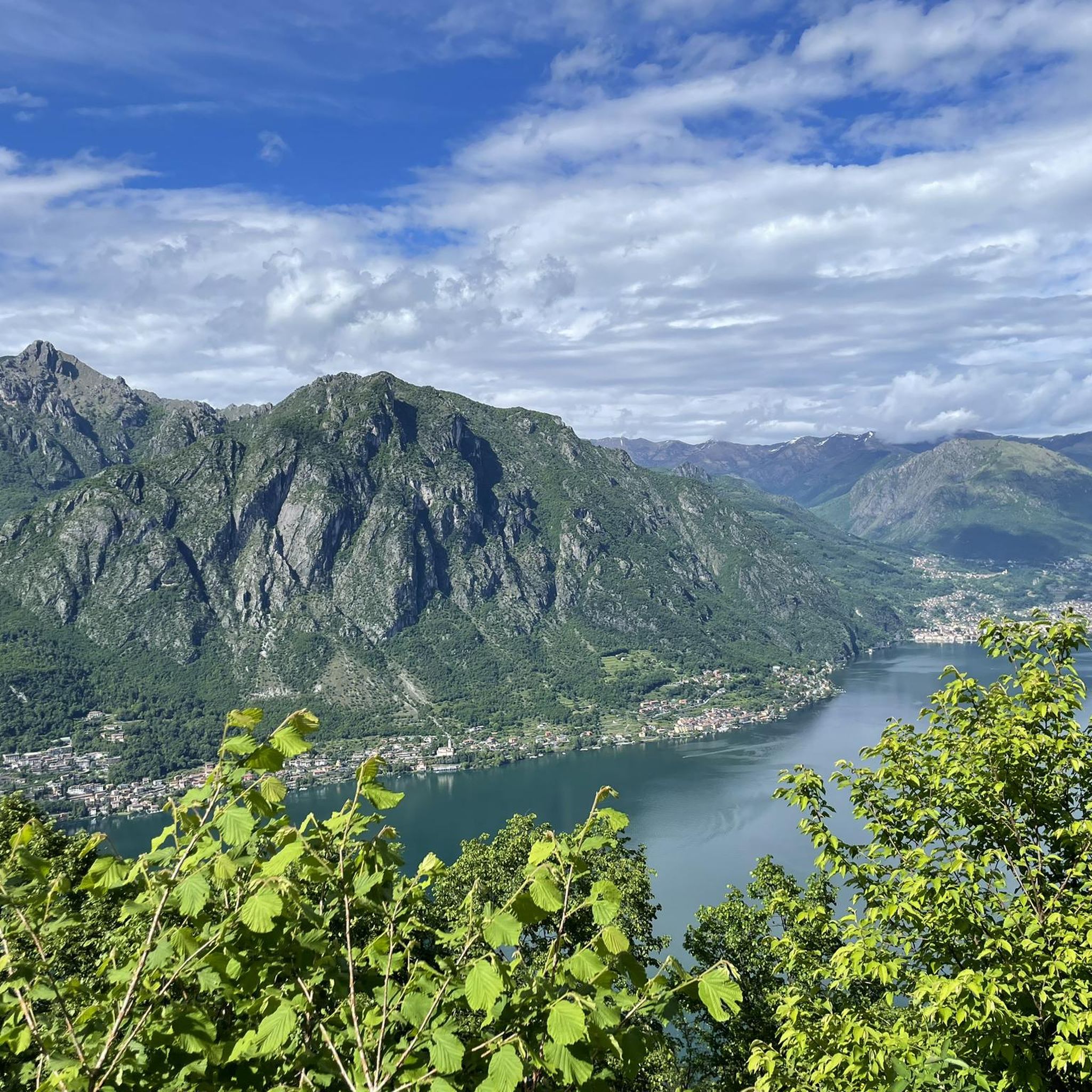
From Mount Generoso you can see Switzerland, Brianza, the Varese area and the mountains of Valsassina.
0
0
Beautiful 360° view
0
0
On the path to Mount Generoso
0
0

Path inside the woods. if you are with a racing bike it is better to bring a backpack with a pair of tennis shoes. Travel time about 25-30 min
2
0

very pretty here, very pretty
0
0

From here the path becomes increasingly steep and narrow, slippery in wet weather in winter and autumn. Difficult climb to the top. Then also very difficult descent over narrow rocky paths, then wide but steep descent to the city
0
0

Strölech Bridge over the Rezzo torrent
0
0

Chill out by train
0
0
Frequently Asked Questions
What types of mountaineering experiences does Ramponio Verna offer?
Ramponio Verna, situated in the Valle Intelvi, provides a diverse range of mountaineering experiences. You'll find routes traversing limestone formations, dense woodlands, and significant peaks like Monte Generoso and Monte Sighignola. The area offers everything from moderate ascents with panoramic lake views to challenging alpine routes, including sections of via ferrata for experienced climbers.
Are there any easy or moderate mountaineering routes suitable for beginners or families?
Yes, there are several moderate routes. For a scenic, less strenuous option, consider the Monte San Salvatore – Puntobelvedere loop from Pazzallo. This 4.8 km route takes about 2 hours 20 minutes and offers beautiful views from Monte San Salvatore. Another moderate choice is the Ponte di Strolech – Historic center of Porlezza loop from Porlezza, which is 6 km long and takes around 2 hours 20 minutes.
Where can I find challenging mountaineering routes in the area?
For those seeking a challenge, the region offers several difficult routes. The Sasso Rosso – Monte Boglia loop from Brè sopra Lugano is a demanding 11.1 km path that traverses alpine peaks with expansive views over Lake Lugano. Another challenging option is the Rifugio Venini – Hike to Rifugio Venini loop from Alpe di Colonno, an 19 km trail leading through alpine pastures towards a mountain hut, typically completed in about 7 hours.
What are some notable viewpoints or landmarks I can see along the mountaineering trails?
The region is rich in stunning viewpoints and landmarks. From many trails, you can enjoy breathtaking views of Lake Lugano and Lake Como. Specifically, the View from Monte San Salvatore is highly recommended. You might also encounter historical sites like the Antica Dogana di Bonello or mountain passes such as San Lucio Pass and Passo di Monte Tremezzo.
Are there any circular mountaineering routes around Ramponio Verna?
Yes, many of the mountaineering routes in the area are designed as loops, allowing you to start and end at the same point. Examples include the Monte San Salvatore – Puntobelvedere loop from Pazzallo and the challenging View of Lake Lugano – Monte Generoso Alpine Route loop from Val Mara, which offers extensive views and a significant elevation gain.
What do other mountaineers say about the routes in Ramponio Verna?
The mountaineering routes around Ramponio Verna are highly regarded by the komoot community, boasting an average rating of 5.0 stars from over 10 reviews. Mountaineers frequently praise the diverse terrain, the stunning panoramic views of the pre-alpine lakes, and the variety of options available for different skill levels.
Is it possible to go mountaineering in Ramponio Verna during winter?
Yes, the Valle Intelvi region, where Ramponio Verna is located, is suitable for winter activities. The mention of 'Alpinism Skiing' (ski mountaineering) and snowshoeing indicates opportunities for snow-based exploration during the colder months. However, winter conditions require appropriate gear, experience, and checking local avalanche warnings.
Are there any specific attractions or activities related to Monte Generoso?
Monte Generoso is a prominent feature in the region, offering spectacular panoramic views encompassing Lake Lugano, Lake Como, and even the distant Alps. For experienced mountaineers, the Via Ferrata Angelino on Monte Generoso provides a true alpine experience with climbing sections and exposed traverses. You can learn more about Monte Generoso on Wikipedia.
Are there any mountain huts or refuges along the trails?
Yes, some routes lead to or pass by mountain huts. For instance, the Rifugio Venini – Hike to Rifugio Venini loop from Alpe di Colonno specifically targets a mountain hut. The Orimento Hut is another notable point of interest in the area that can serve as a stop or destination.
What is the best time of year for mountaineering in Ramponio Verna?
The best time for mountaineering typically spans from late spring to early autumn (May to October), when the weather is generally stable, and trails are clear of snow. However, the region's suitability for 'Alpinism Skiing' and snowshoeing means that winter also offers unique opportunities for those equipped for snow conditions.
Are there options for rock climbing in the Valle Intelvi area?
Yes, for those interested in rock climbing, the Carate Urio Crag in Valle Intelvi is suitable for medium-experienced climbers, offering routes with French difficulty ratings from 5a to 8a. The local CAI (Italian Alpine Club) can also provide equipment and guidance for climbing at the Laino Tower, which has varying difficulties.
Most popular routes around Ramponio Verna
Most popular attractions around Ramponio Verna

Get inspired with the komoot mobile app


Explore more
Browse the best Mountain Hikes & Routes in other regions.
