The best mountain hikes around Laglio
5.0
(3)
12
hikers
4
hikes
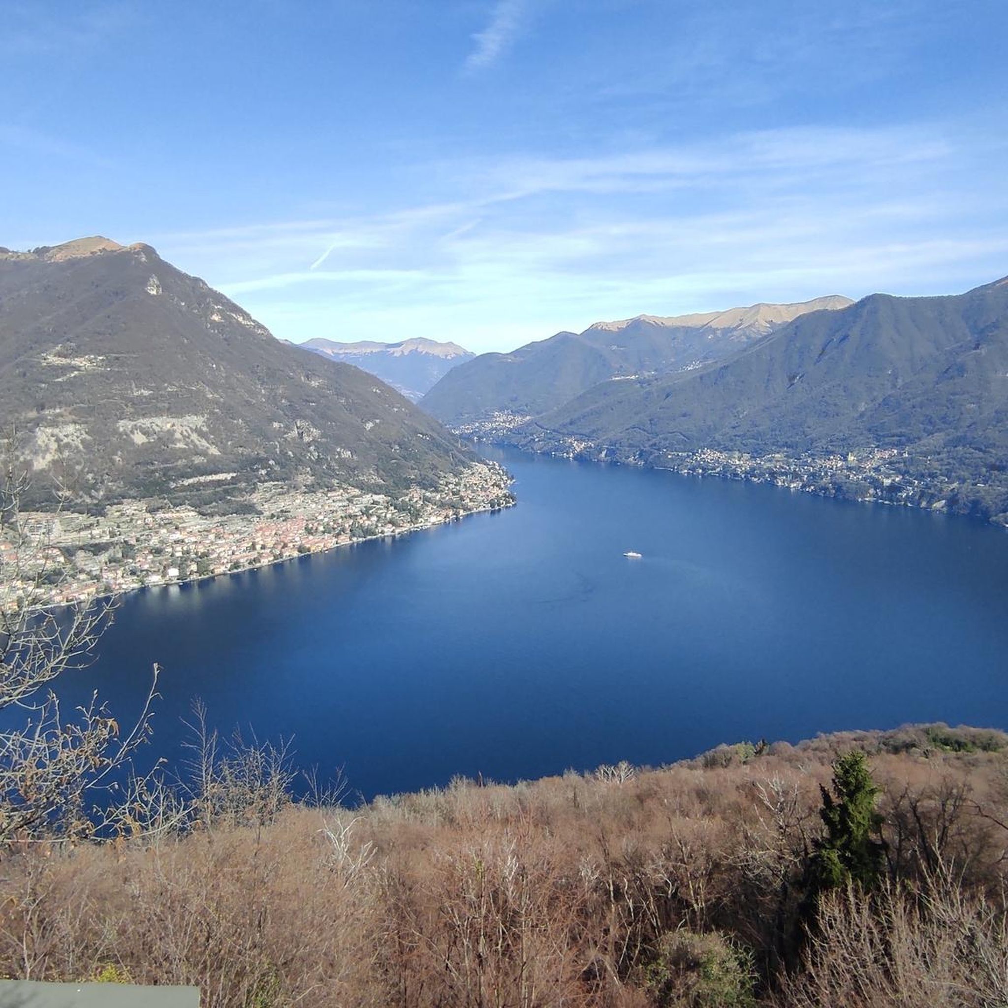
Mountaineering around Laglio offers access to challenging pre-alpine terrain directly from the shores of Lake Como. The region is characterized by limestone mountains, including Mount Colmegnone (1383 m), rising steeply from the lake, and dense forests covering the hillsides. These landscapes provide significant elevation gain and varied routes for outdoor enthusiasts.
Best mountaineering routes around Laglio
- The most popular mountaineering route is Cima del Costone – Monte San Primo loop from Parco Monte San Primo, a 4.7 miles (7.5…
Last updated: October 8, 2026
5.0
(1)
5
hikers
12.8km
05:35
820m
810m
Hard mountaineering route. Very good fitness required. Sure-footedness, sturdy shoes and alpine experience required.
5.0
(2)
4
hikers
9.16km
03:40
570m
570m
Moderate mountaineering route. Good fitness required. Mostly accessible paths. Sure-footedness required.

2
hikers
4.59km
01:42
280m
280m
Moderate mountaineering route. Great for any fitness level. Mostly accessible paths. Sure-footedness required.
1
hikers
11.5km
03:27
340m
340m
Moderate mountaineering route. Good fitness required. Mostly accessible paths. Sure-footedness required.
Our route recommendations are based on thousands of hikes, rides, and runs completed by other people on komoot.
Start today with a free account
Your next adventure awaits.
Tips from the Community

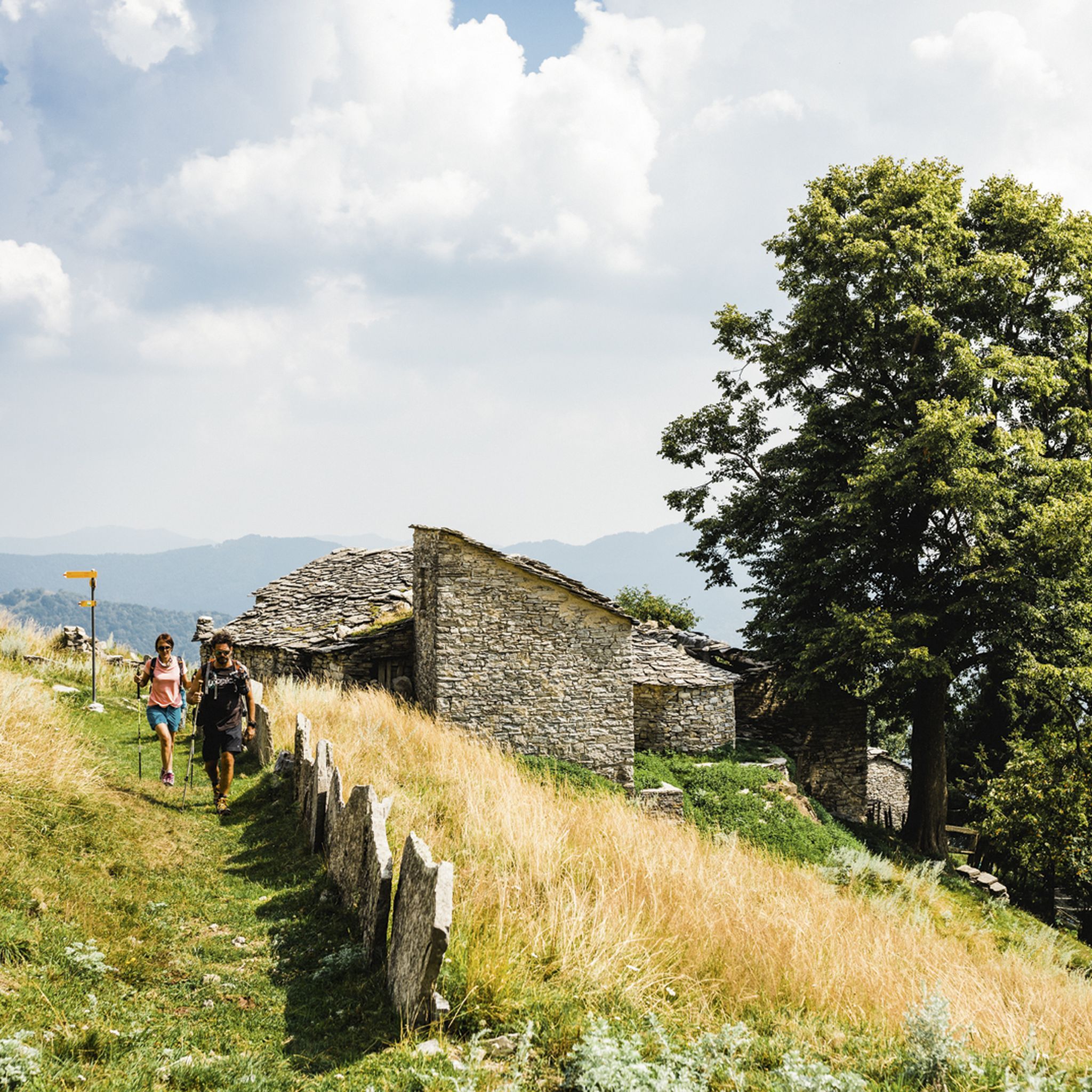
SAT Mendrisio connects it to a Celtic root, with the meaning of “bushy area” or “fenced area where livestock is kept”. It was precisely there, in the locality of Baraghetto, that Countess Carla Nobili Vitelleschi had the small house known as Cà dala mata or Casa della contessa built.
0
0

This junction is located on the path leading to the Riella refuge and Mount Palanzone
0
0
From Mount Generoso you can see Switzerland, Brianza, the Varese area and the mountains of Valsassina.
0
0
Beautiful 360° view
0
0
On the path to Mount Generoso
0
0
Italy-Switzerland border
0
0
We passed through Mount Generoso
0
0
From the top you can enjoy a 360° panorama of the Alps, the mountains of Valsassina, Lugano and the plain.
0
0
Frequently Asked Questions
How many mountaineering routes are available around Laglio?
There are 6 mountaineering routes around Laglio, offering a mix of moderate and difficult ascents. These routes provide diverse experiences across the region's limestone mountains and dense forests.
What are the difficulty levels of mountaineering routes in Laglio?
Mountaineering routes around Laglio are categorized as either moderate or difficult. There are 3 moderate routes and 3 difficult routes, catering to various skill levels and offering significant elevation changes.
Are there any circular mountaineering routes near Laglio?
Yes, several routes are circular. For a challenging experience, consider the Cima del Costone – Monte San Primo loop from Parco Monte San Primo. A moderate option is the Monte Costone – Monte Pasquella loop from Pigra, which offers views of the lake through forested slopes.
What kind of views can I expect on mountaineering routes around Laglio?
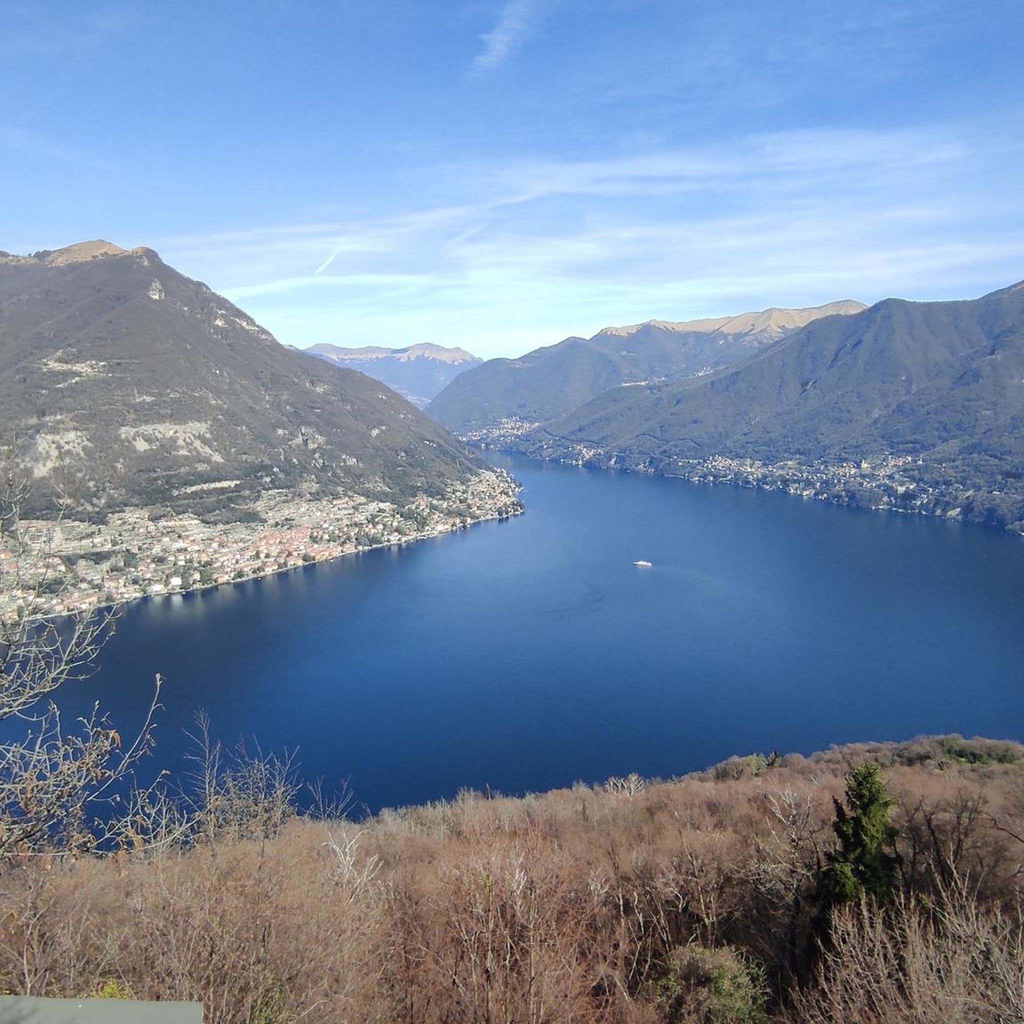
Mountaineering around Laglio offers stunning panoramic views of Lake Como, the surrounding Prealps, Alps, and Apennines. On clear days, you can even see the Po Valley and the Milanese area from higher peaks like Monte Generoso or Monte San Primo.
What are some notable natural features or landmarks to see while mountaineering in Laglio?
The region is characterized by rugged limestone mountains and dense forests. You can find prominent peaks like Monte San Primo Summit, the highest mountain in the Larian triangle, offering exceptional views. Monte Generoso also provides spectacular vistas of the main lakes and the entire Alpine range.
Are there any huts or refuges along the mountaineering trails?
Yes, there are several huts and refuges in the vicinity that can serve as resting points or destinations. Notable options include Capanna Mara, Rifugio Martina, and Orimento Hut.
What do other mountaineers say about the routes in Laglio?
The mountaineering routes in Laglio are highly rated by the komoot community, with an average score of 4.9 stars from more than 10 reviews. Users often praise the challenging terrain, the dramatic elevation changes, and the stunning panoramic lake views.
Are there any moderate mountaineering routes that are good for a shorter trip?
For a moderate route that is relatively shorter, consider the Faro Voltiano of Brunate loop from Como. This route is about 4.3 km and can be completed in under 2 hours, offering a rewarding experience without requiring a full day.
What is the best time of year for mountaineering in Laglio?
The region's pre-alpine terrain is generally best explored during spring, summer, and early autumn when the weather is more stable and trails are clear of snow. These seasons offer the best conditions for enjoying the panoramic views and diverse landscapes.
What kind of terrain should I expect on mountaineering routes near Laglio?
Expect rugged limestone mountains and dense forests. The terrain often involves significant elevation gains and can include rocky steps, especially on more challenging routes like those leading to Monte Colmegnone. Trails are varied, offering both forested paths and exposed mountain ridges.
Are there any routes that offer views of multiple lakes?
Yes, routes originating from or near Monte Generoso, such as the Bocchetta d'Orimento loop from Monte Generoso, provide spectacular views not only of Lake Como but also of Lake Lugano, the Po Valley, and the entire Alpine range on clear days.
Most popular attractions around Laglio

Get inspired with the komoot mobile app


Explore more
Browse the best Mountain Hikes & Routes in other regions.
