The best road cycling routes around Sallingberg
4.6
(21)
743
riders
86
rides
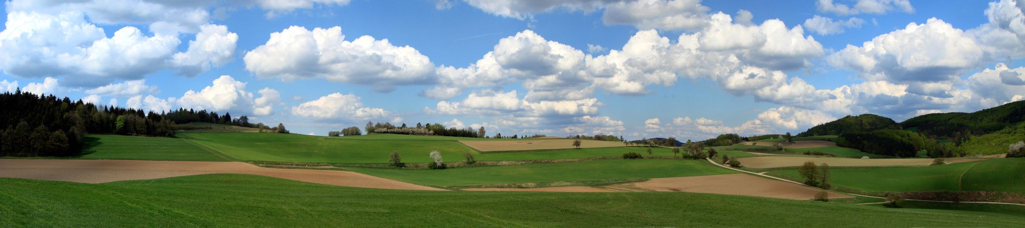
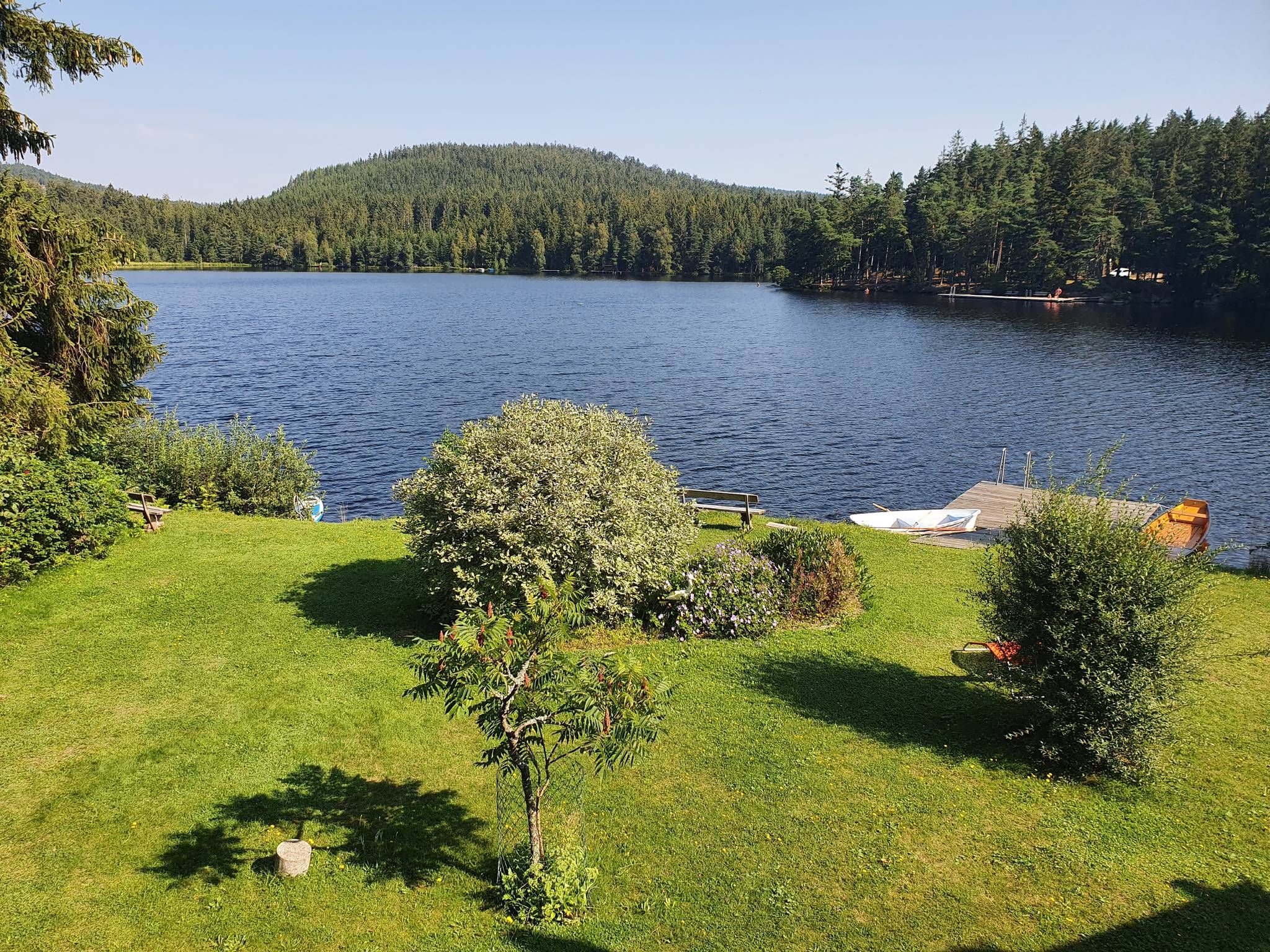
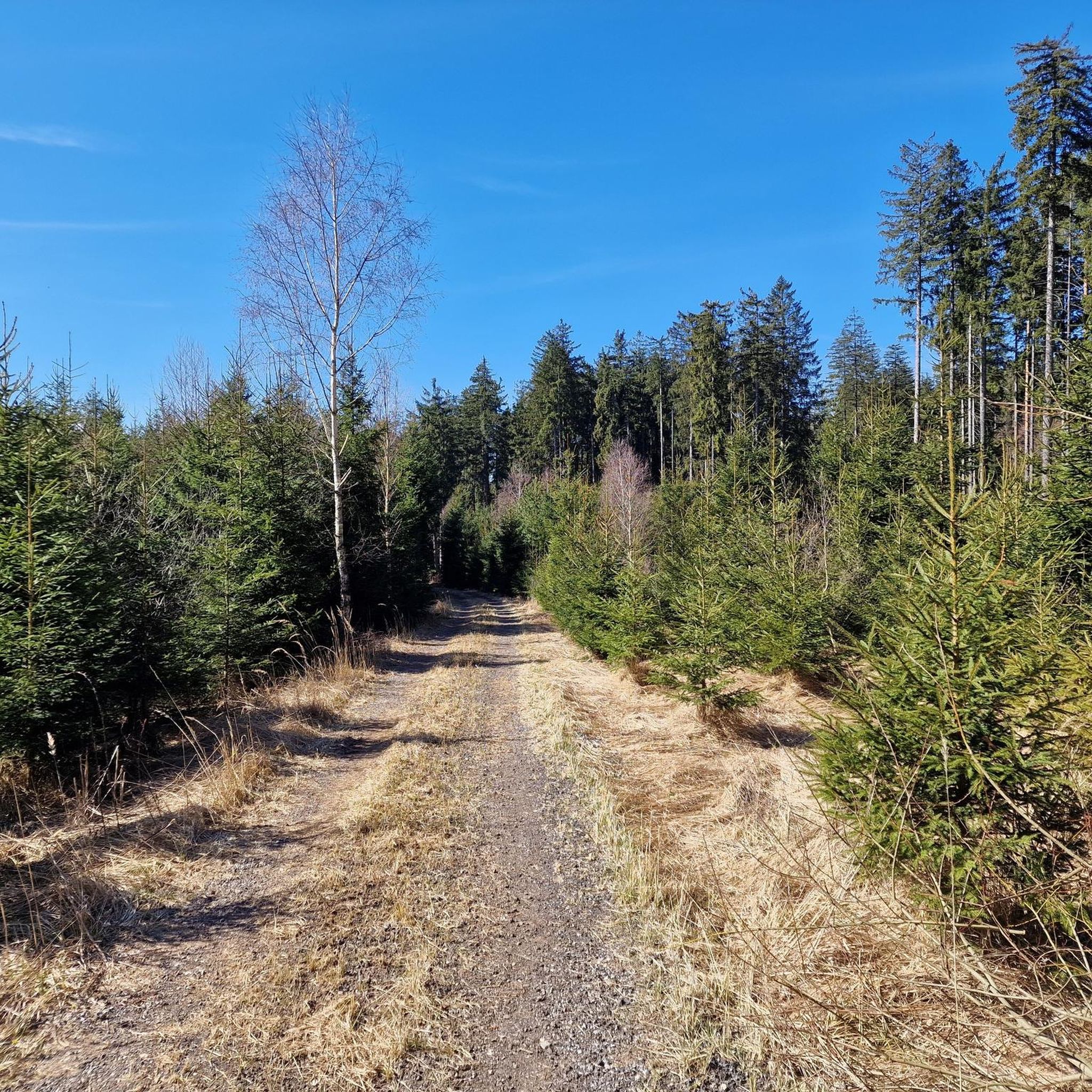
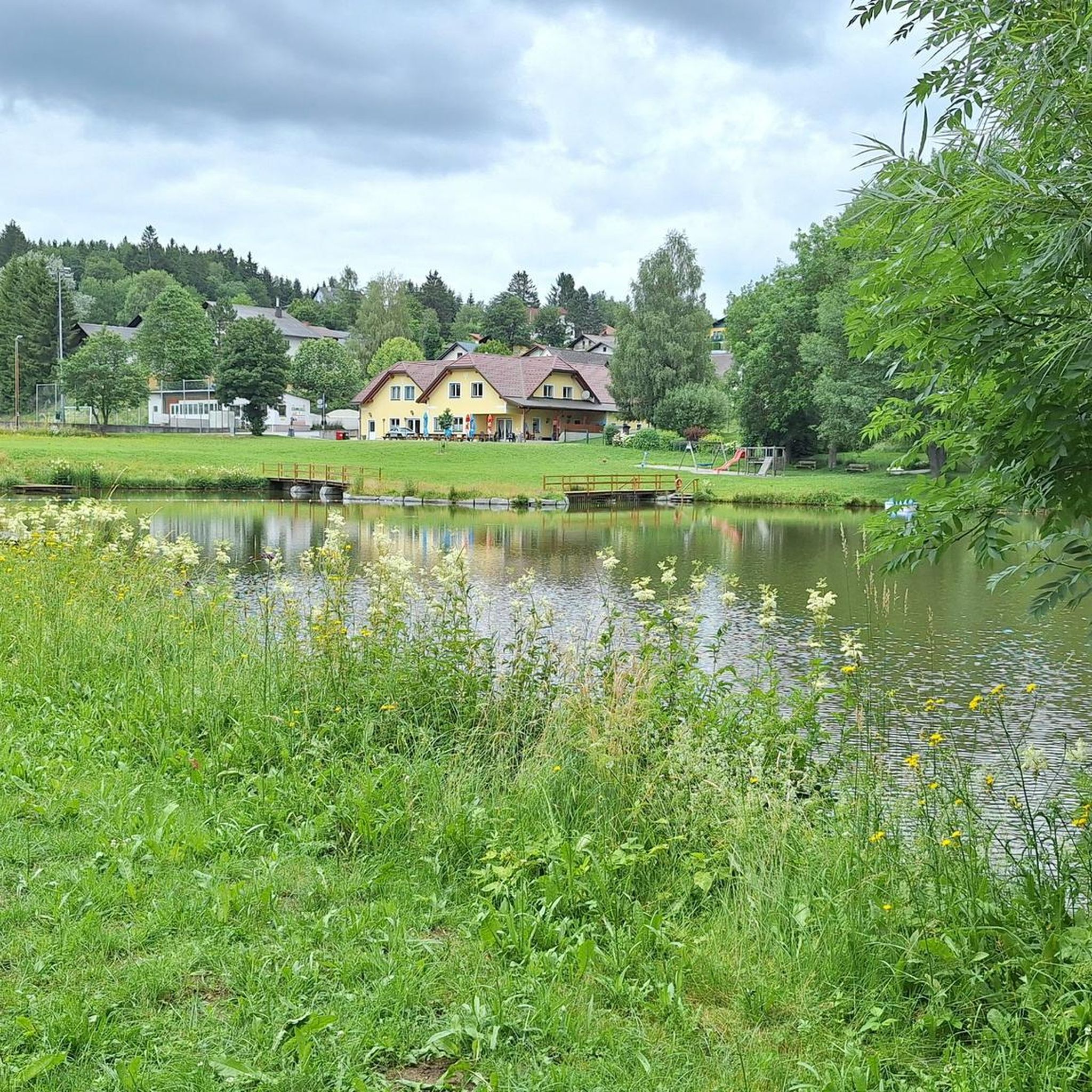
Road cycling routes around Sallingberg traverse a captivating landscape within the Waldviertel region, characterized by gently rolling hills, expansive meadows, and serene forests. The terrain offers a comfortable yet engaging experience, with varied scenery that includes tranquil ponds and the banks of the Große Krems river. Cyclists can expect to navigate a network of country lanes, providing a natural and less-trafficked environment for rides. This region is ideal for those seeking active relaxation amidst picturesque natural surroundings.
Best road cycling…
Last updated: July 2, 2026
6
riders
Moderate road ride. Good fitness required. Mostly well-paved surfaces and easy to ride.
17
riders
47.6km
02:29
840m
840m
Moderate road ride. Good fitness required. Some segments of this route may be unpaved and difficult to ride.

Sign up for free
6
riders
101km
04:52
1,440m
1,440m
Hard road ride. Very good fitness required. Mostly well-paved surfaces and easy to ride.
7
riders
Moderate road ride. Good fitness required. Mostly well-paved surfaces and easy to ride.
6
riders
36.2km
01:51
620m
620m
Moderate road ride. Good fitness required. Mostly well-paved surfaces and easy to ride.
Get access to more routes and recommendations from other explorers.
Sign up for free
Already have an account?
Our route recommendations are based on thousands of hikes, rides, and runs completed by other people on komoot.
Start today with a free account
Your next adventure awaits.
Login or Signup

Tips from the Community

Between Klosterstraße and Schulturm, the city wall is integrated as an outer wall into the St.Martin retirement home and can be viewed from the adjacent car park. Numerous new breakthroughs will be made during the construction work at the retirement home.
0
0
The school tower stands at the easternmost corner of the city wall. The tower's floor plan is polygonal (eight sides of different lengths). The tower is four stories high, with a descending floor without windows and three ascending ones. It is placed in front of the existing wall, which can be seen very clearly on the wide inner side and the connection corners. Access to the tower is via an opening in the city wall. On the 2nd upper floor, there is a bricked-up door, which presumably led to the rampart. The defensive tower was formerly called Hafnerturm, due to the neighboring Hafner workshops at Neuer Markt. It gets its current name from the citizens' school founded in 1872, the first in Lower Austria, which is located on the same plot and is now run as a New Middle School for Sport and Economy.
0
0

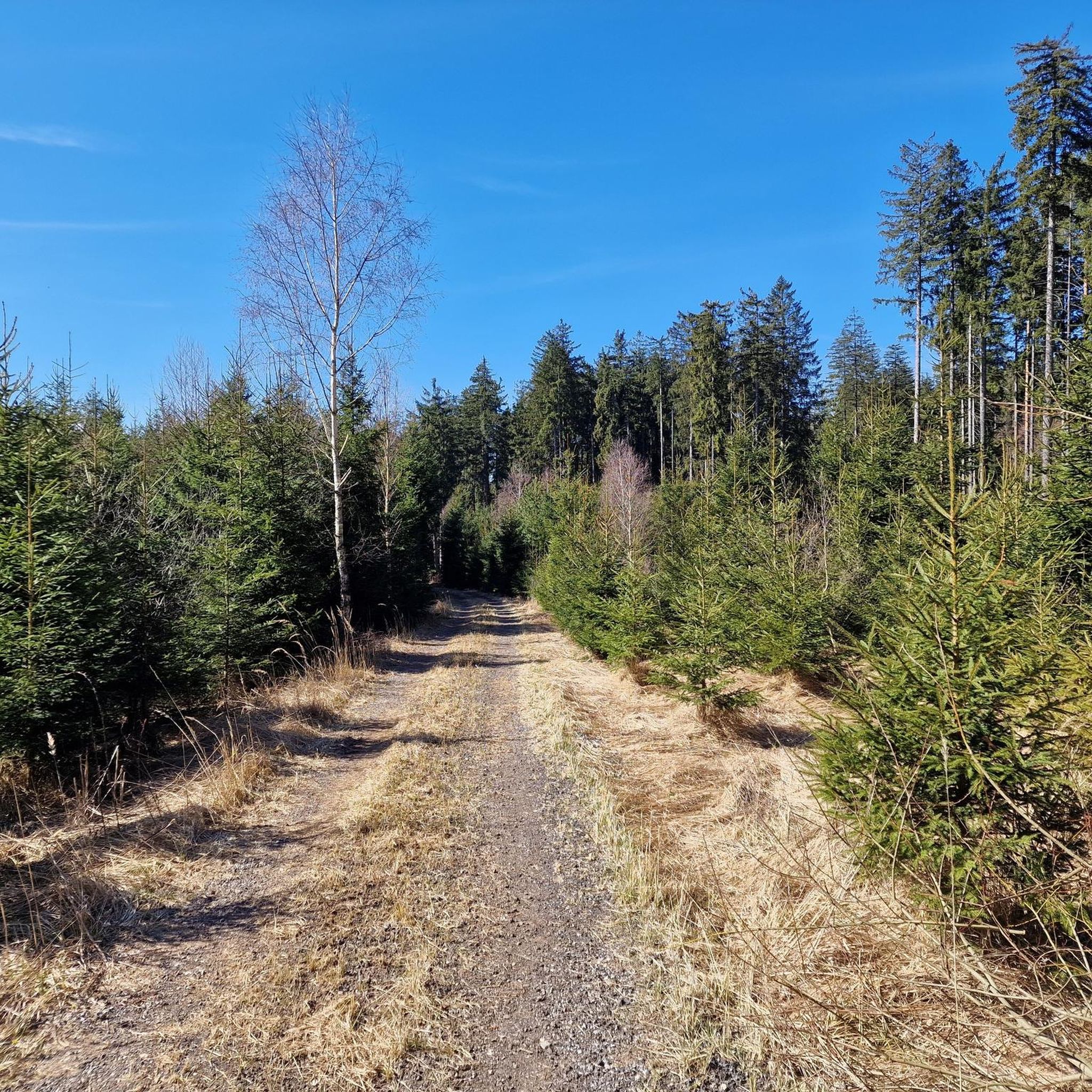
Otherwise only released for agricultural vehicles
0
0

Arbesbach Castle is a top highlight that you should definitely plan a visit to. Even from a distance, you can recognize the so-called "Waldviertel's fang" (Stockzahn des Waldviertels). Once you arrive at the site, 126 steps lead up to the entrance where admission (currently €2.50) is payable in coins or by card. Then it continues inside upwards to the platform, which offers a fantastic view. There is also a circular path around the tower, which however requires some surefootedness and suitable shoes.
0
0
The local authorities succeeded in persuading the master artist Hundertwasser to design and construct a fountain in the main square. The presentation of the fountain model met with both widespread approval and vehement opposition from the residents of Zwettl. In 1994, the fountain, consisting of three main elements—the two fountain columns with basins and the pavilion—was unveiled to the public. Since then, it has been a popular meeting place in the heart of the town. Friedensreich Hundertwasser died in February 2000 at the age of 71.
0
0
Until the end of the 19th century, a monumental fountain stood in the middle of the main square, the terminus of Zwettl's oldest water supply system, dating back to the early 17th century; a place where the population gathered, not just to fetch water. A war memorial was erected here in 1925, and from the mid-20th century onward, the square in the heart of the town was primarily used as a park. In the early 1990s, the municipality of Zwettl decided to redesign the main square. The aim was to give the town an attractive central point once again and thus preserve the tradition of the old Zwettl main square for the present and future. Friedensreich Hundertwasser, born Friedrich Stowasser in 1928, had owned an old mill on the banks of the Kamp River above Zwettl since the 1970s.
0
0
Originally, after the town's founding, Trinity Square was part of Zwettl's main square, which at that time stretched as an extensive triangular plaza from the townhouses behind the Hundertwasser Fountain to the level of the Hausleitner house above the "Zur Goldenen Rose" inn. The construction of houses along the lower Landstraße, the so-called "Grätzl," significantly narrowed the main square, and the addition of the cross street eventually divided it into two squares.
0
0
Frequently Asked Questions
How many road cycling routes are available around Sallingberg?
There are over 80 road cycling routes around Sallingberg, offering a wide range of options for different preferences and skill levels. The komoot community has explored 88 routes in total.
What kind of landscape can I expect while road cycling in Sallingberg?
Sallingberg, located in the Waldviertel region, offers a captivating landscape characterized by gently rolling hills, expansive meadows, and serene forests. You'll cycle through diverse scenery, past tranquil ponds, and alongside the Große Krems river. During the appropriate season, you might even encounter vibrant blooming poppy fields on country lanes.
What is the best time of year for road cycling in Sallingberg?
The best time for road cycling in Sallingberg is generally from spring through autumn. During these seasons, the weather is most favorable for enjoying the region's gently undulating landscape, lush meadows, and blooming poppy fields. The country lanes are typically clear, providing a pleasant and immersive experience.
Are there options for different skill levels among the road cycling routes?
Yes, Sallingberg offers road cycling routes suitable for various skill levels. While the majority are moderate (56 routes), there are also easier options (3 routes) for beginners and more challenging routes (29 routes) for experienced cyclists seeking greater elevation gain. For example, the Arbesbach Castle Ruins – Zwettl loop from Ottenschlag is a difficult route with significant elevation.
What do other cyclists say about the routes in Sallingberg?
The road cycling routes in Sallingberg are highly rated by the komoot community, with an average score of 4.6 stars from around 20 reviews. Cyclists often praise the region's diverse scenery, quiet country lanes, and the comfortable yet engaging experience provided by the gently rolling hills.
Are there any circular road cycling routes in Sallingberg?
Many of the road cycling routes around Sallingberg are designed as loops, allowing you to start and finish in the same location. Examples include the popular Pöggstall Castle – Burg Niederanna loop from Ottenschlag and the Robotstein Monument – Zwettl loop from Grafenschlag.
Where can I park my car when cycling in Sallingberg?
While specific parking areas for cyclists are not detailed, Sallingberg is a small community, and parking is generally available in or near the main villages where routes often start. Look for designated parking spots in towns like Ottenschlag or Grafenschlag, which are common starting points for many routes.
What interesting sights or landmarks can I see along the road cycling routes?
While cycling, you can discover various points of interest. Notable natural monuments include the Gudenus Cave and Franzosenstein. You might also encounter historical sites like Burg Rappottenstein. The routes often pass through picturesque villages and offer scenic viewpoints like Wachtstein.
Are there places to eat or relax after a ride in Sallingberg?
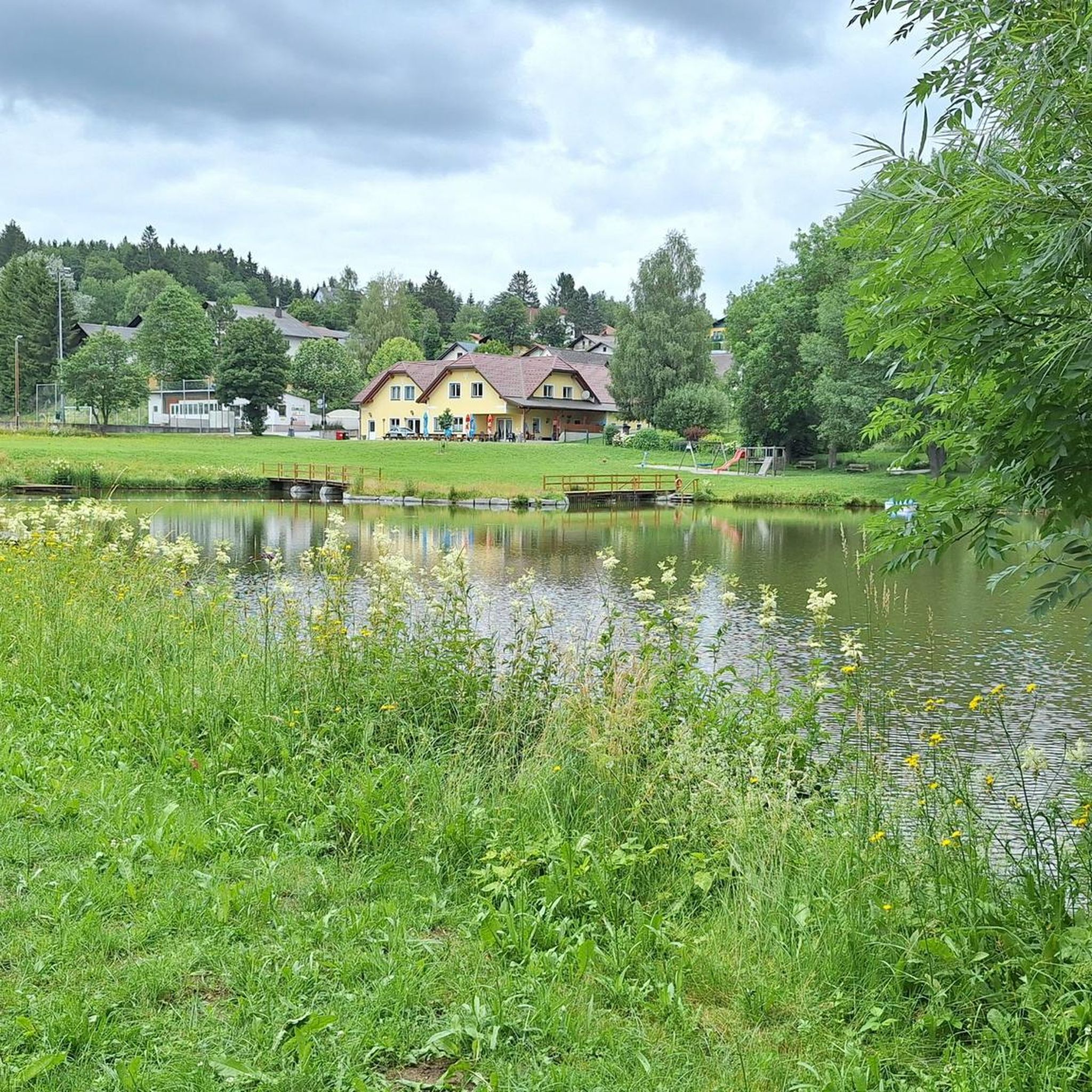
Yes, Sallingberg offers amenities where you can relax and refuel. The region has local eateries, such as the 'Teichstüberl,' where you can enjoy views. Additionally, Sallingberg features a leisure center with various sports facilities, providing options for unwinding after your ride. For more information on the leisure center, you can visit lower-austria.info.
Are there family-friendly road cycling routes in Sallingberg?
Sallingberg's gently rolling hills and quiet country lanes make it suitable for family cycling, especially for families with some cycling experience. While specific 'family-friendly' routes are not explicitly categorized, the easier and moderate routes, particularly those along the Große Krems river, offer a pleasant experience for families. Always check the route's elevation profile and distance to ensure it matches your family's capabilities.
Can I reach Sallingberg by public transport for cycling trips?
Public transport options to Sallingberg in the Waldviertel region may be limited, as it is a more rural area. It's advisable to research local bus schedules or regional train connections to nearby larger towns and plan your journey accordingly, considering how to transport your bicycle. Driving to Sallingberg and parking is often the most convenient option for cyclists.
Most popular routes around Sallingberg
Most popular attractions around Sallingberg

Get inspired with the komoot mobile app


Explore more
Browse the best Road cycling routes in other regions.
