The best mountain hikes around Sormano
4.8
(29)
223
hikers
5
hikes
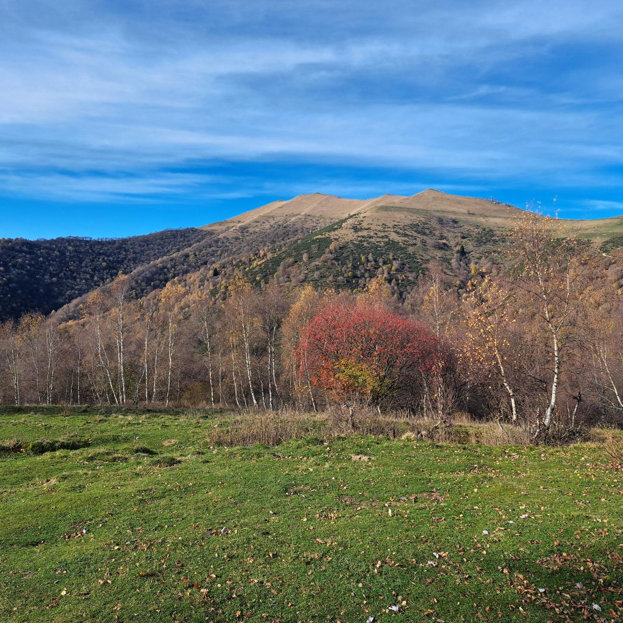
Mountaineering routes around Sormano are set within Italy's Triangolo Lariano, offering a compelling destination for outdoor enthusiasts. The region is characterized by significant elevation changes and panoramic vistas, providing a range of challenging ascents and diverse landscapes. Surrounded by peaks like Monte San Primo, Monte Ponciv, and Cima del Costone, the area features mountainous terrain with routes that often exceed 3,000 feet in elevation gain. Many trails offer expansive views of Lake Como, adding to the scenic appeal of the…
Last updated: October 8, 2026
5.0
(1)
5
hikers
11.9km
06:11
1,050m
1,050m
Hard mountaineering route. Very good fitness required. Sure-footedness, sturdy shoes and alpine experience required.
4.4
(5)
13
hikers
8.57km
03:38
650m
650m
Hard mountaineering route. Good fitness required. Sure-footedness, sturdy shoes and alpine experience required.

5
hikers
Hard mountaineering route. Very good fitness required. Sure-footedness, sturdy shoes and alpine experience required.
1
hikers
11.5km
03:27
340m
340m
Moderate mountaineering route. Good fitness required. Mostly accessible paths. Sure-footedness required.
4
hikers
6.14km
04:27
920m
920m
Hard mountaineering route. Very good fitness required. Sure-footedness, sturdy shoes and alpine experience required.
Our route recommendations are based on thousands of hikes, rides, and runs completed by other people on komoot.
Start today with a free account
Your next adventure awaits.
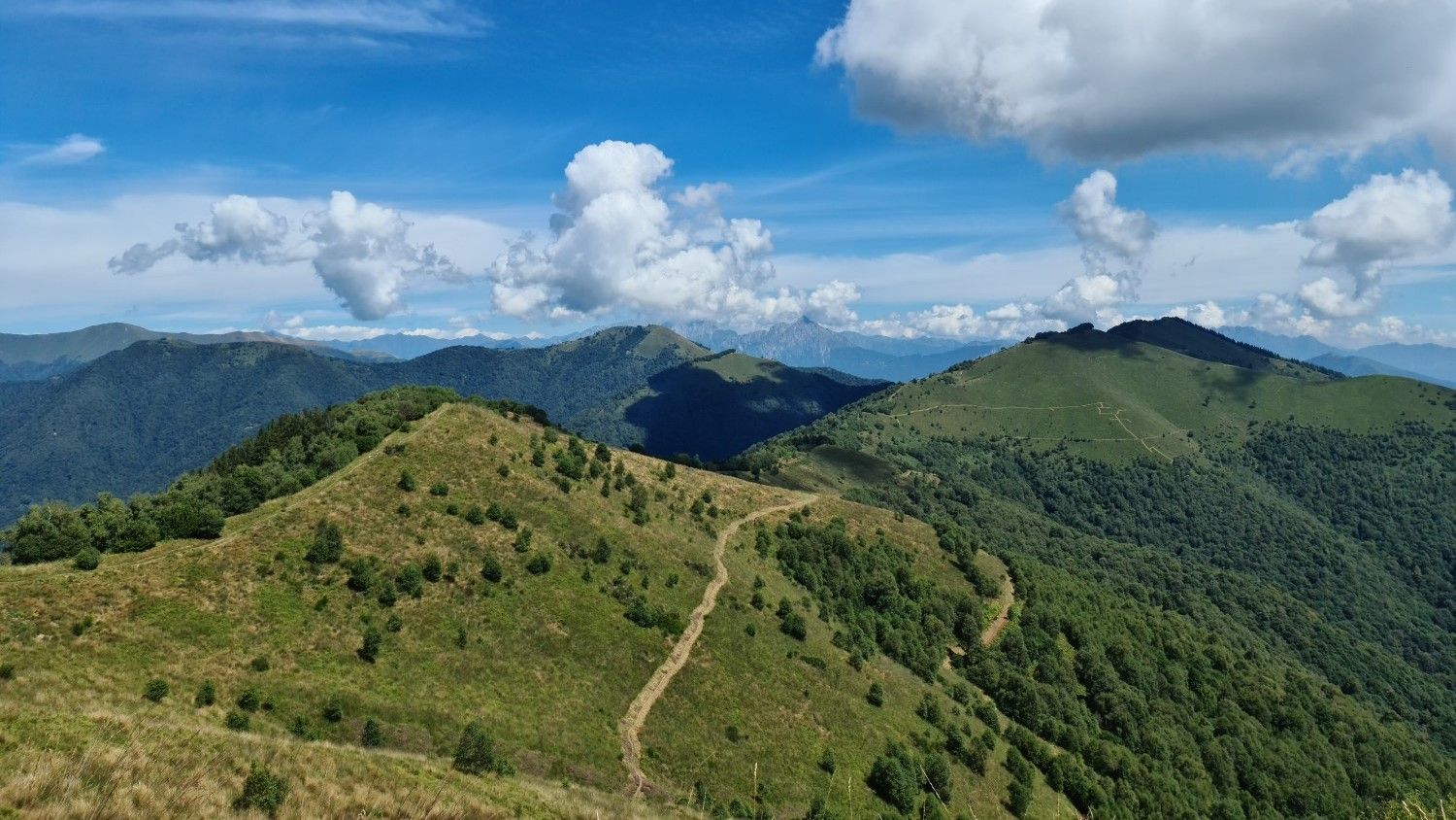
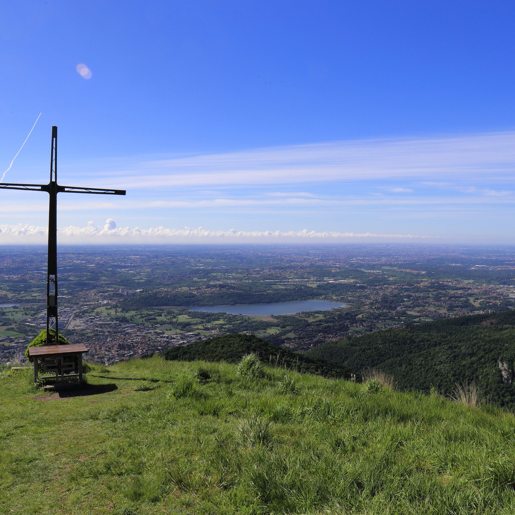
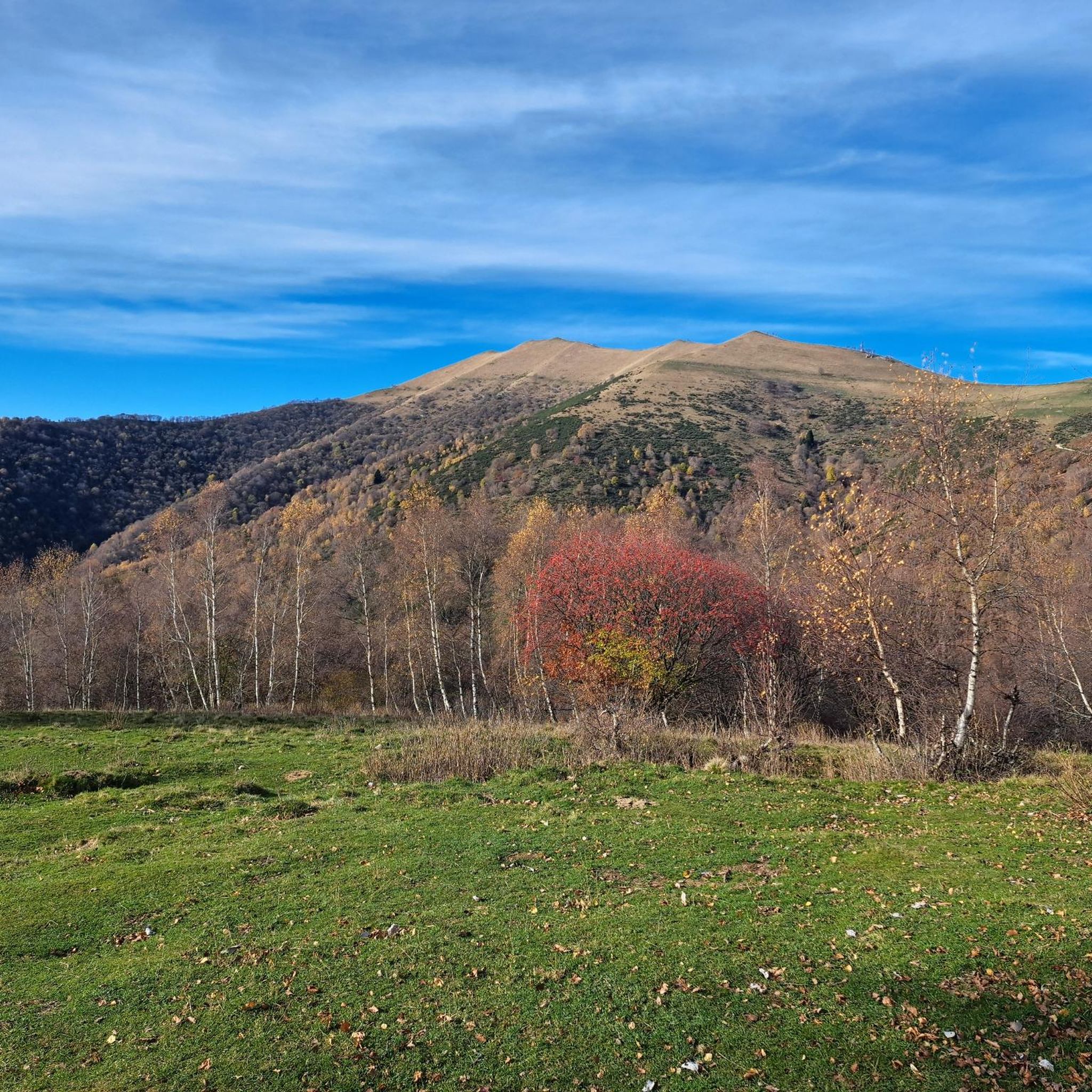
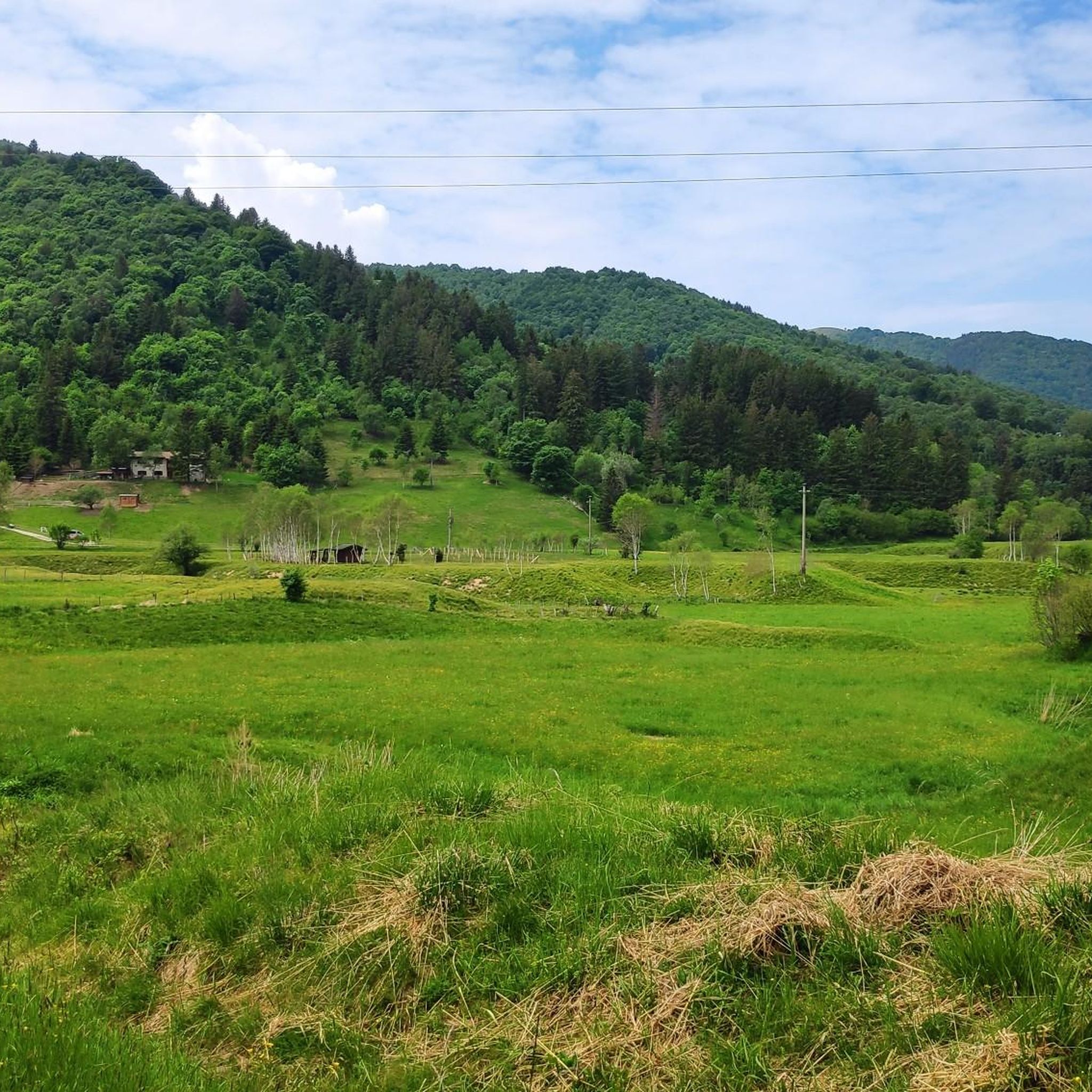


Other adventures around Sormano

Tips from the Community

This junction is located on the path leading to the Riella refuge and Mount Palanzone
0
0

Beautiful view of Lake Lecco with ample space for a picnic stop
0
0
A beautiful refuge overlooking Lake Como at the foot of the Corni di Canzo, managed by always kind and efficient volunteers, excellent cuisine.
0
0

The climb from Forcella dei Corni to Corno di Canzo Occidentale follows a section classified EE, with passages on rock and grass and some easy climbing sections; it requires a surefootedness and attention, especially in case of wet ground and rocks. Great place to admire the surrounding panorama.
0
0

Stunning peak, done many times, always nice to pass by here.
0
0
It is highly recommended to stop for a sip of fresh water.
0
0

A jewel overlooking the valley. A little corner of history
0
0

The Corno di Canzo Occidentale can be reached from the "normal" route coming from Terz'alpe; or from the SEV refuge. In both cases you will have to pass exposed sections and short free climbs/descents of II degree. Even going up from the 25th ferrata, you can reach the Cono di Canzo Occidentale
2
0
Frequently Asked Questions
How many mountaineering routes are available around Sormano?
Sormano offers a selection of 9 mountaineering routes. These range from moderate to difficult, providing diverse options for outdoor enthusiasts.
What are the difficulty levels of mountaineering routes in Sormano?
The routes around Sormano are primarily challenging, with 7 classified as difficult and 2 as moderate. There are no easy mountaineering routes in this guide, indicating a focus on more demanding ascents.
Are there any circular mountaineering routes in Sormano?
Yes, many of the mountaineering routes around Sormano are circular. For example, the Cima del Costone – Monte San Primo loop from Parco Monte San Primo is a difficult 4.7-mile loop, and the Mountaineering loop from Canzo offers a moderate 6.6-mile circular experience.
What kind of terrain can I expect on Sormano's mountaineering trails?
Mountaineering routes in Sormano feature significant elevation changes and mountainous terrain. You'll encounter diverse landscapes, often with challenging ascents and descents, providing expansive views of Lake Como and the surrounding pre-Alpine region.
What natural features or landmarks can I see while mountaineering near Sormano?
Many routes offer stunning views of Lake Como. You can also encounter significant peaks like Monte San Primo Summit, the highest mountain in the Larian Triangle, and the Summit cross of Monte Cornizzolo. Other points of interest include the San Pietro al Monte Abbey and various gorges like the Nesso Gorge.
Are there any specific viewpoints offering panoramic views of Lake Como?
Absolutely. Sormano is strategically located to offer breathtaking panoramic views of Lake Como. The summit of Monte San Primo is a prime spot, providing expansive vistas that, on clear days, extend across the Po Valley. Monte Cornizzolo also offers excellent views of multiple lakes, including the Lecco side of Lake Como.
Is there parking available near the trailheads in Sormano?
Yes, areas like Colma di Sormano are popular starting points for various hiking and cycling routes, and typically offer parking facilities. It's advisable to check specific route descriptions for detailed parking information.
Can I reach Sormano's mountaineering routes by public transport?
While Sormano is accessible, public transport options might be limited for reaching specific trailheads directly. Planning your journey in advance and checking local bus schedules is recommended, especially if starting points are in more remote areas like Canzo or Valbrona.
Are there any family-friendly mountaineering options in Sormano?
The mountaineering routes in this guide are generally rated as moderate to difficult, suggesting they are better suited for experienced hikers and mountaineers. For families, it might be better to look for easier hiking trails in the broader Lake Como region rather than the specific mountaineering routes listed here.
Are dogs allowed on the mountaineering trails around Sormano?
Many trails in the Lombardy region are dog-friendly, but regulations can vary. It's generally recommended to keep dogs on a leash, especially in protected areas or near livestock. Always check local signage or specific route details for any restrictions.
Where can I find refreshments or places to eat near the mountaineering routes?
Sormano and nearby towns like Canzo offer cafes and restaurants. Additionally, mountain refuges like Capanna Mara (a highlight near Monte San Primo) can provide amenities and refreshments during longer excursions.
What do other mountaineers enjoy most about the routes in Sormano?
The mountaineering routes in Sormano are highly rated by the komoot community, with an average score of 4.5 stars from over 30 reviews. Mountaineers often praise the significant elevation gains, challenging ascents, and the rewarding panoramic views of Lake Como and the surrounding pre-Alpine terrain.
Is the Muro di Sormano relevant for mountaineers?
While the Muro di Sormano is a legendary and extremely challenging cycling climb, it's not a mountaineering route in the traditional sense. However, its proximity highlights the region's steep terrain and draws athletes from around the world. You can learn more about its history on Wikipedia.
Most popular routes around Sormano
Most popular attractions around Sormano

Get inspired with the komoot mobile app


Explore more
Browse the best Mountain Hikes & Routes in other regions.
