The best running trails around Ponte Lambro
4.3
(208)
9,118
runners
256
runs
Jogging around Ponte Lambro offers diverse terrain within Lombardy, nestled between Como and Lecco. The region is characterized by mountainous surroundings, including peaks like Monte San Primo, extensive forest trails through the Triangolo Lariano, and scenic paths along the Lambro River and lakes such as Lake Pusiano. This varied landscape provides options ranging from challenging mountain ascents to more gentle, picturesque running routes.
Best jogging routes around Ponte Lambro
- The most popular jogging route is Monte Puscio – loop run…
Last updated: August 30, 2026
4
runners
8.86km
01:42
720m
730m
Hard run. Very good fitness required. Sure-footedness, sturdy shoes and alpine experience required.
49
runners
9.24km
01:00
30m
30m
Moderate run. Good fitness required. Mostly paved surfaces. Suitable for all skill levels.

Sign up for free
5.0
(1)
43
runners
12.4km
01:20
170m
170m
Moderate run. Good fitness required. Mostly paved surfaces. Suitable for all skill levels.
19
runners
12.8km
01:52
570m
570m
Hard run. Very good fitness required. Sure-footedness, sturdy shoes and alpine experience required.
3.0
(1)
17
runners
44.7km
07:01
2,240m
2,240m
Hard run. Very good fitness required. Sure-footedness, sturdy shoes and alpine experience required.
Get access to more routes and recommendations from other explorers.
Sign up for free
Already have an account?
Our route recommendations are based on thousands of hikes, rides, and runs completed by other people on komoot.
Start today with a free account
Your next adventure awaits.
Login or Signup


Tips from the Community

Downhill it's quite simple, uphill there are several steep sections, steps, or with a large gradient. I like it as an alternative to the asphalt road to get up to the alpine pasture, I always have to put in a lot of effort and experience to go up without assistance.
0
0

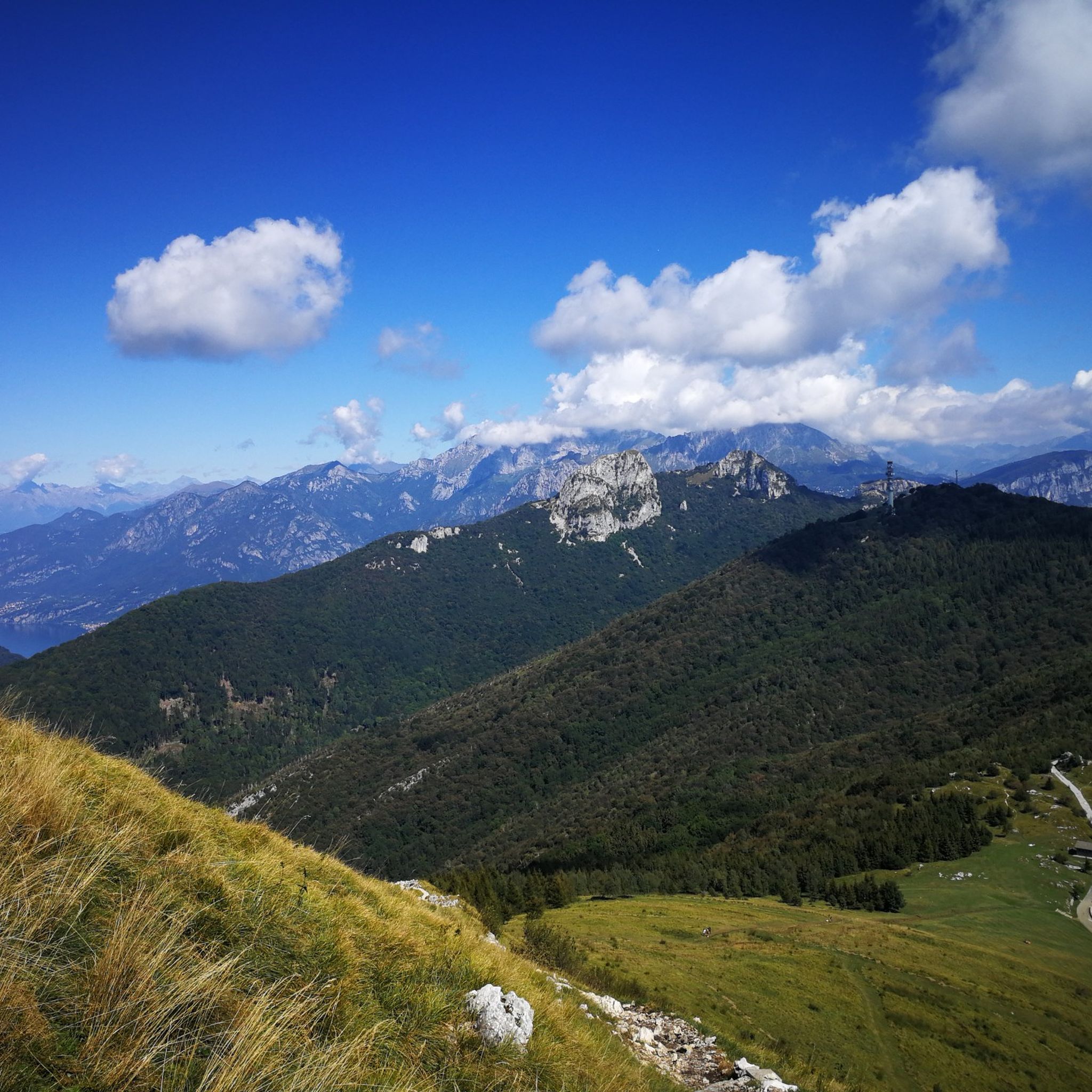
The scenic trail between Capanna Mara and the summit of Monte Bollettone (also known as Sentiero delle Colme) is one of the most spectacular and frequented sections of the Larian Triangle. Walking along this grassy ridge, you can enjoy an exceptional view that simultaneously spans the lakes of Brianza to the south and Lake Como with the Grigne and Resegone to the north.
0
0
From the center of Como, take the funicular to the hamlet of San Maurizio, a small village that enjoys a fantastic view of Lake Como, and reach the Voltiano lighthouse, which offers a further panorama of the lake. Continue on an easy path towards Monte Boletto. It is a succession of small mountain huts overlooking the lake. The most beautiful is certainly the one closest to the summit, the Baita Boletto Fabrizio, with fewer people, cheaper, and with a beautiful sunny clearing from which to admire the panorama towards the Larian Triangle.
1
0
From the center of Como, take the funicular to the hamlet of San Maurizio, a small village that enjoys a fantastic view of Lake Como, and you will reach the Voltiano lighthouse, which offers a further panorama of the lake. Continue on an easy path towards Monte Boletto. It is a succession of small mountain huts overlooking the lake. The most beautiful is certainly the one closest to the summit, the Baita Boletto Fabrizio, with fewer people, cheaper, and with a beautiful sunny clearing from which to admire the panorama towards the Larian Triangle.
1
0

great for walks and quiet little trips
0
0

benches, water fountain and notice boards with interesting explanations
0
0

Beautiful View of Lake Como
1
0

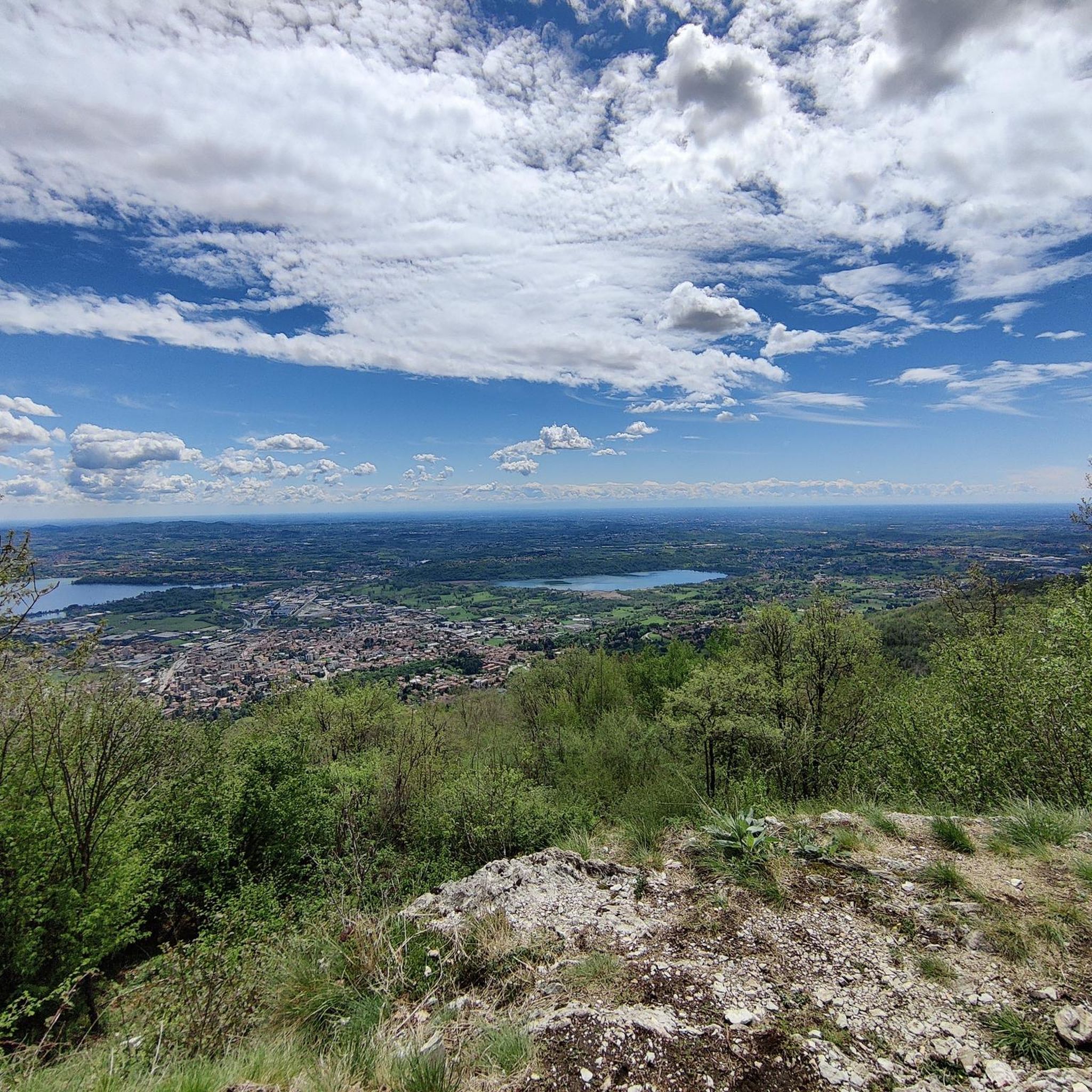
Very nice place, since I passed by there very early the refuge was closed but 50m away there is an ultra-panoramic clearing
1
0
Frequently Asked Questions
How many running routes are available around Ponte Lambro?
Komoot offers over 240 diverse running routes around Ponte Lambro. These range from easy paths to challenging mountain trails, catering to various fitness levels and preferences.
What kind of terrain can I expect on the jogging routes in Ponte Lambro?
The region offers a rich variety of terrain. You'll find challenging mountainous ascents, extensive forest trails through the Triangolo Lariano, and picturesque paths along the Lambro River and lakes like Lake Pusiano. This diverse landscape provides options for both demanding trail runs and more moderate jogging routes.
Are there any easy or beginner-friendly running routes in Ponte Lambro?
Yes, among the many routes, there are 15 classified as easy, perfect for beginners or those looking for a more relaxed run. These typically feature less elevation gain and smoother paths, often found along the scenic lake and river banks.
What are some challenging running trails for experienced runners?
For experienced runners seeking a challenge, Ponte Lambro offers 126 difficult routes. Examples include the demanding Monte Puscio – loop run, which covers 5.5 miles (8.9 km) with significant elevation, or the even longer Rifugio Capanna Mara – Monte Puscio loop from Erba, a 7.9-mile (12.8 km) path known for its demanding climbs and rewarding views.
Can I find running routes with scenic viewpoints in the Ponte Lambro area?
Absolutely. Many routes in Ponte Lambro lead to stunning viewpoints. For instance, trails ascending peaks like Monte San Primo and Monte Cornizzolo offer breathtaking panoramic vistas of Lake Como, the Po Valley, and the Milanese area on clear days. Forest trails in the Triangolo Lariano also lead to mountain refuges with expansive views of Lake Como and the Brianza lakes.
Are there any notable landmarks or attractions along the running trails?
Yes, several routes pass by interesting landmarks. You might encounter mountain huts like Capanna Mara, or reach significant summits such as the Summit cross of Monte Cornizzolo or Monte San Primo Summit, which offer incredible views. Some trails may also lead near cultural sites like San Pietro al Monte Abbey.
What do other runners say about the trails in Ponte Lambro?
The running routes in Ponte Lambro are highly regarded by the komoot community, boasting an average rating of 4.2 stars from over 260 reviews. Runners often praise the diverse landscapes, from challenging mountain paths to serene lakeside jogs, and the stunning panoramic views encountered along the way.
Are there any circular running routes available?
Yes, many of the running routes in Ponte Lambro are designed as loops, allowing you to start and finish in the same location. A popular example is the La Salute – Alpe del Viceré loop from Erba, an 8.0-mile (12.9 km) trail through varied terrain.
Is there a specific time of year that is best for running in Ponte Lambro?
The extensive forest trails through the Triangolo Lariano provide shaded routes, making them ideal for jogging during warmer months. For mountain ascents and panoramic views, clear days are best, which can occur throughout spring, summer, and autumn. Winter running is possible but may require checking trail conditions, especially at higher elevations.
Are the running trails in Ponte Lambro suitable for families or dog-friendly?
While specific routes vary, the region's diverse trail system includes paths suitable for various skill levels. Generally, the easier, more accessible paths along lakes and rivers are more family-friendly. For dog owners, many natural trails are suitable, but it's always advisable to check local regulations regarding dogs on specific paths or in protected areas.
What is the average elevation gain on running routes in Ponte Lambro?
The elevation gain varies significantly depending on the route's difficulty. For instance, a difficult route like the Monte Puscio – loop run involves over 720 meters of ascent, while easier routes along the water will have minimal elevation changes.
Are there any running routes that pass by mountain refuges or places to stop for refreshments?
Yes, some of the longer and more challenging routes, particularly those in the mountainous areas, lead to mountain refuges. For example, the Rifugio Capanna Mara – Monte Puscio loop from Erba passes by Capanna Mara, offering a potential stop for rest and refreshments amidst stunning views.
Most popular routes around Ponte Lambro
Most popular attractions around Ponte Lambro

Get inspired with the komoot mobile app


Explore more
Browse the best Running Trails & Routes in other regions.
