The best mountain hikes around Griante
4.8
(7)
78
hikers
6
hikes
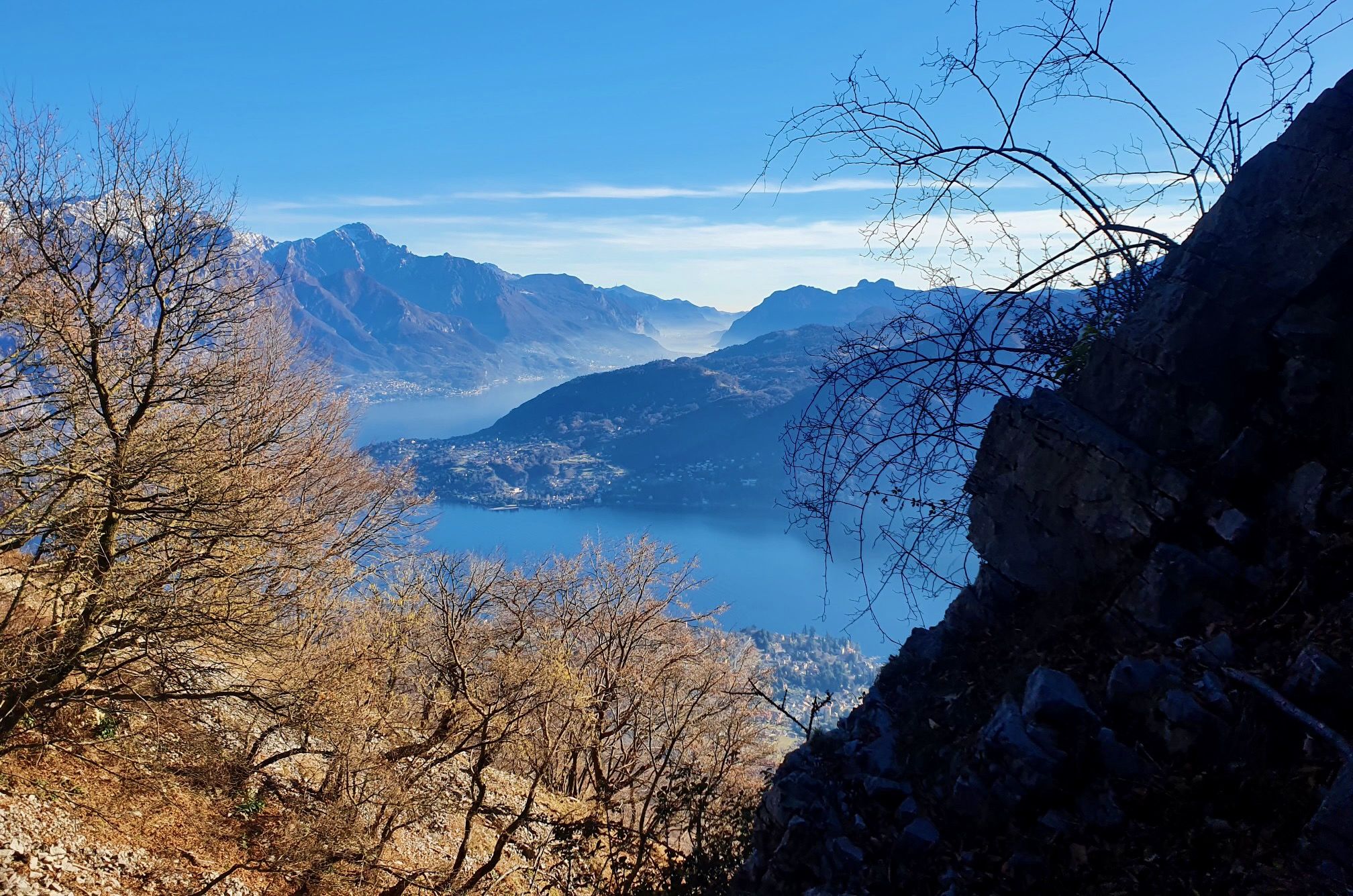
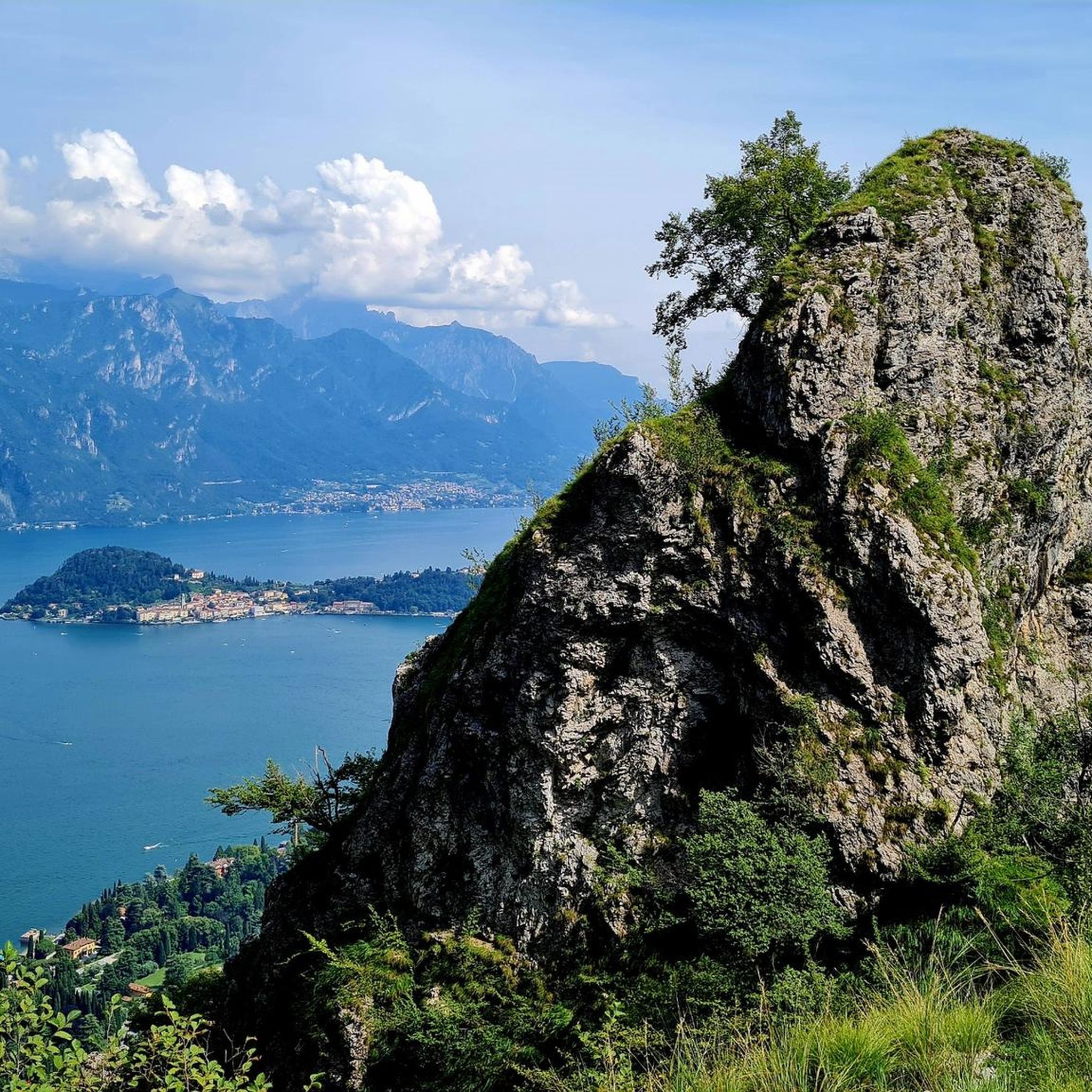
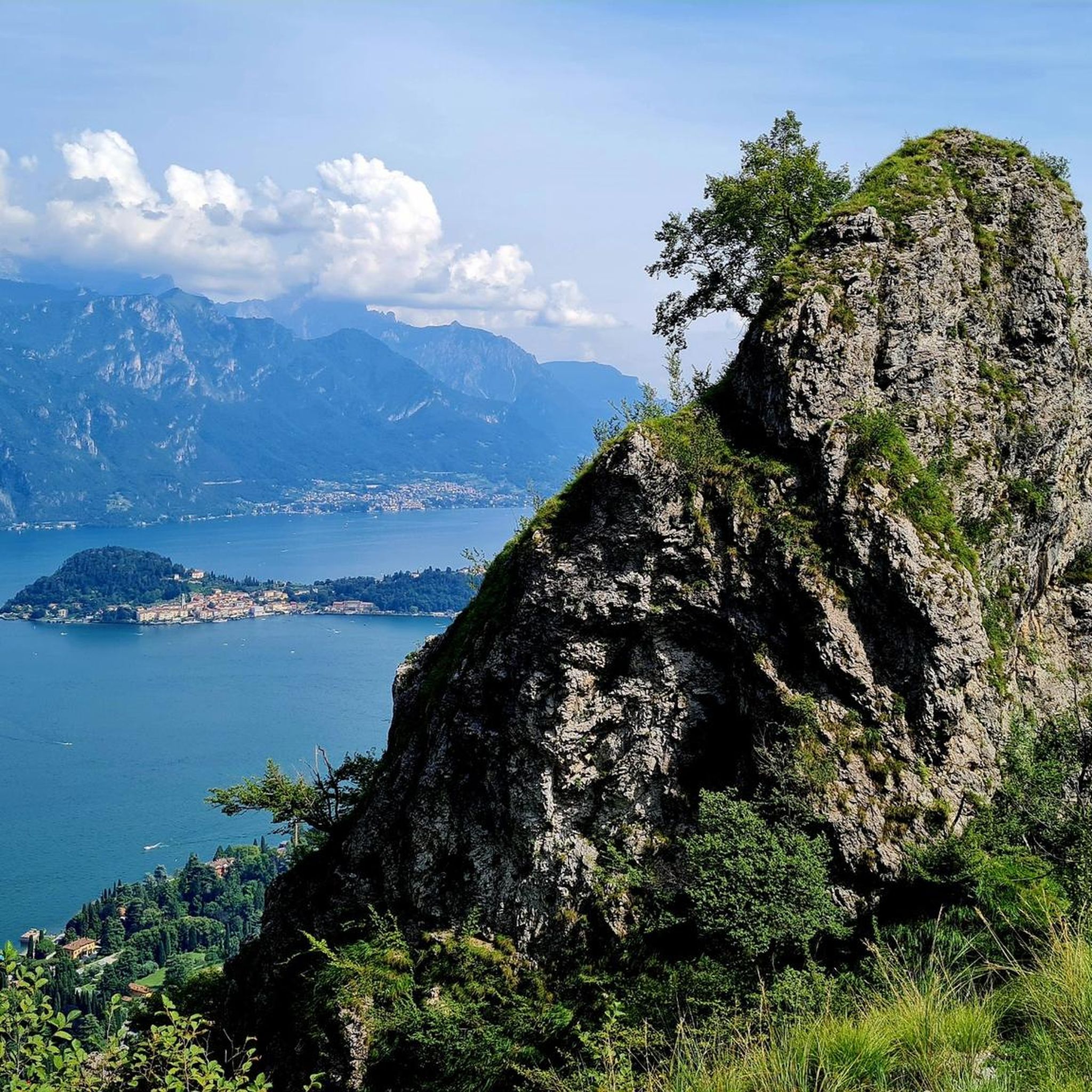
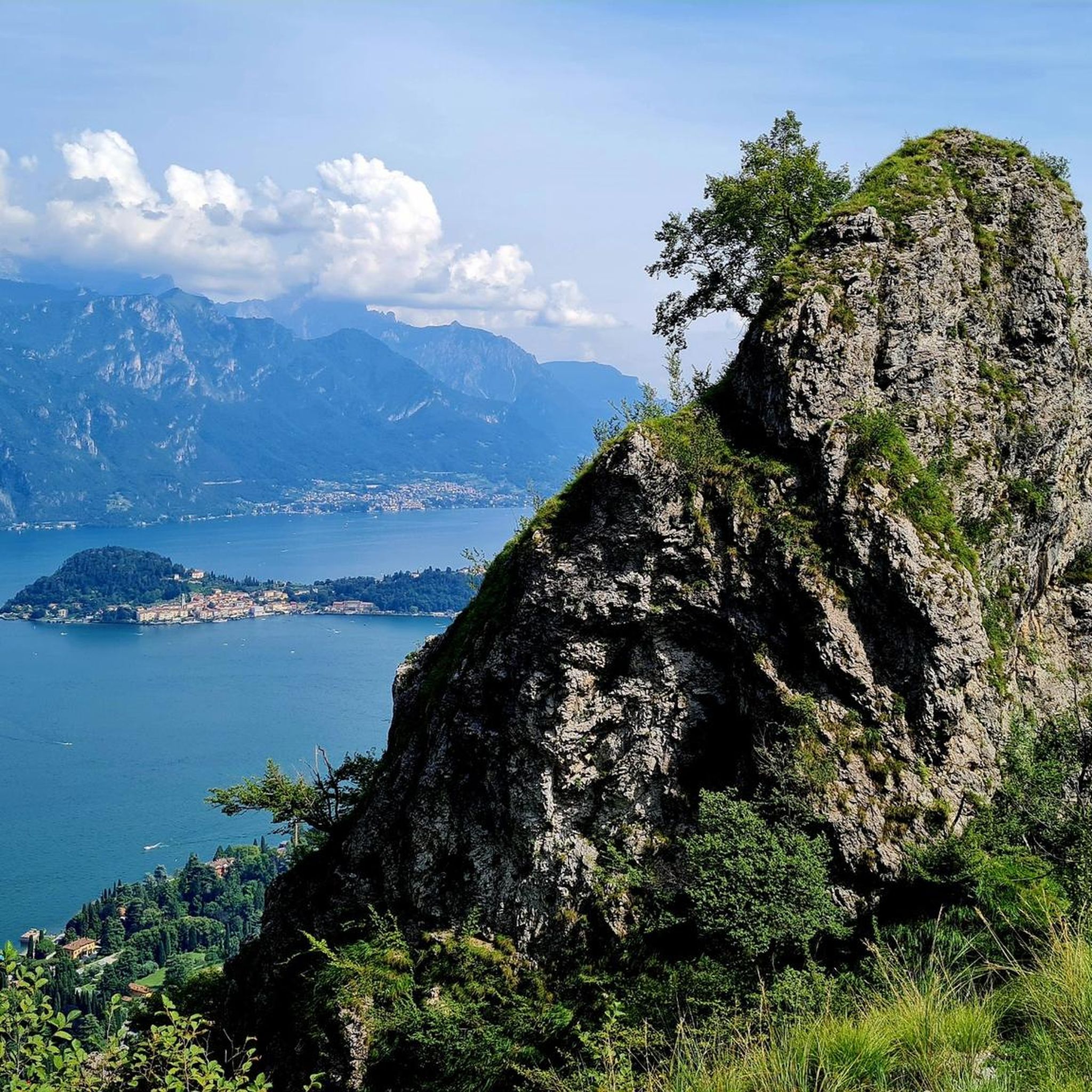
Mountaineering around Griante offers diverse terrain with panoramic views of Lake Como, framed by the Italian and Swiss Alps. The region is characterized by the dramatic Grigne Dolomite range, featuring rugged calcareous rock formations and significant elevation changes. Alpine pastures like Monti di Nava provide scenic paths, while natural canyons and waterfalls add to the varied landscape.
Best mountaineering routes around Griante
- The most popular mountaineering route is Panoramic Trail to Monte Grona – Monte Grona Summit View loop from…
Last updated: May 24, 2026
4.5
(4)
41
hikers
12.6km
07:32
1,030m
1,030m
Hard mountaineering route. Very good fitness required. Sure-footedness, sturdy shoes and alpine experience required.
8
hikers
6.84km
02:23
150m
150m
Hard mountaineering route. Good fitness required. Sure-footedness, sturdy shoes and alpine experience required.

Sign up for free
5.0
(1)
4
hikers
6.07km
02:22
410m
410m
Moderate mountaineering route. Good fitness required. Mostly accessible paths. Sure-footedness required.
5.0
(2)
5
hikers
9.20km
03:41
570m
570m
Moderate mountaineering route. Good fitness required. Mostly accessible paths. Sure-footedness required.
5
hikers
Hard mountaineering route. Very good fitness required. Sure-footedness, sturdy shoes and alpine experience required.
Our route recommendations are based on thousands of hikes, rides, and runs completed by other people on komoot.
Start today with a free account
Your next adventure awaits.
Login or Signup

Other adventures around Griante

Tips from the Community

Beautiful view that you admire on the trail
0
0
Another junction found when going to the Bietti refuge
0
0
Great refuge, this year I found it closed due to a change in management. In November 2024, I ate a fantastic braised meat with polenta.
0
0
We passed by descending from the northern Grigna, beautiful as always
0
0

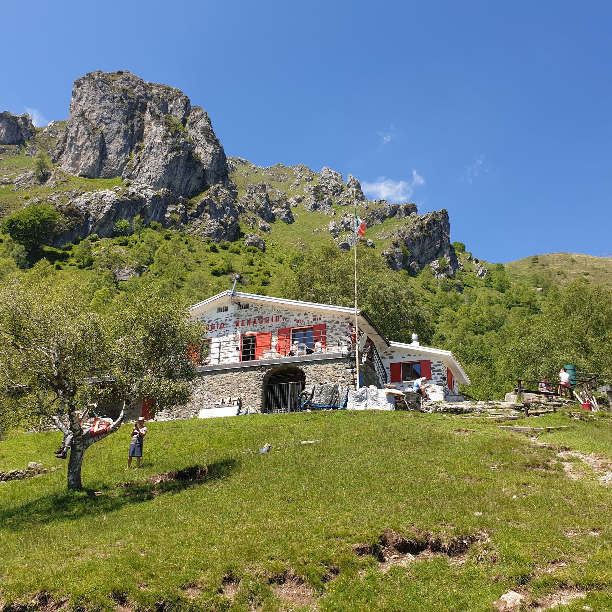
A refuge located in the heart of the northern Grigna, also known as Grignone. The refuge is an ideal stopover for those wishing to reach the Brioschi refuge, at the summit of Grignone, or for other itineraries in the heart of Grigna, such as the via ferrata or the Elisa refuge. To reach it, you pass through the famous Porta di Prada, an iconic passage that makes the hike even more evocative. At the same time, the refuge is a perfect destination for a more tranquil hike: here you can enjoy the refuge's excellent cuisine and enjoy the breathtaking views from its panoramic location, complete with a large lawn where you can relax and unwind.
0
0
This refuge is popular mainly for the ascent to the Brioschi refuge, starting from Cainallo via the well-trodden "Via della Ganda" (remember that parking is paid and must be paid at the machine five minutes from the parking lot). The food is excellent, and the climb to the refuge is classified as a hike and presents no particular difficulty. However, for those wishing to climb to the summit of Grignone, it's important to remember that, being on the north side, snow remains on the route until late spring.
0
0

Ideal observation point towards the towers called "Il Frate" (the highest) and "La Monaca".
0
0

I don't know what to call it, but it's very helpful in giving you insight into the many surrounding areas. Very nice!
0
0
Frequently Asked Questions
How many mountaineering routes are available around Griante?
There are 9 mountaineering routes around Griante, offering diverse terrain and panoramic views of Lake Como. These routes are highly rated by the komoot community, with an average score of 4.8 stars.
What is the best time of year for mountaineering in Griante?
Mountaineering in Griante is best enjoyed between April and November. During these months, the weather is generally favorable, allowing for safe and pleasant exploration of the trails and the stunning natural features like the Grigna Massif and the 'Riviera of the Azaleas'.
What are the typical difficulty levels for mountaineering routes in Griante?
The majority of mountaineering routes in Griante are considered difficult, with 7 out of 9 routes falling into this category. These trails often involve significant elevation changes and rugged terrain, requiring good fitness and sure-footedness. There are also 2 moderate routes available for those seeking a less strenuous experience.
Which mountaineering routes offer the most challenging ascents in Griante?
For a challenging ascent, consider the Bocchetta di Prada (1,625 m) – Prada Gate loop from Parco Regionale della Grigna Settentrionale. This difficult 12.6 km path ascends through alpine landscapes to a notable mountain pass, offering over 1000 meters of elevation gain. Another demanding option is the Monte Grona Summit View – Panoramic Trail to Monte Grona loop from San Siro, which covers 14.5 km with nearly 1200 meters of ascent.
Are there any circular mountaineering routes around Griante?
Yes, many of the mountaineering routes around Griante are designed as loops, allowing you to start and finish at the same point. Examples include the popular Panoramic Trail to Monte Grona – Monte Grona Summit View loop from Plesio and the Cima del Costone – Monte San Primo loop from Parco Monte San Primo.
What kind of views can I expect on the mountaineering routes?
Mountaineering routes around Griante consistently offer breathtaking panoramic views. You'll experience stunning vistas of Lake Como, the Bellagio promontory, and the dramatic Italian and Swiss Alps. The rugged calcareous rock formations of the Grigna Massif also provide a unique and dramatic natural backdrop.
Are there any natural landmarks or attractions to see along the routes?
Yes, the region boasts several natural landmarks. The Prada Gate is a notable natural monument you might encounter. Additionally, the Monte San Primo Summit offers expansive views, and the Bellano Gorge is a spectacular natural feature in the wider area.
What do other mountaineers enjoy the most about mountaineering in Griante?
The area is highly rated by the komoot community, with an average score of 4.8 stars from over 50 reviews. Reviewers often praise the stunning panoramic views of Lake Como and the surrounding Alps, the challenging yet rewarding ascents, and the diverse natural landscapes, including the dramatic Grigne Dolomite range.
Are there any routes that lead to mountain refuges?
Yes, you can find routes that lead to mountain refuges. For example, the Rifugio Venini – Hike to Rifugio Venini loop from Alpe di Colonno is a difficult 19 km route that takes you to Rifugio Venini, offering a more extensive mountain experience.
What are the typical durations for mountaineering routes in Griante?
The duration of mountaineering routes in Griante varies depending on the distance and difficulty. For instance, the Panoramic Trail to Monte Grona – Monte Grona Summit View loop from Plesio typically takes around 5 hours and 12 minutes, while the Bocchetta di Prada (1,625 m) – Prada Gate loop from Parco Regionale della Grigna Settentrionale can take over 7 hours.
Most popular routes around Griante
Most popular attractions around Griante

Get inspired with the komoot mobile app


Explore more
Browse the best Mountain Hikes & Routes in other regions.
