The best walks and hikes around Mortara
4.6
(343)
946
hikers
60
hikes
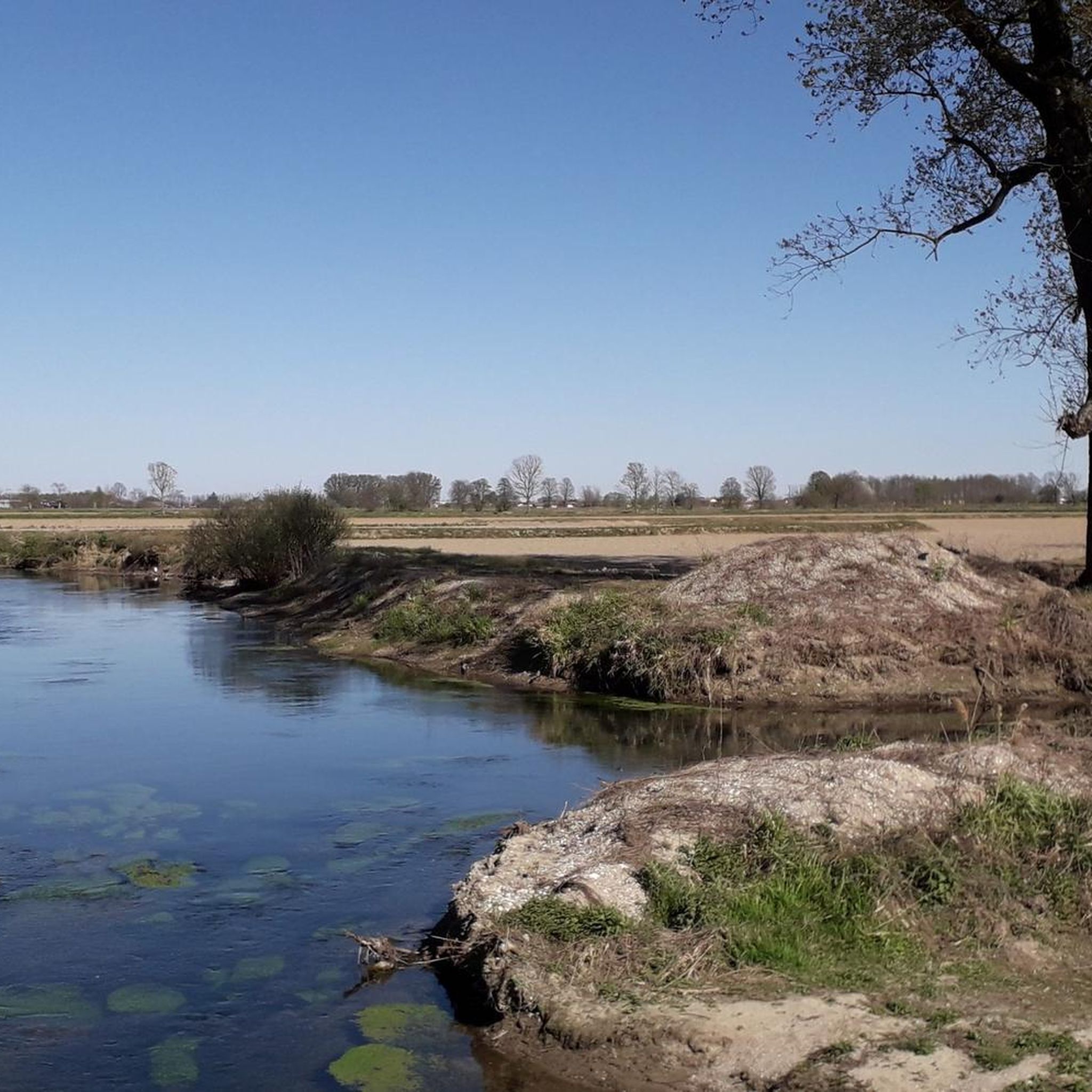
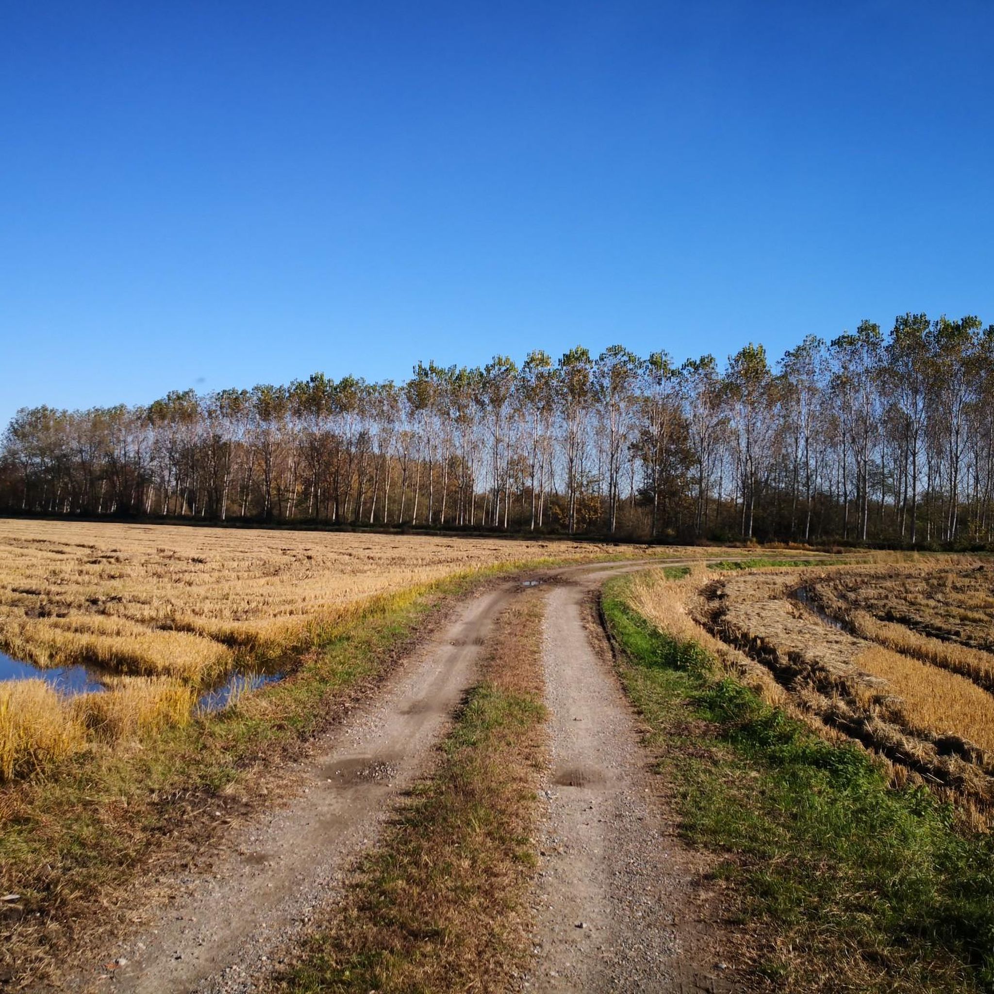
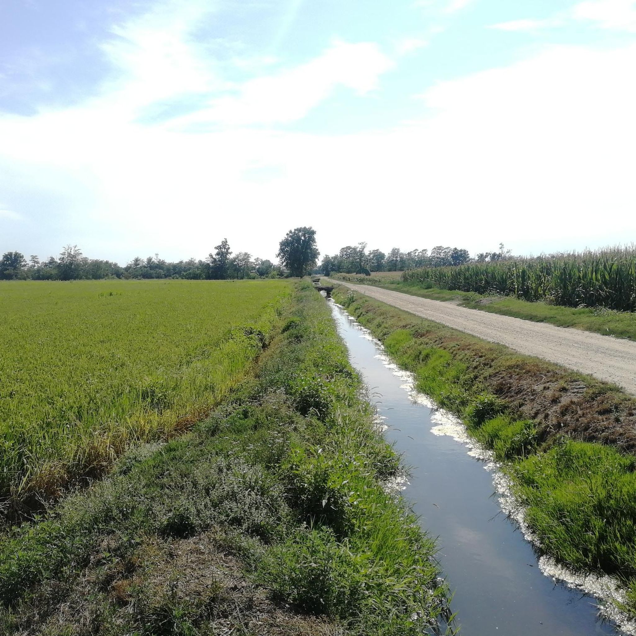
Hiking around Mortara offers exploration of a distinctive flat landscape within Italy's Lombardy region, characterized by extensive rice fields and a network of waterways. The area is shaped by the Agogna and Terdoppio rivers, and features the Sant'Alessandro Heronry, a significant wetland habitat with humid forests and marsh reeds. This terrain provides accessible paths, including sections of the historic Via Francigena, suitable for walking through agricultural scenery.
Best hiking trails around Mortara
- The most popular hiking route is Hiking loop…
Last updated: August 17, 2026
4.4
(27)
135
hikers
20.9km
05:19
20m
40m
Hard hike. Very good fitness required. Easily-accessible paths. Suitable for all skill levels.
4.3
(7)
13
hikers
9.26km
02:20
10m
10m
Moderate hike. Good fitness required. Easily-accessible paths. Suitable for all skill levels.

Sign up for free
5.0
(3)
12
hikers
11.5km
02:55
20m
20m
Moderate hike. Good fitness required. Easily-accessible paths. Suitable for all skill levels.
3.0
(2)
12
hikers
16.0km
04:03
20m
20m
Moderate hike. Good fitness required. Easily-accessible paths. Suitable for all skill levels.
5.0
(4)
5
hikers
11.6km
02:55
20m
20m
Moderate hike. Good fitness required. Easily-accessible paths. Suitable for all skill levels.
Get access to more routes and recommendations from other explorers.
Sign up for free
Already have an account?
Our route recommendations are based on thousands of hikes, rides, and runs completed by other people on komoot.
Start today with a free account
Your next adventure awaits.
Login or Signup
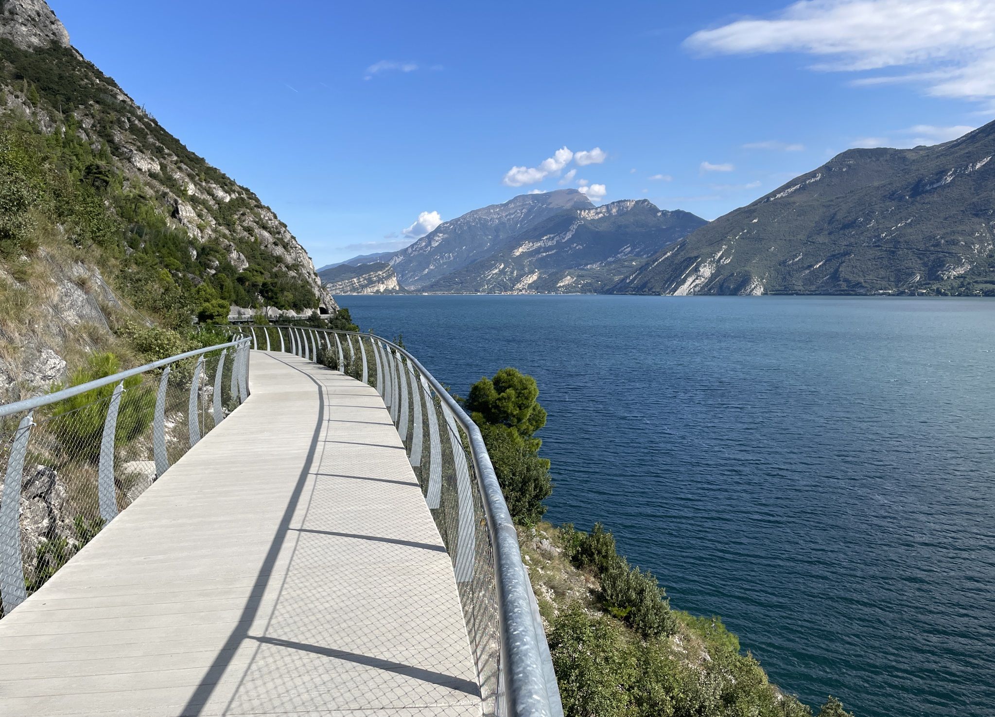


Tips from the Community


A historically important route is the stretch of the Via Francigena in Lomellina which, coming from Robbio, crosses the entire town and allows you to pass by the eighteenth-century sanctuary of the "Madonnina" and the parish church of S. Terenziano (seventeenth century). The route is marked by volunteers to facilitate the passage of pilgrims. In the village there is a hospice near the parish house run by volunteers. As you pass in front of the "Madonnina", it is possible to notice a majestic and centuries-old magnolia behind it. Wikipedia
3
0
Nicorvo is a charming comune in the Italian province of Pavia, located in the Lombardy region. With a population of 385 inhabitants and an area of 8.2 km², it is located in the northern part of the Lomellina, near the left bank of the Agogna river. The economy of Nicorvo is mainly based on agriculture, with a particular focus on rice cultivation,
3
0
The Basilica di San Lorenzo is Mortara's most prominent historical monument, a Gothic building from the 14th century. Located in the city center, near the Palazzo del Comune, it attracts attention with its terracotta facade. Architecture: Built in Gothic Lombard style between 1375 and 1380 by Bernardino da Novara. Martino Bassi made some structural changes in 1573. Exterior: The cotto facade has frescoes in the lunettes of the portals, made by Nando Bialetti. The tondi on the facade are by Boniforte da Mortara. The colorful stained glass windows are the work of Francesco Mossmeyer. Interior: Rich in works of art, including paintings by Paolo da Brescia and a remarkable wooden nativity scene by Lorenzo da Mortara. In the 20th century the interior was renovated by Giuseppe Piatti.
6
0
Vertaling: Ring of the Bellardona farmhouse VIA FRANCIGENA
2
0

You arrive from Albonese and you are spoiled for choice, do I go right or left? Take the right and reach Borgolavezzaro. If you go left you have the possibility to decide whether to head towards Robbio or Ceretto Lomellina.
1
1

The collegiate basilica of San Lorenzo is dedicated to Lawrence of Rome and has the title of a minor basilica. The Gothic church dates from the 14th century and is the seat of the canon chapter. The church was designed between 1375 and 1380 by Bartolino da Novara in the Lombard Gothic style and was built of brick. A renovation was carried out in 1573 by Martino Bassi, restorations took place in 1840 and again in 1916. In this case, Giuseppe Piatti made the church simpler by removing chapels and replacing the altar. Pope Pius XII raised the church to the rank of a minor basilica in 1939. Source: Wikipedia
2
0

Frequently Asked Questions
What is the typical terrain like for hiking around Mortara?
The terrain around Mortara is predominantly flat, characterized by expansive rice fields and a network of waterways, including the Agogna and Terdoppio rivers. This makes most routes easily accessible and suitable for hikers of all levels, from easy to moderate.
Are there any significant natural areas or wildlife to observe while hiking?
Yes, the region is home to the Sant'Alessandro Heronry, a significant natural monument and wetland habitat. It's a vital sanctuary for numerous water bird species, with humid forests of black alders, willow thickets, and extensive marsh reeds. You can explore this area further by visiting the Sant'Alessandro Heronry highlight page.
Are there any circular hiking routes available near Mortara?
Many of the trails around Mortara are designed as loops, offering convenient circular walks. For example, the Remondo loop from Mortara is a moderate 9.1-mile (14.6 km) trail that takes you through rice fields and past characteristic farmsteads.
What kind of historical or cultural landmarks can I see on a hike?
Mortara lies along the historic Via Francigena, an ancient pilgrimage route, offering paths with historical significance. You can also find characteristic, often isolated, farmsteads dotting the agricultural landscape. For specific points of interest, consider exploring the Church of San Valeriano, Robbio, or the nearby villages like Olevano di Lomellina and Castello d'Aragona, which feature historic defensive fortresses.
What do other hikers enjoy the most about hiking in Mortara?
The area is highly rated by the komoot community, with an average score of 4.6 stars from over 280 reviews. Hikers often praise the tranquil agricultural scenery, the expansive rice fields, and the accessible, predominantly flat paths that make for enjoyable walks.
Are there any easy routes suitable for beginners or families?
Yes, there are several easy routes. The Hiking loop from Madonna del Campo is an easy 3.3-mile (5.3 km) path that offers a shorter excursion through the tranquil countryside, typically completed in about 1 hour 20 minutes, making it ideal for a relaxed outing.
When is the best time of year to go hiking in Mortara?
The region's rice fields transform throughout the year, making late spring particularly scenic when they appear as vast, reflective bodies of water. During summer, they transition into lush, emerald green meadows. These periods offer distinct and beautiful views for hiking.
Are there any waterfalls to visit near Mortara?
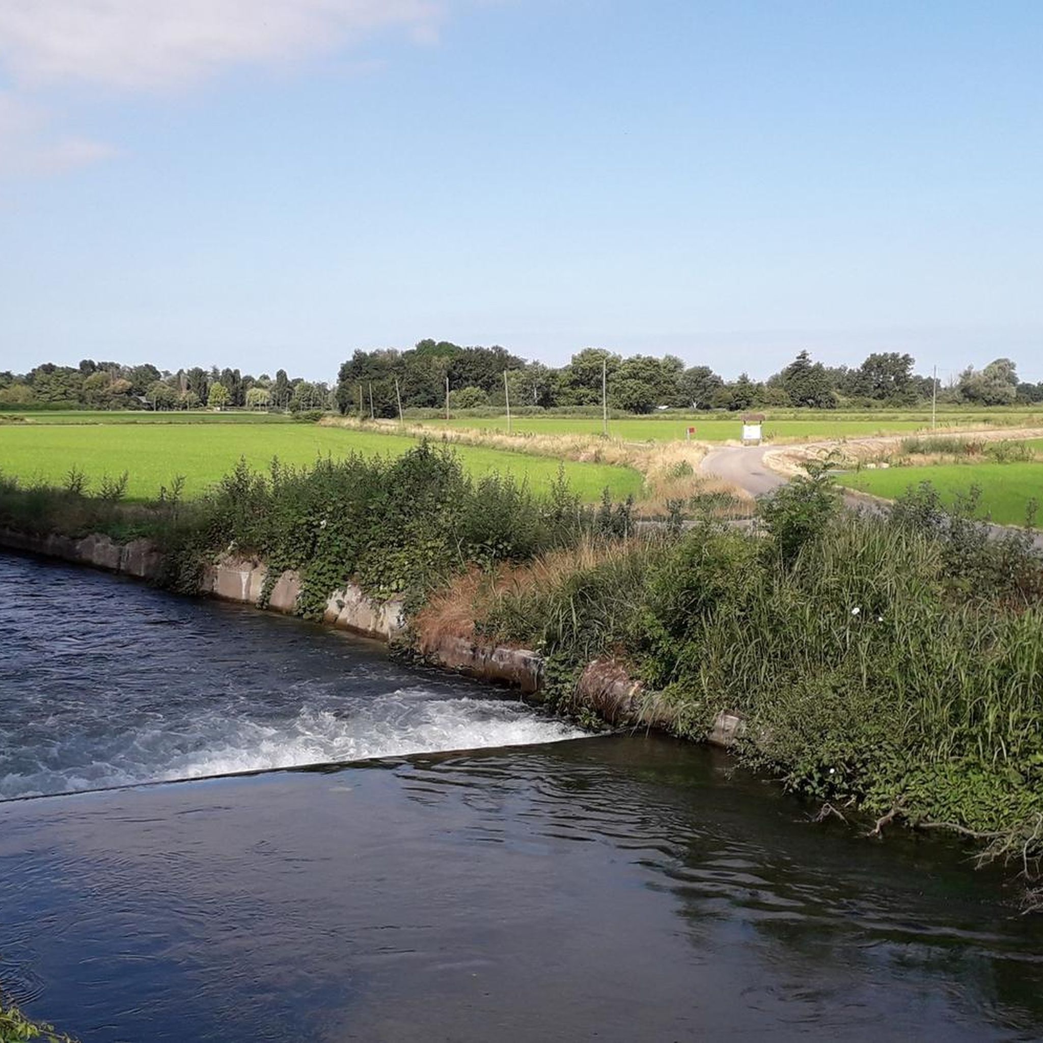
Yes, the Agogna Waterfalls are a natural highlight in the vicinity of Mortara. They offer a picturesque spot to visit and are part of the natural monuments around the area.
What is the longest moderate hike available in the area?
For a longer moderate hike, consider the Santuario di Sant'Anna loop from Mortara. This route spans 17.8 km (11.1 miles) and typically takes around 4 hours 30 minutes to complete, offering an extended exploration of the local landscape.
Can I find places to eat or drink near the hiking trails?
While specific cafes or pubs directly on the trails are not detailed, Mortara and nearby villages offer options for refreshments. The region's agricultural setting means you'll often find local eateries in the towns surrounding the hiking areas.
Is there parking available at the trailheads?
Most hiking routes around Mortara start from or pass through the town itself or small villages, where public parking is generally available. It's advisable to check local signage for specific parking regulations in smaller hamlets.
Are there any other natural monuments besides the Heronry that I can visit?
Beyond the Sant'Alessandro Heronry, you can also explore the Dosso of Lomellina and the Loja Marsh, which are other notable natural monuments in the region, offering diverse wetland and natural features.
How many hiking trails are there in Mortara?
There are over 40 hiking routes available around Mortara, catering to various preferences. These include 15 easy routes, 29 moderate routes, and a few more challenging options, ensuring there's a trail for every ability level.
Most popular attractions around Mortara

Get inspired with the komoot mobile app


Explore more
Browse the best Hikes in other regions.
