Top 12 Mountain Passes around Castel Condino
Best mountain passes around Castel Condino offers access to mountainous terrain in the Trentino region. The village is situated at the foot of Cima Pissola, providing a starting point for various mountain activities. The area features routes that traverse forests and open to panoramic views of the Valle del Chiese and the Brenta Dolomites. These routes provide diverse experiences for exploring the alpine environment.
Best mountain passes around Castel Condino
- The most popular mountain passes is Bocca di Trat Scenic Road, a trail that offers a gorgeous climb for cyclists, with parts of the upper section freshly paved. This route provides a long passage towards a Rifugio, with some very steep but scenic sections.
- Another must-see spot is Tremalzo to Passo Nota Trail, an intermediate trail with viewpoints. This trail is described as beautiful and not overly demanding, suitable for many, offering breathtaking views and a good lunch option at the Nota refuge.
- Visitors also love Giovo Pass, a mountain pass with panoramic views. This pass offers a panoramic point of the Giudicarie, with views extending from the Val di Ledro to the Val di Chiese, and features a single trail along the ridges.
- Castel Condino is known for scenic roads, challenging climbs, and diverse trails. These include routes that function as mountain passes, offering a variety of experiences for exploration.
- The mountain passes around Castel Condino are appreciated by the komoot community. Over 100 upvotes and 44 photos highlight the appeal of these routes.
Last updated: September 29, 2026
Bocca di Trat Scenic Road
Highlight (Segment) • Trail
Translated by Google •
Tip by

Very steep segment
Highlight (Segment) • Climb
Translated by Google •
Tip by

Sign up now to discover places like this
Get recommendations on the best single tracks, peaks, & plenty of other exciting outdoor places.
From the Gaver plain to the Bruffione bivouac
Highlight (Segment) • Mountain Hut
After crossing the bridge over the Caffaro, the mule track begins to climb the slope on the left, in a southerly direction, entering a dense forest, with some panoramic openings, unfortunately created by the cutting of trees made necessary by the presence of the harmful bark beetle.
The mule track is really beautiful with a good surface and in the highest part it is also particularly scenic given that the roadway was created by digging deeply into the outcrops of reddish rocks.
After about 3 km, you cross a narrow passage "in the trench", a real portal with ancient plants placed on the curved shoulders over the gap.
Just beyond the gate everything changes and you enter an incredible natural environment: the "plan di Bruffione", a splendid and wide suspended valley, with grazing herds, ancient huts and a crystalline stream that crosses it.
At the beginning of the plain there is a fork: a path to the right, CAI 413, leads directly to the two lakes of Bruffione while the mule track, CAI 414, our route, leads to the homonymous pass (2143m).
Go up the Vallone gently along a mule track, of military origins, perfectly maintained, passing alongside the Bruffione and Casinello huts.
Here you are immersed in a typically alpine environment with splashes of color donated by a spectacular flora where in the right periods it is possible to see the various blooms of the ferrugineous rhododendron, anemones, lilies and saxifrages as well as some species of wild orchids.
For those interested, it should be noted that, making a small detour, it is possible to access a place where on 17 November 1915, 27 soldiers, including infantrymen and Alpine troops, lost their young lives under an avalanche.
Unfortunately, it seems that the tragedy was caused by an underestimation by the officers of the suitability of the camp site, a position absolutely not recommended by the local mountaineers.
Leaving the last malga, you go up along long but easy walks back to the Bruffione pass and here the view of the basin is spectacular.
Once you reach the pass, right on the border between Trentino and Lombardy, at an altitude of 2143 m, at the foot of a pyramid-shaped peak, the small Bruffione bivouac appears, a beautiful stone structure, with bright red doors, with all that which is needed to be able to take shelter in case of bad weather.
Translated by Google •
Tip by

Passo Ampola
Highlight • Mountain Pass
Translated by Google •
Tip by

Pinnacle of Passo del Frate
Highlight • Natural Monument
Translated by Google •
Tip by

Sign up for free to discover even more mountain passes around Castel Condino.
Already have an account?
Start today with a free account
Your next adventure awaits.
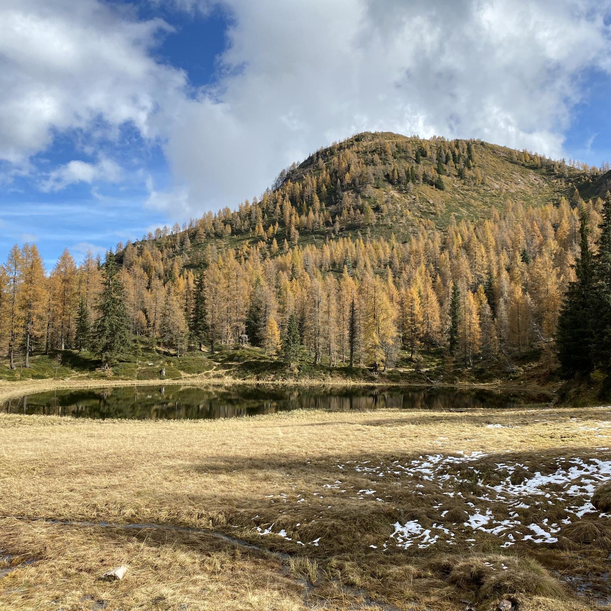
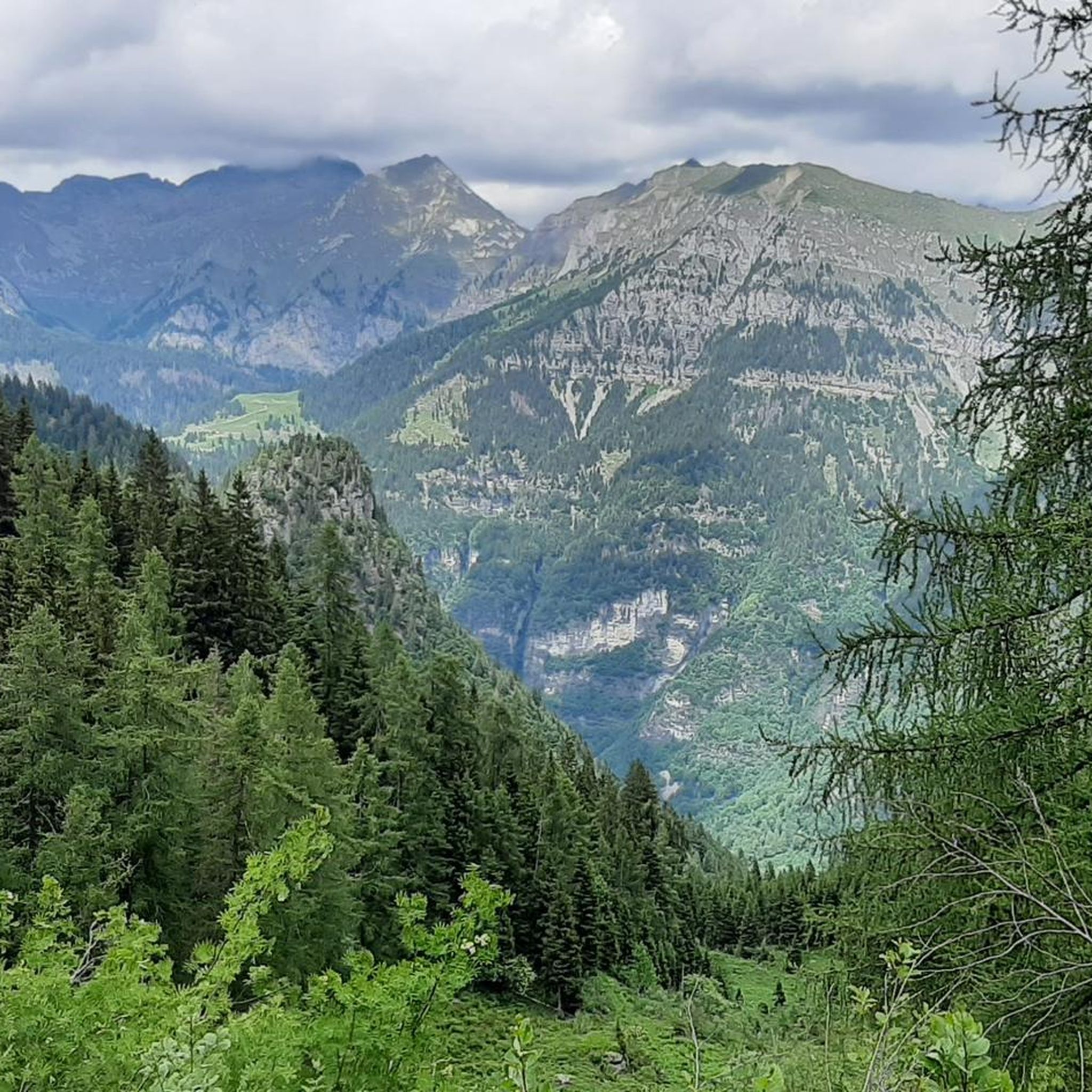
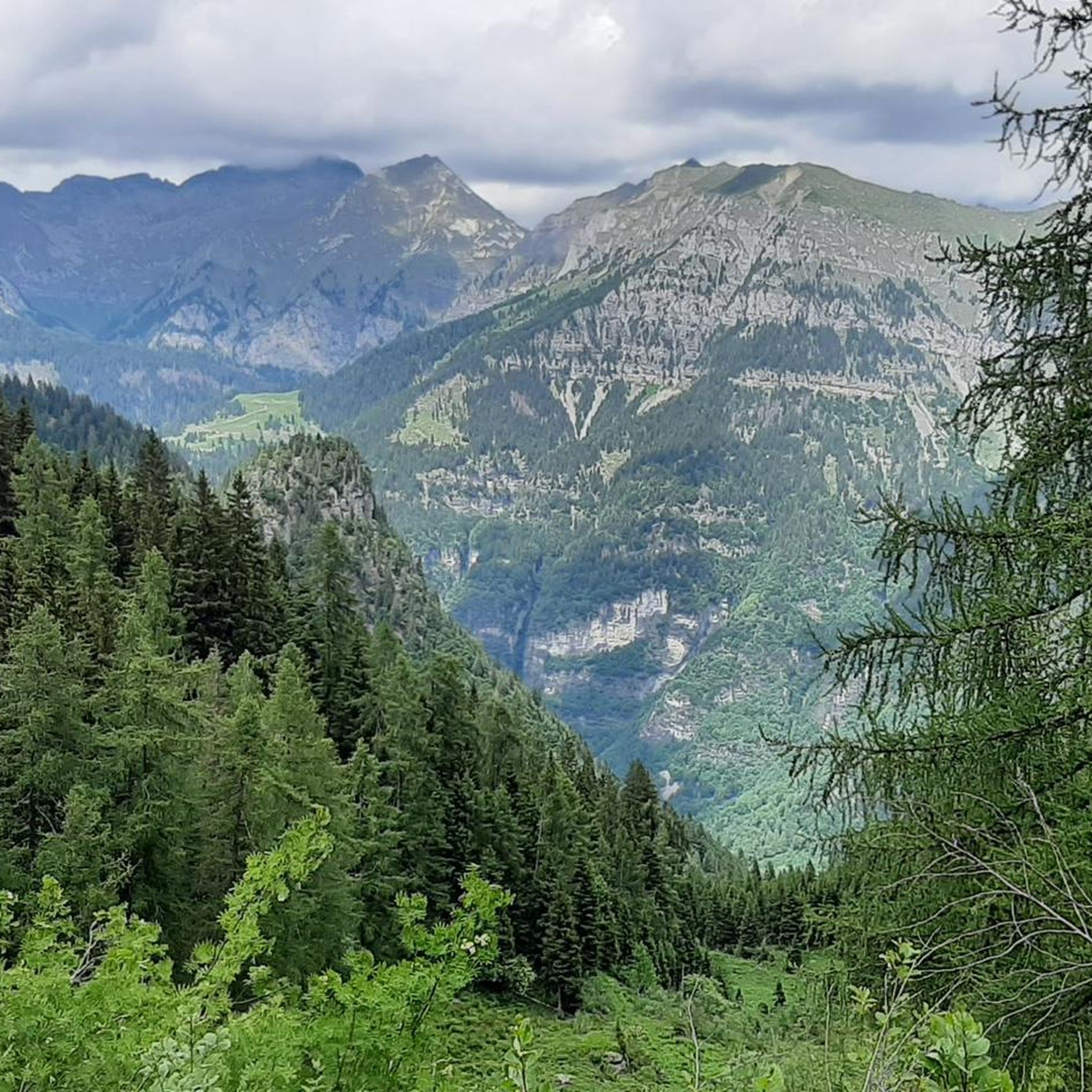
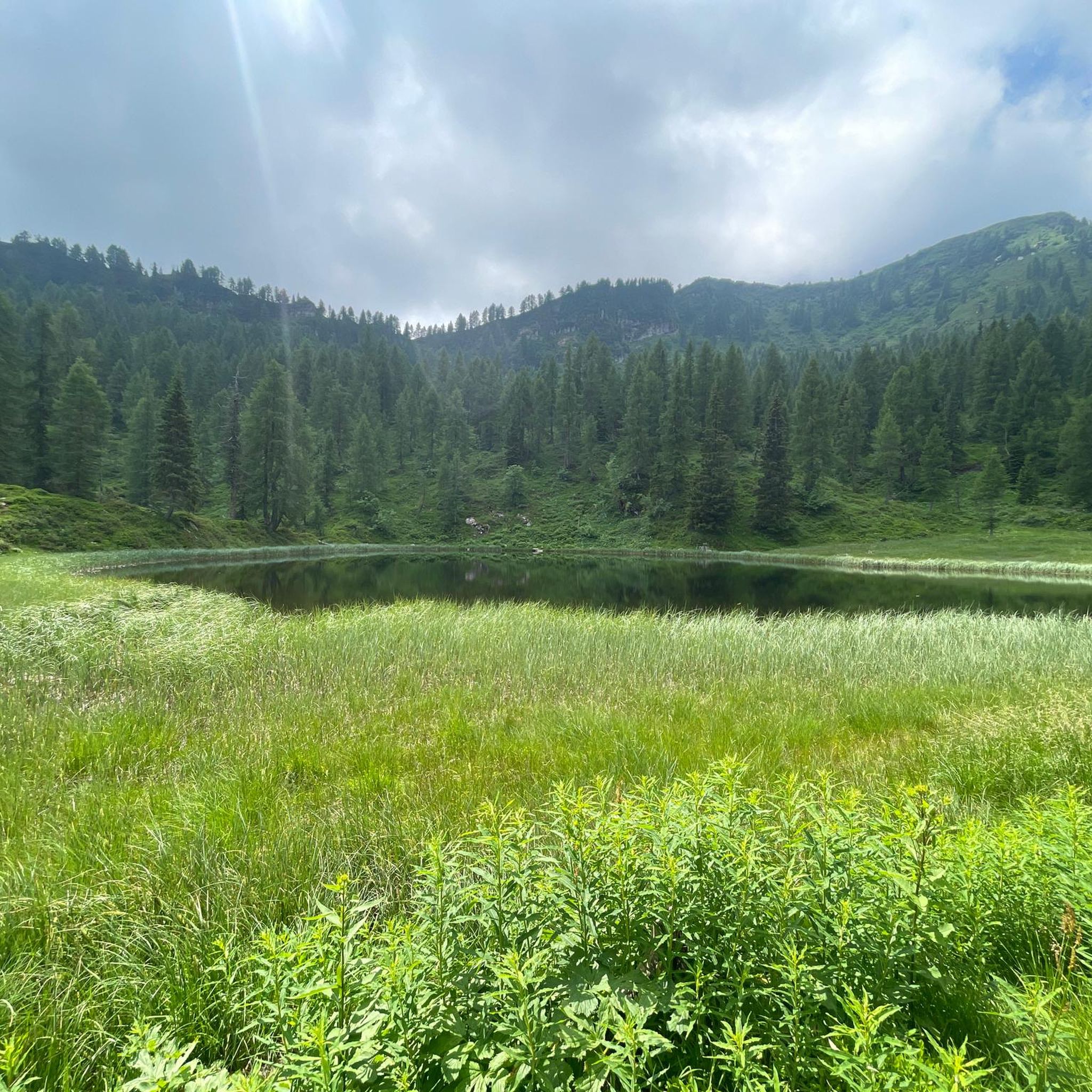

Tips from the Community

Hike done on September 13, 2026, ascent and descent via the Trincea. From the information exchanged with various hikers, the path on the right is also currently quite landslide-prone and unstable. Ascending and descending the Trincea only requires decent leg strength due to the slope, but the feeling of emptiness is eliminated (you are completely inside, so no vertigo at all) and you hold onto the rocks and the handholds. Likewise for the descent, the rocks on the sides embrace and provide grip. The handholds act as steps. Nothing technical. However, training and habituation to unstable terrain are necessary. The area is very humid due to small streams emerging from the ground.
0
0

A better way up than from Grassi!
0
0

Beautiful road offering great views
0
0

Rock pinnacle approximately 20 meters high located at the Passo del Frate in Val d'Arnò, carved in metamorphosed limestone crossed by volcanic veins subject to strong erosion. Trenches and walkways dating back to the First World War have been dug in correspondence with the veins. To access there are two paths: a gully on the left, steep and made difficult by the steep terrain; an equipped route on the right, paradoxically easier to access the pass if you are not afraid of holding on to some hooks and some brackets nailed to the rock.
0
0

Just beside the Bar Bruffione (one of the various establishments accessible on the plain), a notice board is visible with a list of the various indications on the destinations that can be reached: the sign initialed "401 - Bivacco P.so Bruffione" indicates our direction to follow. After crossing the bridge over the Caffaro, the mule track begins to climb the slope on the left, in a southerly direction, entering a dense forest, with some panoramic openings, unfortunately created by the cutting of trees made necessary by the presence of the harmful bark beetle. The mule track is really beautiful with a good surface and in the highest part it is also particularly scenic given that the roadway was created by digging deeply into the outcrops of reddish rocks. After about 3 km, you cross a narrow passage "in the trench", a real portal with ancient plants placed on the curved shoulders over the gap. Just beyond the gate everything changes and you enter an incredible natural environment: the "plan di Bruffione", a splendid and wide suspended valley, with grazing herds, ancient huts and a crystalline stream that crosses it. At the beginning of the plain there is a fork: a path to the right, CAI 413, leads directly to the two lakes of Bruffione while the mule track, CAI 414, our route, leads to the homonymous pass (2143m). Go up the Vallone gently along a mule track, of military origins, perfectly maintained, passing alongside the Bruffione and Casinello huts. Here you are immersed in a typically alpine environment with splashes of color donated by a spectacular flora where in the right periods it is possible to see the various blooms of the ferrugineous rhododendron, anemones, lilies and saxifrages as well as some species of wild orchids. For those interested, it should be noted that, making a small detour, it is possible to access a place where on 17 November 1915, 27 soldiers, including infantrymen and Alpine troops, lost their young lives under an avalanche. Unfortunately, it seems that the tragedy was caused by an underestimation by the officers of the suitability of the camp site, a position absolutely not recommended by the local mountaineers. Leaving the last malga, you go up along long but easy walks back to the Bruffione pass and here the view of the basin is spectacular. Once you reach the pass, right on the border between Trentino and Lombardy, at an altitude of 2143 m, at the foot of a pyramid-shaped peak, the small Bruffione bivouac appears, a beautiful stone structure, with bright red doors, with all that which is needed to be able to take shelter in case of bad weather.
0
0


I'm guessing that increase is at least 20%. Can be bypassed.
3
0

Superb road that climbs towards the Pernici refuge
2
0
Frequently Asked Questions
What are some of the most popular mountain passes and routes around Castel Condino?
Visitors frequently enjoy the Bocca di Trat Scenic Road, known for its gorgeous climb and scenic sections. Another favorite is the Tremalzo to Passo Nota Trail, which offers breathtaking views without being overly demanding. The Giovo Pass is also popular for its panoramic views stretching across the Val di Ledro to the Val di Chiese.
Are there family-friendly mountain routes or passes near Castel Condino?
Yes, the route from Castel Condino to the Boniprati plateau is suitable for families. The plateau itself features a biotope and a playground, making it a pleasant destination. While the initial section involves a steep mule track, it gradually becomes less strenuous, offering a rewarding experience with panoramic views of the Daone Valley and the Brenta Dolomites.
What kind of natural features can I expect to see when exploring the mountain passes?
You can expect stunning panoramas of the Valle del Chiese, the Daone Valley, and the majestic Brenta Dolomites. Routes often traverse fragrant coniferous and deciduous forests. High-altitude areas, like those leading to Monte Bruffione or Cima Pissola, offer expansive views and a chance to see diverse alpine flora, including rhododendrons, anemones, and wild orchids.
Are there any historical or cultural sites along the mountain routes?
Yes, the walking path from Castel Condino to the Boniprati plateau includes a Via Crucis with painted chapels and leads to the 19th-century Cappella dei Morti. Additionally, the ascent of Cima Pissola features the remnants of a former military encampment and observatory, adding a historical dimension to the climb.
What outdoor activities can I do near these mountain passes?
The region offers diverse outdoor activities. You can find excellent options for mountain hikes, from moderate trails to challenging ascents like Cima Pissola. There are also opportunities for gravel biking and road cycling, with routes like Passo del Ballino being particularly popular for cyclists.
What is the best time of year to visit the mountain passes around Castel Condino?
The best time for hiking and cycling the mountain passes is generally from late spring to early autumn (May to October), when the weather is milder and trails are clear of snow. For ski mountaineering, the winter months, particularly around Cima Pissola, offer challenging and rewarding experiences.
Is there a mountain pass suitable for road cycling near Castel Condino?
Yes, Passo del Ballino is a significant mountain pass in Trentino that is very popular for road cycling. It connects the Giudicarie valleys with the northern part of Lake Garda and offers scenic routes with manageable gradients, making it an attractive option for cyclists.
What makes the route to Bruffione bivouac special?
The route From the Gaver plain to the Bruffione bivouac is a beautiful mule track of military origins, leading through a dense forest with panoramic openings. It takes you to the 'plan di Bruffione,' a stunning suspended valley with grazing herds and a crystalline stream. The path is known for its perfectly maintained surface and spectacular alpine flora, culminating in the Bruffione pass at 2143m with a small, red-doored bivouac.
Are there any challenging climbs for experienced cyclists or hikers?
Absolutely. The Bocca di Trat Scenic Road offers a gorgeous and sometimes very steep climb for fit cyclists. For hikers, the ascent of Cima Pissola (2063m) provides a strenuous and rewarding experience, particularly recommended for experienced individuals and ski mountaineers in winter.
What do visitors enjoy most about the mountain passes in this region?
Visitors frequently highlight the stunning panoramic views, the immersion in nature through diverse forests, and the sense of accomplishment from challenging climbs. The blend of natural beauty with cultural and historical elements, such as the Via Crucis or old military sites, also adds to the appeal. Many appreciate the well-maintained trails and the authentic alpine experiences available.
Can I find food or refreshments near the mountain passes?
Yes, some routes lead to or pass by refuges and malgas. For example, the Tremalzo to Passo Nota Trail offers a good lunch option at the Nota refuge. Malga Table, accessible via Boniprati, provides an authentic alpine experience with dairy production and local products. The route to Bruffione bivouac also passes by the Bruffione and Casinello huts.
Are there opportunities for wildlife spotting in the mountains around Castel Condino?
While specific wildlife sightings are not guaranteed, the diverse alpine environment, including dense forests and high-altitude meadows, provides habitats for various species. Keep an eye out for local fauna, especially in quieter areas and during early morning or late evening hours.
Most popular routes around Castel Condino
Most popular attractions around Castel Condino

Get inspired with the komoot mobile app


Explore more
See even more epic mountain passes by checking out these guides around Castel Condino:
