The best mountain hikes around Castel Condino
5.0
(4)
29
hikers
Mountaineering routes around Castel Condino are situated in Italy's Trentino region, within the Valle del Chiese and near the Adamello Brenta Nature Park. The landscape features diverse terrain, ranging from forests and meadows in the valley to high-altitude mountain groups. Elevations in the broader park area span from 477 to 3,558 meters, offering varied challenges for mountaineers. The region is characterized by significant peaks, alpine pastures, and a network of trails through both valleys and higher elevations.
Best mountaineering routes…
Last updated: May 25, 2026
5.0
(3)
16
hikers
18.2km
08:51
1,370m
1,370m
Hard mountaineering route. Very good fitness required. Sure-footedness, sturdy shoes and alpine experience required.
5.0
(1)
11
hikers
14.1km
05:04
670m
670m
Hard mountaineering route. Very good fitness required. Sure-footedness, sturdy shoes and alpine experience required.

Sign up for free
2
hikers
12.1km
05:09
820m
810m
Hard mountaineering route. Very good fitness required. Sure-footedness, sturdy shoes and alpine experience required.
Our route recommendations are based on thousands of hikes, rides, and runs completed by other people on komoot.
Start today with a free account
Your next adventure awaits.
Login or Signup
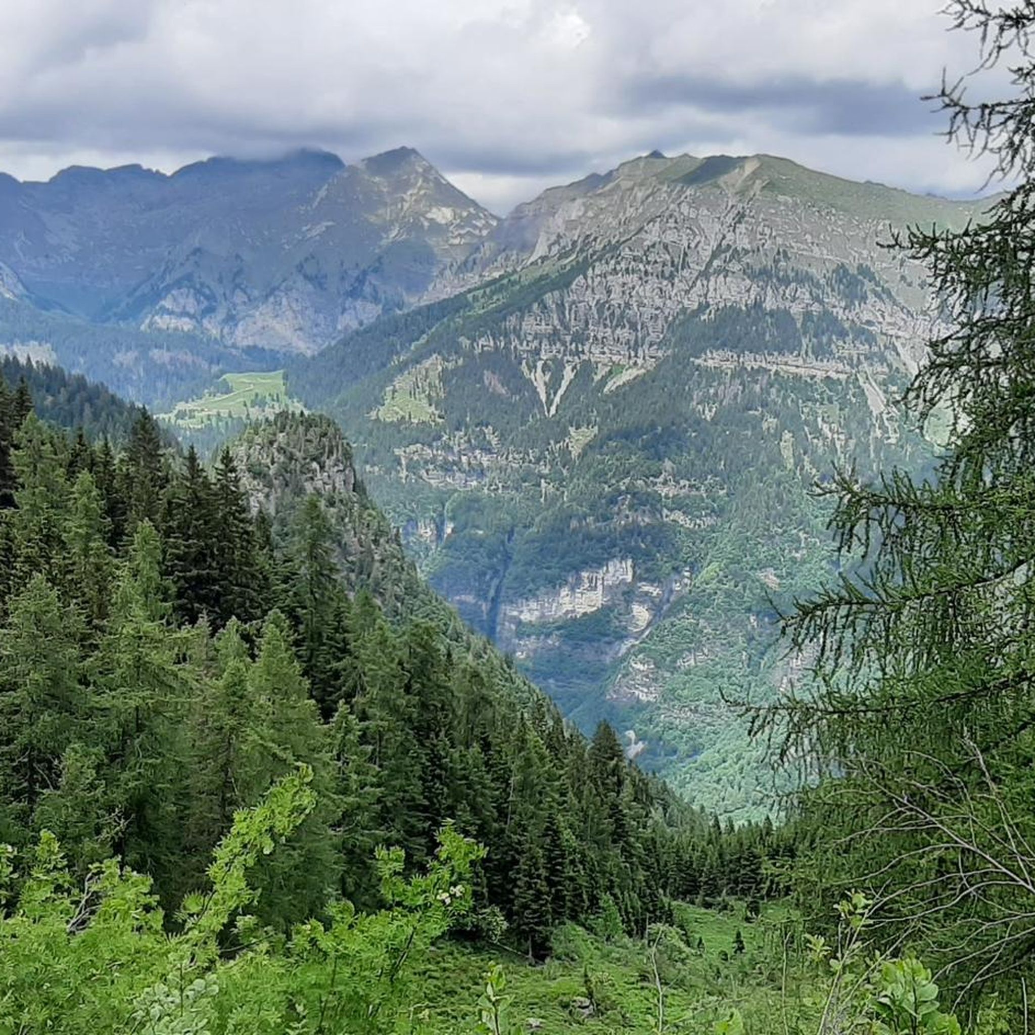
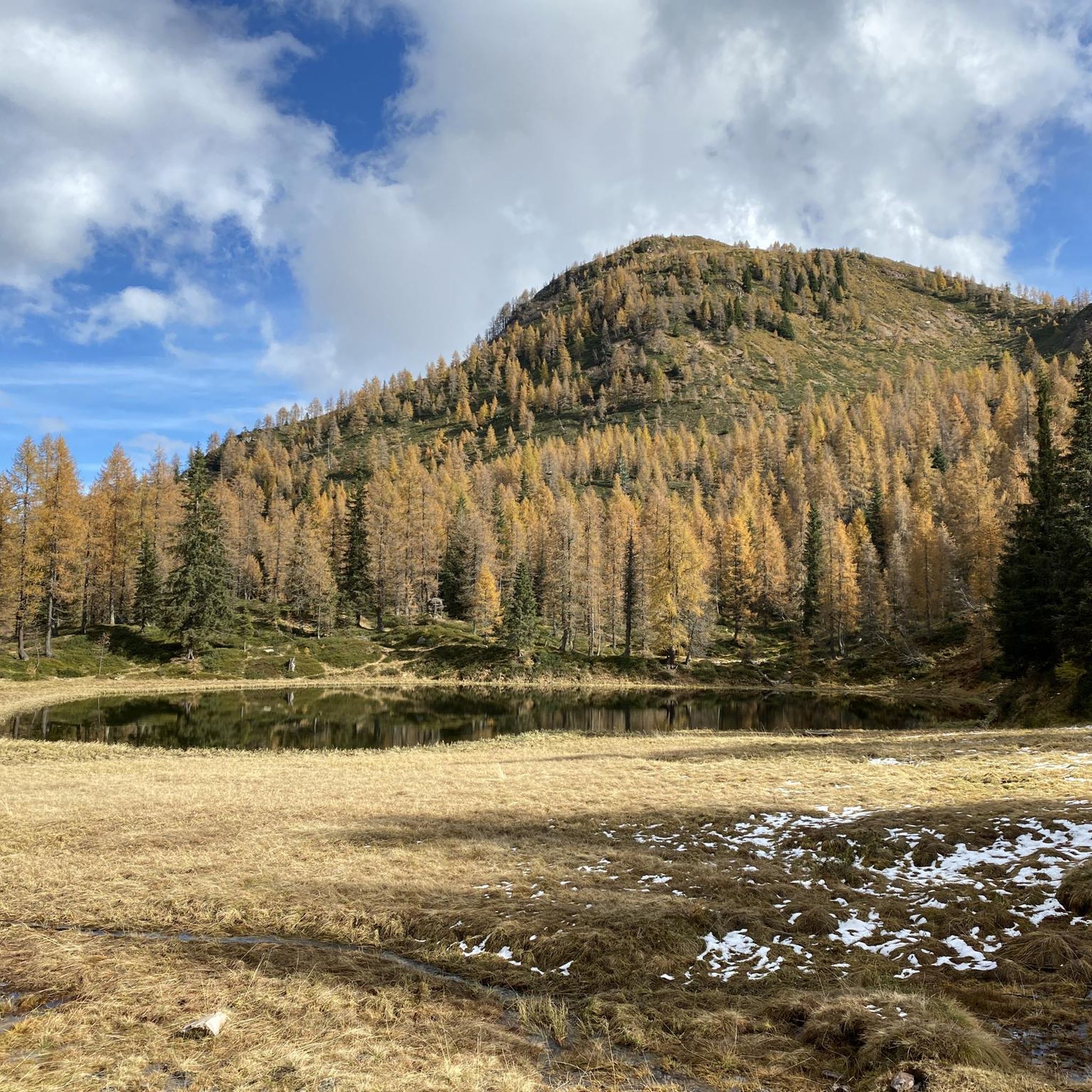
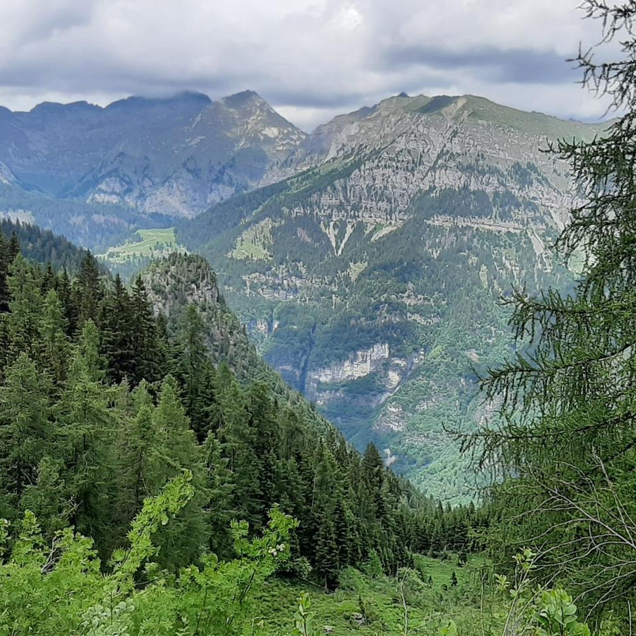
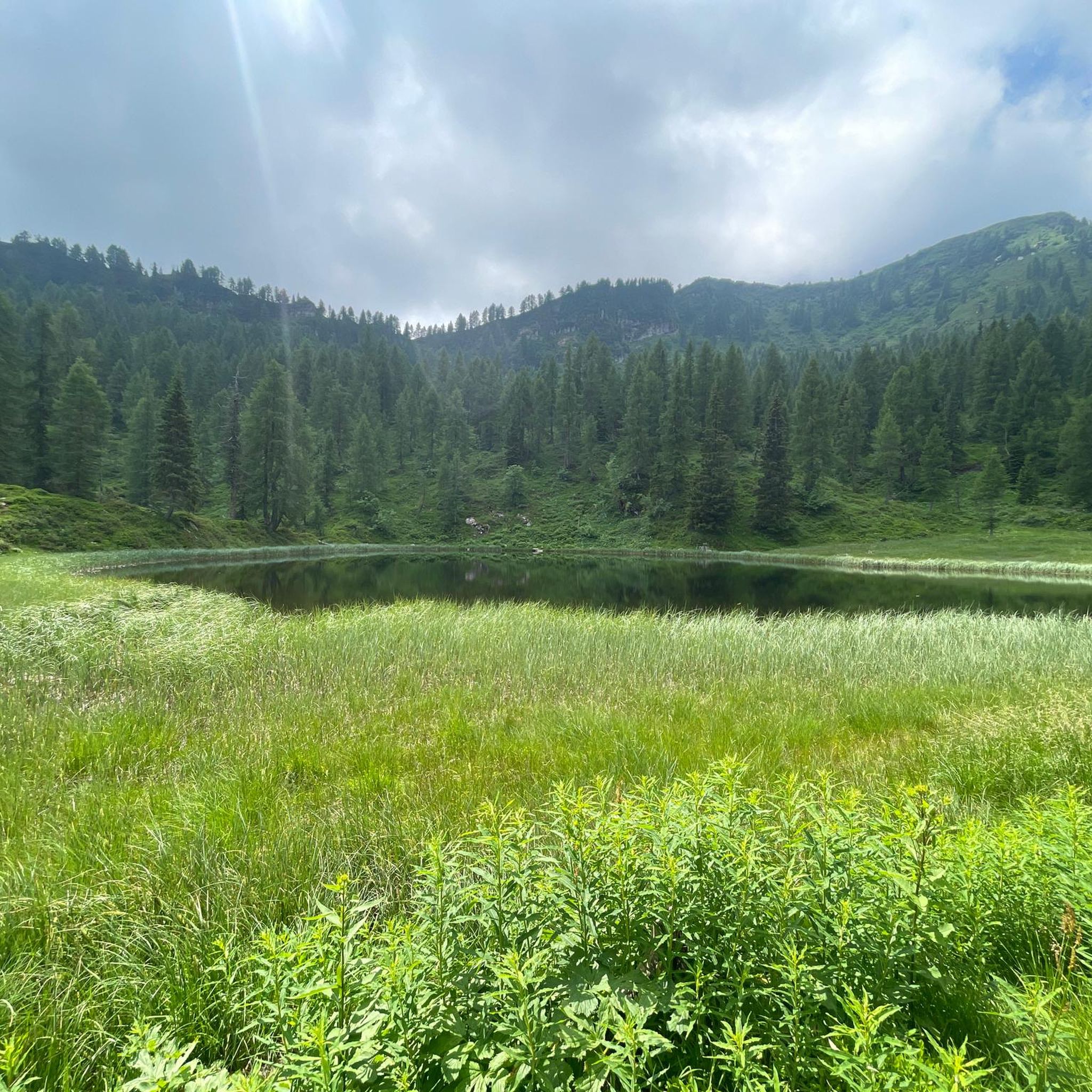

Tips from the Community

Anyone who comes from Grassi has done a lot. Pushing, gravel, steep!
0
0

The view is very beautiful! You can even see part of Lake Garda. The climb from the lake is possible without climbing equipment, but the last few meters are very steep and likely to be very slippery in rain. There are also a few obstacles, and you should be free from vertigo.
0
0

An easy paved trail, used by the Tita Secchi refuge keeper to transport supplies by quad. Beautiful for an e-MTB.
0
0

difficult path with last part on the crest and steep descent with 3 passage points with very exposed chain
0
1

Easy bike ride to the end of Val Concei. Tour on asphalt.
0
0

The Val Concei Nature Trail crosses the green heart of the Ledro Valley among woods, clearings and waterways, telling the forestry-pastoral history of the area. Along the way you will encounter wooden sculptures, forest animals and the magical Bosco della Fata Gavardina, before reaching the Rifugio al Faggio and the large centuries-old tree that gives its name to the structure. The trail can be easily traveled even by mountain bike and is suitable for children, thanks to the limited difference in altitude and the numerous rest points.
2
0

A starting point for excursions, you can also get there by bike from Pieve di Ledro. Restaurant closes at 2.30 pm then bar service for a refreshment.
0
0

At 2,151 metres, Tofino is the highest peak in the Ledro Alps mountain group. From the top the view extends 360° over a grandiose panorama.
0
0
Frequently Asked Questions
How many mountaineering routes are available around Castel Condino?
There are at least 5 mountaineering routes detailed around Castel Condino, all rated as difficult, offering significant challenges for experienced mountaineers. The broader region, including the Valle del Chiese and Adamello Brenta Nature Park, features an extensive network of paths for various outdoor pursuits.
What kind of terrain can I expect on mountaineering routes near Castel Condino?
Mountaineering routes around Castel Condino offer a diverse and stunning natural landscape. You can expect varied terrain ranging from unspoiled forests and meadows in the Valle del Chiese to high-altitude mountain groups within the Adamello Brenta Nature Park. The routes often feature substantial climbs through alpine landscapes, with elevations spanning dramatically from valley floors to over 3,000 meters in the broader park area.
Are there any beginner-friendly mountaineering routes around Castel Condino?
The mountaineering routes specifically highlighted around Castel Condino are generally rated as difficult, featuring significant elevation gains and challenging terrain. For those seeking less strenuous options, the broader Valle del Chiese and Adamello Brenta Nature Park offer numerous hiking trails, including easier walks and family-friendly treks, though these may not be classified as mountaineering.
What are some challenging mountaineering routes for experienced climbers?
For experienced mountaineers, routes like Blumone Bivouac – Lago della Vacca loop from Locanda Gaver offer significant ascents and demanding conditions. Another challenging option is the Monte Frerone – Corna Bianca loop from Passo di Crocedomini, which navigates through rugged mountain landscapes.
Are there any notable natural landmarks or attractions along the mountaineering routes?
Yes, the region is rich in natural beauty. While on your mountaineering adventures, you might encounter stunning alpine lakes like Lake Tovel or Lake Idro, and spectacular waterfalls such as the Gorg d'Abiss Waterfall or the Ampola Waterfall. The area also features impressive gorges, like those along the Chiese River, offering unique scenic views.
Is public transport available to reach the starting points of mountaineering routes?
Castel Condino is a village in Trentino, and while public transport options like local buses connect it to larger towns, direct public transport to specific high-altitude trailheads can be limited. It's advisable to check local bus schedules for connections to the Valle del Chiese or specific mountain passes, but for many remote starting points, a car might be necessary.
Where can I find parking for mountaineering trails near Castel Condino?
Parking is generally available in Castel Condino village itself, and at common starting points for trails, such as near the Boniprati plateau or various mountain passes like Passo di Tremalzo or Passo di Crocedomini. Specific parking availability can vary by trailhead, so it's recommended to research the starting point of your chosen route in advance.
Do I need a permit to go mountaineering in the Adamello Brenta Nature Park?
Generally, you do not need a specific permit for hiking or mountaineering within the Adamello Brenta Nature Park for day trips. However, it's always good practice to respect park regulations, especially concerning wildlife, waste, and designated paths. For specific activities like canyoning or if you plan to stay overnight in bivouacs or refuges, it's wise to check with the park authority or local tourist information for any specific requirements.
What is the best time of year for mountaineering around Castel Condino?
The best time for mountaineering around Castel Condino is typically from late spring to early autumn (June to September). During these months, the weather is generally more stable, snow has melted from higher elevations, and mountain huts are usually open. Always check current weather and trail conditions before heading out, especially in shoulder seasons.
Are there any circular mountaineering routes in the area?
Yes, many mountaineering routes around Castel Condino are designed as loops, allowing you to start and end at the same point. Examples include the Ridge Trail to Monte Cadria – Mount Cadria loop from Lenzumo and the Malga Giu – Monte Corno (1,730 m) loop from Passo di Tremalzo. These circular routes offer a comprehensive experience of the local mountain scenery.
Can I bring my dog on mountaineering routes near Castel Condino?
The Adamello Brenta Nature Park, which borders Castel Condino, has specific regulations regarding dogs to protect its rich biodiversity, including brown bears. While dogs are generally allowed on leash on many trails, there might be restrictions in certain protected areas or during specific seasons. It's best to check the latest regulations from the park authority or local tourist offices before planning your trip with a dog.
What do other mountaineers enjoy the most about mountaineering in Castel Condino?
The area is highly rated by the komoot community, with an average score of 4.7 stars. Reviewers often praise the challenging and varied terrain, the stunning natural beauty of the Valle del Chiese and Adamello Brenta Nature Park, and the sense of accomplishment from tackling the difficult routes. The extensive network of paths and the diverse landscapes are frequently highlighted as key attractions.
Are there cafes or pubs near the mountaineering trails for refreshments?
While Castel Condino village itself offers local amenities, including cafes and pubs, options directly on or at the immediate trailheads of high-altitude mountaineering routes can be scarce. However, you may find mountain huts (rifugi) or malghe (alpine pastures) along some routes, especially in the Adamello Brenta Nature Park, which often provide refreshments and accommodation. It's always wise to carry sufficient supplies.
Most popular routes around Castel Condino
Most popular attractions around Castel Condino

Get inspired with the komoot mobile app


Explore more
Browse the best Mountain Hikes & Routes in other regions.
