The best road cycling routes around Sagogn
4.7
(84)
2,925
riders
32
rides
Road cycling routes around Sagogn are situated in Graubünden, Switzerland, characterized by mountainous terrain and the dramatic Rhine Gorge. The region features a network of roads that traverse diverse landscapes, including mountain passes and serene forests. Cyclists encounter significant elevation changes and panoramic views of the Alpine environment.
Best road cycling routes around Sagogn
- The most popular road cycling route is Versam Curves – Heidsee (Lake Heid) loop from Versam-Safien, a 57.2 miles (92.1 km) difficult trail that takes…
Last updated: May 11, 2026
4.9
(10)
415
riders
92.1km
05:20
2,170m
2,170m
Hard road ride. Very good fitness required. Some segments of this route may be unpaved and difficult to ride.
5.0
(1)
70
riders
24.5km
02:03
1,150m
1,150m
Hard road ride. Very good fitness required. Mostly well-paved surfaces and easy to ride.

Sign up for free
4.0
(2)
60
riders
28.6km
01:46
780m
780m
Moderate road ride. Good fitness required. Mostly well-paved surfaces and easy to ride.
36
riders
46.8km
02:18
670m
670m
Moderate road ride. Good fitness required. Mostly well-paved surfaces and easy to ride.
43
riders
33.7km
02:34
890m
890m
Moderate road ride. Good fitness required. Some segments of this route may be unpaved and difficult to ride.
Get access to more routes and recommendations from other explorers.
Sign up for free
Already have an account?
Our route recommendations are based on thousands of hikes, rides, and runs completed by other people on komoot.
Start today with a free account
Your next adventure awaits.
Login or Signup

Other adventures around Sagogn

Tips from the Community

easy to drive and scenically spectacular
0
0

A place of power in a special class
0
0

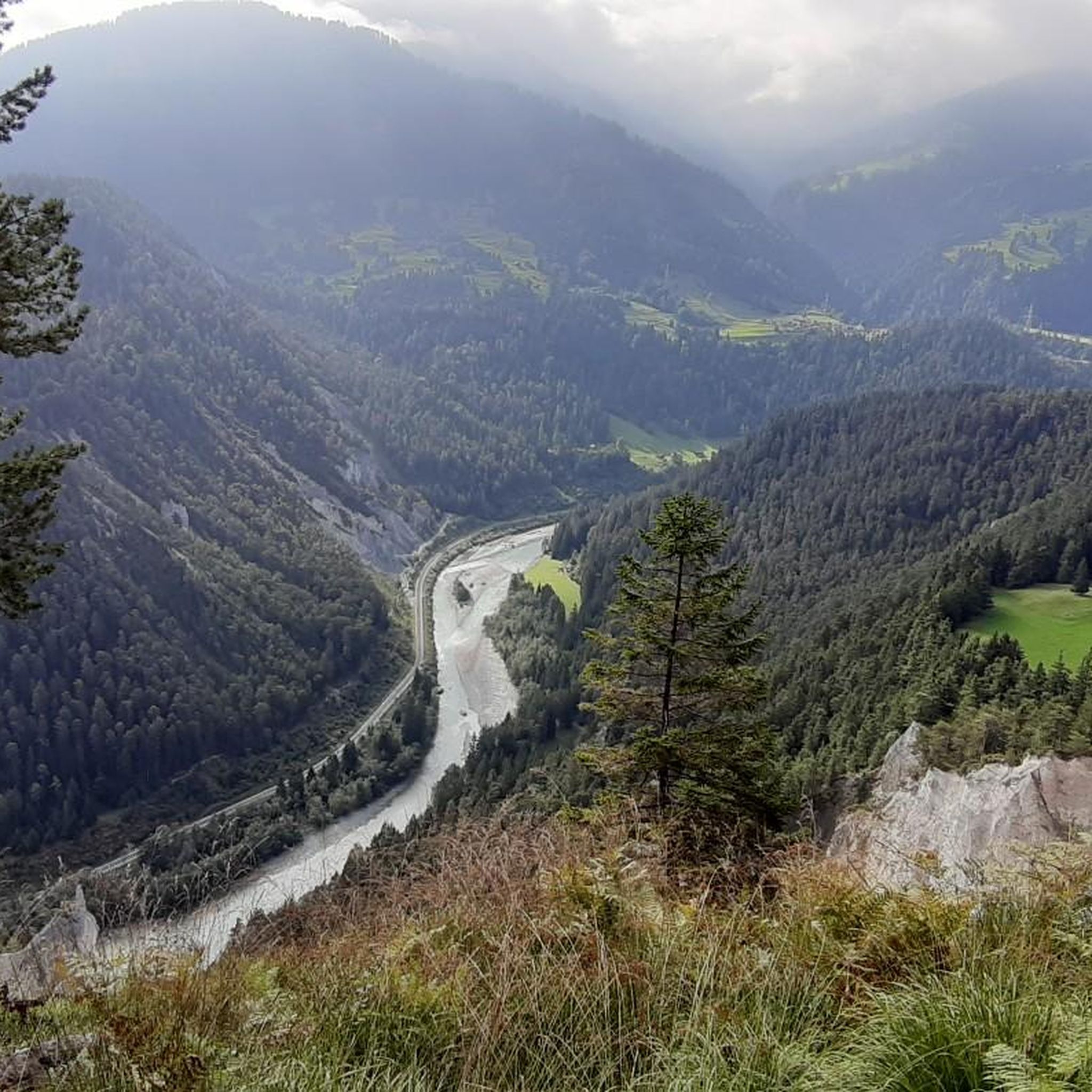
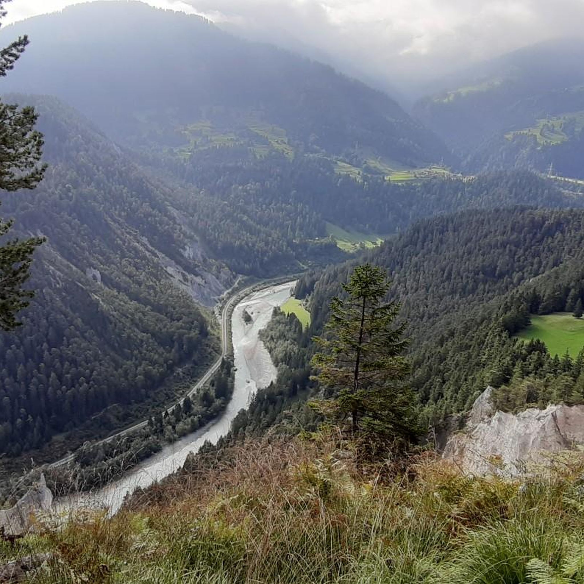
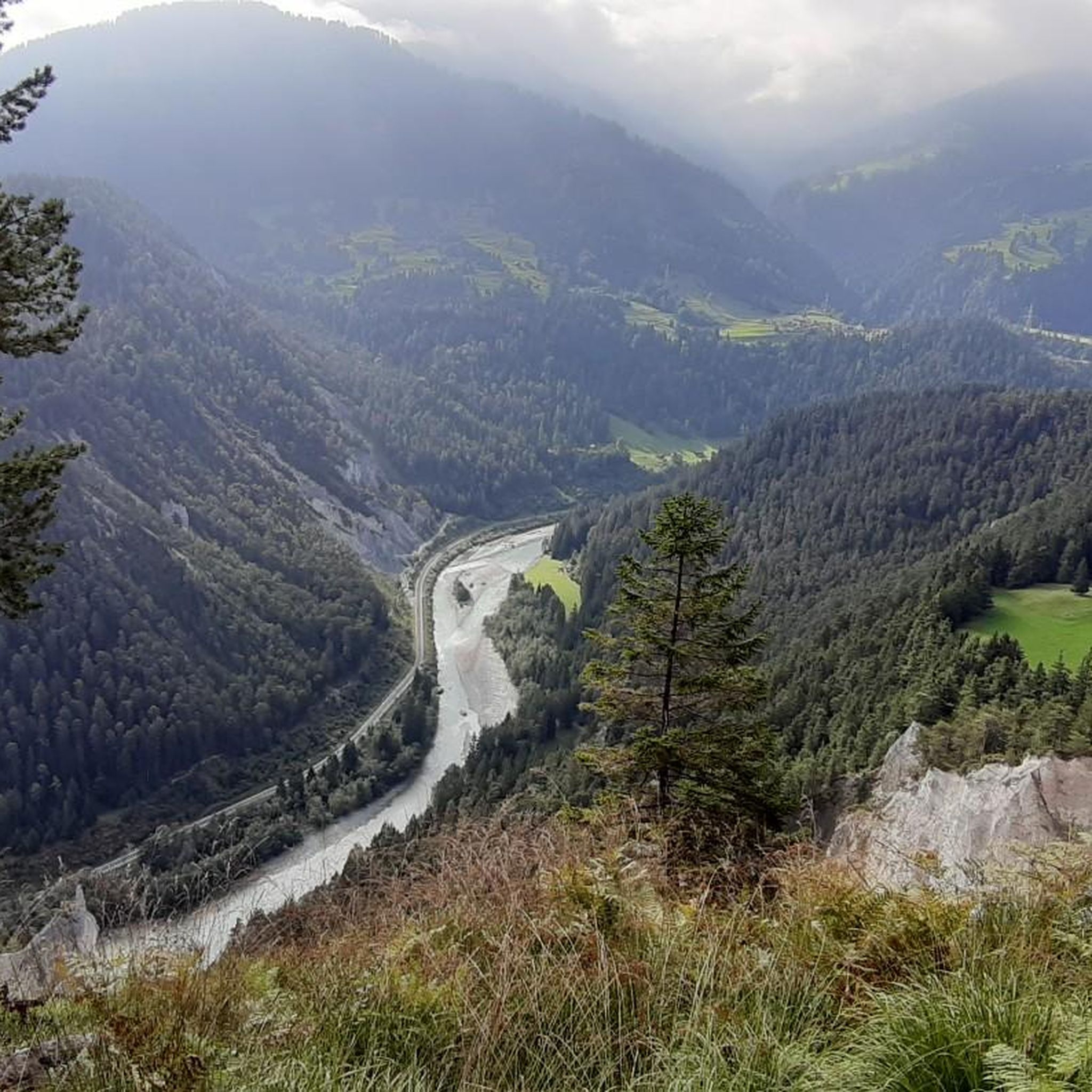
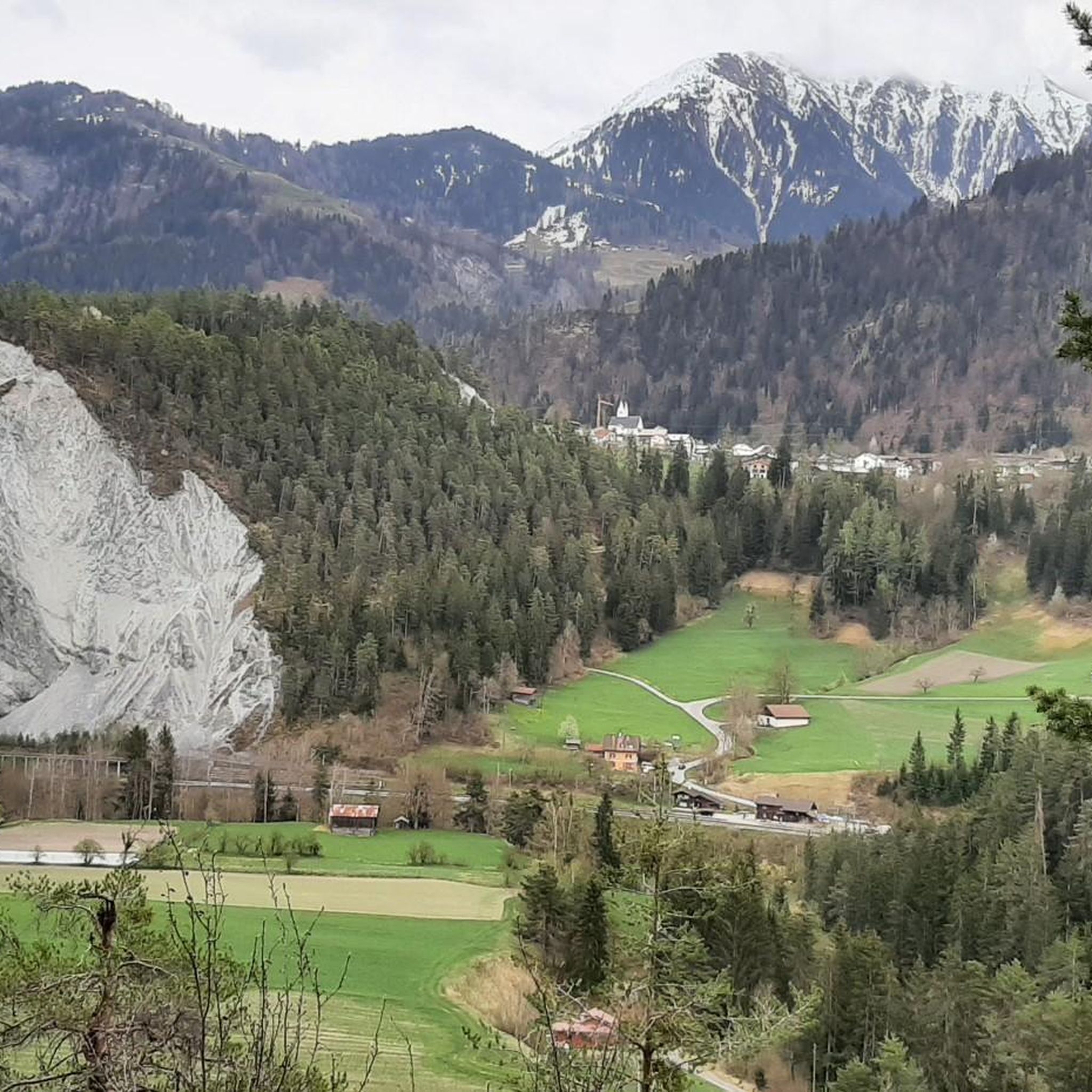
Ruinaulta Rhine Gorge The Ruinaulta, or Rhine Gorge, is a gorge of the Vorderrhein River, up to 400 meters deep and approximately 13 kilometers long, between Ilanz and the mouth of the Hinterrhein River near Reichenau in the canton of Graubünden in Switzerland. The Romansh name 'Ruinaulta' is composed of the two words ruina (scree slope, quarry) and aulta (high). The Ruinaulta was formed after the Flims Landslide almost 10,000 years ago. At that time, over 10 billion cubic meters of rock broke off between the Flimserstein and Piz Grisch, burying the Vorderrhein Valley between the present-day villages of Castrisch and Reichenau under a mass of debris several hundred meters thick. Because the Vorderrhein River could no longer drain away, a lake was dammed over a length of approximately 25 kilometers. Over time, the river cut deep into the landslide, and the resulting lake drained away completely. What remained was the Ruinaulta, with its steep limestone scree cliffs in impressive erosion formations. Text / Source: Wikipedia https://de.wikipedia.org/wiki/Ruinaulta
16
0
Schloss Reichenau At the confluence of the Hinterrhein and Vorderrhein, at the birthplace of the Alpine Rhine, lies the historic site of Reichenau. Reichenau already had great importance in the past: in the 14th century, as long-distance traffic over the Grisons Alpine passes increased significantly, two bridges and a customs house were built. Reichenau was considered a traffic hub, where all traffic could be controlled. In Reichenau, the routes of the north-south axis separate, along the Vorderrhein into the Oberland towards the Lukmanier and Oberalp passes, and along the Hinterrhein through the Domleschg via the Splügen and San Bernardino. Text / Source: Weinbau von Tscharner & Events Schloss Reichenau, Schloss Reichenau, Reichenauerstr. 59, 7015 Reichenau https://www.reichenau.ch/de/reichenau/geschichte-lage
15
0
At the confluence of the Hinterrhein and Vorderrhein, at the birthplace of the Alpine Rhine, lies Reichenau Castle. Built in the 17th century by the episcopal ministerial family Schauenstein, it looks back on a long history. The last king of France even lived here once.
15
0
Confluence of the Vorderrhein and Hinterrhein, Reichenau Dominated by Reichenau Castle, the hamlet lies at the confluence of the Vorderrhein and Hinterrhein rivers, making it virtually the birthplace of the Rhine. It all began 10,000 years ago. Between the Flimserstein (a high plateau) and Piz Grisch, over 10,000 cubic meters of rock broke off and thundered down into the valley. Towards Reichenau, the Vorderrhein valley disappears under a gigantic mass of rubble. From there, the Rhine diligently ate its way through the rock, creating the spectacular Swiss "Grand Canyon" – the Ruinaulta. Text / Source: myswitzerland.com https://www.myswitzerland.com/de-ch/erlebnisse/route/vom-zusammenfluss-der-rheine-in-die-rheinschlucht/
16
0

Very delicious cake! Great service! Card payment possible! E-bike charging facility opposite
0
0
Frequently Asked Questions
What kind of terrain can I expect when road cycling near Sagogn?
Road cycling around Sagogn is characterized by its mountainous terrain, offering breathtaking views of the Alps and the dramatic Rhine Gorge, often dubbed the 'Swiss Grand Canyon'. You'll encounter diverse landscapes, including winding mountain roads, serene forests, and accessible mountain passes like the Lukmanierpass and Oberalppass, providing varied challenges and scenic beauty.
How many road cycling routes are available around Sagogn?
There are over 30 road cycling routes around Sagogn listed on komoot. These routes cater to various skill levels, with 2 easy, 13 moderate, and 18 difficult options, ensuring there's a suitable ride for every cyclist.
Are there road cycling routes for beginners in Sagogn?
Yes, Sagogn offers a few easier road cycling routes. While the region is known for its mountainous terrain, there are options designed for those looking for less strenuous rides. These routes typically feature gentler gradients and shorter distances, allowing beginners to enjoy the stunning scenery without excessive challenge.
Are there challenging road cycling routes for experienced cyclists in Sagogn?
Absolutely. Sagogn is an alpine dream for experienced cyclists, offering numerous challenging routes. Many of the 18 difficult routes include significant elevation changes and long ascents, often leading to spectacular mountain passes. For instance, the Versam Curves – Heidsee (Lake Heid) loop from Versam-Safien is a demanding 57.2-mile route with over 2,100 meters of elevation gain.
What natural landmarks can I see while road cycling around Sagogn?
The region boasts incredible natural landmarks. You can cycle along the stunning Rhine Gorge, enjoy panoramic views of prominent peaks like Ringelspitz and Calanda, and pass by picturesque lakes such as Cresta Lake and Lake Cauma. Some routes also offer glimpses of beautiful waterfalls, including the Segnesboden Waterfall.
Are there any historical or cultural sights along the road cycling routes?
Yes, beyond the natural grandeur, Sagogn and its vicinity offer cultural and historical points of interest. You might encounter the remains of Schiedberg Castle or the impressive Baroque church of Mariä Himmelfahrt. Many routes also pass through 'dreamy villages,' allowing cyclists to experience the local culture and architecture.
When is the best time of year for road cycling in Sagogn?
The best time for road cycling in Sagogn is typically from late spring to early autumn (May to October). During these months, the weather is generally milder, and mountain passes are usually clear of snow, offering optimal conditions for exploring the region's diverse landscapes and challenging climbs. Always check local weather forecasts before heading out.
What do other cyclists say about road cycling in Sagogn?
The road cycling routes around Sagogn are highly rated by the komoot community, with an average score of 4.7 stars from over 80 reviews. Cyclists frequently praise the region for its breathtaking mountain roads, the unique panorama of the Alps, and the well-maintained surfaces, making it an unforgettable experience.
Are there loop road cycling routes available in Sagogn?
Yes, many of the road cycling routes around Sagogn are designed as loops, allowing you to start and finish in the same location. An example is the Via Nagens – Berghaus Nagens loop from Flims, which offers a challenging ride with elevated perspectives, or the moderate View of the church in Versam – Versam Curves loop from Versam-Safien.
Can I find routes that offer views of the Rhine Gorge?
Absolutely. The Rhine Gorge is a central feature of the region, and many road cycling routes are specifically designed to offer stunning views into this 'Swiss Grand Canyon.' You can find routes that wind along its edges or provide panoramic vistas from elevated viewpoints like the Il Spir Viewing Platform.
Are there any road cycling routes that pass through forests?
Yes, Sagogn's location provides access to serene forests such as the Flimser Grosswald and Laaxer Grosswald. Several road cycling routes traverse these areas, offering shaded paths and a different kind of natural beauty, often with occasional glimpses of the surrounding mountains or the Rhine Gorge.
Most popular attractions around Sagogn

Get inspired with the komoot mobile app


Explore more
Browse the best Road cycling routes in other regions.
