The best walks and hikes around Caponago
4.4
(588)
8,062
hikers
381
hikes
Hiking around Caponago, located in the Lombardy region of Italy, offers access to a network of trails primarily characterized by the Villoresi Canal and surrounding green spaces. The terrain is generally flat, providing accessible routes suitable for various experience levels. These paths allow exploration of the local natural landscape and rural scenery outside the immediate urban environment. The area provides opportunities for leisurely strolls and family outings along the canal's towpaths.
Best hiking trails around Caponago
- The most popular hiking…
Last updated: October 1, 2026
5.0
(1)
22
hikers
Moderate hike. Good fitness required. Easily-accessible paths. Suitable for all skill levels.
3.0
(1)
16
hikers
7.58km
01:56
20m
20m
Easy hike. Great for any fitness level. Easily-accessible paths. Suitable for all skill levels.

3.5
(2)
19
hikers
6.66km
01:41
10m
10m
Easy hike. Great for any fitness level. Easily-accessible paths. Suitable for all skill levels.
4.3
(4)
16
hikers
14.5km
03:41
30m
30m
Moderate hike. Good fitness required. Easily-accessible paths. Suitable for all skill levels.
8
hikers
8.82km
02:14
10m
10m
Moderate hike. Good fitness required. Easily-accessible paths. Suitable for all skill levels.
Get access to more routes and recommendations from other explorers.
Already have an account?
Our route recommendations are based on thousands of hikes, rides, and runs completed by other people on komoot.
Start today with a free account
Your next adventure awaits.

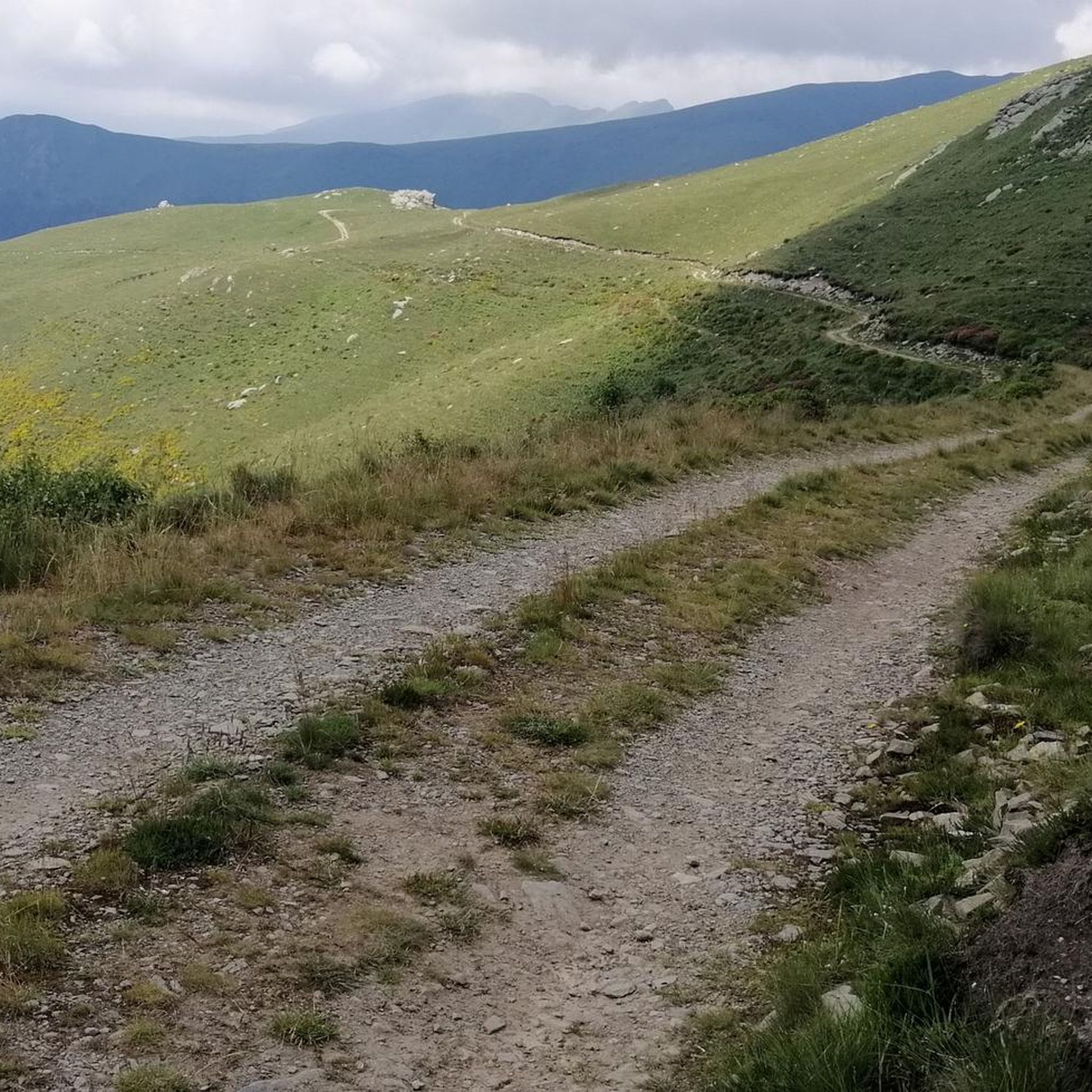

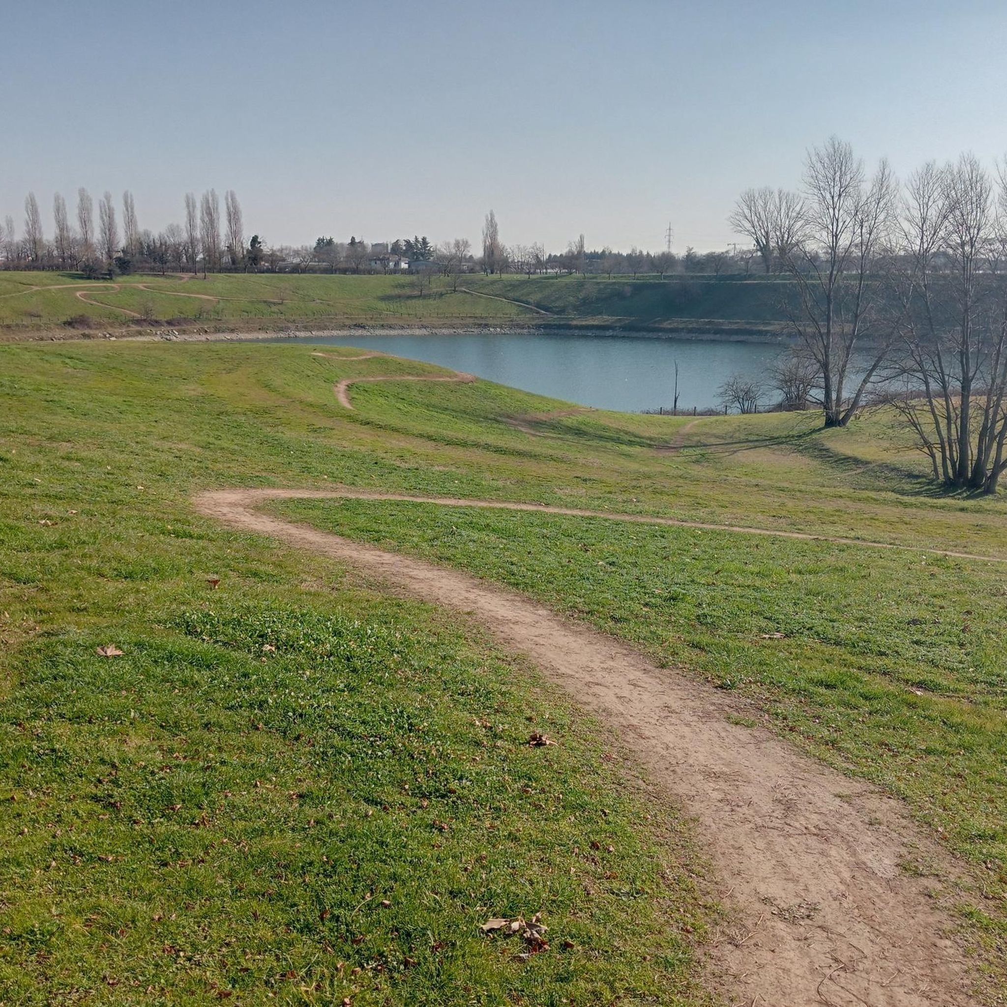
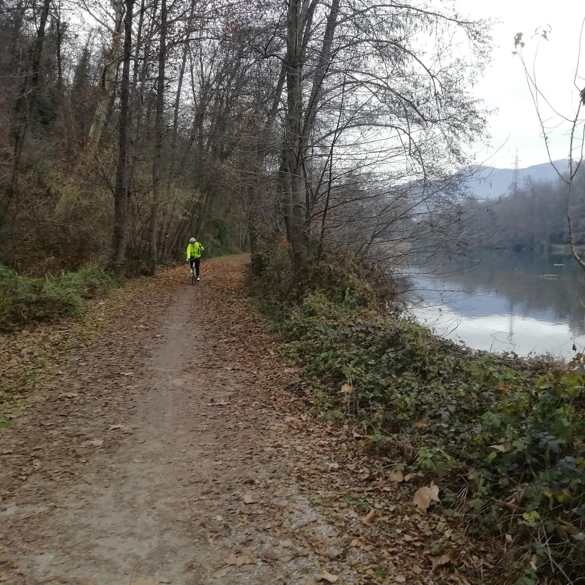
Tips from the Community

The Ciclovia dell'alzaia del Canale Villoresi is a flat, almost entirely dedicated cycle-pedestrian path of about 85-90 km, connecting the Ticino river (Panperduto dams, Somma Lombardo) to the Adda river (Groppello). It crosses Brianza and the northern area of Milan, ideal for cycle touring, gravel/MTB bikes, and walks.
0
0

Park entrance
0
0
Unfortunately the button for the cycle/pedestrian crossing is still broken
0
0

Great place to run away from traffic
0
0

Unmaintained path and tall grass
0
0

The Villoresi towpath in this stretch crosses a countryside area still in fair condition, although here too the rows have been massacred by indiscriminate cuts and the network of canals is already degraded. The ground is hard and can be walked comfortably even after rain.
0
0


it's a perfect cycle path!
2
0
Frequently Asked Questions
How many hiking trails are available around Caponago?
There are over 350 hiking trails around Caponago, offering a wide variety of options for all skill levels. More than 210 of these routes are considered easy, making them accessible for casual walkers and families.
Are there easy hiking trails suitable for beginners or families in Caponago?
Yes, Caponago offers many easy hiking trails, with over 210 routes categorized as such. The paths along the Villoresi Canal are particularly well-suited for leisurely strolls and family outings, as they are generally flat and accessible. An example is the Hiking loop from Agrate Brianza, an easy 4.7-mile path through rural landscapes.
What kind of terrain can I expect on hikes around Caponago?
The terrain around Caponago is generally flat, especially along the Villoresi Canal towpaths. While many routes offer minimal elevation gain, the surrounding areas provide a range of difficulties, from easy walks to moderate paths. You'll primarily encounter green spaces and rural scenery, characteristic of the Lombardy plains.
Are there any circular hiking routes near Caponago?
Yes, there are several circular hiking routes. A popular option is the Towpath of the Villoresi Canal loop from Pessano con Bornago, which is a 6.1-mile moderate trail. Another is the Hiking loop from Carugate, a 4.1-mile easy route through local green spaces.
What are the best seasons for hiking in Caponago?
The best seasons for hiking around Caponago are typically spring and autumn when the weather is mild and pleasant. These seasons offer comfortable temperatures for exploring the green spaces and rural scenery without the intense heat of summer or the chill of winter.
Are dogs allowed on the hiking trails in Caponago?
While specific regulations can vary, generally, dogs are welcome on many of the trails around Caponago, especially on the open paths along the Villoresi Canal. It's always recommended to keep dogs on a leash and clean up after them to ensure a pleasant experience for all hikers.
What are some notable natural features or landmarks I might see while hiking?
The most significant natural feature is the Villoresi Canal, which forms the backbone of many hiking routes. While traditional historical monuments are not heavily emphasized directly on the paths, you can explore nearby attractions such as Increa Park or the Laghetto of the Royal Villa of Monza, which offer pleasant natural settings.
What do other hikers enjoy most about the trails around Caponago?
The trails around Caponago are highly rated by the komoot community, with an average score of 4.4 stars from over 500 reviews. Hikers often praise the accessible towpaths along the Villoresi Canal, the peaceful rural scenery, and the variety of routes suitable for different skill levels, from easy strolls to moderate excursions.
Are there any longer or more challenging routes for experienced hikers?
While many routes are easy to moderate, Caponago does offer some longer options. For example, the Bridge over the Villoresi Canal loop from Carugate is a moderate 9-mile (14.5 km) trail. There are also a few routes categorized as difficult, providing options for those seeking a greater challenge, though these are less common than the easier paths.
Is public transport available to access hiking trailheads near Caponago?
Caponago is located in Lombardy, Italy, and generally has good regional connectivity. While specific public transport options to individual trailheads can vary, the area's accessibility suggests that some routes, particularly those closer to towns like Pessano con Bornago or Agrate Brianza, may be reachable via local bus services. It's advisable to check local transport schedules for specific starting points.
Are there places to eat or drink near the hiking trails in Caponago?
While the immediate hiking paths, especially along the Villoresi Canal, focus on natural and rural scenery, the towns and villages surrounding Caponago, such as Pessano con Bornago, Agrate Brianza, and Carugate, offer various cafes, restaurants, and shops where hikers can find refreshments and meals.
What is the typical duration for a hike around Caponago?
The duration of hikes around Caponago varies significantly depending on the route's length and your pace. Easy trails like the Hiking loop from Carugate can be completed in about 1 hour 40 minutes, while moderate routes such as the Towpath of the Villoresi Canal loop from Pessano con Bornago typically take around 2 hours 28 minutes.
Most popular attractions around Caponago

Get inspired with the komoot mobile app


Explore more
Browse the best Hikes in other regions.
