The best walks and hikes around Lardirago
4.2
(260)
1,756
hikers
132
hikes
Hiking around Lardirago offers routes through flat plains and along riverine paths, characteristic of the Lombardy region. The area features a network of trails connecting urban green spaces with surrounding agricultural lands. Elevation changes are generally minimal, making many routes accessible. The landscape primarily consists of open fields, local parks, and paths near waterways.
Best hiking trails around Lardirago
- The most popular hiking route is Vernavola Park loop from San Genesio ed Uniti, an easy 4.8 miles (7.7 km)…
Last updated: July 1, 2026
3.6
(25)
72
hikers
7.75km
01:58
20m
20m
Easy hike. Great for any fitness level. Easily-accessible paths. Suitable for all skill levels.
3.7
(18)
63
hikers
6.71km
01:42
20m
20m
Easy hike. Great for any fitness level. Easily-accessible paths. Suitable for all skill levels.

Sign up for free
5.0
(1)
11
hikers
5.68km
01:26
10m
10m
Easy hike. Great for any fitness level. Easily-accessible paths. Suitable for all skill levels.
9
hikers
5.60km
01:25
10m
10m
Easy hike. Great for any fitness level. Easily-accessible paths. Suitable for all skill levels.
4.0
(1)
4
hikers
4.51km
01:08
10m
10m
Easy hike. Great for any fitness level. Easily-accessible paths. Suitable for all skill levels.
Get access to more routes and recommendations from other explorers.
Sign up for free
Already have an account?
Our route recommendations are based on thousands of hikes, rides, and runs completed by other people on komoot.
Start today with a free account
Your next adventure awaits.
Login or Signup


Tips from the Community

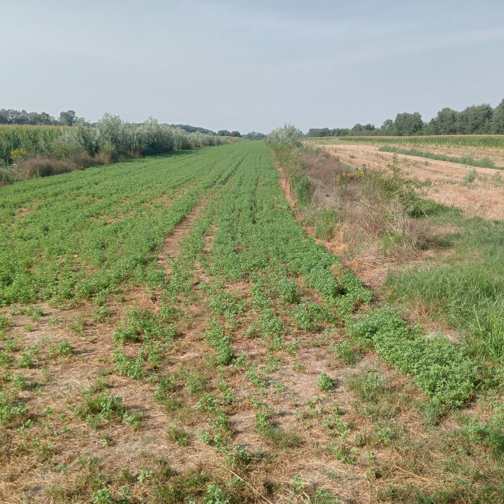
A fantastic dirt bike path that could be explored later, perhaps with greenery and without the puddles that were present today.
0
0

Vernavola Park is a protected natural area and wildlife sanctuary located in the municipality of Pavia, its largest green space. The park, covering approximately 35 hectares, takes its name from the Roggia Vernavola, a small watercourse approximately 15 km long and a tributary of the Ticino River, which meanders through the park. Established in 1985 and recognized by the Lombardy Region as a nature reserve within the Lombardy Ticino Valley Park, the park has been expanded in subsequent years and equipped with a children's playground, bike paths, and benches. It is home to a riding stable and the Colombara farmhouse, where visitors can observe farm animals and a small museum on rural life. During the winter months (2008), a water meadow ecosystem was recreated in the area between the farmhouse and the canal.
0
0
Vernavola Park is a protected natural area and wildlife sanctuary located in the municipality of Pavia, its largest green space. The park, covering approximately 35 hectares, takes its name from the Roggia Vernavola, a small watercourse approximately 15 km long and a tributary of the Ticino River, which meanders through the park. Established in 1985 and recognized by the Lombardy Region as a nature reserve within the Lombardy Ticino Valley Park, the park has been expanded in subsequent years and equipped with a children's playground, bike paths, and benches. It is home to a riding stable and the Colombara farmhouse, where visitors can observe farm animals and a small museum on rural life. During the winter months (2008), a water meadow ecosystem was recreated in the area between the farmhouse and the canal.
0
0

Typical place of the Lombardy plain in a protected and easy path. Accessible to everyone.
0
0

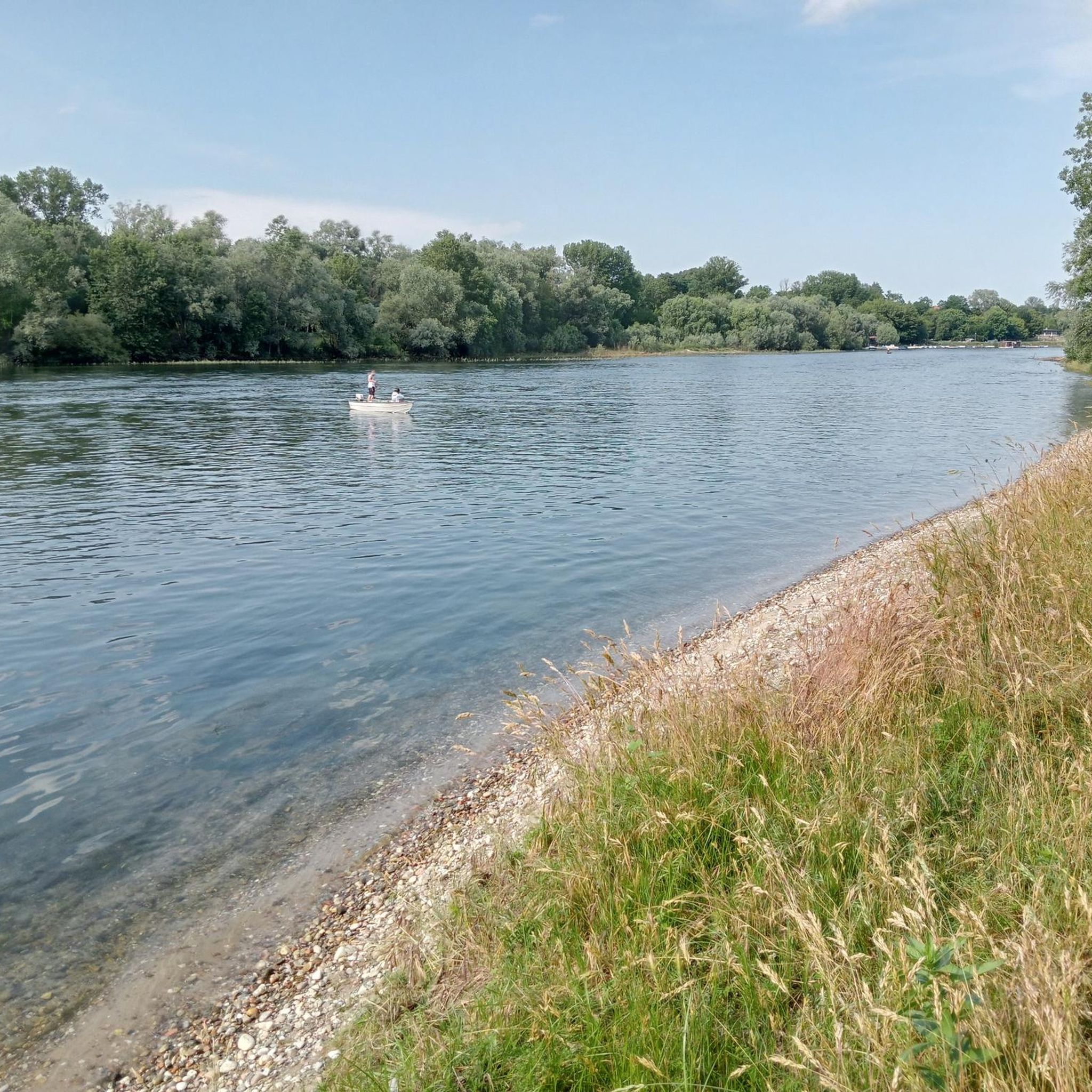
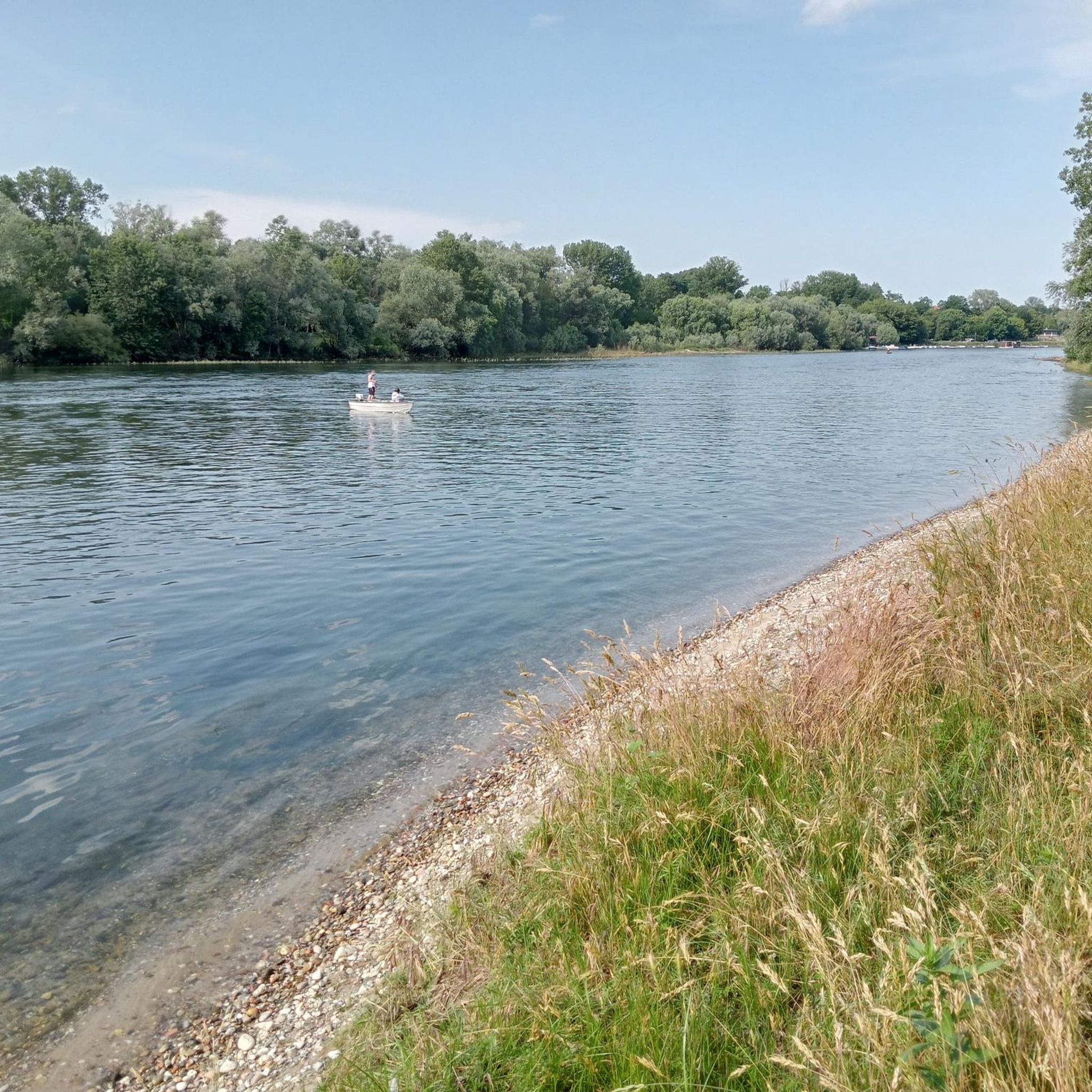
In this small city park there are some paths perfect for walking or cycling in complete tranquility in the urban greenery. The park is crossed by the Vernavola canal, and there is also a small pond.
0
0

The lake is part of a small nature reserve and is used by ducks, herons and other animals to be able to take refuge and reproduce undisturbed.
2
0
Frequently Asked Questions
How many hiking trails are available around Lardirago?
There are over 115 hiking trails around Lardirago, offering a wide range of options for different skill levels. The area is known for its flat plains, riverine paths, and urban green spaces, making it accessible for many.
What is the general terrain like for hiking in Lardirago?
Hiking around Lardirago is characterized by flat plains and paths along waterways, typical of the Lombardy region. You'll find routes connecting urban green spaces with surrounding agricultural lands, with minimal elevation changes. The landscape primarily features open fields, local parks, and riverbanks.
Are there easy hikes suitable for beginners or families?
Yes, Lardirago offers a significant number of easy hikes, with over 80 routes classified as easy. These are ideal for beginners or families looking for a relaxed outing. An example is the Hiking loop from Pavia, an easy 4.2-mile (6.7 km) path exploring areas near the city.
Can I find circular hiking routes in the Lardirago area?
Many of the trails around Lardirago are designed as circular routes, perfect for starting and ending your hike in the same location. For instance, the Vernavola Park loop from San Genesio ed Uniti is an easy 4.8-mile (7.7 km) trail that winds through a local park.
What do other hikers say about the trails in Lardirago?
The hiking trails in Lardirago are highly regarded by the komoot community, holding an average rating of 4.4 stars from over 200 reviews. Hikers often praise the accessibility, the pleasant riverine paths, and the opportunity to explore both natural and urban green spaces.
Are dogs allowed on the hiking trails around Lardirago?
Generally, dogs are welcome on most hiking trails in the Lardirago area, especially on the flat plains and riverine paths. It's always advisable to keep your dog on a leash, particularly in urban parks or near agricultural areas, and to check for specific local regulations if entering nature reserves.
What are some notable landmarks or attractions I can see near the hiking routes?
The Lardirago area is rich in points of interest. Along or near some routes, you can discover historical and natural landmarks. Consider visiting the iconic Ponte Coperto (the Covered Bridge) in Pavia, or the impressive Certosa of Pavia (Charterhouse of Pavia). For natural beauty, the Ponte della Becca offers scenic views where the Ticino and Po rivers meet.
What is the best time of year to go hiking in Lardirago?
The best times for hiking in Lardirago are typically spring (April to June) and autumn (September to October) when the weather is mild and pleasant. Summer can be warm, but the flat terrain and river proximity can still offer enjoyable walks, especially in the mornings or late afternoons. Winter hikes are also possible due to the minimal elevation.
Are there any moderate hiking options for more experienced hikers?
Yes, while many routes are easy, Lardirago also offers 36 moderate trails for those seeking a slightly longer or more challenging experience. An example is the Hiking loop from University of Pavia, a 6.1-mile (9.8 km) trail that leads through urban green spaces and local surroundings.
Is public transport available to reach hiking trailheads near Lardirago?
Given Lardirago's proximity to Pavia, many trailheads are accessible via local public transport, including buses. Routes often start from urban centers like Pavia or nearby towns, making it convenient to reach them without a car. It's recommended to check local bus schedules for specific starting points.
Where can I find parking for hiking trails in Lardirago?
Parking is generally available near the starting points of many trails, especially those originating from towns or urban parks. You can often find public parking lots in Pavia or smaller villages like San Genesio ed Uniti, which serve as common access points for the region's hiking routes. Always check local signage for parking regulations.
Are there any trails that offer views of rivers or water features?
Absolutely. The Lardirago area is characterized by its riverine paths. Many routes follow the banks of the Ticino and Po rivers, offering pleasant views of the water. The Covered Bridge (Pavia) – Statue of the Washerwoman loop from Collegio Ghislieri is a longer moderate route that includes scenic sections along the river.
Most popular routes around Lardirago
Most popular attractions around Lardirago

Get inspired with the komoot mobile app


Explore more
Browse the best Hikes in other regions.
