The best road cycling routes around Zerbolò
4.0
(477)
9,315
riders
250
rides
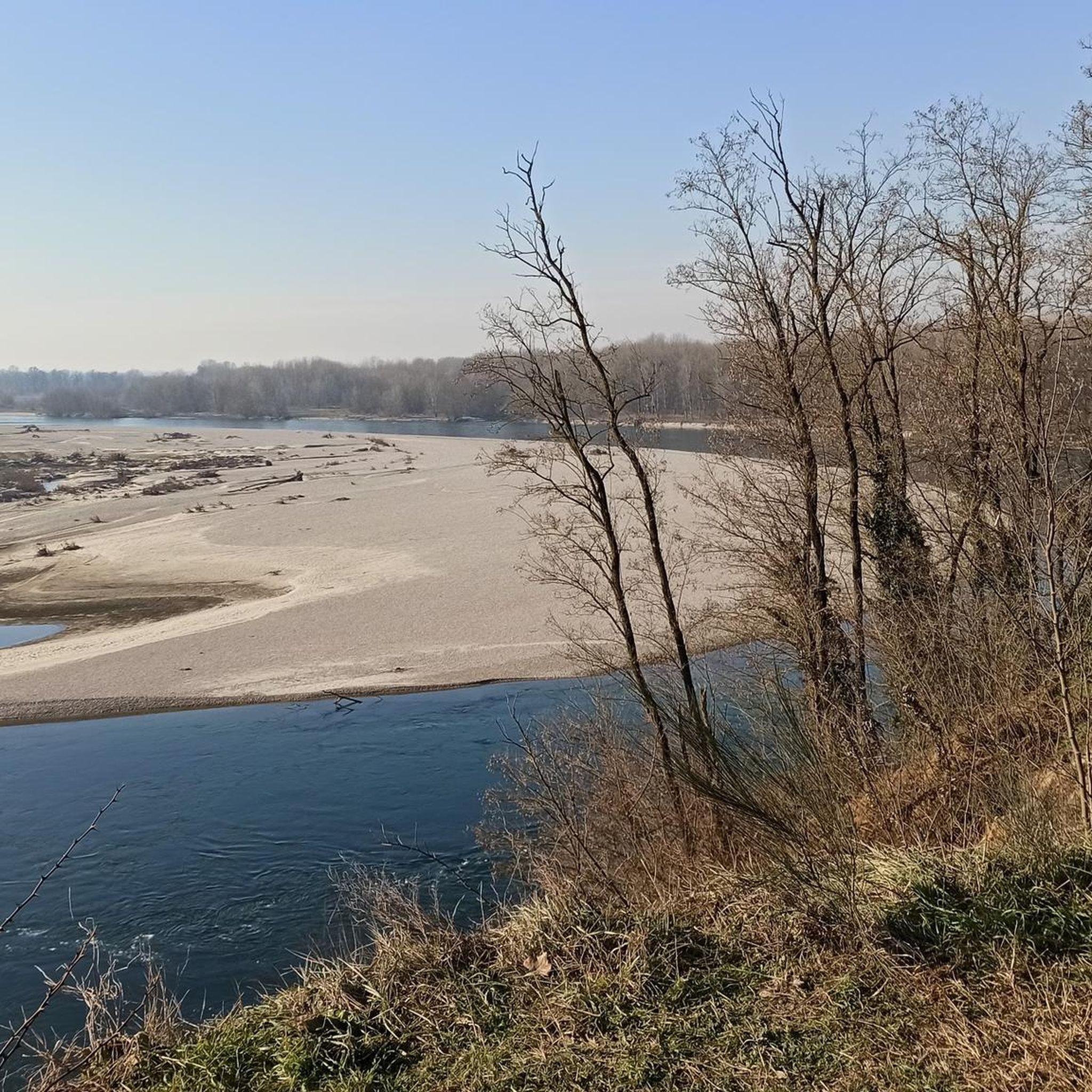
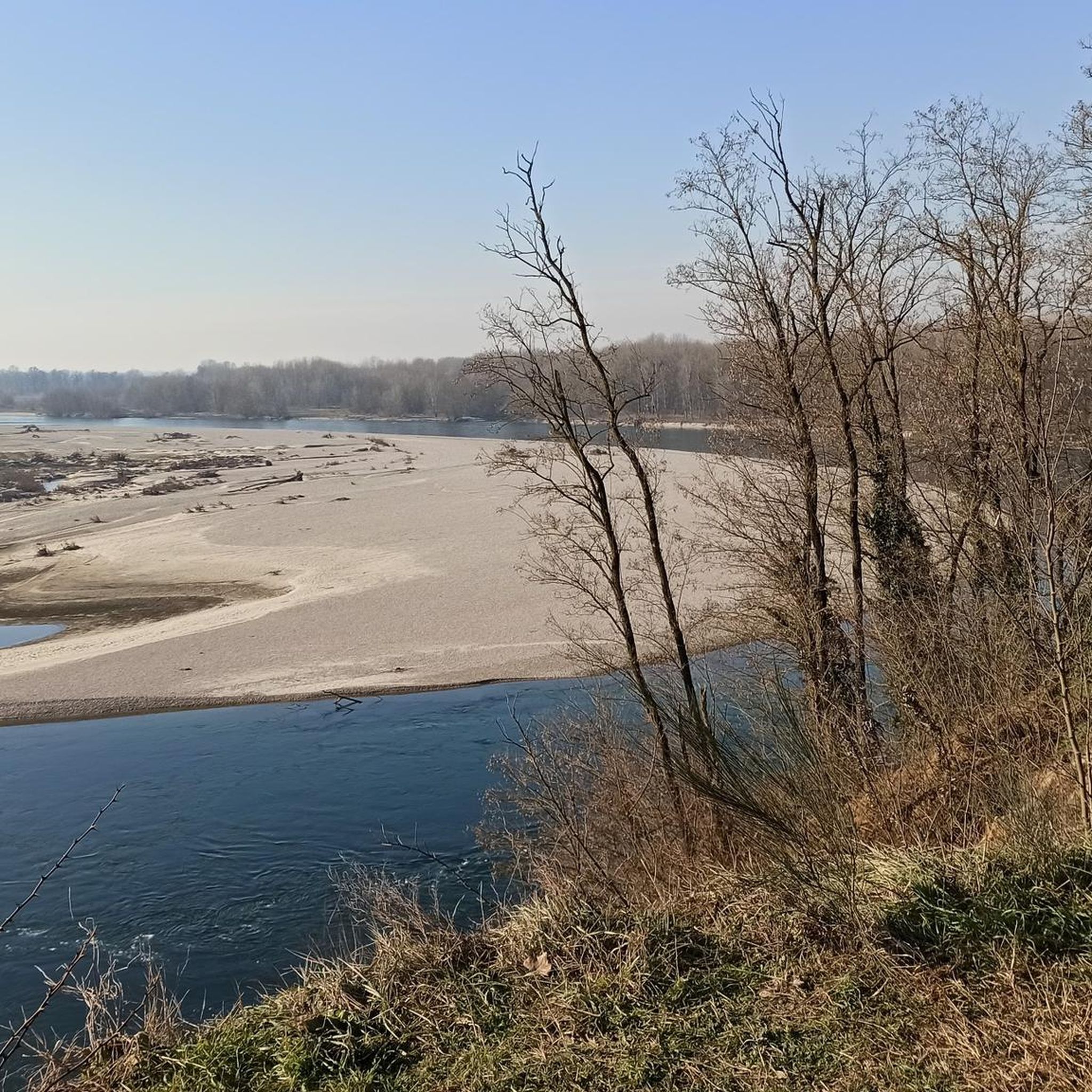
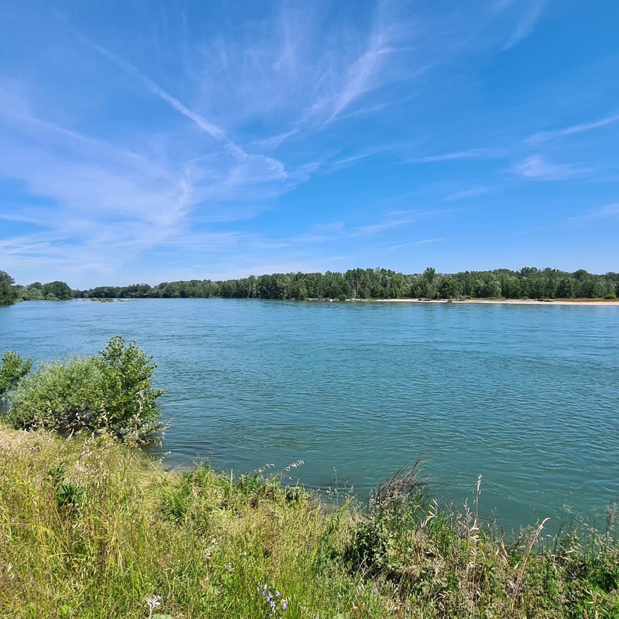
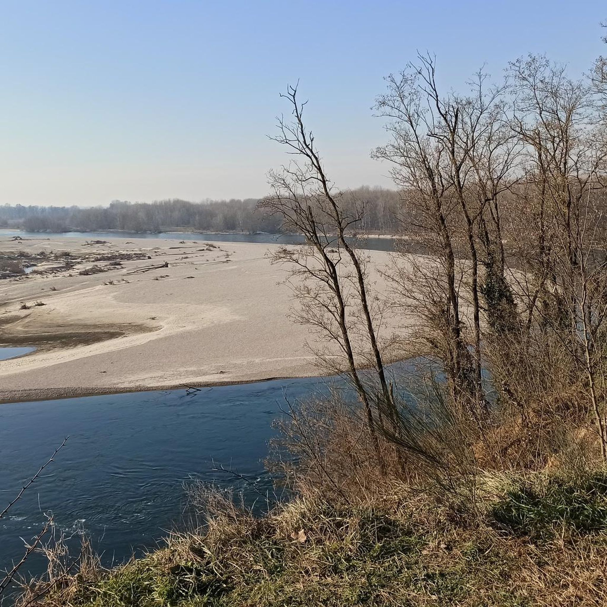
Road cycling routes around Zerbolò are characterized by flat, agricultural terrain within the Ticino Park. The region features expansive plains intersected by irrigation canals and riverine paths along the Ticino River. This landscape provides routes with minimal elevation changes, suitable for steady pacing and enjoying the rural scenery. The area also includes shaded forest sections of oak and hornbeam.
Best road cycling routes around Zerbolò
- The most popular road cycling route is Country Road Near Bereguardo – Church of San…
Last updated: July 2, 2026
3.0
(1)
26
riders
33.8km
01:19
60m
60m
Easy road ride. Great for any fitness level. Mostly well-paved surfaces and easy to ride.
24
riders
62.4km
02:28
100m
100m
Moderate road ride. Good fitness required. Some segments of this route may be unpaved and difficult to ride.

Sign up for free
16
riders
Easy road ride. Great for any fitness level. Mostly well-paved surfaces and easy to ride.
9
riders
33.8km
01:17
60m
60m
Easy road ride. Great for any fitness level. Mostly well-paved surfaces and easy to ride.
12
riders
Moderate road ride. Good fitness required. Mostly well-paved surfaces and easy to ride.
Get access to more routes and recommendations from other explorers.
Sign up for free
Already have an account?
Our route recommendations are based on thousands of hikes, rides, and runs completed by other people on komoot.
Start today with a free account
Your next adventure awaits.
Login or Signup

Tips from the Community

The former Church of San Bernardo in Morimondo (MI) is a building of medieval origin dating back to the 12th century. Located in Via Roma, 8, at the entrance to the historic center, it is a private and currently deconsecrated structure, which preserves the original flat apse and a Lombard terracotta bell tower. The building, which once served as the parish church for the settlement under the guidance of the monks, has a single-nave layout heavily renovated at the end of the 17th century. Today, the former church is one of the first evocative stops in the village and overlooks the cobblestones leading to the nearby and more famous Abbey of Santa Maria di Morimondo. Together with the surrounding rural dwellings, it forms a picturesque view greatly appreciated by visitors exploring the area.
0
0
The Church of San Siro is the main place of worship in the municipality of the same name in the province of Pavia, belonging to the Diocese of Vigevano. Built between 1729 and 1732 on the remains of a 13th-century chapel, it features an elegant Greek cross plan in the late Baroque style, enriched by 18th-century canvases by the painter Carlo Antonio Bianchi from Pavia.
0
0
Church of Saint George the Martyr, located in the charming rural village of Fallavecchia (part of the municipality of Morimondo, in the province of Milan)
0
0
The fields and rice paddies near Noviglio can periodically be flooded due to heavy rainfall or normal irrigation and agricultural channel management operations. These floods generally concentrate near the local cycle paths and rural roads—such as those of the Sprint delle Risaie di Cantalupo on Komoot—which follow the course of local canals. The area is part of a region with an extensive irrigation network, making the fields close to the embankments easily prone to waterlogging during the rainier months and the sowing season.
0
0
The Parco Lombardo della Valle del Ticino is crossed not by a single canal, but by a complex and historic hydraulic network. The main ones are the Canale Villoresi and the Panperduto (Somma Lombardo).
0
0

A real surprise: a cycle path that is a straight stretch but is still nice to ride. Very wide, it allows you to cycle without problems with any type of bike
1
0
The Lombardo Park of the Ticino Valley is the oldest regional park in Italy, established in 1974, and represents the first river park in Europe. With an area of approximately 91,800 hectares, it develops entirely in Lombardy, running along the Ticino River from Lake Maggiore (Sesto Calende) to its confluence with the Po River (Pavia), crossing as many as 47 municipalities in the provinces of Milan, Pavia, and Varese. Together with its twin, the Piedmontese Natural Park of the Ticino Valley, it forms the largest protected river area on the continent, also recognized as a MAB UNESCO Biosphere Reserve.
0
0
How nice a fountain in a shady area. The cyclist's delight.
0
0
Frequently Asked Questions
What is the general terrain like for road cycling around Zerbolò?
The Zerbolò area is characterized by mostly flat, agricultural terrain within the Ticino Park. You'll find expansive plains, rice and corn fields, and numerous irrigation canals. This landscape offers routes with minimal elevation changes, perfect for steady pacing and enjoying the rural scenery.
Are there many road cycling routes to choose from in Zerbolò?
Yes, Zerbolò offers a wide variety of road cycling options. There are over 260 road cycling routes available, catering to different preferences and skill levels.
What kind of natural features can I expect to see on road cycling routes in Zerbolò?
Road cycling routes in Zerbolò often wind through the protected Ticino Park, featuring riverine paths along the Ticino River, diverse wildlife, and rich biodiversity. You'll also encounter forests of oak and hornbeam, providing shaded sections and a change of scenery. Keep an eye out for the Ticino River itself, and specific highlights like the Stork Nests in Cascina Venara.
Are there any historical landmarks or attractions along the road cycling routes?
Absolutely. Cyclists can discover historical buildings such as the beautiful parish church of San Bartolomeo, the small castle of Parasacco, and Palazzo Bozzi Pietra. A notable landmark is the Bereguardo Pontoon Bridge, one of Italy's last functioning examples of its kind. Many routes also connect to the iconic Ponte Coperto of Pavia.
What is the best time of year for road cycling in Zerbolò?
The spring and autumn months are generally ideal for road cycling in Zerbolò. The weather is typically mild and pleasant, making for comfortable rides through the agricultural plains and along the river. Summer can be hot, while winter might be chilly, though the flat terrain remains accessible year-round.
Are there easy road cycling routes suitable for beginners or families?
Yes, Zerbolò offers many easy road cycling routes, perfect for beginners or families. The flat terrain and well-paved surfaces make for enjoyable rides. An example is the Dorno loop from Gropello Cairoli, which is an easy 20.2 km path.
What do other road cyclists enjoy most about the routes in Zerbolò?
The road cycling routes in Zerbolò are highly rated by the komoot community, with an average score of 4.0 stars from over 370 reviews. Cyclists often praise the tranquil rural scenery, the minimal elevation changes that allow for steady rides, and the opportunity to explore both natural beauty within the Ticino Park and historical landmarks.
Are there any long-distance or more challenging road cycling routes available?
While many routes are easy, there are also moderate and some difficult options for those seeking longer distances or more challenging rides. For example, the Castello di Valeggio – Dosso of Lomellina loop from Gropello Cairoli is a moderate 67 km route that offers a longer exploration of the area.
Can I find circular road cycling routes around Zerbolò?
Yes, many of the road cycling routes around Zerbolò are designed as loops, allowing you to start and end at the same point. This makes planning your ride convenient. An example is the Pontoon Bridge over the Ticino – Bereguardo Pontoon Bridge loop from Bereguardo.
Where can I park my car when going road cycling in Zerbolò?
Zerbolò and its surrounding towns offer various parking options. Given the low population density, finding suitable parking in or near the starting points of routes is generally straightforward, especially in smaller villages or designated areas. Specific parking details can often be found within individual route descriptions on komoot.
Are there cafes or restaurants along the road cycling routes in Zerbolò?
Yes, many routes pass through or near small towns and villages where you can find cafes and restaurants to refuel. The region's connection to the broader Pavia cycling network also means access to amenities in larger towns. Planning your route with komoot allows you to identify potential stops along the way.
What is a popular easy road cycling route that includes historical sights?
A popular easy route is the Country Road Near Bereguardo – Church of San Lanfranco, Pavia loop from Casottole. This 32 km trail takes about 1 hour 15 minutes and passes by historical churches and through serene rural landscapes, offering a blend of culture and nature.
Are there routes that offer views of the Ticino River and connect to Pavia?
Yes, a great option for this is the Borgo Tre Case – Pavia Covered Bridge loop from Carbonara al Ticino. This easy 32.5 km path provides beautiful views of the Ticino River and directly connects to the iconic Ponte Coperto of Pavia, allowing you to experience both natural beauty and urban history.
Most popular attractions around Zerbolò

Get inspired with the komoot mobile app


Explore more
Browse the best Road cycling routes in other regions.
