The best walks and hikes around Pancarana
4.7
(43)
219
hikers
35
hikes
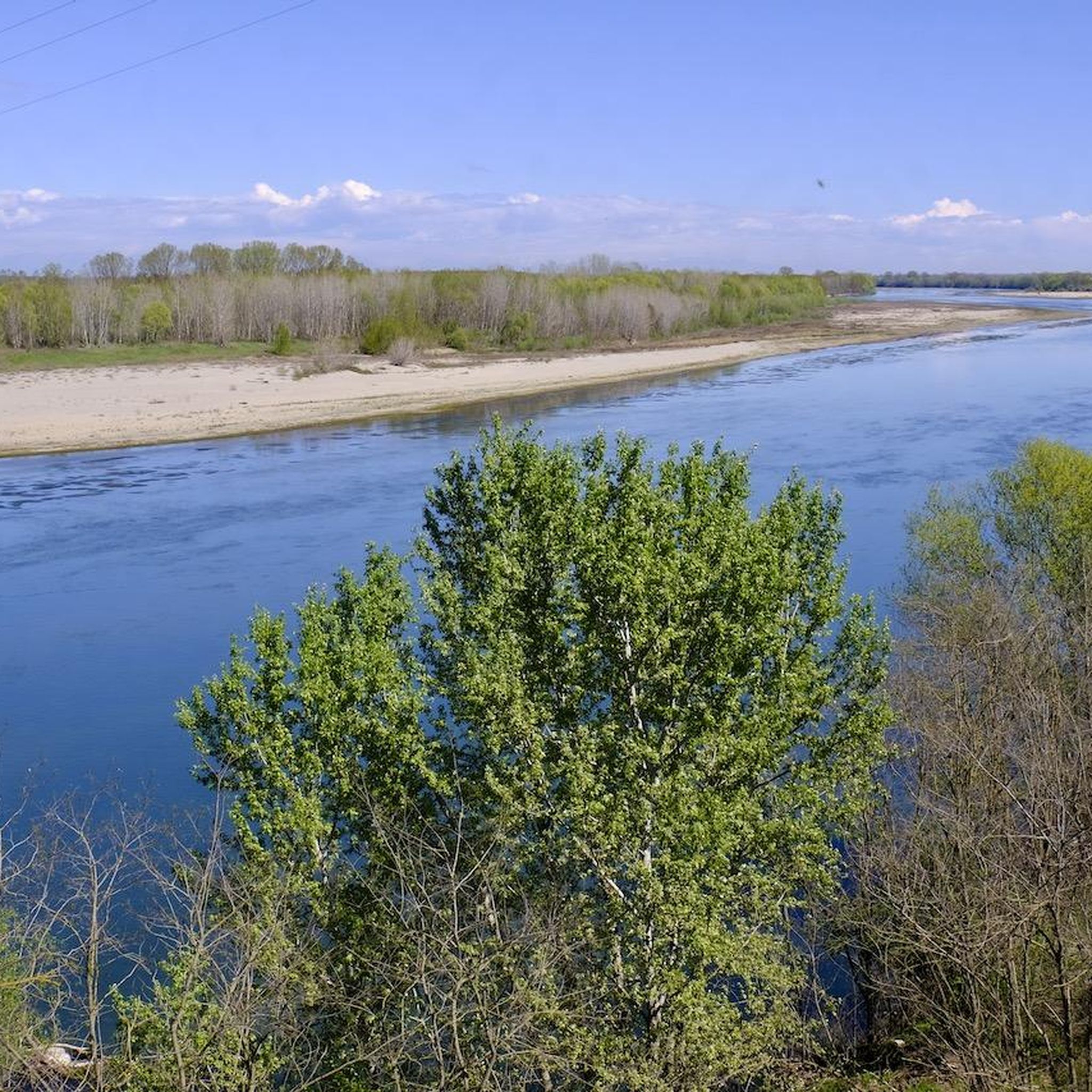
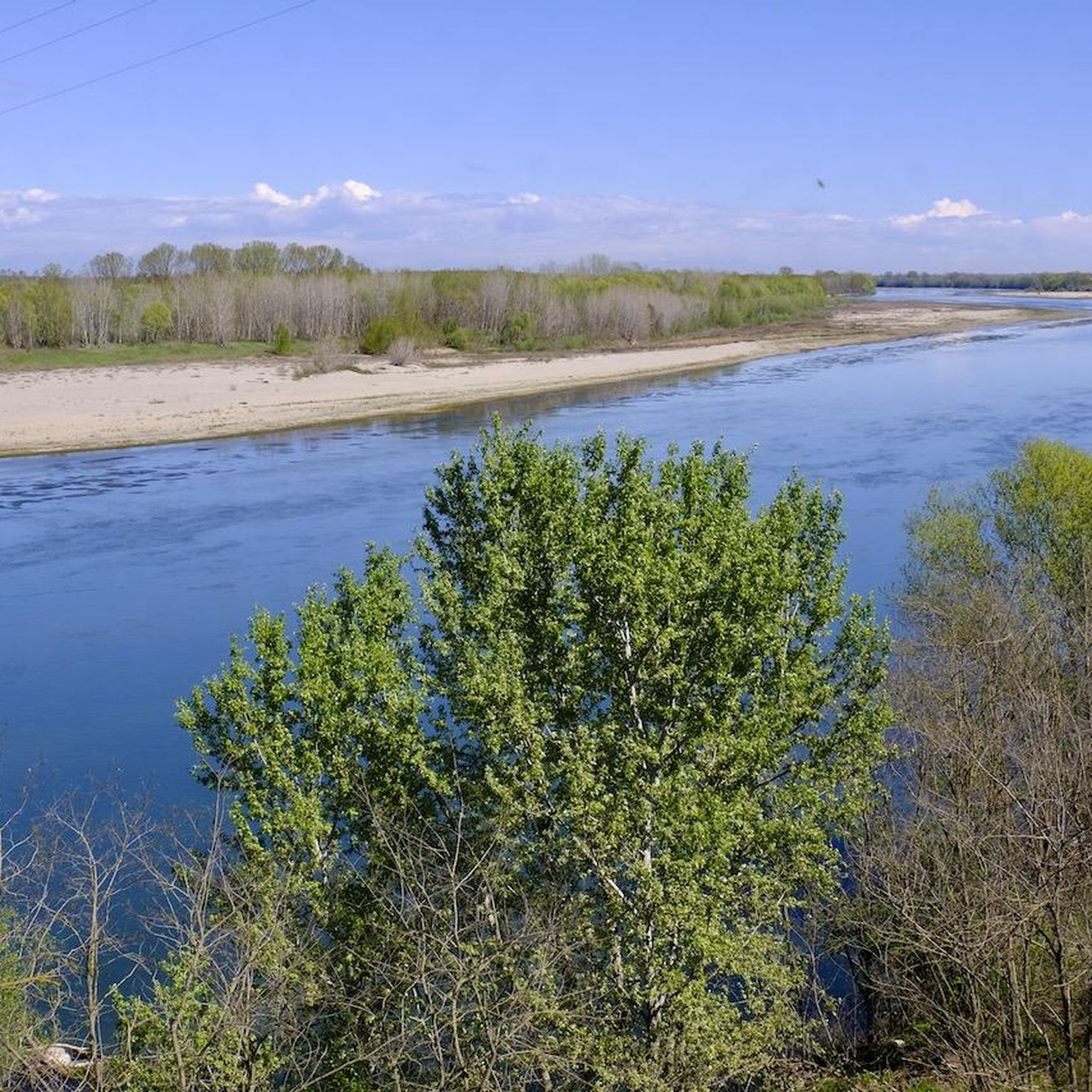
Hiking around Pancarana reveals a landscape characterized by the flat plains of the Po Valley, interspersed with agricultural fields and gentle riverine environments. The region offers a network of trails, primarily featuring low elevation gains and open vistas. These routes provide opportunities to explore local towns and natural areas like ponds and cultivated lands.
Best hiking trails around Pancarana
- The most popular hiking route is Guglielmo Marconi Square – Garibaldi Monument loop from Voghera, a 5.9 miles (9.5 km)…
Last updated: October 4, 2026
5.0
(1)
15
hikers
Moderate hike. Good fitness required. Easily-accessible paths. Suitable for all skill levels.
4.5
(4)
8
hikers
Hard hike. Very good fitness required. Easily-accessible paths. Suitable for all skill levels.

5.0
(1)
5
hikers
3.10km
00:47
0m
0m
Easy hike. Great for any fitness level. Easily-accessible paths. Suitable for all skill levels.
11
hikers
5.31km
01:21
10m
10m
Easy hike. Great for any fitness level. Easily-accessible paths. Suitable for all skill levels.
4.4
(5)
16
hikers
25.7km
06:36
110m
110m
Hard hike. Very good fitness required. Easily-accessible paths. Suitable for all skill levels.
Get access to more routes and recommendations from other explorers.
Already have an account?
Our route recommendations are based on thousands of hikes, rides, and runs completed by other people on komoot.
Start today with a free account
Your next adventure awaits.

Tips from the Community

Gate to the church square from the south
0
0

Small church located on top of a hill reachable via a steep dirt road
0
0

This cycle path is beautiful. We need more structures like this.
17
0

View of the ravines from a beautiful asphalt road.
0
0

Well designed and well maintained route, always in a protected area and with wonderful views of the Oltrepo hills
1
0

Small church hidden in the hills, it is really little known, discovered thanks to a friend
0
0

The Oltrepò Pavese is a vast geographical area south of the Po, in the province of Pavia. Vineyards of red and white grapes reign in this varied territory, where numerous villages with enchanting charm are located and there is an abundance of options for lovers of DOC wine.
2
0

also suitable for reaching the high hill above Salice Terme
1
0
Frequently Asked Questions
How many hiking trails are available around Pancarana?
There are over 25 hiking trails around Pancarana, offering a variety of options for different skill levels. The komoot community has rated these routes with an average of 4.7 stars.
Are there easy hiking trails suitable for beginners in Pancarana?
Yes, Pancarana offers several easy hiking trails. For instance, the Stagni di Lungavilla loop from Lungavilla is an easy 3.1 km path that takes approximately 47 minutes, offering views of local ponds.
What is the best time of year for hiking in Pancarana?
Given Pancarana's location in the Po Valley with low elevation gains, hiking is generally pleasant from spring through autumn. The open vistas and agricultural landscapes are particularly beautiful during these seasons. Winter hiking is also possible, but trails might be muddy or foggy.
Are there any circular walks available in Pancarana?
Many of the trails around Pancarana are designed as circular routes. Examples include the popular Guglielmo Marconi Square – Garibaldi Monument loop from Voghera and the shorter Stagni di Lungavilla loop from Lungavilla.
What kind of terrain can I expect on Pancarana hiking trails?
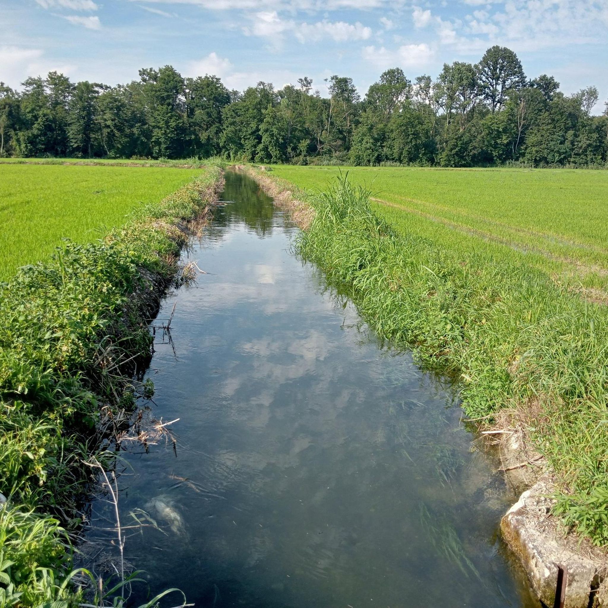
The terrain around Pancarana is characterized by the flat plains of the Po Valley. You can expect to hike through agricultural fields, along gentle riverine environments, and past local ponds. Elevation gains are generally low, providing open vistas across the cultivated lands.
Are there any family-friendly hiking options in Pancarana?
Yes, the region's generally flat and easy trails are well-suited for families. The Stagni di Lungavilla loop from Lungavilla is a short and easy option perfect for a family outing.
What are some notable landmarks or attractions to see while hiking near Pancarana?
While hiking near Pancarana, you can explore various points of interest. Consider visiting the Cathedral of Saint Lawrence or walking along sections of the Greenway Voghera–Varzi. The Ponte della Gerola is another interesting historical bridge in the area.
Are there any advanced or longer hiking routes for experienced hikers?
Yes, for more experienced hikers, there are longer and more challenging routes. The Salice Terme train station – Salice Terme Cycle Path loop from Voghera is a difficult 25.7 km trail that can take over 6 hours to complete, leading through varied terrain.
Is public transport available to access hiking trails in Pancarana?
Access to trails often depends on their starting points. Some routes, like the Salice Terme train station – Salice Terme Cycle Path loop from Voghera, begin near train stations, suggesting public transport access to those specific trailheads. For other routes, local bus services or personal transport might be necessary.
What do other hikers enjoy most about hiking in Pancarana?
The area is highly rated by the komoot community, with an average score of 4.7 stars from over 20 reviews. Hikers often praise the peaceful agricultural landscapes, the gentle riverine environments, and the variety of trails suitable for different abilities.
Are there any trails with good viewpoints in Pancarana?
While Pancarana is characterized by flat plains, many trails offer open vistas across the cultivated lands and riverine environments. These provide expansive views of the Po Valley landscape, especially during sunrise or sunset.
What should I wear for hiking in Pancarana?
Given the flat terrain and open fields, comfortable walking shoes are essential. Depending on the season, layers are recommended, as the open plains can be exposed to sun or wind. A hat and sunscreen are advisable during warmer months due to the lack of extensive tree cover.
Most popular routes around Pancarana
Most popular attractions around Pancarana

Get inspired with the komoot mobile app


Explore more
Browse the best Hikes in other regions.
