The best walks and hikes around Saaldorf-Surheim
4.3
(45)
334
hikers
46
hikes
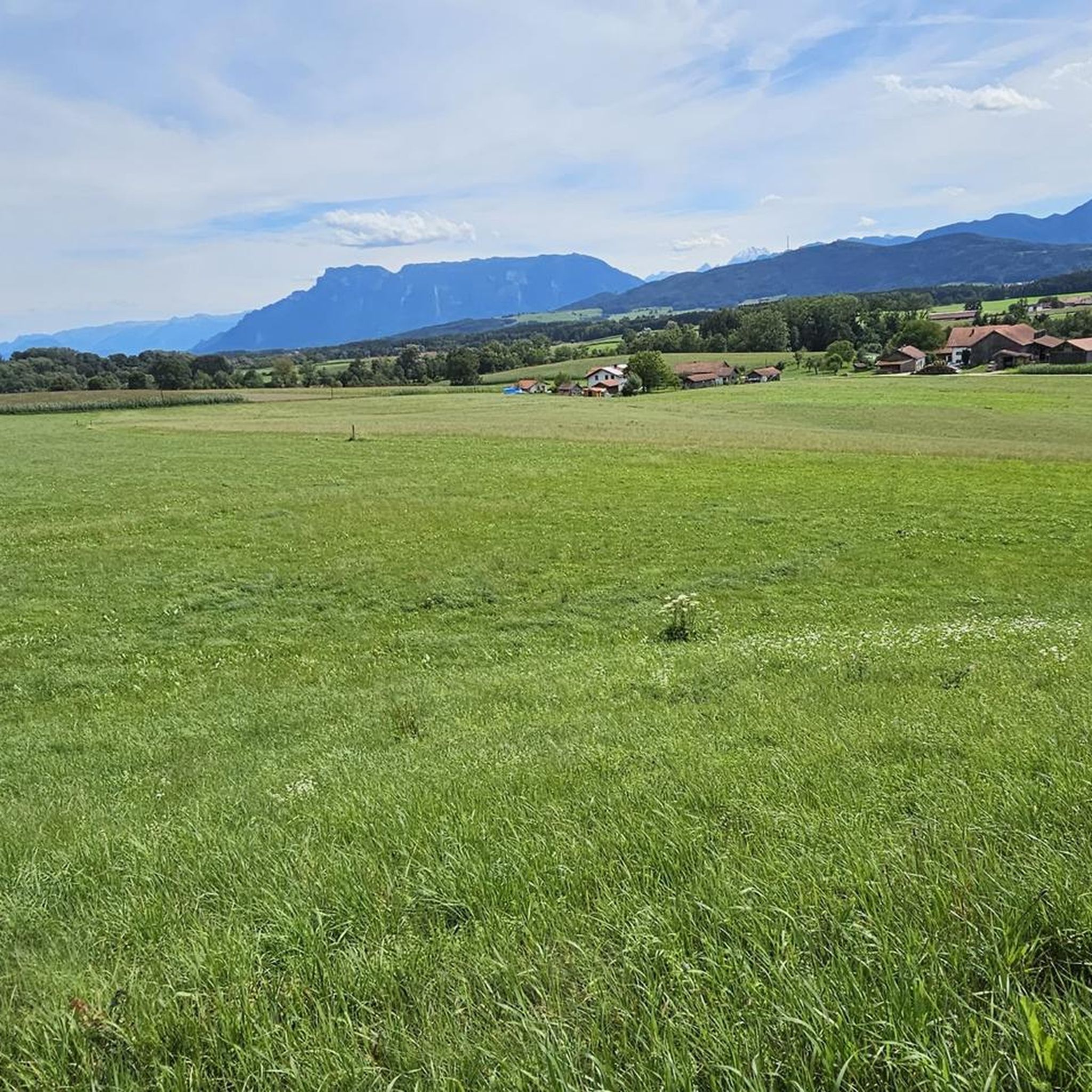
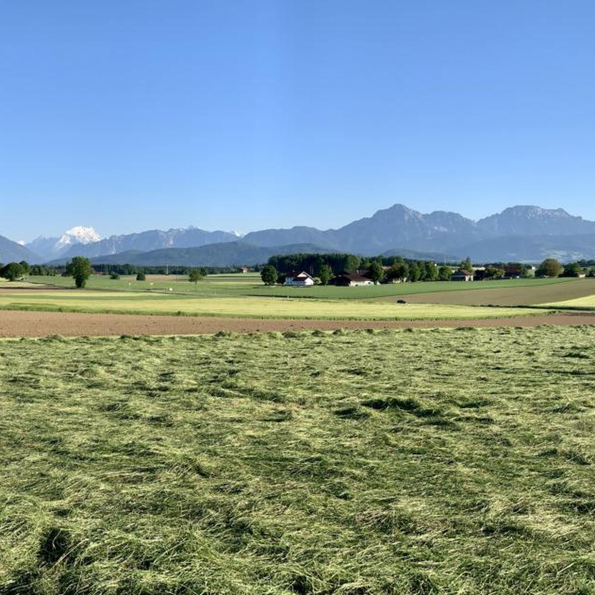
Hiking around Saaldorf-Surheim offers diverse landscapes in the Berchtesgadener Land district of Bavaria. The region is characterized by the Saalach and Sur rivers, which provide serene paths through meadows and past historical sites. Natural features include the Abtsdorfer See, one of Bavaria's warmest lakes, and unique moor areas such as Haarmoos and Saaldorfer Moos. The undulating terrain provides routes ranging from easy walks to more challenging hikes, often with views of the Bavarian Alps.
Best hiking trails around Saaldorf-Surheim
- The…
Last updated: May 20, 2026
4.4
(7)
40
hikers
Easy hike. Great for any fitness level. Easily-accessible paths. Suitable for all skill levels.
4.5
(2)
17
hikers
Easy hike. Great for any fitness level. Easily-accessible paths. Suitable for all skill levels.

Sign up for free
4.0
(3)
14
hikers
Easy hike. Great for any fitness level. Easily-accessible paths. Suitable for all skill levels.
4.0
(1)
15
hikers
5.77km
01:29
20m
20m
Easy hike. Great for any fitness level. Easily-accessible paths. Suitable for all skill levels.
5.0
(2)
10
hikers
Moderate hike. Great for any fitness level. Mostly accessible paths. Sure-footedness required.
Get access to more routes and recommendations from other explorers.
Sign up for free
Already have an account?
Our route recommendations are based on thousands of hikes, rides, and runs completed by other people on komoot.
Start today with a free account
Your next adventure awaits.
Login or Signup
Popular around Saaldorf-Surheim
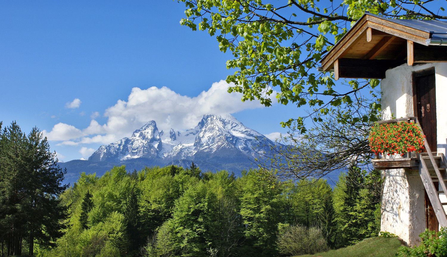
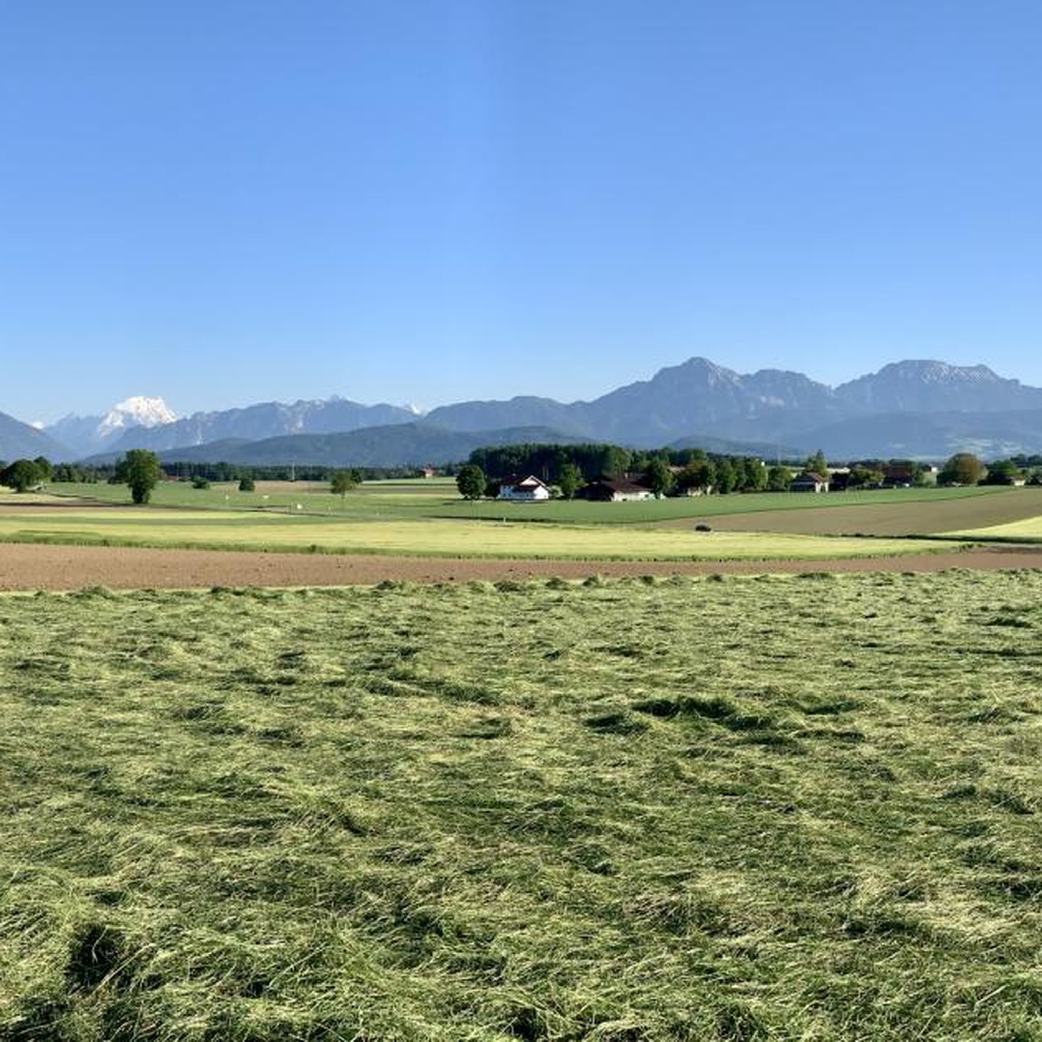
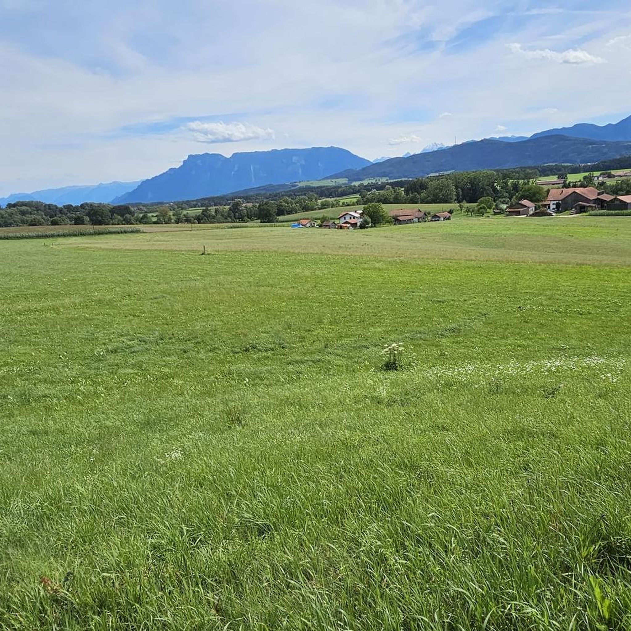
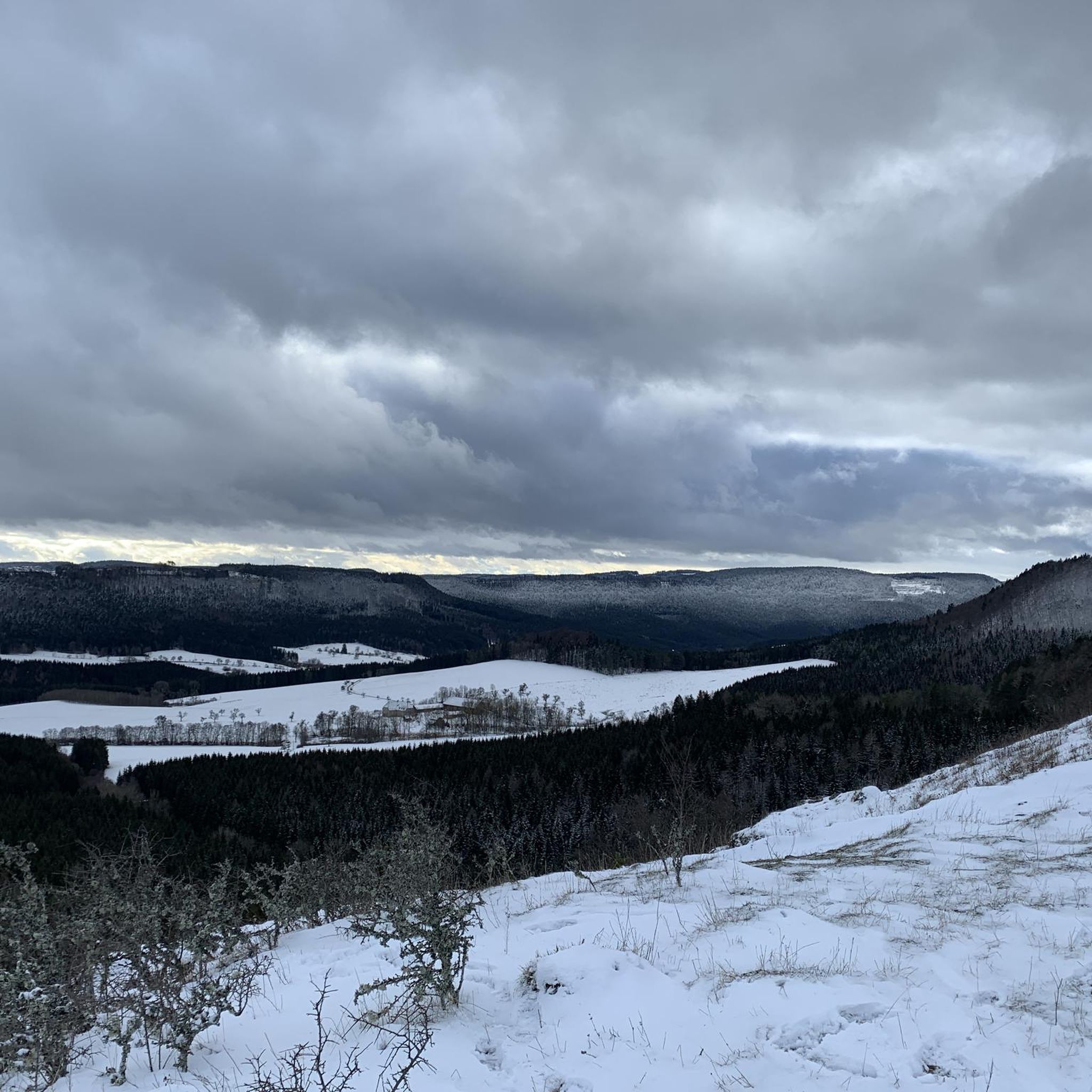
Other adventures around Saaldorf-Surheim

Tips from the Community

The LIFE project area comprises the 1,140 hectare Natura 2000 area Salzachauen with the 350 hectare Weitwörther Au as the core area. It is located a few kilometers north of the provincial capital Salzburg and extends 20 kilometers along the border river Salzach between Siggerwiesen and the state border in the north. Directly adjacent are Natura 2000 areas in Upper Austria and Bavaria. Characteristic of the Natura 2000 area are the extensive riparian forests that are interspersed in some places with former quarry ponds. The Salzachauen represent one of the most biodiverse and most valuable protected areas in the state of Salzburg. They are fully registered in accordance with the Birds Directive and for the most part also in accordance with the Habitats Directive. Important protected assets are in particular softwood alluvial forests (FFH code 91E0), hardwood alluvial forests (91F0), kingfisher, medium-sized woodpecker, gray woodpecker, black woodpecker, collared flycatcher, yellow-bellied toad, crested newt, pug bat and scarlet beetle. The lower Salzach is also the last prealpine river of this dimension in Austria that is not blocked over a long distance.
0
0
This is the Salzach flood protection dam, which does not push the Salzach inland during extreme floods.
0
0
The Surspitz is the confluence of the Sur in the Salzach, a special feature is the spring because special snowdrops grow there
1
0
The Sur is a river over 43 km long in the Upper Bavarian districts of Traunstein and Berchtesgadener Land, which rises near Surberg and, after a generally east-northeast run with some sharp changes in direction, flows from the left into the Salzach above the town of Laufen.
0
0
This is part of the Salzach cycle path that continues to Tittmoning or Burghausen.
0
0

The small Saaldorfer Runde is nice to walk. Pure nature with a constant mountain panorama. Fairly flat, just with a slight incline. Mainly in the sun, very little shade. Ideal when it's not that warm. Unfortunately a lot of asphalt.
0
0
Frequently Asked Questions
How many hiking trails are available in Saaldorf-Surheim?
Saaldorf-Surheim offers a diverse network of nearly 40 hiking trails. These routes cater to various preferences, from leisurely strolls to more challenging treks, all set against the scenic backdrop of the Berchtesgadener Land.
Are there hiking trails for all skill levels in Saaldorf-Surheim?
Yes, the region provides a wide range of trails suitable for all abilities. You'll find over 20 easy routes, 14 moderate options, and even a challenging trail for experienced hikers. This ensures that everyone, from families to seasoned trekkers, can find a suitable path.
What kind of natural landscapes can I expect to see while hiking in Saaldorf-Surheim?
Saaldorf-Surheim is characterized by its varied natural beauty. You can expect serene paths along the Saalach and Sur rivers, picturesque views of the Abtsdorfer See (one of Bavaria's warmest lakes), and unique moor landscapes like the Haarmoos and Saaldorfer Moos. Many trails also offer breathtaking panoramas of the Bavarian Alps.
Are there any trails that offer views of the Alps?
Absolutely. Several routes provide stunning views of the Alps. For an easy option, consider the Totenbretter Memorial – View of the Alps loop from Saaldorf-Surheim. Another great choice is the moderate Wayside Shrine and Bench – View of the Alps loop from Saaldorf-Surheim.
Are there any family-friendly hiking options in Saaldorf-Surheim?
Yes, Saaldorf-Surheim is very family-friendly. The region offers easy, accessible paths suitable for all fitness levels and children. The Fairytale Forest Trail, with its life-size figures, and the interactive Nature and Adventure Trail "On the trail of the bees" are particularly enchanting for younger hikers, encouraging imaginative exploration of nature and learning about biodiversity.
Can I bring my dog on the hiking trails in Saaldorf-Surheim?
Many trails in Saaldorf-Surheim are suitable for dogs, especially the paths along the rivers and through the moor landscapes. It's always recommended to keep your dog on a leash, particularly in protected areas like the Haarmoos, which is an important bird breeding ground. Please be mindful of local regulations and other hikers.
Are there any circular walks available in Saaldorf-Surheim?
Yes, circular walks are a popular feature in Saaldorf-Surheim. You can enjoy routes around the Abtsdorfer See, offering scenic excursions. The "Great Saaldorfer Round" and "Moosrundweg" are also excellent circular trails that traverse the distinctive Saaldorfer Moos and Eichetwald.
What historical or cultural sights can I discover along the hiking trails?
Beyond the natural beauty, you can encounter several historical and cultural points of interest. These include the 14th-century Surheim Castle, the Parish Church of St. Nikolaus with its 15th-century frescoes, and the Neo-Baroque Parish Church of St. Martin in Saaldorf. The St. Johann Baptist Church, built on a former castle hill in 1273, is another notable landmark.
What is the best time of year to go hiking in Saaldorf-Surheim?
The best seasons for hiking in Saaldorf-Surheim are spring and autumn. Spring offers vibrant nature in full bloom, while autumn provides pleasant temperatures and stunning colorful foliage. These seasons offer ideal conditions for enjoying the diverse landscapes.
What do other hikers enjoy most about hiking in Saaldorf-Surheim?
The hiking experiences in Saaldorf-Surheim are highly rated by the komoot community, with an average score of 4.3 stars from over 40 reviews. Hikers often praise the varied scenery, from tranquil riverbanks to unique moorlands and panoramic Alpine views, as well as the well-maintained paths suitable for different abilities.
Are there any specific trails that follow the Sur River?
Yes, the Sur River offers beautiful hiking paths. A popular choice is the View of the Sur River – Wooden Bridge in Upper Bavaria loop from Saaldorf-Surheim, an easy 4.3-mile path that follows the river and passes a charming wooden bridge. The path along the Sur River not only offers magnificent views but also takes hikers past historical landmarks such as Surheim Castle.
What are some notable viewpoints or attractions near Saaldorf-Surheim?
Beyond the local trails, you can find several interesting viewpoints and attractions. These include the View of Hohensalzburg Fortress, the Mirabell Palace, and the Ainringer Moor Observation Tower. These offer opportunities to extend your exploration of the wider region.
Most popular routes around Saaldorf-Surheim
Most popular attractions around Saaldorf-Surheim

Get inspired with the komoot mobile app


Explore more
Browse the best Hikes in other regions.
