The best walks and hikes around Saalburg-Ebersdorf
4.6
(10750)
32,974
hikers
138
hikes
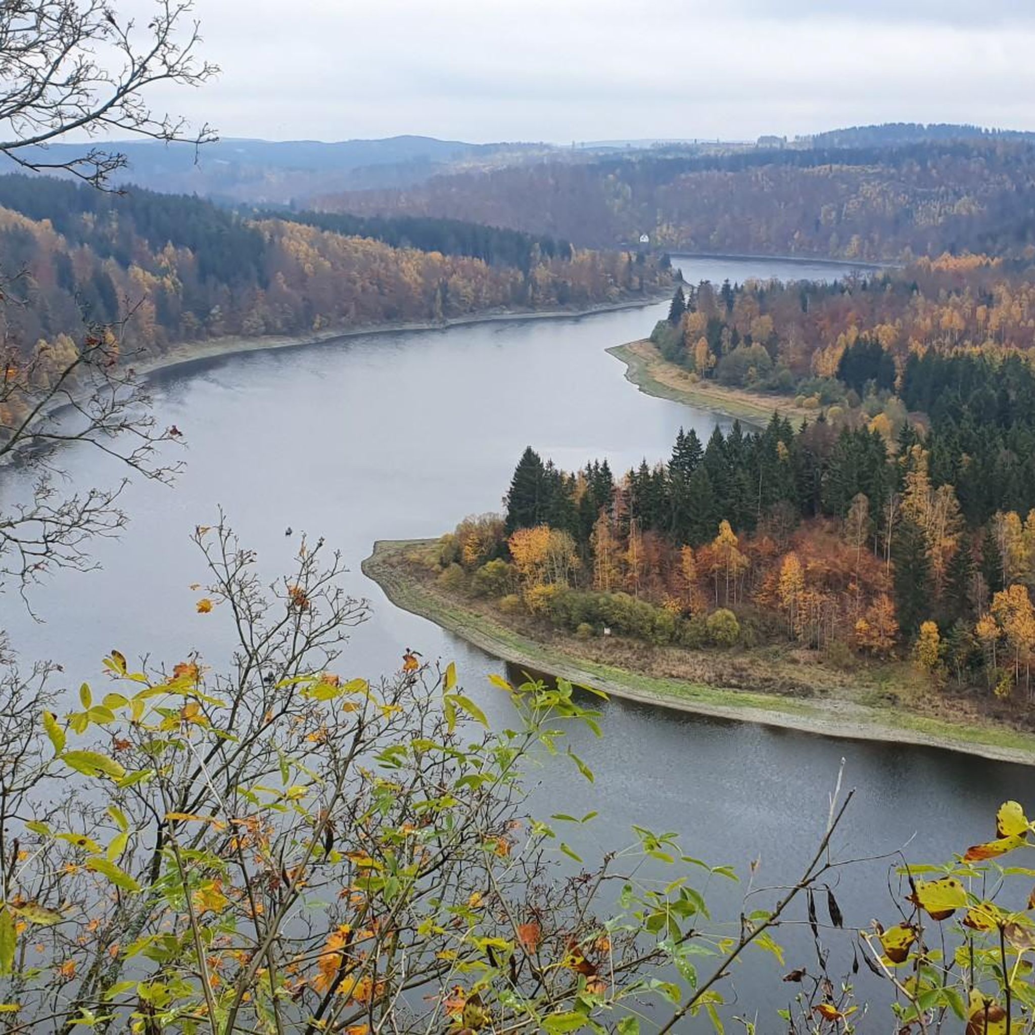
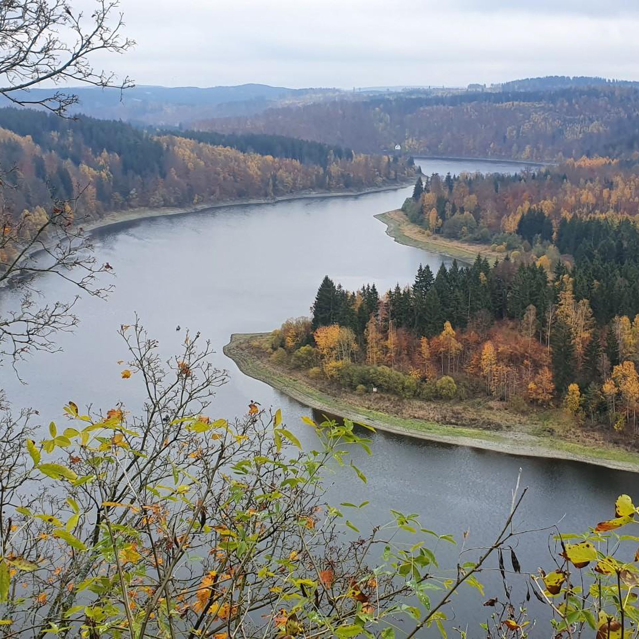
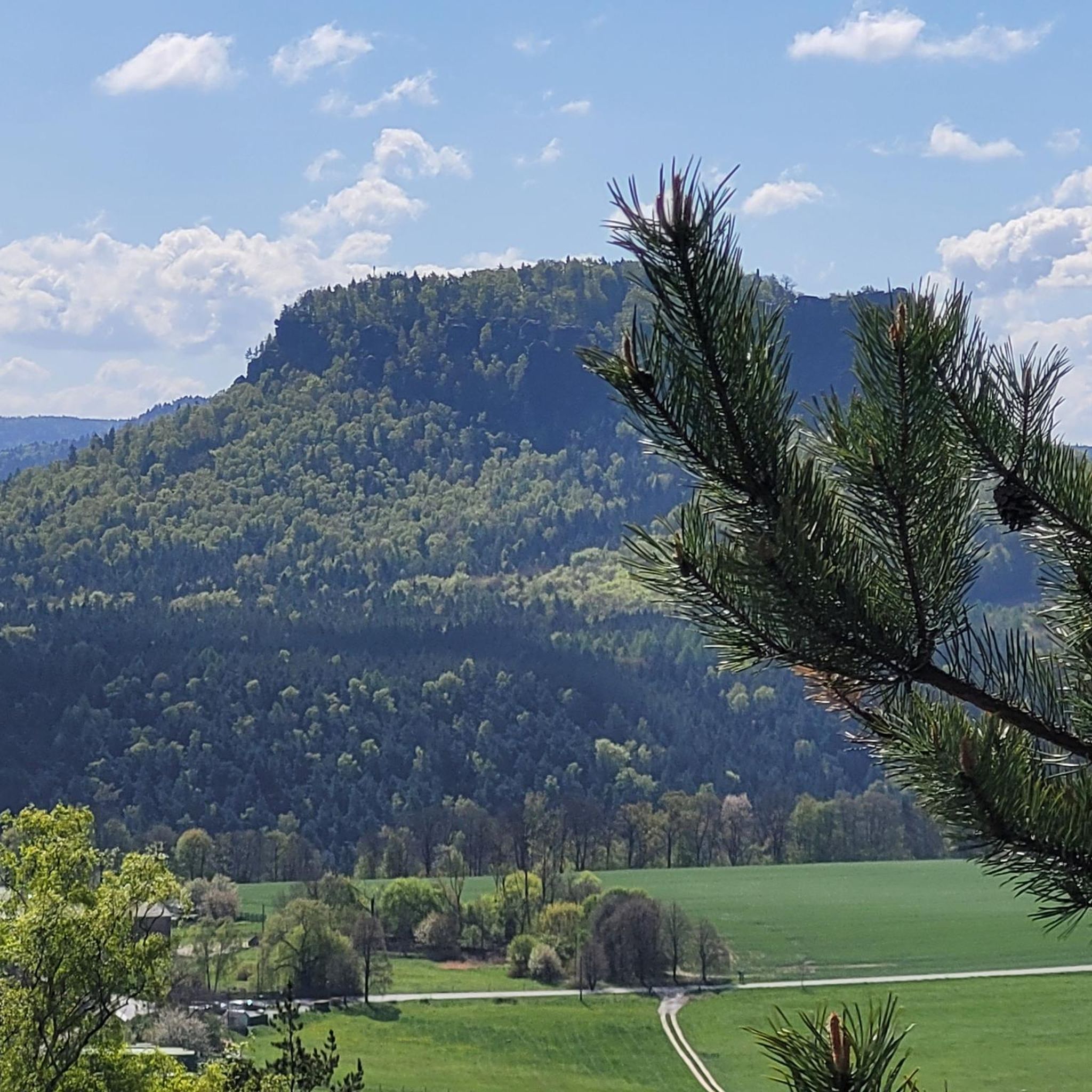
Hiking around Saalburg-Ebersdorf offers diverse landscapes within the Thuringian Slate Mountains/Upper Saale Nature Park. The region is characterized by forested hills, valleys, and the expansive Bleilochtalsperre reservoir, often referred to as the "Thuringian Sea." This area features a variety of geological and biological elements, including open meadows, mixed forests, and notable rock formations. Trails provide views of the reservoir and surrounding natural beauty.
Best hiking trails around Saalburg-Ebersdorf
- The most popular hiking route is Wetterabrücke – Steinerne Rose loop from…
Last updated: September 27, 2026
4.8
(153)
441
hikers
Hard hike. Very good fitness required. Easily-accessible paths. Suitable for all skill levels.
4.6
(43)
78
hikers
6.82km
01:53
120m
120m
Easy hike. Great for any fitness level. Easily-accessible paths. Suitable for all skill levels.

4.7
(18)
57
hikers
26.9km
07:36
520m
520m
Hard hike. Very good fitness required. Mostly accessible paths. Sure-footedness required.
4.8
(21)
75
hikers
Hard hike. Very good fitness required. Easily-accessible paths. Suitable for all skill levels.
4.7
(23)
65
hikers
Moderate hike. Good fitness required. Mostly accessible paths. Sure-footedness required.
Get access to more routes and recommendations from other explorers.
Already have an account?
Our route recommendations are based on thousands of hikes, rides, and runs completed by other people on komoot.
Start today with a free account
Your next adventure awaits.
Popular around Saalburg-Ebersdorf

Other adventures around Saalburg-Ebersdorf


Tips from the Community

The view would be even more beautiful if the water were clear.
0
0
A bridge where you should keep an eye on the car drivers!
0
0

Must take with you to go around the Bleiloch 😉
0
0

really very interesting and informative
1
0

At the hiking parking lot near the Spermaauer junction, a lovingly designed information board commemorates the former Schleiz–Saalburg narrow-gauge railway, which once connected the Saale Valley. The board offers fascinating insights into the history of the railway line and shows how the landscape has changed over time. A worthwhile stop for anyone interested in regional history or who wants to combine their hike with a little historical moment. 🚂🌲
0
0


Large turbine to look at
2
0

Imposing dam, beautiful to look at
2
0
Frequently Asked Questions
How many hiking trails are available around Saalburg-Ebersdorf?
There are over 110 hiking trails around Saalburg-Ebersdorf, offering a wide range of options for different skill levels and preferences. The area is part of the Thuringian Slate Mountains/Upper Saale Nature Park, providing diverse landscapes to explore.
Are there easy hiking routes suitable for beginners or families in Saalburg-Ebersdorf?
Yes, Saalburg-Ebersdorf offers many easy hiking routes perfect for beginners or families. Over 60 of the trails are rated as easy. A popular choice is the Wetterabrücke – Steinerne Rose loop from Bleilochtalsperre, which is 4.3 miles (6.9 km) long and features views of the Bleilochtalsperre and the unique Steinerne Rose geological outcrop.
What are the best times of year to go hiking in Saalburg-Ebersdorf?
The best seasons for hiking in Saalburg-Ebersdorf are typically spring and autumn. During these times, the weather is pleasant, and the natural scenery, especially around the Bleilochtalsperre and the forested hills, is particularly vibrant and colorful.
Are there any long-distance hiking opportunities in the region?
Yes, for those seeking longer treks, the region offers more demanding routes. For example, the Bench with a view of Luchsloch – View of the Saale River loop from Saalburg-Ebersdorf is a challenging 15.4 miles (24.7 km) trail through the scenic Saale River valley. Additionally, the Hohenwarte Stausee Weg, a 77.5-kilometer quality trail, offers extensive fjord-like views and diverse landscapes.
What kind of natural features can I expect to see on hikes around Saalburg-Ebersdorf?
Hiking around Saalburg-Ebersdorf means experiencing the unique fjord-like landscape of the Bleilochtalsperre, Germany's largest reservoir, often called the 'Thuringian Sea'. You'll also encounter forested hills, valleys, open meadows, and impressive rock formations within the Thuringian Slate Mountains/Upper Saale Nature Park. The region's geological heritage includes slate, sometimes referred to as 'blue gold'.
Are there any circular hiking routes in Saalburg-Ebersdorf?
Yes, many trails in Saalburg-Ebersdorf are circular, allowing you to start and end at the same point. The View of Bleiloch Reservoir – View of Bleiloch Reservoir loop from Saalburg-Ebersdorf is a moderate 13.4 miles (21.6 km) loop offering continuous views of the reservoir. The 5-Huts Circular Route at the Thuringian Sea is another varied and beautiful option.
What do other hikers enjoy most about the trails in Saalburg-Ebersdorf?
The hiking trails in Saalburg-Ebersdorf are highly rated by the komoot community, with an average score of 4.7 stars from over 590 reviews. Hikers often praise the stunning panoramic views of the Bleilochtalsperre, the well-maintained paths, and the diverse natural beauty of the Thuringian Slate Mountains.
Are there any interesting landmarks or attractions along the hiking routes?
Yes, several notable landmarks and attractions can be found along the hiking routes. These include the impressive Bleiloch Reservoir and the Bleiloch Dam. You might also encounter the Ice Bridge, or the historic Burgk Castle situated on the banks of the Upper Saale. The Saale Tower offers great views.
Can I bring my dog on the hiking trails in Saalburg-Ebersdorf?
Many hiking trails in Saalburg-Ebersdorf are dog-friendly, allowing you to enjoy the natural beauty with your canine companion. It's always recommended to keep dogs on a leash, especially in nature park areas and near wildlife, and to respect local regulations regarding pets.
Are there any challenging hikes for experienced trekkers?
Experienced trekkers will find several challenging routes. The Kobersfelsen – Ice Bridge loop from Bleilochtalsperre is a difficult 16.7 miles (26.9 km) hike that promises rewarding views and varied terrain. Another demanding option is the Bench with a view of Luchsloch – View of the Saale River loop from Saalburg-Ebersdorf, which covers 15.4 miles (24.7 km) with significant elevation changes.
What is the 'Thuringian Sea' and how can I experience it while hiking?
The 'Thuringian Sea' is the popular name for the Bleilochtalsperre, Germany's largest reservoir, which dominates the landscape around Saalburg-Ebersdorf. Many hiking trails, such as the Wetterabrücke – Steinerne Rose loop, offer stunning views of this expansive body of water. Some routes even combine hiking with boat trips, providing a unique perspective of the fjord-like scenery.
Most popular routes around Saalburg-Ebersdorf
Most popular attractions around Saalburg-Ebersdorf

Get inspired with the komoot mobile app


Explore more
Browse the best Hikes in other regions.
