The best walks and hikes around Rutsweiler an der Lauter
4.6
(2704)
10,354
hikers
745
hikes
Hiking around Rutsweiler an der Lauter offers diverse landscapes within the Lauter valley, situated at the foot of the Palatinate Forest. The region features picturesque vineyards and hillsides reaching up to 400 meters above sea level. Trails showcase typical regional rock types such as conglomerate, Rotliegend, and sandstone. This varied topography provides a range of hiking experiences for outdoor enthusiasts.
Best hiking trails around Rutsweiler an der Lauter
- The most popular hiking route is Historic Old Town of Wolfstein –…
Last updated: May 14, 2026
4.7
(45)
207
hikers
Moderate hike. Good fitness required. Easily-accessible paths. Suitable for all skill levels.
4.5
(32)
95
hikers
Moderate hike. Good fitness required. Easily-accessible paths. Suitable for all skill levels.

Sign up for free
4.8
(36)
80
hikers
Moderate hike. Good fitness required. Easily-accessible paths. Suitable for all skill levels.
4.2
(13)
56
hikers
Moderate hike. Good fitness required. Mostly accessible paths. Sure-footedness required.
4.4
(7)
46
hikers
Moderate hike. Good fitness required. Easily-accessible paths. Suitable for all skill levels.
Get access to more routes and recommendations from other explorers.
Sign up for free
Already have an account?
Our route recommendations are based on thousands of hikes, rides, and runs completed by other people on komoot.
Start today with a free account
Your next adventure awaits.
Login or Signup
Tips from the Community


The Neo-Gothic building, with a 40m high tower, was built between 1866 and 1868. The community clock with 4 dials was supplied by the Munich company Manhard, the three bells weighing 720 kg, 412.5 kg and 212 kg were cast by Georg Hamm in Kaiserslautern. Quelle und mehr Details: https://www.vg-lw.de/strukturierte-daten/kirchliches/kirchen/ev-christuskirche-wolfstein/
0
0
Fountain with a group of owls. Sculpture by Paul Schmelzer.
0
0
The Wolf von Wolfstein is a sculpture by the sculptor Erich Koch, born in the Roßbach district
0
0

The campsite is now called “Am Königsberg” and is listed separately here in Komoot…
0
0

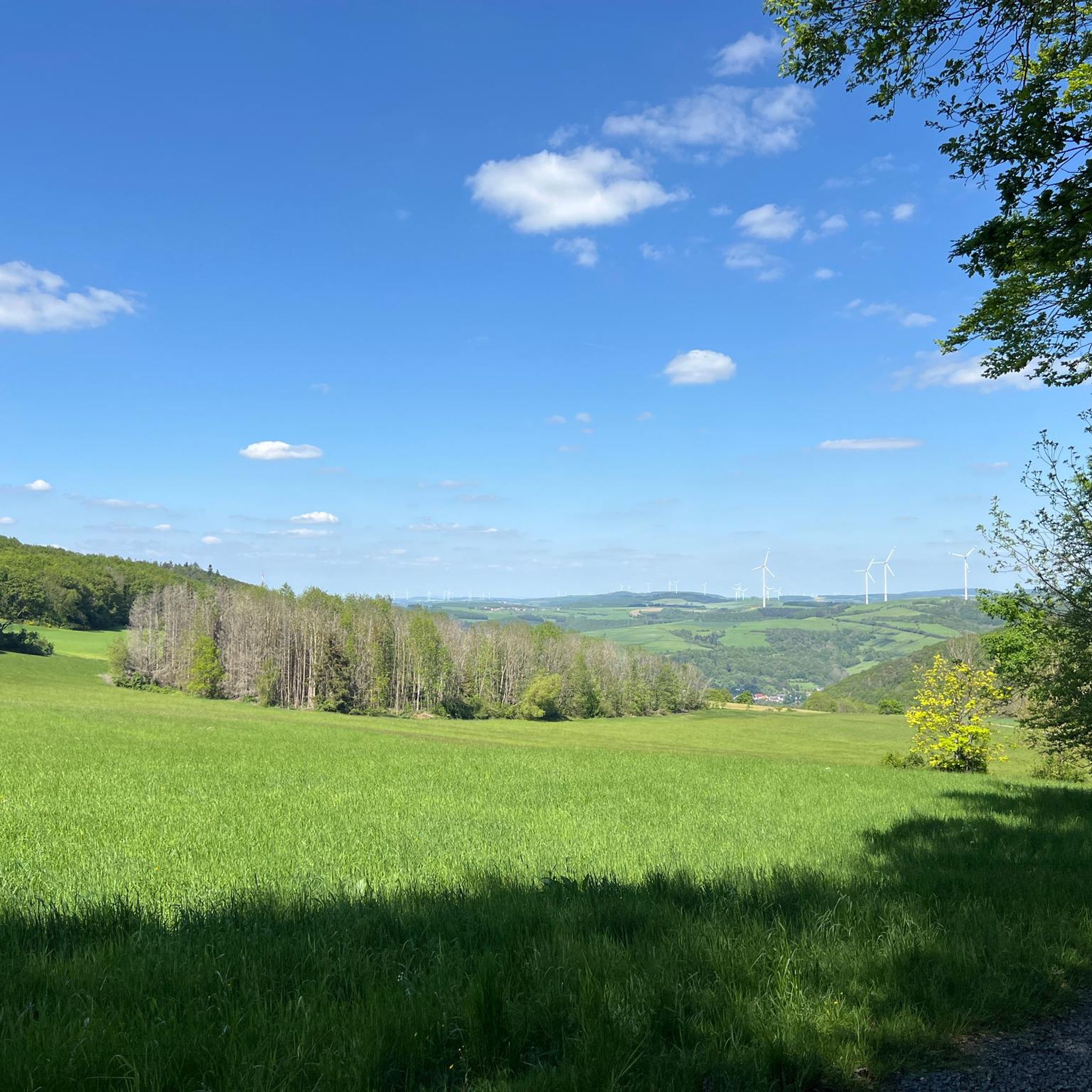
A great view of Wofstein
0
0

Unfortunately, during our visit there was little water and it was dirty
0
0
beautiful church, unfortunately closed as so often
0
0
Frequently Asked Questions
How many hiking trails are available around Rutsweiler an der Lauter?
There are over 750 hiking routes available around Rutsweiler an der Lauter, catering to a wide range of preferences and skill levels. This includes more than 360 easy routes and over 370 moderate trails, ensuring there's something for everyone.
What kind of terrain can I expect on hikes near Rutsweiler an der Lauter?
The region around Rutsweiler an der Lauter offers a diverse topography, with trails winding through the Lauter valley, picturesque vineyards, and hillsides reaching up to 400 meters above sea level. You'll encounter typical regional rock types such as conglomerate, Rotliegend, and sandstone, providing varied and interesting ground underfoot.
What do other hikers say about the trails in Rutsweiler an der Lauter?
The hiking routes in Rutsweiler an der Lauter are highly regarded by the komoot community, boasting an average rating of 4.6 stars from over 2,500 reviews. Hikers often praise the varied landscapes, well-maintained paths, and the opportunities to explore both natural beauty and historical sites.
Are there hiking trails suitable for beginners or easy walks in the area?
Yes, Rutsweiler an der Lauter offers a good selection of trails suitable for beginners or those looking for an easy walk. There are over 360 easy routes available, many of which provide gentle gradients and pleasant scenery, perfect for a relaxed outdoor experience.
What natural features or viewpoints can I discover while hiking?
Hikers can explore several notable natural features and viewpoints. The Königsberg Summit offers a pleasant resting spot, while the Selberg Tower provides expansive panoramic views over the North Palatinate mountains. You can also find the idyllic Blaue Halde Spring and Pond, and even a 76-meter-long stalactite cave formed from 18th-century mining efforts.
Are there any circular hiking routes available?
Yes, many of the trails around Rutsweiler an der Lauter are designed as circular routes, allowing you to start and end at the same point. An example is the Keep of Alt-Wolfstein Castle – Ruins of Neu-Wolfstein Castle loop from Wolfstein, which offers a comprehensive exploration of historical sites and scenic views.
What is the best time of year to go hiking in Rutsweiler an der Lauter?
The most recommended seasons for hiking in Rutsweiler an der Lauter are spring and autumn. During these times, temperatures are pleasant, and the natural scenery is particularly vibrant, with lush greenery in spring and colorful foliage in autumn. While winter hikes are possible, some paths might be more challenging due to conditions.
Are there any historical sites or attractions to see along the trails?
Absolutely. The region is rich in history. You can explore the Ruins of Neu-Wolfstein Castle, dating back to the 14th century, or visit the Bergfried of Burg Alt-Wolfstein, which offers panoramic views. The historic Lauterbrücke, a five-arched stone bridge, also provides insights into the area's past.
Are the hiking trails around Rutsweiler an der Lauter suitable for families with children?
Yes, many trails are suitable for families. The diverse range of easy and moderate routes means you can find paths that are not too strenuous for younger hikers. The presence of natural attractions like the Blaue Halde Spring and Pond, and historical sites, can make hikes engaging for children.
Can I bring my dog on the hiking trails?
Generally, dogs are welcome on hiking trails in the Rutsweiler an der Lauter region. However, it's always advisable to keep your dog on a leash, especially in nature reserves, near livestock, or in areas with wildlife. Please ensure you clean up after your pet to maintain the natural beauty of the trails.
Are there places to eat or find refreshments near the hiking routes?
Yes, the region offers options for refreshments. For instance, the Rothenbühlsteig, a popular moderate hike, includes a PWV hut where refreshments, including lunch, coffee, and cake, are served on Sundays. In nearby towns like Wolfstein, you can also find various cafes and restaurants.
Is there public transport available to reach the hiking areas?
While specific public transport details for every trailhead are not available, Rutsweiler an der Lauter is situated within the Kusel district, which typically has regional bus services. It's recommended to check local public transport schedules for connections to trail starting points, especially if you're not traveling by car.
Where can I park my car when going for a hike?
Parking is generally available in and around the villages and towns that serve as starting points for hikes, such as Wolfstein. Look for designated parking areas near trailheads or in village centers. Specific parking information for individual routes can often be found on detailed trail descriptions.
Most popular routes around Rutsweiler an der Lauter
Most popular attractions around Rutsweiler an der Lauter

Get inspired with the komoot mobile app


Explore more
Browse the best Hikes in other regions.
