The best road cycling routes around Rütschelen
4.4
(167)
4,139
riders
200
rides
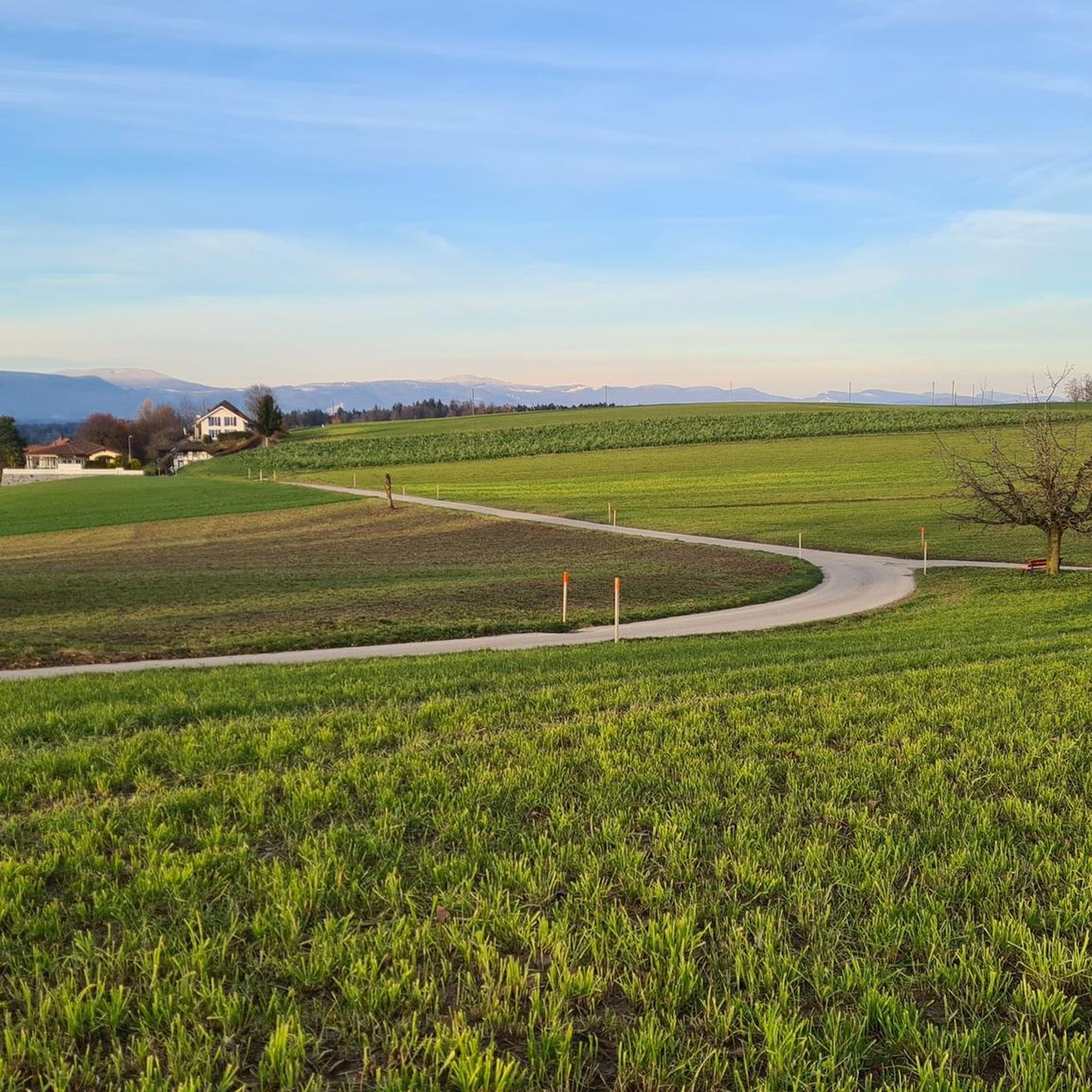
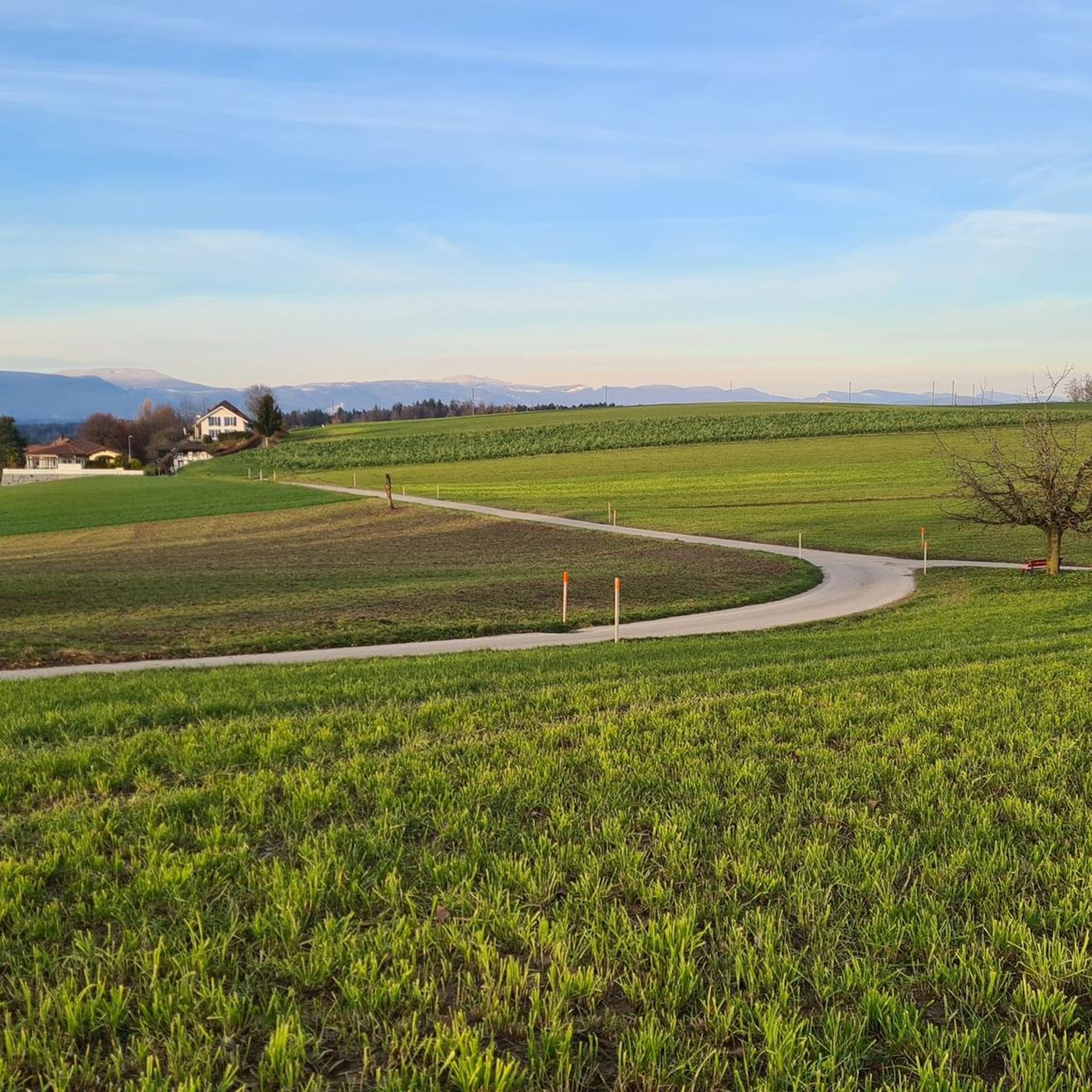
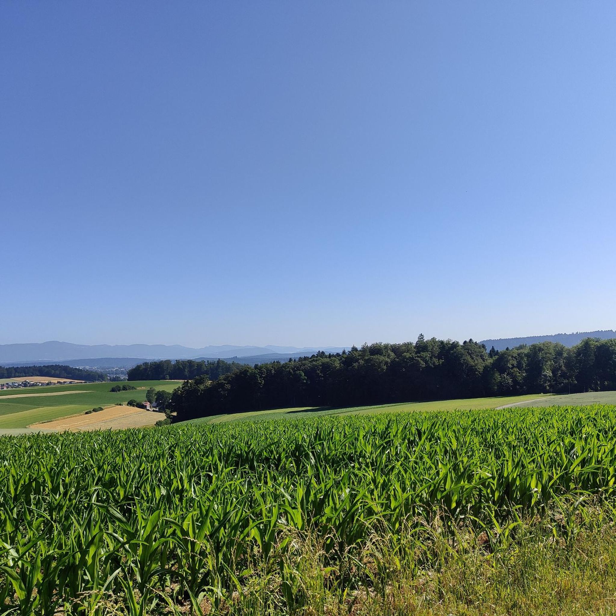
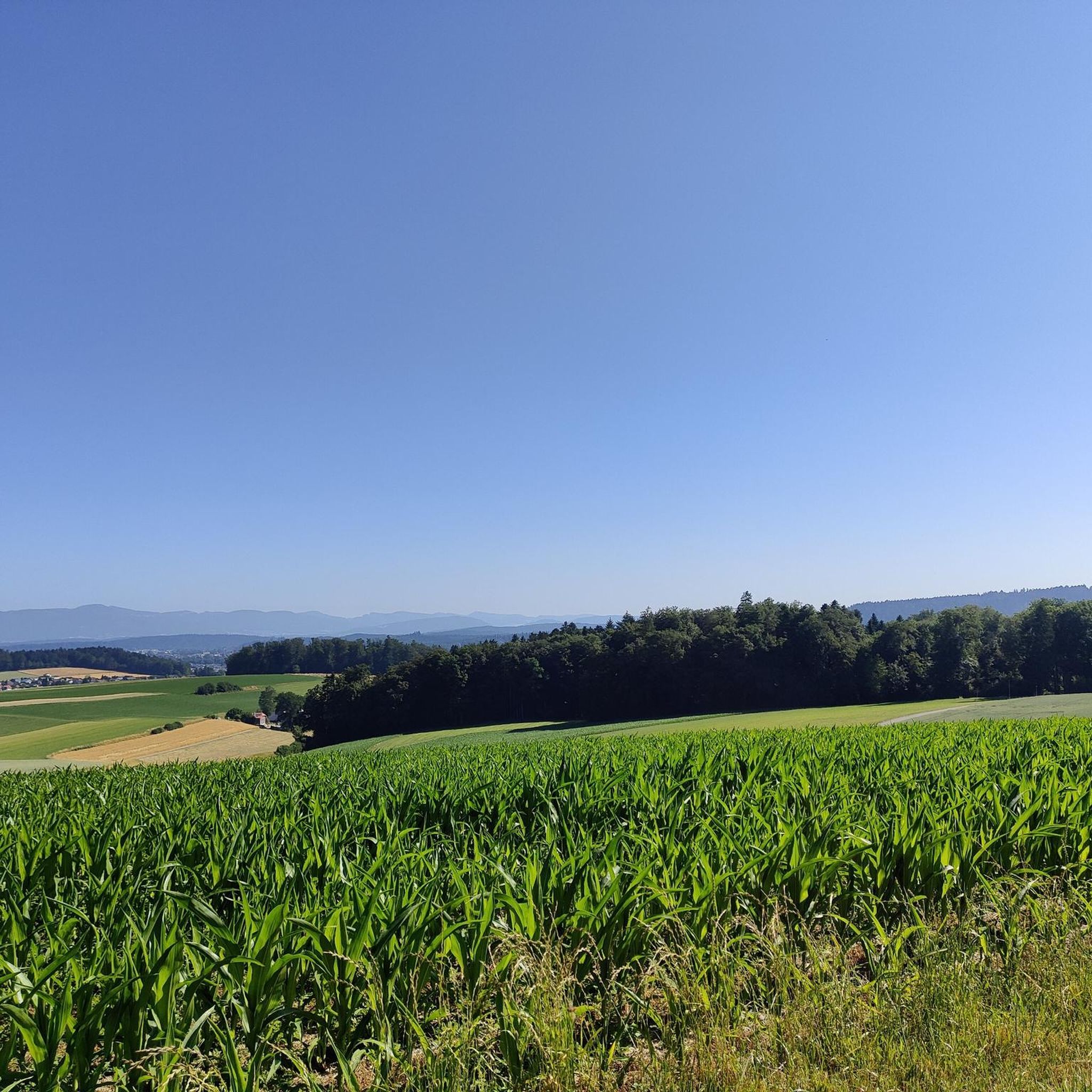
Road cycling routes around Rütschelen offer a diverse landscape in the Oberaargau region of Switzerland. The terrain varies in elevation from 530 to 739 meters above sea level, providing a mix of ascents and descents. Cyclists can expect routes through rolling green landscapes, shaded forests, and alongside water bodies like Lake Burgäschi. This area is characterized by its varied topography, making it suitable for road cycling.
Best road cycling routes around Rütschelen
- The most popular road cycling route is Burgdorf…
Last updated: June 28, 2026
5.0
(1)
59
riders
59.4km
02:28
330m
330m
Moderate road ride. Good fitness required. Mostly well-paved surfaces and easy to ride.
5.0
(2)
52
riders
46.7km
02:13
570m
570m
Moderate road ride. Good fitness required. Some segments of this route may be unpaved and difficult to ride.

Sign up for free
38
riders
59.6km
02:44
570m
570m
Moderate road ride. Good fitness required. Mostly well-paved surfaces and easy to ride.
20
riders
52.5km
02:49
850m
850m
Moderate road ride. Good fitness required. Some segments of this route may be unpaved and difficult to ride.
5.0
(1)
26
riders
49.4km
02:39
830m
830m
Moderate road ride. Good fitness required. Mostly well-paved surfaces and easy to ride.
Get access to more routes and recommendations from other explorers.
Sign up for free
Already have an account?
Our route recommendations are based on thousands of hikes, rides, and runs completed by other people on komoot.
Start today with a free account
Your next adventure awaits.
Login or Signup
Tips from the Community

From Huttwil, it's initially gentle towards Eriswil. From there, the road climbs and the gradient becomes more challenging. You ride on the main road, but there is little traffic on this route.
0
0

it always goes 'up' to the Lueg, sometimes nicer and sometimes uglier...
0
0

It's beautiful here all year round.
0
0
Great place to enjoy a fine Burgdorf beer after a bike ride!
0
0

On Sundays, the restaurant closes at 4:00 PM. Don't they need it?
1
0

Very good food, friendly, nice rooms and bike battery charging station.
1
0
Frequently Asked Questions
How many road cycling routes are available around Rütschelen?
There are over 200 road cycling routes available around Rütschelen, offering a wide variety of options for cyclists. These routes are highly rated by the komoot community, with an average score of 4.5 stars from over 140 reviews.
What types of terrain can I expect on road cycling routes in Rütschelen?
The terrain around Rütschelen is diverse, ranging in elevation from 530 to 739 meters above sea level. You can expect a mix of ascents and descents through rolling green landscapes, shaded forests, and scenic sections alongside water bodies like Lake Burgäschi. The region's varied topography provides an engaging experience for road cyclists.
Are there road cycling routes suitable for beginners or those looking for an easy ride?
Yes, Rütschelen offers options for all skill levels. Out of the over 200 routes, 42 are classified as easy, providing gentler gradients and distances suitable for beginners or those seeking a more relaxed ride. These routes often traverse the picturesque Langetental valley.
What are some notable natural attractions I can see along the road cycling routes?
Cyclists can encounter several natural attractions. The scenic Lake Burgäschi is a prominent natural monument, offering picturesque views. You might also spot the impressive Grossi Flue Erratic Boulder, a geological marvel deposited by the Rhone Glacier, or the Foundlings from the Stone Age - Grosse Fluh with erratic block. Many routes also wind through diverse forests and past the Oberbühlchnubel summit.
Are there challenging road cycling routes for advanced riders?
Absolutely. For experienced cyclists seeking a challenge, there are 22 difficult routes available around Rütschelen. These routes feature more significant ascents and descents, such as those found on the Untersteckholz Obersteckholz – Ahornalp Viewpoint loop from Gutenburg, which includes over 800 meters of elevation gain, providing a demanding and rewarding ride.
What is the best time of year for road cycling in Rütschelen?
The region around Rütschelen is generally best for road cycling during the spring, summer, and autumn months. During these seasons, the weather is typically mild, and the landscapes are vibrant. While some routes may be accessible in winter, conditions can be challenging due to colder temperatures and potential ice or snow, especially at higher elevations.
Are there any cultural or historical points of interest along the routes?
Yes, the broader region offers several cultural and historical points of interest. While cycling, you might pass by the Aarwangen Castle, a historic landmark existing since the 12th century. The area also provides access to routes near St. Urban Abbey, a beautifully restored monastery, and the Bannwil Hydroelectric Power Plant, offering unique riverside views.
Are there loop road cycling routes available in Rütschelen?
Many of the road cycling routes around Rütschelen are designed as loops, allowing you to start and end at the same point. Examples include the popular Burgdorf Castle – Lake Burgäschi loop from Gutenburg and the Burgdorf Castle – Lueg Viewpoint loop from Gutenburg, both offering circular journeys through the region's diverse landscapes.
How can I access the road cycling routes in Rütschelen using public transport?
Switzerland boasts an extensive network of public transport, making it generally easy to access cycling routes. While specific public transport connections to Rütschelen vary, you can typically reach nearby towns like Langenthal or Lotzwil by train or bus, and then cycle to the starting points of routes. Many Swiss public transport services also accommodate bicycles, though checking specific routes and times is recommended.
What is the typical distance and elevation gain for road cycling routes in this area?
The routes vary significantly in distance and elevation. For example, a moderate route like the Fritzenfluh Tunnel – Fritzenfluh Ascent loop from Gutenburg covers about 46.7 km with over 560 meters of elevation gain. Longer routes, such as the Burgdorf Castle – Lake Burgäschi loop from Gutenburg, can extend to over 60 km with around 365 meters of elevation, offering a good mix of distance and climbing.
Are there places to stop for refreshments or breaks along the road cycling routes?
Yes, the region offers opportunities for breaks. Lake Burgäschi, for instance, features a lido and restaurant, providing a scenic spot to rest and refuel. Additionally, many routes pass through or near villages where cafes and local eateries can be found, allowing for convenient stops during your ride.
Most popular routes around Rütschelen
Most popular attractions around Rütschelen

Get inspired with the komoot mobile app


Explore more
Browse the best Road cycling routes in other regions.
