The best MTB trails around Rho
4.3
(275)
735
riders
37
rides
Mountain bike trails around Rho are characterized by generally flat to gently rolling terrain, often following the region's extensive canal networks. The landscape features towpaths, open heathland, and some wooded areas, providing a mix of surfaces for mountain biking. The area's low elevation gains over long distances make it suitable for endurance rides rather than steep climbs.
Best mountain bike trails around Rho
- The most popular mountain bike trail is Bridge🚲🌉🔀 – Underpass loop from Rho, a 42.2 miles…
Last updated: August 20, 2026
4.5
(79)
235
riders
47.6km
03:14
140m
140m
Moderate mountain bike ride. Good fitness required. Suitable for all skill levels.
4.7
(120)
174
riders
73.6km
04:08
150m
150m
Moderate mountain bike ride. Good fitness required. Suitable for all skill levels.

Sign up for free
4.3
(13)
46
riders
Moderate mountain bike ride. Good fitness required. Advanced riding skills necessary.
4.6
(7)
34
riders
56.9km
03:23
60m
60m
Moderate mountain bike ride. Good fitness required. Suitable for all skill levels.
3.8
(10)
41
riders
26.6km
01:49
70m
70m
Easy mountain bike ride. Great for any fitness level. Suitable for all skill levels.
Get access to more routes and recommendations from other explorers.
Sign up for free
Already have an account?
Our route recommendations are based on thousands of hikes, rides, and runs completed by other people on komoot.
Start today with a free account
Your next adventure awaits.
Login or Signup

Tips from the Community

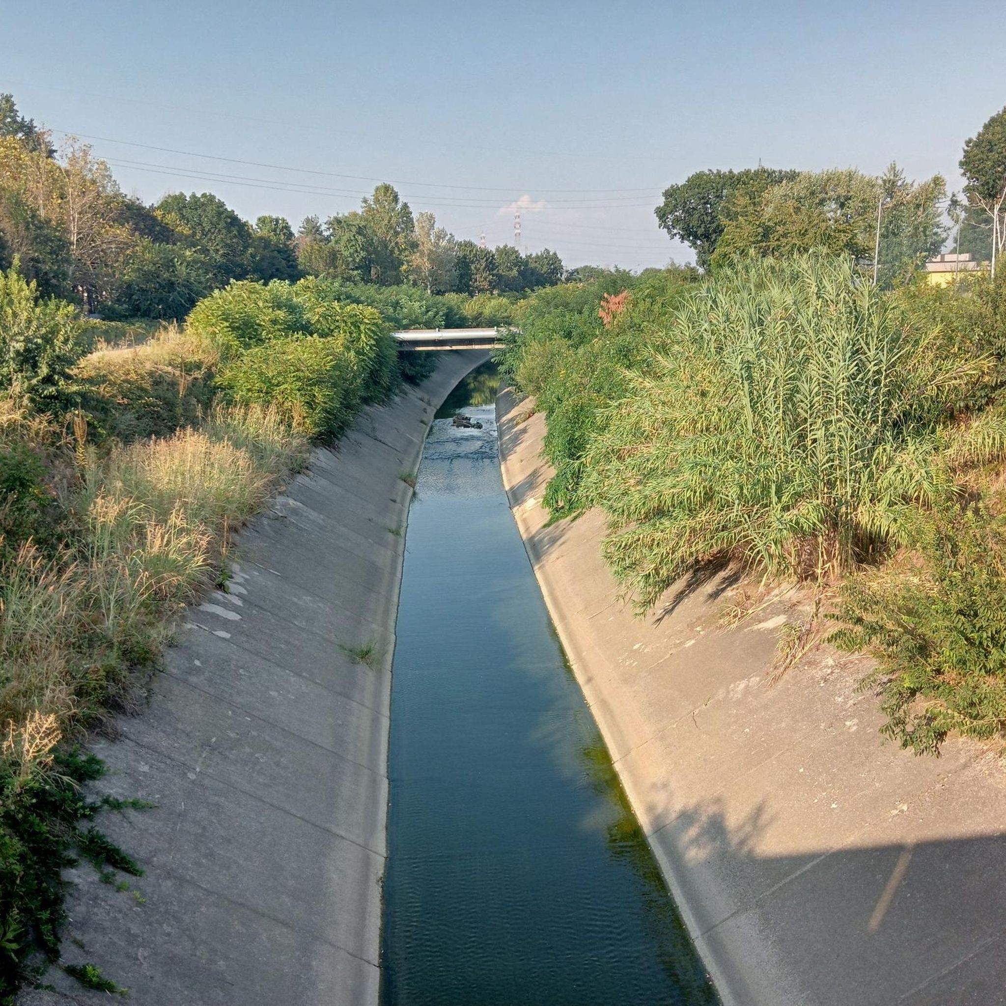
bridge over the Lura in the homonymous park
0
0

Il Parco del Lura is a local park of supramunicipal interest established for the protection and enhancement of the Lura stream valley in the stretch that extends from Cassina Rizzardi to Lainate. The municipalities adhering to the consortium are: Bregnano, Cadorago, Caronno Pertusella, Cassina Rizzardi, Cermenate, Garbagnate Milanese, Guanzate, Lainate, Lomazzo, Rovellasca, Rovello Porro and Saronno
0
0

Is the bike path open? I knew it was closed for construction?
0
0

Beautiful🌈Palazzo Cittadini Stampa🏤
1
0

Further on it becomes a difficult track
1
1


very nice and fast to track with an XC
0
0

Frequently Asked Questions
What is the general terrain like for mountain biking around Rho?
Mountain biking around Rho is characterized by generally flat to gently rolling terrain, often following the region's extensive canal networks. You'll find towpaths, open heathland, and some wooded areas, providing a mix of surfaces. The low elevation gains make it suitable for endurance rides rather than steep climbs.
How many mountain bike trails are available in the Rho area?
There are over 40 mountain bike trails around Rho, catering to various skill levels. This includes 13 easy routes, 25 moderate routes, and 2 more challenging options.
Are there any easy mountain bike trails suitable for beginners or families in Rho?
Yes, there are 13 easy mountain bike routes around Rho. A good option for an easier ride is the Fametta Church – Heathland Trail loop from Biringhello, which is 26.1 km long and takes about 1 hour 39 minutes to complete.
What kind of natural features or landscapes can I expect to see while mountain biking in Rho?
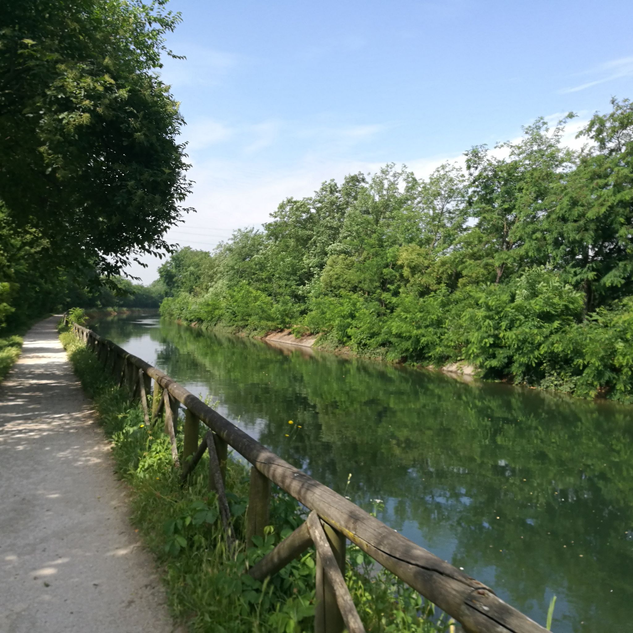
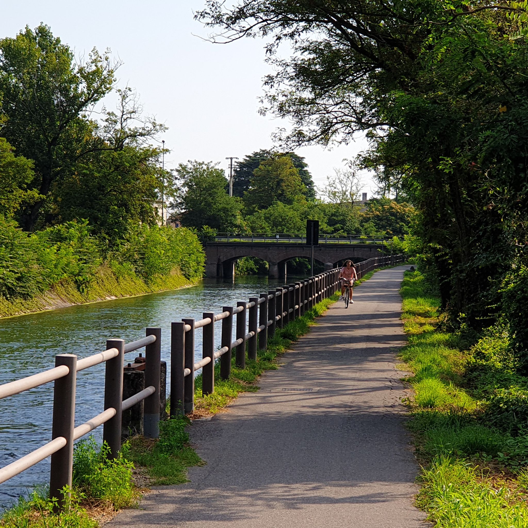
The routes in Rho often follow scenic canal towpaths, offering pleasant rides alongside waterways like the Naviglio Grande. You'll also encounter open heathland and riverside paths, providing a mix of natural scenery.
Are there any circular mountain bike routes around Rho?
Yes, many of the mountain bike routes around Rho are loops. For example, the Bridge🚲🌉🔀 – Underpass loop from Rho is a moderate 67.9 km loop, and the Naviglio Grande Near Bernate – Naviglio Grande loop from Rho is a scenic 53.1 km loop along the canal.
What do other mountain bikers say about the trails in Rho?
The mountain bike routes in Rho are highly rated by the komoot community, with an average score of 4.2 stars from over 270 reviews. Many riders appreciate the varied terrain, including canal towpaths and heathland, and the suitability for moderate endurance rides.
Are there any interesting landmarks or attractions near the mountain bike trails in Rho?
Yes, there are several points of interest nearby. You can explore historical sites like Sforza Castle or Villa Arconati. For more biking-specific attractions, consider visiting Groane Trail or Frogs’ Trail, Boscoincittà.
What is the best time of year for mountain biking in Rho?
Given the generally flat terrain and canal-side routes, mountain biking in Rho is enjoyable for much of the year. Spring and autumn typically offer pleasant temperatures, while summer can be warm but still suitable for rides, especially along shaded canal paths. Winter conditions would depend on local weather, but the low elevation generally means less snow impact compared to mountainous regions.
Are there any trails that offer good viewpoints or scenic spots?
While Rho's terrain is generally flat, the canal towpaths offer picturesque views of the waterways and surrounding countryside. For a broader perspective, you might consider a highlight like View of Milan from Monte Stella, which is accessible from some routes in the wider area.
What are some of the longer mountain bike routes available in Rho?
For longer rides, consider the Naviglio Grande – Alzaia Canale Villoresi loop from Rho, which spans 73.7 km and typically takes around 4 hours 9 minutes. Another substantial option is the Towpath of the Villoresi Canal – Naviglio Grande loop from Rho, a 58.6 km route.
Are there any specific trails that feature underpasses or bridges?
Yes, the Bridge🚲🌉🔀 – Underpass loop from Rho is specifically known for its varied terrain, including both underpasses and bridges, making for an interesting ride.
Most popular attractions around Rho

Get inspired with the komoot mobile app


Explore more
Browse the best MTB trails in other regions.
