The best walks and hikes around Urago D'Oglio
4.2
(194)
1,297
hikers
139
hikes
Hiking around Urago D'Oglio reveals a landscape characterized by its flat terrain and proximity to the Oglio River. The region features gentle paths, often passing by historical sites and observation points. Elevation gains are minimal, making the area accessible for various activity levels. The trails primarily traverse open countryside and riverine environments.
Best hiking trails around Urago D'Oglio
- The most popular hiking route is Barbò Castle – Ostello Molino di Basso loop from Pumenengo, a 7.7 miles (12.4 km)…
Last updated: May 20, 2026
3.3
(4)
13
hikers
12.4km
03:11
60m
60m
Moderate hike. Good fitness required. Easily-accessible paths. Suitable for all skill levels.
4.7
(3)
13
hikers
6.78km
01:45
40m
40m
Easy hike. Great for any fitness level. Easily-accessible paths. Suitable for all skill levels.

Sign up for free
3.0
(1)
10
hikers
5.57km
01:26
30m
30m
Easy hike. Great for any fitness level. Easily-accessible paths. Suitable for all skill levels.
4.9
(7)
9
hikers
Easy hike. Great for any fitness level. Easily-accessible paths. Suitable for all skill levels.
5.0
(1)
9
hikers
18.1km
04:37
60m
60m
Moderate hike. Good fitness required. Easily-accessible paths. Suitable for all skill levels.
Get access to more routes and recommendations from other explorers.
Sign up for free
Already have an account?
Our route recommendations are based on thousands of hikes, rides, and runs completed by other people on komoot.
Start today with a free account
Your next adventure awaits.
Login or Signup
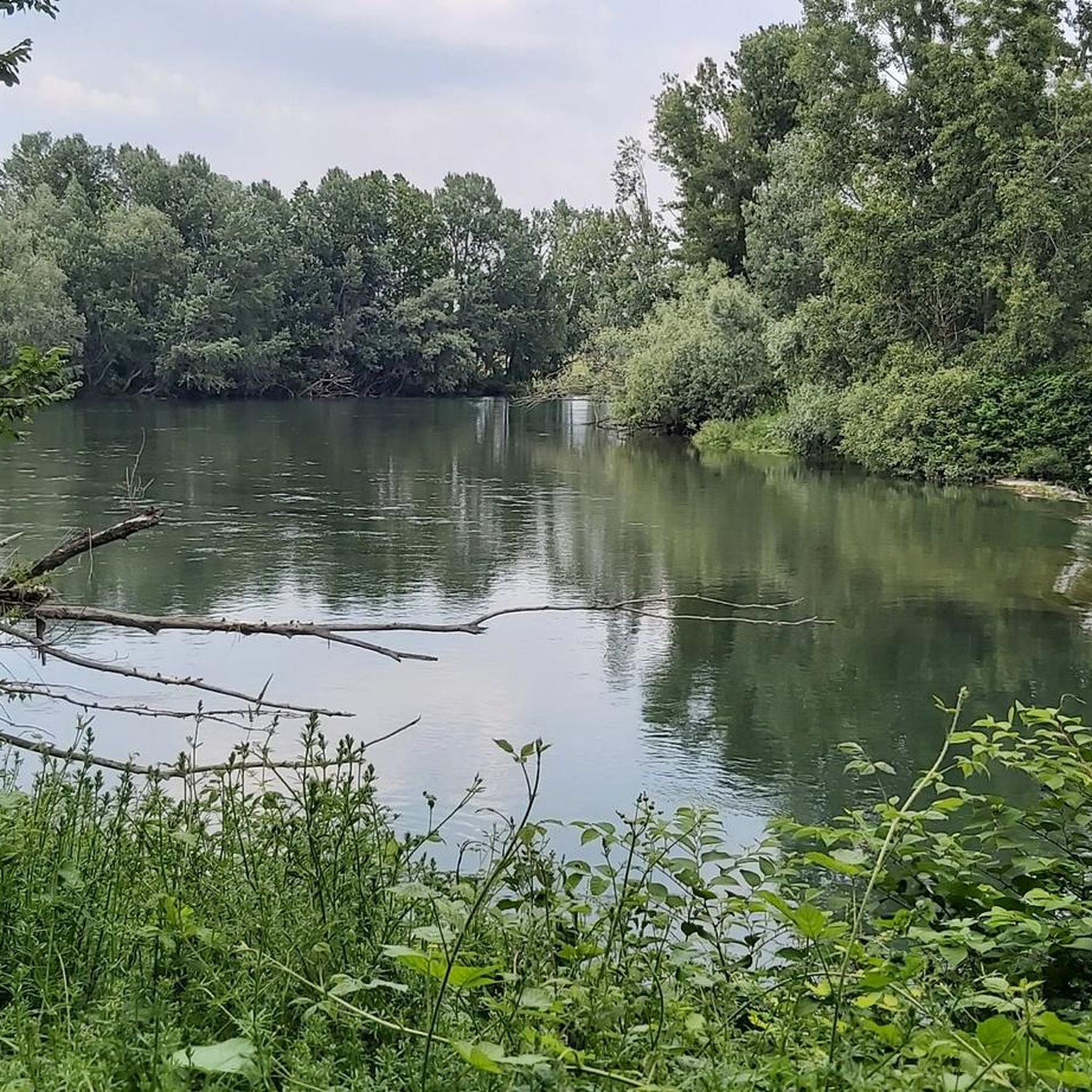

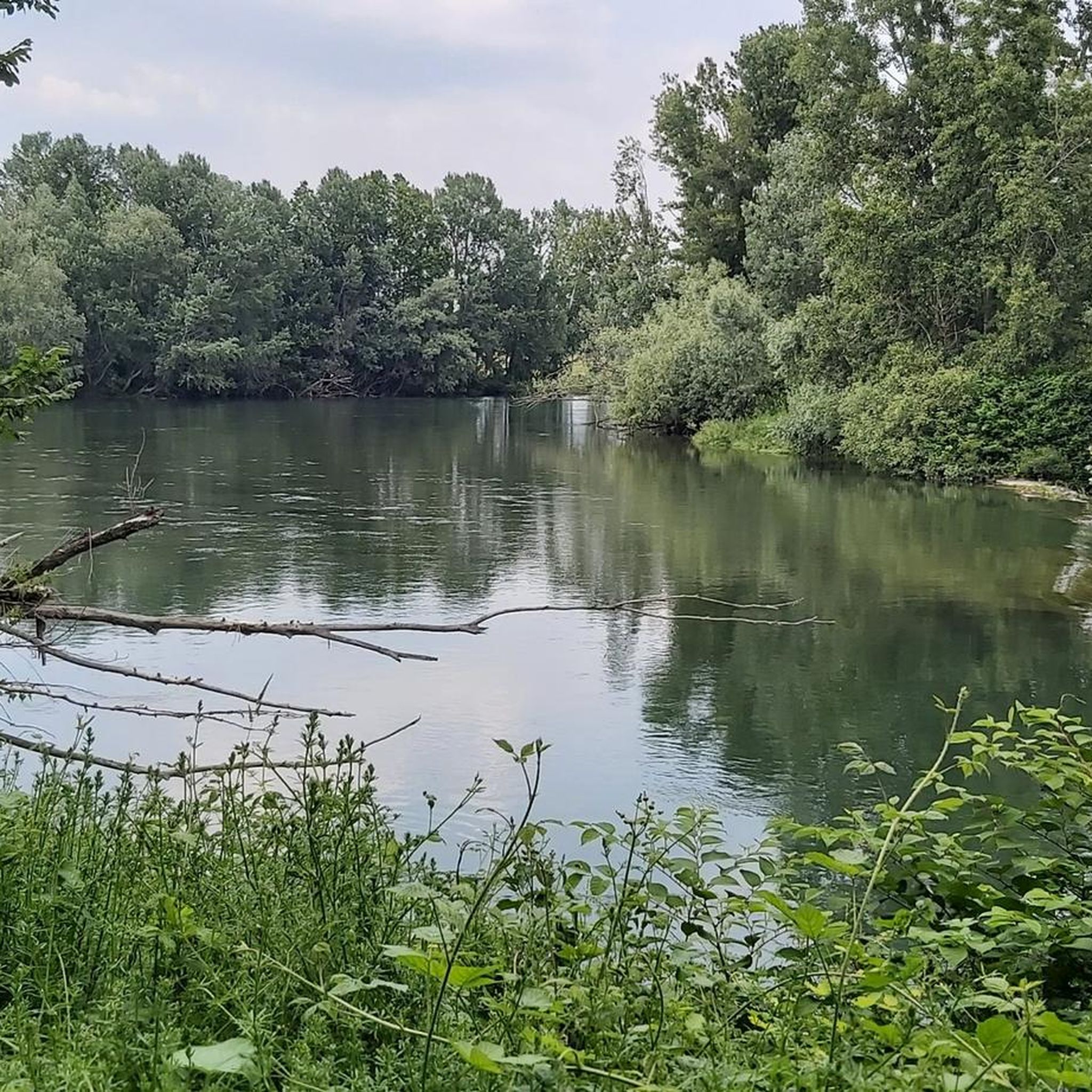
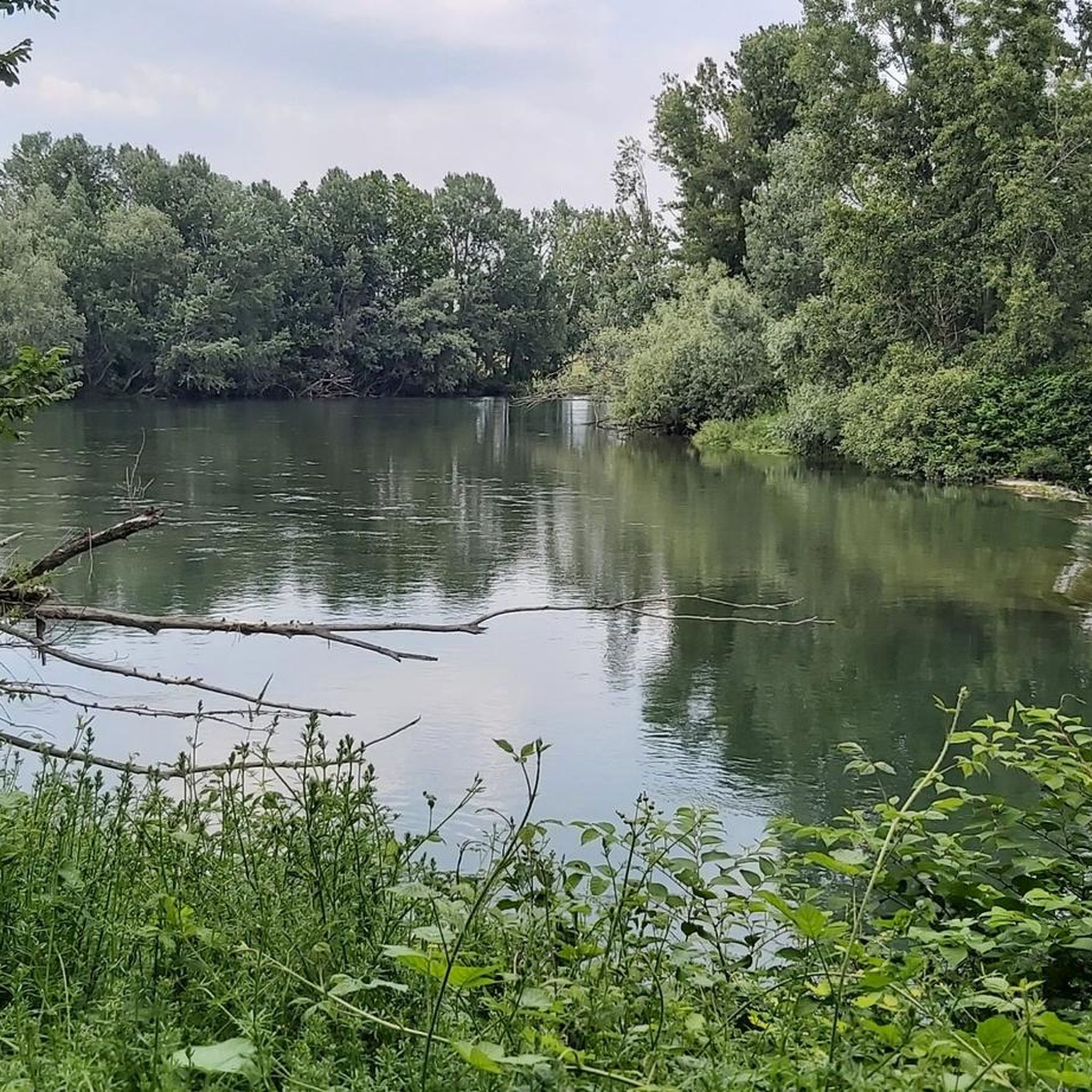
Tips from the Community

What a nice surprise to find it in front of you on the way to Soncino!
2
0

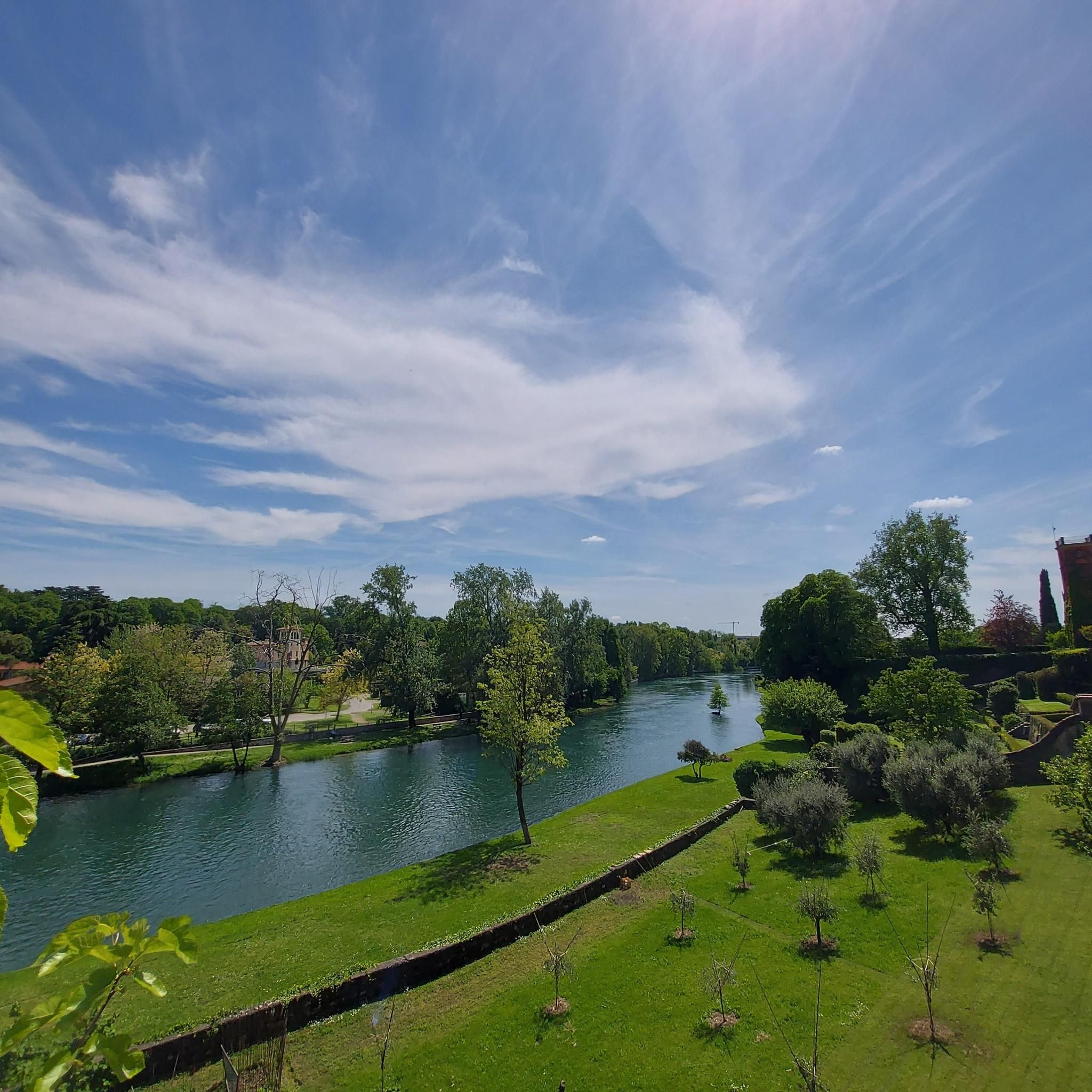
Cross the village of Pumenengo and be enchanted by the landscapes along the Oglio River. The castle, once a strategic bulwark between the Duchy of Milan and the Republic of Venice, today tells stories of noble families and ancient legends.
1
0

Perfect refreshment! Well done! The courtesans' welcome was nice
0
0

Here you can pedal in complete tranquility, letting yourself be embraced by the cool shade of the lush trees. The Vescovata cycle path is located along the Oglio cycle path which we also talked about in our blog: https://www.givi-bike.com/gli-itinerari-di-givi-bike/
0
0

Area where it is possible to see groups of Sacred Ibis intent on walking in the shallow waters in search of food
0
0

Fairly simple route on paths, dirt and asphalt with no traffic. Great workout.
0
0

in addition to being a beautiful castle, it is the refreshment of the famous "100 km and 10 castles", where the AVIS refreshes us every year with excellent "pà e stinù" and much more
1
1
The route is fluid and free of traffic with the exception of the bridge over the Oglio river between Soncino and Orzinuovi, but on both sides there are cycle paths.
0
1
Frequently Asked Questions
How many hiking trails are available in Urago D'Oglio?
Urago D'Oglio offers a wide selection of hiking routes, with over 110 trails to explore. These range from easy strolls to more moderate excursions, catering to various fitness levels.
Are there easy hiking trails suitable for beginners or families in Urago D'Oglio?
Yes, Urago D'Oglio is well-suited for beginners and families, with 41 easy routes. An excellent option is the Sacred Ibis Observation Point loop from Rudiano, an easy 4.3-mile (6.9 km) path offering opportunities for birdwatching. Another gentle choice is the Barbò Castle loop from Pumenengo, a 3.5-mile (5.6 km) trail through historical grounds.
What are some longer hiking options around Urago D'Oglio?
For those seeking a longer adventure, the Oglio River – Oglio River loop from Rudiano is a moderate 11.1-mile (17.8 km) trail that takes approximately 4 hours 30 minutes. Another substantial route is the Barbò Castle – Ostello Molino di Basso loop from Pumenengo, covering 7.7 miles (12.4 km) in about 3 hours 11 minutes.
What kind of terrain can I expect on hikes in Urago D'Oglio?
The hiking trails around Urago D'Oglio are characterized by flat terrain and proximity to the Oglio River. You'll find gentle paths traversing open countryside and riverine environments, with minimal elevation gains. This makes the area accessible for various activity levels.
Are there any circular hiking routes in Urago D'Oglio?
Yes, many routes in the region are circular, allowing you to start and end at the same point. Examples include the Sacred Ibis Observation Point loop from Rudiano and the Oglio River – Oglio River loop from Rudiano, both offering convenient circular paths.
What interesting landmarks or attractions can I see along the hiking trails?
The trails often pass by historical sites and observation points. You can explore places like Barbò Castle, or visit the Visconti Fortress of Romano di Lombardia. For nature lovers, the Sacred Ibis Observation Point loop from Rudiano offers birdwatching opportunities.
What do other hikers enjoy most about hiking in Urago D'Oglio?
The area is highly rated by the komoot community, with an average score of 4.2 stars from over 160 reviews. Hikers often praise the gentle paths, the historical landmarks encountered along the way, and the peaceful riverine environments.
Is Urago D'Oglio a good destination for challenging hikes?
While Urago D'Oglio is known for its generally flat terrain and minimal elevation, there are a few routes classified as difficult for those seeking more of a challenge. However, the majority of the 113 trails are easy to moderate, focusing on longer distances rather than steep climbs.
Are there any viewpoints or scenic spots on the trails?
Many trails offer scenic views of the Oglio River and the surrounding open countryside. The Sacred Ibis Observation Point loop from Rudiano is specifically designed for observing local wildlife and the natural landscape.
What is the best time of year to go hiking in Urago D'Oglio?
The flat terrain and riverine environment make Urago D'Oglio pleasant for hiking during most of the year. Spring and autumn offer mild temperatures and beautiful scenery, while summer is also suitable, especially for walks along the shaded riverbanks. Winter hikes are possible, though some paths might be muddy after rain.
Is it possible to access hiking trails in Urago D'Oglio using public transport?
While specific public transport connections to every trailhead may vary, Urago D'Oglio is a commune in the province of Brescia, Italy. It's advisable to check local bus or train schedules to nearby towns like Rudiano or Pumenengo, from which many popular routes begin, to plan your access.
Are there parking facilities available near the trailheads?
Yes, for many of the popular routes starting from towns like Pumenengo or Rudiano, you will typically find designated parking areas. It's always a good idea to check the specific trailhead information on komoot for details on parking availability.
Most popular routes around Urago D'Oglio
Most popular attractions around Urago D'Oglio

Get inspired with the komoot mobile app


Explore more
Browse the best Hikes in other regions.
