The best mountain hikes around Incudine
3.0
(2)
66
hikers
6
hikes
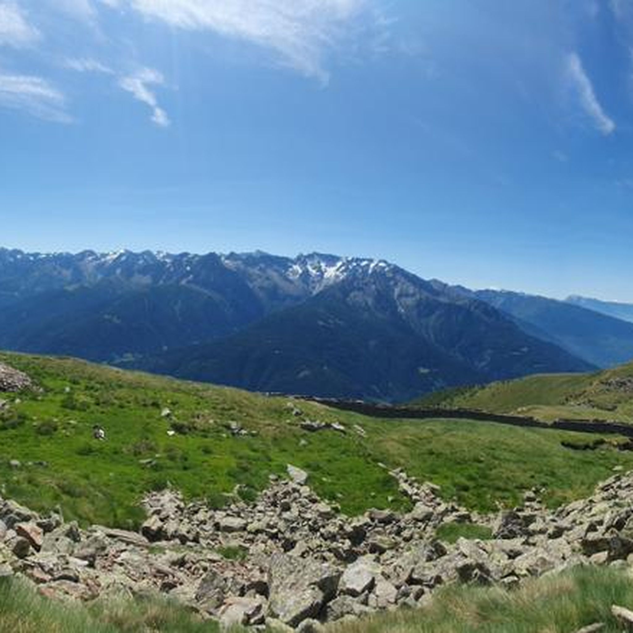
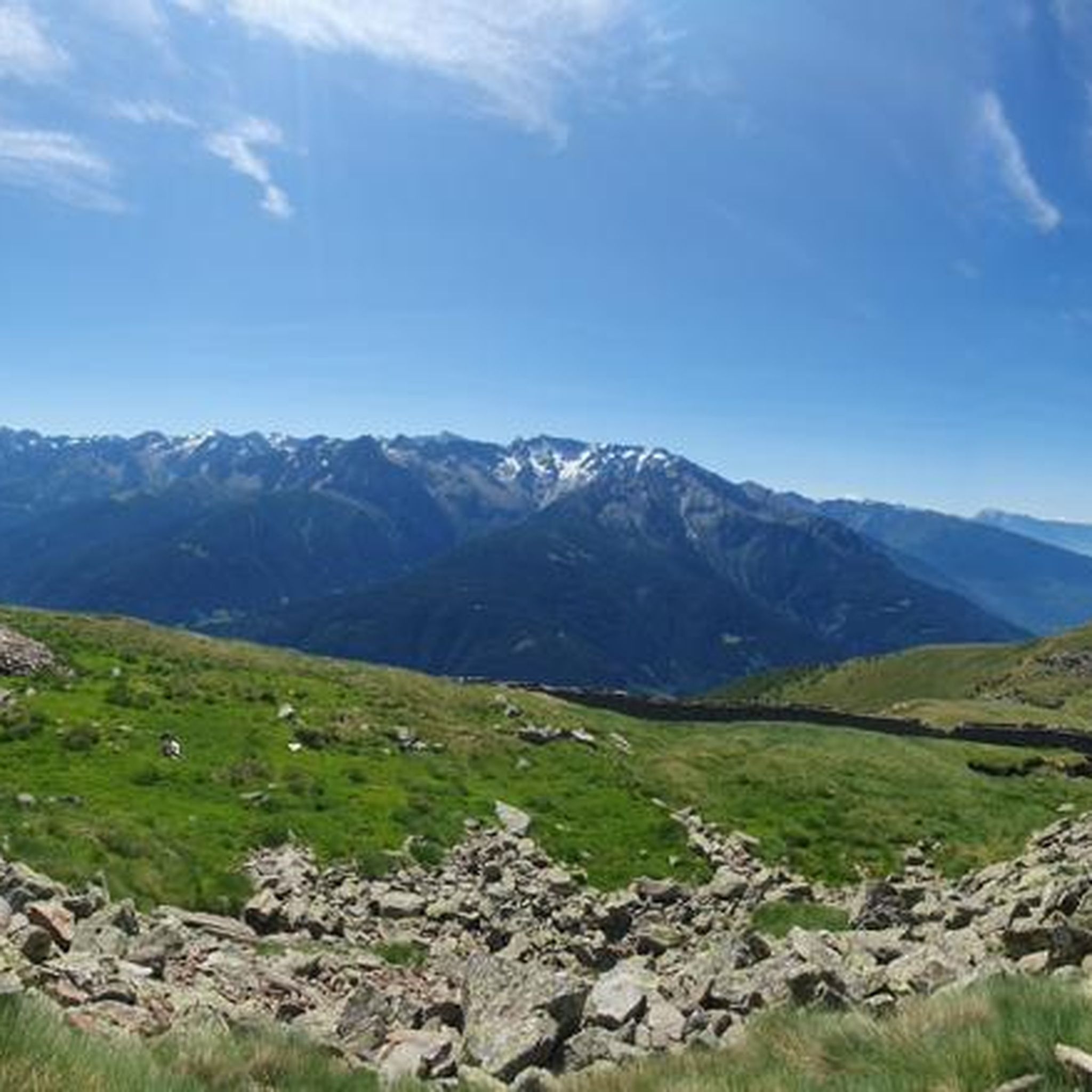
Mountaineering around Incudine is centered in the Valle Camonica, an area characterized by its position on the River Oglio. The landscape features rich pastures, dense conifer woods, and green meadows, with some sections extending into the Adamello Park. The northern tip of the region offers distinct Alpine environments, including Val Andrina and Mount Pagano, providing varied terrain for mountaineering.
Best mountaineering routes around Incudine
- The most popular mountaineering route is Lago Miller – Malga del Miller loop from Malga Premassone…
Last updated: September 24, 2026
3.0
(1)
22
hikers
7.66km
03:17
570m
570m
Moderate mountaineering route. Good fitness required. Mostly accessible paths. Sure-footedness required.
3.0
(1)
23
hikers
7.66km
03:17
570m
570m
Moderate mountaineering route. Good fitness required. Mostly accessible paths. Sure-footedness required.

8
hikers
14.0km
05:34
1,010m
1,010m
Hard mountaineering route. Very good fitness required. Mostly accessible paths. Sure-footedness required.
8
hikers
11.4km
08:17
1,300m
1,300m
Hard mountaineering route. Very good fitness required. Sure-footedness, sturdy shoes and alpine experience required.
5
hikers
5.97km
03:14
460m
460m
Hard mountaineering route. Good fitness required. Sure-footedness, sturdy shoes and alpine experience required.
Our route recommendations are based on thousands of hikes, rides, and runs completed by other people on komoot.
Start today with a free account
Your next adventure awaits.

Tips from the Community

It is called Lago Aviolo and NOT d'Aviolo
0
0

Here, Corno Miller on one side, Cima Ugolini on the other, Pian di Neve that opens up, it's a marvel
1
0

Excellent refuge, the refugee is very knowledgeable and always willing to offer advice. The food is good and the facility is well-maintained, and lastly, it's really cheap.
0
0
Excellent refuge. The refugee is very knowledgeable and available for advice. The food is good, the structure is well-maintained, sustainable, and finally, it's cheap for what you get. Highly recommended.
0
0

Vezza d'Oglio is a charming community in the upper Val Camonica. Thanks to the numerous side valleys that surround it (the Val Grande; the Val Paghera and the Val Bighera), it is possible to observe its morphology from above, capturing the great river that meanders and flows into the historic center.
0
0

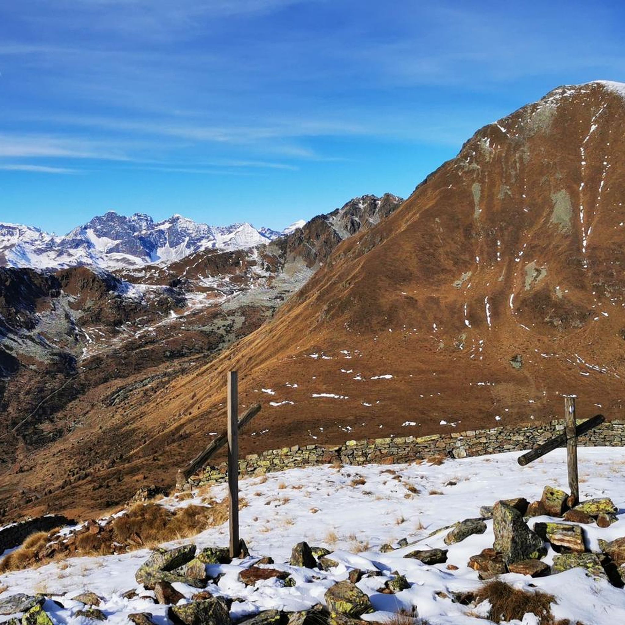
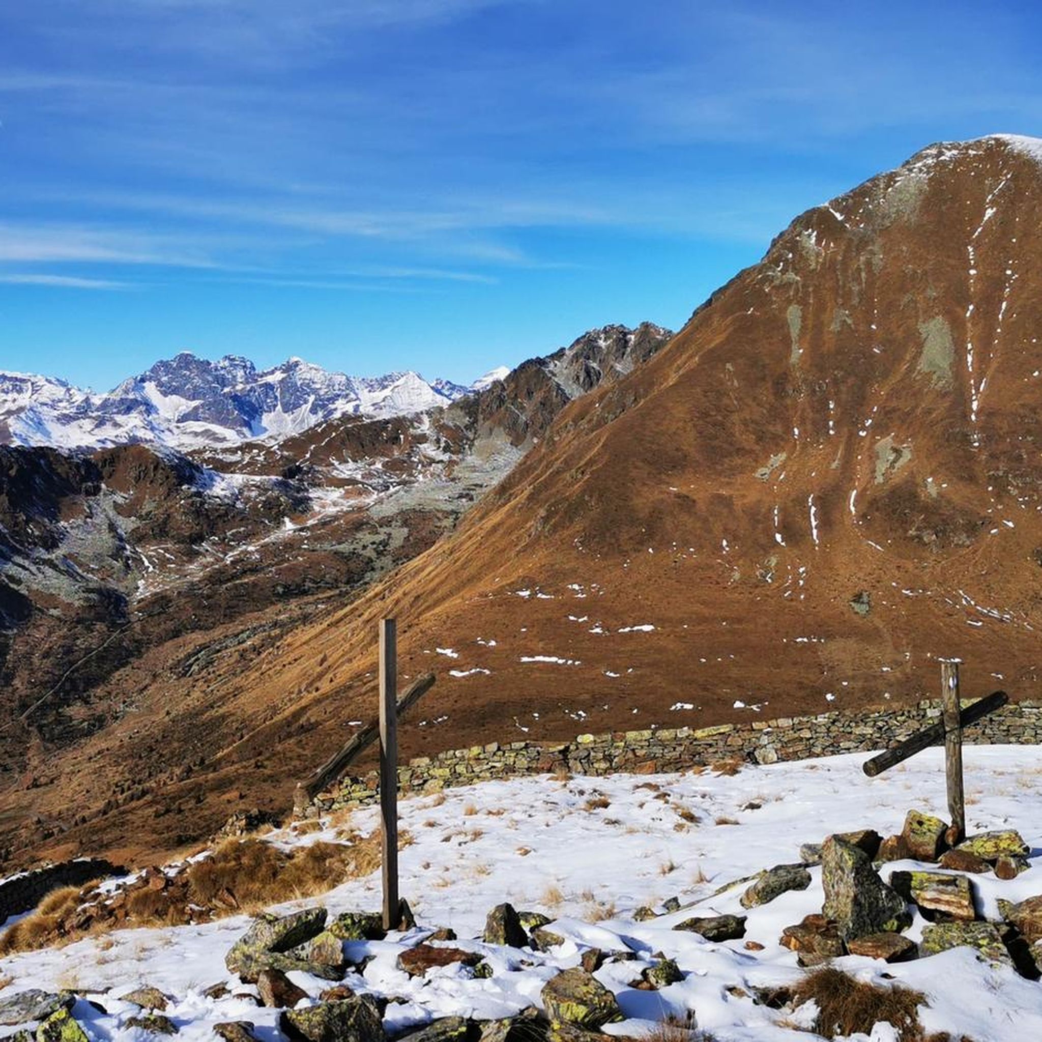
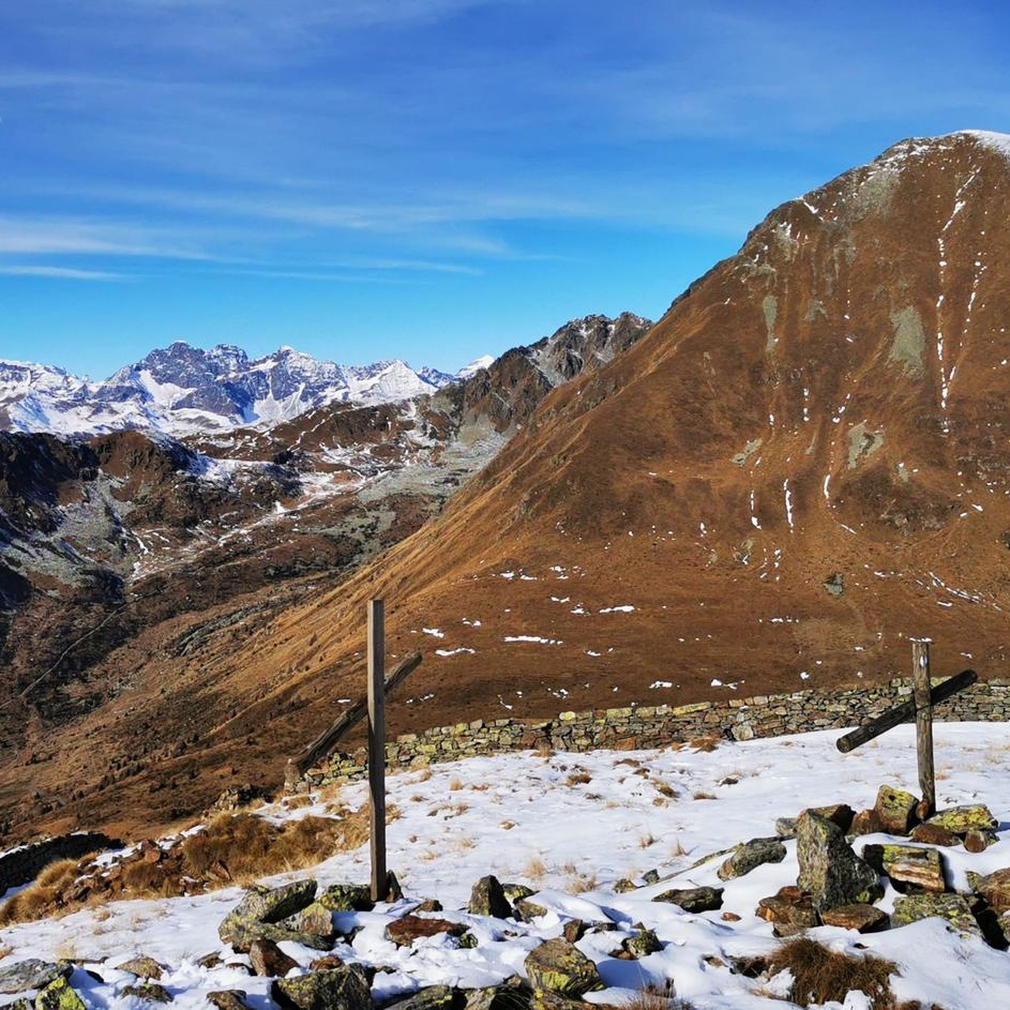
The last stretch to reach the cross must be done on foot or carrying the bike on your shoulder, but the view is certainly worth it. Beautiful view even if (obviously) it's very windy at the top. In mid-June there was still some residual snow, so I recommend going there from July onwards.
1
0
Frequently Asked Questions
How many mountaineering routes are available around Incudine?
There are 8 mountaineering routes available around Incudine, offering a range of difficulties from moderate to difficult. These routes are primarily located within the Val Camonica and extend into the Adamello Park.
What kind of terrain can I expect on mountaineering routes near Incudine?
Mountaineering routes near Incudine feature diverse terrain, from rich pastures and dense conifer woods to rugged alpine environments. You'll encounter green meadows, high-altitude landscapes, and areas within the Adamello Group, including peaks like San Vito and Corno Plazza.
Are there any beginner-friendly mountaineering routes in Incudine?
While most routes are challenging, there are some moderate options. For instance, the Lago Miller – Malga del Miller loop from Malga Premassone is a moderate 7.7 km trail that takes around 3 hours 18 minutes, featuring significant elevation gain through alpine landscapes.
What are some challenging mountaineering routes for experienced climbers?
Experienced mountaineers can tackle routes like the Lake Avio loop from Malga Caldea, an 18.5 km difficult path with extensive views and challenging ascents. Another demanding option is the Monte Adamello – Pian di Neve Glacier loop from Rifugio Serafino Gnutti, which is 11.4 km through high alpine terrain.
Can I find circular mountaineering routes in the Incudine area?
Yes, many routes are designed as loops. Examples include the Lago Miller – Malga del Miller loop from Malga Premassone and the Lake Avio loop from Malga Caldea, offering varied scenery without retracing your steps.
What natural attractions or landmarks can I see along the routes?
Along the routes, you can encounter stunning natural features such as Lake Aviolo and Lake Avio. The region is also home to significant peaks like Cima Rovaia and Monte Adamello, offering panoramic views.
Are there any historical sites or cultural points of interest near the mountaineering routes?
Yes, the area around Incudine has historical significance. You can explore sites like the Santuario di S. Vito and Sant'Anna, a historic sanctuary at 1,877 meters. Further afield, you might find castles such as Castello Visconteo and Castello di Pedenale, or the Parco delle Incisioni Rupestri di Grosio.
Is Incudine suitable for family mountaineering trips?
While many routes are challenging, the diverse landscape of Val Camonica offers options. For families, it's best to research specific trails for their difficulty and length. The region's pastures and forests provide a beautiful setting, but high alpine routes require experience.
Are dogs allowed on the mountaineering trails in the Adamello Park area?
Regulations regarding dogs in Adamello Park can vary. It is advisable to check the specific rules of the Adamello Park authority before bringing your dog, as some areas or trails may have restrictions to protect wildlife or maintain trail conditions.
What is the best time of year for mountaineering in Incudine?
The best time for mountaineering in Incudine is typically during the warmer months, from late spring to early autumn (June to September), when trails are generally clear of snow and weather conditions are more stable. Always check local weather forecasts before heading out.
Are there mountain huts available for overnight stays near the routes?
Yes, the region has mountain huts that can serve as bases for multi-day climbs or provide shelter. For example, the Monte Adamello – Pian di Neve Glacier loop starts from Rifugio Serafino Gnutti, indicating the presence of such facilities.
What do other mountaineers say about the routes in Incudine?
The mountaineering routes in Incudine are highly rated by the komoot community, with an average score of 3.0 stars. Mountaineers often praise the varied terrain, from green meadows to rugged alpine environments, and the extensive views offered on many trails.
Most popular routes around Incudine
Most popular attractions around Incudine

Get inspired with the komoot mobile app


Explore more
Browse the best Mountain Hikes & Routes in other regions.
