The best walks and hikes around Ruschberg
4.5
(4822)
16,601
hikers
460
hikes
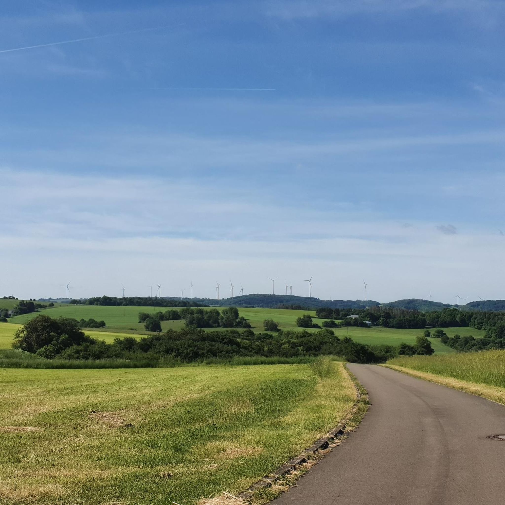
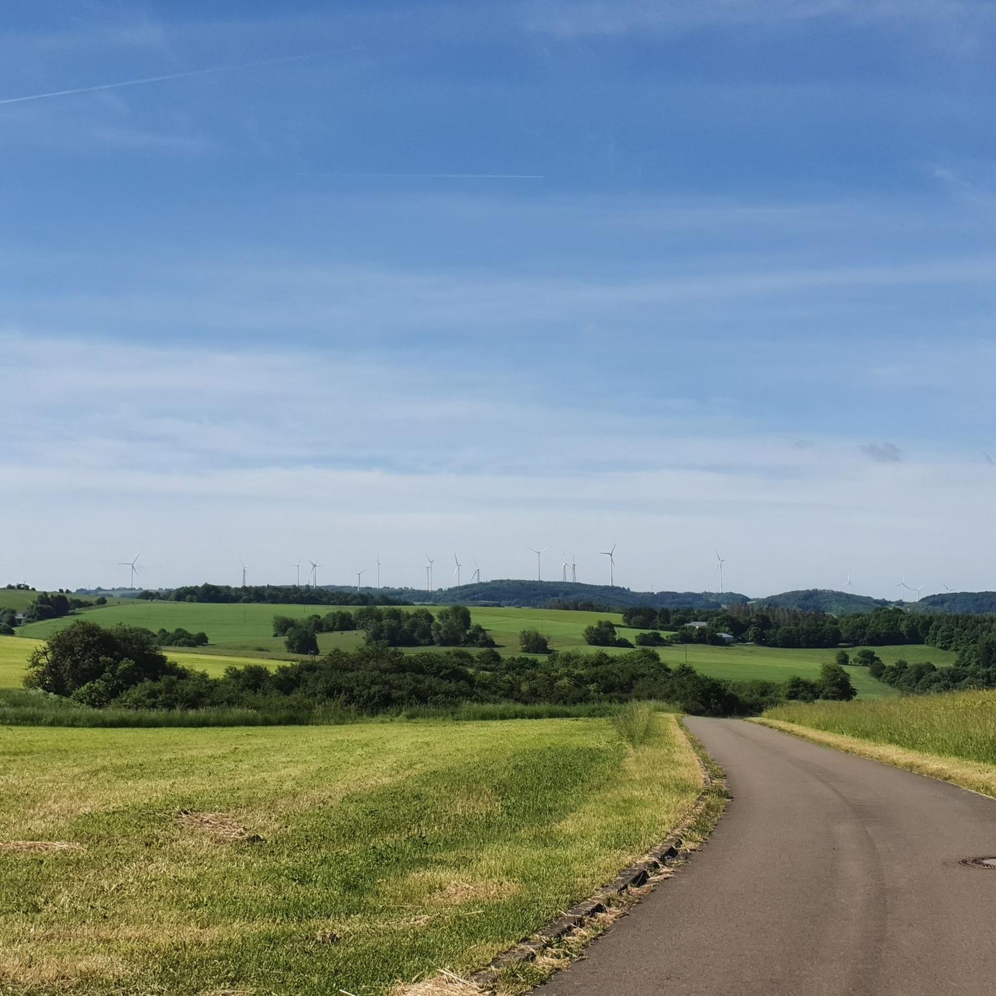
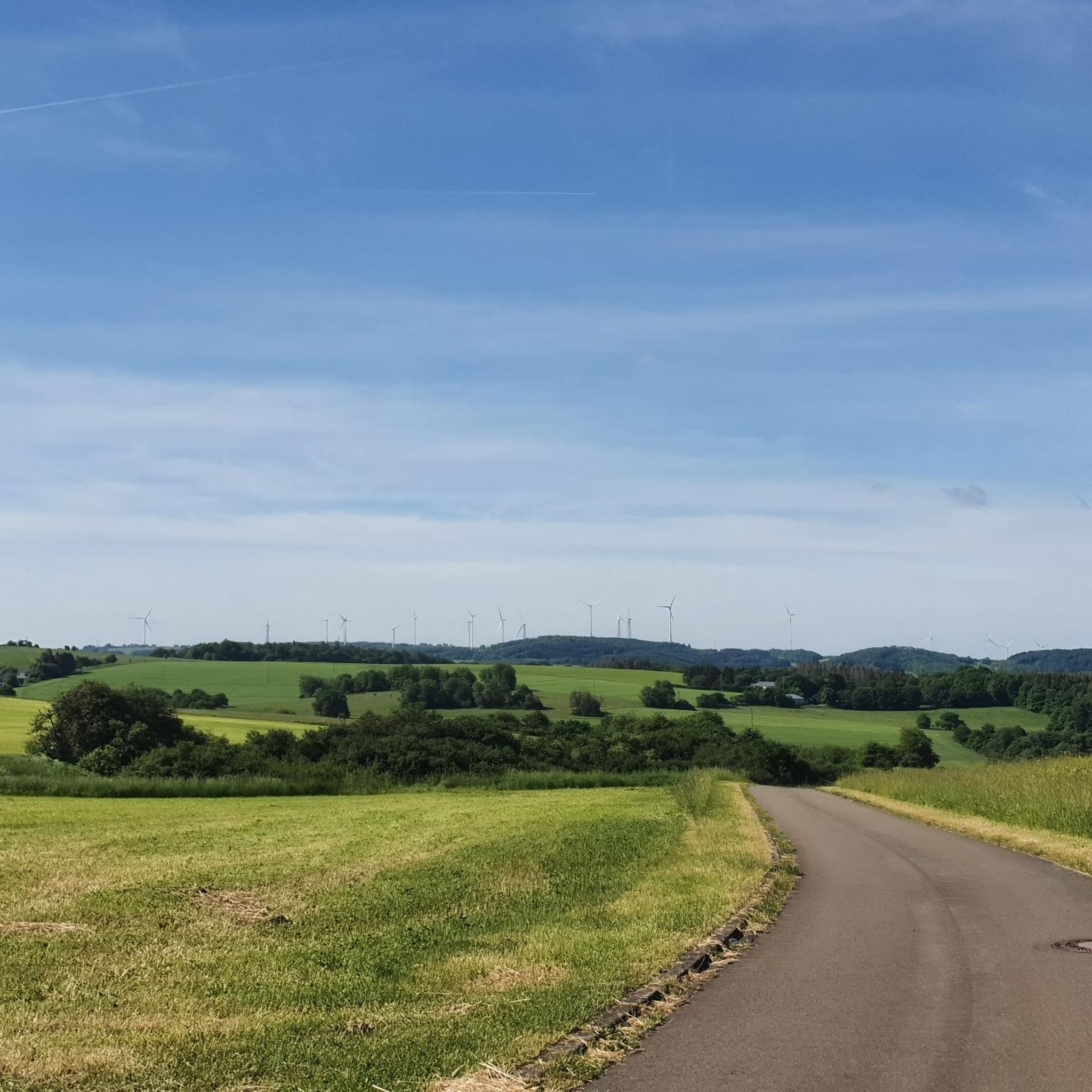
Hiking around Ruschberg offers diverse landscapes within the Saar-Hunsrück Nature Park. The region features dense forests, rolling hills, and charming river valleys, including the Nahe River. Hikers can encounter impressive rock formations and varied terrain throughout the area.
Best hiking trails around Ruschberg
- The most popular hiking route is Schleifmühle on the Nahe – Nahe Island Viewpoint loop from Heimbach Ort, a 6.6 miles (10.6 km) trail that takes 3 hours 5 minutes to complete, offering views of the…
Last updated: October 3, 2026
4.4
(7)
39
hikers
9.15km
02:30
140m
140m
Moderate hike. Good fitness required. Easily-accessible paths. Suitable for all skill levels.
4.9
(7)
24
hikers
Moderate hike. Good fitness required. Easily-accessible paths. Suitable for all skill levels.

4.7
(7)
31
hikers
Moderate hike. Good fitness required. Easily-accessible paths. Suitable for all skill levels.
5.0
(9)
27
hikers
16.0km
04:32
350m
350m
Moderate hike. Good fitness required. Easily-accessible paths. Suitable for all skill levels.
5.0
(2)
12
hikers
13.4km
03:41
230m
230m
Moderate hike. Good fitness required. Easily-accessible paths. Suitable for all skill levels.
Get access to more routes and recommendations from other explorers.
Already have an account?
Our route recommendations are based on thousands of hikes, rides, and runs completed by other people on komoot.
Start today with a free account
Your next adventure awaits.

Tips from the Community

When the DLRG is on site, swimming is allowed.
0
0

Bicycles are parked within the bathing area! Admission is free.
0
0

Directly after the bridge is the Nohener Schleifmühle.
1
0
The Finothek with several benches invites you to linger. Here there is a small cabinet with wine varieties Scheurebe, Riesling, Portugieser Rosé and Dornfelder. A 0.25 liter bottle costs €3 (as of 4/2026). Wine glasses are also in the cabinet. There is a box behind the cabinet where you put the glasses and empty bottles. Great idea! The view is also great and there is an emergency kit in the cabinet by the railing.
2
0
Impressive views including Felsenklipp, Nahe-Wiesen-Klipp, Naheblick, Weinschrank (don't forget change). In 2012, the German Hiking Institute rated the Nohener-Nahe-Schleife with 85 experience points in the initial certification. In the periodic recertification in 2024, the work of the volunteers active since 2011 was rewarded: 95 experience points were awarded to the Traumschleife, thus achieving an increase again compared to the years 2020 and 2021, when the Traumschleife already received a very good 92 points. See: https://www.nohen.de/nohener_nahe_schleife.html
1
0
The „Nahe-Insel“ viewpoint is an idyllic resting place directly on the river as part of the Traumschleife Nohener Nahe Schleife near Nohen. It is part of an approx. 11-12 km long, moderately difficult premium hiking trail that leads through the Nahe valley, forest passages and to rock cliffs. The Nahe island is located near the Haubartsbach, along the circular route, shortly before the crossing at the Schleifmühle.
1
0

A really nice surprise. Whether you're interested in trees, the Celts, or mythology, you can learn something new. A really nice surprise on my walk along the Nahesteig. I definitely learned something new.
0
0

Beautiful single trail
1
0
Frequently Asked Questions
How many hiking trails are available around Ruschberg?
Ruschberg offers a wide variety of hiking experiences with over 450 trails recorded on komoot. These range from easy strolls to more challenging routes, ensuring there's something for every hiker.
Are there hiking trails suitable for beginners in Ruschberg?
Yes, Ruschberg is very welcoming for beginners. There are over 230 easy hiking routes available, perfect for those looking for a relaxed walk through the scenic Saar-Hunsrück Nature Park. Many of these paths wind through charming stream valleys and forests.
What kind of terrain can I expect on the hiking trails in Ruschberg?
The region is characterized by diverse terrain, including dense forests, rolling hills, and picturesque river valleys, particularly along the Nahe River. You'll encounter varied forest areas, open meadows, and impressive rock formations, especially on trails like the Nahesteig. Some routes may require sure-footedness due to uneven paths.
Are there many circular hiking routes in the Ruschberg area?
Yes, many of the trails around Ruschberg are circular routes, offering convenient starting and ending points. Examples include the Schleifmühle on the Nahe – Nahe Island Viewpoint loop from Heimbach Ort, which provides views of the Nahe River, and the Church Path – Celtic Tree Circle loop from Heimbach Ort, which combines natural beauty with cultural interest.
Which trails offer the best views of the landscape?
For expansive vistas, consider routes that traverse the Hunsrück heights, offering distant views over the region. The Celtic Tree Circle – Nahe Island Viewpoint loop from Heimbach Ort leads to a notable viewpoint. Trails along the Nahe River, such as the Schleifmühle on the Nahe – Nahe Island Viewpoint loop, also provide beautiful river scenery.
Can I bring my dog on the hiking trails in Ruschberg?
Generally, dogs are welcome on the hiking trails in the Saar-Hunsrück Nature Park. It's always recommended to keep your dog on a leash, especially in forested areas, to protect wildlife and ensure a pleasant experience for all hikers.
What interesting landmarks or attractions can I find near the hiking trails?
Beyond the natural beauty, the Ruschberg area offers several points of interest. You can explore historical sites like the Bear Cave or the Wildfrauenloch (Wild Women's Cave). For those interested in history, the Ungeheuerstein Memorial – Ungeheuerstein Forest Trail loop from Baumholder leads to a significant memorial. The region also features several castles, such as the Ruins of Bosselstein Castle and Oberstein Castle, which are worth exploring.
What do other hikers enjoy most about hiking in Ruschberg?
The hiking trails around Ruschberg are highly rated by the komoot community, with an average score of 4.5 stars from over 4,100 reviews. Hikers often praise the diverse landscapes, the tranquility of the forests, and the well-maintained paths that offer a mix of natural beauty and historical elements.
Are there any less crowded hiking options in Ruschberg?
While popular routes can see more visitors, with over 450 trails, it's easy to find quieter paths, especially outside of peak times. Exploring some of the moderate or slightly more challenging routes, or those a little further from main access points, can often lead to a more solitary experience amidst nature.
What is the best time of year to go hiking in Ruschberg?
Ruschberg offers beautiful hiking experiences throughout the year. Spring brings blooming cherry and apple trees, while autumn transforms the forests with vibrant colors. Summer is ideal for longer hikes, and even winter can be magical with snow-covered landscapes, though some trails might require more appropriate gear.
Are there any challenging trails for experienced hikers?
Yes, for experienced hikers seeking a challenge, Ruschberg offers 14 difficult routes. These trails often feature more significant elevation changes and rugged terrain, requiring good fitness and sure-footedness. The Nahesteig, for instance, is known for its impressive rock formations and can be quite demanding in sections.
Most popular attractions around Ruschberg

Get inspired with the komoot mobile app


Explore more
Browse the best Hikes in other regions.
