The best road cycling routes around Villachiara
4.2
(126)
2,230
riders
187
rides
Road cycling around Villachiara is characterized by its predominantly flat landscape, typical of the Lombardy plains, with an average elevation of 75 meters. The region is shaped by the Oglio River and encompasses parts of the Parco Oglio Nord, featuring natural reserves like Bosco dell'Uccellanda. These natural features provide a scenic backdrop for road cycling routes, which often follow the riverbanks and traverse agricultural areas. The area's connection to the extensive Ciclovia dell'Oglio offers numerous options for cyclists.
Best road…
Last updated: October 4, 2026
4.8
(5)
41
riders
Moderate road ride. Good fitness required. Some segments of this route may be unpaved and difficult to ride.
3.0
(1)
22
riders
43.5km
01:51
110m
110m
Easy road ride. Great for any fitness level. Mostly well-paved surfaces and easy to ride.

24
riders
44.3km
02:31
140m
140m
Moderate road ride. Good fitness required. Some segments of this route may be unpaved and difficult to ride.
2.0
(1)
20
riders
30.3km
01:57
80m
80m
Moderate road ride. Great for any fitness level. Some segments of this route may be unpaved and difficult to ride.
5.0
(1)
15
riders
26.2km
01:12
100m
100m
Easy road ride. Great for any fitness level. Mostly well-paved surfaces and easy to ride.
Get access to more routes and recommendations from other explorers.
Already have an account?
Our route recommendations are based on thousands of hikes, rides, and runs completed by other people on komoot.
Start today with a free account
Your next adventure awaits.
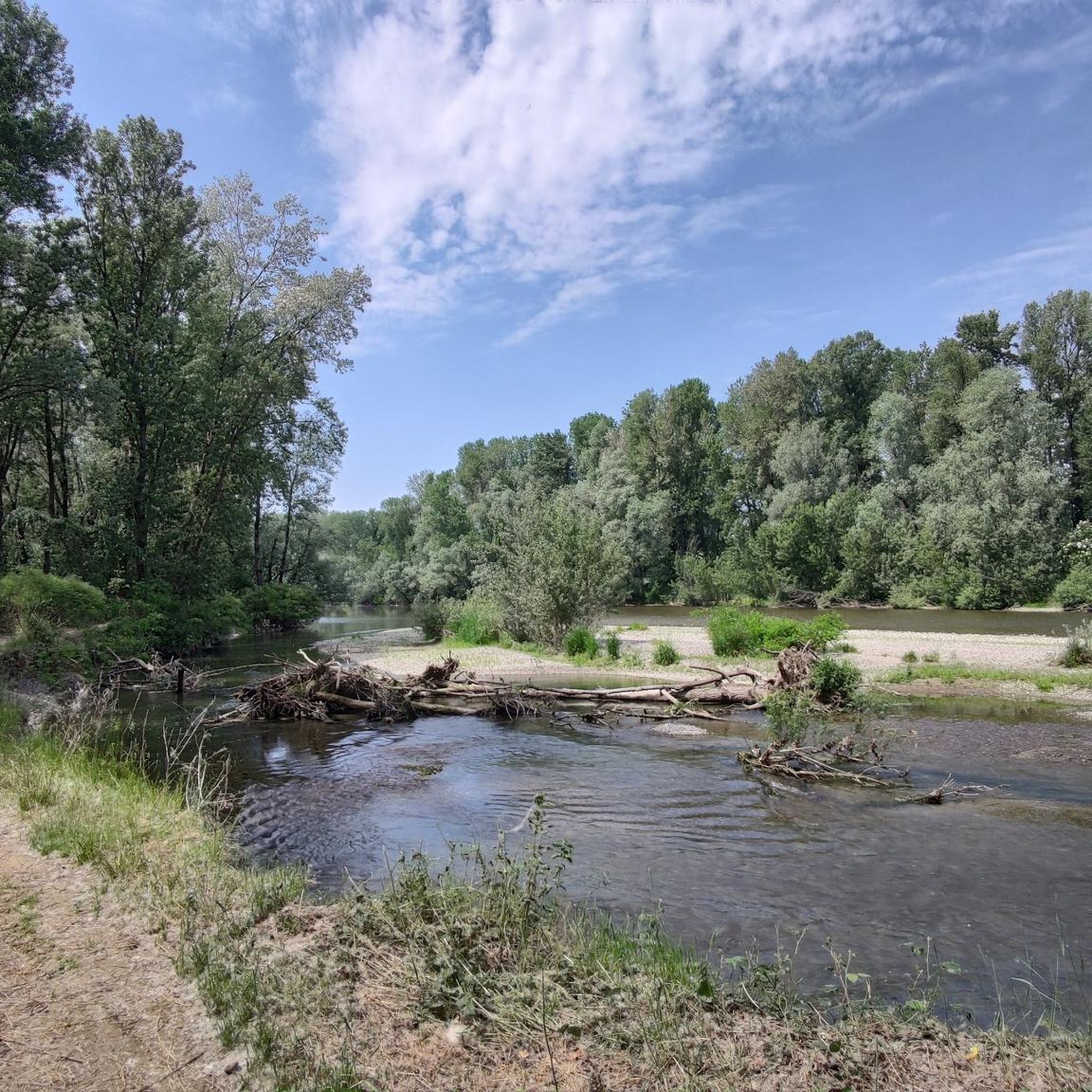
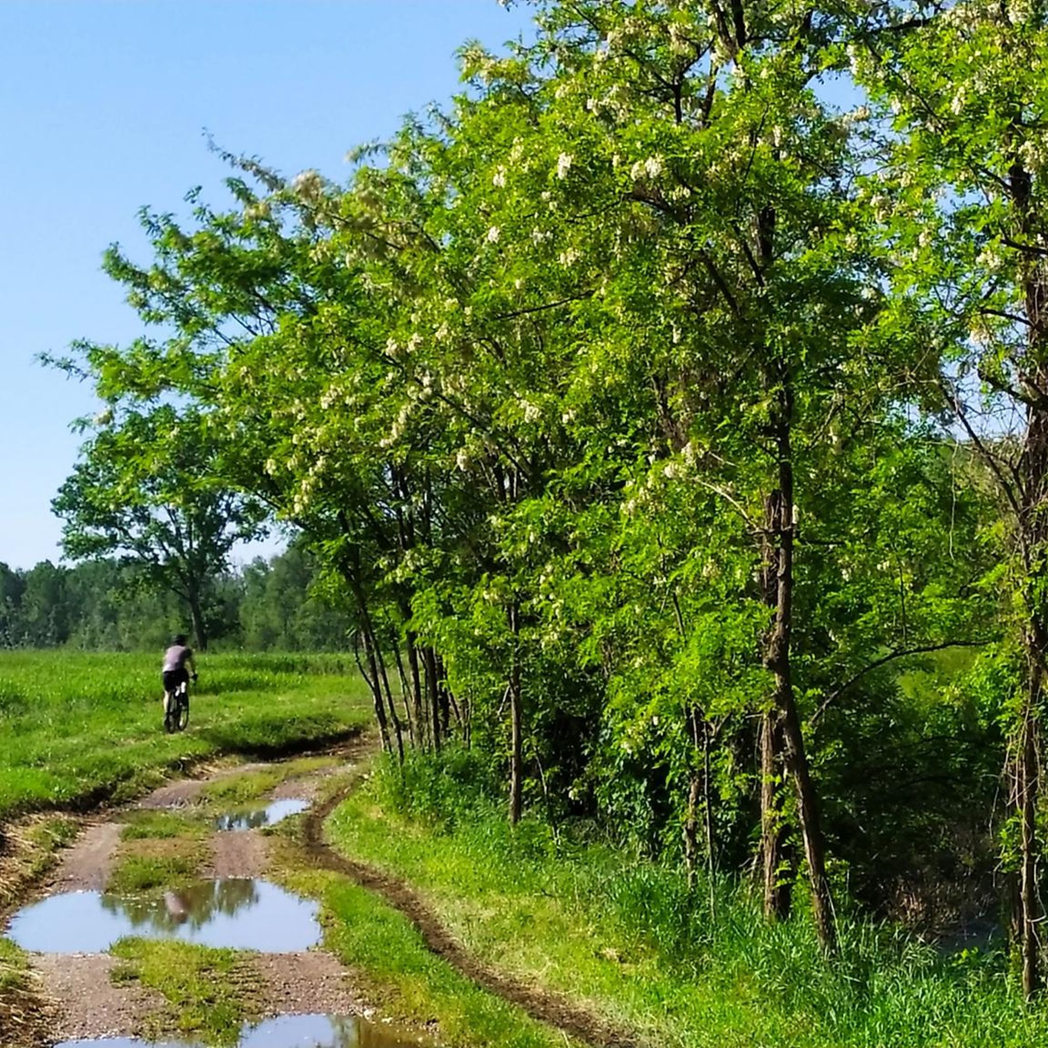

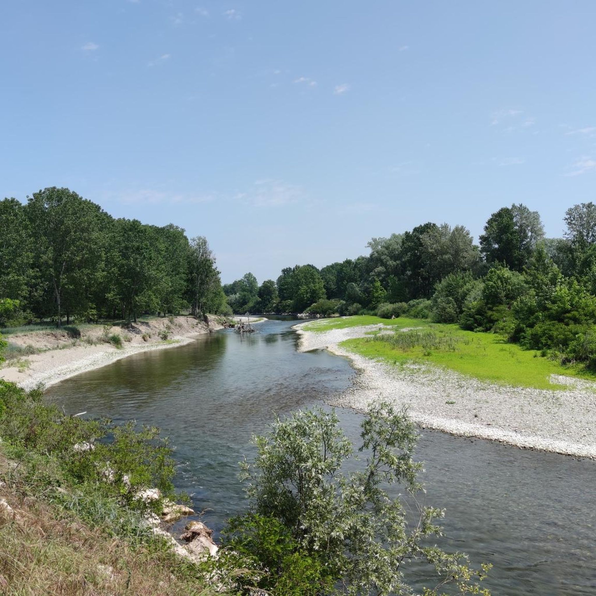
Tips from the Community

one of the many rural chapels you find along the route
0
0
very beautiful cycle path, immersed in greenery and silence
0
0

The Chapel of Sant'Obizio looks like a little mountain corner in the middle of the plain, stop on the bench and enjoy a moment of peace
0
0

A cycle/pedestrian bridge over the Oglio River between Urago d'Oglio and Calcio is finally no longer on the main road.
0
0

Always a happy presence and a passage in many of our tours, I think it is one of the most photographed highlights
2
0

Nice route. Areas I frequent often. A tip. Po, proper name of river, is written as you see it written here, without accent.
0
0

The Naviglio Pallavicino, a historic canal in the Cremona irrigation network, crosses the agricultural landscape with its waterways and bridges. A place where history and nature meet, offering a fascinating journey through fields and ancient villages.
2
0

Frequently Asked Questions
How many road cycling routes are available around Villachiara?
There are over 200 road cycling routes around Villachiara, offering a wide range of options for cyclists of all abilities. The komoot community has explored these routes over 2,000 times.
What kind of terrain can I expect when road cycling near Villachiara?
Road cycling around Villachiara is characterized by its predominantly flat landscape, typical of the Lombardy plains, with an average elevation of 75 meters. Routes often follow the Oglio River and traverse agricultural areas, providing a scenic and generally easy-going experience.
Are there routes suitable for beginners or families?
Yes, Villachiara offers many easy routes perfect for beginners or family outings. For example, the Padernello Castle – Martinengo Castle loop from Orzinuovi is an easy 19.7-mile (31.8 km) path connecting historical landmarks with varied scenery across low-lying terrain.
What are the difficulty levels of road cycling routes in Villachiara?
The routes in Villachiara cater to various ability levels. You'll find approximately 60 easy routes, 137 moderate routes, and 10 more challenging options, ensuring there's something for everyone from casual riders to experienced cyclists.
What interesting landmarks or attractions can I see along the road cycling routes?
Many routes pass by historical and natural points of interest. You can cycle past the impressive Padernello Castle or the Sforza Castle in Soncino. The area also features natural reserves like the Bosco dell'Uccellanda within the Parco Oglio Nord, offering beautiful natural backdrops.
Are there any long-distance or circular road cycling routes?
Yes, many routes are designed as loops, allowing for varied distances. The Roadbike loop from Genivolta is a popular moderate route spanning 39.9 miles (64.3 km), offering extensive riding through the flat plains. The extensive Ciclovia dell'Oglio also provides opportunities for longer journeys along the river.
What do other cyclists say about road cycling in Villachiara?
The road cycling routes in Villachiara are highly rated by the komoot community, with an average score of 4.2 stars from over 90 reviews. Cyclists often praise the quiet agricultural landscapes, the well-maintained paths along the Oglio River, and the opportunity to combine cycling with visits to historical sites.
Is it possible to combine road cycling with exploring the Franciacorta wine region?
Absolutely. The proximity to the Franciacorta region, renowned for its wine production, allows cyclists to combine their rides with visits to vineyards and charming villages. The Franciacorta cycling itineraries wind through vineyards and areas of natural, historical, and artistic interest.
What is the best time of year for road cycling in Villachiara?
The Lombardy plains generally offer pleasant cycling conditions during spring (April-May) and autumn (September-October) when temperatures are mild. Summer can be warm, but early mornings or late afternoons are still enjoyable. Winter cycling is possible, though cooler temperatures and occasional fog should be expected.
Are there specific routes that follow the Oglio River?
Yes, Villachiara is notably connected to the extensive Ciclovia dell'Oglio, which traces the Oglio River for approximately 280 km. Many local routes incorporate sections of this path, offering cyclists a journey through diverse landscapes within the Parco Oglio Nord.
Where can I find parking for road cycling routes in Villachiara?
While specific parking areas for each route are not always designated, Villachiara and surrounding towns like Orzinuovi or Azzanello typically offer public parking options. It's advisable to check local parking availability near your chosen route's starting point.
Are there any routes that feature historical castles?
Yes, several routes incorporate historical castles. The Padernello Castle – Martinengo Castle loop from Orzinuovi is a prime example, connecting two notable historical landmarks. The region itself is dotted with castles, including the Martinengo Castle of Villachiara.
Most popular routes around Villachiara
Most popular attractions around Villachiara

Get inspired with the komoot mobile app


Explore more
Browse the best Road cycling routes in other regions.
