The best walks and hikes around Berzo Inferiore
4.4
(2240)
13,457
hikers
13
hikes
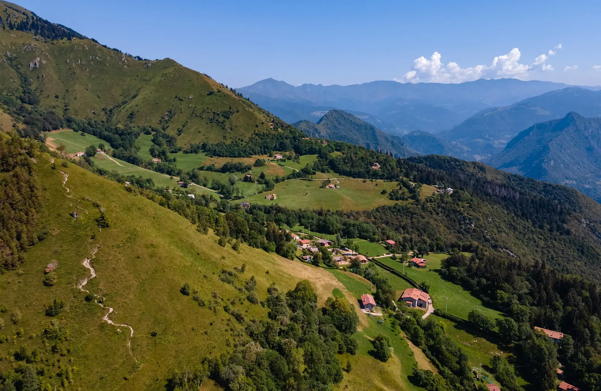
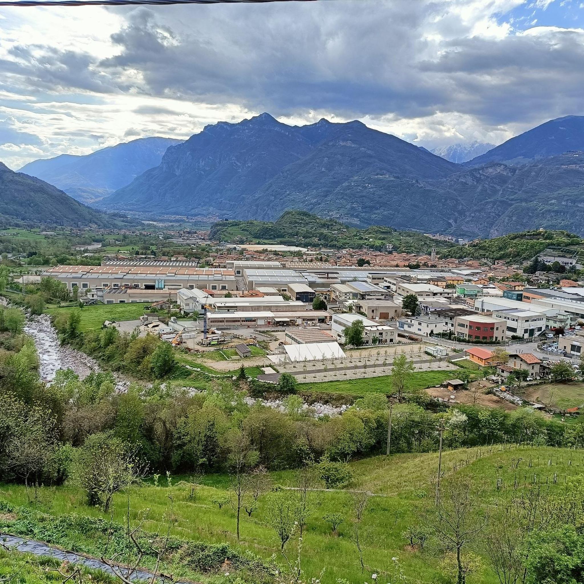
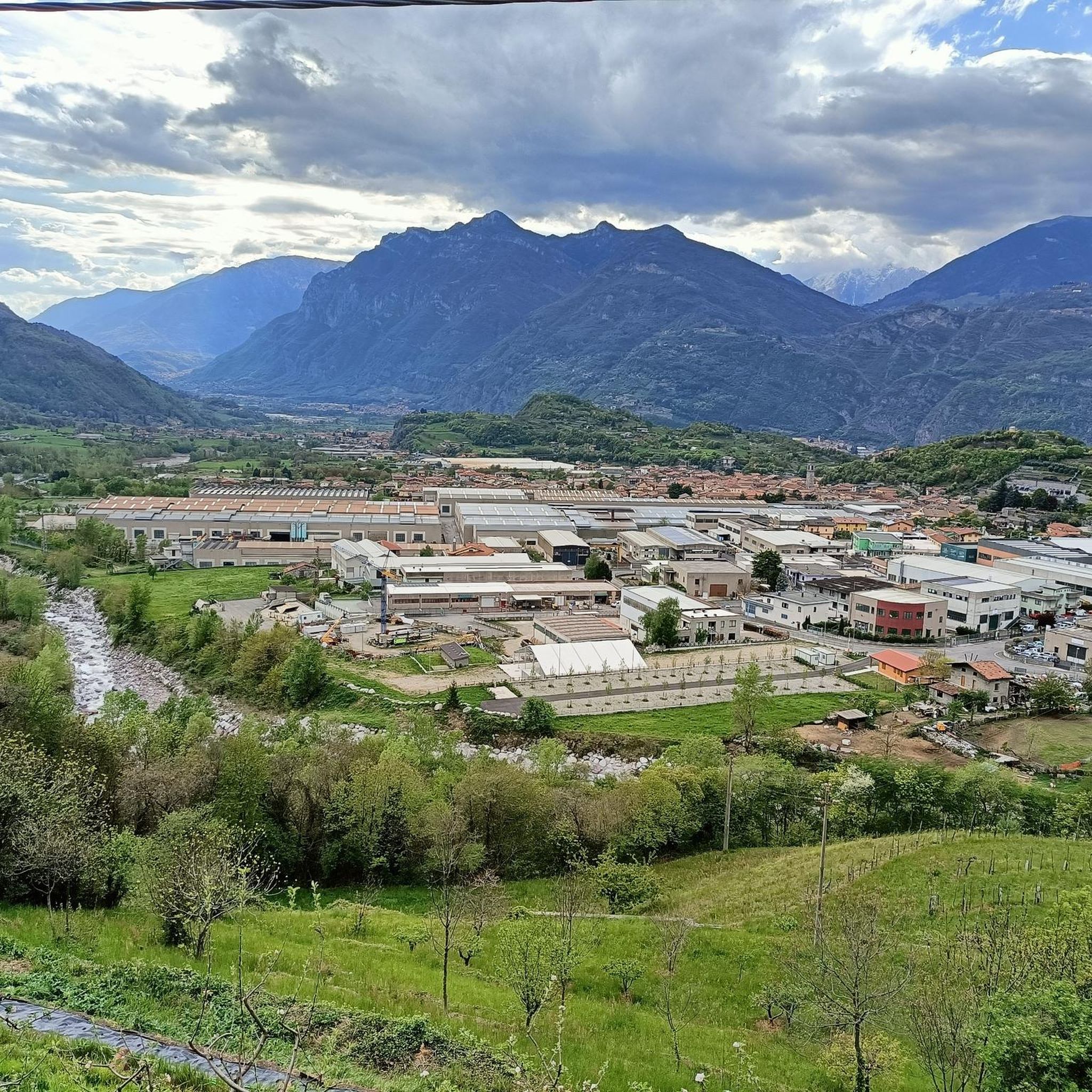
Hiking around Berzo Inferiore offers diverse outdoor experiences within the picturesque Valle Camonica, in the province of Brescia, Italy. The region is characterized by its mountainous terrain, featuring prominent peaks like Monte Muffetto, serene alpine lakes such as Lake Lova and Lake Moro, and verdant valleys like Val Grigna. Hikers can explore a landscape rich with dense forests, historical elements, and varied elevations.
Best hiking trails in Berzo Inferiore
- The most popular hiking route is Val Grigna Forest Trail to…
Last updated: October 10, 2026
13.1km
05:11
980m
980m
Hard hike. Very good fitness required. Mostly accessible paths. Sure-footedness required.
6.47km
02:10
290m
290m
Moderate hike. Good fitness required. Mostly accessible paths. Sure-footedness required.

11.5km
04:01
540m
540m
Moderate hike. Good fitness required. Mostly accessible paths. Sure-footedness required.
4.8
(4)
19
hikers
6.97km
02:37
450m
450m
Moderate hike. Good fitness required. Easily-accessible paths. Suitable for all skill levels.
3.0
(1)
8
hikers
6.33km
01:51
180m
180m
Easy hike. Great for any fitness level. Easily-accessible paths. Suitable for all skill levels.
Get access to more routes and recommendations from other explorers.
Already have an account?
Our route recommendations are based on thousands of hikes, rides, and runs completed by other people on komoot.
Start today with a free account
Your next adventure awaits.

Other adventures around Berzo Inferiore

Tips from the Community

Bienno, one of the most beautiful villages in Italy (Borghi più belli d’Italia), an ancient municipality with an incredible charm that fills the middle Valle Camonica with pride and history. Rich in wonderful views and picturesque courtyards, surrounded by the green of the mountains, the small Camonica center is a pearl to be discovered! Medieval village and a splendid example of Roman settlement, Bienno is every year a tourist destination for thousands of people who stop for a break among historic palaces and museums, frescoed churches, corners of nature, and excellent local food.
0
0
Bienno, a well-known medieval village in Valcamonica, offers breathtaking panoramas among hills, ancient views, and mountain views of Valgrigna. The main panoramic points include the Monumento a Cristo Re (reachable in 20 minutes on foot, it offers a view of the village), the panoramic area of via Ripa, and the heights of Barberino.
1
0
The church of San Pietro in Vincoli in Bienno (BS) is an ancient place of worship, now deconsecrated, located along the Strada Statale n.345, just outside the historic center of the village. The building features a simple but evocative architecture, typical of rural religious structures in Valle Camonica. The church has a rectangular single-nave plan, covered by three cross vaults. The perimeter walls are exposed stone and the facade is preceded by a portico attached to the long side facing the road. A characteristic bell gable stands on the eastern corner of the apse.
1
0
These sculptures belong to the charming village of Bienno, located in Val Camonica, in the province of Brescia. Bienno is officially recognized as one of the "Most Beautiful Villages in Italy" and is famous for being a "village of artists", where numerous contemporary art installations blend with medieval architecture. The work depicts a man and a woman, probably peasants or historical inhabitants of the village, caught in a moment of quiet as they lean over a low wall. The statues are made in a figurative, material style, recalling local traditions and the daily life of the past.
1
0
The hydraulic wheels of Bienno, in Val Camonica (BS), are the historical symbol of the ironworking and cereal milling of the village, powered since the Middle Ages by the Vaso Rè, an artificial canal that crosses the town. Driven by the force of the Grigna stream, these paddle wheels still move the heavy hammers in the forges and the millstones today, representing a precious example of functioning industrial archaeology. The water of the Grigna stream is conveyed into the "Vaso Rè" canal and, through a wooden pipeline, it falls onto the bucket wheels ("paddle wheels"), transforming potential energy into rotational movement for the internal gears. The hydraulic technology spread in Bienno starting from the 10th century, thanks to the Benedictine monks, allowing the village to become a crucial center for iron forging.
1
0
On the gate pillars are placed two terracotta busts depicting historical figures of communism: Vladimir Lenin on the left and Karl Marx on the right.
1
0
The famous house decorated with ancient work tools in the village of Bienno, located in Val Camonica. Bienno (BS), known for its historic tradition in iron and water processing. The facade of the building is entirely covered with hanging metal and wrought iron objects. The village is recognized as one of the "Most beautiful villages in Italy" (Borghi più belli d'Italia) and hosts still-functioning forges.
1
0
The building is spread over three floors. The ground floor is occupied by machinery, while the miller's dwelling has been preserved on the two upper floors, remaining intact in its original layout and still visitable. On the first floor, some explanatory panels and some simple machinery for carrying out workshops have been installed. In the external space in front, you can observe the large water wheel and the long aerial channel that carries the water from the Vaso Rè, clearly visible on the ground with its stone channel. The Mulino Museo collects in particular goods and agro-silvo-pastoral activities, related to livestock farming, milk processing, haymaking, cereal cultivation, field work, transport, viticulture, fruit growing, horticulture, forestry, beekeeping, wool processing, weaving, furnishings and decor, clothing and family economy, popular religiosity.
1
0
Frequently Asked Questions
How many hiking trails are available around Berzo Inferiore?
Berzo Inferiore offers a selection of 14 hiking trails, catering to various skill levels. You'll find 6 easy, 6 moderate, and 2 difficult routes, ensuring options for everyone from casual walkers to experienced trekkers.
Are there any easy or beginner-friendly hikes in Berzo Inferiore?
Yes, there are 6 easy routes suitable for beginners or those looking for a relaxed stroll. These trails allow you to enjoy the beautiful landscapes of Valle Camonica without significant challenge.
What kind of terrain can I expect on the hiking trails in Berzo Inferiore?
The terrain around Berzo Inferiore is characterized by its mountainous nature, featuring serene alpine lakes like Lake Lova and Lake Moro, and dense forest paths, particularly within the Val Grigna. You'll encounter varied elevations and picturesque natural settings.
Are there any circular walks available in Berzo Inferiore?
Yes, for those who prefer to start and end in the same location, there are circular routes. An example is The Guardian of the Trail – Owl Sculpture Bench at Cusen loop from Berzo Inferiore, a moderate 6.9 km hike that takes about 2 hours 37 minutes.
What natural features or landmarks can I see along the hiking trails?
Hikers can discover a variety of natural and historical attractions. You might encounter stunning waterfalls like the Valbona Stream Waterfall or the Valle Dasdana Stream and Waterfall. The region also boasts impressive peaks such as the Monte Muffetto summit, offering extensive panoramic views, and the historical Historic Center of Bienno.
Are there mountain huts or refuges along the hiking routes?
Yes, the area features several mountain huts that offer resting points and often spectacular views. Notable huts include the Dosso Rotondo Hut and Rifugio Blachì 2, which provide sensational views of the upper Val Trompia.
What is the best time of year to go hiking in Berzo Inferiore?
The region is ideal for hiking from spring through autumn. During these seasons, the weather is generally pleasant, and the natural landscapes, including the verdant valleys and alpine lakes, are at their most beautiful. Winter hiking is also possible, but may require specific gear and awareness of snow conditions.
What do other hikers enjoy most about the trails in Berzo Inferiore?
The trails around Berzo Inferiore are highly rated by the komoot community, with an average score of 4.5 stars from over 1,800 reviews. Hikers often praise the diverse terrain, from challenging mountain ascents to serene forest paths, and the breathtaking panoramic views from peaks like Monte Muffetto.
Are there any family-friendly hiking options in the area?
While specific family-friendly routes are not highlighted, the 6 easy trails available in Berzo Inferiore are generally suitable for families with children, offering less strenuous options to enjoy the natural beauty of Valle Camonica.
Can I bring my dog on the hiking trails in Berzo Inferiore?
Many trails in natural areas like Berzo Inferiore are dog-friendly, but it's always recommended to keep your dog on a leash, especially in areas with wildlife or livestock, and to check specific trail regulations before heading out.
Are there any trails that lead to panoramic viewpoints?
Absolutely. Many routes in the region offer stunning vistas. For instance, the area around Monte Muffetto summit is renowned for its extensive panoramic views of the Orobie Alps, Presolana, the Adamello massif, and glimpses of Lake Iseo and Valle Camonica.
How long do the hikes in Berzo Inferiore typically take?
Hiking durations vary significantly depending on the trail's difficulty and length. For example, a moderate route like the San Glisente Sanctuary Trail (via Route 770) can be completed in about 2 hours 10 minutes, while more difficult trails can take over 5 hours.
Most popular routes around Berzo Inferiore
Most popular attractions around Berzo Inferiore

Get inspired with the komoot mobile app


Explore more
Browse the best Hikes in other regions.
