The best MTB trails around Ono San Pietro
4.5
(297)
2,275
riders
107
rides
Mountain biking around Ono San Pietro offers a diverse landscape for riders. The region is characterized by its position within the Camonica Valley, surrounded by the Adamello Mountains, providing varied elevation changes. Trails often navigate through mountainous terrain, connecting huts and offering expansive views. The area features a mix of challenging climbs and descents, suitable for experienced mountain bikers.
Best mountain bike trails around Ono San Pietro
- The most popular mountain bike trail is De Marie al Volano Hut –…
Last updated: July 6, 2026
4.3
(18)
125
riders
Moderate mountain bike ride. Good fitness required. Suitable for all skill levels.
4.6
(14)
97
riders
Hard mountain bike ride. Very good fitness required. Advanced riding skills necessary.

Sign up for free
5.0
(5)
81
riders
25.0km
02:46
1,110m
1,110m
Hard mountain bike ride. Very good fitness required. Advanced riding skills necessary.
4.5
(6)
76
riders
38.0km
03:47
1,130m
1,130m
Hard mountain bike ride. Very good fitness required. Advanced riding skills necessary.
5.0
(1)
24
riders
48.8km
04:57
1,830m
1,830m
Hard mountain bike ride. Very good fitness required. Advanced riding skills necessary. Some portions of the route may require you to push your bike.
Get access to more routes and recommendations from other explorers.
Sign up for free
Already have an account?
Our route recommendations are based on thousands of hikes, rides, and runs completed by other people on komoot.
Start today with a free account
Your next adventure awaits.
Login or Signup
Popular around Ono San Pietro

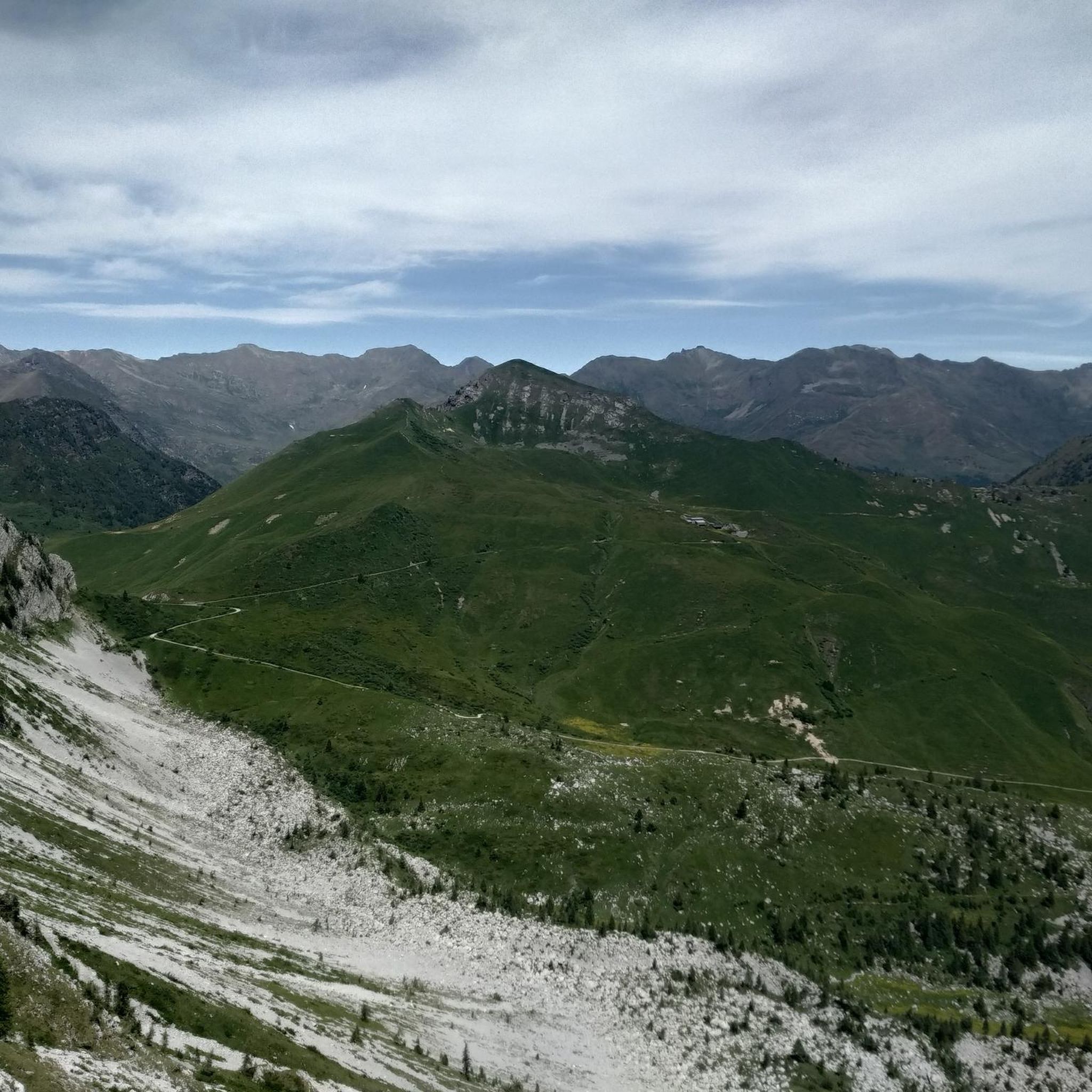
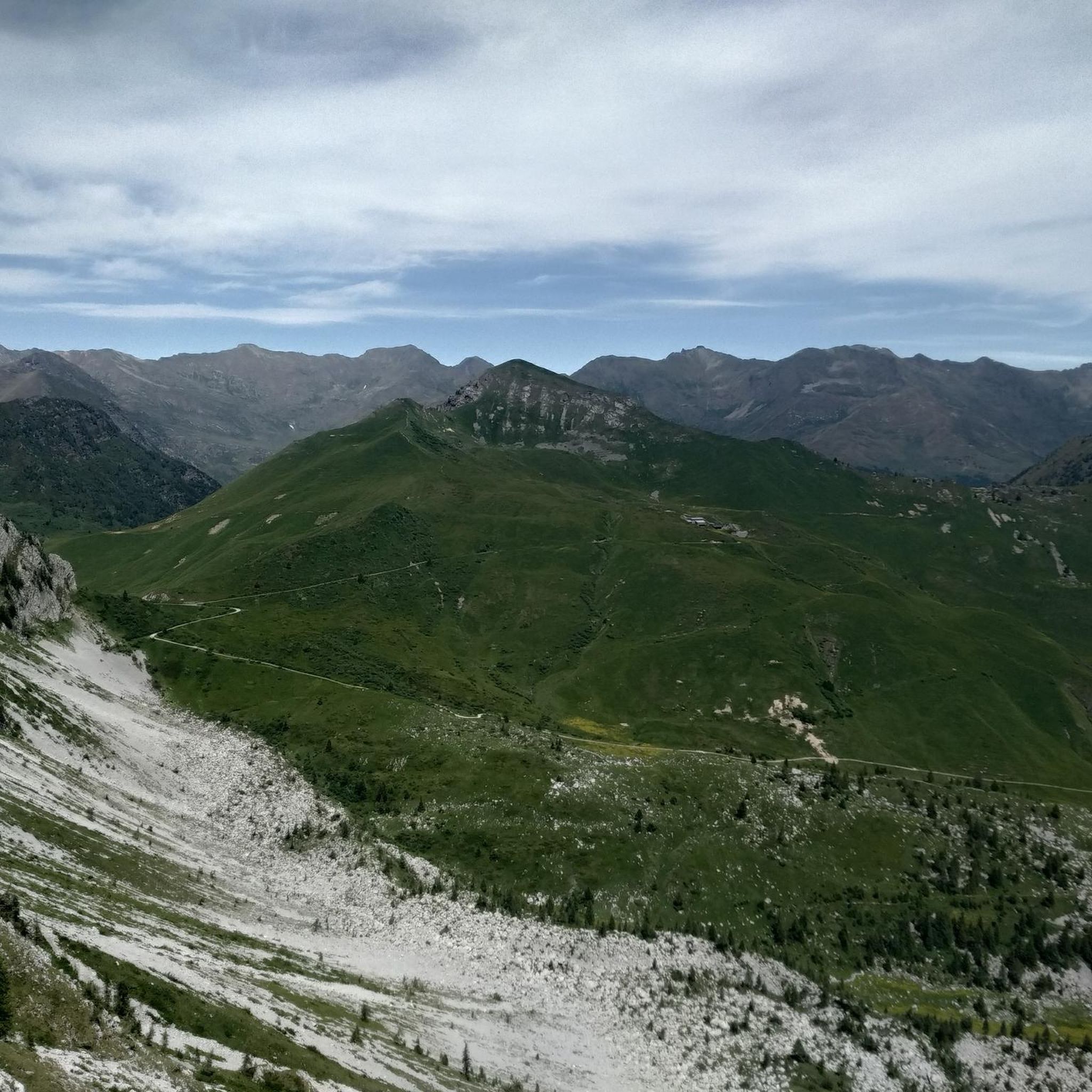
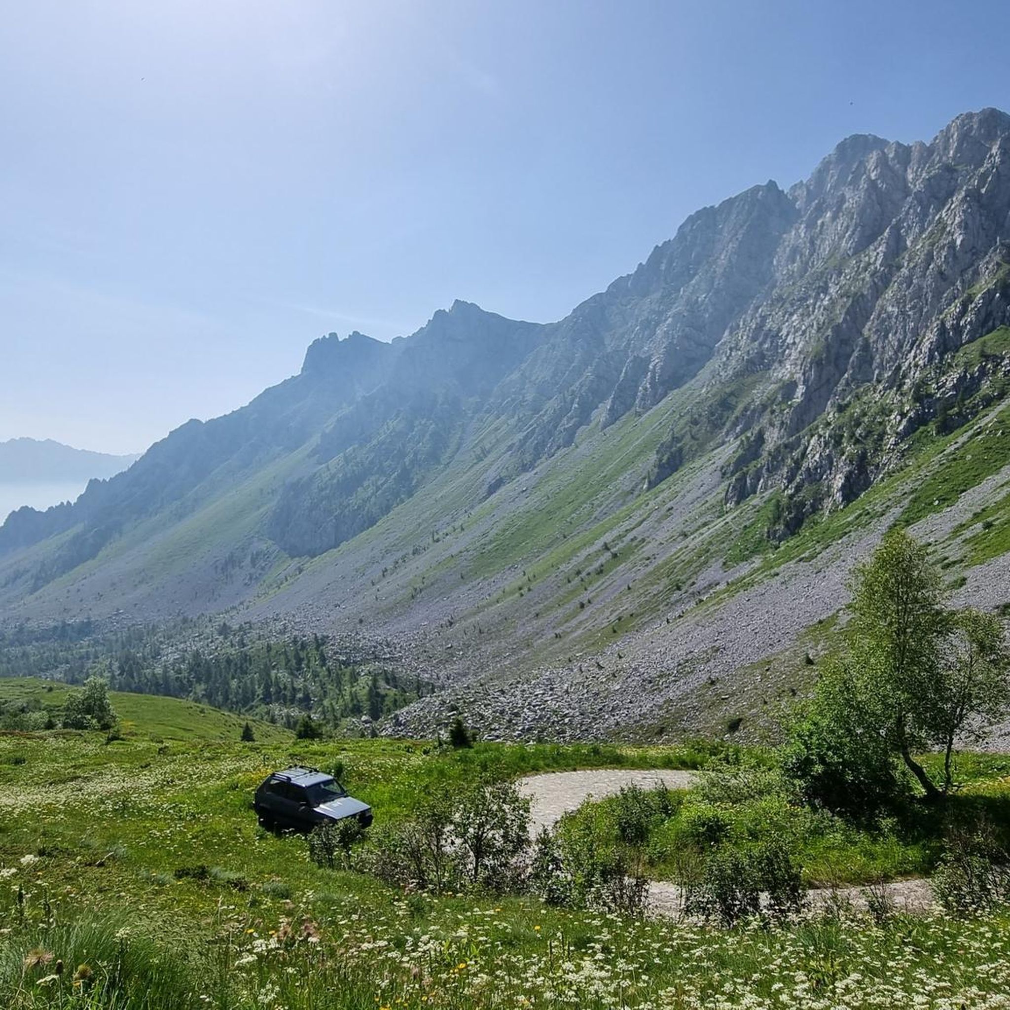

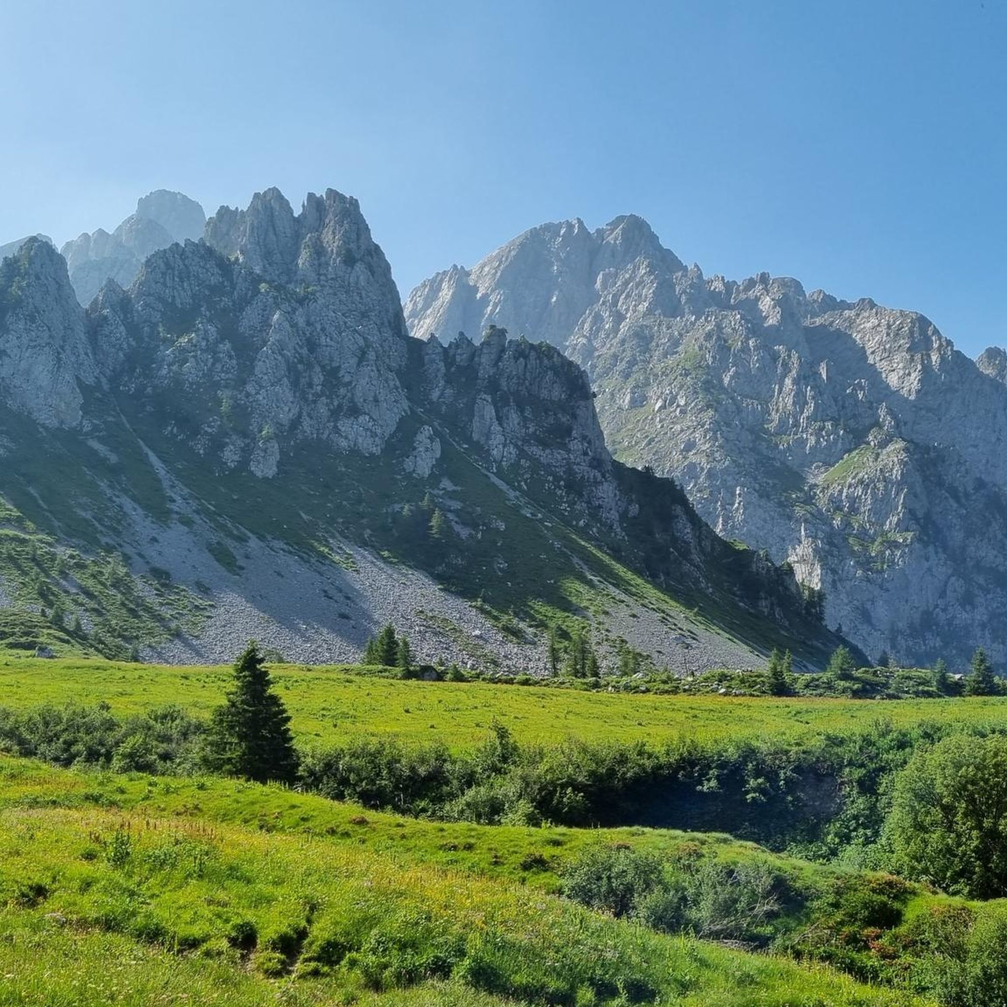

Other adventures around Ono San Pietro

Tips from the Community

🌿 Origins: an ancient cult in the highlands The devotion to the Madonna delle Nevi (Our Lady of the Snows) is widespread throughout the Alps. It originates from a legendary episode in the 4th century, linked to the Basilica of Santa Maria Maggiore in Rome, but in the Lombard mountains it takes on a more concrete meaning: invoking protection against avalanches, sudden snowfalls, and the dangers of alpine pastures. The small church of Paspardo fits exactly into this tradition: a small oratory built to protect shepherds, woodcutters, and travelers who climbed towards Colombé, Barbignaga, and the high mountain pastures.
0
0
The Rifugio Colombé is a highly appreciated mountain hut above Paspardo (Valcamonica), easily accessible and perfect for a scenic hike. It is located at an altitude of 1710 m and offers access to numerous itineraries towards Monte Colombé, Passo della Porta, Lago d’Arno, and the rock art area. 📍 Location - Location: Monte Colombé, Paspardo (BS) - Coordinates: 46.04454 N, 10.38432 E - Useful address: Via Zumella, Paspardo (most common starting point) 🥾 How to get there From Paspardo – CAI Trail 117 / 127 - Departure: Via Zumella – Centro Faunistico del Parco dell’Adamello (1100 m) - Arrival: Rifugio Colombé (1710–1850 m, depending on sources) - Elevation gain: ~750 m - Time: 1h40 – 2h30 - Difficulty: E (Hiking) The path is well-marked, starts in the woods, and then opens up to panoramic clearings with views of Valcamonica. From Cimbergo - Time: ~3h - Elevation gain: ~850 m 🏔️ What to see and do in the surroundings - Monte Colombé - Cima Barbignaga (2367 m) - Passo della Porta (connection towards Lago d’Arno) - Corno delle Pile (2899 m) - Pizzo Badile Camuno (2435 m) - Rock art sites of the Adamello Park 🛖 The hut - Manager: Massimo Alessandria - Phone: 366 503 3070 - Email: info@rifugiocolombe.it / massimo@rifugiocolombe.it - Beds: 35–37 - Lunch seats: ~90 indoors + 50 outdoors - Opening: often on request (always check) - Half board: €55–60 The hut is known for: - home-style cooking - warm welcome - splendid panoramic terrace overlooking Valcamonica
0
0

Nice, historic, relaxing...a beautiful ride along the Oglio cycle path.
0
0
The Campelli Pass is an Alpine pass at approximately 1,892 meters above sea level that connects the Scalve Valley (province of Bergamo) with the Camonica Valley (province of Brescia). It is a popular hiking destination for its scenic beauty and the variety of available itineraries. 🏔️ Main Features Location: Between Schilpario (BG) and Cerveno (BS) Elevation: approximately 1,892 m View: Spectacular view of Cimon della Bagozza and the Piccole Dolomiti Scalvine Access: From Schilpario – Fondi: winter route for snowshoeing or ski mountaineering From Schilpario – Baracca Rossa: shorter and more scenic summer route From Ono San Pietro (BS): longer and more challenging route 🚶♂️ Recommended Activities Summer Hiking: Well-marked trails, also suitable for families Winter Snowshoeing: Safe and picturesque itineraries in the snow Mountain Biking: Technical and scenic routes, with stops at the Campione Refuge and Campelli Lake 📍 Nearby Points of Interest Campione Refuge: Not far from the pass, offers refreshments and overnight accommodations Campelli Lake Campelli: a small Alpine lake, ideal for a break Madonnina dei Campelli: a panoramic and spiritual point along the route
0
0

Stone bridge with nice views around. The river was brown due to heavy rain some hours earlier.
1
0

The church has a complex, rectangular plan, with two bays, a ribbed vault alternating with segments of barrel vault, continuous masonry, and a roof opening. The bell tower has a rectangular plan, continuous masonry, three sections high, a belfry with arches and an octagonal lantern at the top, surmounted by a smaller one supporting an octagonal pyramid trunk on which rises a sphere bearing a metal cross with a wind flag.
0
0
To reach Montecchio di Darfo, starting from Boario, you cross the so-called "Roman Bridge," also known as the Montecchio Bridge. It is a scenic 24-meter, single-span bridge, built from blocks of granite and Simona stone in 1686, over the remains of an older bridge that connected the medieval castle on Monticolo to the opposite bank of the river. It has been recognized as a national monument. (from valcamonicaaccessibile.it)
0
0
To reach Montecchio di Darfo, starting from Boario, you cross the so-called "Roman bridge." It is a scenic 24-meter, single-span bridge, built from blocks of granite and Simona stone in 1686, over the remains of an older bridge that connected the medieval castle on Monticolo to the opposite bank of the river. It has been recognized as a national monument.
0
0
Frequently Asked Questions
How many mountain bike trails are available in Ono San Pietro?
Ono San Pietro offers a wide selection of mountain bike trails, with over 100 routes to explore. These range from easy valley rides to challenging mountain ascents.
What is the general difficulty level of mountain bike trails in Ono San Pietro?
The mountain bike trails around Ono San Pietro are predominantly challenging. There are 58 difficult routes and 45 moderate routes, often featuring significant elevation changes and technical sections. For those seeking a gentler ride, there are also 6 easy trails available.
Are there any family-friendly mountain bike trails in Ono San Pietro?
While many routes are challenging, there are 6 easy mountain bike trails around Ono San Pietro that are suitable for families or beginners. These trails typically follow less demanding terrain, often within the valley.
What kind of views can I expect on mountain bike trails in Ono San Pietro?
Many mountain bike trails in Ono San Pietro offer expansive and panoramic views. The region is situated within the Camonica Valley, surrounded by the Adamello Mountains, providing stunning vistas of the peaks and valleys. For example, the route View of the Adamello Mountains – De Marie al Volano Hut loop from Ceto - Cerveno is specifically known for its panoramic views.
Are there any loop mountain bike trails in Ono San Pietro?
Yes, many mountain bike trails in Ono San Pietro are designed as loops, allowing you to start and finish at the same point. Examples include the challenging De Marie al Volano Hut – Colombé Hut loop from Capo di Ponte and the moderate Ponte di Cividate Camuno – Spluga Trail – Camonica Valley loop from Capo di Ponte.
What do other mountain bikers enjoy most about mountain biking in Ono San Pietro?
The mountain biking experience in Ono San Pietro is highly rated by the komoot community, with an average score of 4.6 stars from over 400 reviews. Riders often praise the diverse landscape, the challenging climbs, and the rewarding descents, as well as the stunning mountain and valley views.
What are some notable landmarks or attractions along the mountain bike trails?
Along the mountain bike trails, you can encounter various points of interest. Many routes connect mountain huts, such as the Colombé Hut or the Campione Hut. You might also pass through significant mountain passes like Campelli Pass, offering unique views and resting spots.
What is the best season for mountain biking in Ono San Pietro?
The best season for mountain biking in Ono San Pietro is typically from late spring to early autumn (May to October). During these months, the weather is generally more stable, and the higher mountain trails are free of snow, offering optimal riding conditions.
Are there any long-distance mountain bike routes in the area?
Yes, Ono San Pietro offers several longer mountain bike routes for endurance riders. For instance, the Madonnina dei Campelli – Descent from Passo Campelli loop from Ceto - Cerveno is a challenging 36.3-mile (58.4 km) route, and the Ponte di Cividate Camuno – Spluga Trail – Camonica Valley loop from Capo di Ponte covers 33.4 miles (53.8 km).
What kind of terrain can I expect on the mountain bike trails?
The terrain around Ono San Pietro is diverse, ranging from valley trails to mountainous paths. You can expect a mix of forest tracks, gravel roads, and singletrack, often with significant elevation changes as routes navigate through the Adamello Mountains and the Camonica Valley.
Is public transport available to access mountain bike trails in Ono San Pietro?
While specific public transport connections directly to trailheads can vary, Ono San Pietro is located within the Camonica Valley, which has regional bus services. It's advisable to check local bus schedules for connections to villages near your chosen starting points.
Where can I find parking for mountain biking in Ono San Pietro?
Parking is generally available in the main villages and towns around Ono San Pietro, such as Capo di Ponte or Ceto - Cerveno, which serve as common starting points for many routes. Look for designated parking areas or public car parks in these locations.
Most popular routes around Ono San Pietro
Most popular attractions around Ono San Pietro

Get inspired with the komoot mobile app


Explore more
Browse the best MTB trails in other regions.
