The best running trails around Vione
4.7
(17)
1,126
runners
24
runs
Jogging around Vione offers diverse running routes through mountainous terrain and scenic valleys in the Lombardy region of Italy. The area is characterized by its varied topography, providing both challenging ascents and more gradual paths suitable for running. Proximity to natural parks, including the expansive Parco Nazionale dello Stelvio, ensures a backdrop of natural beauty with diverse flora and fauna. The landscape features numerous trails alongside rivers and through forested areas, creating varied running experiences.
Best jogging routes around Vione
…Last updated: June 22, 2026
5.0
(1)
66
runners
16.1km
01:46
290m
290m
Hard run. Very good fitness required. Mostly paved surfaces. Suitable for all skill levels.
15
runners
10.9km
01:10
120m
120m
Moderate run. Good fitness required. Mostly paved surfaces. Suitable for all skill levels.

Sign up for free
71
runners
13.5km
01:27
190m
180m
Moderate run. Good fitness required. Mostly paved surfaces. Suitable for all skill levels.
19
runners
10.0km
01:22
510m
530m
Hard run. Very good fitness required. Mostly paved surfaces. Suitable for all skill levels.
14
runners
11.5km
01:18
270m
270m
Moderate run. Good fitness required. Mostly paved surfaces. Suitable for all skill levels.
Get access to more routes and recommendations from other explorers.
Sign up for free
Already have an account?
Our route recommendations are based on thousands of hikes, rides, and runs completed by other people on komoot.
Start today with a free account
Your next adventure awaits.
Login or Signup

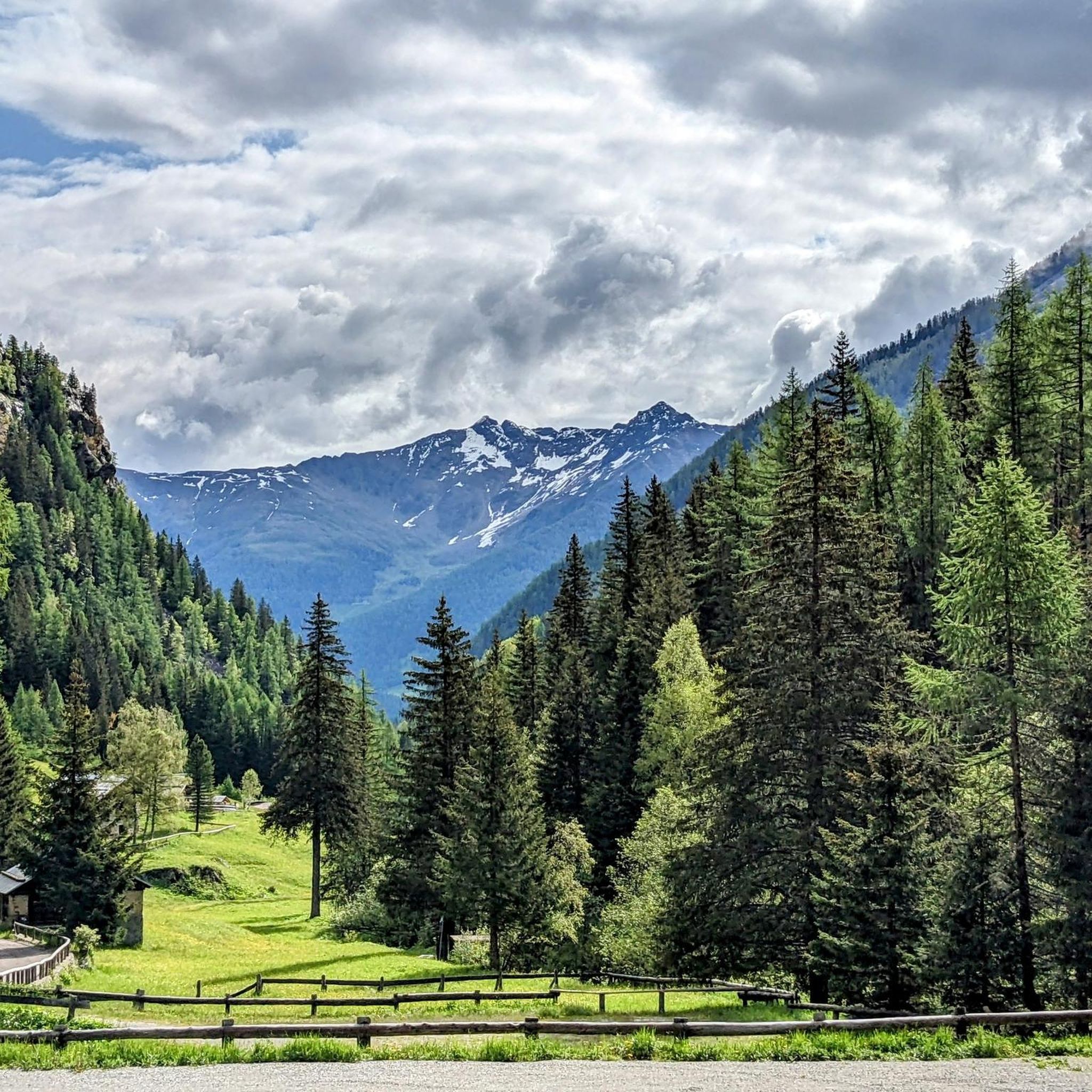
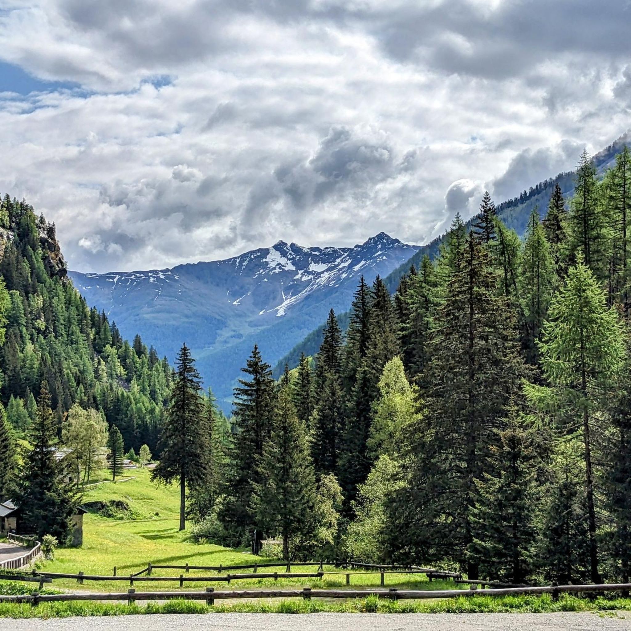
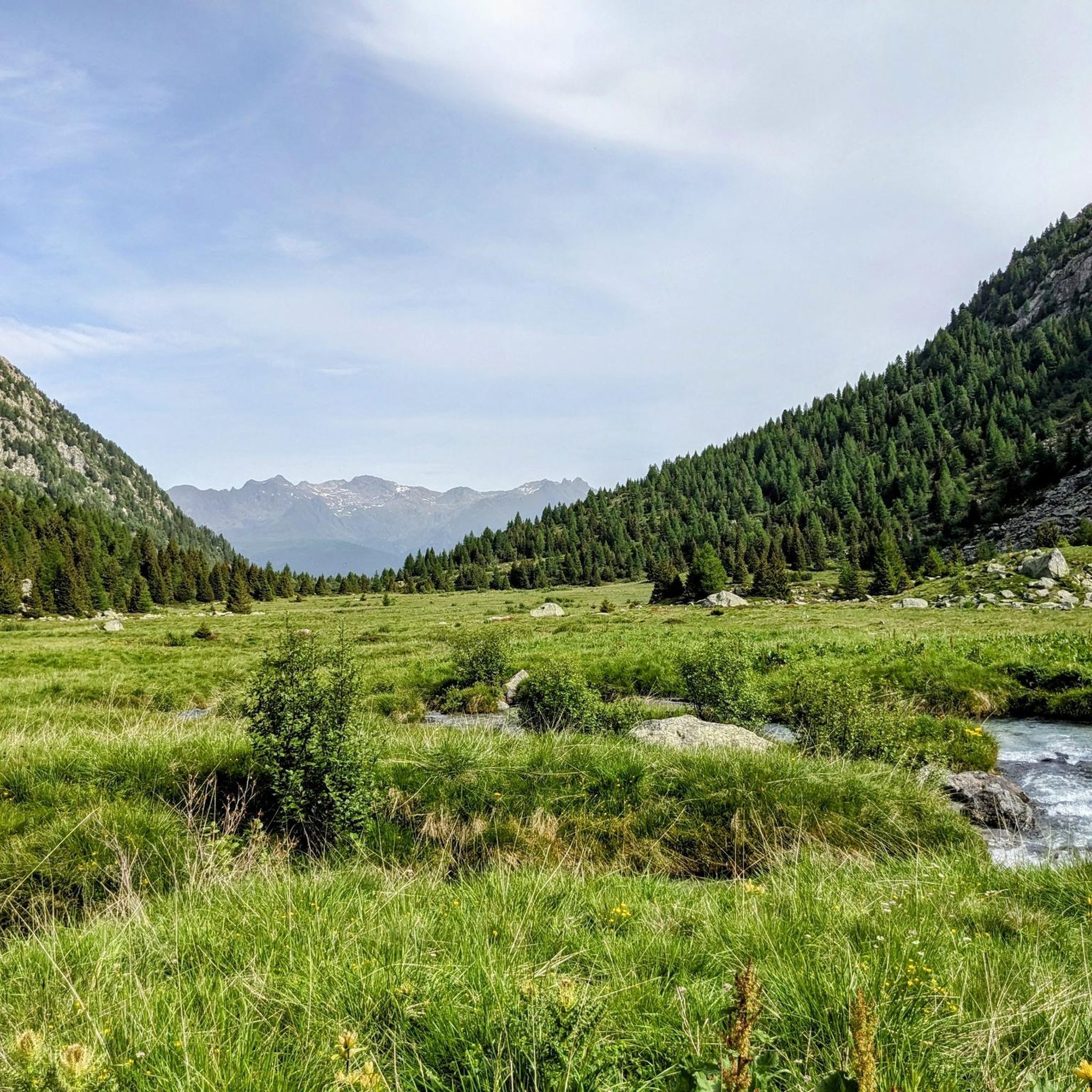
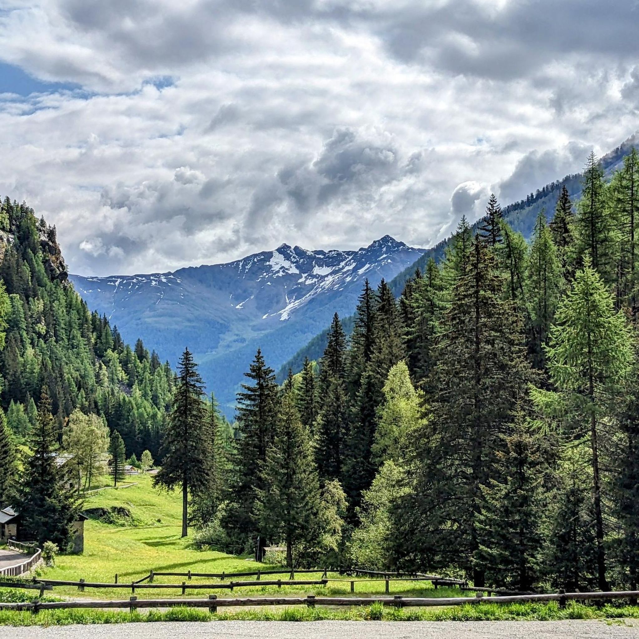

Other adventures around Vione

Tips from the Community

Val Canè is a beautiful alpine valley located in Alta Val Camonica, within the Stelvio National Park. It is a secondary valley that extends north of the town of Canè, ending with Punta di Pietra Rossa (3228 m). The valley is crossed by the Fomedio stream, which originates from Lago di Pietra Rossa (2601 m). It is surrounded by imposing peaks, including Coleazzo (3061 m) and Bles (2820 m), which form two triangular basins at the base of the valley. One of the reference points for hikers is the Bivacco Valzaroten (2212 m), which offers shelter for those exploring the upper part of the valley. Val Canè is connected to Val Grande di Vezza through Passo di Val Canè (2699 m). A great advantage for hikers is the possibility of going up the valley by car to Cortebona (1766 m), with prior municipal authorization, until 9 in the morning
0
0
The upper part of Val Canè is a spectacular area for mountain and hiking lovers. Located in the Stelvio National Park, this area offers breathtaking views and unspoiled nature. One of the main landmarks is the Bivacco Valzaroten, located at 2210 meters above sea level. From here you can admire the surrounding peaks, including Cima Bles (2609 m), Monte Bles (2820 m), Cima Mattaciul (2823 m) and Cima di Pietra Rossa (2869 m). The area is characterized by alpine meadows, glacial lakes and rich fauna, with the possibility of spotting ibex, marmots and deer. A very suggestive excursion is the one that leads to the Laghetti di Pietra Rossa, located at about 2601 meters above sea level. The route passes through larch and fir forests, offering spectacular views of the valley below. Val Canè is also a connection point with other Alpine valleys, such as Val Grande di Vezza through the Passo di Val Canè (2699 m). Furthermore, in the highest part of the valley there is the Vedretta di Monticello, one of the few perennial glaciers in the province of Brescia
0
0

Near Ponte di Legno, Parco Sozzine is a great place to get closer to mountain life with the whole family. The Oglio Narcanello stream flows here, which – merging with the Frigidolfo – forms the actual Oglio. There is also a children's playground made entirely of wood.
0
0

In the Sozzine area, along the Oglio Narcanello stream, an old stone dam appears to have been abandoned: this is also why it is characteristic.
0
0
Ponte di Legno is a municipality located at the northern end of the Camonica valley, between Lombardy and Trentino. Its name derives from two factors: "Ponte" because it has always represented a point for crossing the Oglio, and "di Legno", which derives from the ancient name of the upper valley, "Dalania", as attested by Carlo's donation Magnus of 774 AD.
2
0

Near Vezza d'Oglio, a municipality of around 1,500 inhabitants in Valcamonica, this bridge over the Val Grande stream is located on the cycle path that leads to Temù and beyond. The bridge is made of wood and perfect for any type of bicycle.
2
0

Nice little place, climb to the Gaviapass or the Tonale. Right at the start of the Oglio cycle path.
0
0

Trail closed due to works during this period, no warning before the access ban !!!.
0
0
Frequently Asked Questions
How many running routes are available in Vione?
Vione offers a good selection of running routes, with over 18 trails mapped on komoot. These routes cater to various preferences, from moderate loops to more challenging, longer runs through the mountainous terrain.
What kind of terrain can I expect on Vione's running trails?
The running trails around Vione feature diverse terrain, including mountainous paths, scenic river valleys, and routes near the expansive Parco Nazionale dello Stelvio. You'll encounter both challenging ascents and more gradual paths, often alongside rivers like the Fiume Oglio, and through forested areas.
Are there options for different fitness levels among Vione's running routes?
Yes, Vione provides running options for various fitness levels. While there are no easy routes, you'll find 6 moderate trails and 12 difficult routes. This allows for diverse training, from endurance runs up hills to more leisurely jogs through valleys, all surrounded by impressive scenery.
What do other runners enjoy most about the trails in Vione?
The running routes in Vione are highly rated by the komoot community, with an average score of 4.8 stars from over 20 reviews. Runners often praise the varied terrain, the stunning natural beauty of the Lombardy region, and the immersive journey through nature that these trails offer.
Are there any circular running routes in Vione?
Yes, many of Vione's running routes are designed as loops, offering convenient circular experiences. For example, you could try the moderate Bacino di Temù loop from Vione, which covers about 10.2 km.
Are there challenging running routes for experienced runners in Vione?
Absolutely. For experienced runners seeking a challenge, Vione offers several difficult routes. A notable option is the Bacino di Temù – Fiume Oglio loop from Vione, a demanding 27.5 km path with significant elevation changes that follows the Fiume Oglio.
What are some points of interest or landmarks I can see while running in Vione?
While running in Vione, you can encounter various points of interest. Some routes might take you near significant mountain passes like Passo dell'Alpe (2461 m) or Forcellina di Montozzo (Montozzo Pass). You might also pass by the Marco Pantani Monument, offering a blend of natural beauty and cultural landmarks.
Are there any huts or refuges along the running paths in Vione?
Yes, the region around Vione features several huts and refuges that can be found along or near running paths. Notable examples include the Angelo Bozzi Hut and the Rifugio Franco Tonolini and Lake Baitone, which can serve as scenic stops or destinations.
What is a good moderate running route to try in Vione?
A popular moderate running route is the Roccolo di Santa Giulia – Picnic Area in Vezza d'Oglio loop from Vione. This 11.3 km trail offers a scenic loop through the local landscape and typically takes about 1 hour and 13 minutes to complete.
Is Vione suitable for family-friendly running or walking?
While Vione's trails are generally moderate to difficult, the area's charm, with its local markets and historical town center, offers pleasant opportunities for less strenuous walking or light jogging. For specific running routes, families with older children who are accustomed to moderate distances and some elevation might enjoy trails like the Bacino di Temù – Vecchia Segheria di Stadolina loop from Vezza d'Oglio, which is 10.3 km long.
Can I bring my dog on the running trails in Vione?
Many trails in natural areas like those around Vione are dog-friendly, especially if your dog is well-behaved and kept on a leash. Given the proximity to the Parco Nazionale dello Stelvio, it's always best to check specific park regulations regarding pets to ensure a pleasant and compliant experience for both you and your canine companion.
What is the best time of year for running in Vione?
Given Vione's mountainous terrain and proximity to the Italian Alps, the best time for running is generally during the warmer months, from late spring to early autumn. This period offers more stable weather conditions and accessible trails, avoiding snow and ice that can affect higher altitude paths in winter.
Are there any running routes that offer views of the Fiume Oglio river?
Yes, some running routes in Vione follow the Fiume Oglio river, providing scenic views along the waterway. The difficult Bacino di Temù – Fiume Oglio loop from Vione is a prime example, offering a demanding experience alongside the river.
Most popular attractions around Vione

Get inspired with the komoot mobile app


Explore more
Browse the best Running Trails & Routes in other regions.
