The best mountain hikes around Lozio
4.3
(8)
53
hikers
4
hikes
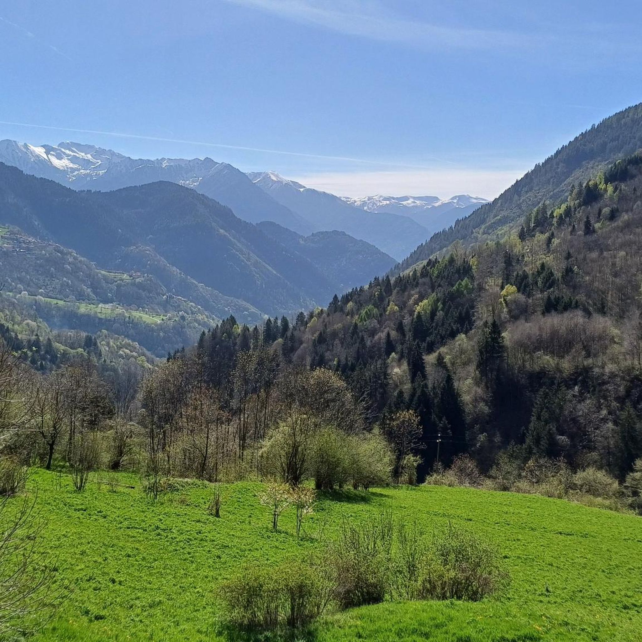
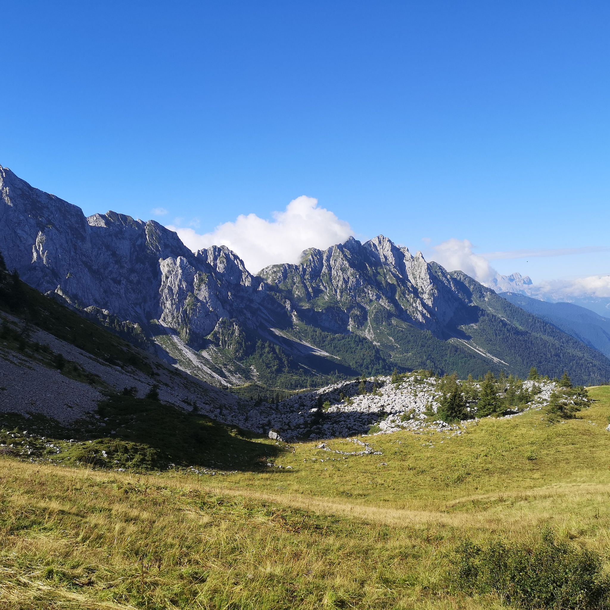
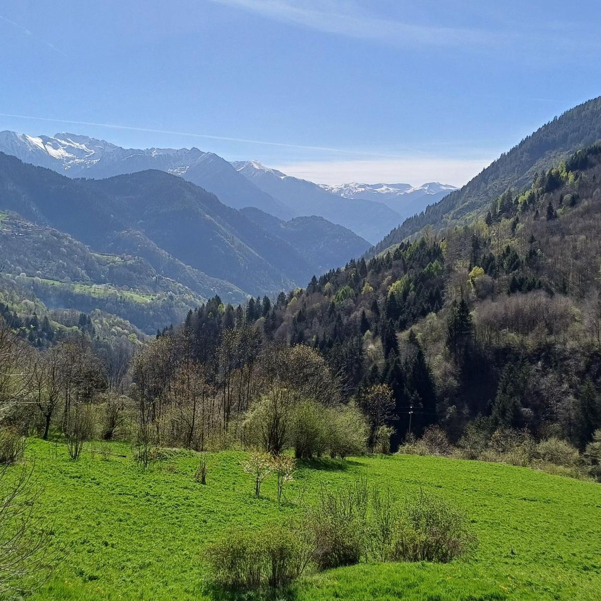
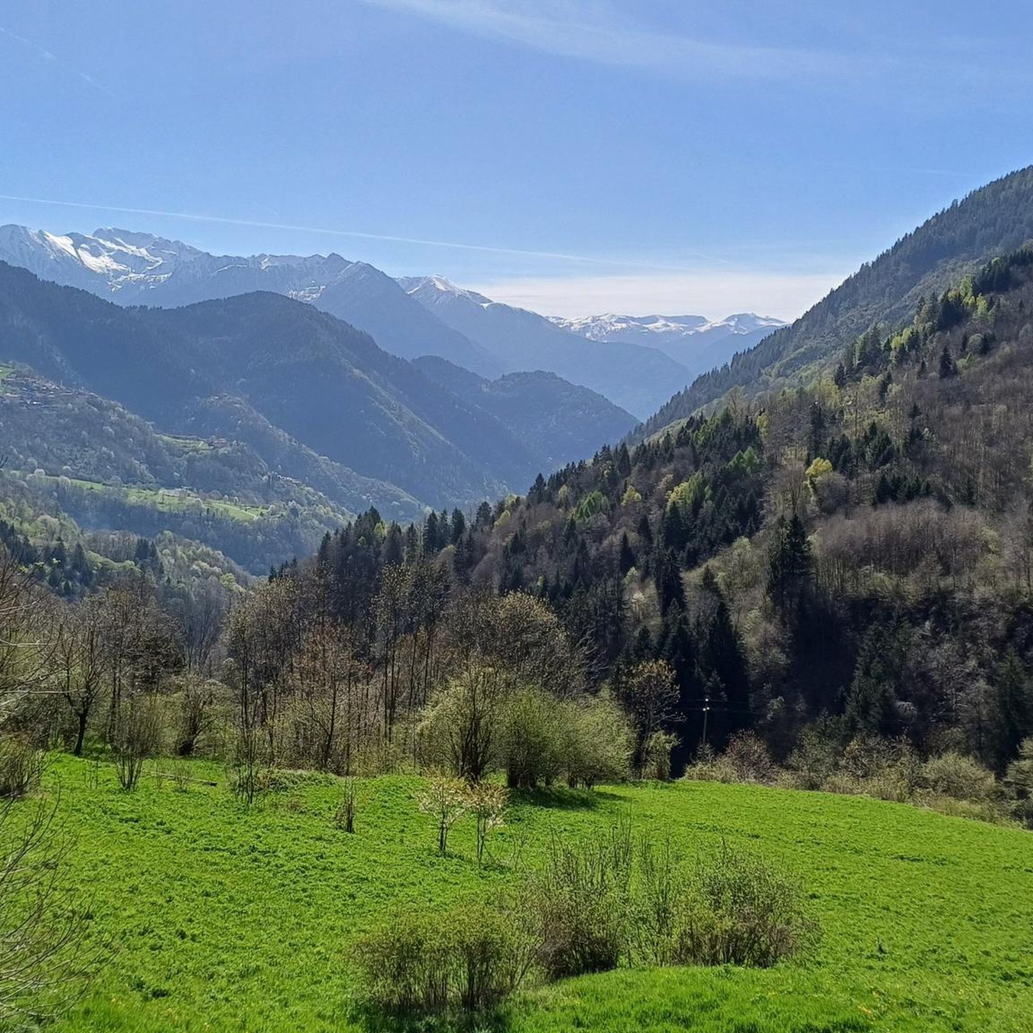
Mountaineering routes around Lozio are set within the Val Camonica, characterized by significant altitude variations from 519 meters to Cima Bachetta at 2,549 meters. The terrain features deep valleys, expansive green meadows, dense conifer forests, and dramatic steep limestone rock faces. This diverse landscape, part of the Bergamasque Alps, includes the imposing Concarena massif and several prominent peaks. Lozio's designation as a "Mountaineering Village" underscores its commitment to preserving its unspoiled mountain environment.
Best mountaineering routes around Lozio
- The most popular mountaineering route is Madonnina dei Campelli – Lake of Campelli loop from Fondi, a 7.2 miles (11.6 km) trail that takes 4 hours 47 minutes to complete. This moderate route offers views of the Campelli Lake and surrounding alpine scenery.
- Another top favourite among local mountaineers is Pizzo Badile Camuno – Rifugio De Marie al Volano loop from Paspardo, a difficult 4.5 miles (7.3 km) path. This route ascends to Pizzo Badile Camuno, providing challenging climbs and panoramic vistas from the high mountain refuge.
- Local mountaineers also love the First Canyon – View of the Southern Valley loop from Lozio, a 6.8 miles (11.0 km) trail leading through a dramatic canyon and offering extensive views of the Southern Valley, often completed in about 6 hours 48 minutes.
- Mountaineering around Lozio is defined by deep valleys, steep limestone rock faces, and high alpine peaks. The diverse terrain offers options for various skill levels, from moderate ascents to more challenging high-altitude routes.
- The routes in Lozio are highly rated by the komoot community with an average score of 4.7 stars from more than 5 reviews. More than 60 mountaineers have used komoot to explore Lozio's varied terrain.
Last updated: October 8, 2026
4.0
(1)
10
hikers
9.07km
03:05
460m
460m
Moderate mountaineering route. Good fitness required. Mostly accessible paths. Sure-footedness required.
4.0
(3)
23
hikers
7.40km
05:14
1,030m
1,030m
Hard mountaineering route. Very good fitness required. Sure-footedness, sturdy shoes and alpine experience required.

8
hikers
11.0km
06:48
1,280m
1,280m
Hard mountaineering route. Very good fitness required. Sure-footedness, sturdy shoes and alpine experience required.
4.3
(3)
9
hikers
20.9km
08:48
1,510m
1,510m
Hard mountaineering route. Very good fitness required. Sure-footedness, sturdy shoes and alpine experience required.
5.0
(1)
3
hikers
9.89km
03:47
560m
560m
Moderate mountaineering route. Good fitness required. Mostly accessible paths. Sure-footedness required.
Our route recommendations are based on thousands of hikes, rides, and runs completed by other people on komoot.
Start today with a free account
Your next adventure awaits.

Tips from the Community

quiet and almost entirely on asphalt
0
0

Very kind and friendly staff
0
0

cover charge 1€ extra bread 1€ barley soup 9€ gnocchi with cream, speck, Zola 13€ pasta with ragu 12€ polenta with goulash or stew 16€
0
0


The Cimon della Bagozza Refuge is located at 1,600 meters above sea level in the beautiful Conca dei Campelli, in the municipality of Schilpario (BG), in the Scalve Valley. It is an ideal destination for hikers, families, and snowshoers, nestled in the so-called "Little Bergamo Dolomites." 🏡 Main Information Management: Cimon della Bagozza Alpine Group – Manager Silvio Visini Phone: 0346 56300 Email: rifugiobagozza@hotmail.it Altitude: 1,600 m Beds: approximately 50 (35 indoors) Cuisine: Traditional Bergamo cuisine – the "Polenta e quel che c'è" menu is famous Open all year round Pets allowed 🥾 How to get there From Fondi di Schilpario: approximately 1 hour on foot, elevation gain +350 m By car: In summer, you can get very close to the refuge by parking in Cimalbosco Trails: CAI 419 and 428, also ideal for families and beginners ❄️ In winter The refuge is open even in the snow and is a perfect destination For: Snowshoeing Hiking with crampons Family weekend in the snow Always check the avalanche bulletin (ARPA Lombardia) before leaving 🌄 What to see nearby Lake Campelli Madonnina dei Campelli Mount Campioncino Don Giulio Corini Bivouac Cimon della Bagozza (2,407 m) – for experienced hikers
0
0
The Madonnina dei Campelli is a small votive statue nestled in the beautiful Conca dei Campelli, in the Schilpario area (Bergamo). It's a popular spot among hikers, not only for its spiritual significance but also for its scenic and evocative location. The Madonnina dei Campelli is a bronze sculpture in the round, created by 🙏 Characteristics and meaning Type: votive statue dedicated to the Madonna Location: along CAI trail 428, near Malga Campelli Bassa, at approximately 1,680 m above sea level Context: located in a clearing between woods and pastures, overlooking Cimon della Bagozza and Pizzo Camino Function: a resting and reflection point for hikers, often associated with moments of meditation or prayer 🥾 How to get there Starting point: from Fondi di Schilpario Route: follow the forest road to the small church of Maria Ausiliatrice and Santa Barbara, then continue on trail 428 Duration: approximately 1.5 hours on foot Difficulty: hiking (E), also suitable for families
0
0
Monte Campioncino is a splendid peak in the Bergamo Prealps, located on the border between Val di Scalve (BG) and Val Camonica (BS), with an altitude of approximately 2,102 meters. 🏔️ Main features Altitude: 2,102 m a.s.l. Location: between the municipalities of Schilpario (BG) and Cerveno (BS) Mountain group: Concarena – Eastern Bergamo Prealps Coordinates: 46°01′59.94″N, 10°15′03.39″E 🚶♂️ Recommended hike Starting point: Cimalbosco locality (Schilpario), altitude 1,580 m Ascent route: from Passo dei Campelli, south side Elevation gain: approximately 520 m (ascent only) Travel time: 1h30 for the ascent, 2h45 total Difficulty: hiking (E), with easy sections (F) on an unmarked trail Recommended period: all year round, also for snowshoeing and ski touring 🌄 Panorama From the summit, you can enjoy a spectacular view of: Presolana Cimon della Bagozza Monte Campione Concarena
0
0
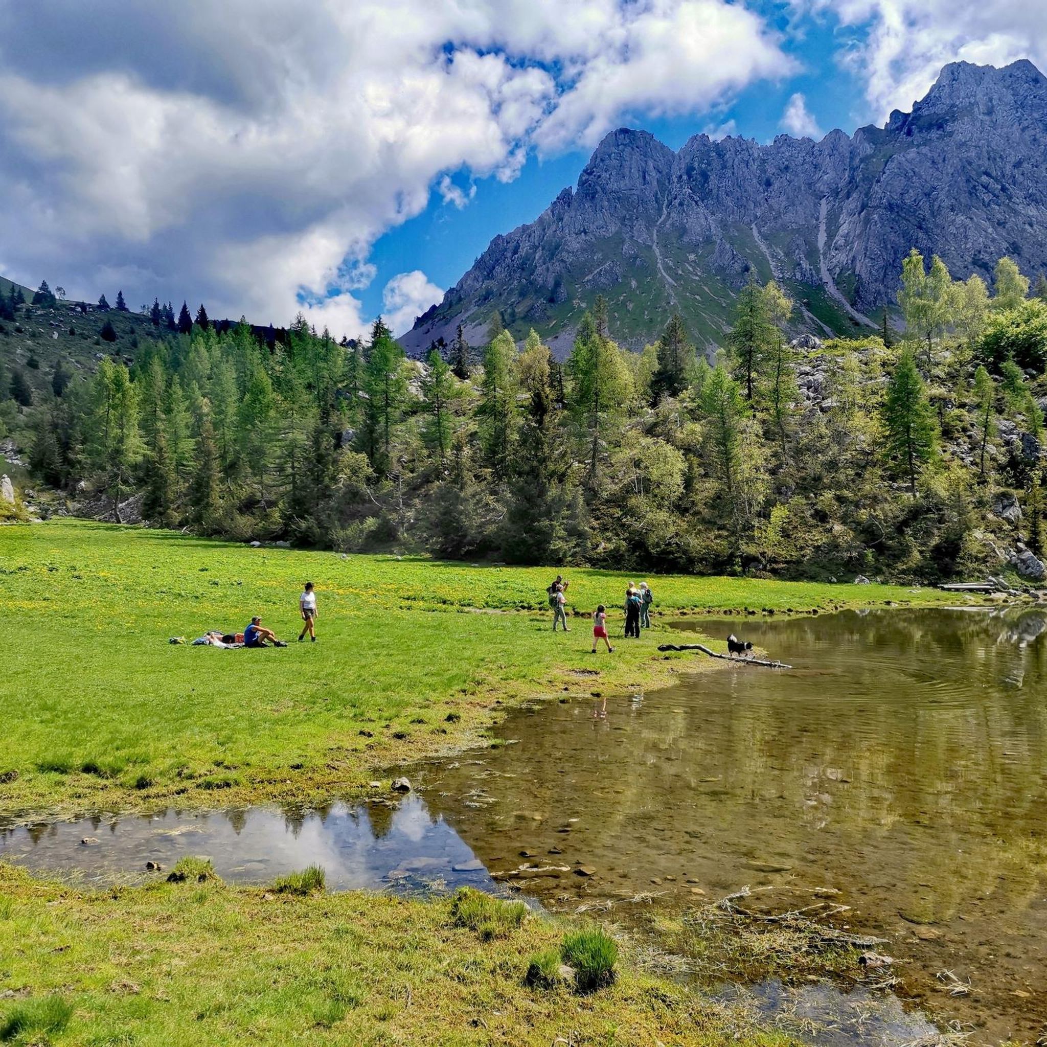
Lago dei Campelli is a small and picturesque alpine lake located in the Conca dei Campelli, in the Scalve Valley, just minutes from the Campione Refuge. It is an ideal destination for hikers seeking a peaceful and scenic spot, surrounded by nature. 🏞️ Characteristics of Lake Campelli Altitude: approximately 1,900 m Access: Reachable on foot from the Campione Refuge in about 10–15 minutes Lake type: Alpine, natural, often fed by snowfields and springs Ambience: Surrounded by pastures, rocks, and overlooking the Piccole Dolomiti Scalvine 🚶♂️ Recommended hike Departure: from Schilpario – Fondi Route: Climb to the Campelli Pass, then to the Campione Refuge, finally detour to the lake Total duration: approximately 2.5–3 hours on foot Difficulty: Hiking (E), also suitable for families with children accustomed to walking
0
0
Frequently Asked Questions
How many mountaineering routes are available in Lozio?
Lozio offers a selection of mountaineering routes, with four distinct tours currently available on komoot. These routes cater to various skill levels, from moderate ascents to more challenging high-altitude expeditions.
What kind of terrain can I expect on mountaineering routes in Val di Lozio?
Val di Lozio features a dramatic and diverse landscape. You'll encounter deep valleys, expansive green meadows, dense conifer forests, and steep limestone rock faces. The significant altitude variation, from 519 meters to Cima Bachetta at 2,549 meters, ensures varied terrain throughout your ascent.
Are there any circular mountaineering routes in Lozio?
Yes, several routes in Lozio are circular. For example, the Madonnina dei Campelli – Lake of Campelli loop from Fondi is a moderate 11.6 km route. Another challenging option is the Pizzo Badile Camuno – Rifugio De Marie al Volano loop from Paspardo, covering 7.3 km with significant elevation gain.
What are some notable natural features or landmarks I might see on a mountaineering route?
Mountaineering in Lozio offers stunning natural sights. You might encounter the dramatic gorge of the Lanico river, or enjoy views of prominent peaks like Cima Bachetta, Pizzo Camino, and Cimone della Bagozza. For specific natural attractions, consider exploring highlights such as Gleno Dam and Lake, Lova Lake, or the impressive Vò Waterfall.
What is the best season for mountaineering in Lozio?
The region is suitable for mountaineering during summer months. However, Val di Lozio also supports winter activities like ski mountaineering and snowshoeing, making it an all-season outdoor destination depending on your preferred activity and experience level.
Are there any beginner-friendly mountaineering routes in Lozio?
While many routes in Lozio are challenging, there are options for those with moderate experience. The Madonnina dei Campelli – Lake of Campelli loop from Fondi is classified as moderate, offering a good introduction to the area's alpine scenery without extreme technical demands.
What makes Lozio a 'Mountaineering Village'?
Lozio holds the status of a 'Mountaineering Village' due to its dedication to preserving traditional alpine culture and promoting sustainable mountaineering. This designation reflects its commitment to maintaining an unspoiled mountain environment and providing resources for climbers and hikers.
What do other mountaineers say about the routes in Lozio?
The mountaineering routes in Lozio are highly rated by the komoot community, with an average score of 4.7 stars from more than 5 reviews. Users often praise the diverse terrain, from deep valleys to high alpine peaks, and the challenging yet rewarding ascents.
Are there any routes that offer dramatic canyon views?
Yes, the First Canyon – View of the Southern Valley loop from Lozio is a challenging 11.0 km route that leads through a dramatic canyon. It also provides extensive views of the Southern Valley, making for a memorable experience.
What is the highest point accessible on a mountaineering route in Lozio?
The Val di Lozio reaches its highest point at Cima Bachetta, standing at 2,549 meters. While specific routes to the summit are challenging, the region's routes offer significant elevation gains, providing access to high alpine environments and panoramic vistas.
Are there any routes that pass by mountain refuges?
Yes, the challenging Pizzo Badile Camuno – Rifugio De Marie al Volano loop from Paspardo ascends to Pizzo Badile Camuno and includes a mountain refuge, offering a potential stop or overnight stay during your expedition.
What is the typical duration for a mountaineering route in Lozio?
Route durations vary based on difficulty and distance. For instance, the moderate Madonnina dei Campelli – Lake of Campelli loop from Fondi typically takes around 4 hours and 47 minutes. More challenging routes, like the First Canyon – View of the Southern Valley loop from Lozio, can take approximately 6 hours and 48 minutes.
Most popular attractions around Lozio

Get inspired with the komoot mobile app


Explore more
Browse the best Mountain Hikes & Routes in other regions.
