The 20 Most Amazing Peaks around Angolo Terme
Best mountain peaks around Angolo Terme are found in the heart of the Valle Camonica, offering access to several impressive mountain peaks. This region is characterized by its diverse mountainous landscape, including the Bergamo Prealps. Angolo Terme itself is situated at the foot of Monte Vareno, providing a base for exploring the surrounding natural environment. The area features a mix of limestone and sandstone formations, with rich biodiversity in its natural parks.
Best mountain peaks around Angolo Terme
- The most…
Last updated: May 11, 2026
Savina Chapel
Highlight • Religious Site
Translated by Google •
Tip by

Città di Clusone bivouac
Highlight • Mountain Hut
Translated by Google •
Tip by
Sign up now to discover places like this
Get recommendations on the best single tracks, peaks, & plenty of other exciting outdoor places.
Sign up for free
Dosso Rotondo Hut
Highlight • Mountain Hut
Translated by Google •
Tip by

Mount Altissimo
Highlight • Summit
Showing Translation
Tip by

Colle di Mignone
Highlight • Summit
Translated by Google •
Tip by

Sign up for free to discover even more peaks around Angolo Terme.
Sign up for free
Already have an account?
Start today with a free account
Your next adventure awaits.
Login or Signup
Popular around Angolo Terme


Other adventures around Angolo Terme

Tips from the Community

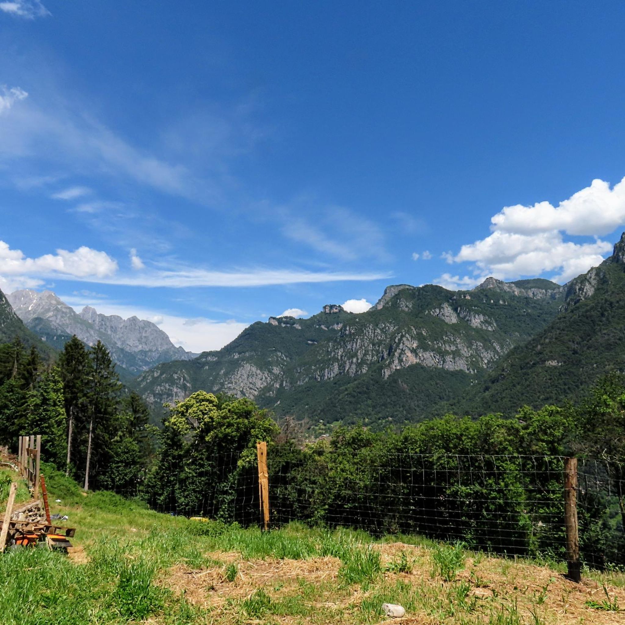
Mount Altissimo is a mountain in the Bergamo Prealps, 1703 m high, located between the lower Val Camonica and the lower Val di Scalve. It is the highest peak of the mountain group that separates these two valleys and overlooks the Borno plateau. Two very different slopes Southern slope: steep, rocky, almost devoid of vegetation, with a difference in altitude of about 1500 m from the Oglio valley floor. Northern slope: gentle slope towards Borno, covered with fir trees and dotted with mountain huts, chalets and ski slopes of the Borno Ski Area. 🚶♂️ Hiking — The main itineraries Mount Altissimo is very popular with hikers thanks to the good network of trails (difficulty E). Here are the best-known and documented routes. 1) From Erbanno – Trail 197 or 155 A steep and challenging itinerary, with a significant difference in altitude. Trail 197: Start: Erbanno (Darfo Boario Terme) Passes through: small church of San Valentino (690 m), Malga Mine, junction with trail 194 From the cross: spectacular view of the lower Val Camonica and Lake Iseo Summit reachable in 15 minutes from the final junction Trail 155 (more direct and strenuous): Difference in altitude: about 1460 m Steep sections, some chains on a slightly exposed traverse Remarkable panorama of the meadows of "Segable" Arrival at the Monte Altissimo refuge and the ski lifts 2) From Gorzone – Trail 154 A wilder route on the south side, with a long and tough climb. 3) From Borno – North slope (ski slope areas) A gentler and more panoramic itinerary, often chosen for loop tours that include refuges, mountain huts and small churches (as in your story). 🏞️ What makes Mount Altissimo special Sharp contrast between the two slopes: one severe and rocky, the other gentle and wooded. Wide panoramas of the lower Val Camonica, Lake Iseo and Presolana. Network of mountain huts and chalets still active in summer. Presence of the Monte Altissimo refuge at the summit, also reached by ski lifts. Possibility of varied loop tours, combining woods, slopes, ridges and small isolated churches.
0
0
🐄 Malga Mignone — Borno (Valle Camonica) 📍 Location Malga Mignone is located above Lago di Lova, along the ridge that climbs towards: Colle Mignone, Monte Mignone, the junction for Rifugio Laeng, the panoramic trail towards Rifugio San Fermo. It is an important hub between trails 103, 104, 109, 110, 182 and the upper section of CAI 82. 🏞️ Environment The mountain hut is located in an area: grassy and open, with a view of Lago di Lova and the peaks of the Camino group, surrounded by huts and summer pastures. It is a perfect place for an intermediate break before climbing towards Varicla or towards the San Fermo ridge. 🚶♂️ How to get there From Borno – Navertino → Lago di Lova The most common route: Departure from Navertino. Climb through the woods to Lago di Lova (trail 109). Skirt the lake. Take the trail that climbs towards the hut: steep, suitable for hikers accustomed to elevation gain. From Lago di Lova → Colle Mignone → Malga Mignone Climb on steep grassy slopes, but with an intuitive direction. Possible loop with return on dirt roads. 🔗 Main connections From Malga Mignone, trails depart or pass towards: Rifugio Laeng (via trails 110 and 182) Rifugio San Fermo (continuing left, section not always marked) Monte Mignone (1743 m) Colle Mignone (1535 m), a crossroads of various itineraries ⭐ Why it's an important point It is the crossroads of almost all itineraries in the Lova–Varicla area. It offers wide views and a very bright environment. It is an excellent point for medium-difficulty hiking loops. It allows you to modulate the trip: more challenging climbs (Mignone, Arano, Laeng) or gentler ones (return to Lova).
0
0

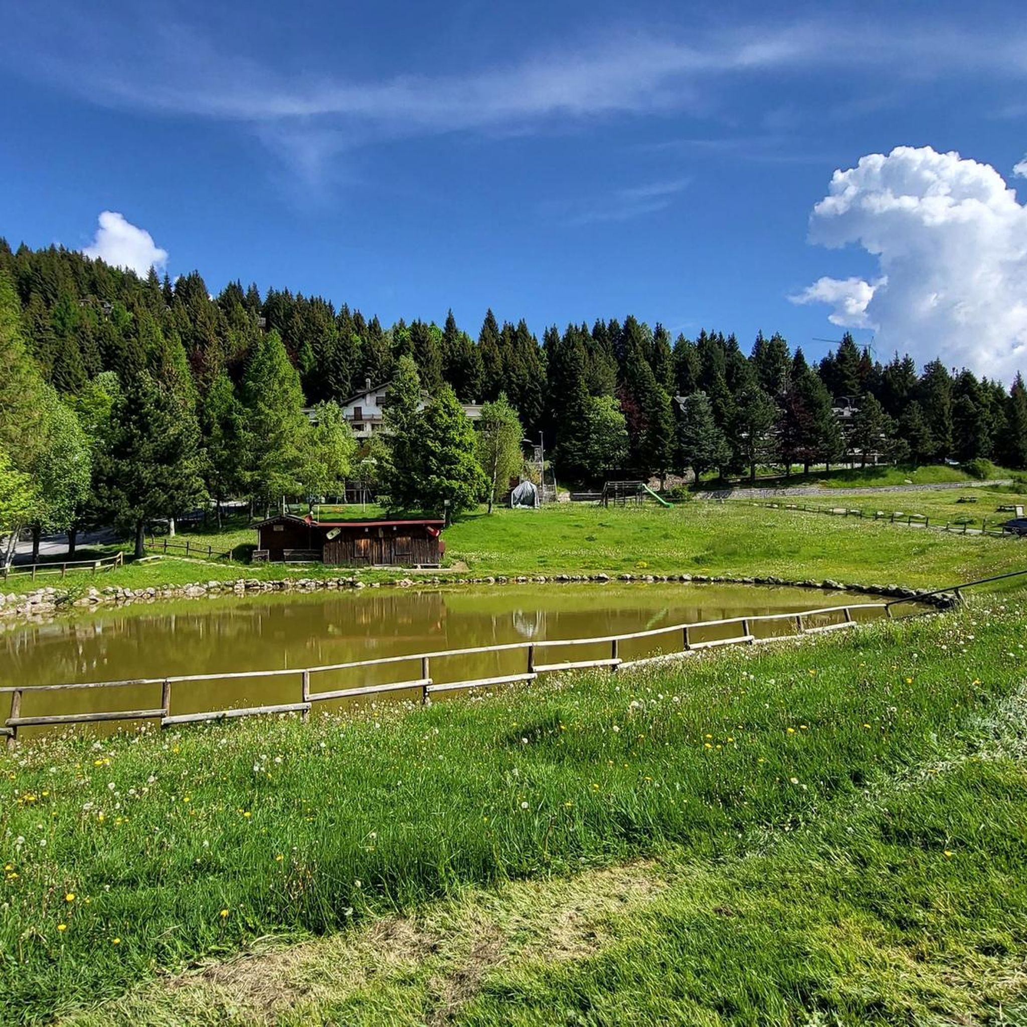
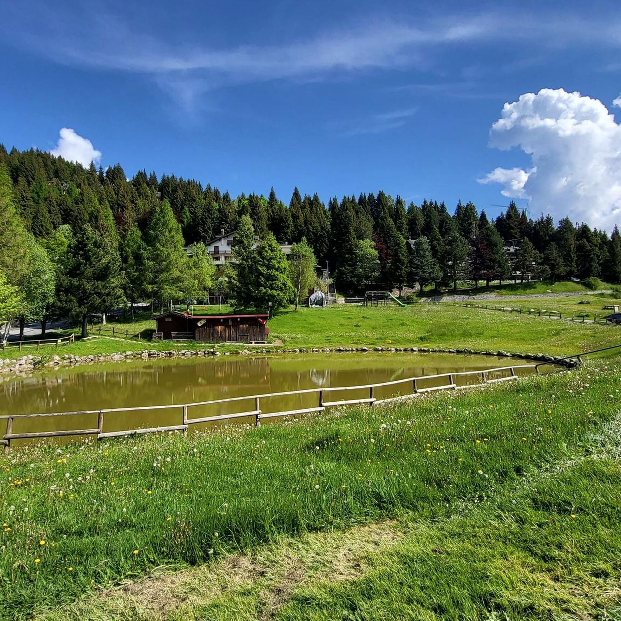
Welcoming refuge, very good value for money. E-bike charging
0
0

The Dosso Rotondo refuge is located in the Adamello Natural Park area, at about 1,900 meters above sea level. The structure is immersed in a breathtaking landscape, with a view of the surrounding peaks and the suggestive Lake Idro. Reachable via paths that wind through woods and alpine meadows, the refuge is an ideal place for a stop to enjoy typical dishes of the mountain tradition. Thanks to its position, it also offers numerous itineraries for those who want to continue towards other higher destinations or simply explore the surroundings.
0
0

Small open chapel at an altitude of 2085m, just above the Città di Clusone bivouac, in memory of the dead of Presolana, right under its majestic walls.
1
0

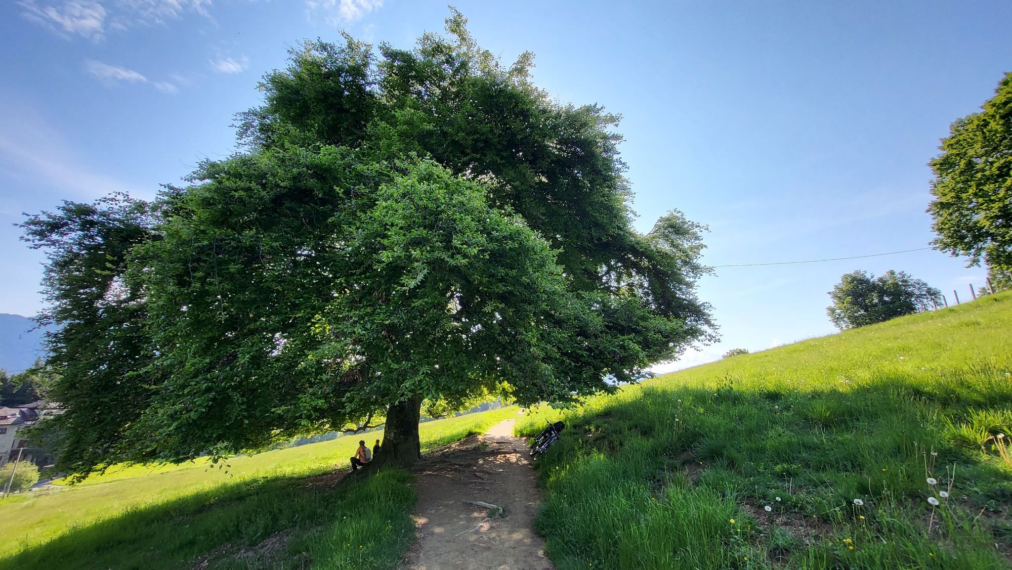
Clearly visible from all the surrounding paths, and also popular. I saw many hikers passing through in high season.
3
0

Reachable via the Creste di Montecampione, from Plan 1800 you follow the entire high street along the ridge, passing the round hill and continuing up to San Zeno sopra Pisogne. Spectacular views of Val Camonica, Val Trompia and the Po Valley.
0
0

Chapel near the bivouac City of Clusone
1
0
Frequently Asked Questions
What are some prominent mountain peaks to explore around Angolo Terme?
The region around Angolo Terme offers several impressive peaks. Pizzo Camino is a majestic peak known for demanding trails and panoramic views. Monte Altissimo provides moderate hiking experiences through peaceful country paths. Monte Arano is recognized for its commanding views of Lago di Lova. Additionally, the Savina Chapel and Città di Clusone bivouac are popular high-altitude spots offering stunning vistas.
Are there challenging mountain climbs for experienced hikers near Angolo Terme?
Yes, for experienced hikers, Pizzo Camino offers demanding trails to its summit, with some sections being loose and exposed. The Western Summit of the Presolana also presents a challenging ascent and descent that should not be underestimated. Pizzo Corzene, at 2,196m, can also be challenging depending on the chosen route, especially from its eastern side or rocky spurs.
Are there more accessible mountain excursions around Angolo Terme suitable for a wider range of fitness levels?
Absolutely. Monte Altissimo, at 1,703 meters, offers moderate hiking experiences through oak forests and historical villages, making it suitable for various fitness levels. Monte Arano provides a relatively easy excursion that can be undertaken year-round, offering great panoramic views without extreme difficulty.
What kind of natural features and panoramic views can I expect from the mountain peaks in this region?
The peaks around Angolo Terme offer diverse natural beauty. From Pizzo Camino, you can enjoy majestic and circular panoramic views. Monte Arano provides commanding views of the Lago di Lova below. The region features limestone and sandstone formations, and the natural park of Boschi del Giovetto di Paline on Pizzo Camino's ridge boasts rich biodiversity, including the *Formica rufa lugubris* ant. Many highlights, like Savina Chapel and Pizzo Corzene, are noted for their excellent viewpoints.
Are there family-friendly mountain walks or activities near Angolo Terme?
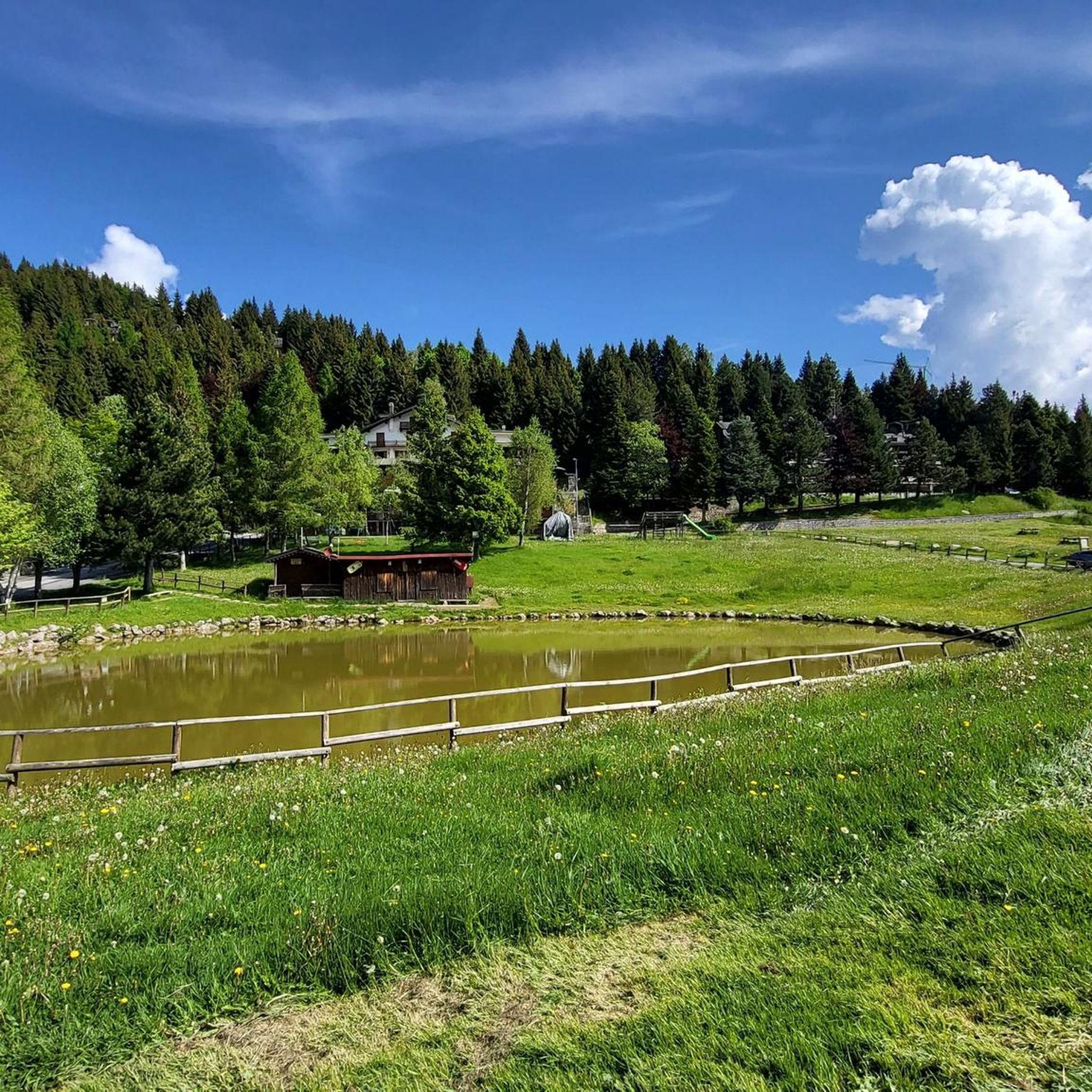
While some peaks are challenging, Monte Altissimo offers trails that are generally more accessible and suitable for various outdoor activities, including hiking and cycling, which can be enjoyed by families. The Dosso Rotondo Hut is also a welcoming spot with a small lake in front, offering hospitality and food, which can be a pleasant destination for a family outing.
What is the best time to visit the mountain peaks around Angolo Terme, and are there winter options?
Many peaks are enjoyable during warmer months for hiking. Monte Arano is a relatively easy excursion that can be undertaken year-round, though snowshoes are recommended in winter. Pizzo Camino is a popular destination for ski mountaineers during winter, particularly from its eastern slope, which is sheltered from avalanches.
Are there mountain huts or bivouacs available for resting or overnight stays?
Yes, there are several. The Città di Clusone bivouac is a small, essential hut located at 2,050m, offering a place for emergencies and stunning sunset/sunrise views. The Rifugio Gualtiero Laeng is located near the summit of Pizzo Camino, providing a potential resting point. Additionally, the Dosso Rotondo Hut offers hospitality and food, and is practically always open.
What outdoor activities can I do near these mountain peaks besides hiking?
The area around Angolo Terme is excellent for various outdoor activities. Monte Altissimo is popular for cycling tourism, mountain biking, road cycling, and running. You can find numerous routes for cycling, road cycling, and gravel biking in the vicinity, catering to different difficulty levels.
What do visitors enjoy most about the mountain peaks around Angolo Terme?
Visitors frequently praise the breathtaking panoramic views from the summits, especially at spots like Savina Chapel and Città di Clusone bivouac. The sense of accomplishment after challenging climbs, the tranquility of the natural environment, and the hospitality offered by huts like Dosso Rotondo Hut are also highly appreciated. The komoot community has shared over 110 photos and given more than 180 upvotes to these locations.
Are there any historical or religious landmarks among the peaks?
Yes, the Savina Chapel is a significant religious building and summit located at 2,085m above sea level. It serves as an important reference point for hikers and mountaineers and was built in memory of those who fell on the Presolana, dedicated to a young mountaineer. It's visible from various points in the Valle dell'Ombra.
What is the significance of the Boschi del Giovetto di Paline natural park?
The Boschi del Giovetto di Paline natural park, spanning 650 hectares, lies on the southern ridge of the Pizzo Camino massif. It is significant for its rich biodiversity, hosting various plant and animal species. Notably, it is home to the beneficial *Formica rufa lugubris* ant, making it an interesting area for nature enthusiasts.
Most popular routes around Angolo Terme
Most popular attractions around Angolo Terme

Get inspired with the komoot mobile app


Explore more
See even more amazing summits around Angolo Terme with these guides:
