The best walks and hikes around Pian Camuno
4.4
(6592)
36,535
hikers
578
hikes
Hiking around Pian Camuno offers diverse terrain within the lower Valle Camonica, characterized by mountainous landscapes, lush vegetation, and extensive woodlands. The region features varied elevations, from the Oglio River valley to higher mountain areas like Montecampione. Its proximity to Lake Iseo provides additional scenic routes along its shores.
Best hiking trails around Pian Camuno
- The most popular hiking route is Cima di Marucolo to Malga Rodeneto (via CAI 721), a 15.2 miles (24.5 km) trail that takes 8…
Last updated: September 28, 2026
4.0
(5)
59
hikers
24.5km
08:12
900m
900m
Hard hike. Very good fitness required. Mostly accessible paths. Sure-footedness required.
4.8
(6)
12
hikers
7.62km
02:31
340m
340m
Moderate hike. Good fitness required. Easily-accessible paths. Suitable for all skill levels.

3.0
(1)
7
hikers
5.53km
02:19
480m
480m
Moderate hike. Good fitness required. Easily-accessible paths. Suitable for all skill levels.
2.94km
00:46
20m
20m
Easy hike. Great for any fitness level. Easily-accessible paths. Suitable for all skill levels.
13.8km
04:37
680m
680m
Moderate hike. Good fitness required. Easily-accessible paths. Suitable for all skill levels.
Get access to more routes and recommendations from other explorers.
Already have an account?
Our route recommendations are based on thousands of hikes, rides, and runs completed by other people on komoot.
Start today with a free account
Your next adventure awaits.
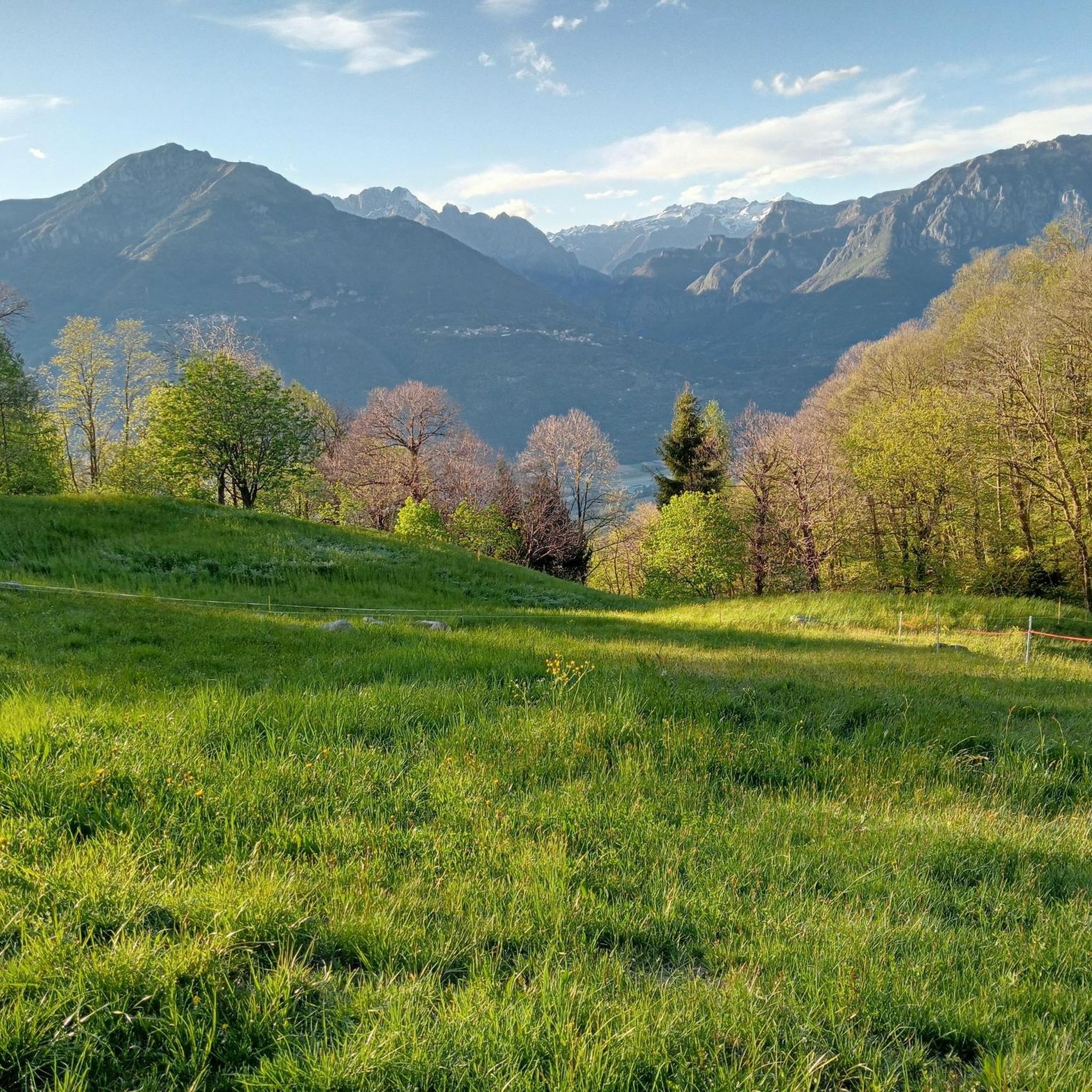
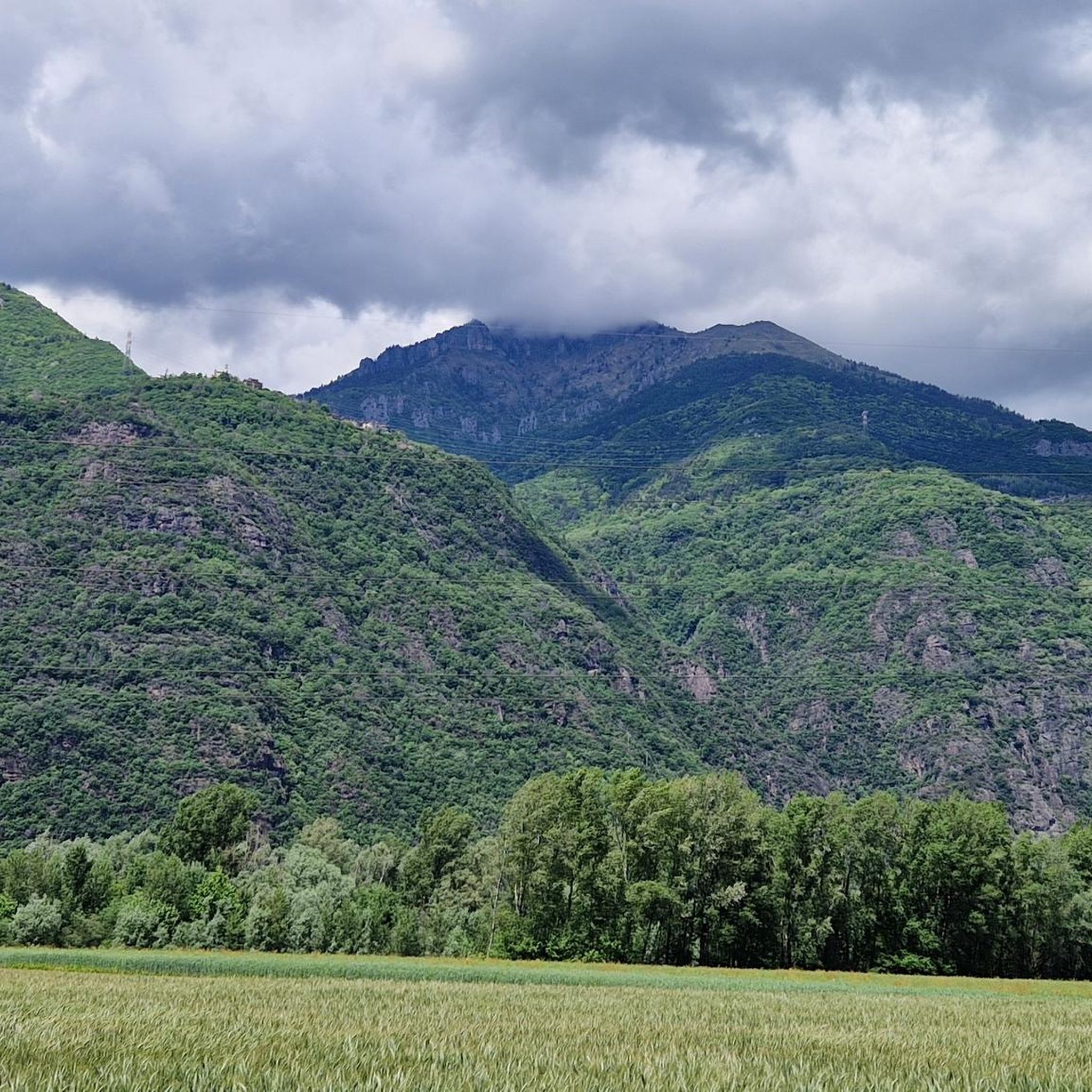
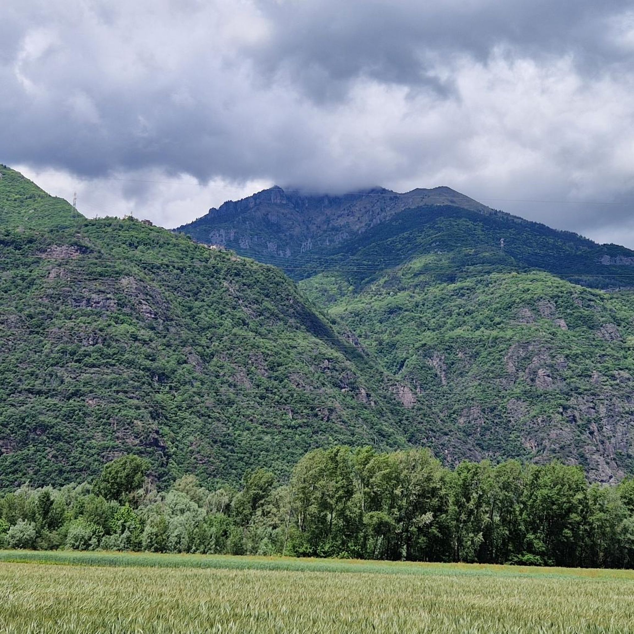
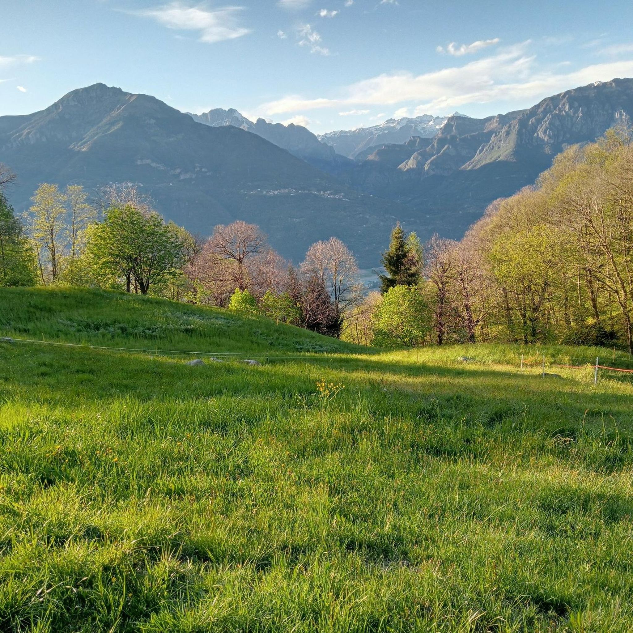
Tips from the Community

Especially on Saturdays and Sundays during the summer period (but better always) booking is recommended as it is very popular, you feel really good about the portions, the price and the services.
0
0

Welcoming refuge, very good value for money. E-bike charging
0
0

The Dosso Rotondo refuge is located in the Adamello Natural Park area, at about 1,900 meters above sea level. The structure is immersed in a breathtaking landscape, with a view of the surrounding peaks and the suggestive Lake Idro. Reachable via paths that wind through woods and alpine meadows, the refuge is an ideal place for a stop to enjoy typical dishes of the mountain tradition. Thanks to its position, it also offers numerous itineraries for those who want to continue towards other higher destinations or simply explore the surroundings.
0
0

Reachable via the Creste di Montecampione, from Plan 1800 you follow the entire high street along the ridge, passing the round hill and continuing up to San Zeno sopra Pisogne. Spectacular views of Val Camonica, Val Trompia and the Po Valley.
0
0

Suitable for the whole family and with an excellent base at the Dosso Rotondo refuge
0
0

At this point the CamminaForeste in Lombardia crosses the Sentiero delle tre valli (3V): 120 kilometers of trekking between Val Sabbia, Val Trompia and Val Camonica. In this portion you have incredible views, remaining on the crest of Mount Dosso Rotondo.
3
0

Montecampione has dedicated a dutiful tribute to Marco Pantani, the unforgettable cycling champion, to commemorate the legendary climb of June 4, 1998. After a long period of work, the project has finally been completed. On 26 June 2021, an imposing 6-metre-high statue was inaugurated at Plan di Montecampione. The event saw the participation of various authorities, numerous enthusiasts and Tonina Belletti, the mother of the "Pirate".
2
0

In addition to the beautiful images of Pantani drawn on the walls that line the road to the Plan, you can admire the magnificent statue in memory of his exploits on 4 June 1998. Here Pantani, eyes closed and arms raised towards the sky, crossed the finish line of an epic stage of the Giro d'Italia, after a legendary duel with Pavel Tonkov.
0
0
Frequently Asked Questions
How many hiking trails are available in Pian Camuno?
Pian Camuno offers a wide variety of hiking opportunities, with over 550 routes recorded on komoot. These range from easy strolls to challenging mountain excursions, catering to all experience levels.
What kind of terrain can I expect when hiking in Pian Camuno?
The terrain in Pian Camuno is predominantly mountainous, situated within the lower Valle Camonica. You'll find a mix of lush woodlands, open fields, and paths along the Oglio River. The region's proximity to Lake Iseo also means scenic routes with lake views and some trails that cut into the rock face.
Are there easy hiking trails suitable for beginners or families in Pian Camuno?
Yes, Pian Camuno has over 100 easy hiking routes, perfect for beginners or families with children. These trails often traverse historical mule paths or gentle village walks, such as the Rogno village walk to Chiesa di Santo Stefano, offering pleasant excursions without significant elevation gain.
What natural attractions or landmarks can I see while hiking in Pian Camuno?
While hiking in Pian Camuno, you can explore several notable natural attractions. The unique Pyramids of Zone are a must-see geological formation near Lake Iseo. Other highlights include the Valle del Freddo Nature Reserve and the scenic Bogn Bay. Many trails also offer views of Lake Iseo and the surrounding mountainous landscape.
What is the best time of year to go hiking in Pian Camuno?
The best time for hiking in Pian Camuno is typically during the warmer months, from spring through autumn. While the area is known for skiing at Montecampione in winter, the spring and fall offer pleasant temperatures and vibrant scenery for exploring the diverse trails and enjoying Lake Iseo without extreme heat or snow.
Are there any long-distance or challenging hikes in the area?
Yes, for experienced hikers seeking a challenge, Pian Camuno offers nearly 150 difficult routes. One such demanding trail is Cima di Marucolo to Malga Rodeneto (via CAI 721), which covers over 24 kilometers and involves significant elevation changes, providing expansive views of the mountainous terrain.
Can I bring my dog on the hiking trails in Pian Camuno?
Most hiking trails in Pian Camuno are dog-friendly, allowing you to enjoy the natural beauty with your canine companion. However, it's always advisable to keep your dog on a leash, especially in areas with livestock or wildlife, and to check for any specific local regulations or protected areas that might have restrictions.
Are there any scenic routes along Lake Iseo?
Absolutely. Pian Camuno's proximity to Lake Iseo provides several scenic routes. The Agritouristic Trail of Lake Iseo offers beautiful views of the lake and its agricultural surroundings. Additionally, the Vello–Toline Cycle Path, though primarily for cycling, is also suitable for walking and offers stunning cantilevered sections directly over the water.
What do other hikers enjoy the most about hiking in Pian Camuno?
The komoot community highly rates hiking in Pian Camuno, with an average score of 4.5 stars from over 5,200 reviews. Hikers frequently praise the diverse mountainous terrain, the serene woodlands, and the picturesque views of Lake Iseo and the Valle Camonica. The variety of routes, from easy walks to challenging ascents, is also a common highlight.
Are there circular hiking routes available in Pian Camuno?
Many of the hiking routes in Pian Camuno are designed as circular paths, allowing you to start and end your journey at the same point without retracing your steps. While specific data on all circular routes isn't available, the extensive network of trails in the region offers numerous options for loop hikes through forests, villages, and along the lake.
What are the parking options for trailheads in Pian Camuno?
Parking availability varies by trailhead in Pian Camuno. Many popular starting points for hikes, especially near villages or attractions, offer designated parking areas. For more remote trails, roadside parking might be an option. It's recommended to check specific route details or local signage for the best parking solutions before you head out.
Is public transport available to reach hiking trails in Pian Camuno?
Public transport options, primarily local bus services, connect some of the towns and villages in and around Pian Camuno, which can provide access to certain trailheads. However, direct access to all hiking routes by public transport may be limited, especially for more remote mountain trails. Planning your route in advance and checking local bus schedules is advisable.
Most popular routes around Pian Camuno
Most popular attractions around Pian Camuno

Get inspired with the komoot mobile app


Explore more
Browse the best Hikes in other regions.
