The best MTB trails around Parzanica
4.4
(1864)
11,812
riders
175
rides
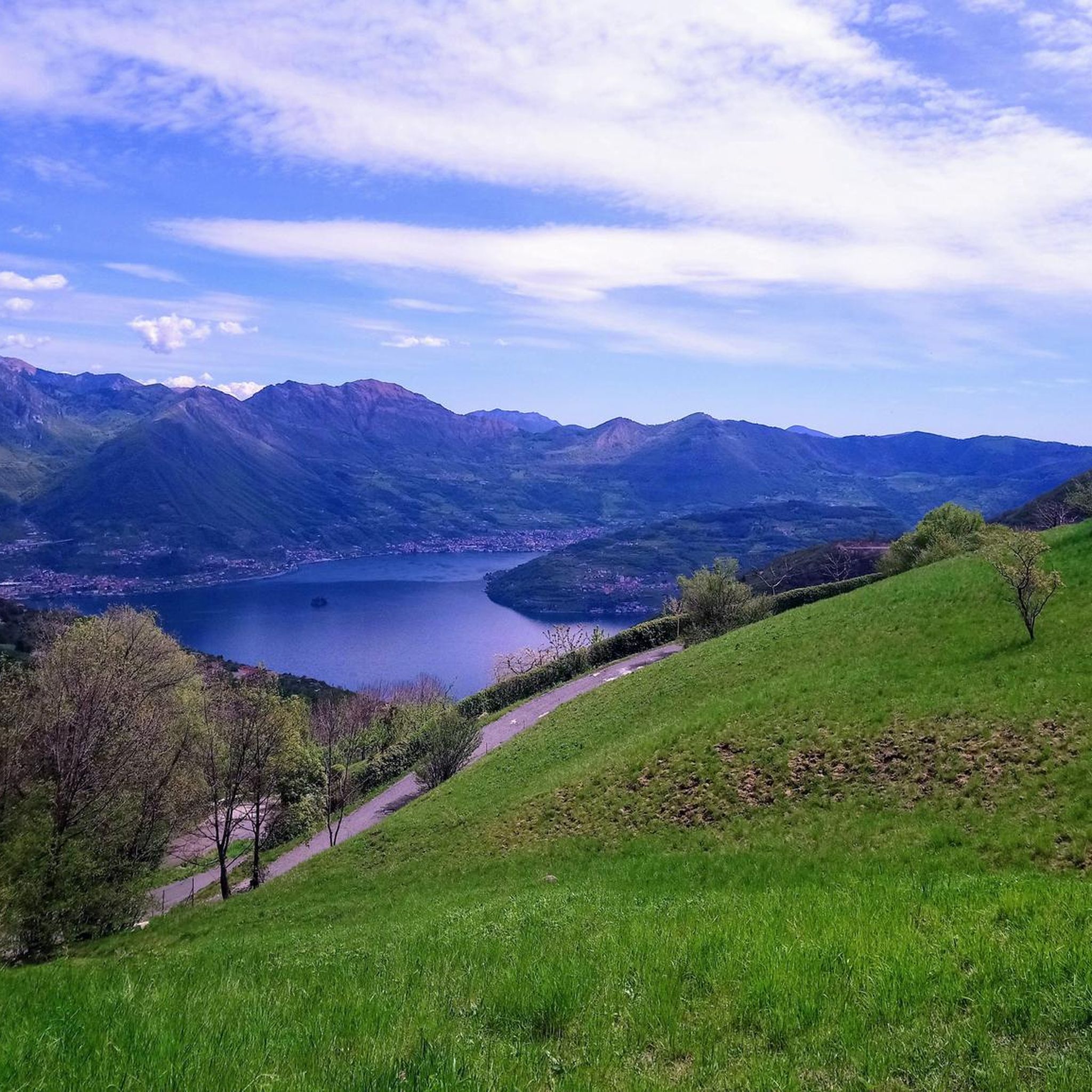
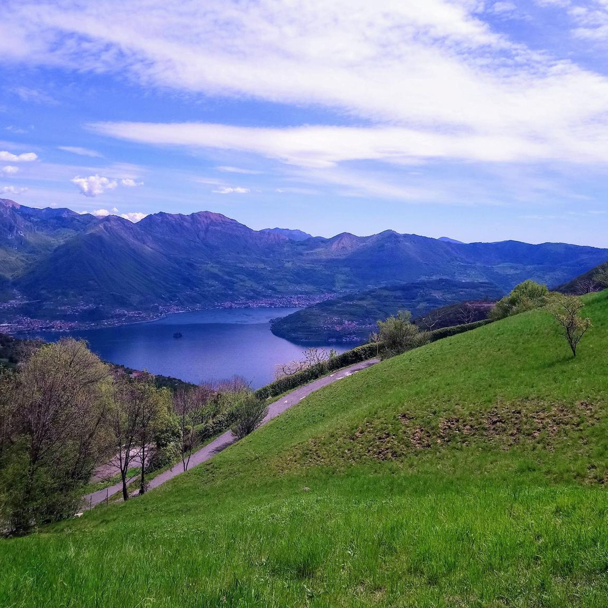
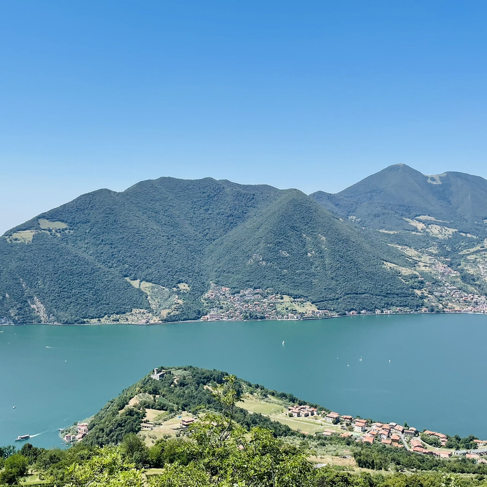
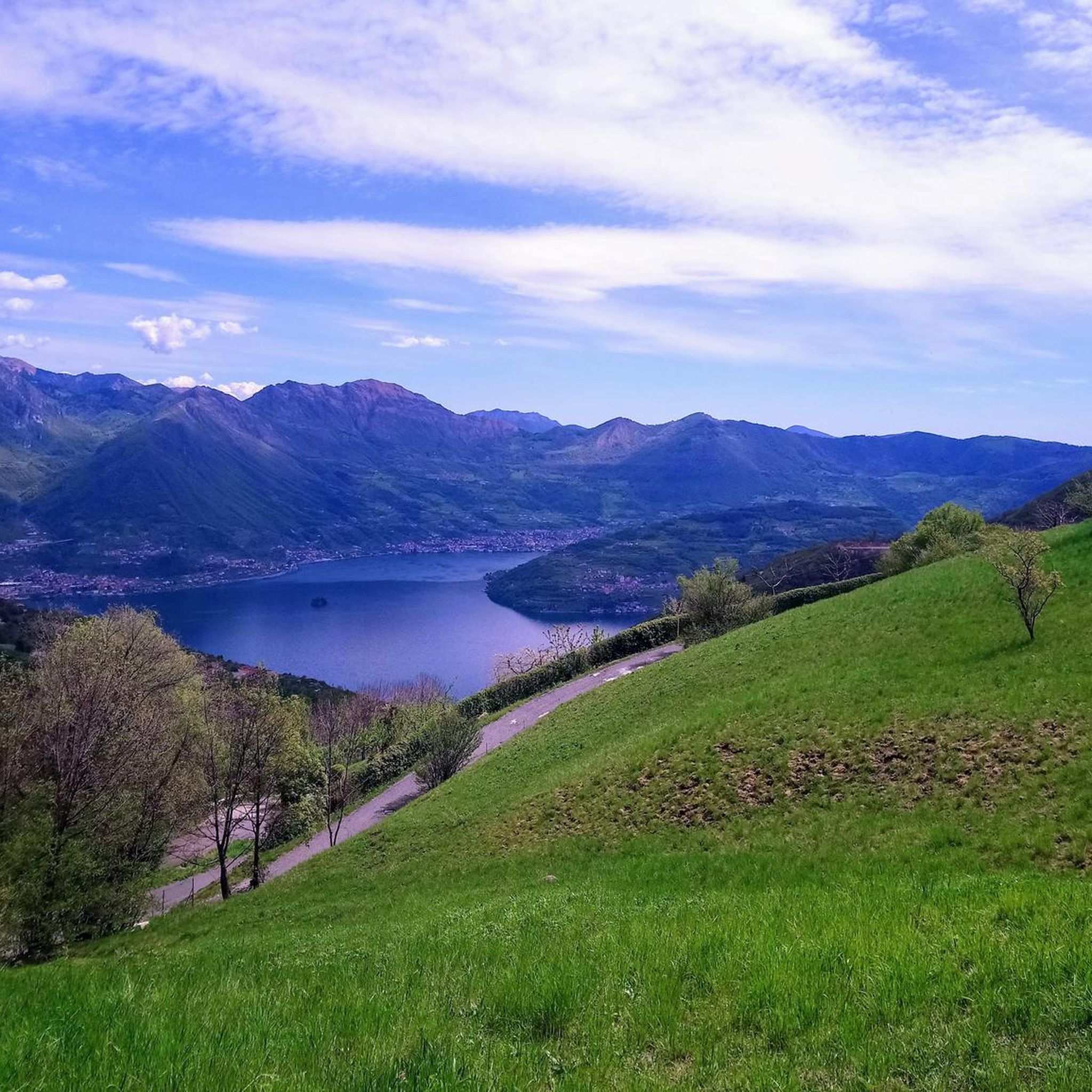
Mountain bike trails around Parzanica are located in the Province of Bergamo, Italy, offering diverse terrain overlooking Lake Iseo and Monte Isola. The area is situated at an elevation of 750 meters above sea level, providing panoramic views, and features peaks such as Monte Creò (1106 m) and Monte Cremona (1083 m). A network of wooded trails and historical mule tracks provides varied paths for mountain biking, including challenging climbs and descents.
Best mountain bike trails around Parzanica
- The most…
Last updated: May 20, 2026
3.0
(1)
7
riders
14.8km
01:44
630m
630m
This difficult 9.2-mile mountain bike loop offers panoramic views of Lake Iseo from Monte Bucone, with 2060 feet of elevation gain.
2
riders
9.97km
01:04
400m
390m
Moderate mountain bike ride. Good fitness required. Suitable for all skill levels.

Sign up for free
4.6
(57)
311
riders
33.7km
02:45
830m
830m
Moderate mountain bike ride. Good fitness required. Advanced riding skills necessary.
4.8
(20)
130
riders
43.5km
02:17
180m
180m
Moderate mountain bike ride. Good fitness required. Suitable for all skill levels.
4.8
(18)
85
riders
25.0km
02:44
1,060m
1,060m
Hard mountain bike ride. Very good fitness required. Suitable for all skill levels.
Get access to more routes and recommendations from other explorers.
Sign up for free
Already have an account?
Our route recommendations are based on thousands of hikes, rides, and runs completed by other people on komoot.
Start today with a free account
Your next adventure awaits.
Login or Signup

Tips from the Community

The Rifugio Croce di Marone is located at 1,166 m on the southern slope of Monte Guglielmo, above Marone, and is one of the most convenient and frequented starting points for climbing the Guglielmo. 🏔️ Hut identity and location The refuge is located in the Croce di Marone area, reachable via the road that climbs from Marone → Cislano → Madonna della Rota, crossing the Valle dell’Opol. It is situated in a panoramic and strategic point for: Monte Guglielmo (1948 m) – classic and very frequented ascent Malga Guglielmo di Sotto and di Sopra Rifugio Almici Piani di Caregno The refuge is open all year round, has a restaurant, electric light, hot water, and about 15 beds. 🚗 How to get there By car from Marone Follow the signs for Zone. After about 4.5 km, past the cable car underpasses, you will find a sharp right turn with a sign for the refuge. The road becomes narrow and steep in the final kilometers. Paid parking with scratch card (3 € up to 4 hours, 5 € for longer). On foot from Zone (Englar) You can leave your car at the Englar restaurant (640 m). Ascent along the road/CAI 226 trail → approx. 1h20’–1h50’ depending on whether you cut corners. 🚶♂️ Main excursions from the refuge 1. Monte Guglielmo (E – approx. 2h) This is the shortest and most direct route to reach the summit of Guglielmo: Initial mule track Junction for Malpensata Section with white-blue 3V trail markers Malga Guglielmo di Sotto → Malga di Sopra Rifugio Almici → summit with the Monument to the Redeemer The panorama over the Sebino and the Prealps is considered one of the most beautiful in the area. 2. Rifugio Almici (1861 m) – 2h Simple and panoramic route along the mule track. 3. Piani di Caregno – 3h30’ Longer but very scenic route. 🏞️ Environment and atmosphere The area is characterized by: beech and fir woods open pastures views of Lake Iseo and Val Trompia presence of the 3V trail nearby It is an ideal spot for short excursions, longer treks, or family days out.
0
0

A unique view of the lake, on clear days you will be captivated
0
0

The CROCE DI PREDORE rises above the Lombard landscape, its steel framework construction reaching towards the sky from the mountain. The small sacred monument and the view invite passers-by to take a short break, which you should definitely do here.
0
0

Very safe and easy to follow.
1
0

The restaurant was closed after an inspection by the NAS… just last year…
0
0

Wonderful climb towards Mount Guglielmo
0
0

Simple tour in Polaveno
0
0

Frequently Asked Questions
How many mountain bike trails are available around Parzanica?
There are over 170 mountain bike trails around Parzanica, offering a wide range of options for different skill levels. This includes 22 easy routes, 80 moderate routes, and 77 difficult routes, ensuring there's something for every mountain biker.
What kind of terrain can I expect on mountain bike trails near Parzanica?
The terrain around Parzanica is diverse, characterized by impressive mountain reliefs, wooded trails, and historical mule tracks. You'll encounter varied surfaces, from challenging climbs and technical downhill sections on peaks like Monte Creò and Monte Cremona, to more serene paths offering continuous views of Lake Iseo.
Are there any easy or beginner-friendly mountain bike trails in Parzanica?
Yes, Parzanica offers 22 easy mountain bike routes. While specific beginner routes aren't detailed here, the region's varied terrain means there are less strenuous options available, often providing beautiful views without extreme technical demands. For less strenuous rides, the Vello–Toline Cycle Path along Lake Iseo is also a beautiful option.
Where can I find challenging mountain bike routes around Parzanica?
For those seeking a challenge, Parzanica boasts 77 difficult mountain bike routes. A notable difficult trail is the Panorama sul Lago d'Iseo dal Monte Bucone - Giro ad anello, which is 9.2 miles (14.8 km) long with significant elevation gain. Another challenging option is the Panoramic view of Lake Iseo – Beautiful stretch on Mount Wilhelm loop from Marone-Zone, which features nearly 1000 meters of elevation gain.
Are there mountain bike trails with panoramic views of Lake Iseo?
Absolutely. Parzanica is known as a 'natural terrace' and many trails offer breathtaking panoramic views of Lake Iseo and Monte Isola. Routes like Panorama sul Lago d'Iseo dal Monte Bucone - Giro ad anello and Salita al Monte Creò e panorami sull'Iseo - Giro ad anello are specifically highlighted for their expansive vistas.
Can I find loop mountain bike trails in Parzanica?
Yes, many mountain bike trails in Parzanica are designed as loop routes. Examples include the Panorama sul Lago d'Iseo dal Monte Bucone - Giro ad anello and the Salita al Monte Creò e panorami sull'Iseo - Giro ad anello, both of which allow you to start and finish at the same point.
What natural features or landmarks can I see while mountain biking in Parzanica?
While mountain biking around Parzanica, you can encounter several natural and cultural highlights. These include the stunning views of Lake Iseo and Monte Isola, the largest lake island in Europe. You might also pass by the Romanesque Church of the Santissima Trinità with its 15th-century frescoes, or the rustic hamlet of Acquaiolo. Nearby natural attractions include the Pyramids of Zone and the Torbiere del Sebino Nature Reserve.
Is Parzanica a good destination for family mountain biking?
Parzanica offers a range of trails, including 22 easy routes, which can be suitable for families. The region's beautiful scenery and less strenuous options provide opportunities for enjoyable rides together. For very young riders or those preferring flat paths, the Vello–Toline Cycle Path along Lake Iseo is a great option.
What is the best time of year for mountain biking in Parzanica?
The best time for mountain biking in Parzanica is generally during the spring and autumn months when the weather is milder and the landscapes are particularly vibrant. Summer can also be pleasant, especially at higher elevations, but it's advisable to start earlier in the day to avoid the midday heat. Winters can bring snow to higher peaks, making some trails inaccessible.
Are there options for parking near the mountain bike trails in Parzanica?
While specific parking locations for each trail are not detailed here, Parzanica, being a village, typically offers public parking areas. It's advisable to check local signage upon arrival or consult detailed route information on komoot for specific starting points and parking suggestions for individual trails.
What do other mountain bikers say about the trails in Parzanica?
The mountain bike trails around Parzanica are highly rated by the komoot community, with an average score of 4.4 stars from over 2000 reviews. Reviewers often praise the stunning panoramic views of Lake Iseo, the diverse terrain, and the variety of routes suitable for different skill levels, from challenging climbs to serene wooded paths.
Are there any bike parks or dedicated MTB areas near Parzanica?
Yes, there are bike parks and dedicated MTB areas around Parzanica. You can explore highlights such as the Oblivion Enduro Trail and the Provaglio Ligure Trail // Hellboy, which offer specific features for mountain biking enthusiasts.
Most popular routes around Parzanica
Most popular attractions around Parzanica

Get inspired with the komoot mobile app


Explore more
Browse the best MTB trails in other regions.
