The best MTB trails around Monte Isola
4.3
(2762)
16,834
riders
191
rides
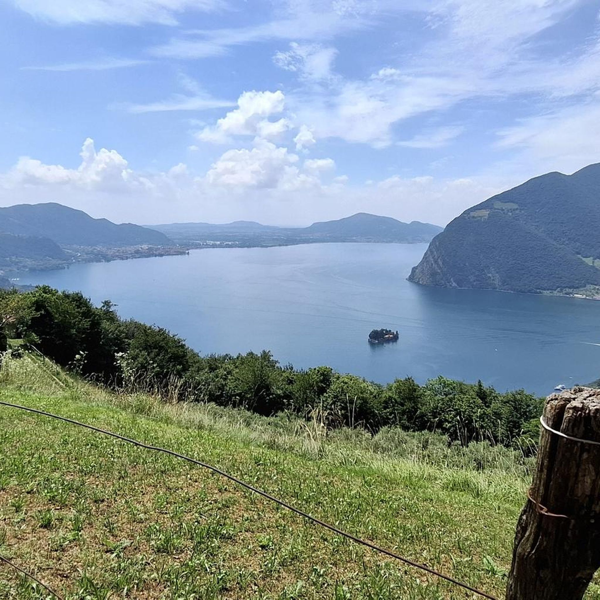
Mountain biking around Monte Isola offers a unique experience on Europe's largest lake island, characterized by its car-free environment. The island rises over 600 meters above Lake Iseo, providing diverse terrain from scenic coastal roads to challenging ascents. Its landscape features a mix of paved paths, ancient mule tracks, olive groves, and wooded areas, catering to various skill levels. This natural setting, combined with panoramic views of the lake and surrounding Alps, makes it a notable destination for outdoor activities.
Best mountain bike trails around Monte Isola
- The most popular mountain bike trail is Montisola — Giro ad anello, a 6.1 miles (9.8 km) trail that takes 38 minutes to complete. This easy route circles the island, offering continuous lake views.
- Another top favourite among local mountain bikers is Sanctuary Pathway on Monte Isola – View of Isola di Loreto loop from Sulzano, a moderate 8.7 miles (14.0 km) path. This route leads through the island's interior and towards its highest point.
- Local mountain bikers also love the Panoramic view of Lake Iseo – Cross of Zones loop from Sale Marasino, a 20.8 miles (33.5 km) trail leading through varied terrain with significant elevation gain, often completed in about 3 hours 28 minutes.
- Mountain biking around Monte Isola is defined by car-free scenic coastal roads, challenging ascents to viewpoints like the Sanctuary of Madonna della Ceriola, and paths through olive groves and wooded areas. The network offers options for different ability levels, from relaxed rides to strenuous climbs.
- The routes in Monte Isola are highly rated by the komoot community with an average score of 4.4 stars from over 2,400 reviews. More than 16,000 mountain bikers have used komoot to explore Monte Isola's varied terrain.
Last updated: October 4, 2026
4.3
(21)
117
riders
9.78km
00:38
150m
150m
Easy mountain bike ride. Great for any fitness level. Suitable for all skill levels.
4.4
(34)
224
riders
30.9km
01:57
390m
390m
Moderate mountain bike ride. Good fitness required. Suitable for all skill levels.

4.5
(64)
392
riders
47.2km
02:49
470m
470m
Moderate mountain bike ride. Good fitness required. Suitable for all skill levels.
4.1
(10)
55
riders
28.6km
03:08
1,210m
1,210m
Hard mountain bike ride. Very good fitness required. Advanced riding skills necessary.
4.7
(3)
31
riders
34.5km
02:22
350m
350m
Moderate mountain bike ride. Good fitness required. Suitable for all skill levels.
Get access to more routes and recommendations from other explorers.
Already have an account?
Our route recommendations are based on thousands of hikes, rides, and runs completed by other people on komoot.
Start today with a free account
Your next adventure awaits.
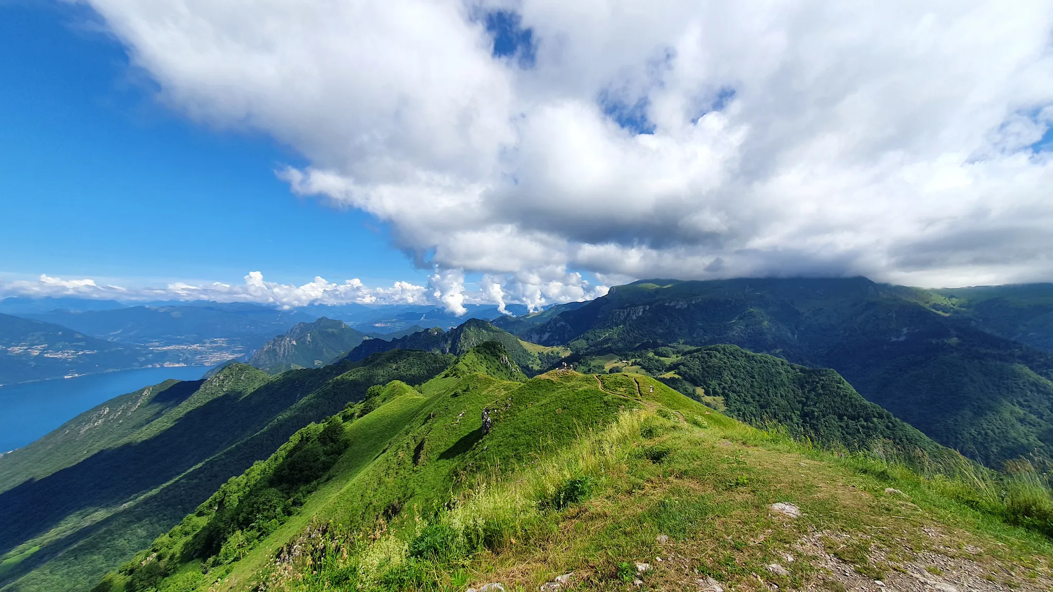
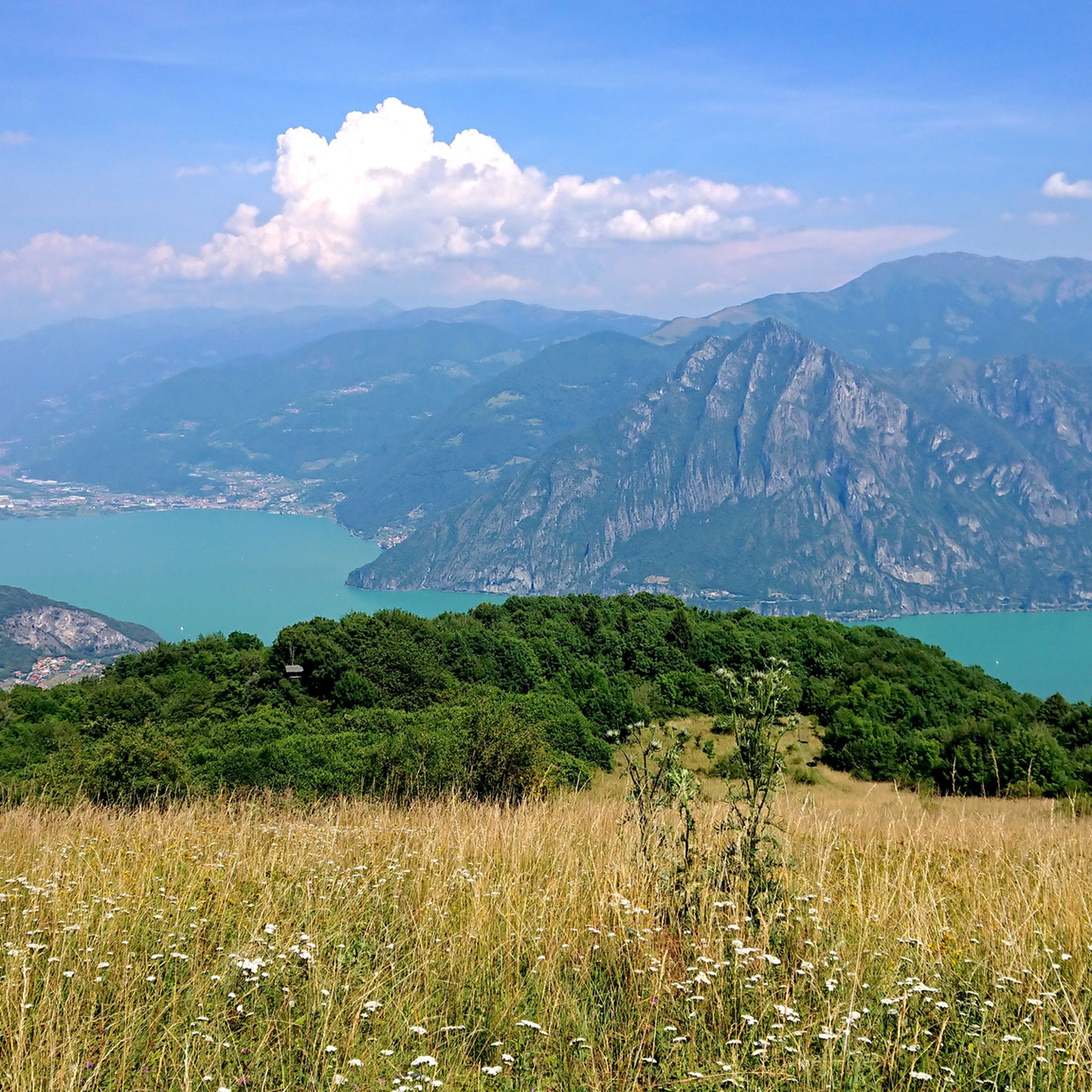
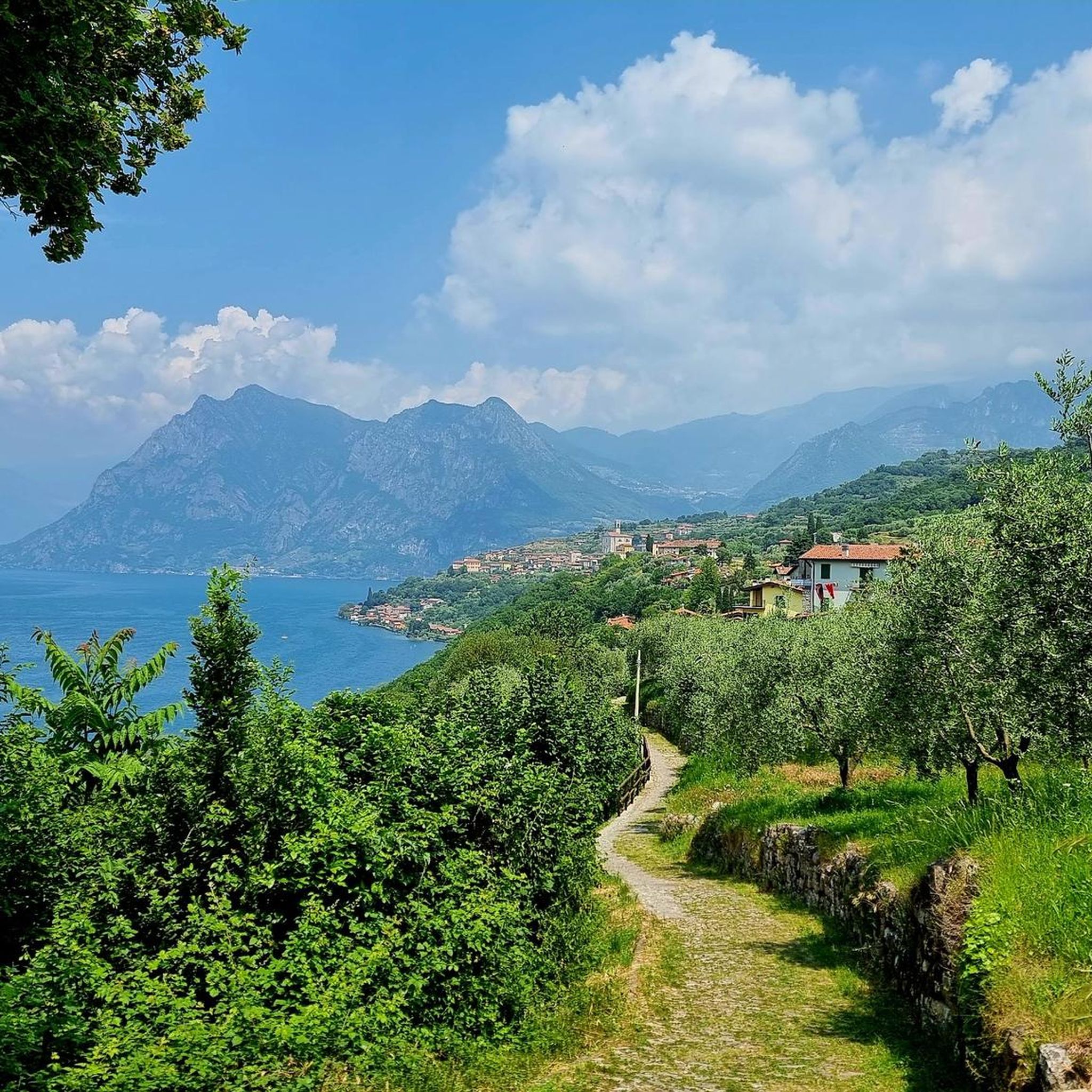
Other adventures around Monte Isola

Tips from the Community

The Vello - Toline Cycle Path is one of the most spectacular and evocative lakeside walks in Lombardy, created from the disused old coastal road of Lake Iseo. The route winds along the water's edge for about 5 kilometers (one way) between the hamlet of Vello (municipality of Marone) and Toline (municipality of Pisogne), offering breathtaking views of the sheer rock faces and the Castro gorge on the Bergamo side.
0
0

A fantastic section on Lake Iseo - the old road is now reserved exclusively for cyclists and pedestrians - you can't ride any more beautifully!
0
0

La Forcella di Sale is a pass at about 1150 m above Sale Marasino, a junction point between the Iseo Lake slope and Val Trompia, and direct access to the Filippo Benedetti Equipped Path towards Punta Almana. 📍 What it is and where it is located Official sources describe it as a take-off point for paragliding and a key passage for those climbing towards Almana or Guglielmo. Altitude: 1150 m Location: above Portole (Sale Marasino) Function: pass between Lake Iseo and Val Trompia, connected to Croce di Marone by a mountain road It is also the point where the Filippo Benedetti Equipped Path begins, one of the most scenic and technical stretches in the area. 🥾 How to reach it 1) From Sale Marasino (classic itinerary) The route starts from the car park above the village: first km on a steep asphalt road you reach Forcella di Sale after a few hairpin bends here is the gate that leads to the equipped path 2) From Croce di Marone A largely downhill connection, with short climbs, leads to Forcella di Sale passing through Passo Spino . 3) By MTB The road between Croce di Marone and Forcella di Sale is described as pleasant and panoramic, suitable for mountain biking . 🧗 Filippo Benedetti Equipped Path From the Forcella starts the most characteristic section of the hike towards Punta Almana: exposed passages short rocky sections where you need to use your hands it is not a via ferrata, but requires a sure footing and absence of vertigo spectacular panorama of the lake already from the ridge 🚴 For those climbing by bike The ascent from Sale Marasino is considered very hard: 6.7 km 918 m of elevation gain 13.7% average gradient last 2.5 km "almost vertical" according to reviews 🌄 Why it is an important point It is one of the two main passes of the eastern Sebino along with Croce di Marone It allows you to reach Punta Almana (via the ridge or via the equipped path) It is a take-off point for paragliding with a view of Monte Isola
0
0
The Rifugio Croce di Marone is located at 1,166 m on the southern slope of Monte Guglielmo, above Marone, and is one of the most convenient and frequented starting points for climbing the Guglielmo. 🏔️ Hut identity and location The refuge is located in the Croce di Marone area, reachable via the road that climbs from Marone → Cislano → Madonna della Rota, crossing the Valle dell’Opol. It is situated in a panoramic and strategic point for: Monte Guglielmo (1948 m) – classic and very frequented ascent Malga Guglielmo di Sotto and di Sopra Rifugio Almici Piani di Caregno The refuge is open all year round, has a restaurant, electric light, hot water, and about 15 beds. 🚗 How to get there By car from Marone Follow the signs for Zone. After about 4.5 km, past the cable car underpasses, you will find a sharp right turn with a sign for the refuge. The road becomes narrow and steep in the final kilometers. Paid parking with scratch card (3 € up to 4 hours, 5 € for longer). On foot from Zone (Englar) You can leave your car at the Englar restaurant (640 m). Ascent along the road/CAI 226 trail → approx. 1h20’–1h50’ depending on whether you cut corners. 🚶♂️ Main excursions from the refuge 1. Monte Guglielmo (E – approx. 2h) This is the shortest and most direct route to reach the summit of Guglielmo: Initial mule track Junction for Malpensata Section with white-blue 3V trail markers Malga Guglielmo di Sotto → Malga di Sopra Rifugio Almici → summit with the Monument to the Redeemer The panorama over the Sebino and the Prealps is considered one of the most beautiful in the area. 2. Rifugio Almici (1861 m) – 2h Simple and panoramic route along the mule track. 3. Piani di Caregno – 3h30’ Longer but very scenic route. 🏞️ Environment and atmosphere The area is characterized by: beech and fir woods open pastures views of Lake Iseo and Val Trompia presence of the 3V trail nearby It is an ideal spot for short excursions, longer treks, or family days out.
0
0
Lake Iseo offers spectacular panoramic views, ideal for trekking and photography. The best spots include Corna Trentapassi (1244m) for a 360° panorama, the Parzanica viewpoint, the Eremo di San Defendente, and the summit of Monte Guglielmo. Monte Isola and the Piramidi di Zone also offer unique views. And let's not forget the view from above over Pisogne.
0
0

A unique view of the lake, on clear days you will be captivated
0
0

Ciclabile Vello Toline. I did it for the first time today, wonderful. Monte Altissimo, Strada della Forra, Tremalzo and Vello Toline are the routes that left me speechless. Absolutely worth trying.
1
0

A charming cycle and pedestrian path suitable for everyone, both adults and children.
1
0
Frequently Asked Questions
How many mountain bike trails are available in Monte Isola?
There are over 200 mountain bike routes around Monte Isola, catering to various skill levels. This includes 31 easy routes, 104 moderate routes, and 71 difficult trails, offering a wide range of options for exploration.
What kind of terrain can I expect when mountain biking on Monte Isola?
Monte Isola offers diverse terrain, from mostly flat, paved perimeter roads ideal for relaxed rides to challenging ascents on ancient mule tracks and paths through olive groves and wooded areas. The island rises over 600 meters above Lake Iseo, providing significant elevation changes for more strenuous rides, particularly towards the Sanctuary of Madonna della Ceriola.
Are there any family-friendly mountain bike trails on Monte Isola?
Yes, the car-free environment of Monte Isola makes it suitable for families. The paved perimeter road, approximately 9-10 kilometers long, is mostly flat and connects charming fishing villages, offering continuous lake views. An example of an easy, circular route is Montisola — Giro ad anello, which circles the island.
What are the best viewpoints or landmarks to see while mountain biking?
The island offers breathtaking 360-degree views of Lake Iseo and the Alps. A significant landmark is the Sanctuary of Madonna della Ceriola, perched at the island's highest point, offering unparalleled panoramic views. You can reach it via routes like the Sanctuary Pathway on Monte Isola – View of Isola di Loreto loop from Sulzano. Additionally, the island's traditional villages like Peschiera Maraglio and Carzano provide cultural insights and scenic stops.
Are there any circular mountain bike routes available?
Yes, many routes are designed as loops. A popular easy circular route that goes around the island is Montisola — Giro ad anello. For a more challenging option with significant elevation, consider the Panoramic view of Lake Iseo – Cross of Zones loop from Sale Marasino, which starts from the mainland.
What do other mountain bikers say about the trails in Monte Isola?
The mountain bike routes in Monte Isola are highly rated by the komoot community, with an average score of 4.4 stars from over 2,400 reviews. Riders often praise the unique car-free environment, the stunning lake views, and the variety of trails that cater to different fitness levels, from gentle lakeside rides to challenging climbs to the island's summit.
Can I rent a mountain bike on Monte Isola?
Yes, bike rentals are readily available in the main villages of Monte Isola, particularly in Peschiera Maraglio and Carzano, for those who prefer not to bring their own.
What are some notable attractions or points of interest near the mountain bike trails?
Beyond the island itself, the surrounding area offers several points of interest. You can find various huts and cabins, such as Almici Hut – Monte Guglielmo or Santa Maria del Giogo mountain hut and sanctuary. There are also mountain passes like San Fermo Pass (La Bratta), which can be incorporated into longer rides from the mainland.
Are there any challenging mountain bike routes for experienced riders?
Absolutely. For experienced riders seeking a challenge, routes with significant elevation gain are available. An example is the Panoramic view of Lake Iseo – Cross of Zones loop from Sale Marasino, which is rated as difficult and features over 1250 meters of ascent. The climb to the Sanctuary of Madonna della Ceriola also offers a demanding ascent.
What is the best time of year to go mountain biking in Monte Isola?
Monte Isola is enjoyable for mountain biking for much of the year. Spring and autumn offer pleasant temperatures and beautiful scenery, with fewer crowds than the peak summer months. While the car-free environment is a constant, checking local weather forecasts is always advisable, especially for routes involving higher elevations.
Are there any regulations regarding electric bikes or scooters on Monte Isola?
Recent regulations have been introduced regarding electric velocipedes and kick scooters, with bans on their landing and transit from outside the municipal area during peak seasons and holidays. It's advisable to check current local rules before planning your trip, especially if you intend to use an e-bike brought from off-island.
Most popular routes around Monte Isola
Most popular attractions around Monte Isola

Get inspired with the komoot mobile app


Explore more
Browse the best MTB trails in other regions.
