The best walks and hikes around Grimacco
4.5
(4319)
22,356
hikers
16
hikes
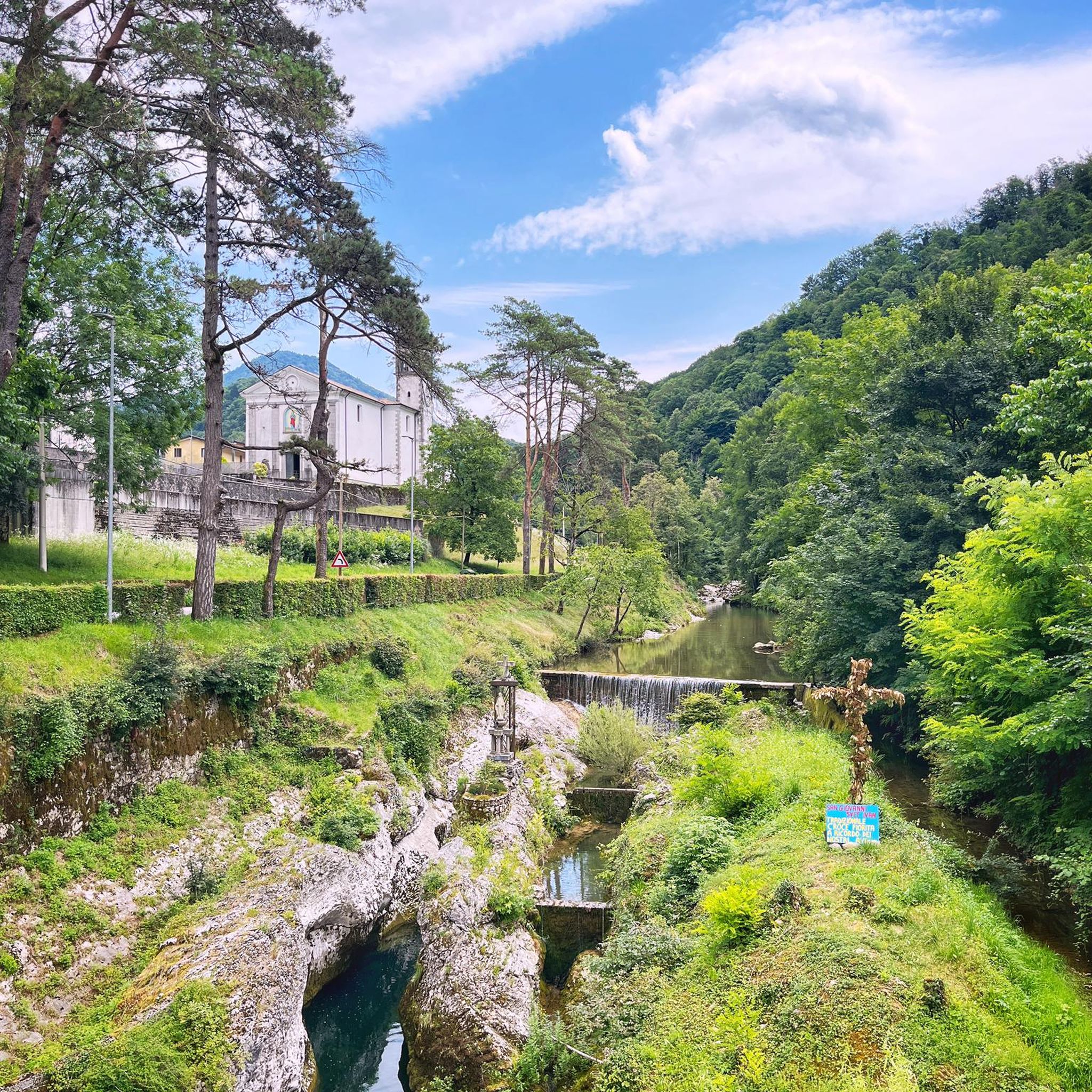
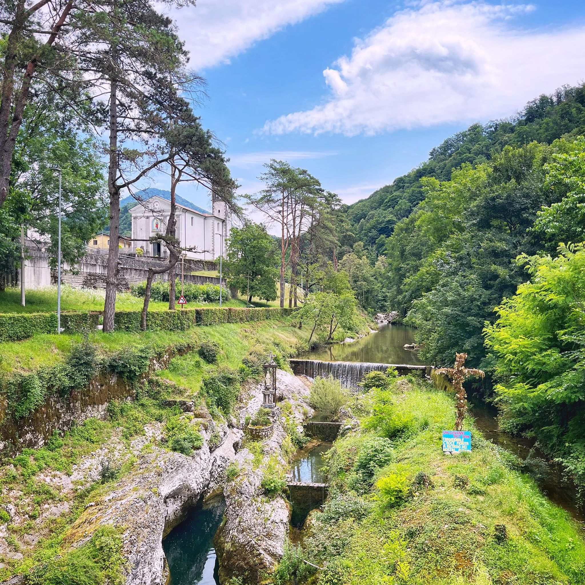
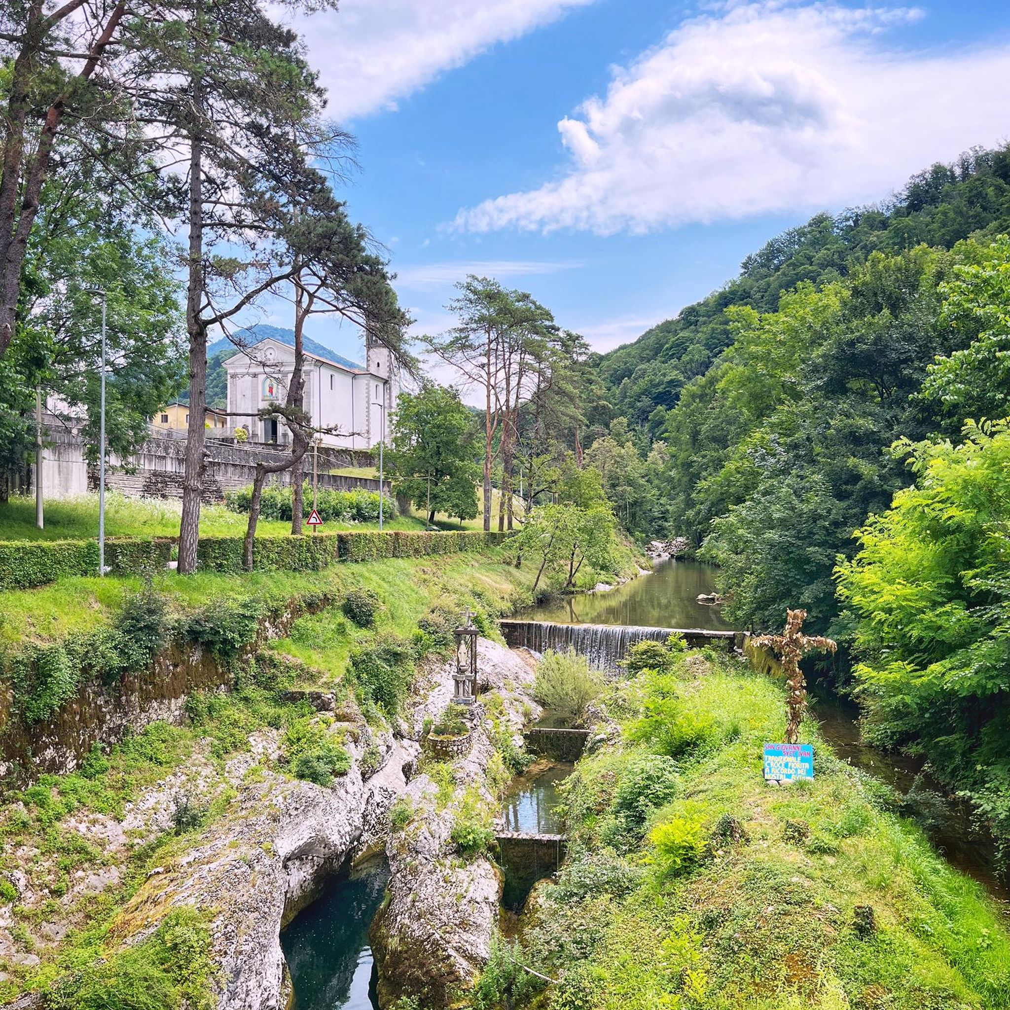
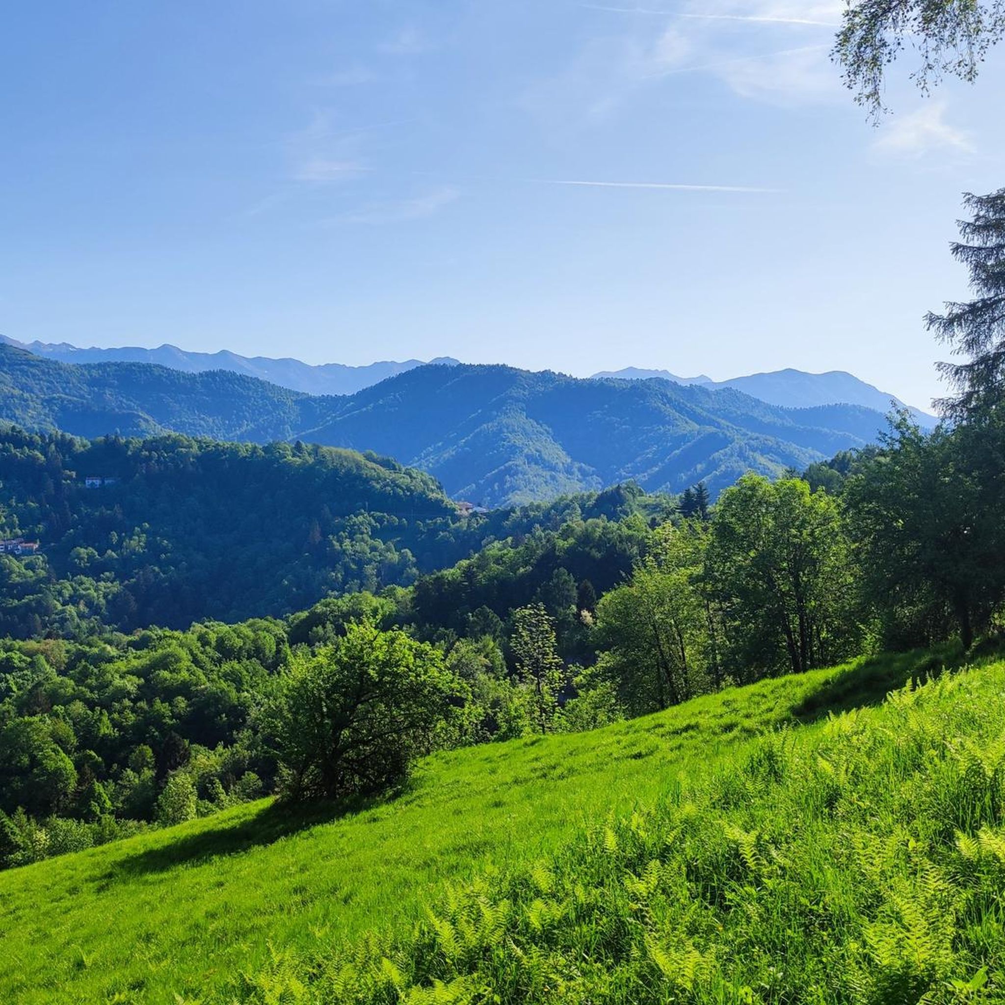
Hiking around Grimacco offers diverse landscapes within the Julian Pre-Alps, characterized by varied mountainous terrain, deep valleys, and extensive forests. The region features prominent natural landmarks such as the Kolovrat massif, Mount San Martino, and Mount Cum, providing a range of challenges and scenic vistas. Trails often traverse ancient chestnut groves, lonely meadows, and follow historic military roads, reflecting both natural beauty and cultural heritage. The Cosizza valley and other Slavic-influenced valleys add a unique dimension to the area's topography.
…Last updated: October 10, 2026
4.1
(9)
51
hikers
16.4km
05:09
630m
640m
Hard hike. Very good fitness required. Easily-accessible paths. Suitable for all skill levels.
4.4
(11)
22
hikers
6.91km
02:14
310m
310m
Moderate hike. Good fitness required. Easily-accessible paths. Suitable for all skill levels.

5.0
(5)
28
hikers
15.3km
04:43
540m
540m
Moderate hike. Good fitness required. Easily-accessible paths. Suitable for all skill levels.
4.5
(10)
43
hikers
Hard hike. Very good fitness required. Easily-accessible paths. Suitable for all skill levels.
5.0
(3)
19
hikers
10.5km
04:10
780m
780m
Moderate hike. Good fitness required. Easily-accessible paths. Suitable for all skill levels.
Get access to more routes and recommendations from other explorers.
Already have an account?
Our route recommendations are based on thousands of hikes, rides, and runs completed by other people on komoot.
Start today with a free account
Your next adventure awaits.


Tips from the Community

Nice bivy open for the one in need. Slept a night on my bikepacking journey through the area.
0
0

Great accommodation with 4 sleeping possibilities
0
0

The bivouac is named after the fallen Italian soldier Giuseppe Zanuso. It is located in a sheltered bend directly on the trail. From here, a short climb through meadows leads to a small peak directly on the SLO/ITA border line with its boundary marker, from where you can enjoy a beautiful view of Slovenia and Italy.
0
0

https://www.komoot.com/it-it/tour/734591563 A historical and naturalistic hike along the eastern ridge of the Kolovrat massif, on the Italian-Slovenian border, the site of battles during the Great War. This itinerary offers an easy but rewarding hike across the three eastern peaks of the natural border between Italy and Slovenia, the Kolovrat ridge, which dominates the valley between Kobarid and Tolmin.
1
0
The entire Kolovrat Ridge was a theater of World War I. At 1,115 meters above sea level, the "Third Italian Defense Line" was established, which played a key role during the Battle of the Isonzo. Many of the paths and positions have been restored to their original condition, so that the trenches, positions, and fortifications now form a free, accessible open-air museum for everyone. The open-air museum also features a small hill serving as a viewing platform. From here, breathtaking views of the valley to Tolmin and the Soca River, as well as the surrounding mountains, are offered.
0
0
The entire Kolovrat Ridge was a theater of World War I. At 1,115 meters above sea level, the "Third Italian Defense Line" was established, which played a key role during the Battle of the Isonzo. Many of the paths and positions have been restored to their original condition, so that the trenches, positions, and fortifications now form a free, accessible open-air museum for everyone. The open-air museum also features a small hill serving as a viewing platform. From here, breathtaking views of the valley to Tolmin and the Soca River, as well as the surrounding mountains, are offered.
0
0
A beautiful historical and naturalistic walk straddling the border between Italy and Slovenia, the scene of epic battles of the Great War.
0
0
Frequently Asked Questions
How many hiking trails are there in Grimacco?
Grimacco offers a network of over 10 hiking trails, providing diverse options for exploring the Julian Pre-Alps. These routes range from easy paths to more challenging ascents, catering to various fitness levels.
What are the typical difficulty levels for hiking trails in Grimacco?
Grimacco's trails cater to various fitness levels. The area features 1 easy route, 9 moderate routes, and 2 difficult routes. You can find options from gentle walks through valleys to more demanding hikes ascending ridges and peaks within the Julian Pre-Alps.
Are there any family-friendly hiking options in Grimacco?
Yes, Grimacco offers trails suitable for families. While specific 'easy' routes are available, many of the moderate trails can also be enjoyed by families with some hiking experience. The region's diverse landscapes, including forests and meadows, provide engaging environments for younger hikers.
Can I bring my dog on the hiking trails in Grimacco?
Generally, dogs are welcome on hiking trails in Grimacco. However, it's always advisable to keep your dog on a leash, especially in areas with wildlife or near livestock. Be mindful of local regulations and ensure your dog is well-behaved and doesn't disturb other hikers or the natural environment.
What kind of natural features or landmarks can I expect to see while hiking in Grimacco?
Grimacco's hikes offer a blend of natural beauty and historical significance. You can expect to see the varied mountainous terrain of the Julian Pre-Alps, including the Kolovrat massif, Mount San Martino, and Mount Cum. Trails often wind through ancient chestnut trees, lonely meadows, and deep forests. Additionally, you might encounter historical sites like WWI trenches and tunnels, and charming villages with unique architecture.
Are there any circular hiking routes in Grimacco?
Yes, Grimacco features several circular hiking routes. For instance, the Rifugio Casoni Solarie – Kolovrat Open-Air Museum loop from Rucchin / Zaločilo is a popular moderate circular trail that takes you through the Kolovrat massif. Another option is the Brieza Pass – Monte San Martino loop from Grimacco, offering scenic views.
What is the best time of year to go hiking in Grimacco?
The best time to hike in Grimacco is typically from spring to autumn. During these seasons, the weather is generally pleasant, and the trails are more accessible. Spring brings blooming flora, while autumn offers vibrant colors. Winter hiking is possible but may require specialized gear due to snow and ice, especially at higher elevations.
Are there any historical trails or sites to explore in Grimacco?
Grimacco is rich in history, particularly related to World War I. Many trails follow historic military roads, offering insights into the region's past. For example, the Historic military road to Tribil Superiore and the Sentiero Hum feature WWI trenches and tunnels. The Kolovrat massif also hosts an Open-Air Museum, accessible via routes like the Rifugio Casoni Solarie – Kolovrat Open-Air Museum loop.
What are some notable attractions or points of interest near Grimacco's hiking trails?
Beyond the trails themselves, Grimacco's surroundings offer interesting attractions. You can explore mountain passes like Bocchetta di Masarolis or visit historical sites such as the Monument to Richard Just. The region also features fascinating caves, including Duga Baba and Zadlaška Cave and the San Giovanni d'Antro Cave and Church, which can be explored as part of a wider adventure.
What do other hikers enjoy most about hiking in Grimacco?
The hiking experience in Grimacco is highly rated by the komoot community, with an average score of 4.5 stars from over 3,600 reviews. Hikers often praise the diverse landscapes, the blend of natural beauty with historical sites, and the variety of trails suitable for different skill levels. The panoramic views from the Julian Pre-Alps and the peaceful atmosphere of the forests and meadows are frequently highlighted.
Is public transport available to access hiking trailheads in Grimacco?
Public transport options to specific trailheads within Grimacco can be limited. While some regional bus services might connect larger villages, accessing more remote starting points often requires a car. It's recommended to check local bus schedules in advance or consider driving to trailheads where parking is available.
Are there places to eat or stay near the hiking trails in Grimacco?
Grimacco and its surrounding villages offer some options for dining and accommodation. You might find local trattorias or agriturismos that provide traditional cuisine. For longer hikes, mountain huts like Rifugio Casoni Solarie can serve as a resting point. For a wider selection of restaurants and accommodation, exploring nearby towns might be beneficial.
Most popular routes around Grimacco
Most popular attractions around Grimacco

Get inspired with the komoot mobile app


Explore more
Browse the best Hikes in other regions.
