The best road cycling routes around Ruhla
4.4
(569)
4,951
riders
211
rides
Road cycling routes around Ruhla traverse the scenic Thuringian Forest, characterized by rolling hills and dense woodlands. The region features a mix of gentle valleys and more challenging ascents, offering varied terrain for road cyclists. Paved roads wind through picturesque villages and past natural landscapes. This area provides a diverse environment for exploring on two wheels.
Best road cycling routes around Ruhla
- The most popular road cycling route is Restaurant Am Golfplatz – Wutha Fault loop from Wutha, a…
Last updated: October 5, 2026
4.5
(46)
147
riders
32.8km
01:31
240m
240m
Easy road ride. Great for any fitness level. Mostly well-paved surfaces and easy to ride.
4.6
(5)
49
riders
33.8km
01:37
280m
280m
Easy road ride. Great for any fitness level. Mostly well-paved surfaces and easy to ride.

5.0
(1)
20
riders
Moderate road ride. Great for any fitness level. Some segments of this route may be unpaved and difficult to ride.
4.3
(3)
37
riders
43.8km
02:26
620m
620m
Moderate road ride. Good fitness required. Some segments of this route may be unpaved and difficult to ride.
4.2
(10)
39
riders
23.9km
01:05
200m
200m
Easy road ride. Great for any fitness level. Mostly well-paved surfaces and easy to ride.
Get access to more routes and recommendations from other explorers.
Already have an account?
Our route recommendations are based on thousands of hikes, rides, and runs completed by other people on komoot.
Start today with a free account
Your next adventure awaits.
Popular around Ruhla
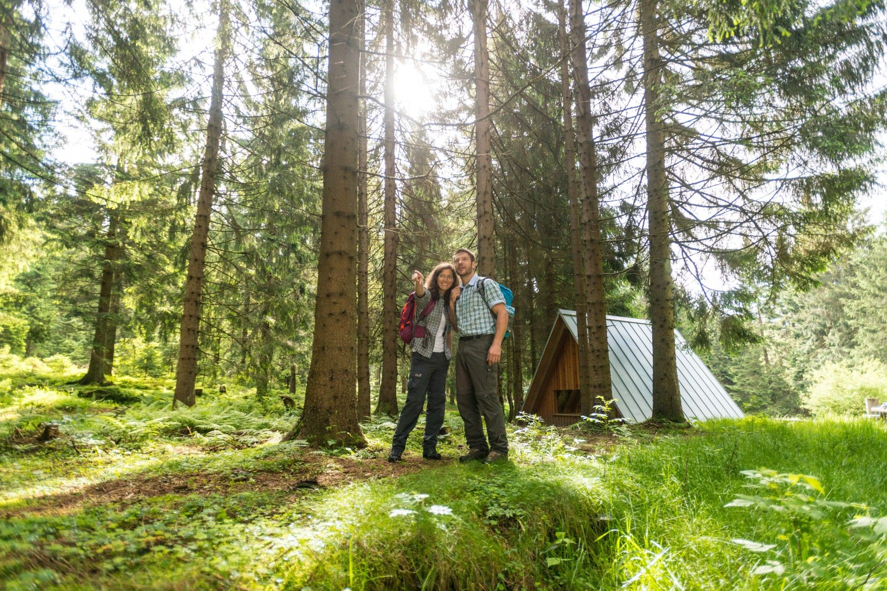
The Rennsteig — Thuringia's most beautiful hiking route

#GoFurther – discover the views of Germany!
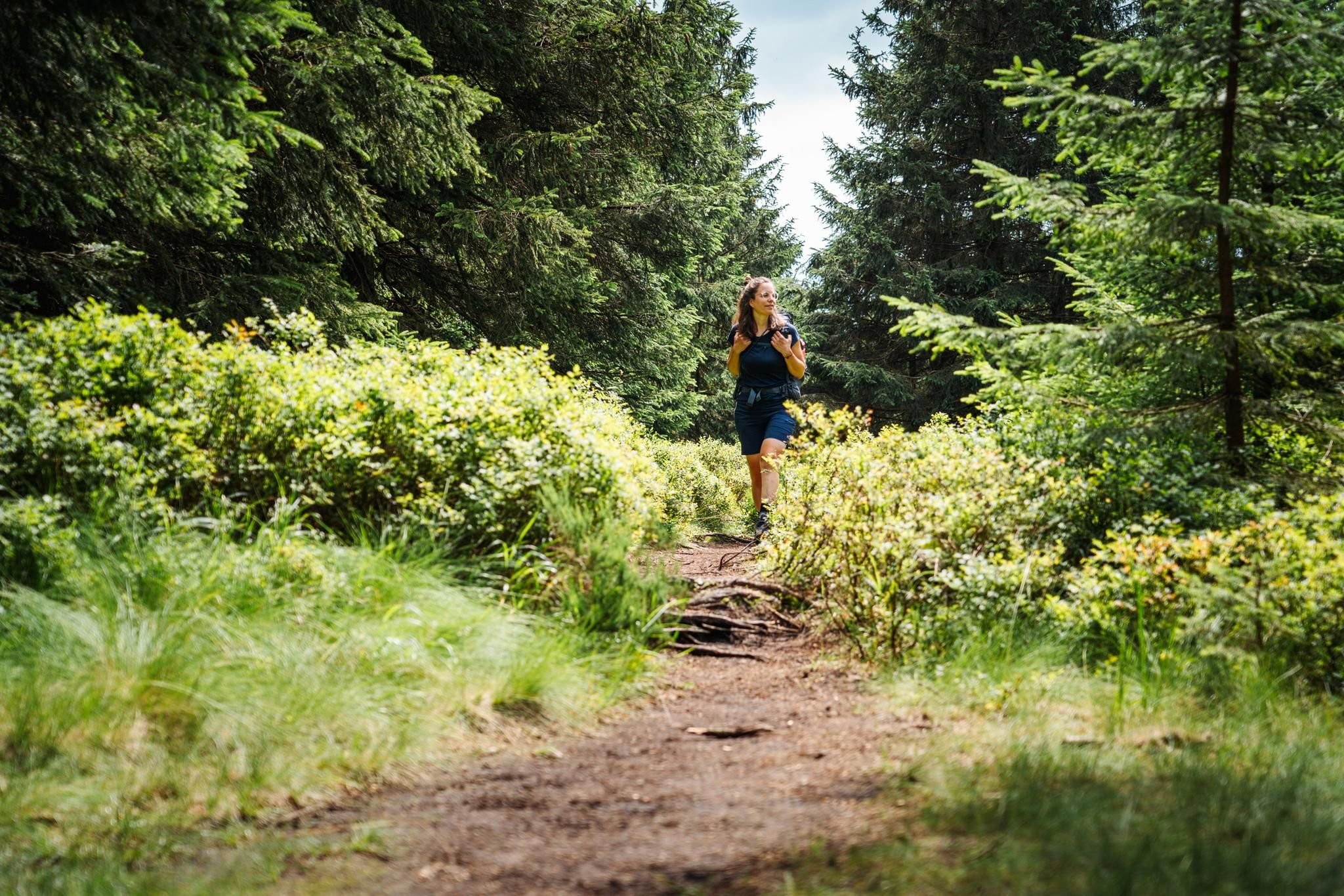
The Thuringian Forest calls – long-distance hiking on the Rennsteig
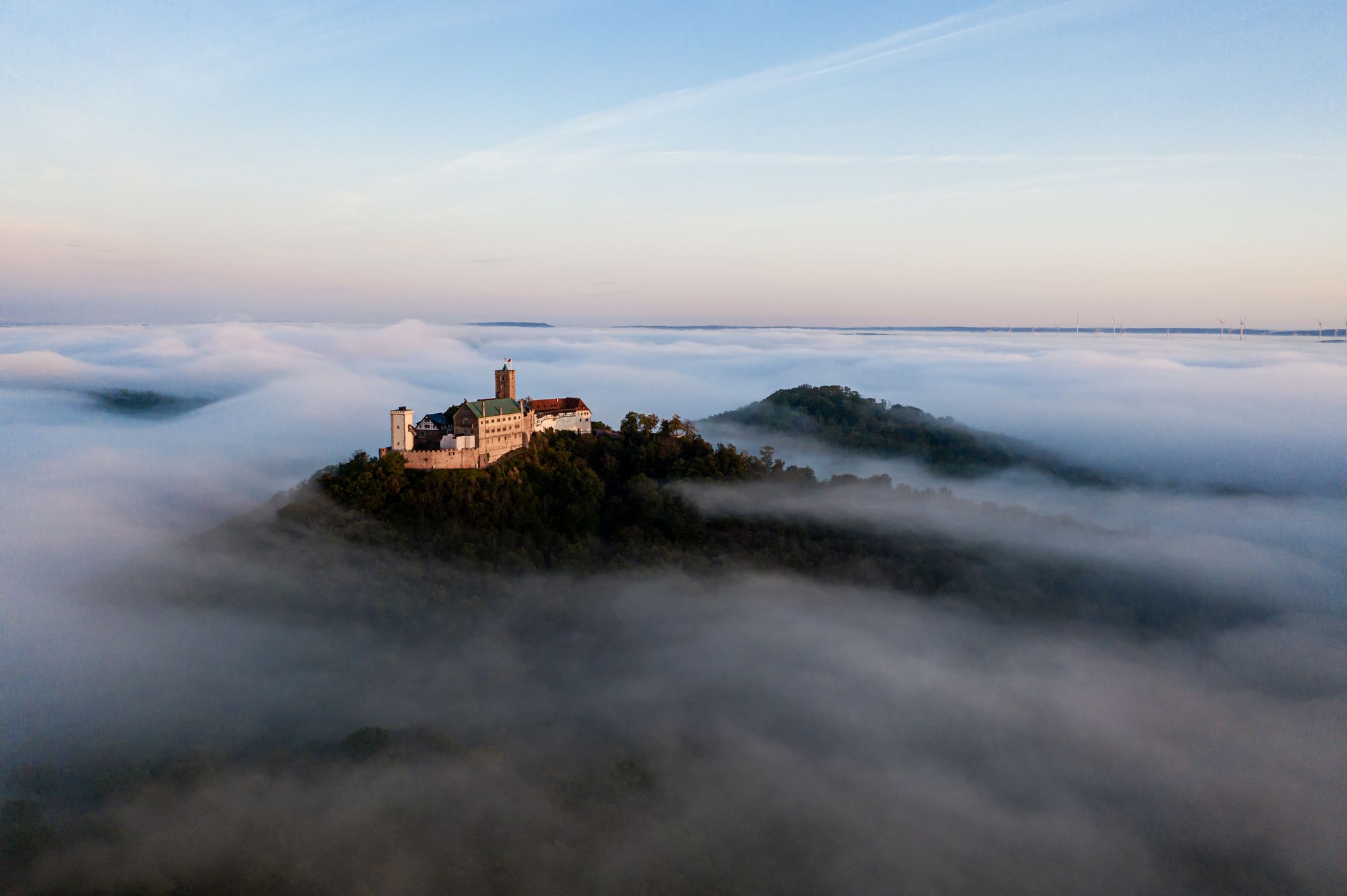
Hike Germany’s green heart

Long distance hiking trails in the Thuringian Forest
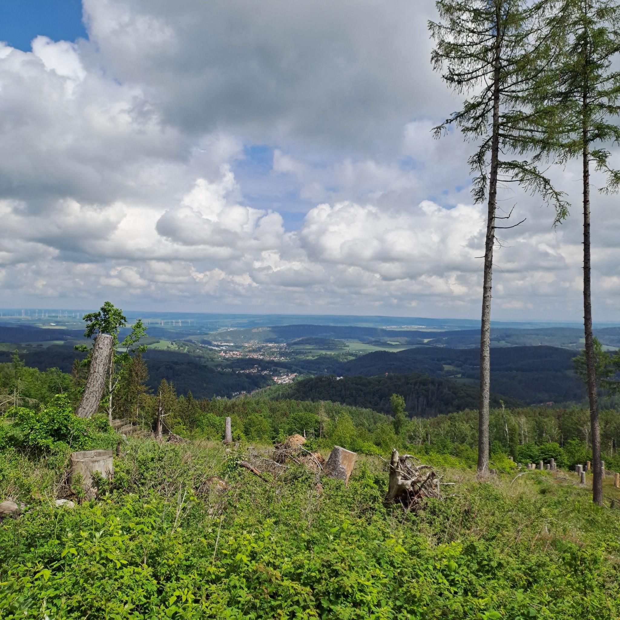
Hiking around Ruhla
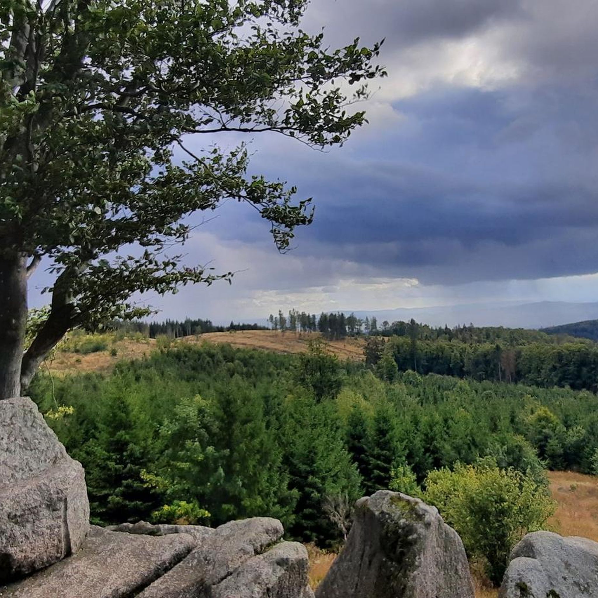
MTB Trails around Ruhla
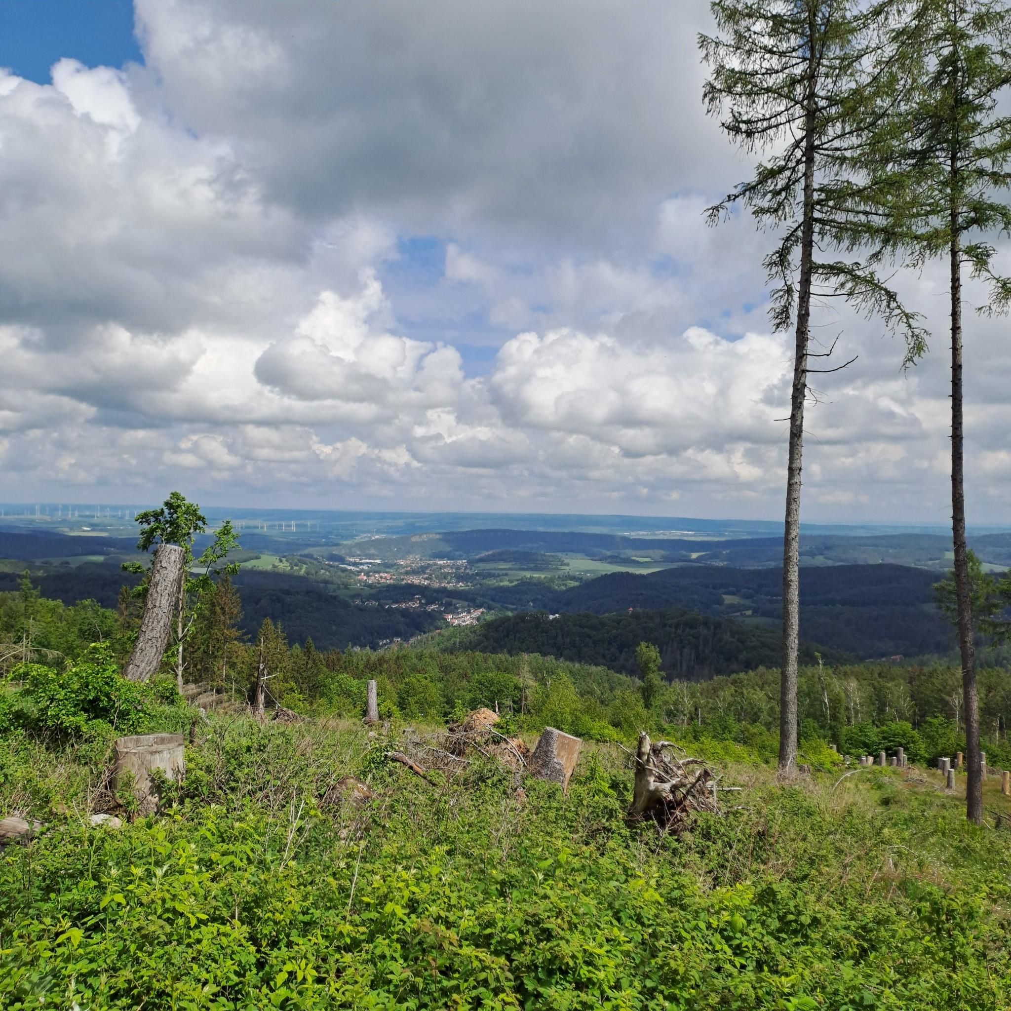
Cycling around Ruhla
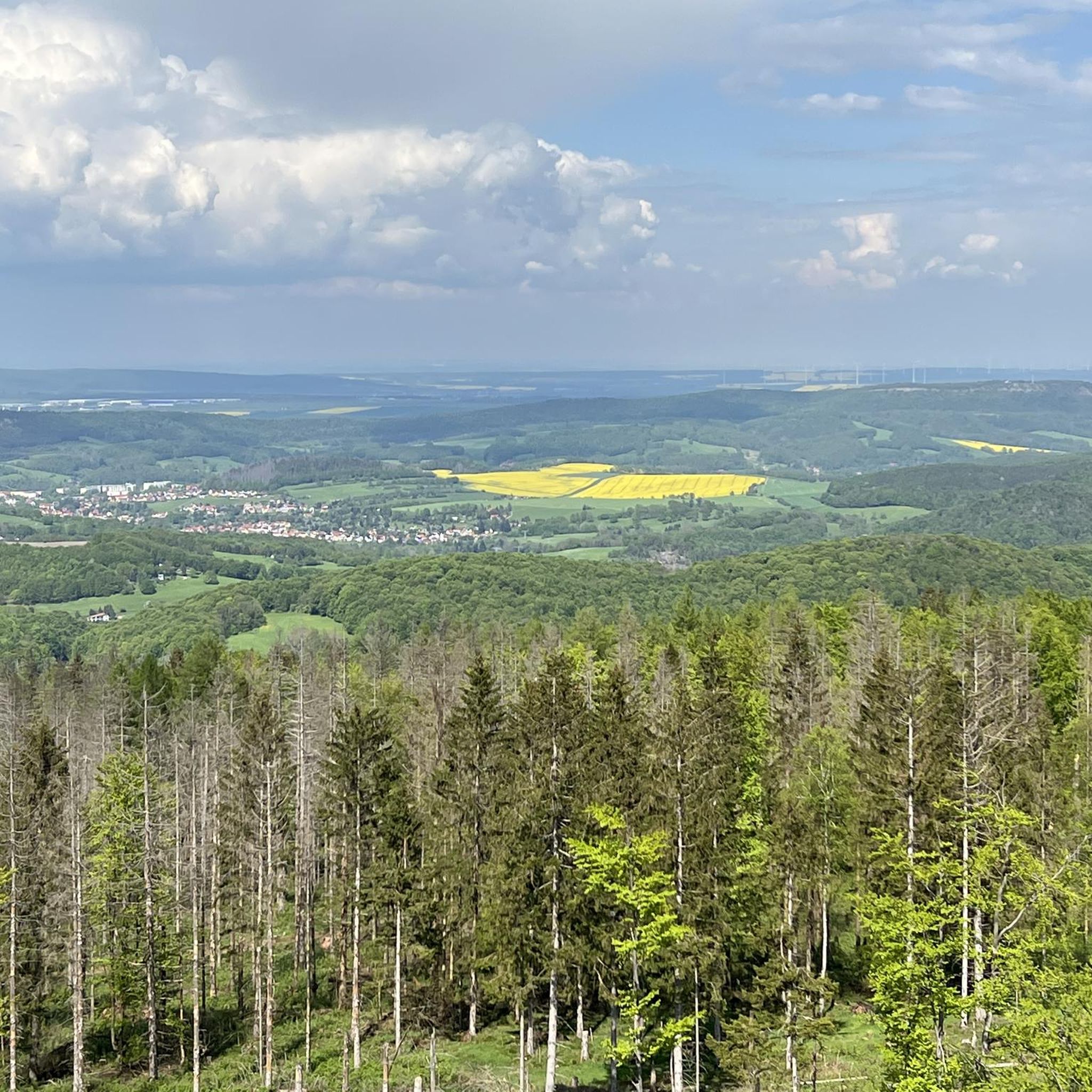
Running Trails around Ruhla
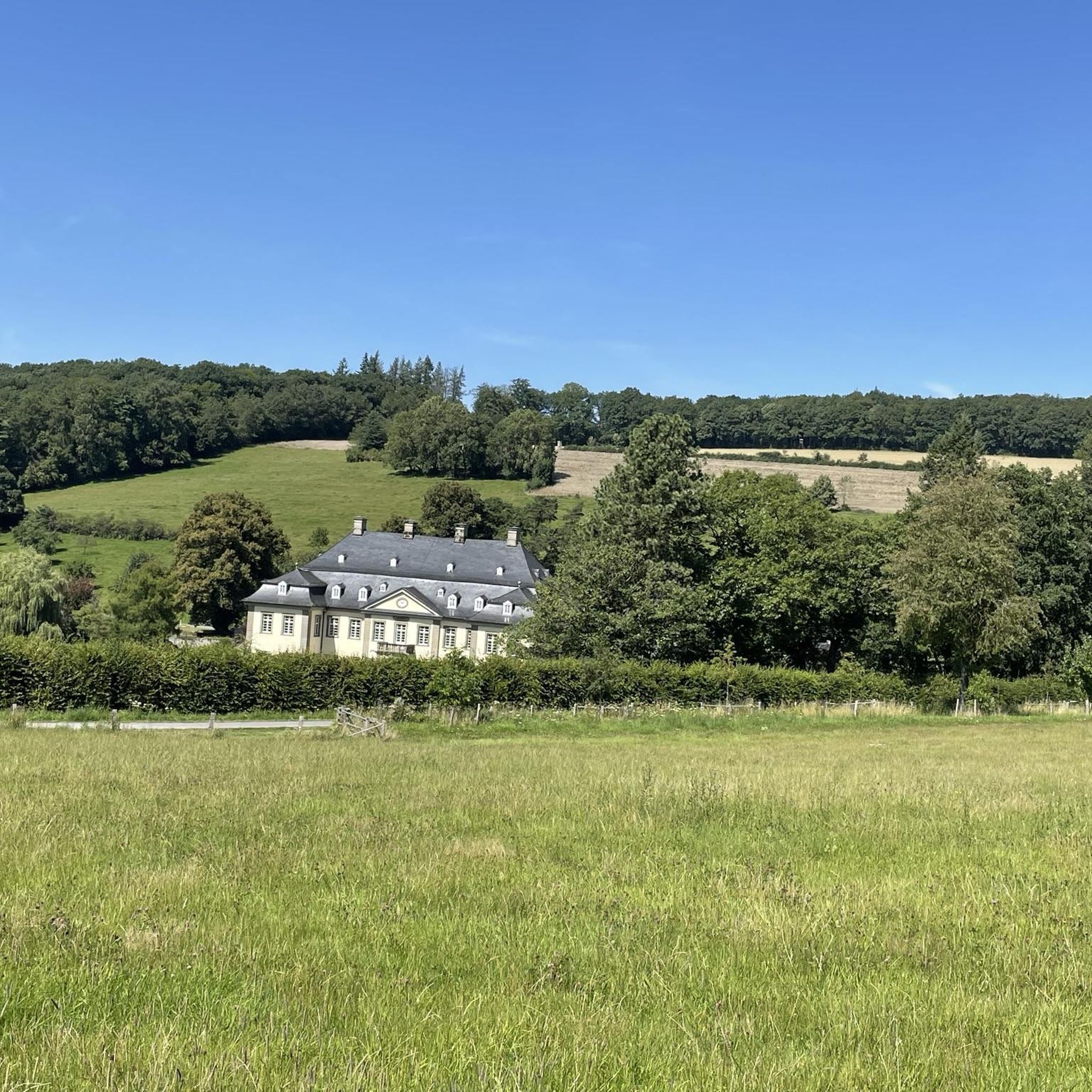
Gravel biking around Ruhla
Other adventures around Ruhla


Tips from the Community

Former monastery church - Eisenacher Str. 29 ..nothing more is left of the Kloster Allendorf was a Cistercian nunnery founded after 1265 in the area of the town of Bad Salzungen in the Wartburg district (Thuringia). The convent converted to the Benedictine order at the beginning of the 16th century and was dissolved in the course of the introduction of the Reformation after 1525. Only the church remained of the convent buildings; it was deconsecrated and converted, and served as a residential building until the 1980s. Due to a lack of structural maintenance, it is now a ruin threatened with collapse. The nave of the former monastery is still used and managed as a residential building today. 📜wikipedia
0
0

Very beautiful and lovingly designed house wall paintings.
0
0

The Waldgasthaus Ruhlaer Skihütte is a popular, traditional excursion inn and restaurant on the ridge of the Thuringian Forest. It is located at an altitude of 660.4 meters on the state road L1027 near Ruhla (belonging to Waltershausen OT Winterstein).
7
0
Weir of the millstream directly on the Werratal cycle path near Kloster
0
0

Beware of rockfall, but it's very beautiful to look at.
1
0

Playful describes it quite well, I love that sort of thing.😎👌
5
0
The Harz hiking couple Alwin (3) and hiking women Claudi (1) met on the terrace of the Frankenstein. 🤭🤣 and enjoyed the fantastic view.
6
0
Frequently Asked Questions
How many road cycling routes are available around Ruhla?
There are over 200 road cycling routes in the Ruhla region, offering a wide variety of options for different skill levels and preferences. You'll find everything from easy loops to more challenging ascents through the Thuringian Forest.
Are there easy road cycling routes suitable for beginners in Ruhla?
Yes, Ruhla offers several easy routes perfect for beginners or those seeking a relaxed ride. A great option is the Restaurant Am Golfplatz – Wutha Fault loop from Wutha, a pleasant 20.9-mile ride. Another easy choice is the Wutha Fault loop from Seebach.
Where can I find moderate road cycling routes around Ruhla?
For a moderate challenge, consider the Gumpelstadt Village Center – Pond at Grundhof loop from Waldfisch, a 15-mile path featuring rolling terrain and passing by local ponds and villages. Another moderate route is the Alte Ruhl Ski Jump, Ruhla – Snack bar at the Schillerbuche loop from Wutha, which includes more significant climbs.
What kind of terrain can I expect on road cycling routes in Ruhla?
Road cycling routes around Ruhla traverse the scenic Thuringian Forest, characterized by rolling hills and dense woodlands. You'll encounter a mix of gentle valleys and more challenging ascents, with paved roads winding through picturesque villages and natural landscapes.
What do other road cyclists enjoy most about the routes in Ruhla?
The routes in Ruhla are highly rated by the komoot community, with an average score of 4.5 stars from over 500 reviews. Cyclists often praise the varied terrain, the beautiful forested hills, and the scenic valleys that define the region.
Are there any circular road cycling routes available from Ruhla?
Yes, many of the road cycling routes around Ruhla are designed as loops, allowing you to start and end in the same location. Examples include the Roadbike loop from Seebach, which takes you through forested hills and open countryside.
What are some scenic viewpoints or landmarks I can see along the road cycling routes?
The region offers several scenic spots. You might encounter highlights like the Great Drachenstein Oak and Viewpoint, offering expansive views. The routes also pass by historical sites such as Wartburg Castle, a UNESCO World Heritage site, and natural wonders like the Dragon Gorge.
Are there places to stop for refreshments or food along the routes?
Yes, you'll find opportunities for refreshment. For example, the Alte Ruhl Ski Jump, Ruhla – Snack bar at the Schillerbuche loop from Wutha route mentions a snack bar. Other options include the Sängerwiese Forest House or the Berggasthof Hörselberghaus, which are popular stops in the wider region.
What is the best time of year for road cycling in Ruhla?
The best time for road cycling in Ruhla is typically from spring through autumn (April to October). During these months, the weather is generally mild, and the Thuringian Forest is at its most vibrant, offering pleasant conditions for riding.
Are there any longer distance road cycling tours available from Ruhla?
While many routes are loops, you can combine routes or explore longer sections of the Thuringian Forest. The region's network allows for extended rides, connecting Ruhla to nearby towns like Eisenach, offering varied distances for longer tours.
What are the general elevation changes like on Ruhla's road cycling routes?
Ruhla's road cycling routes feature varied elevation changes, reflecting the region's rolling hills. Easy routes might have around 200-300 meters of elevation gain, while moderate routes can involve climbs of 250-600 meters or more, providing a good workout through the forested landscape.
Most popular routes around Ruhla
Most popular attractions around Ruhla

Get inspired with the komoot mobile app


Explore more
Browse the best Road cycling routes in other regions.
