The best road cycling routes around Gemona Del Friuli
4.5
(638)
15,663
riders
53
rides
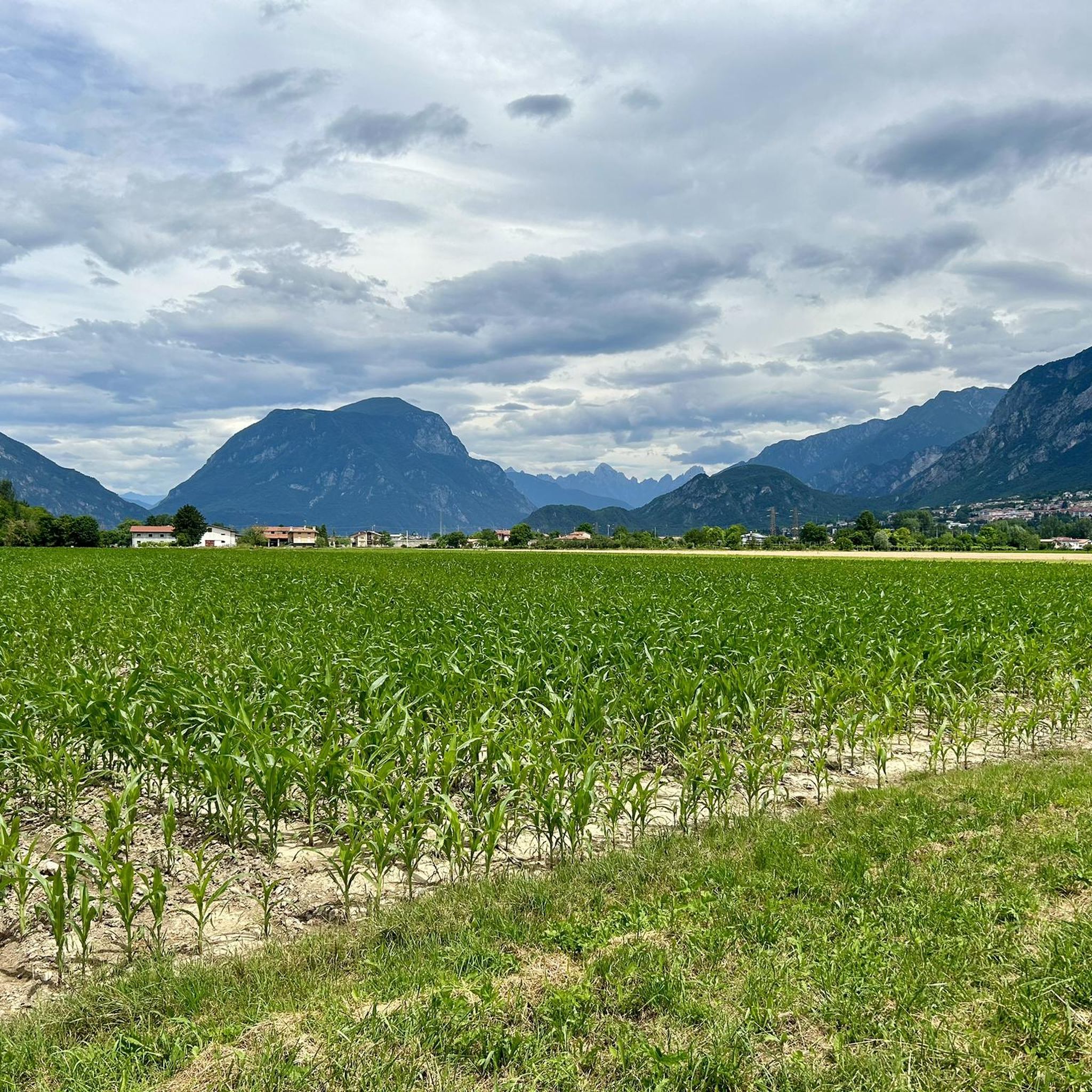
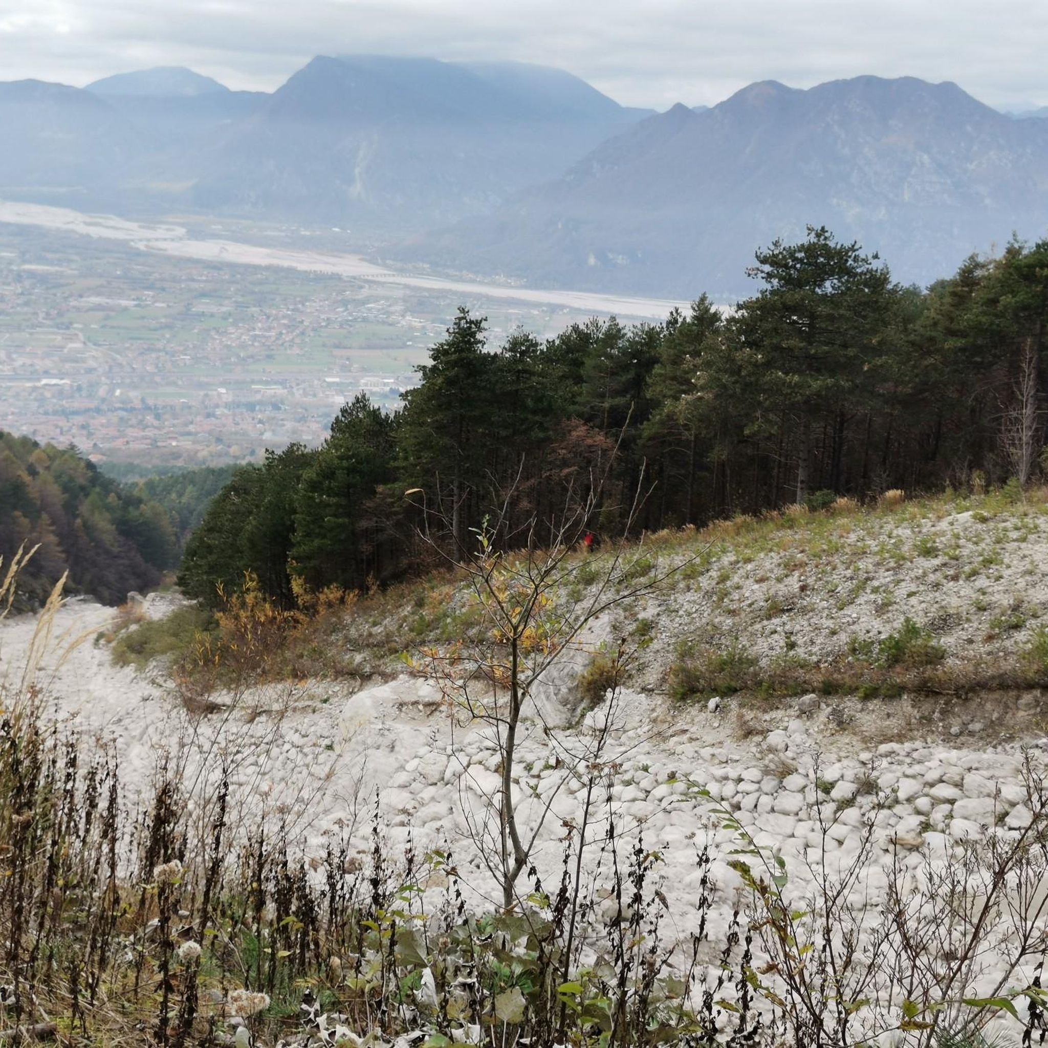
Road cycling around Gemona Del Friuli is characterized by its position at the foothills of the Julian Alps, offering a diverse terrain for cyclists. The region features a mix of river valleys, such as the Tagliamento, and ascents into the Prealpi Giulie Natural Park. Cyclists can expect routes that traverse both flatter sections and challenging mountain passes. The landscape includes forested areas, open agricultural lands, and views of natural lakes.
Best road cycling routes around Gemona Del Friuli
- The most…
Last updated: October 24, 2026
4.5
(4)
150
riders
125km
07:01
2,740m
2,740m
Hard road ride. Very good fitness required. Mostly well-paved surfaces and easy to ride.
4.3
(30)
352
riders
Moderate road ride. Good fitness required. Mostly well-paved surfaces and easy to ride.

4.3
(11)
257
riders
Moderate road ride. Good fitness required. Some segments of this route may be unpaved and difficult to ride.
5.0
(4)
110
riders
103km
05:51
2,270m
2,270m
Hard road ride. Very good fitness required. Mostly well-paved surfaces and easy to ride.
4.3
(7)
117
riders
38.3km
02:14
830m
830m
Moderate road ride. Good fitness required. Mostly well-paved surfaces and easy to ride.
Get access to more routes and recommendations from other explorers.
Already have an account?
Our route recommendations are based on thousands of hikes, rides, and runs completed by other people on komoot.
Start today with a free account
Your next adventure awaits.
Popular around Gemona Del Friuli



Tips from the Community

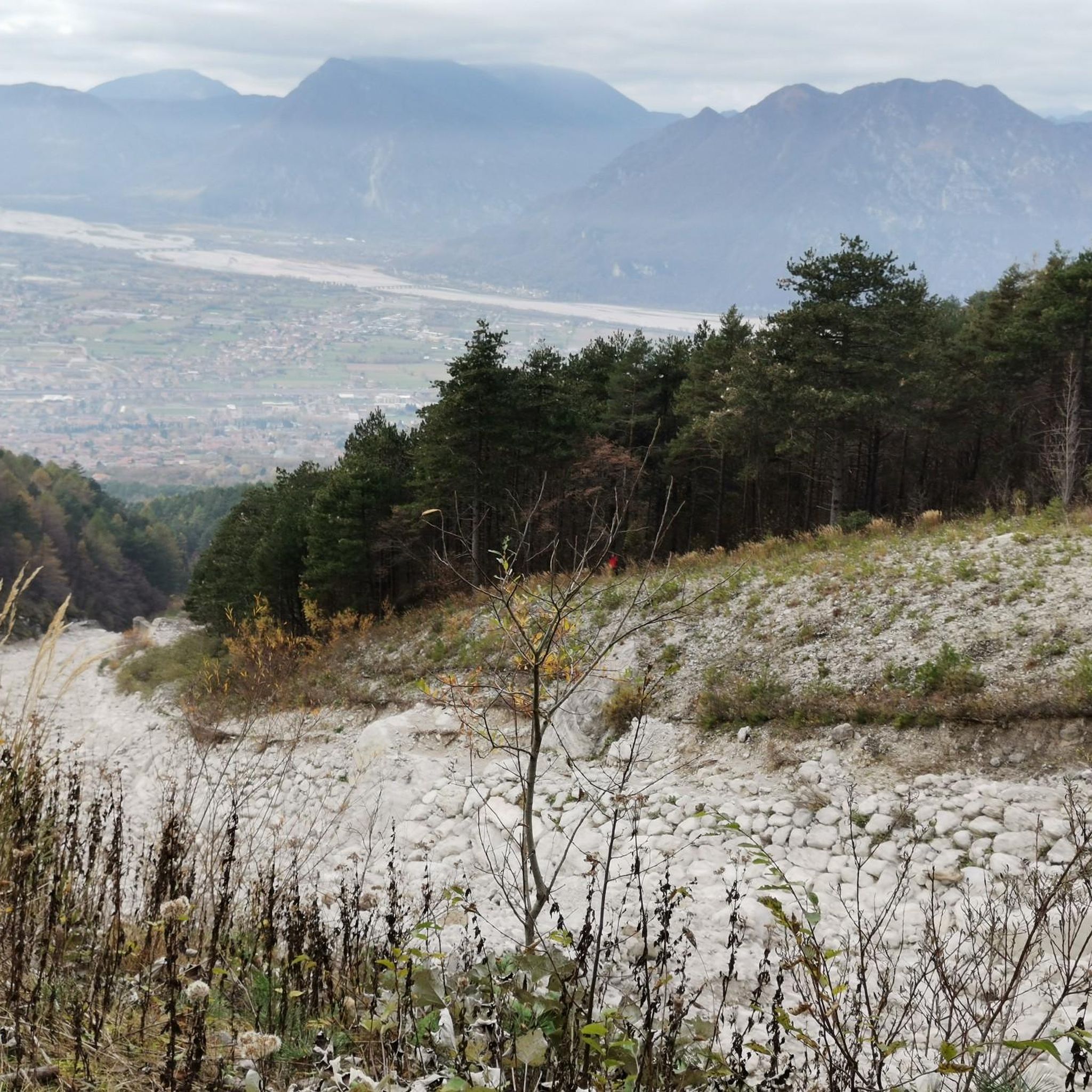
• Riding along the FVG 6 trail, you move along one of the most important defensive lines of the Cold War. Along the river, the Italians built hundreds of bunkers hidden in bushes and rocks, which were part of the top-secret Sbarramento arretrato system. The task of these hidden machine-gun nests and armored positions was to turn the wide riverbed into a death zone in the event of an invasion by Warsaw Pact troops. You pass many of these concrete entrances just a few meters from your handlebars.
1
0

Quiet, mostly shady road without much traffic.
0
0

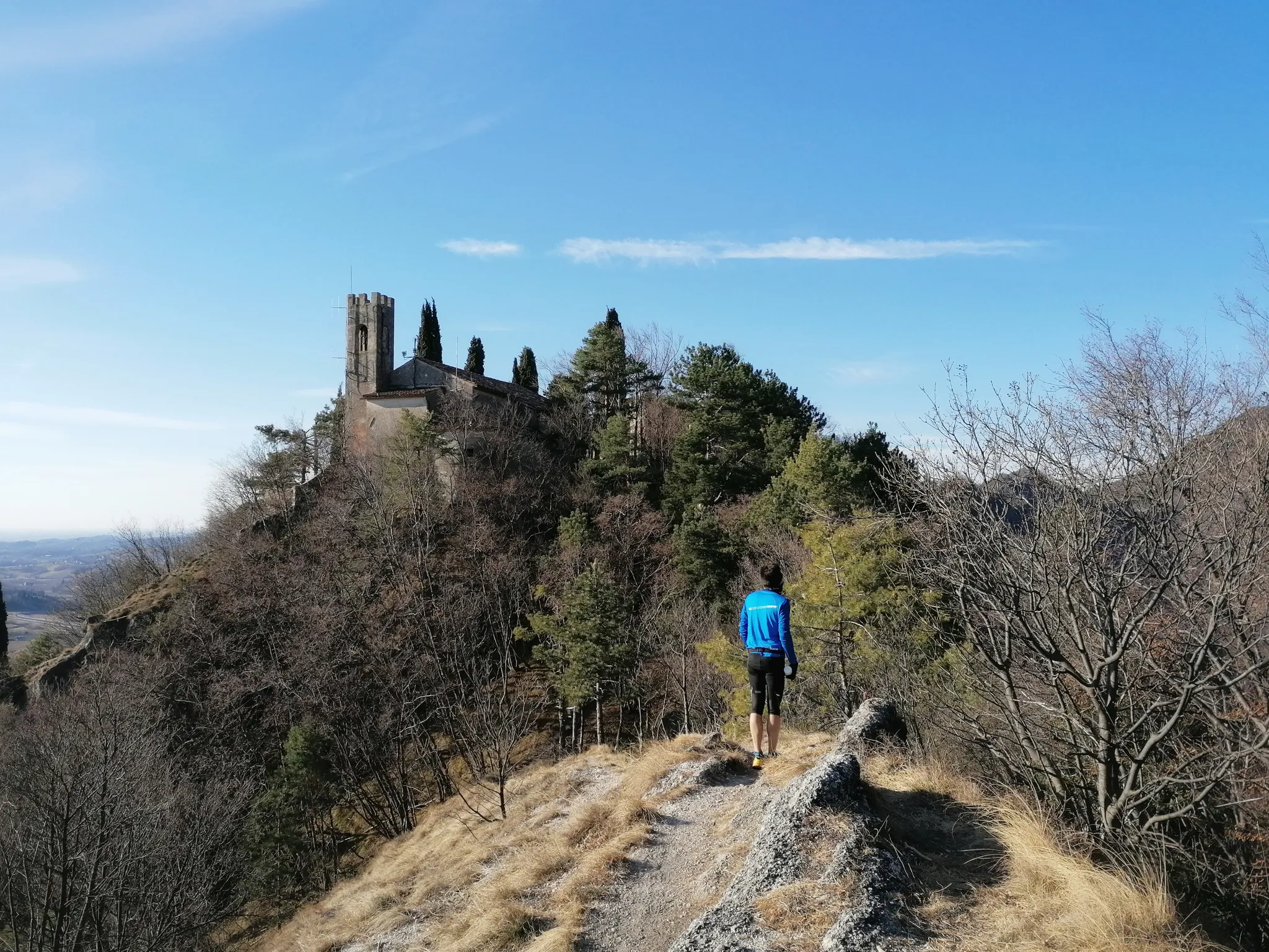
In the 13th century, the lords of Artegna began the construction of a building on the Colle di San Martino, expanding and transforming existing structures. This new complex, of which the central load-bearing wall and the tower, improperly called "Lombard", are the oldest parts, became the residential seat of the lords of Artegna probably in the second half of the 13th century, after the destruction of the ancient manor by the Gemonese troops. It remained the property of this family until 1384, the year in which the last male descendant of the main branch of the family died. The so-called "castelletto" then passed by female inheritance to the Savorgnano family. https://www.ecomuseodelleacque.it/collezione-ecomuseale/siti-storico-archeologici/artegna-castello-savorgnan/
0
0

🏘️ Kobarid (Karfreit / Caporetto) Small town with around 1,000 inhabitants at the confluence of the Soča and Nadiža rivers, framed by Krn, Stol and Matajur. It became world-famous in 1917 due to the 12th Battle of the Isonzo, the "Breakthrough at Karfreit", which Hemingway immortalized in "A Farewell to Arms". Between the World Wars, Kobarid belonged to Italy, and since 1947 to Slovenia. Today, the town thrives on hikers, whitewater sports, and amazing gastronomy – with Hiša Franko, it boasts a world-class restaurant. ▫️ Kobariški muzej (Kobarid Museum) on World War I – European Museum of the Year 1993, also worthwhile in the rain ▫️ Italian Ossuary with the Church of St. Anthony on the hill above the town ▫️ Napoleon Bridge over the Soča on the outskirts of the town, starting point for the Kozjak waterfall ▫️ Kobarid Historical Trail: 5 km circular route to front lines, bridge, and waterfall ▫️ Good parking facilities on the outskirts of the town; it is narrow in the center
0
0

Going down is always a pleasure, even if it really puts the brakes to the test. Have fun on the ascent.
2
0
Managed with luggage, even if it was just the cable car. Dream pass and great descent.
2
0
Brilliant Alpe-Adria FVG1 railway cycle path with tunnel and bridges.
1
0

On the connecting road between Villa Santina and Villa, there are some clearings that offer fantastic views of the Tagliamento, Villa Santina, and the mountains to the northeast.
0
0
Frequently Asked Questions
How many road cycling routes are available around Gemona Del Friuli?
There are over 50 road cycling routes around Gemona Del Friuli, offering a wide range of options for different skill levels and preferences. The region's diverse terrain, from river valleys to mountain passes, ensures a varied cycling experience.
Are there easy road cycling routes suitable for beginners in Gemona Del Friuli?
Yes, Gemona Del Friuli offers several easier road cycling routes. While many routes involve significant elevation, there are at least 4 routes categorized as easy, and 28 as moderate, providing options for those new to road cycling or looking for a less strenuous ride. These often follow flatter sections along river valleys.
What are some challenging road cycling routes for experienced riders in the area?
For experienced riders seeking a challenge, Gemona Del Friuli provides numerous difficult routes, with 24 routes falling into this category. An example is the From Gemona to Caporetto - loop in the Prealpi Giulie Natural Park, which covers 77.5 miles (124.8 km) with significant elevation gain through mountainous terrain.
Are there circular road cycling routes around Gemona Del Friuli?
Yes, many road cycling routes in the region are designed as loops, allowing you to start and finish in the same location. For instance, the View of Lake Cavazzo – Venzone Earthquake Ruins loop from Gemona del Friuli is a popular moderate circular route offering scenic views and historical insights.
What is the best season for road cycling in Gemona Del Friuli?
The best seasons for road cycling in Gemona Del Friuli are typically spring and autumn. During these times, the weather is generally milder, and the natural landscape is particularly beautiful. Summer can also be suitable, especially for routes that offer shade or higher elevations, but be mindful of warmer temperatures in the valleys.
What kind of scenery can I expect on road cycling routes in Gemona Del Friuli?
Road cycling in Gemona Del Friuli offers diverse scenery, from the river valleys of the Tagliamento to ascents into the Prealpi Giulie Natural Park. You'll encounter forested areas, open agricultural lands, and views of natural lakes like Lake Cavazzo. The routes often combine natural beauty with glimpses of historical significance.
Are there any notable landmarks or attractions to see along the road cycling routes?
Yes, several routes pass by interesting landmarks. For example, the View of Lake Cavazzo – Venzone Earthquake Ruins loop from Gemona del Friuli offers views of Lake Cavazzo and passes through areas with historical significance related to the Venzone earthquake. You can also find natural attractions like the Acqua Caduta Waterfall or the Crosis Waterfall in the wider region.
What do other road cyclists enjoy most about cycling in Gemona Del Friuli?
The road cycling routes in Gemona Del Friuli are highly rated by the komoot community, with an average score of 4.8 stars from over 90 reviews. Cyclists often praise the diverse terrain, from challenging mountain passes to scenic river valleys, and the well-maintained paths that allow for an immersive experience in the Julian Alps foothills.
Are there long-distance road cycling tours available from Gemona Del Friuli?
Yes, Gemona Del Friuli serves as an excellent starting point for longer road cycling tours. Routes like the Nice quiet road – Sella Cereschiatis loop from Gemona del Friuli, at 72.2 miles (116.2 km), or the Venzone Earthquake Ruins – View of the Tagliamento River loop from Gemona del Friuli, at 65.7 miles (105.7 km), offer significant distances and elevation for those looking for extended rides.
What are the starting points for road cycling routes in Gemona Del Friuli?
Many road cycling routes conveniently start directly from Gemona Del Friuli itself, making it a central hub for exploring the region. Other routes might begin from nearby towns like Artegna, such as the Venzone – Nice quiet road loop from Artegna. It's always best to check the specific route details for the exact starting location.
What are the weather considerations for road cycling in Gemona Del Friuli?
Given its location at the foothills of the Julian Alps, weather in Gemona Del Friuli can be variable. While summers are generally warm, mountain passes can experience cooler temperatures and sudden changes. Always check the forecast before heading out, especially for longer rides or those with significant elevation gain, and be prepared for potential rain or wind.
Most popular routes around Gemona Del Friuli
Most popular attractions around Gemona Del Friuli

Get inspired with the komoot mobile app


Explore more
Browse the best Road cycling routes in other regions.
