The best walks and hikes around Ruderatshofen
4.6
(1729)
7,870
hikers
89
hikes
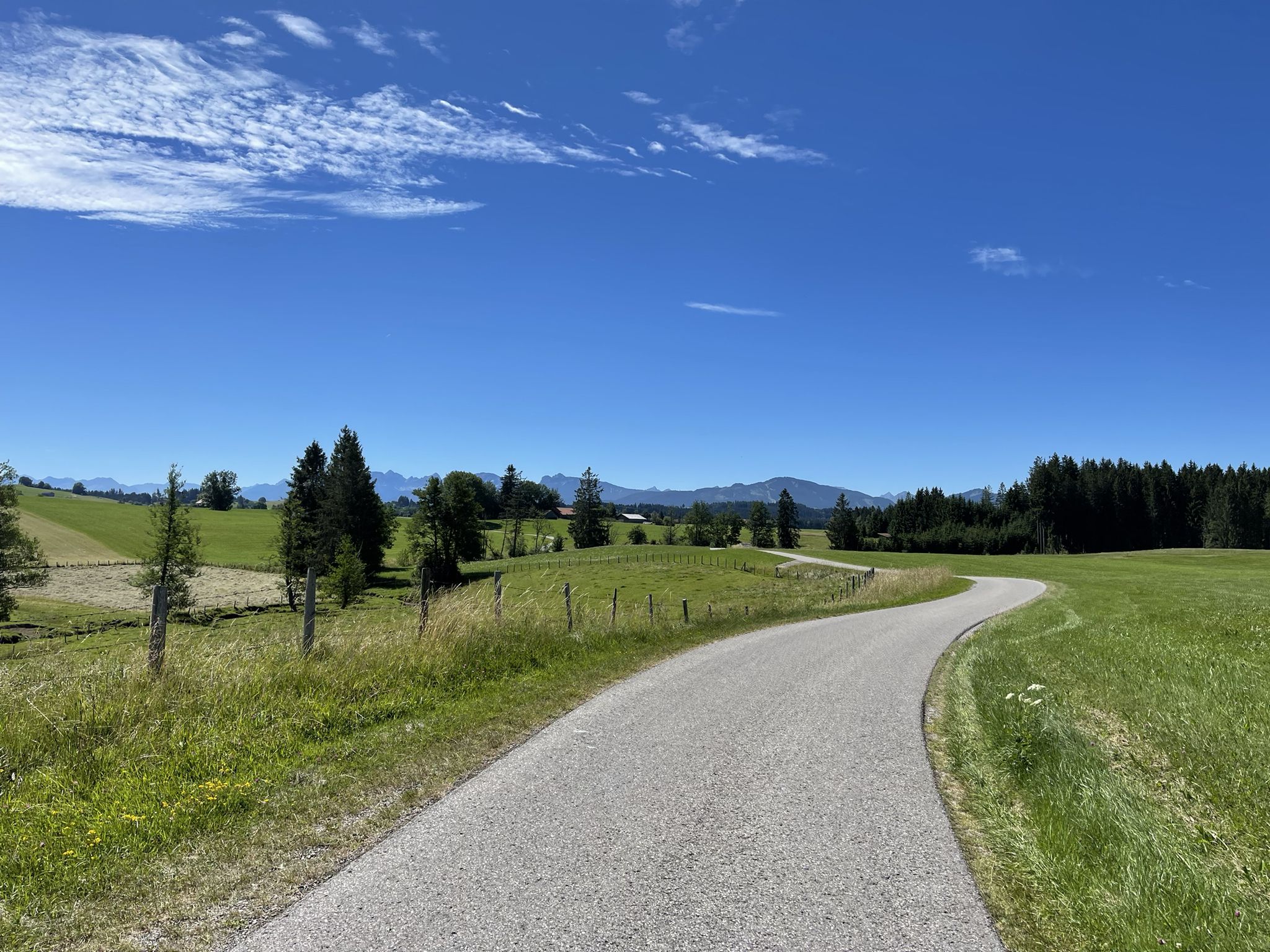
Hiking around Ruderatshofen provides access to a diverse pre-Alpine landscape in Germany's Ostallgäu region. The area features rolling green valleys, the expansive Elbsee moor landscape with boardwalks, and views of the distant Alpine chain. Topography includes the Bavarian Alpine Foreland and the foothills of the Allgäu Alps.
Best hiking trails around Ruderatshofen
- The most popular hiking route is Panoramic Views Over Elbsee – Elbsee Loop loop from Landkreis Ostallgäu, a 4.5 miles (7.3 km) trail that takes 1 hour…
Last updated: July 9, 2026
4.7
(765)
3,304
hikers
Easy hike. Great for any fitness level. Easily-accessible paths. Suitable for all skill levels.
4.7
(540)
2,093
hikers
8.80km
02:17
50m
50m
Moderate hike. Good fitness required. Easily-accessible paths. Suitable for all skill levels.

Sign up for free
4.8
(24)
85
hikers
10.4km
02:52
170m
170m
Moderate hike. Good fitness required. Easily-accessible paths. Suitable for all skill levels.
4.6
(14)
82
hikers
5.06km
01:27
130m
130m
Easy hike. Great for any fitness level. Easily-accessible paths. Suitable for all skill levels.
4.9
(26)
106
hikers
12.7km
03:18
80m
80m
Moderate hike. Good fitness required. Easily-accessible paths. Suitable for all skill levels.
Get access to more routes and recommendations from other explorers.
Sign up for free
Already have an account?
Our route recommendations are based on thousands of hikes, rides, and runs completed by other people on komoot.
Start today with a free account
Your next adventure awaits.
Login or Signup
Other adventures around Ruderatshofen

Tips from the Community

A small weir at Elbsee, located in the moorland area.
0
0

Goat pasture at the Bergmang Alp https://www.bergmang-alpe.de/
0
0

There's a beautiful view here and it's a great place to relax.
0
0
This is either the beginning or the end of the hike. It's definitely impressive and beautiful to look at.
0
0
The circular route around the Elbsee is varied and offers great views of the Alps here and there.
0
0
Beautiful view of the Elbsee lake and the prospect of a break.
0
0
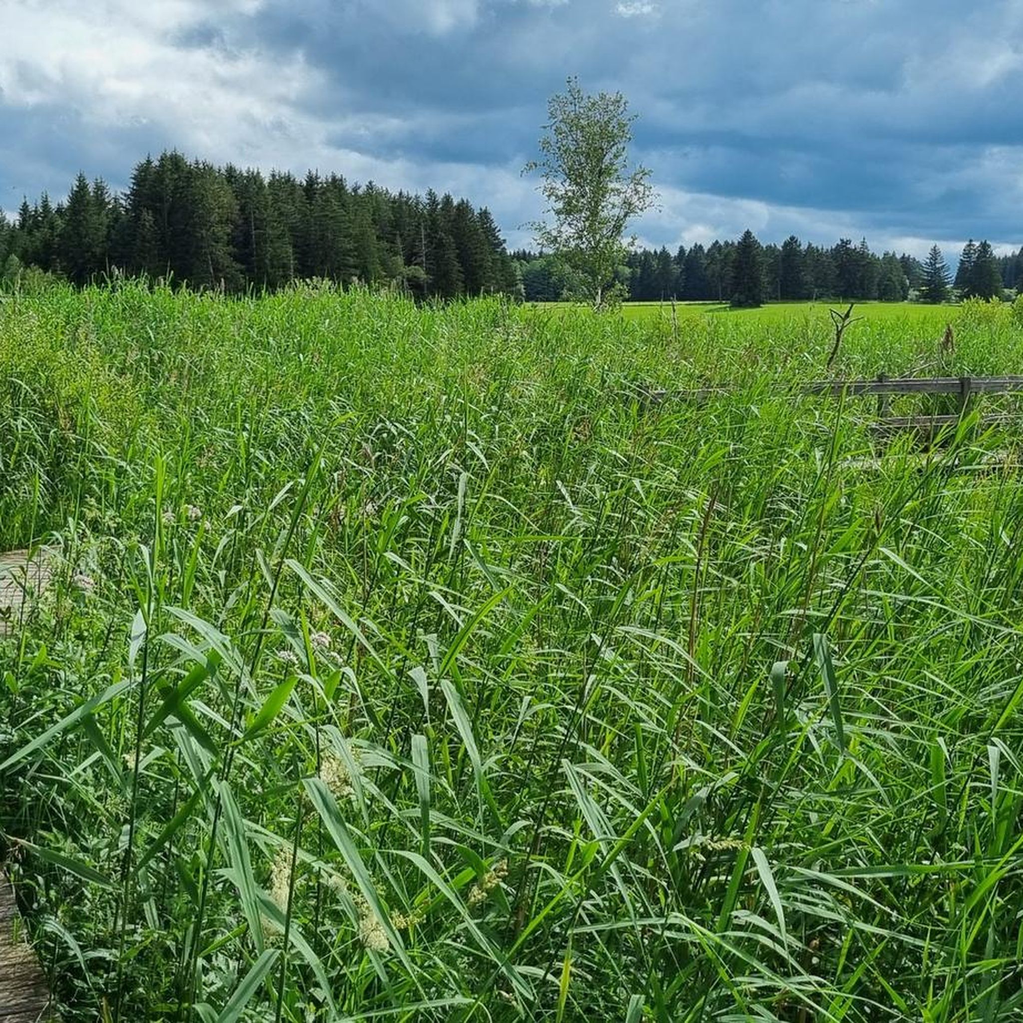
Looking out over the Elbsee through the reeds is truly beautiful from here.
0
0
Wonderful view of the Alps and the Elbsee lake.
0
0
Frequently Asked Questions
How many hiking trails are available around Ruderatshofen?
Ruderatshofen offers a wide selection of hiking opportunities, with over 80 trails documented on komoot. These routes cater to various skill levels, including 43 easy, 35 moderate, and 3 more challenging options, ensuring there's a suitable path for everyone.
Are there easy hiking trails suitable for beginners or families in Ruderatshofen?
Yes, Ruderatshofen is well-suited for easy hikes, with over 40 routes classified as easy. The Panoramic Views Over Elbsee – Elbsee Loop is a great option, offering a gentle 4.5-mile (7.3 km) path through the unique moor landscape, perfect for a relaxed family outing.
What kind of terrain can I expect on hikes around Ruderatshofen?
The region features a diverse pre-Alpine landscape. You'll encounter rolling green valleys, expansive moorlands with boardwalks, and paths leading through the foothills of the Allgäu Alps. Trails often provide panoramic views of the distant Alpine chain, offering varied and scenic terrain.
Are there any circular walks available in Ruderatshofen?
Many of the trails around Ruderatshofen are designed as circular routes, allowing you to start and end at the same point. A popular choice is the Lake Elb – Panoramic Views Over Elbsee loop from Hattenhofen, which offers tranquil lake views and an immersive experience in the moor environment.
What are some scenic viewpoints or natural features to look out for on the trails?
Hikers can enjoy several notable natural features. The Boardwalks through the reed belt at Elbsee offer a unique experience traversing the moor landscape. For breathtaking panoramic views of the Allgäu foothills and the distant Alps, consider a hike to the Bergmang Alp.
Are there any huts or places to stop for refreshments along the hiking routes?
Yes, the region has charming huts that serve as ideal spots for refreshment. The Bergmang Alp is a popular destination, offering rewarding views and a chance for a break. Another option is the Mooshütte, both providing scenic backdrops for a rest.
What do other hikers enjoy most about hiking in Ruderatshofen?
The hiking trails in Ruderatshofen are highly rated by the komoot community, with an average score of 4.6 stars from over 1,500 reviews. Hikers frequently praise the diverse pre-Alpine landscape, the tranquil Elbsee moor, and the panoramic views of the Allgäu Alps, highlighting the variety and beauty of the routes.
Are there any longer, more challenging hikes in the area?
While many routes are easy to moderate, there are options for longer hikes. The View of the Allgäu Alps – Bergmang Alp loop from Landkreis Ostallgäu is a moderate 7-mile (11.3 km) trail with over 170 meters of elevation gain, offering a more extended experience through the Allgäu foothills.
Is Ruderatshofen suitable for winter hiking?
While the guide focuses on general hiking, the pre-Alpine landscape can offer beautiful winter scenery. However, specific winter trail conditions can vary. It's always recommended to check local conditions and weather forecasts before embarking on a winter hike and ensure you have appropriate gear.
Are there any specific attractions or landmarks near Ruderatshofen that can be combined with a hike?
Beyond the trails, you can explore local attractions. The impressive St. Bartholomew's Church in Ruderatshofen village is worth a visit. Slightly further afield, the iconic Neuschwanstein Castle is a short drive away, offering a cultural complement to your outdoor activities.
What is the typical duration for hikes around Ruderatshofen?
Hikes in Ruderatshofen vary in duration depending on the route and your pace. Many popular trails, like the Panoramic Views Over Elbsee – Elbsee Loop, can be completed in under 2 hours. Longer routes, such as the Bergmang Alp – Bergmang Alp loop from Landkreis Ostallgäu, typically take around 3 hours.
Most popular routes around Ruderatshofen
Most popular attractions around Ruderatshofen

Get inspired with the komoot mobile app


Explore more
Browse the best Hikes in other regions.
