The best mountain hikes around Raveo
5.0
(3)
36
hikers
3
hikes
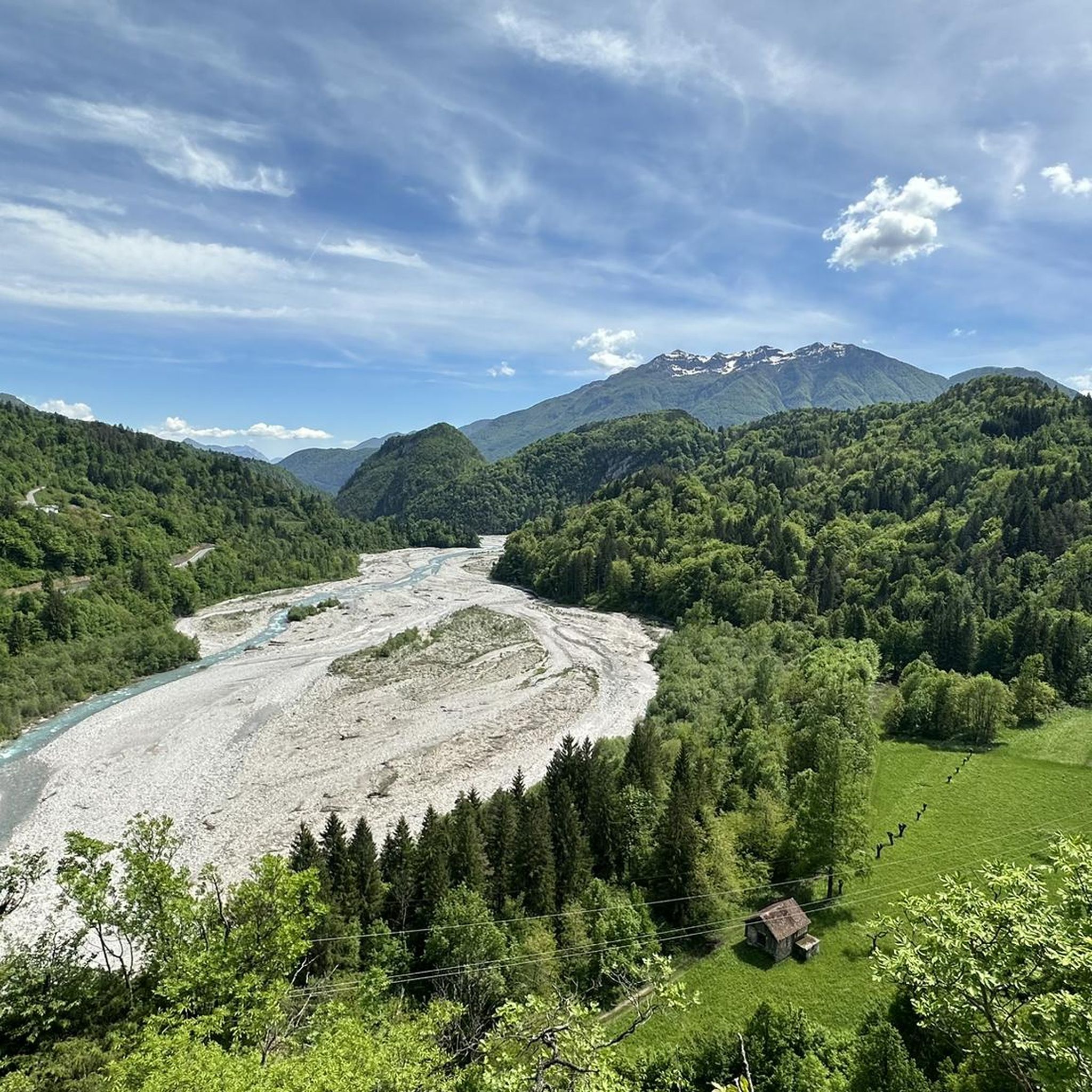
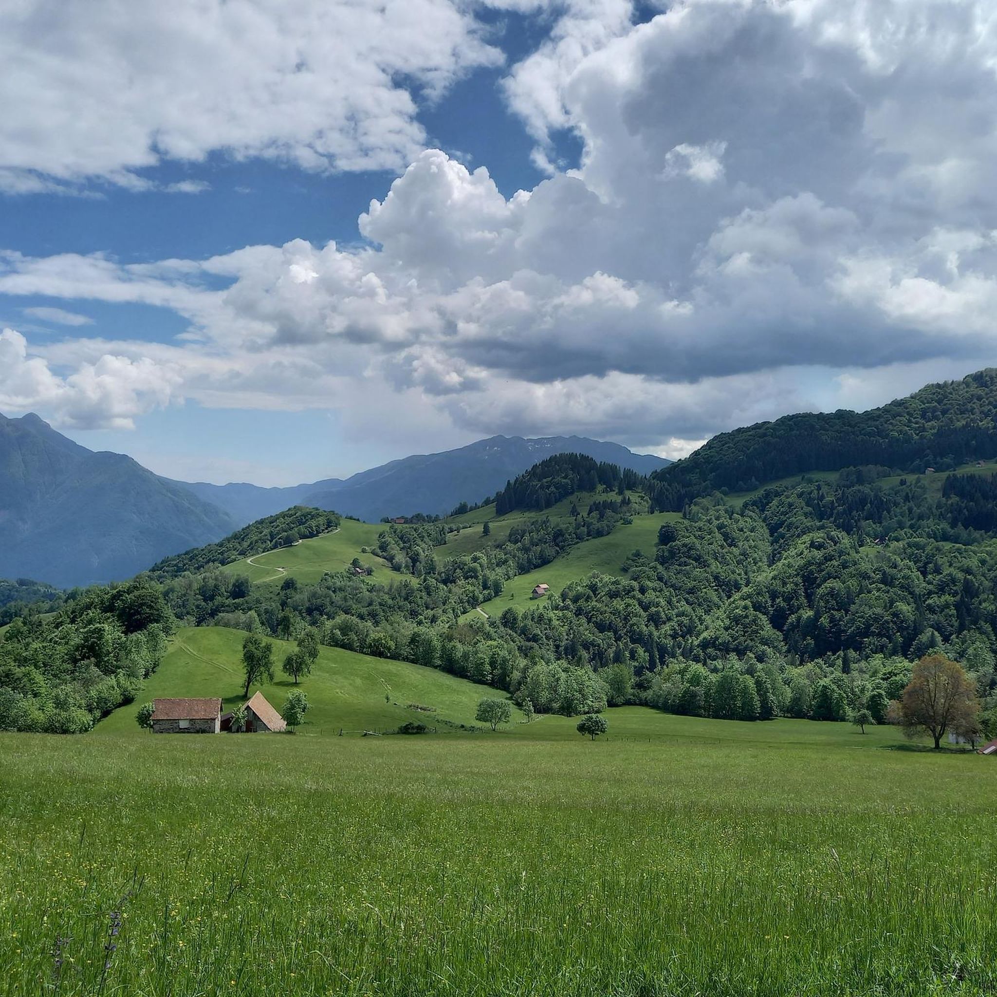
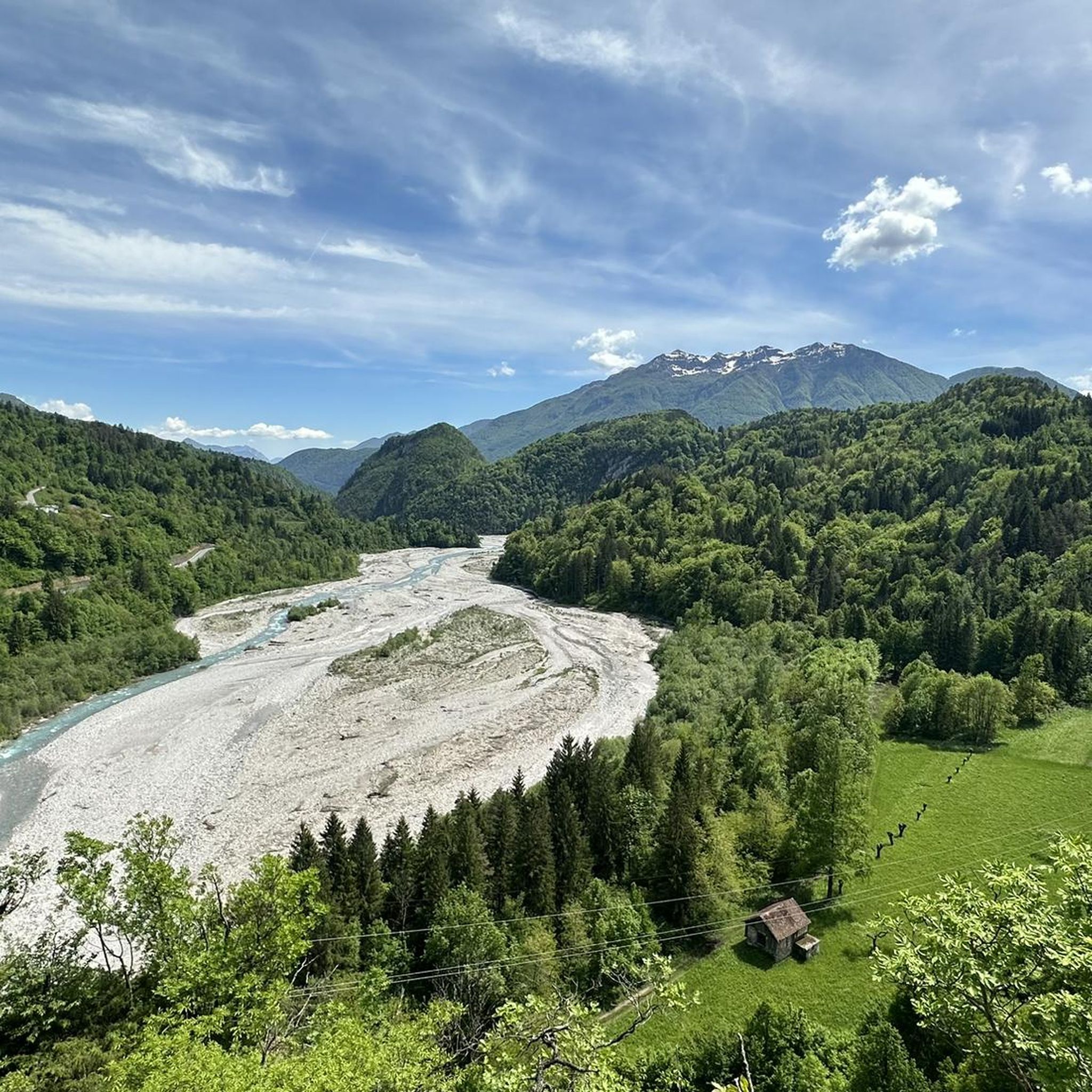
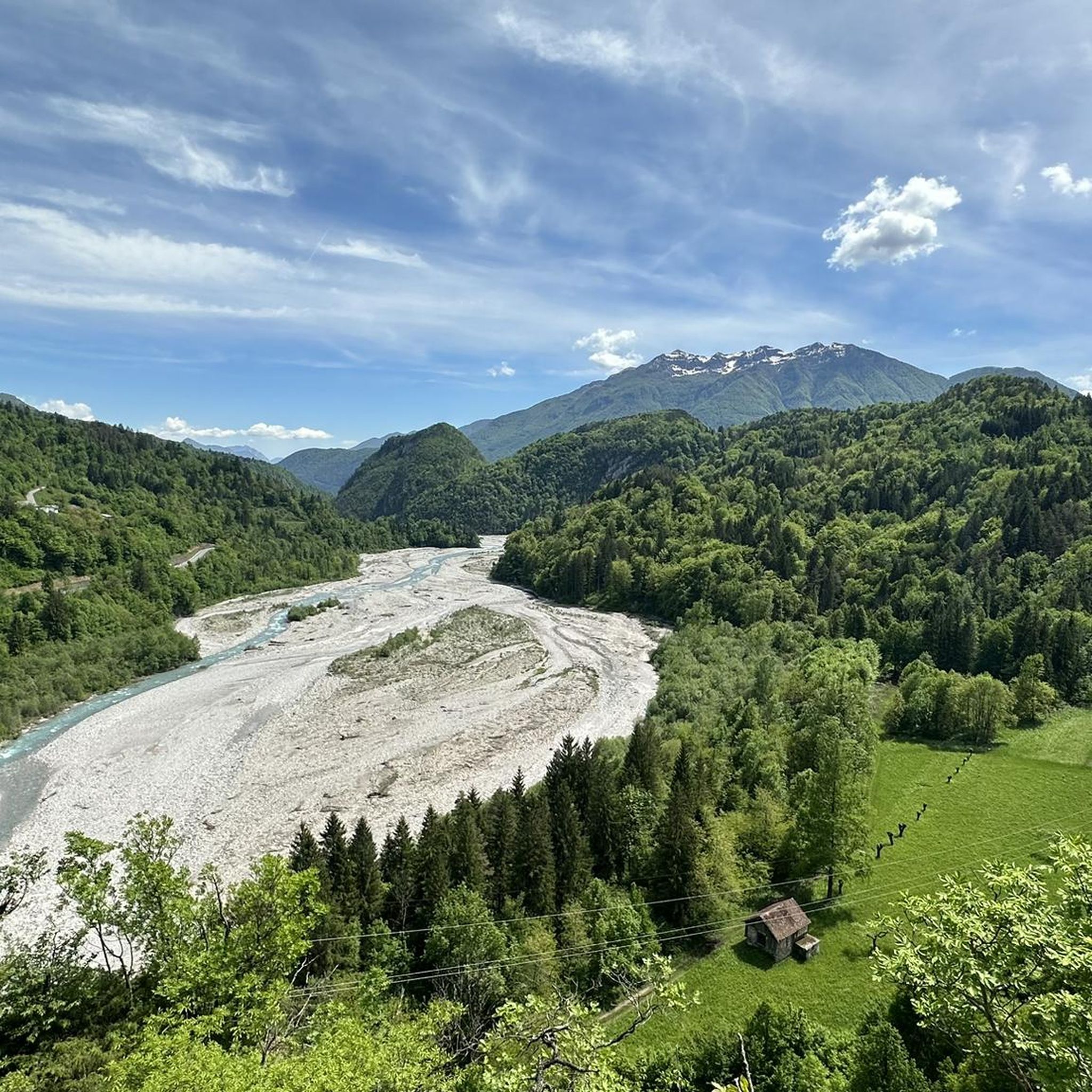
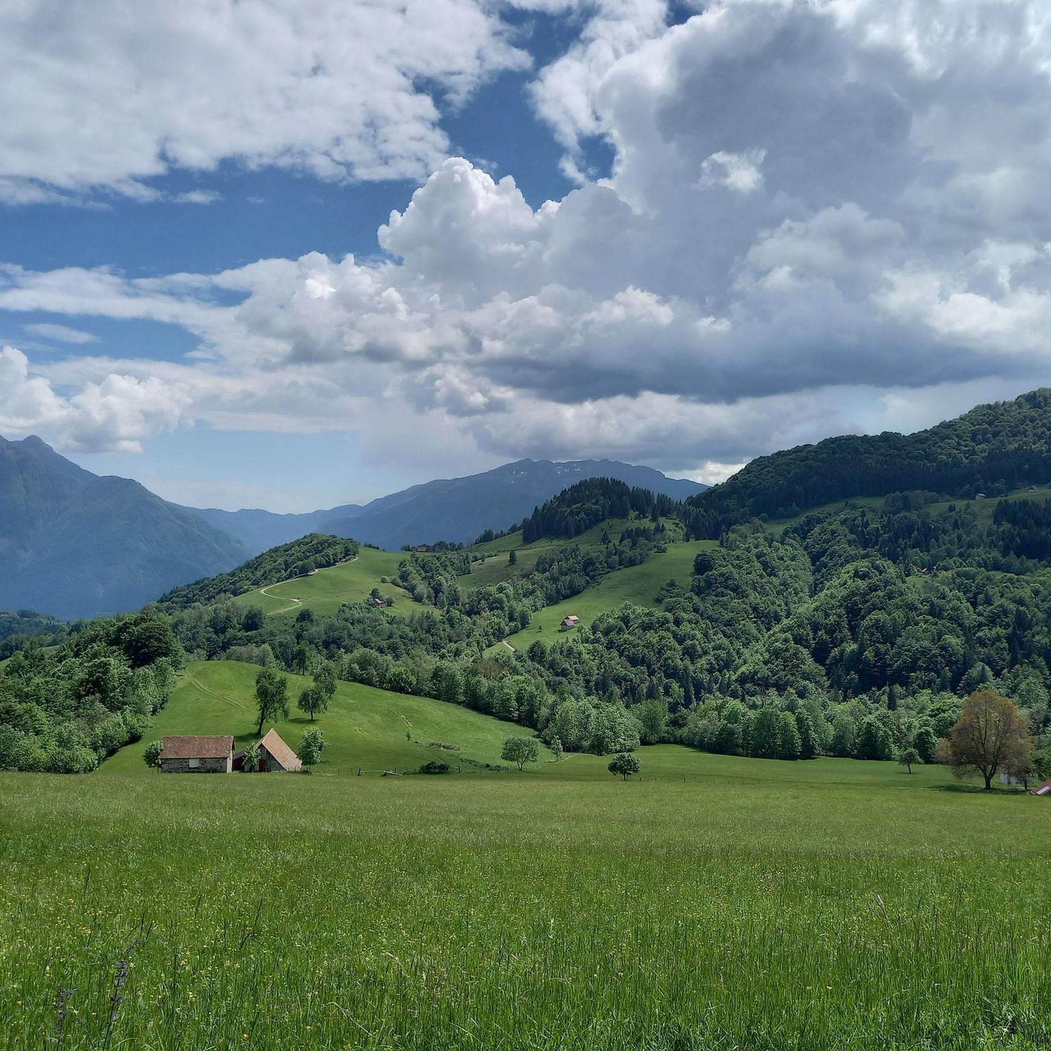
Mountaineering routes around Raveo are set within the dramatic Carnic Alps, characterized by thick forests, expansive alpine meadows, and high-altitude pastures. The region features challenging terrain with peaks like Monte Zoncolan reaching over 1900 meters, alongside renowned rock climbing falesie such as Tacs, Bonan, and Cuel di Nuvolae. This area offers a diverse environment for outdoor enthusiasts seeking technical climbs on compact gray slabs and demanding mountain ascents.
Best mountaineering routes around Raveo
- The most popular mountaineering route is Farina del Diavolo via ferrata loop from Villa Santina, a 2.1 miles (3.4 km) trail that takes 1 hour 47 minutes to complete. This route offers a challenging via ferrata experience through rugged mountain terrain.
- Another top favourite among local mountaineers is Wooden Shelter loop from Rifugio Tita Piaz, a difficult 6.6 miles (10.6 km) path. This route features significant elevation gain and traverses varied alpine landscapes.
- Local mountaineers also love the Monte Verzegnis Summit Stele loop from Sella Chianzutan, a 5.9 miles (9.6 km) trail leading through high-altitude pastures and offering panoramic views, often completed in about 5 hours 10 minutes.
- Mountaineering around Raveo is defined by the dramatic Carnic Alps, challenging rock climbing falesie, and diverse high-altitude trails. The network offers options for experienced mountaineers seeking demanding ascents.
- The routes in Raveo are highly rated by the komoot community with an average score of 5.0 stars from 5 reviews. More than 40 mountaineers have used komoot to explore Raveo's varied terrain.
Last updated: July 4, 2026
5.0
(3)
26
hikers
3.39km
01:48
280m
280m
Hard mountaineering route. Great for any fitness level. Sure-footedness, sturdy shoes and alpine experience required.
5
hikers
10.6km
04:31
670m
670m
Hard mountaineering route. Good fitness required. Sure-footedness, sturdy shoes and alpine experience required.

Sign up for free
5
hikers
9.63km
05:12
890m
900m
Hard mountaineering route. Very good fitness required. Sure-footedness, sturdy shoes and alpine experience required.
Our route recommendations are based on thousands of hikes, rides, and runs completed by other people on komoot.
Start today with a free account
Your next adventure awaits.
Login or Signup

Tips from the Community

Sella Chianzutan is a pass in the Carnic Prealps at around 950 meters above sea level. It can be reached from both San Francesco and Tolmezzo: the latter is the toughest side, although the gradients rarely exceed 10%. Between 2010 and 2020, it was tackled three times by the Giro d'Italia: the first to pass through here were Ludovic Turpin, Sebastian Henao and Giovanni Visconti.
0
0

Never too steep or busy the Sella Chianzutan rewards cyclists with a nice view at the top. Most of the climb coming from Tolmezzo is spent in the forest, which means few views on the surrounding mountains but also cooling shade. The descent towards Pozzis (and further to San Francesco) allows for incredible speeds!
0
0

A beautiful route, little traffic.
0
1

I particularly liked this climb.
17
1

At the top of the "Sella Chianzutan" pass there is a real sculpture park that invites you to linger and look at art. You can also see relics from past snowy winters of the former ski area.
2
0


A peak from which you can observe a wonderful view of the Carnic Alps.
1
0

Now that they've reopened the bar, it's worth at least one ride a year. The climb isn't very hard, and as the following video shows (from minute 4.00 onwards) it's doable even in winter. I took a bit too much risk on the subsequent descent towards Verzegnis. Next time I'll bring some cable ties to wrap around the tires to increase grip. https://youtu.be/knZ6s1dfL4c
2
0
Frequently Asked Questions
What kind of terrain can I expect on mountaineering routes around Raveo?
Mountaineering routes around Raveo are set within the dramatic Carnic Alps, characterized by rugged mountain landscapes, thick forests, expansive alpine meadows, and high-altitude pastures. You'll encounter challenging terrain, including technical climbs on compact gray slabs and demanding ascents.
Are there any circular mountaineering routes in the Raveo area?
Yes, several routes are designed as loops. For instance, the Farina del Diavolo via ferrata loop from Villa Santina offers a challenging experience, while the Wooden Shelter loop from Rifugio Tita Piaz traverses varied alpine landscapes. Another option is the Monte Verzegnis Summit Stele loop from Sella Chianzutan, which provides panoramic views.
What are some notable viewpoints or landmarks along these routes?
The region offers stunning vistas. Monte Zoncolan, a prominent peak, provides panoramic views of the Carnic Alps, Julian Alps, and Friulian Dolomites. The Sella Chianzutan Pass and Sculpture Park is another interesting landmark. You might also find highlights like Fast descent, beautiful views marked on some routes.
What is the best time of year for mountaineering around Raveo?
The summer months are generally ideal for mountaineering around Raveo, offering more stable weather conditions and accessible high-altitude trails. While winter mountaineering is possible, it requires specialized equipment and experience due to snow and ice.
Are there options for advanced mountaineers seeking a challenge?
Absolutely. The mountaineering routes around Raveo are predominantly difficult, catering to experienced mountaineers. Routes like the Farina del Diavolo via ferrata loop from Villa Santina and the Wooden Shelter loop from Rifugio Tita Piaz feature significant elevation gain and rugged terrain, providing a demanding alpine experience.
Can I find any waterfalls near the mountaineering trails?
Yes, the area around Raveo features several beautiful waterfalls. You can explore highlights such as the Plera Waterfall, Arzino Waterfalls, and the Fontanone of the Arzino Stream, which are often found in nearby valleys or accessible via shorter hikes.
What are the typical durations for mountaineering routes in Raveo?
The duration of mountaineering routes varies depending on the distance and elevation gain. For example, the Farina del Diavolo via ferrata loop typically takes around 1 hour 47 minutes, while the Wooden Shelter loop can take over 4.5 hours. Longer routes like the Monte Verzegnis Summit Stele loop often require about 5 hours 10 minutes to complete.
Is Monte Zoncolan accessible from these mountaineering routes?
Monte Zoncolan is a prominent feature in the Carnic Alps near Raveo, renowned for its challenging climbs. While not directly part of every mountaineering route listed, it is a significant regional landmark and can be accessed via dedicated climbing routes such as the Monte Zoncolan Climb from Ovaro or the Monte Zoncolan Ascent from Sutrio.
Are there any mountain huts or refugios available for rest or food?
Yes, the region has mountain huts that serve as excellent resting points. The Rifugio Tamai, located on Monte Zoncolan, is a popular spot offering traditional Carnic and Friulian dishes and panoramic views. Another option is the Rifugio Chiampizzulon loop from Col Maggiore / Cuel Maiôr, which includes a mountain hut.
What do other mountaineers say about the routes in Raveo?
The mountaineering routes in Raveo are highly rated by the komoot community, with an average score of 5.0 stars from 5 reviews. Mountaineers often praise the challenging nature of the trails, the stunning high-altitude scenery, and the genuine alpine experience offered by the Carnic Alps.
Are there any moderate mountaineering options for those not seeking extreme difficulty?
While most routes are rated difficult, there is at least one moderate option available. The Rifugio Chiampizzulon loop from Col Maggiore / Cuel Maiôr is classified as moderate, offering a less strenuous but still rewarding mountaineering experience with beautiful views.
Is parking available near the trailheads for these routes?
Parking availability varies by trailhead. For routes starting from specific locations like Villa Santina, Rifugio Tita Piaz, or Sella Chianzutan, there are typically designated parking areas for hikers and mountaineers. It's advisable to check specific route details for precise parking information.
Most popular attractions around Raveo

Get inspired with the komoot mobile app


Explore more
Browse the best Mountain Hikes & Routes in other regions.
