The best walks and hikes around Latisana
4.3
(491)
6,785
hikers
15
hikes
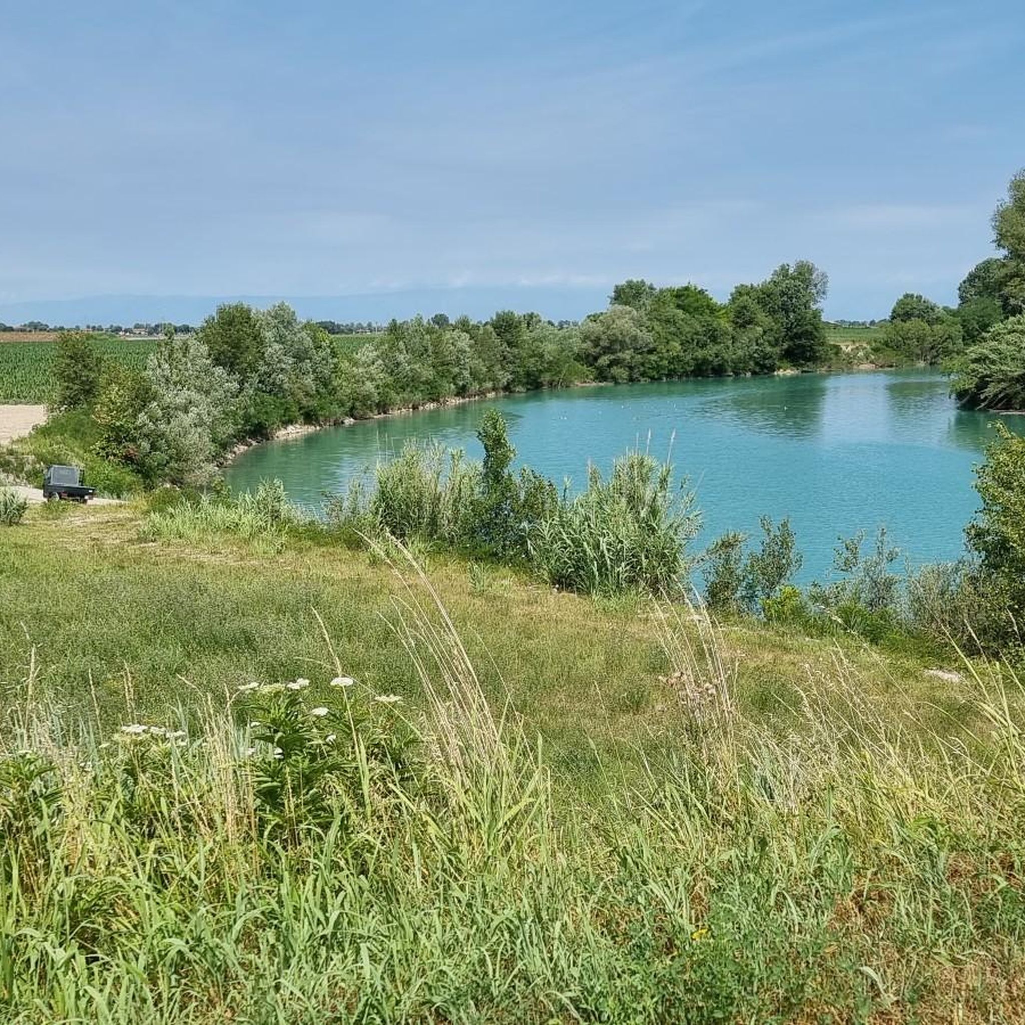
Hiking around Latisana offers diverse trails primarily characterized by the flat, riverine landscape of the Tagliamento River and its surrounding agricultural plains. The region features gentle terrain with minimal elevation changes, making it suitable for easy walks. Proximity to the Adriatic coast and the Marano Lagoon introduces unique wetland ecosystems and nature reserves, providing varied scenery for outdoor exploration. The countryside around Latisana is marked by ditches, canals, and scattered trees, offering pleasant rural paths.
Best hiking trails around Latisana
…Last updated: September 1, 2026
18
hikers
Easy hike. Great for any fitness level. Easily-accessible paths. Suitable for all skill levels.
5.0
(1)
12
hikers
7.95km
02:01
20m
20m
Moderate hike. Good fitness required. Easily-accessible paths. Suitable for all skill levels.

Sign up for free
12
hikers
5.93km
01:30
10m
10m
Easy hike. Great for any fitness level. Easily-accessible paths. Suitable for all skill levels.
9
hikers
6.95km
01:45
10m
10m
Easy hike. Great for any fitness level. Easily-accessible paths. Suitable for all skill levels.
8
hikers
Moderate hike. Good fitness required. Easily-accessible paths. Suitable for all skill levels.
Get access to more routes and recommendations from other explorers.
Sign up for free
Already have an account?
Our route recommendations are based on thousands of hikes, rides, and runs completed by other people on komoot.
Start today with a free account
Your next adventure awaits.
Login or Signup
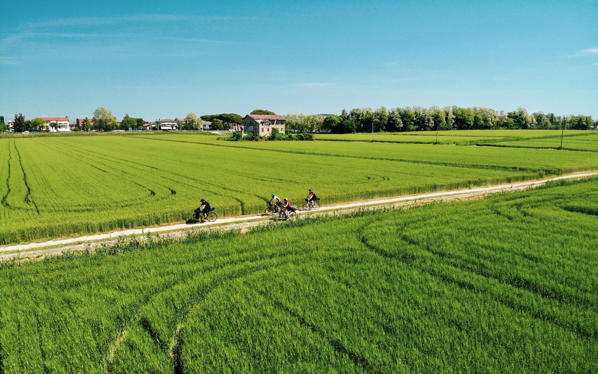
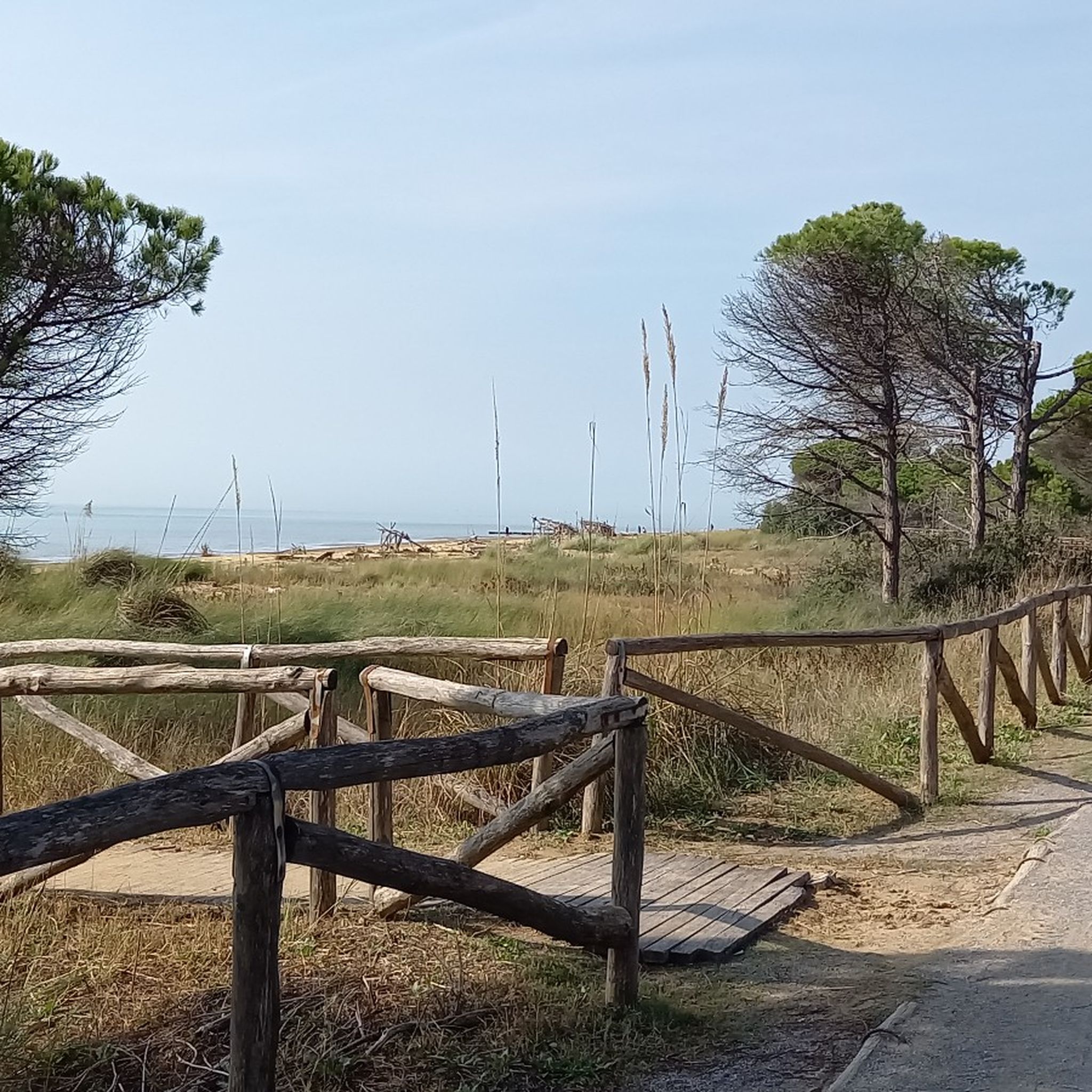
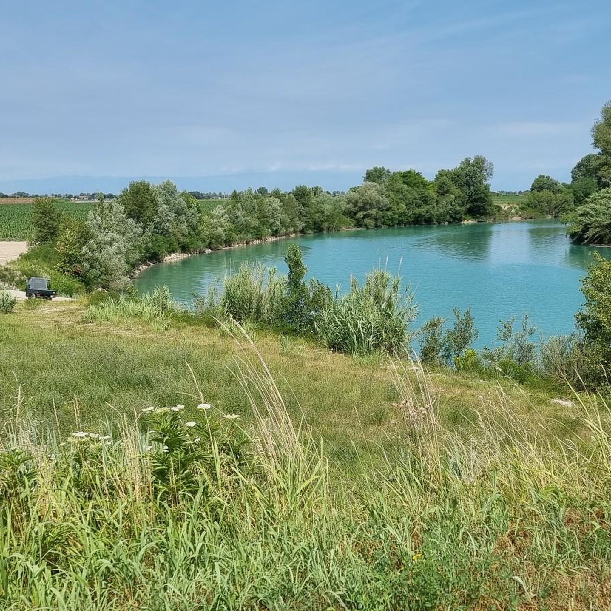
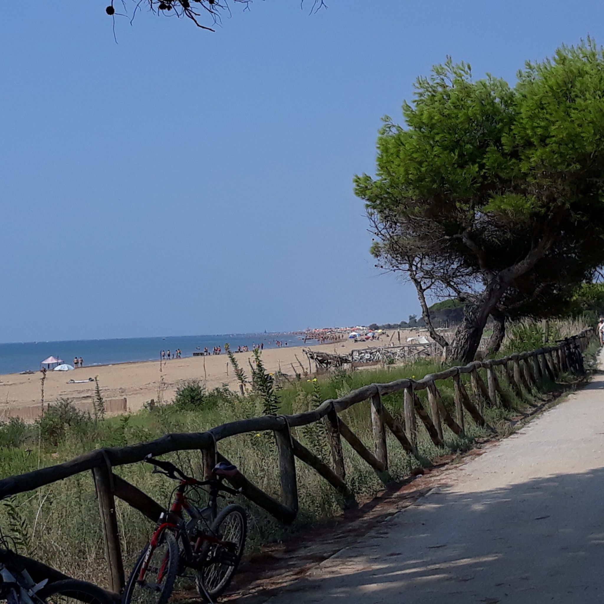
Other adventures around Latisana

Tips from the Community


Taking some pictures from this position makes the Tagliamento and Latisana very special.
1
0
Cathedral of San Giovanni Battista in Latisana, was probably built in the early Middle Ages.
0
0

Place in Fvg nature
1
1
Nice place between FVG and Veneto
1
1

the regional border runs right in the middle of the river... and as in the photo the front wheel is in Veneto and the rear one in Friuli Venezia Giulia
2
0
Frequently Asked Questions
What is the typical terrain and difficulty level for hiking around Latisana?
Hiking around Latisana is primarily characterized by a flat, riverine landscape along the Tagliamento River and surrounding agricultural plains. The terrain features gentle inclines with minimal elevation changes, making most routes suitable for easy walks. Out of over 270 available routes, more than 210 are rated as easy, with about 60 moderate and only a few more challenging options.
What natural features or landmarks can I expect to see while hiking near Latisana?
You'll primarily encounter the serene environment of the Tagliamento River and its banks, which is a central feature of the area. The region also offers access to unique lagoon ecosystems, such as the Marano Lagoon, which includes nature reserves like the Foci of the Stella River and Valle Canal Novo, ideal for nature walks and birdwatching. For historical interest, sections of ancient routes like the Via Postumia can be explored. You might also encounter highlights such as the Tagliamento River Mouth or the Villanova Oak (national monument).
Are there family-friendly hiking options around Latisana?
Yes, Latisana offers many family-friendly hiking options due to its predominantly flat and gentle terrain. The '10 thousand steps of health FVG - Latisana' trail along the Tagliamento River is an easy 4.6 km route, perfect for families. Many of the over 210 easy routes available are suitable for all ages and fitness levels, providing pleasant strolls through the countryside and along riverbanks.
Can I bring my dog on hikes in Latisana?
Generally, dogs are welcome on most hiking trails around Latisana, especially those through rural areas and along riverbanks. It's always advisable to keep your dog on a leash, especially near agricultural land or in nature reserves, and to carry water for them. Please be mindful of local regulations and other hikers.
What is the best time of year to go hiking in Latisana?
The spring and autumn months typically offer the most pleasant conditions for hiking in Latisana, with mild temperatures and beautiful scenery. Summer can be warm, but riverbank and lagoon walks might offer refreshing breezes. Winter hikes are also possible, especially on the flat trails, though some paths might be muddy after rain.
Are there circular hiking routes available near Latisana?
Yes, many of the hiking routes around Latisana are circular, allowing you to start and end at the same point. An example is the Latisana – Cold War Bunker loop from Latisana / Tisane, an easy 5.3 km trail. These loops are convenient for exploring the area without needing to arrange transport back to your starting point.
Is public transport available to reach hiking trails in Latisana?
Latisana is a town with a railway station, which can serve as a starting point for some trails, such as the '10 thousand steps of health FVG - Latisana' route. Local bus services may connect to nearby villages, but direct public transport to all trailheads might be limited. It's recommended to check local bus schedules if you plan to rely on public transport for specific starting points.
Are there parking facilities near the trailheads?
In Latisana and surrounding villages, you can typically find parking in town centers or designated areas close to popular starting points for trails. For example, the '10 thousand steps of health FVG - Latisana' trail has accessible entry points near the SS. Trinità church and near the railway bridge in Latisana, where parking should be available. Always look for official parking signs.
What do other hikers enjoy the most about hiking in Latisana?
The hiking routes in Latisana are highly rated by the komoot community, with an average score of 4.4 stars from over 550 reviews. Hikers often praise the quiet, flat paths along the Tagliamento River, the pleasant rural countryside, and the unique natural beauty of the nearby lagoon ecosystems. The accessibility and ease of the trails are frequently highlighted.
Are there any historical sites or cultural points of interest to explore while hiking?
Yes, for those interested in combining history with their walks, sections of ancient routes like the Via Postumia are accessible, offering a glimpse into the region's past. The area has a rich history with evidence of human settlements dating back to the Neolithic period. You might also find historical structures or points of interest in the surrounding countryside. For example, the Latisana – Cold War Bunker loop includes a historical point of interest.
How many hiking trails are available around Latisana?
There are over 270 hiking routes available around Latisana, offering a wide variety of options for different preferences and fitness levels. This includes a significant number of easy trails, as well as moderate and a few more challenging routes.
Can I find places to eat or drink near the hiking trails in Latisana?
Latisana itself is a charming riverside town with various amenities, including cafes, restaurants, and shops where you can refuel before or after your hike. While some rural trails might not have direct access to establishments, you'll find options in Latisana and the surrounding villages. It's always a good idea to carry snacks and water, especially on longer routes.
Most popular attractions around Latisana

Get inspired with the komoot mobile app


Explore more
Browse the best Hikes in other regions.
