The best walks and hikes around Rotter Forst Süd
4.4
(1458)
8,309
hikers
423
hikes
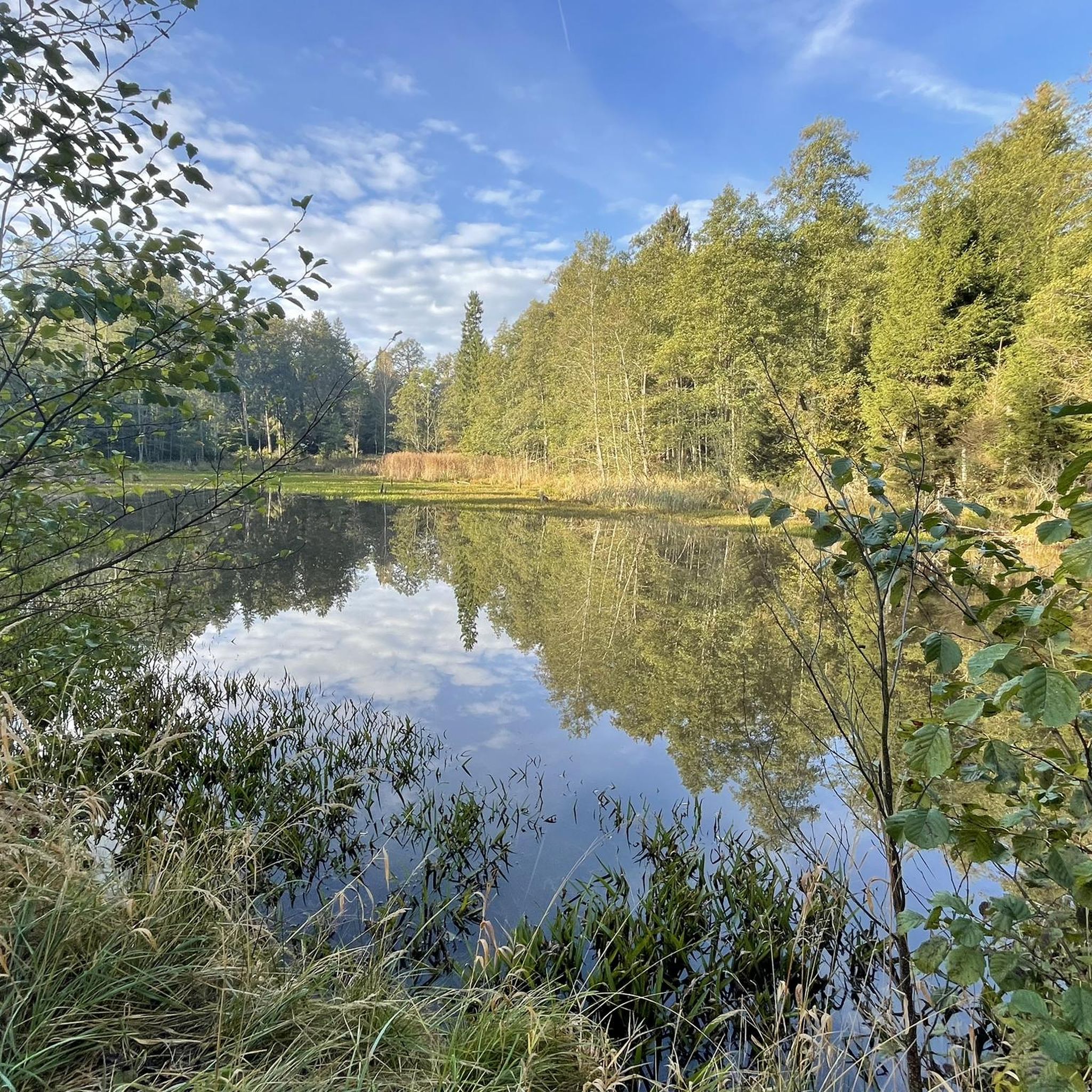
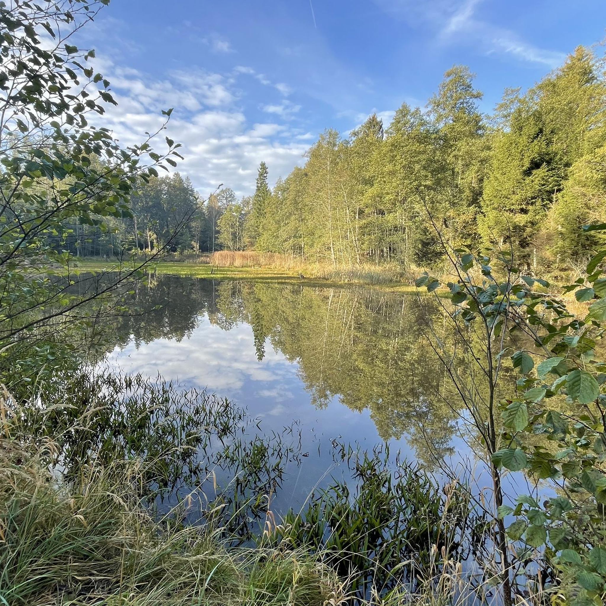
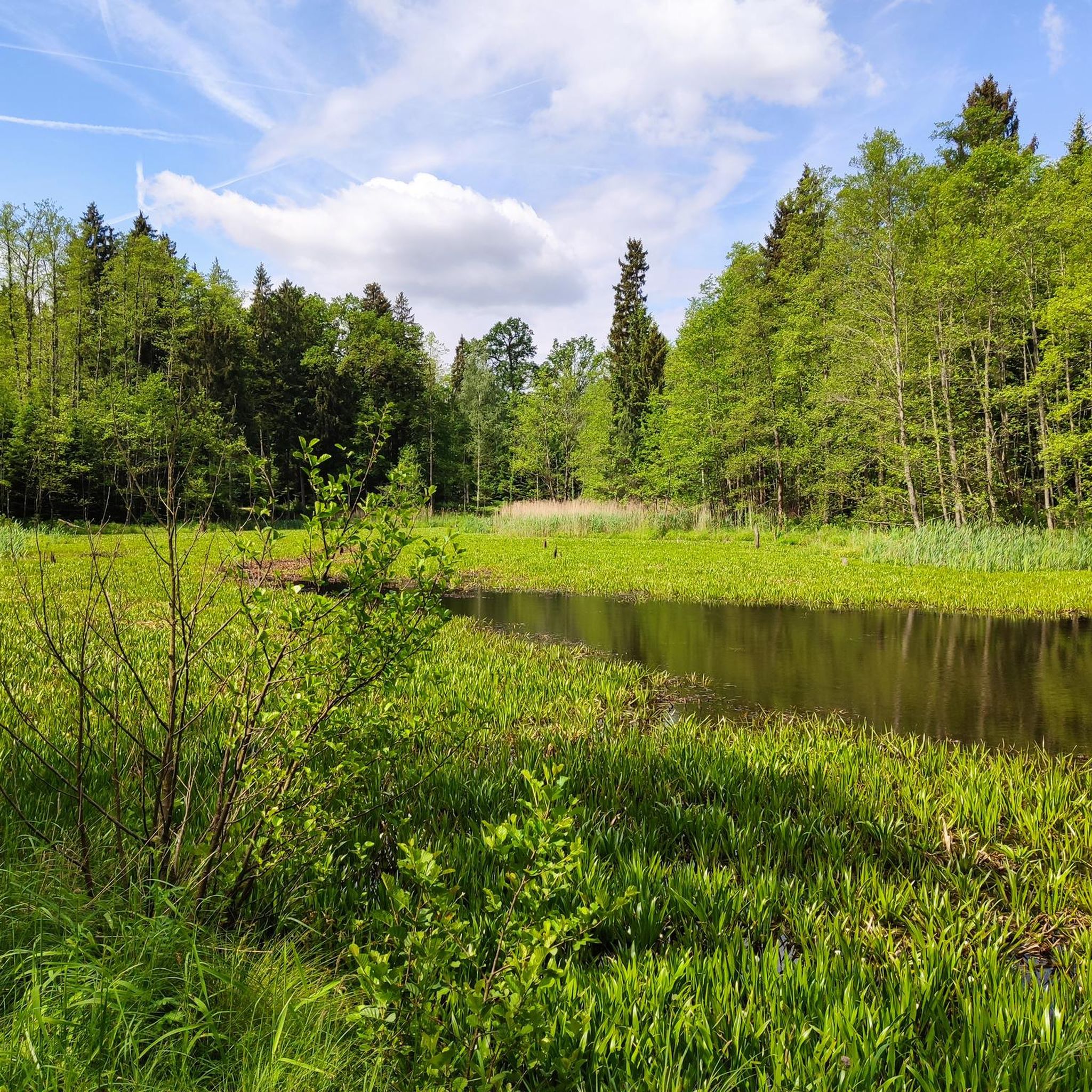
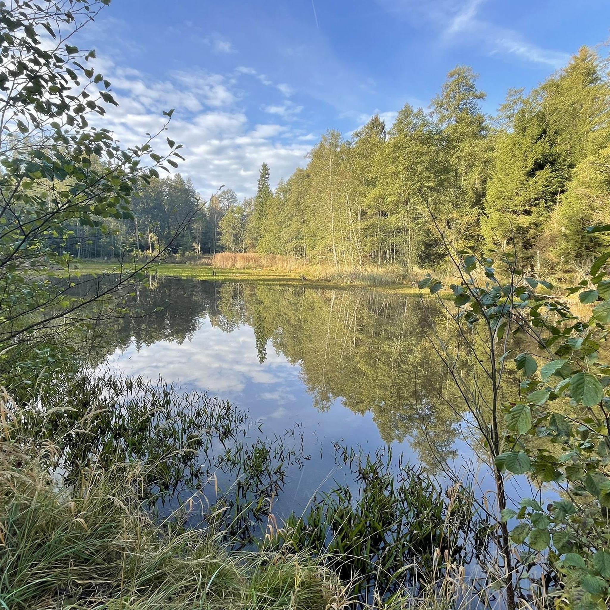
Hiking around Rotter Forst Süd offers diverse natural landscapes, characterized by extensive wooded areas and unique moorlands, remnants from the last ice age. The region features tranquil ponds such as the Entenweiher and streams like the Rabenbach, contributing to varied habitats. The terrain is generally flat with minimal elevation changes, providing a network of well-maintained trails suitable for different activity levels. Rotter Forst Süd is also a designated Flora-Fauna-Habitat (FFH) area, highlighting its ecological significance.
Best hiking trails around Rotter…
Last updated: May 16, 2026
4.3
(3)
43
hikers
4.64km
01:11
20m
20m
Easy hike. Great for any fitness level. Easily-accessible paths. Suitable for all skill levels.
4.0
(5)
25
hikers
8.00km
02:02
20m
20m
Moderate hike. Good fitness required. Easily-accessible paths. Suitable for all skill levels.

Sign up for free
5.0
(1)
14
hikers
Easy hike. Great for any fitness level. Easily-accessible paths. Suitable for all skill levels.
4
hikers
6.27km
01:36
20m
20m
Easy hike. Great for any fitness level. Easily-accessible paths. Suitable for all skill levels.
5
hikers
4.26km
01:06
20m
20m
Easy hike. Great for any fitness level. Easily-accessible paths. Suitable for all skill levels.
Get access to more routes and recommendations from other explorers.
Sign up for free
Already have an account?
Our route recommendations are based on thousands of hikes, rides, and runs completed by other people on komoot.
Start today with a free account
Your next adventure awaits.
Login or Signup

Tips from the Community

With patience and calm, you can discover many animals.
0
0


All information about the "Cafe Freiberger" can be found under the following link: https://cafe-freiberger.de/
1
0


Beautiful church and great Alpine panorama
0
0
Wonderful, historic building which now houses the municipal administration.
1
0
Frequently Asked Questions
How many hiking trails are available in Rotter Forst Süd?
Rotter Forst Süd offers a wide selection of routes, with over 400 hiking trails to explore. These range from easy strolls through the forest to more moderate excursions, catering to various preferences and fitness levels.
Are there any easy, family-friendly hikes in Rotter Forst Süd?
Yes, Rotter Forst Süd is well-suited for families, with many easy trails. A great option is the Brandplatz Parking Area – Entenweiher loop from Rotter Forst Nord, an easy 4.6 km (2.9 miles) route that takes about 1 hour 11 minutes. This trail explores the tranquil Entenweiher pond, which is a popular spot for leisurely walks. While many paths are suitable, some areas around the pond might not be stroller-friendly.
What kind of terrain can I expect on the hiking trails?
The terrain in Rotter Forst Süd is primarily characterized by extensive wooded areas and unique moorlands, remnants of the last ice age. Most trails feature minimal elevation changes, making them generally accessible. You'll find well-maintained paths winding through dense woodlands, past tranquil ponds like the Entenweiher, and alongside streams such as the Rabenbach.
Are there any circular hiking routes in the area?
Yes, many of the trails in Rotter Forst Süd are circular routes, perfect for exploring without retracing your steps. For example, the Hiking loop from Unterrain is an easy 5.1 km (3.2 miles) path that offers varied forest terrain and takes approximately 1 hour 19 minutes to complete.
Can I bring my dog on the hiking trails in Rotter Forst Süd?
Rotter Forst Süd is generally dog-friendly, offering plenty of natural spaces for you and your canine companion to enjoy. While specific restrictions may apply in nature reserves, most forest paths are suitable for dogs. Always keep your dog on a leash and be mindful of local wildlife, including the black adder which can be found in sunny spots.
What interesting natural features or landmarks can I see along the trails?
The region boasts diverse natural features. You can explore the unique moorlands, visit the tranquil Entenweiher (Duck Pond), or follow paths along the Rabenbach stream. For those interested in historical sites, some routes pass by cultural elements like the Lourdesgrotte Dobl or the Haringer Kapelle. Additionally, you can find impressive gorges nearby, such as Doblergraben or the Schaurachgraben Waterfall and Rocky Overhang.
Are there any castles or historical sites accessible from the hiking trails?
While primarily focused on nature, some routes offer glimpses of historical points. For instance, you might find trails that lead near sites like Maxlrain Castle or Schechen Castle (Town Hall). These add a cultural dimension to your outdoor adventure.
What do other hikers enjoy most about Rotter Forst Süd?
The area is highly rated by the komoot community, with an average score of 4.4 stars from over 1300 reviews. Hikers often praise the quiet woodlands, the diverse natural landscapes, and the well-maintained network of trails that cater to various activity levels. The tranquil ponds and unique moorlands are frequently highlighted as favorite features.
Are there any longer or more challenging hikes available?
While many trails are easy, Rotter Forst Süd also offers moderate options for those seeking a bit more challenge. For example, the St. Vitus Church, Hochstätt – Waldsee loop from Hochstätt is an 8.0 km (5.0 miles) trail that leads through woodlands and past the Waldsee, typically completed in about 2 hours 2 minutes. There are also a few more difficult routes for experienced hikers, though they are less common.
Where can I park when visiting Rotter Forst Süd for a hike?
Parking is generally available at common starting points for trails. For instance, the Brandplatz Parking Area – Entenweiher loop from Rotter Forst Nord explicitly mentions a parking area, indicating convenient access for many routes. It's advisable to check the specific route details on komoot for designated parking spots.
What is the best time of year to go hiking in Rotter Forst Süd?
Rotter Forst Süd is enjoyable throughout much of the year. Spring and autumn offer pleasant temperatures and beautiful scenery with changing foliage or blooming flora. Summer is ideal for longer days, though the forest provides welcome shade. Even in winter, the trails can be beautiful, especially after fresh snowfall, but always check local conditions before heading out.
Most popular attractions around Rotter Forst Süd

Get inspired with the komoot mobile app


Explore more
Browse the best Hikes in other regions.
