The best MTB trails around Andreis
4.4
(450)
3,239
riders
119
rides
Mountain bike trails around Andreis, located in the Friuli-Venezia Giulia region of Italy, offer a diverse and extensive network for riders. The area is characterized by a hilly and mountainous landscape, featuring dense woodlands, dirt roads, and challenging single tracks. Riders can explore routes that lead towards the dramatic Piccole Dolomiti and through the expansive meadows of the Lessinia Regional Natural Park. This region provides varied terrain suitable for different mountain biking experiences.
Best mountain bike trails around Andreis
- The…
Last updated: October 8, 2026
4.7
(15)
66
riders
29.0km
03:22
1,100m
1,100m
Hard mountain bike ride. Very good fitness required. Advanced riding skills necessary. Some portions of the route may require you to push your bike.
4.6
(22)
64
riders
38.7km
03:49
1,170m
1,170m
Hard mountain bike ride. Very good fitness required. Suitable for all skill levels.

4.6
(8)
29
riders
15.0km
01:00
230m
240m
Easy mountain bike ride. Great for any fitness level. Suitable for all skill levels.
4.7
(10)
46
riders
Hard mountain bike ride. Very good fitness required. Suitable for all skill levels.
4.8
(6)
26
riders
17.2km
01:19
390m
390m
Moderate mountain bike ride. Good fitness required. Suitable for all skill levels.
Get access to more routes and recommendations from other explorers.
Already have an account?
Our route recommendations are based on thousands of hikes, rides, and runs completed by other people on komoot.
Start today with a free account
Your next adventure awaits.

Tips from the Community

The new arch bridge over Lake Barcis, inaugurated in the early months of 2021, is a strategic infrastructure located near the Ponte Antoi dam. It is a single-span arch bridge, approximately 78 meters long with an overall width of 12.90 meters. It allows the transit of heavy vehicles — particularly those used for transporting inert materials during the basin's de-silting operations — avoiding passage over the historic dam or through the inhabited center of Barcis. https://www.fvgstrade.it/it/20585/fase-finale-varo-ponte-di-barcis
0
0
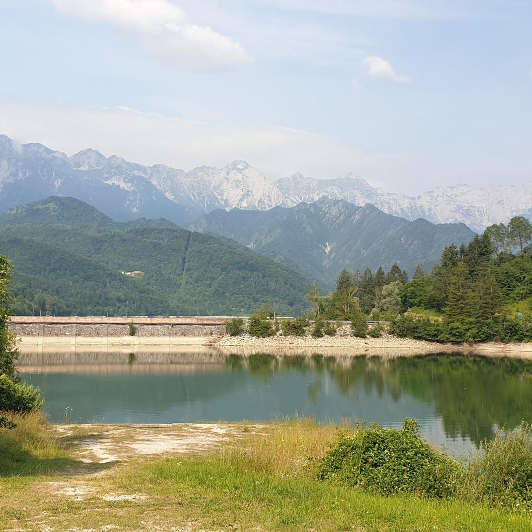
Lake Aprilis, better known as Lake Barcis, is an artificial basin created in 1954 by damming the Cellina stream near the Ponte Antoi gorge. It owes its characteristic brilliant green color to the combination of sunlight with minerals and calcareous sediments carried by the water. The presence of dense beech and fir forests along the banks accentuates the emerald green tones.
1
0
Lake Aprilis, better known as Lake Barcis, is an artificial basin created in 1954 by damming the Cellina stream near the Ponte Antoi gorge. Its characteristic brilliant green color is due to the combination of sunlight with minerals and calcareous sediments carried by the waters. The presence of dense beech and fir forests along the banks accentuates the emerald green tones.
1
0


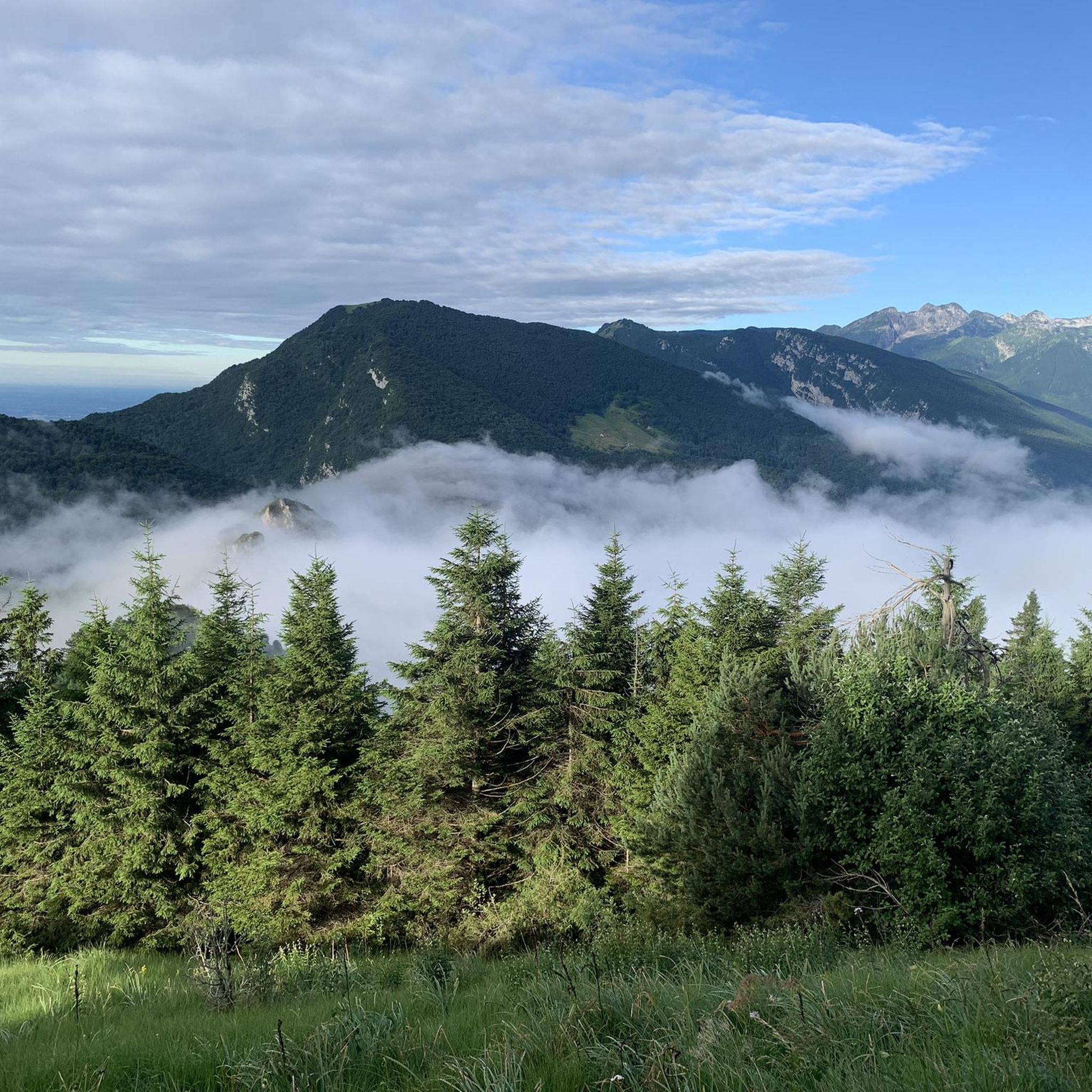
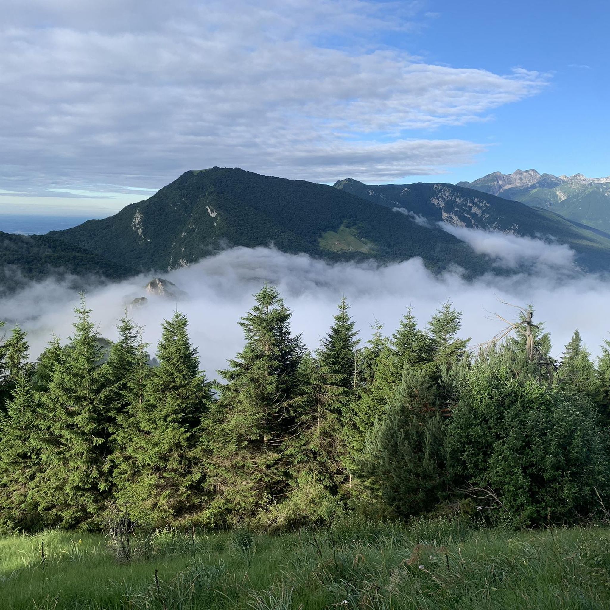
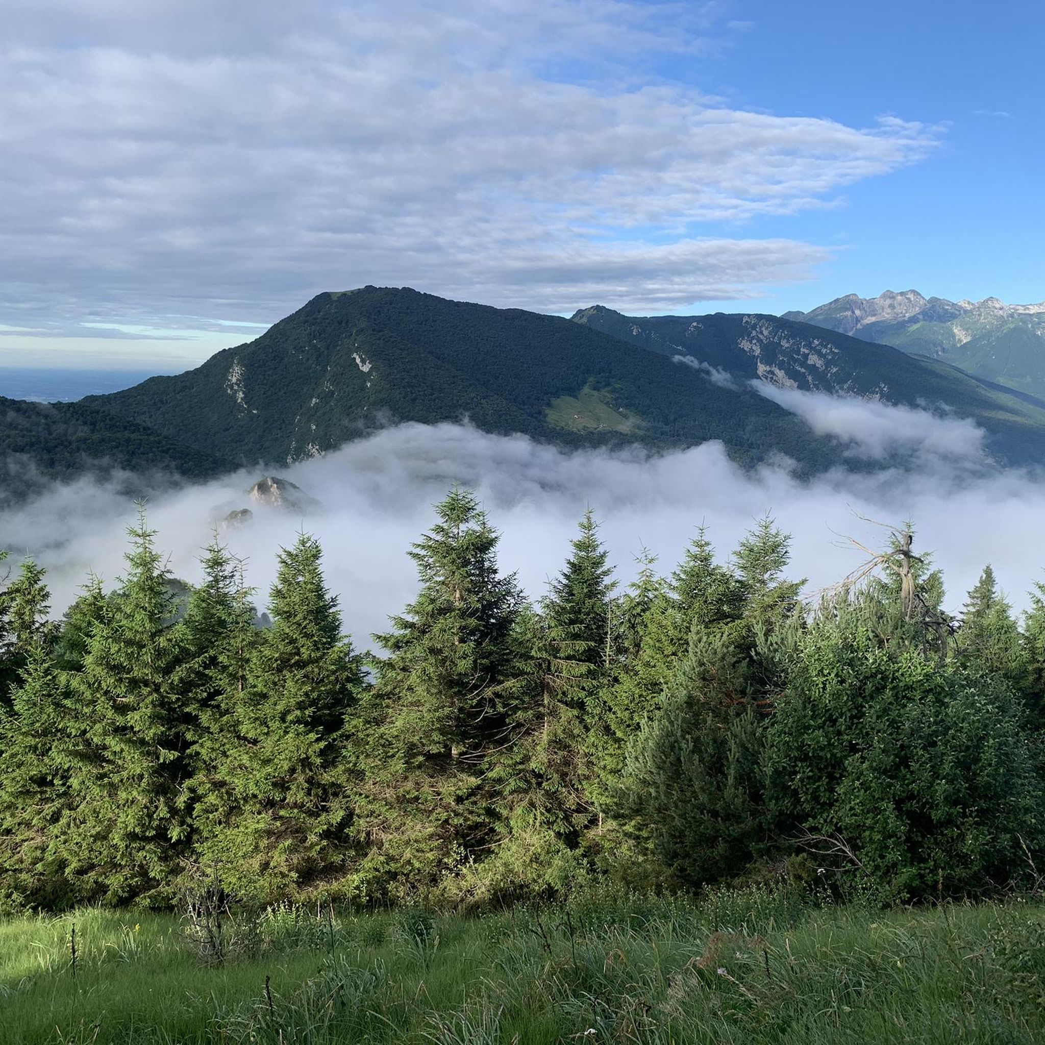
Casera La Pala, 1203 meters. Along with Casera Montelonga, they offer the perfect opportunity for backpacking and hiking or mountain biking.
1
0
Casera Montelonga, now accessible by mountain bike and gravel from Piancavallo.
0
0
Frequently Asked Questions
How many mountain bike trails are available around Andreis?
There are over 120 mountain bike trails around Andreis, offering a wide range of options for different skill levels. This includes 31 easy, 53 moderate, and 40 difficult routes.
What kind of terrain can I expect on mountain bike trails in Andreis?
The Andreis region, nestled in Friuli-Venezia Giulia, features a diverse landscape with hilly and mountainous terrain. You'll encounter dense woodlands, dirt roads, and challenging single tracks. Many routes lead towards the dramatic Piccole Dolomiti and through the expansive meadows of the Lessinia Regional Natural Park, often with significant elevation changes.
Are there any easy mountain bike trails suitable for beginners or families in Andreis?
Yes, Andreis offers family-friendly and easy routes. For instance, the Footbridge over Lake Barcis – Barcis Bridge loop from Andreis is an easy 9.3-mile (15.0 km) trail that leads through the scenic Valcellina valley.
What are some notable natural attractions or viewpoints I can see while mountain biking in Andreis?
The area around Andreis is rich in natural beauty. You can discover stunning spots like the First Viewpoint (Skywalk del Dint), the serene Lake Tramonti, or the Summit cross on Monte Jouf. The Sentiero del Dint also offers picturesque sections.
Are there any mountain huts or refuges along the trails in Andreis?
Yes, several huts and cabins are located in the vicinity of Andreis, providing potential resting spots or destinations. These include Pradut Hut, Rupeit Hut, Casera Casavento, Casera Britol (Baita Polo), and Malga Jouf.
What do other mountain bikers enjoy most about the trails in Andreis?
The mountain bike trails around Andreis are highly rated by the komoot community, with an average score of 4.5 stars from over 330 reviews. Riders often praise the varied terrain, the challenging climbs and descents, and the stunning natural scenery, particularly around Lake Barcis and the Valcellina valley.
What is a challenging mountain bike route in the Andreis area?
For experienced riders seeking a challenge, the Footbridge over Lake Barcis – Piancavallo (Aviano) loop from Barcis / Barce is a difficult 24.0-mile (38.7 km) path. This route features demanding climbs and descents through mountainous terrain towards Piancavallo, offering a significant workout and rewarding views.
Are there any moderate mountain bike routes around Andreis?
Yes, there are many moderate options. A good example is the Barcis Bridge – Lake Barcis loop from Barcis / Barce, a 22.2-kilometer (13.8-mile) trail that offers a balanced experience of ascents and descents around Lake Barcis.
Can I find circular mountain bike routes in Andreis?
Yes, many of the mountain bike routes in Andreis are designed as loops, allowing you to start and finish at the same point. Examples include the Lake Barcis – Footbridge over Lake Barcis loop from Barcis / Barce and the Footbridge over Lake Barcis – Barcis Bridge loop from Andreis.
What is the best time of year for mountain biking in Andreis?
The region's mountainous terrain suggests that spring, summer, and early autumn are generally the best times for mountain biking in Andreis. During these seasons, the weather is typically more favorable, and trails are less likely to be affected by snow or extreme cold, especially at higher elevations.
Where can I find more information about mountain biking in the Lessinia region?
For additional information about mountain biking opportunities in the broader Lessinia region, which encompasses parts of the Andreis area, you can visit visitlessinia.eu.
Most popular routes around Andreis
Most popular attractions around Andreis

Get inspired with the komoot mobile app


Explore more
Browse the best MTB trails in other regions.
