The best walks and hikes around Torre De' Passeri
4.1
(52)
250
hikers
22
hikes
Hiking around Torre De' Passeri offers access to the diverse landscapes of the Abruzzo region in central Italy. The area is characterized by rolling hills, river valleys, and the foothills of the Apennine mountains. Hikers can explore a mix of agricultural land, wooded areas, and rocky gorges. The terrain provides a variety of elevation changes suitable for different hiking abilities.
Best hiking trails around Torre De' Passeri
- The most popular hiking route is From Roccatagliata to Bussi sul Tirino,…
Last updated: July 5, 2026
15.1km
05:18
860m
860m
Hard hike. Very good fitness required. Easily-accessible paths. Suitable for all skill levels.
4.0
(3)
21
hikers
7.75km
02:02
60m
60m
Moderate hike. Good fitness required. Easily-accessible paths. Suitable for all skill levels.

Sign up for free
4.8
(4)
17
hikers
17.8km
08:23
1,340m
1,340m
Hard hike. Very good fitness required. Mostly accessible paths. Sure-footedness required.
4.3
(3)
13
hikers
10.2km
03:00
270m
270m
Moderate hike. Good fitness required. Easily-accessible paths. Suitable for all skill levels.
5.0
(2)
12
hikers
4.56km
02:10
360m
360m
Moderate hike. Good fitness required. Mostly accessible paths. Sure-footedness required.
Get access to more routes and recommendations from other explorers.
Sign up for free
Already have an account?
Our route recommendations are based on thousands of hikes, rides, and runs completed by other people on komoot.
Start today with a free account
Your next adventure awaits.
Login or Signup
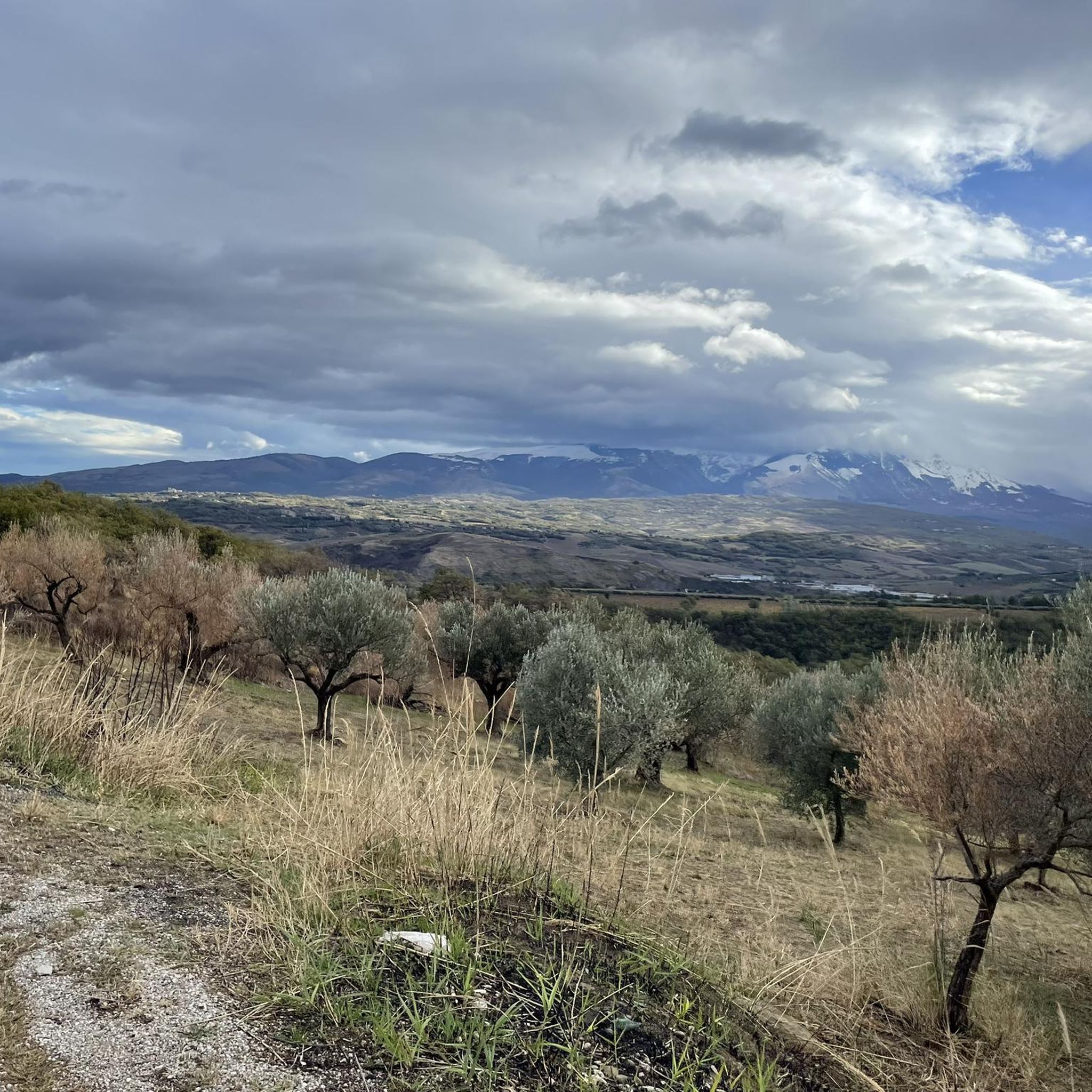
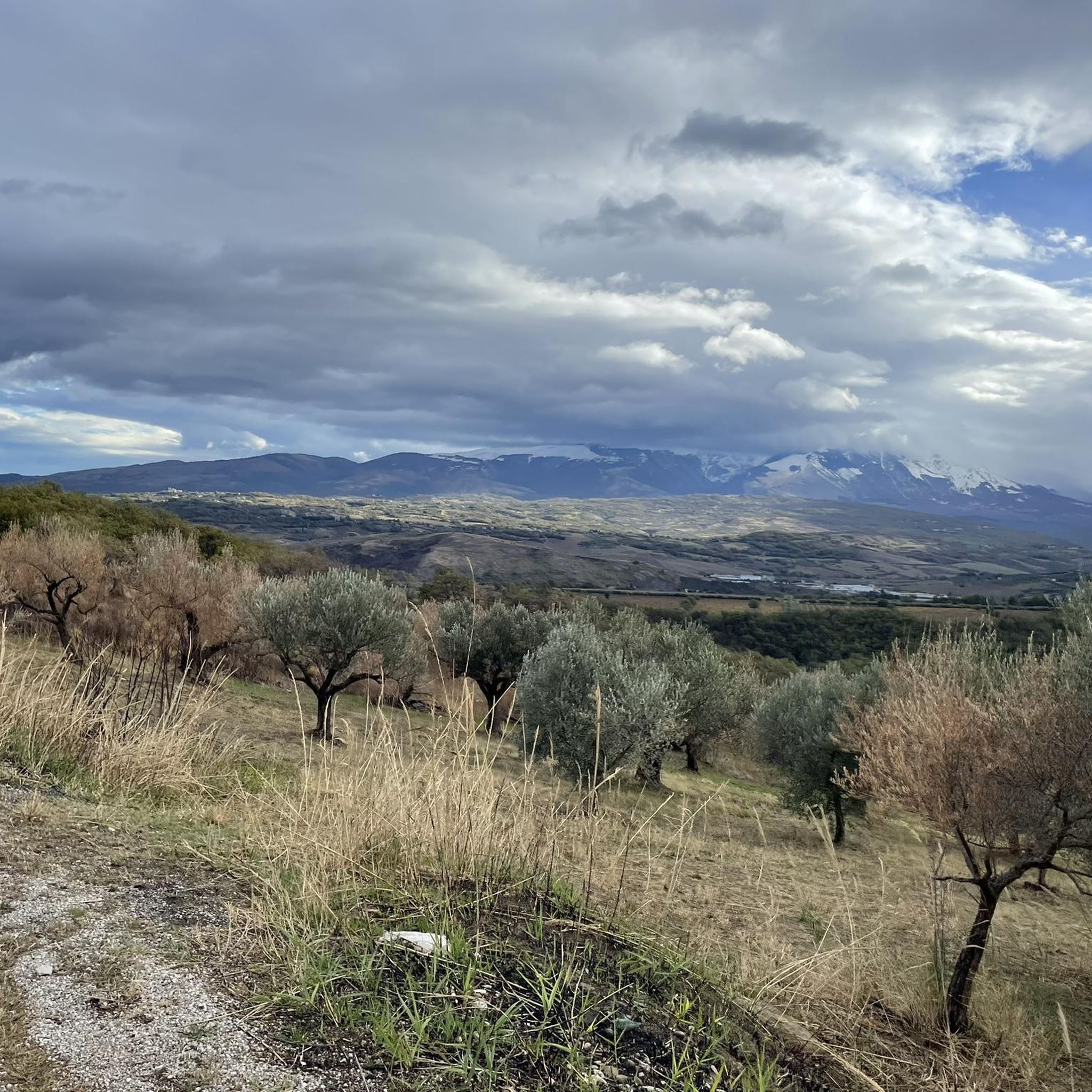
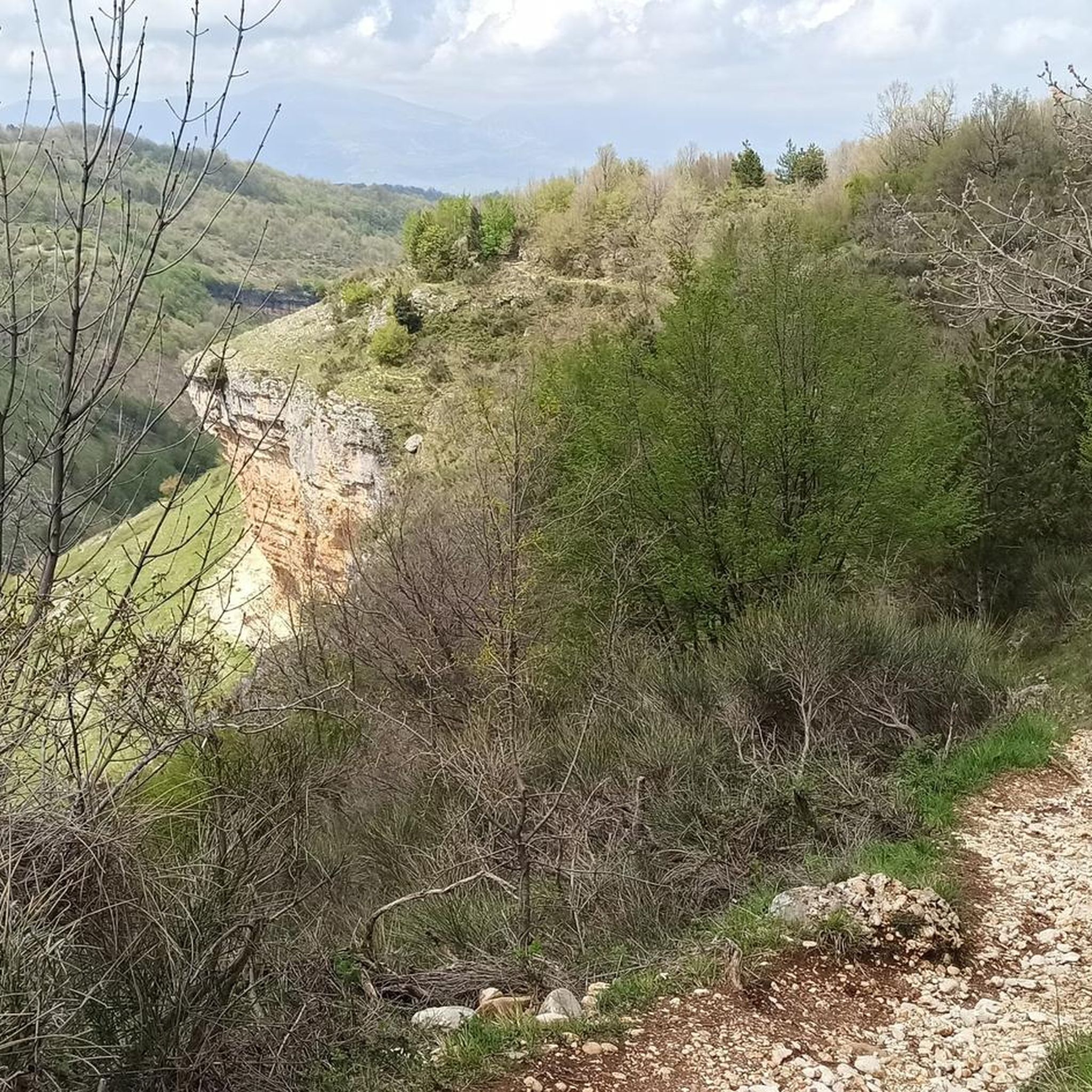
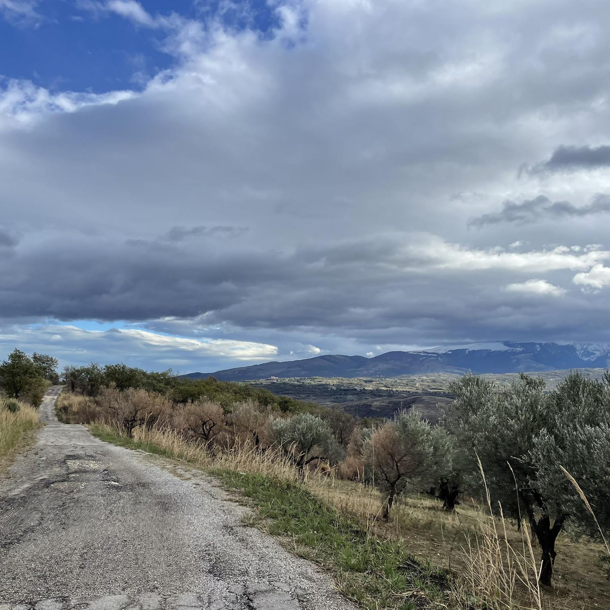
Tips from the Community


This is a little-known protected area. The characteristic feature is the sulphurous waters of the Lavino river, which are of an intense turquoise colour. Right at the entrance to the park there is an area equipped with tables and a play area.
3
0

Bussi sul Tirino is a municipality located at an altitude of 344 metres. It has an interesting history that begins in the Italian era. Today it is possible to see the parish church of San Biagio and San Nicola di Bari of Baroque style, various other interesting churches and the Lombard tower.
2
0
From this point, almost 600 meters high, it is possible to see the Maiella massif (weather permitting), and Castiglione a Casauria.
2
0
Monte Rotondo, with its 1,731 meters of altitude, is part of the Morrone mountain group. From here you have a beautiful point of view on the Maiella and on the hinterland of Abruzzo.
2
0
Simple hike easy to follow which can start at the bottom of an ancient village on the side if the mountains
1
0

Frequently Asked Questions
How many hiking trails are there around Torre De' Passeri?
There are nearly 20 hiking routes available around Torre De' Passeri, catering to various skill levels. This includes 2 easy trails, 12 moderate trails, and 5 difficult routes, offering a diverse range of experiences in the Abruzzo region.
Are there any easy or beginner-friendly hiking trails in Torre De' Passeri?
Yes, Torre De' Passeri offers a couple of easy hiking trails suitable for beginners. These routes typically feature gentler terrain and shorter distances, perfect for a relaxed outdoor experience. While specific easy routes are not detailed in the top recommendations, the region's diverse landscape ensures accessible options.
What kind of terrain can I expect on hikes around Torre De' Passeri?
The hiking trails around Torre De' Passeri feature a varied landscape, including rolling hills, river valleys, and the foothills of the Apennine mountains. You'll encounter a mix of agricultural land, wooded areas, and rocky gorges, providing diverse scenery and elevation changes.
Are there any circular hiking routes near Torre De' Passeri?
Yes, several circular routes are available. For example, the Orta River Gorge – Ponte Luco loop from Salle is a moderate 8.2 km path offering scenic views. Another option is the Hiking loop from Scafa, an 8.1 km trail through agricultural landscapes.
What are some scenic viewpoints or natural attractions to see on hikes?
Hikers can discover several natural attractions and viewpoints. The Orta River Gorge is a prominent feature, and you can also find the Monte Rotondo Summit for panoramic views. Other notable spots include the Sulphur Springs of the Lavino River and the Protected Area of Parco del Lavino.
What do other hikers say about the trails in Torre De' Passeri?
The trails in Torre De' Passeri are highly regarded by the komoot community, holding an average rating of 4.2 stars from over 46 reviews. Hikers often praise the diverse terrain, from river gorges to rolling hills, and the variety of options suitable for different ability levels.
Are there any longer, more challenging hikes for experienced hikers?
Experienced hikers can find challenging routes in the area. The From Roccatagliata to Bussi sul Tirino trail is a difficult 15.1 km route with significant elevation changes. Another demanding option is the Fonte Luigi – Monte Rotondo Summit loop from Tocco da Casauria, which spans over 20 km.
What is the best season for hiking around Torre De' Passeri?
The Abruzzo region, where Torre De' Passeri is located, generally offers pleasant hiking conditions from spring through autumn. Spring brings wildflowers and mild temperatures, while autumn provides comfortable weather and vibrant foliage. Summer can be warm, so early morning or late afternoon hikes are often preferred.
Are there any trails that feature river gorges or water elements?
Yes, the region is known for its river gorges. The Orta River Gorge – Ponte Luco loop from Salle specifically highlights the Orta River Gorge. Another route, View of the Orta Gorge – Scura Cave loop from Piano d'Orta-Bolognano, also offers views of this impressive natural feature.
Is public transport available to reach trailheads near Torre De' Passeri?
While Torre De' Passeri itself has a train station, access to specific trailheads in the surrounding rural areas often requires a car. Some local bus services might connect to larger towns near certain starting points, but it's advisable to check local schedules in advance for specific routes.
Are there options for less crowded hiking trails?
To find less crowded trails, consider exploring some of the moderate or difficult routes that venture further into the natural landscapes away from the immediate vicinity of towns. Early morning starts or hiking during weekdays outside of peak tourist season can also help ensure a more solitary experience.
Most popular routes around Torre De' Passeri
Most popular attractions around Torre De' Passeri

Get inspired with the komoot mobile app


Explore more
Browse the best Hikes in other regions.
