The best road cycling routes around Rothenbuch
4.7
(238)
2,323
riders
42
rides
Road cycling around Rothenbuch offers varied terrain within Germany's Spessart region, characterized by rolling hills, deep forests, and scenic valleys. The area features significant elevation differences, ranging from 231 meters in the Hafenlohr Valley to 470 meters on a spur of the Königsberg, providing both challenging climbs and rewarding descents. Many routes feature mostly paved surfaces, making them ideal for road bikes. This topography ensures an engaging environment for cyclists seeking diverse natural features.
Best road cycling routes around Rothenbuch
…Last updated: July 1, 2026
4.7
(29)
81
riders
52.4km
02:27
640m
640m
Moderate road ride. Good fitness required. Mostly well-paved surfaces and easy to ride.
5.0
(12)
76
riders
40.8km
01:50
380m
380m
Moderate road ride. Good fitness required. Mostly well-paved surfaces and easy to ride.

Sign up for free
4.5
(8)
45
riders
Moderate road ride. Good fitness required. Mostly well-paved surfaces and easy to ride.
34
riders
89.6km
03:57
860m
860m
Moderate road ride. Good fitness required. Mostly well-paved surfaces and easy to ride.
5.0
(5)
24
riders
Moderate road ride. Good fitness required. Mostly well-paved surfaces and easy to ride.
Get access to more routes and recommendations from other explorers.
Sign up for free
Already have an account?
Our route recommendations are based on thousands of hikes, rides, and runs completed by other people on komoot.
Start today with a free account
Your next adventure awaits.
Login or Signup

Tips from the Community

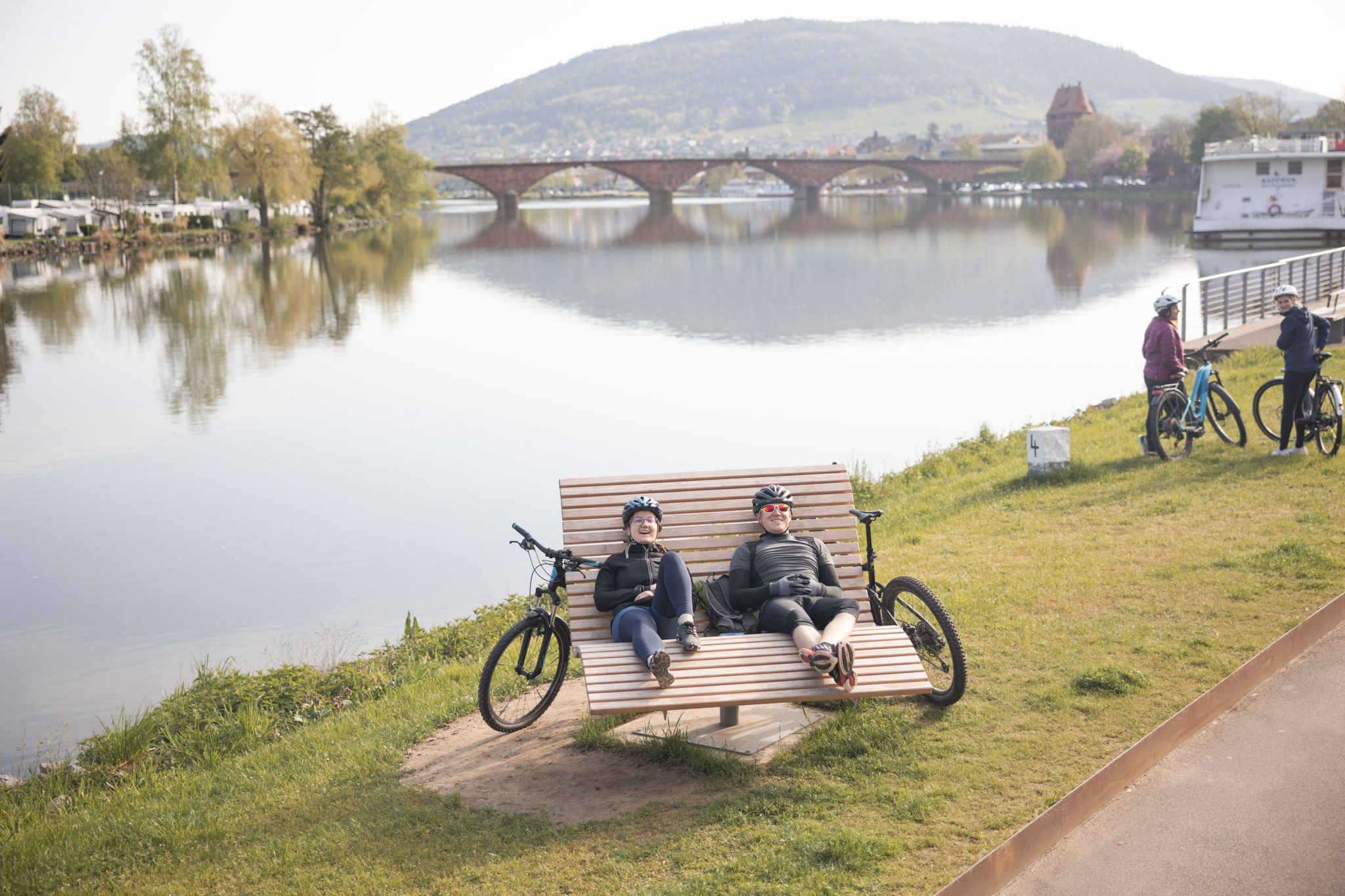
A mighty and beautiful bridge, somewhat reminiscent of the old Rhine bridge in Worms.
7
0

It looks really great and is the end or beginning of a beautiful descent or a tough climb.
0
0

beautiful building over the Main
3
0

You then get a very good idea of how devastating some floods must have been....
2
0

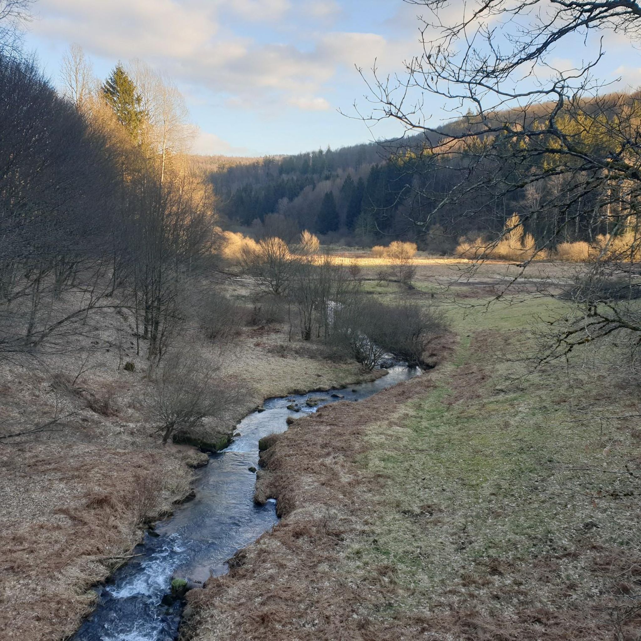
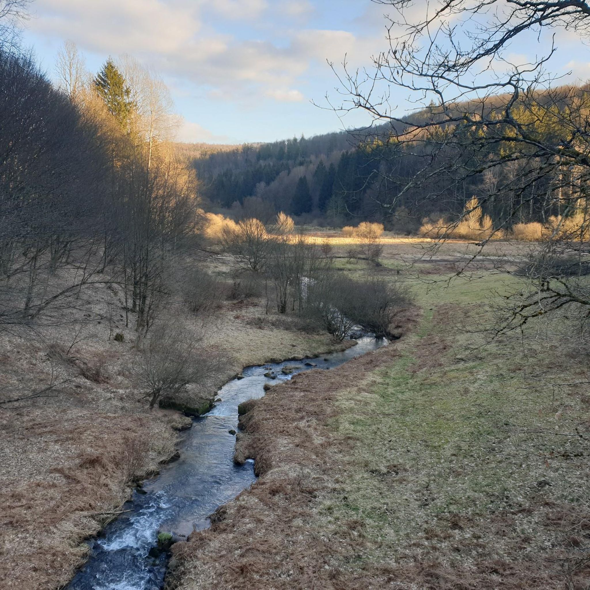
The Hafenlohr is a 26.5 km long (27.7 km including the Tiergartenbach) right tributary of the Main River in the districts of Aschaffenburg and Main-Spessart in the Bavarian Spessart region. The Hafenlohr rises from two springs in the municipality of Rothenbuch. The longer and occasionally more water-rich branch is the Tiergartenbach, which often dries up on dry days. Officially, it is considered the upper course of the Hafenlohr main watercourse. The source, known as the Hafenlohr Spring, in the center of the village provides water almost year-round. The Hafenlohr Spring is located at Rothenbuch Castle. It was encased in sandstone during the road widening of the St 2317. Its water flows northwest through the castle moat and, after about 100 meters, flows from the left bank into the bed of the Tiergartenbach, which flows from the Tiergartengrund on the northern edge of the village and is already 1.3 km[7] long. It doesn't provide water year-round, but at times it provides more than the perennial spring at the castle. The spring at the castle was probably once a meeting place for hunters in the eastern Spessart, which is why construction of a hunting lodge began here in 1342. The spring water fed the castle moat and several surrounding trout lakes, which no longer exist. Source and further information: https://de.wikipedia.org/wiki/Hafenlohr_(Fluss)
1
0
The Hafenlohr is a 26.5 km long (27.7 km including the Tiergartenbach) right tributary of the Main River in the districts of Aschaffenburg and Main-Spessart in the Bavarian Spessart region. The Hafenlohr rises from two springs in the municipality of Rothenbuch. The longer and occasionally more water-rich branch is the Tiergartenbach, which often dries up on dry days. Officially, it is considered the upper course of the Hafenlohr main watercourse. The source, known as the Hafenlohr Spring, in the center of the village provides water almost year-round. The Hafenlohr Spring is located at Rothenbuch Castle. It was encased in sandstone during the road widening of the St 2317. Its water flows northwest through the castle moat and, after about 100 meters, flows from the left bank into the bed of the Tiergartenbach, which flows from the Tiergartengrund on the northern edge of the village and is already 1.3 km[7] long. It doesn't provide water year-round, but at times it provides more than the perennial spring at the castle. The spring at the castle was probably once a meeting place for hunters in the eastern Spessart, which is why construction of a hunting lodge began here in 1342. The spring water fed the castle moat and several surrounding trout lakes, which no longer exist. Source and further information: https://de.wikipedia.org/wiki/Hafenlohr_(Fluss)
1
0

The landscape around Steinmühle is truly beautiful. This section is great for cycling and can be easily combined with various tours. The gradient (or decline, depending on the direction) is manageable and, with a maximum of 4-5% and thanks to the top-quality asphalt, is easy to manage. On Sundays, road cyclists share the road with motorcyclists. If you see a racing bike on the horizon, pull over and avoid cornering. For motorized two-wheelers, this is a real race track. Nevertheless, the highlight is the Steinmühle on the Weiberbach stream, which is worth the detour. 🤩👍🏻
0
0
The medieval town of Miltenberg is a must-see, as it is one of the most beautiful medieval towns in Germany.
4
0
Frequently Asked Questions
How many road cycling routes are available around Rothenbuch?
Rothenbuch offers a diverse network of over 40 road cycling routes. These include 7 easy routes, 30 moderate routes, and 6 challenging options, ensuring there's something for every skill level.
What kind of terrain can I expect on road cycling routes near Rothenbuch?
The region around Rothenbuch is characterized by rolling hills, deep forests, and scenic valleys within the Spessart. You'll encounter significant elevation changes, ranging from 231 meters in the Hafenlohr Valley to 470 meters on a spur of the Königsberg, providing both engaging climbs and rewarding descents. Most routes feature mostly paved surfaces, ideal for road bikes.
Are there any family-friendly road cycling routes in Rothenbuch?
Yes, Rothenbuch offers 7 easy road cycling routes that are suitable for families or those looking for a more relaxed ride. These routes typically feature gentler gradients and serene forest scenery, allowing for an enjoyable experience for all.
What are some challenging road cycling routes around Rothenbuch?
For experienced cyclists seeking a challenge, there are 6 difficult routes. One notable option is the View of Henneburg Castle – Miltenberg Bridge Gate loop from Weibersbrunn, which covers nearly 90 km with over 860 meters of elevation gain. Another demanding route is the View of Rothenfels Castle – Hafenlohrtal Nature Reserve loop from Naturpark Spessart, spanning over 64 km with 778 meters of climbing.
What is the best time of year for road cycling in Rothenbuch?
The Spessart region around Rothenbuch is beautiful throughout the warmer months. Spring and autumn offer pleasant temperatures and vibrant scenery, while summer provides longer daylight hours. The varied topography and forest cover can offer some shade on hotter days. Always check local weather conditions before heading out.
Where can I find parking for road biking routes in Rothenbuch?
Many routes around Rothenbuch, including popular loops, often start directly from the village or nearby towns. Rothenbuch Castle is a central starting point for many outdoor activities, suggesting parking facilities may be available there or in other designated areas within the village. Look for public parking lots in Rothenbuch or at the start of specific routes.
What interesting landmarks or attractions can I see along the road cycling routes?
The region is rich in sights. You might pass by historical sites like the 14th-century Rothenbuch Castle, or the Crypt chapel of St. Maria (Ingelheim burial site). Natural viewpoints such as the View of Rothenfels Castle offer stunning panoramas. The Hohewart-Haus (Hohe Warte) is another notable rustic forest house often encountered on routes.
Are there any cafes or pubs along the road cycling routes in Rothenbuch?
While specific cafes directly on every route may vary, the Spessart region is known for its charming old towns and villages. Rothenbuch itself, and nearby settlements, offer opportunities for refreshments. The Fischereihütte Inn Beer Garden is one such spot that could be a welcome stop.
What do other road cyclists enjoy most about road cycling in Rothenbuch?
The area is highly rated by the komoot community, with an average score of 4.7 stars from over 200 reviews. Cyclists often praise the tranquil forest scenery, the variety of terrain from rolling hills to challenging climbs, and the peaceful nature of the quiet roads and dedicated cycle trails, away from heavy traffic.
Can I find loop routes for road cycling in Rothenbuch?
Yes, many of the road cycling routes around Rothenbuch are designed as loops, allowing you to start and end in the same location. For example, the Hafenlohrtalstraße – Hafenlohrtal Nature Reserve loop from Rothenbuch is a popular 52.4 km moderate route, and the View of the Spessart Forest – View of the Aubach Valley loop from Neuhütten is another well-liked 34.9 km option.
What is the typical length and duration of road cycling routes in Rothenbuch?
Road cycling routes in Rothenbuch vary significantly in length and duration. You can find shorter routes like the View of the Spessart Forest – View of the Aubach Valley loop from Neuhütten, which is 34.9 km and takes about 1 hour 36 minutes. Longer routes, such as the Hafenlohrtalstraße – Hafenlohrtal Nature Reserve loop from Rothenbuch, cover 52.4 km and typically require around 2 hours 27 minutes to complete.
Most popular routes around Rothenbuch
Most popular attractions around Rothenbuch

Get inspired with the komoot mobile app


Explore more
Browse the best Road cycling routes in other regions.
