The best walks and hikes around Roth bei Prüm
4.5
(1597)
5,781
hikers
35
hikes
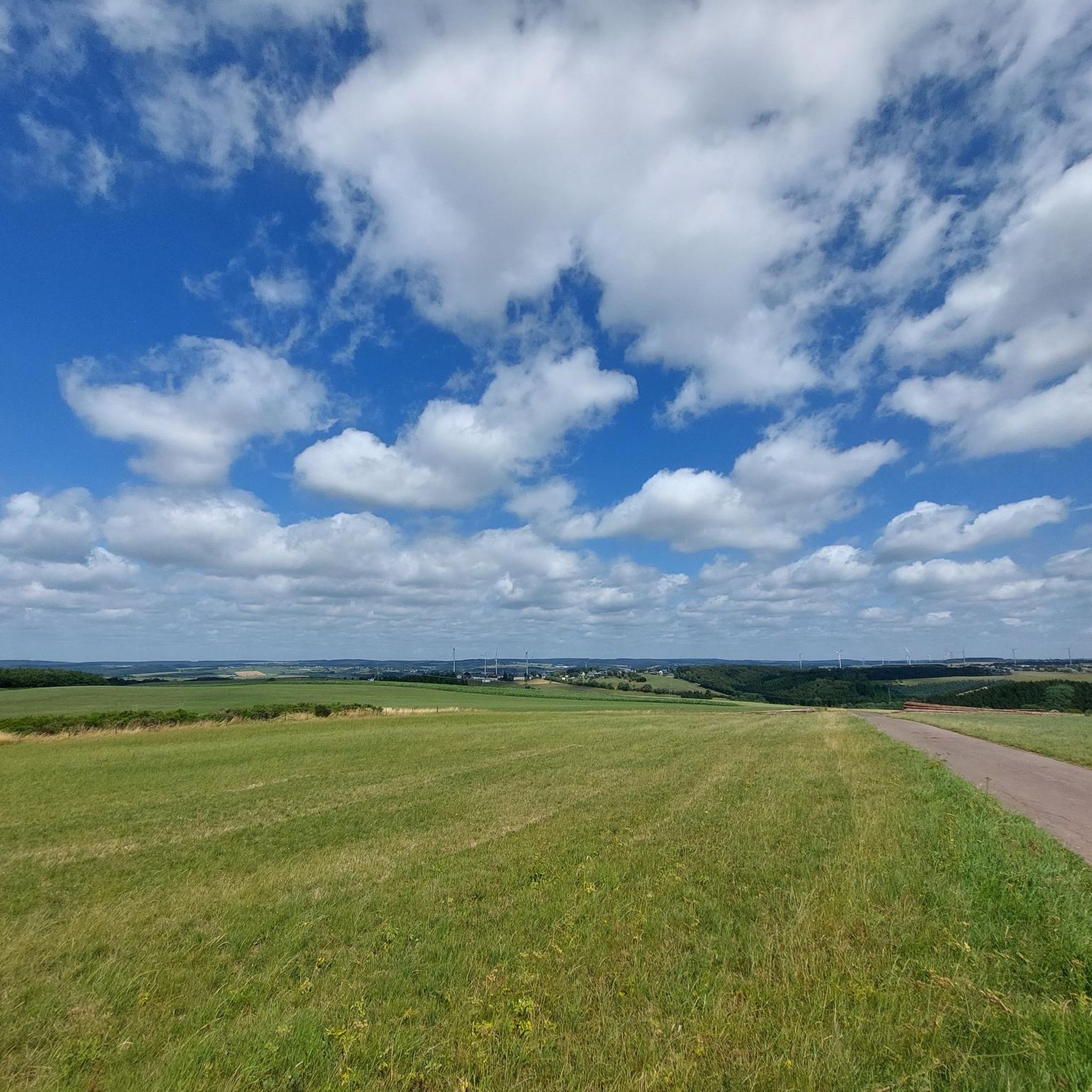
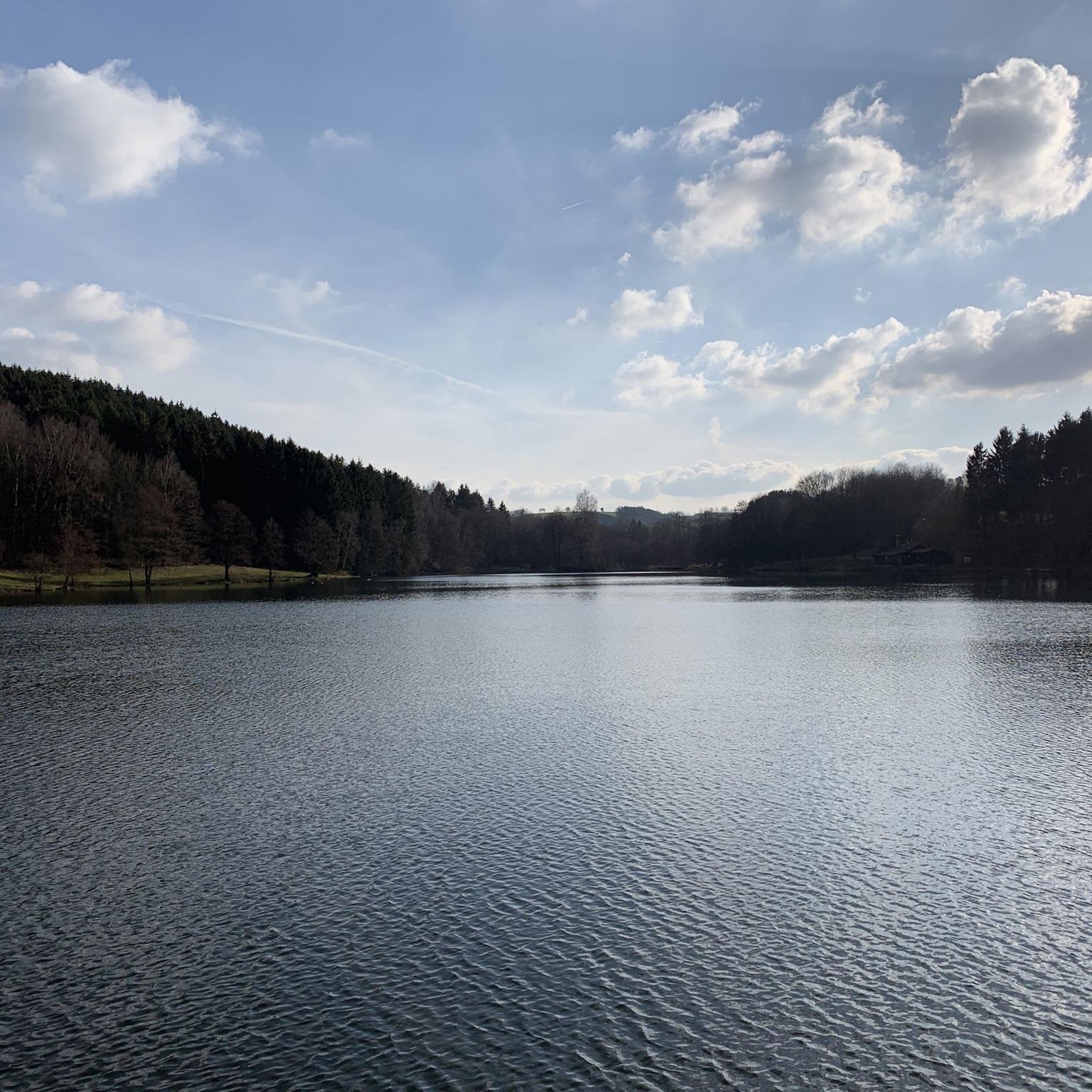
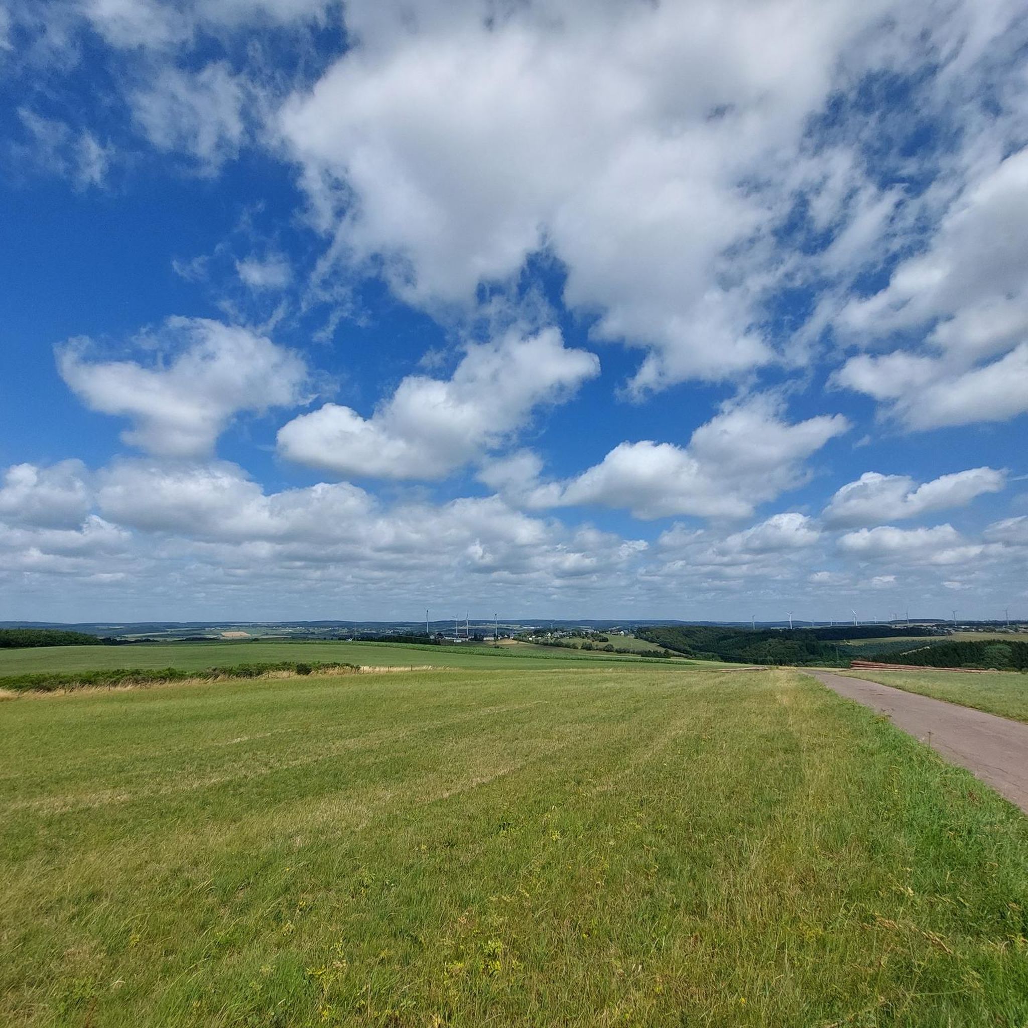
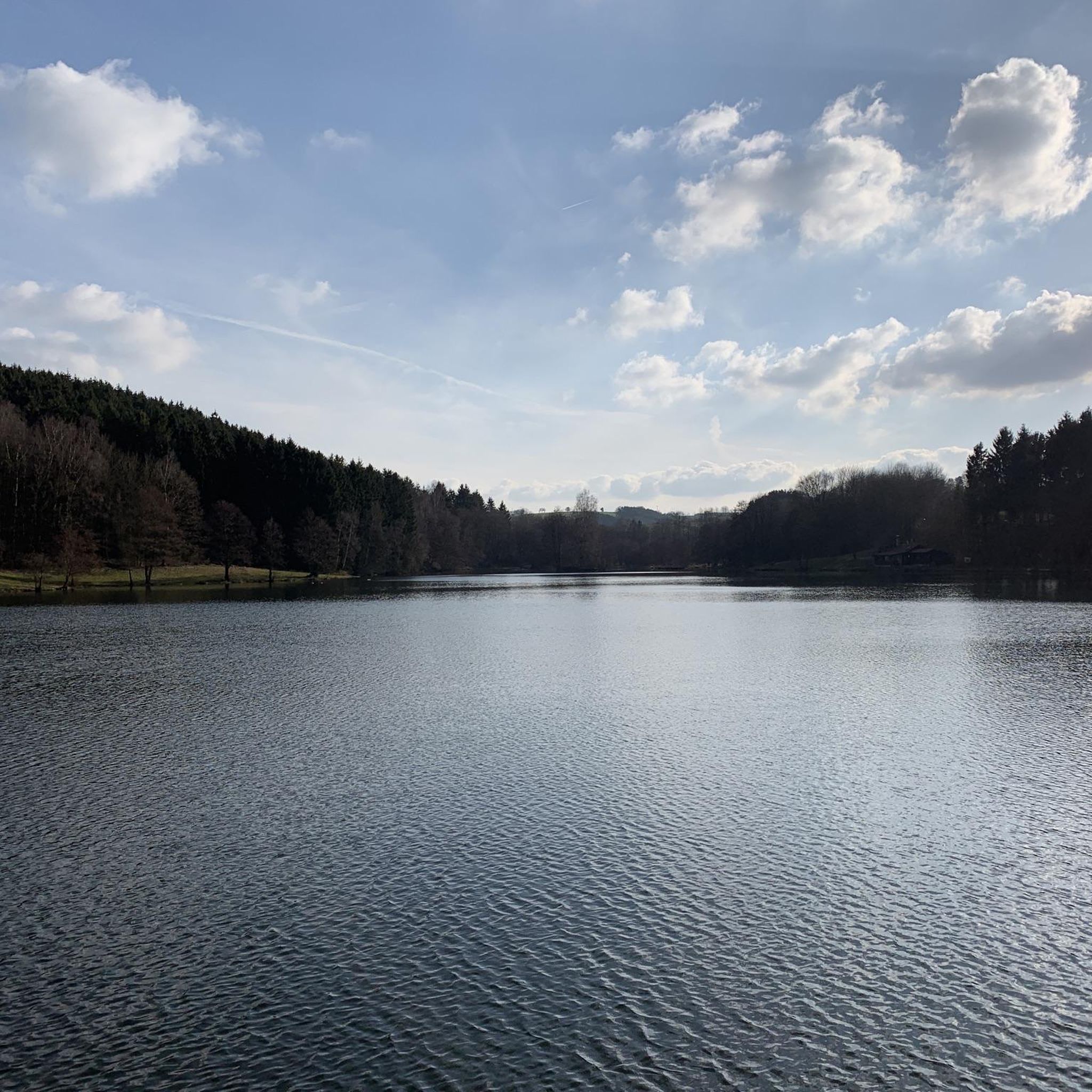
Hiking around Roth bei Prüm offers diverse landscapes within the Eifel region, characterized by rolling hills, lush forests, and picturesque valleys. The area features prominent natural features such as the Schneifel Ridge and the tranquil Our Valley. Hikers can explore varied terrain, including moor and heathland nature reserves, providing a range of experiences from gentle walks to more challenging ascents.
Best hiking trails around Roth bei Prüm
- The most popular hiking route is Schneifel Moor Trail loop from Loipenparkplatz,…
Last updated: May 18, 2026
4.4
(25)
90
hikers
10.6km
02:55
180m
180m
Moderate hike. Good fitness required. Easily-accessible paths. Suitable for all skill levels.
4.7
(19)
48
hikers
20.3km
05:32
290m
290m
Hard hike. Very good fitness required. Easily-accessible paths. Suitable for all skill levels.

Sign up for free
4.5
(13)
49
hikers
Moderate hike. Good fitness required. Easily-accessible paths. Suitable for all skill levels.
4.9
(12)
40
hikers
12.1km
03:10
100m
100m
Moderate hike. Good fitness required. Easily-accessible paths. Suitable for all skill levels.
4.5
(8)
24
hikers
7.79km
02:04
80m
80m
Moderate hike. Good fitness required. Easily-accessible paths. Suitable for all skill levels.
Get access to more routes and recommendations from other explorers.
Sign up for free
Already have an account?
Our route recommendations are based on thousands of hikes, rides, and runs completed by other people on komoot.
Start today with a free account
Your next adventure awaits.
Login or Signup

Tips from the Community

Wind turbines everywhere, absolutely everywhere. Horribly ugly. It has to be said. 🤢👎
0
0

For information on the West Wall bunkers in the Schneifel region, see, for example, the Schneifel Trail: https://kulturdb.de/einobjekt.php?id=7882
1
0
For information on the West Wall bunkers in the Schneifel region, see, for example, the Schneifel Trail: https://kulturdb.de/einobjekt.php?id=7882
0
0
For information on the West Wall bunkers in the Schneifel region, see, for example, the Schneifel Trail: https://kulturdb.de/einobjekt.php?id=7882
0
0

The term "long stone or menhir" is also known as "Hinkelstein," at least for the generation that reads its asterisks well!
0
0

Unfortunately everything is closed and you can only look from the outside
0
0

On the Way of St. James from Cologne to Trier, pilgrims or hikers reach this church in Ormont, already located in Rhineland-Palatinate. The church is dedicated to Saint Margaret (also: Margaretha). The vestibule is freely accessible and contains a pilgrim's stamp. A glass door provides a view into the nave.
6
0
Frequently Asked Questions
How many hiking trails are available in Roth bei Prüm?
Roth bei Prüm offers a diverse network of over 30 hiking trails. These routes cater to various preferences, ranging from easy strolls to more challenging, longer excursions through the Eifel landscape.
Are there hiking trails suitable for families with children?
Yes, Roth bei Prüm has several family-friendly options. The Rölchelsberg – Rohrvenn Nature Reserve loop from Roth bei Prüm is a moderate 7.8 km trail that takes you through varied terrain, including the unique Rohrvenn Nature Reserve, which can be an engaging experience for families. The barrier-free Comfort Hiking Route around the Auw Reservoir is also an excellent choice for an accessible and pleasant family outing.
What kind of natural features can I expect to see on hikes in Roth bei Prüm?
The region is rich in natural beauty. You can explore the unique moor and heath vegetation of the Rohrvenn Nature Reserve, traverse the expansive Schneifel Ridge, and discover the tranquil Our Valley. Highlights include the Schwarzer Mann Summit, the Steffelner Drees Mineral Spring, and the Weißer Stein Observation Tower, offering panoramic views.
Are there any circular hiking routes in the area?
Yes, many trails in Roth bei Prüm are circular, allowing you to start and end at the same point. A popular option is the Rother Panoramaweg, a 10-kilometer circular trail starting directly in the village center, known for its meadows, flower fields, and spectacular viewpoints. The Schneifel Moor Trail loop from Loipenparkplatz is another well-regarded circular route.
What is the best time of year to go hiking in Roth bei Prüm?
The best times to hike in Roth bei Prüm are during spring and autumn. Spring brings blooming flowers and mild weather, while autumn transforms the landscape with vibrant colors and offers pleasant temperatures for walking. Both seasons provide ideal conditions to enjoy the region's natural beauty.
Are there any historical landmarks to discover along the trails?
Yes, the region holds historical significance. You can find remnants of the historical Westwall (Siegfried Line) northeast of Roth and near Kobscheid. The View of Ormont – Ruins of a Westwall bunker loop from Loipenparkplatz and the Ruins of Westwall Bunker – Westwallweg Bunker Remains loop from Loipenparkplatz specifically incorporate these historical sites into their routes.
What are the options for easy hikes in Roth bei Prüm?
For those seeking easier walks, Roth bei Prüm offers 11 easy trails. The barrier-free comfort hiking route around the Auw Reservoir is a great choice for a relaxed experience. Additionally, many sections of the Rother Panoramaweg are relatively gentle, providing scenic views without significant elevation changes.
Can I bring my dog on the hiking trails?
Most hiking trails in Roth bei Prüm are dog-friendly, allowing you to enjoy the natural surroundings with your canine companion. It's always recommended to keep dogs on a leash, especially in nature reserves like Rohrvenn, to protect wildlife and ensure a pleasant experience for all hikers.
Are there any challenging hiking routes for experienced hikers?
Yes, for experienced hikers looking for a challenge, Roth bei Prüm offers 3 difficult trails. The View of Ormont – Ruins of a Westwall bunker loop from Loipenparkplatz is a demanding 20.3 km route with significant elevation changes, offering expansive views and historical exploration.
What do other hikers enjoy most about hiking in Roth bei Prüm?
The area is highly rated by the komoot community, with an average score of 4.5 stars from over 1500 reviews. Hikers often praise the diverse landscapes, from rolling hills and dense forests to unique moorlands, and appreciate the variety of trails suitable for different ability levels. The well-maintained paths and scenic viewpoints are frequently highlighted.
Are there any trails that lead through unique nature reserves?
Absolutely. The region is home to the Rohrvenn Nature Reserve, often described as a miniature 'Hohes Venn,' which features unique moor and heath vegetation. The Rölchelsberg – Rohrvenn Nature Reserve loop from Roth bei Prüm is a great way to explore this special area. You can also find the Hochmoor Timpel am Lambach, another significant high moor with rare plant species.
Most popular routes around Roth bei Prüm
Most popular attractions around Roth bei Prüm

Get inspired with the komoot mobile app


Explore more
Browse the best Hikes in other regions.
