The best mountain hikes around Meran - Merano
4.8
(350)
2,566
hikers
143
hikes
Mountaineering routes around Meran - Merano are characterized by a unique blend of alpine and Mediterranean landscapes, situated at the foot of the Ötztal, Stubai, and Sarentino Alps. The region is dominated by the Texel Group Nature Park, featuring 16 peaks exceeding 3,000 meters and South Tyrol's largest lake district, the Spronser Lakes. This diverse terrain offers an altitude range from approximately 800 meters in the valley basin to 3,600 meters in the high alpine, supporting varied flora from palm…
Last updated: August 17, 2026
4.7
(9)
42
hikers
12.5km
04:02
460m
460m
Moderate mountaineering route. Good fitness required. Mostly accessible paths. Sure-footedness required.
4.8
(12)
51
hikers
14.4km
06:43
1,180m
1,180m
Hard mountaineering route. Very good fitness required. Sure-footedness, sturdy shoes and alpine experience required.

Sign up for free
4.5
(6)
33
hikers
15.7km
04:38
420m
420m
Moderate mountaineering route. Good fitness required. Mostly accessible paths. Sure-footedness required.
4.7
(9)
30
hikers
11.1km
03:43
520m
520m
Moderate mountaineering route. Good fitness required. Mostly accessible paths. Sure-footedness required.
5.0
(4)
22
hikers
Moderate mountaineering route. Good fitness required. Easily-accessible paths. Suitable for all skill levels.
Get access to more routes and recommendations from other explorers.
Sign up for free
Already have an account?
Our route recommendations are based on thousands of hikes, rides, and runs completed by other people on komoot.
Start today with a free account
Your next adventure awaits.
Login or Signup
Popular around Meran - Merano
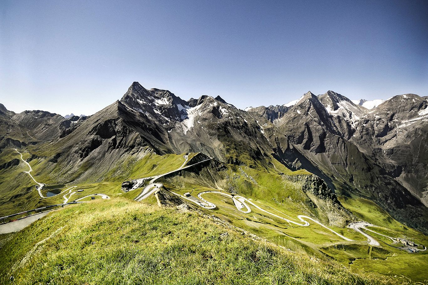
Three Peaks Bike Race — Vienna to Nice
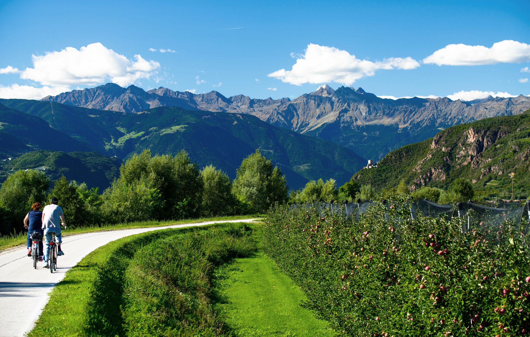
Adige Valley Cycle Path – Through South Tyrol
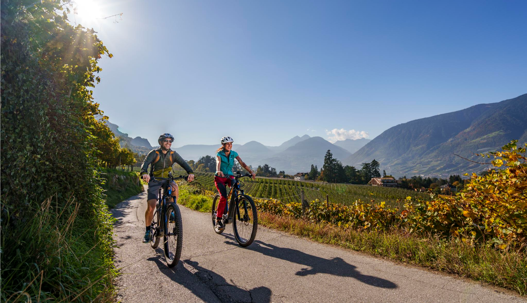
Mediterranean flair meets the Alps – superb E-Bike rides around Schenna
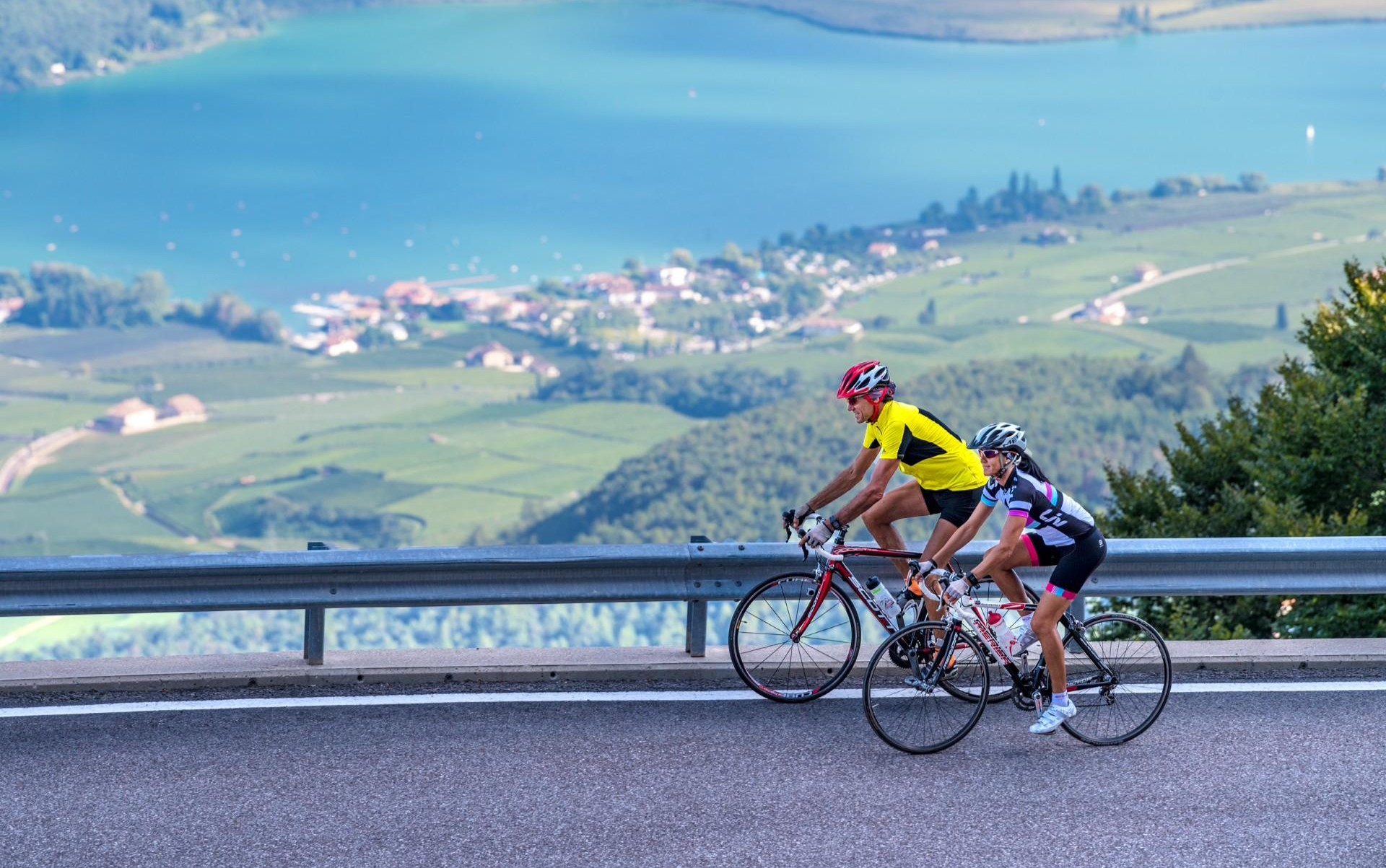
Build up your fitness in the South Tyrolean spring
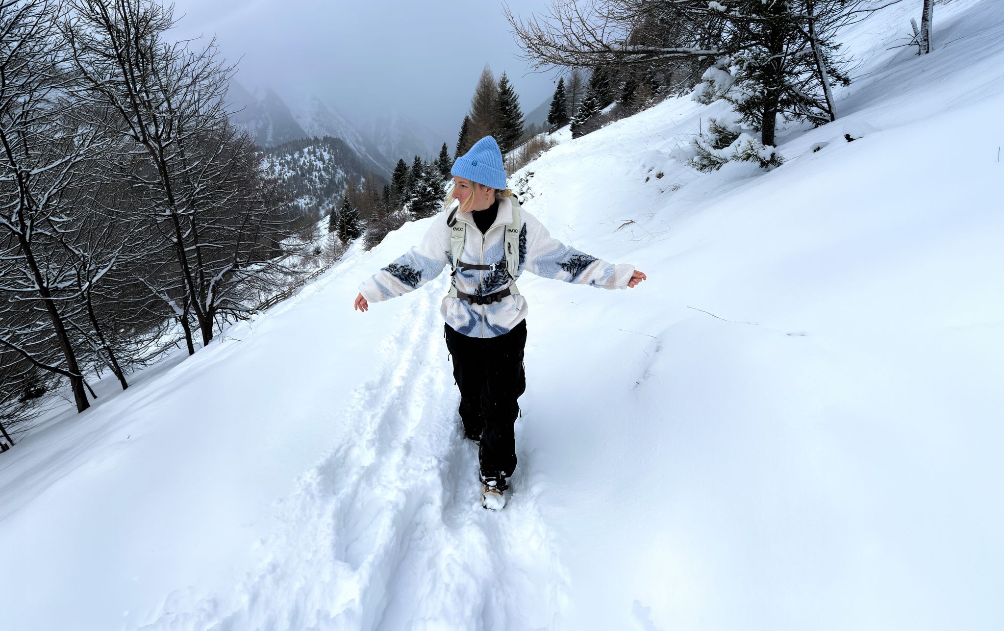
Scenic Winter Hikes around Austria
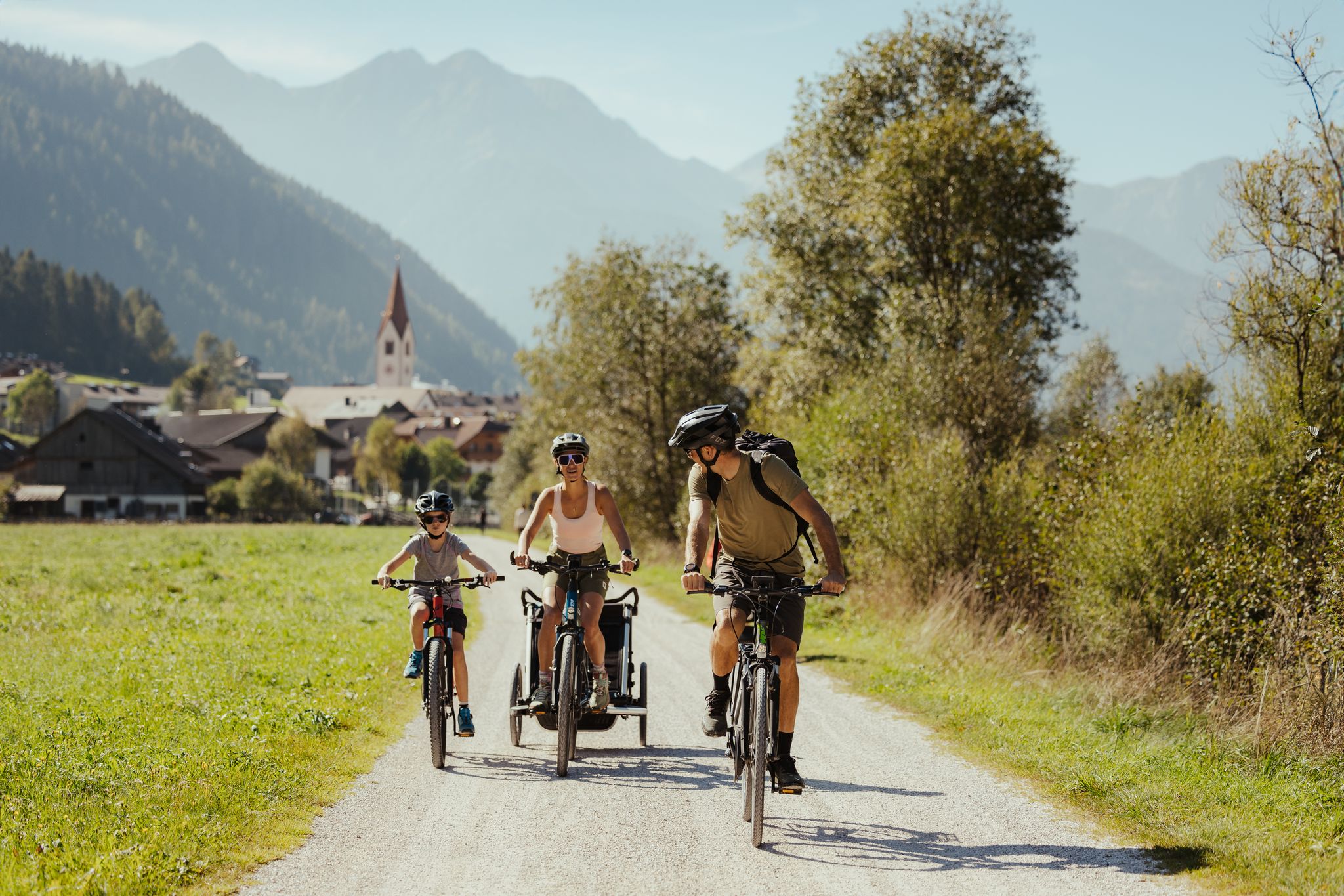
Great food, great fun and action – varied family cycling in South Tyrol
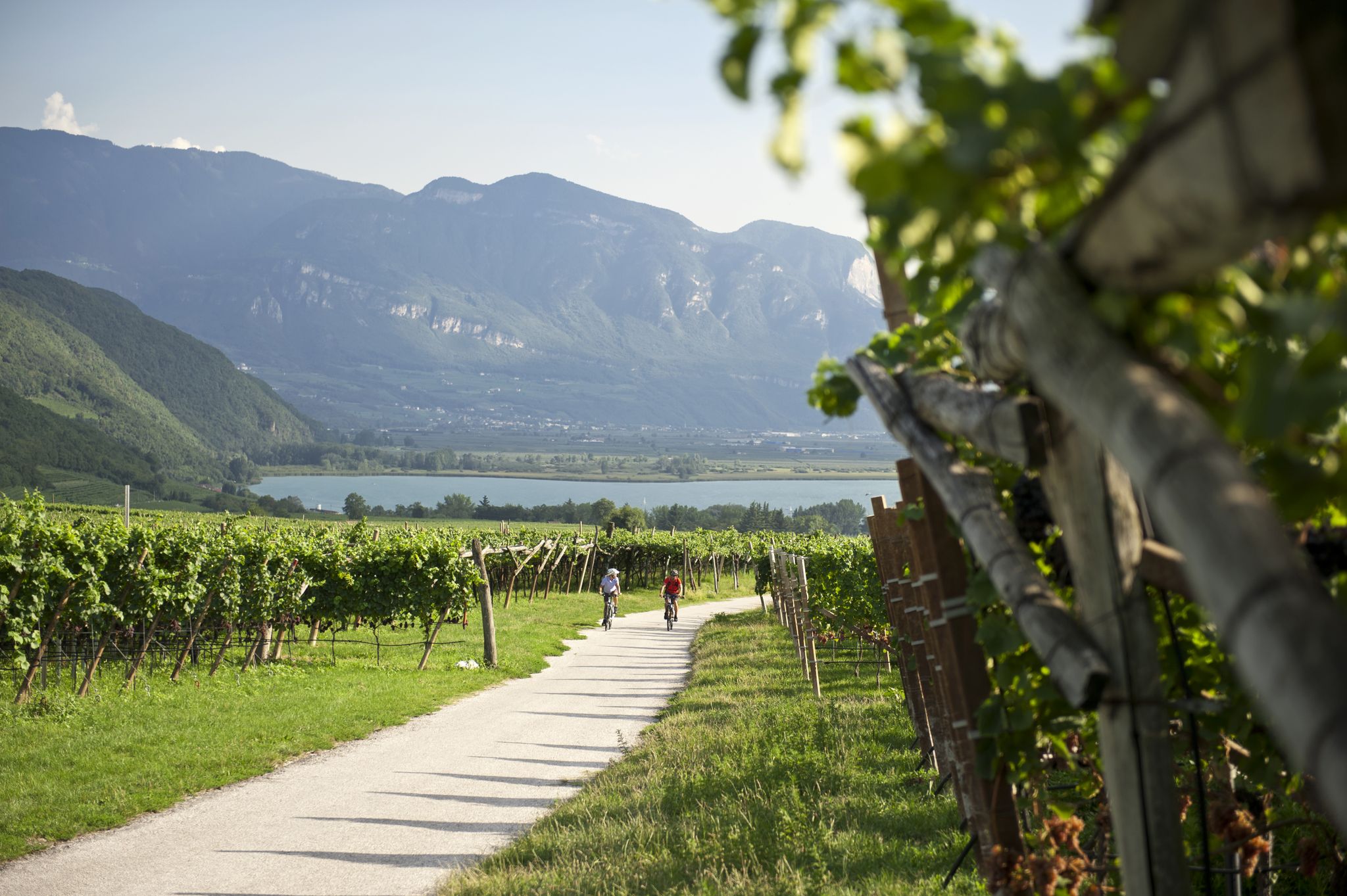
Road cycling through the vineyards of Alto Adige
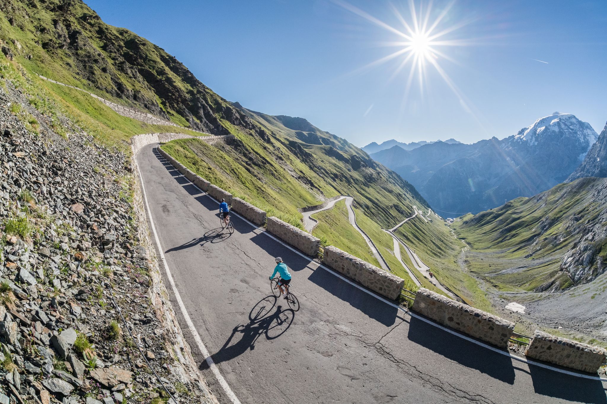
Road biking in South Tyrol
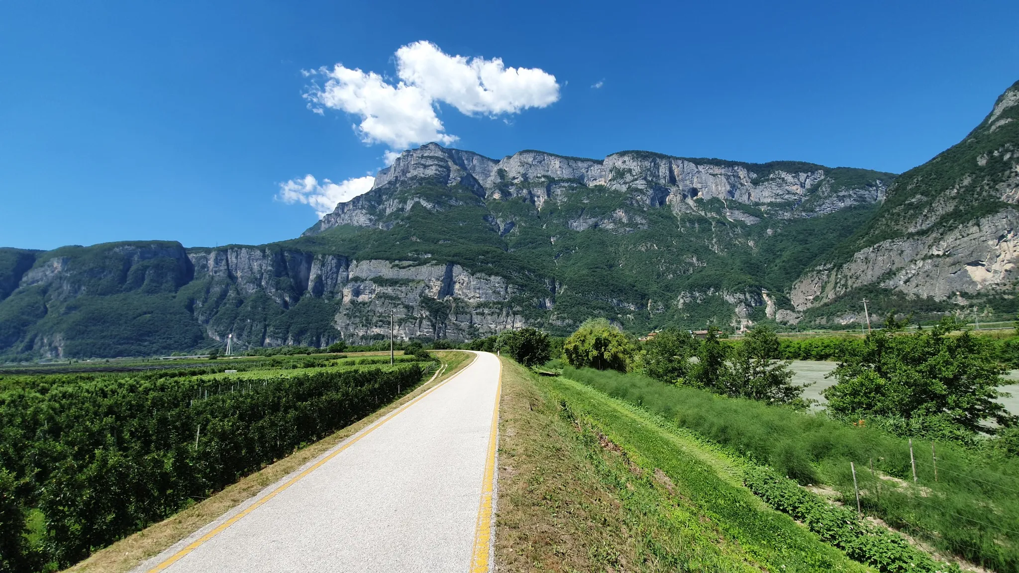
Ride a Roman road in Northern Italy – Claudia Augusta Cycle Path
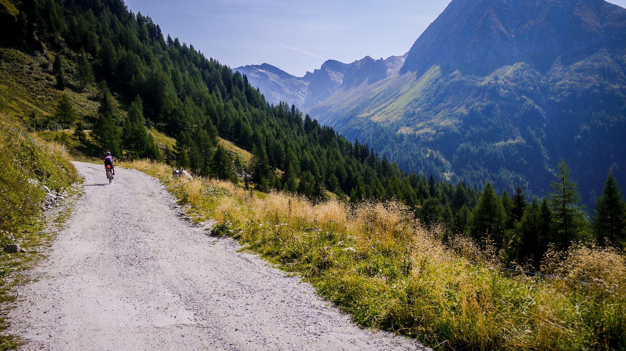
Off-road through South Tyrol – bikepacking between Austria and Italy
Other adventures around Meran - Merano


Tips from the Community

A magnificent view over almost the entire Adige Valley.
0
0

pretty here, very pretty
1
0

The park was established in 1860. In 1903, the city of Meran had a marble statue erected in the park in honor of the Austrian Empress Elisabeth. The statue was renovated in 1977.
0
0
The Algunder Waalweg is one of the most beautiful Waalwege in South Tyrol with a great panorama.
0
0

The historic canal, built in 1386, is fed by the Finelebach stream from the Texel Group. It carries water during the main season (mid-March to mid-November) and along its approximately 2km open watercourse, there is a beautifully situated hiking trail that runs parallel to the water.
4
0

is scenically wonderfully beautiful, good food, friendly service and is still open in October!
0
0

Beautiful view of Merano – especially enjoyable if you've hiked to it and aren't taking the cable car up. There are several other beautiful viewpoints in the area if it's still too crowded here.
3
0

Simply enjoy
0
0
Frequently Asked Questions
How many mountaineering routes are available around Meran - Merano?
There are nearly 160 mountaineering routes around Meran - Merano, offering a wide range of options from moderate ascents to challenging summit routes. The komoot community has explored these trails over 3,000 times, providing valuable insights and ratings.
What kind of terrain and difficulty can I expect on mountaineering routes in Meran - Merano?
The region offers a diverse range of terrain, from the mild Mediterranean climate of the valley basin to high alpine environments within the Texel Group Nature Park. You'll find routes ranging from easy walks to challenging mountain treks. For instance, there are 3 easy routes, 76 moderate routes, and 79 difficult routes. An example of a challenging route is the View of Merano and Dorf Tirol – Mutkopf Inn loop from Dorf Tirol - Tirolo, which features over 1,000 meters of elevation gain.
Are there any family-friendly mountaineering routes in Meran - Merano?
Yes, while many routes are challenging, there are options suitable for families. The region's diverse landscape includes easier paths, such as the historic Waalwege, which are ancient irrigation channels now used as walking paths. These often have gentler gradients. Always check the route details for specific difficulty ratings and elevation profiles to ensure it's appropriate for your family's experience level.
What are some notable natural features or landmarks I can see along the mountaineering routes?
Meran - Merano is rich in natural beauty and landmarks. Within the Texel Group Nature Park, you can discover the stunning Spronser Lakes, South Tyrol's largest lake district. The impressive Gorge of the 1,000 Steps and the Gilf Gorge (Gilfklamm) are also spectacular. Many routes offer incredible viewpoints, such as the View from Hochmuth of Merano and the Adige Valley or the Knottnkino on Rotsteinkogel.
Are there circular mountaineering routes available?
Yes, many routes in the Meran - Merano region are designed as loops, allowing you to start and end at the same point. A popular example is the St. Katharina in der Scharte – Meraner Hut loop from South Tyrol, a moderate 12.9 km trail. Another option is the Algunder Waalweg – Castle Tyrol loop from Merano - Meran, which combines historic paths with scenic views.
What is the best time of year for mountaineering in Meran - Merano?
The diverse climate of Meran - Merano means mountaineering is possible for much of the year, but the best time depends on the altitude and specific route. Spring (late April to June) offers lush greenery and spectacular waterfalls, while autumn (September to October) provides stable weather and vibrant fall colors. High alpine routes are best enjoyed from late June to early September, once snow has melted. Always check local weather conditions before heading out.
Can I access mountaineering routes using public transport?
Yes, Meran - Merano and its surrounding valleys are well-connected by public transport, including buses and cable cars, which can provide convenient access to many trailheads. For example, cable cars like the Merano 2000 and Hochmut cable car can quickly take you to higher altitudes, serving as excellent starting points for alpine adventures. It's advisable to check specific route starting points and local transport schedules.
Are there any routes that pass by waterfalls?
Absolutely! The region is home to several impressive waterfalls, especially during the spring snowmelt. The Texel Group Nature Park features the stunning Partschinser Waterfall, one of the most striking in the Alps. While not all mountaineering routes pass directly by it, many trails in the park offer opportunities to experience the region's abundant water features.
What do other mountaineers say about the routes in Meran - Merano?
The mountaineering routes around Meran - Merano are highly rated by the komoot community, with an average score of 4.8 stars from nearly 400 reviews. Reviewers often praise the unique blend of alpine and Mediterranean landscapes, the well-maintained trails, and the breathtaking panoramic views of the surrounding valleys and peaks.
Are there any easy mountaineering routes for beginners?
Yes, there are a few easy mountaineering routes suitable for beginners or those looking for a less strenuous experience. While the majority are moderate to difficult, you can find 3 routes classified as easy. These typically involve less elevation gain and shorter distances, allowing you to enjoy the stunning scenery without extreme physical demands. Always check the route's difficulty and elevation profile before starting.
Are there any routes that offer views of Merano city?
Many routes provide spectacular views overlooking Merano and the Adige Valley. For instance, the challenging View of Merano – Mutkopf Inn loop from Dorf Tirol - Tirolo offers extensive vistas. Additionally, viewpoints like the View of Merano from the Piffinger Köpfl are accessible via various trails, providing excellent photo opportunities of the city nestled in the valley.
What is the typical duration for mountaineering routes in this area?
The duration of mountaineering routes in Meran - Merano varies significantly based on difficulty and distance. Shorter, moderate routes like the Dorf Tirol village center – Longfall Inn loop from Dorf Tirol - Tirolo can take around 3 hours 44 minutes. More challenging routes, such as the View of Merano and Dorf Tirol – Mutkopf Inn loop from Dorf Tirol - Tirolo, can take upwards of 5 hours 45 minutes. Always check the estimated duration for your chosen route.
Most popular routes around Meran - Merano
Most popular attractions around Meran - Merano

Get inspired with the komoot mobile app


Explore more
Browse the best Mountain Hikes & Routes in other regions.
