The best cycling routes around Roßbacher Forst
4.6
(2464)
10,310
riders
413
rides
Touring cycling around Roßbacher Forst offers routes through a completely forested, unincorporated area within the district of Bad Kissingen, Bavaria. This region is characterized by dense woodlands and rolling hills, situated between the Rhön and Spessart. The surrounding landscape includes the Rhön Biosphere Reserve with its diverse natural features and the Franconian Saale River Valley, providing varied terrain for cyclists. The highest elevation in the immediate area is the Pfeffersbrunn at 517 meters above sea level.
Best touring cycling routes…
Last updated: July 1, 2026
4.3
(4)
13
riders
20.2km
01:50
190m
190m
Hard bike ride. Good fitness required. You may need to push your bike for some segments of this route.
5.0
(5)
19
riders
Hard bike ride. Good fitness required. You may need to push your bike for some segments of this route.

Sign up for free
5
riders
10.3km
00:45
210m
210m
Moderate bike ride. Good fitness required. Mostly paved surfaces. Suitable for all skill levels.
5.0
(1)
4
riders
9.95km
00:50
150m
150m
Moderate bike ride. Good fitness required. Mostly paved surfaces. Suitable for all skill levels.
5.0
(2)
6
riders
9.71km
00:41
100m
100m
Easy bike ride. Great for any fitness level. Mostly paved surfaces. Suitable for all skill levels.
Get access to more routes and recommendations from other explorers.
Sign up for free
Already have an account?
Our route recommendations are based on thousands of hikes, rides, and runs completed by other people on komoot.
Start today with a free account
Your next adventure awaits.
Login or Signup

Tips from the Community

Interesting
4
0
A nice rest area with repair station
4
0
A very nice bike path
5
0
A nice resting place
4
0
Located next to the bike path
4
0
A very nice bike path
4
0
Frequently Asked Questions
How many touring cycling routes are available in the Roßbacher Forest area?
There are over 420 touring cycling routes around Roßbacher Forest documented on komoot. These routes offer a wide variety of experiences, from easy rides to more challenging adventures through the region's dense woodlands and rolling hills.
What is the general difficulty level of touring cycling routes in Roßbacher Forest?
The routes around Roßbacher Forest cater to various fitness levels. You'll find a good mix, with approximately 75 easy routes, 184 moderate routes, and 169 difficult routes. This variety ensures that both casual riders and those seeking more athletic challenges can find suitable paths.
Are there any family-friendly touring cycling routes in the Roßbacher Forest region?
Yes, the area offers several family-friendly options, particularly those that follow former railway lines, which tend to be flatter and easier. The broader Rhön region, where Roßbacher Forest is situated, is known for its well-developed bike paths suitable for various ages. Look for routes marked as 'easy' on komoot, such as the Weissenbach Tower – Bench at Schlosspark loop from Roßbach, which is an easy 9.7 km ride.
Are there any circular touring cycling routes around Roßbacher Forest?
Yes, many routes in the area are designed as loops, allowing you to start and end at the same point. For example, the Rhönexpress Rail Trail – View of the Rhön from Roßbach loop from Roßbach is a moderate 10.3 km circular route that takes you through the Rhön region. Another option is the Bench at Schlosspark – View of the Rhön from Roßbach loop from Roßbach, a moderate 9.9 km loop.
What kind of landscapes can I expect to see while touring cycling in Roßbacher Forest?
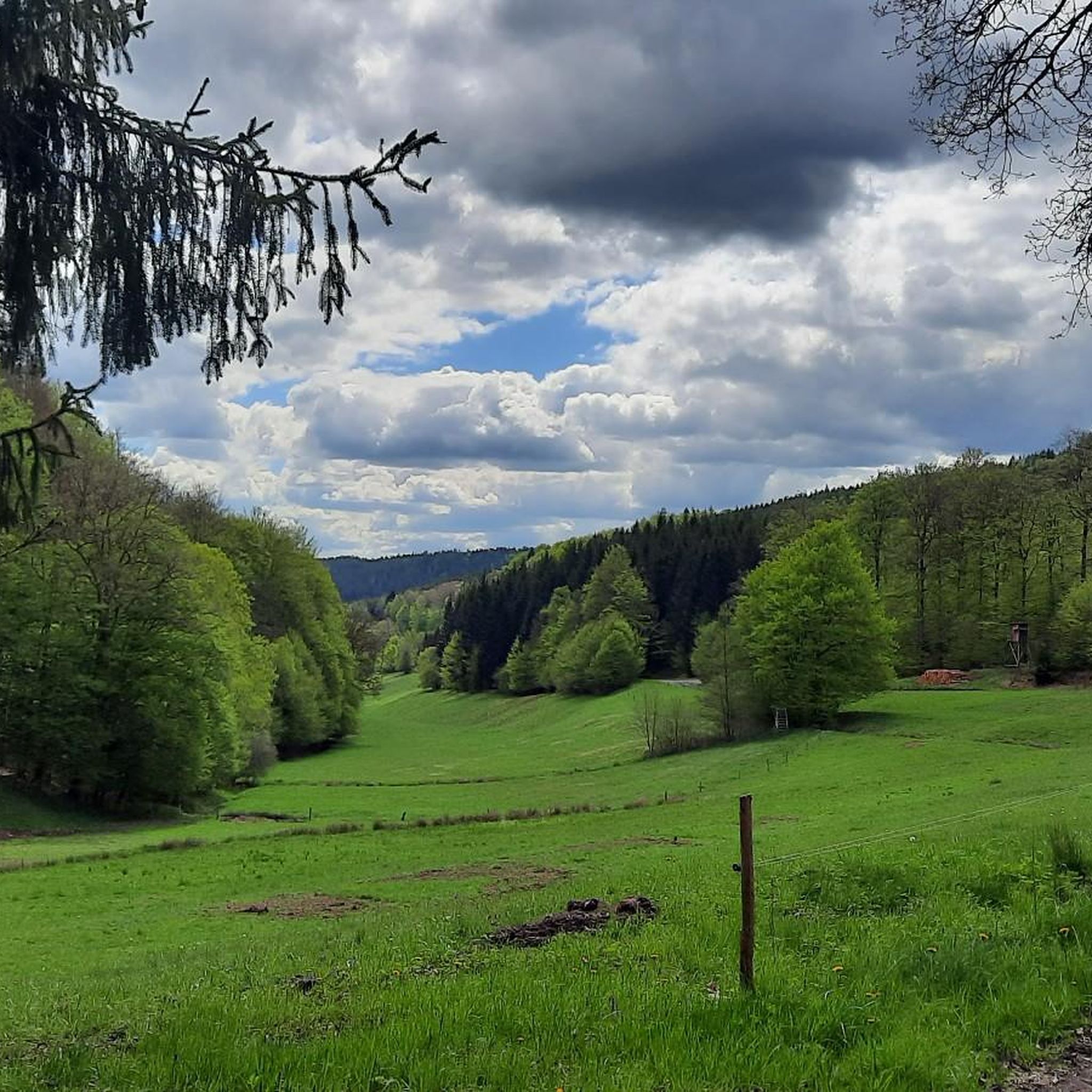
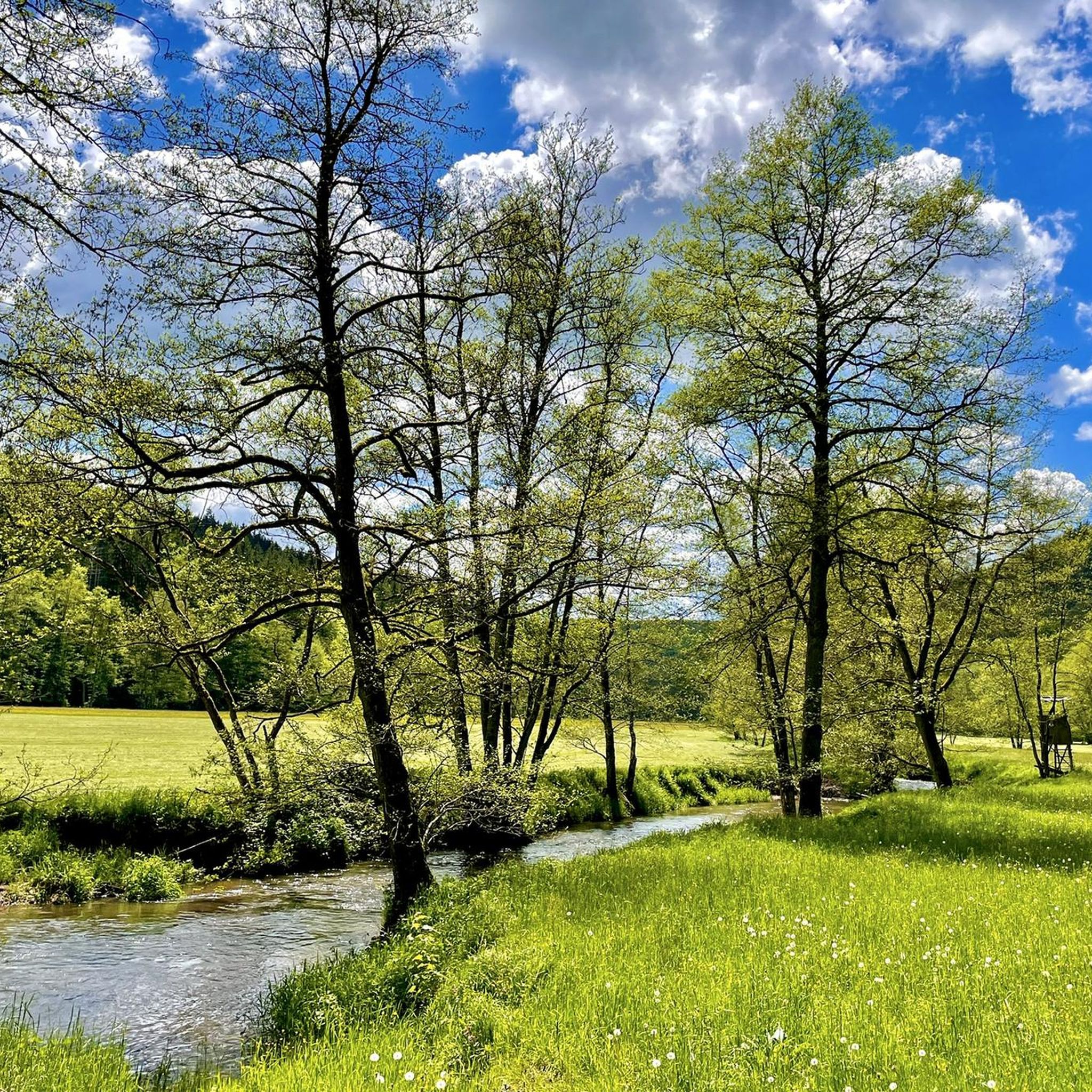
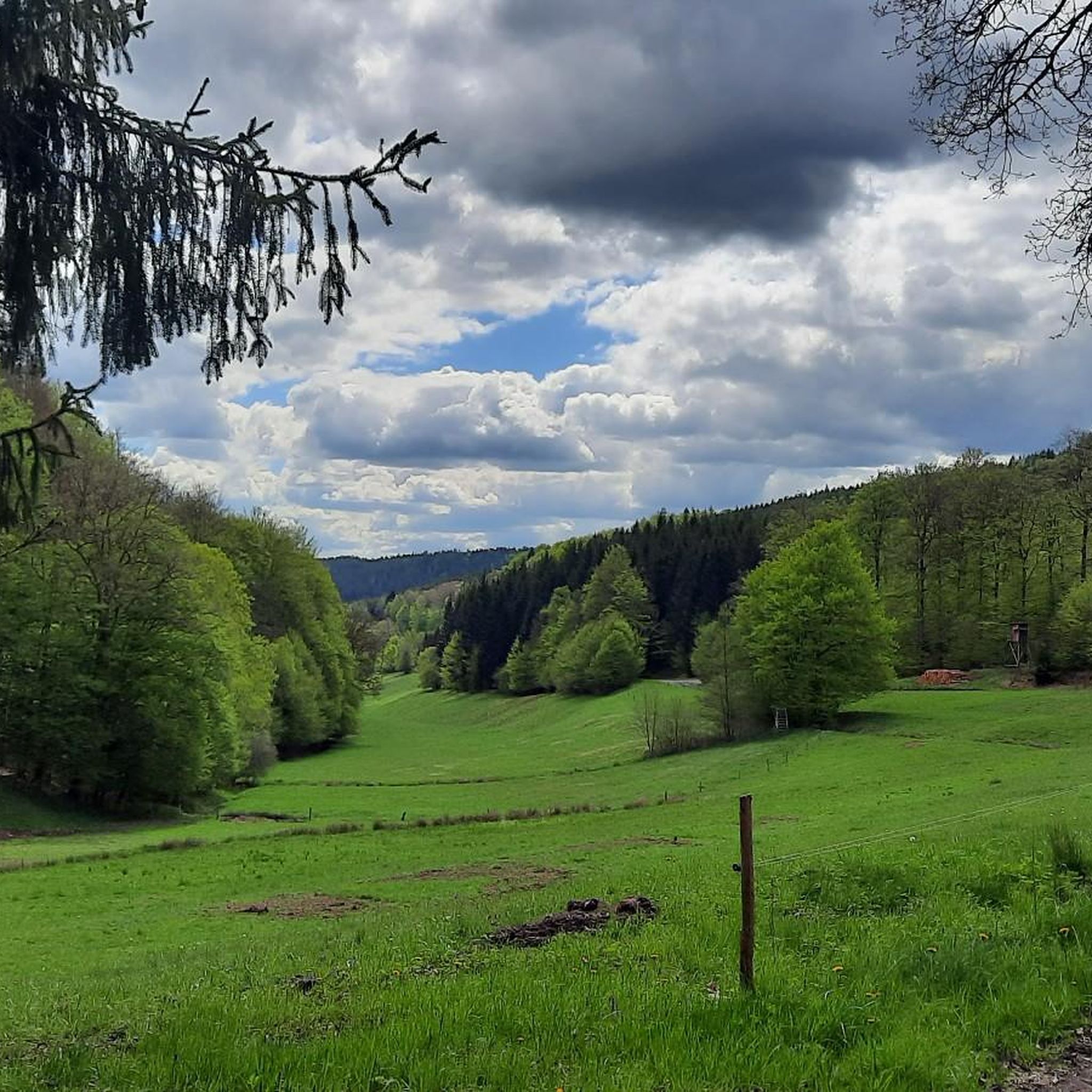
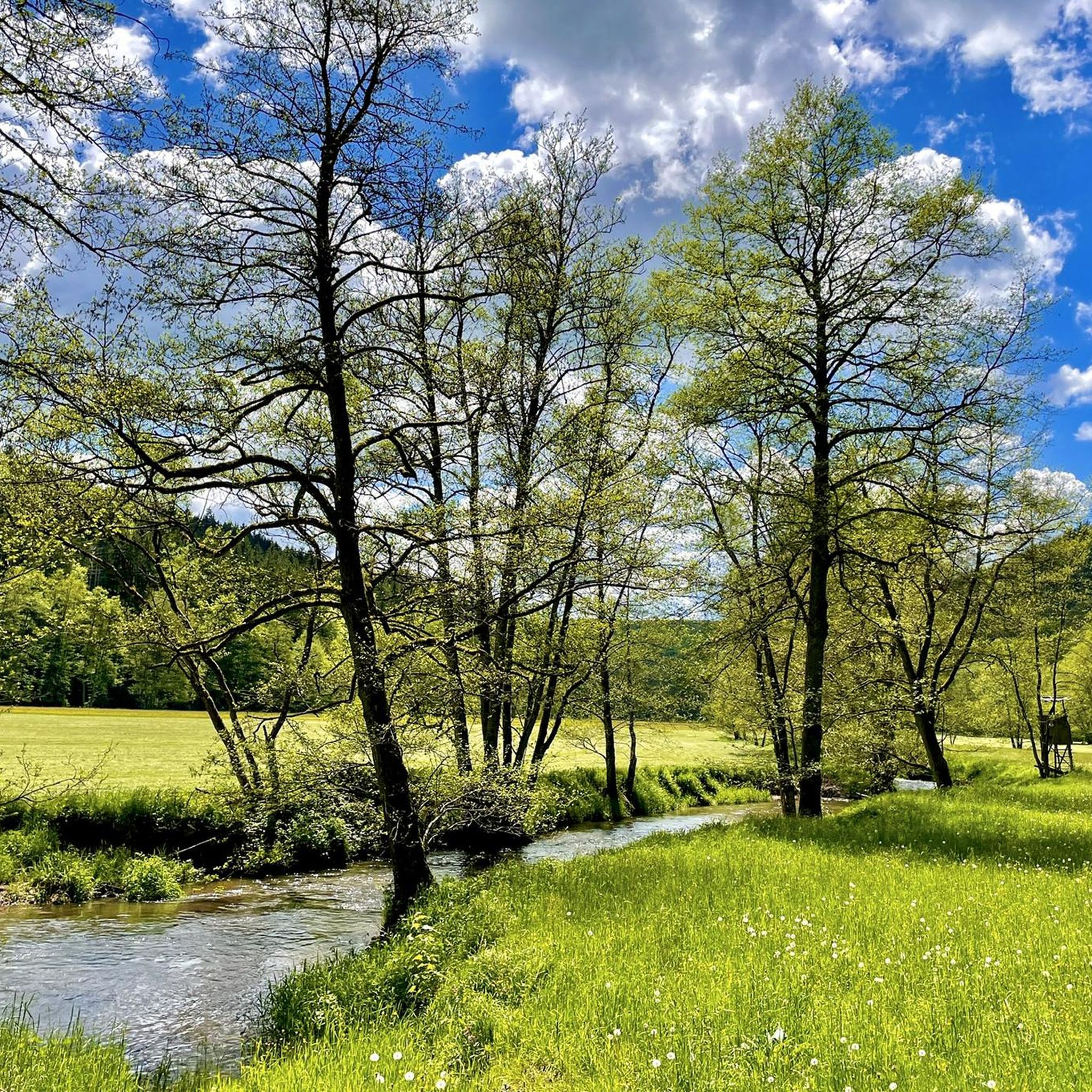
Roßbacher Forest is characterized by dense woodlands and rolling hills. As part of the Rhön Biosphere Reserve, you'll experience a preserved natural environment with impressive hills, romantic valleys, and extensive forests. The nearby Franconian Saale river valley also offers picturesque routes through varied river and meadow landscapes, often passing by castles and even wine-growing areas.
What do other touring cyclists enjoy most about the routes in Roßbacher Forest?
The area is highly rated by the komoot community, with an average score of 4.6 stars from over 2200 reviews. Reviewers often praise the tranquil, forested terrain, the diverse landscapes of the Rhön, and the well-maintained paths that offer a blend of natural beauty and varied challenges.
Are there any specific viewpoints or attractions along the touring cycling routes?
While Roßbacher Forest itself is primarily a natural, forested area, its location within the Rhön and close to the Franconian Saale river means there are many points of interest. Cyclists can enjoy breathtaking distant views across the Rhön landscape, explore charming villages, and encounter historical landmarks like Schwarzenfels Castle in the broader vicinity. The Franconian Saale river routes also pass by majestic castles.
What is the best time of year for touring cycling in Roßbacher Forest?
The region is generally pleasant for cycling from spring through autumn. The dense woodlands provide ample shade during warmer months, and the changing foliage in autumn offers beautiful scenery. While specific winter touring routes are not highlighted, the area's natural beauty can be enjoyed in different seasons, though weather conditions should always be checked.
Is public transport accessible for reaching touring cycling routes in Roßbacher Forest?
The Bad Kissingen district, which encompasses Roßbacher Forest, is part of a region with a comprehensive network of cycling paths. While direct public transport access to every trailhead within the forest might be limited, the broader Rhön area has infrastructure that supports cycling tourism. It's advisable to check local public transport options for specific starting points near towns like Zeitlofs or Roßbach.
Where can I find parking for touring cycling routes in Roßbacher Forest?
Parking is generally available in and around the villages bordering Roßbacher Forest, such as Roßbach or Heiligkreuz, which serve as common starting points for many routes. For example, routes like the Rhönexpress Rail Trail – View of the Rhön from Roßbach loop from Roßbach often have parking facilities nearby in Roßbach.
Are there any longer touring cycling routes for experienced cyclists?
Yes, for experienced cyclists seeking longer rides, there are several challenging options. The Heiligkreuz Fish Ponds – Heiligkreuz Church loop from Heiligkreuz is a difficult 39.7 km path that offers an extended exploration of the local woodlands and water features, with significant elevation changes.
Most popular routes around Roßbacher Forst
Most popular attractions around Roßbacher Forst

Get inspired with the komoot mobile app


Explore more
Browse the best Cycling routes in other regions.
