The best walks and hikes around Laurein - Lauregno
4.6
(953)
4,970
hikers
39
hikes
Hiking around Laurein - Lauregno offers a diverse landscape in the Upper Val di Non, South Tyrol. The region extends from the Maddalene Mountain Chain to the Adamello-Presanella Group, featuring alpine paths, marmot meadows, forests, and prairies. This varied terrain provides a range of hiking experiences, from gentle walks through valleys to more challenging ascents in mountainous areas.
Best hiking trails around Laurein - Lauregno
- The most popular hiking route is Großer Kornigl Summit Trail through Marmot Meadows (via Trail…
Last updated: July 5, 2026
5.0
(1)
1
hikers
7.76km
02:59
490m
500m
Hard hike. Good fitness required. Sure-footedness, sturdy shoes and alpine experience required.
4.7
(87)
431
hikers
6.79km
02:18
290m
290m
Moderate hike. Good fitness required. Mostly accessible paths. Sure-footedness required.

Sign up for free
4.9
(27)
186
hikers
4.34km
01:16
120m
120m
Easy hike. Great for any fitness level. Easily-accessible paths. Suitable for all skill levels.
4.7
(24)
173
hikers
Hard hike. Good fitness required. Sure-footedness, sturdy shoes and alpine experience required.
5.0
(30)
153
hikers
Hard hike. Very good fitness required. Mostly accessible paths. Sure-footedness required.
Get access to more routes and recommendations from other explorers.
Sign up for free
Already have an account?
Our route recommendations are based on thousands of hikes, rides, and runs completed by other people on komoot.
Start today with a free account
Your next adventure awaits.
Login or Signup

Tips from the Community

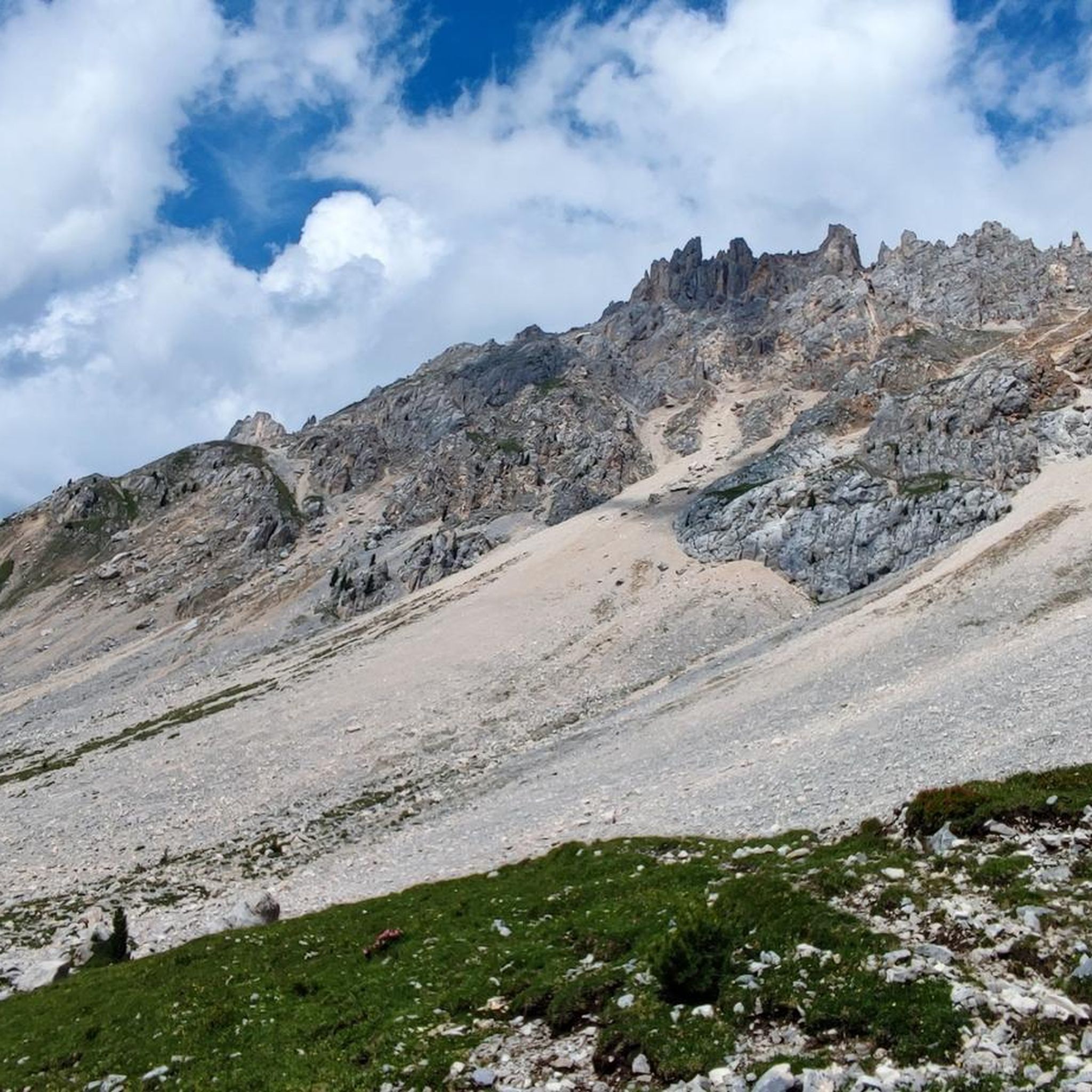
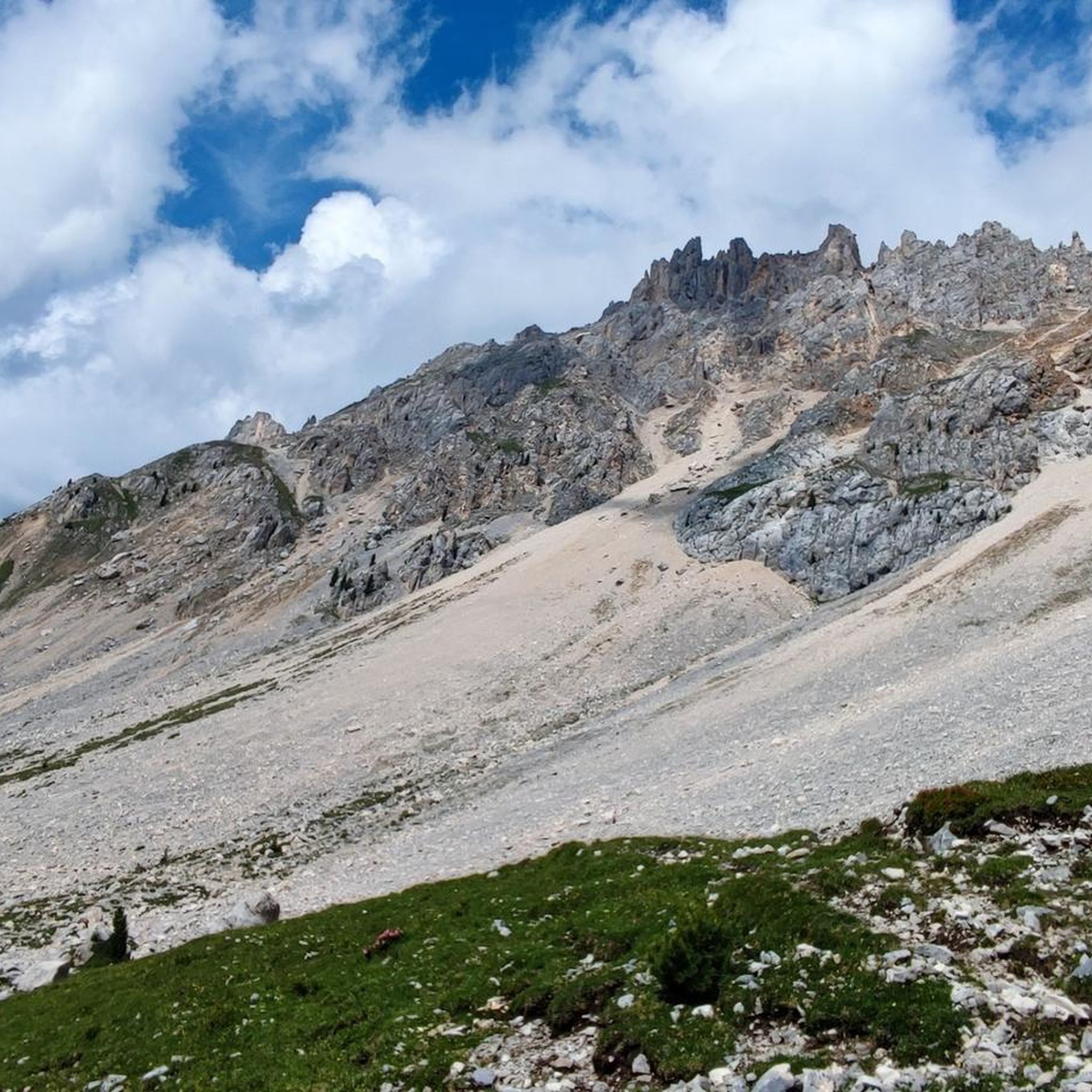
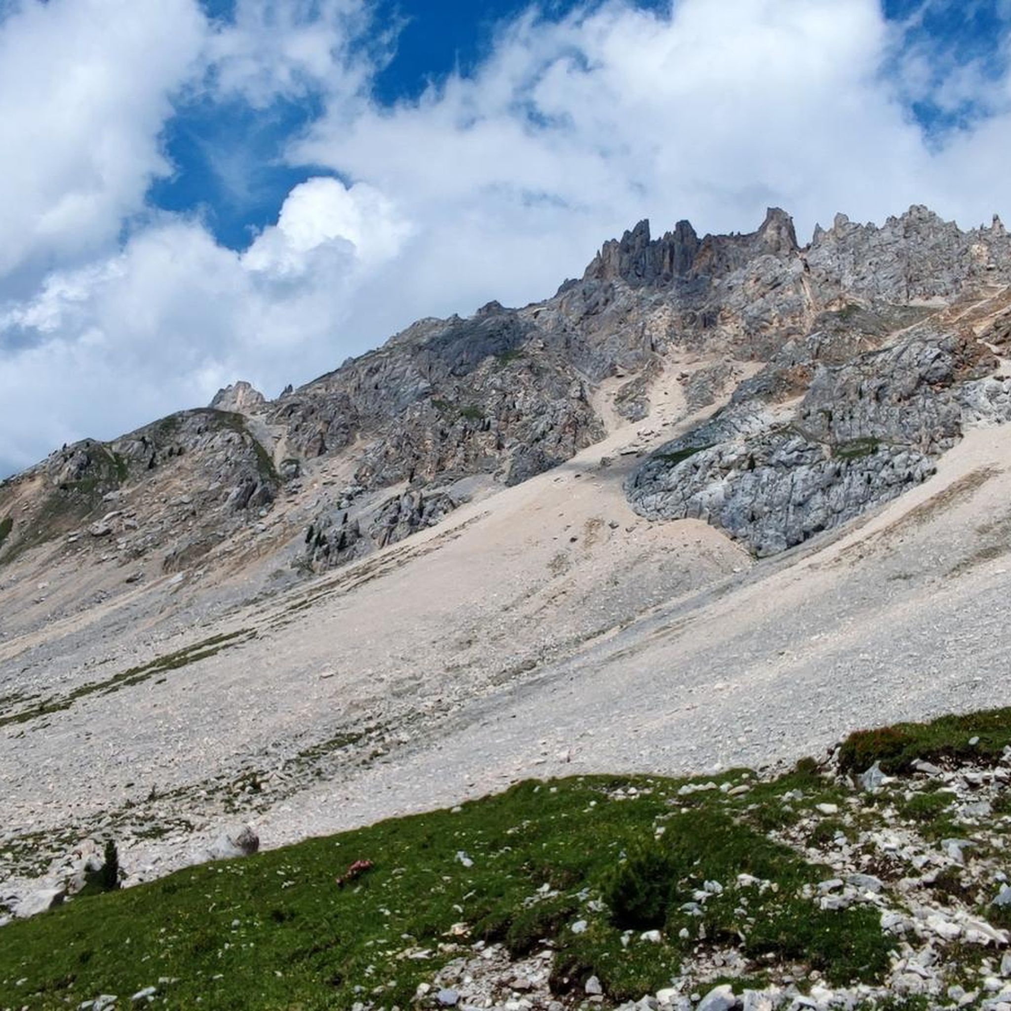
The Laugenspitze (Italian: Monte Luco) at 2,434 meters is the highest mountain in the Nonsberg Group in South Tyrol. The striking porphyry double peak consists of the Große Laugen (2,434 m) and the Kleine Laugen (2,297 m), which are separated by the picturesque Laugensee (2,182 m). Due to its freestanding location, it offers an excellent viewing platform over the Etschtal valley, the Meraner Land region, the Vinschgau valley, and as far as the Dolomites.
0
0

Wonderful view, children's playground, very good food
0
0

Great view, delicious Kaiserschmarrn
0
0

Kaiserschmarrn top, atmosphere great, schnapps great!
0
0

The Kessel mountain hut is located in the upper Val di Non, along the Bonaccossa path...
0
0
Frequently Asked Questions
How many hiking trails are available in Laurein - Lauregno?
Laurein - Lauregno offers a diverse network of over 35 hiking trails. These routes traverse varied terrain, from alpine paths and marmot meadows to dense forests and prairies, providing options for all preferences.
Are there hiking options for all skill levels in Laurein - Lauregno?
Yes, the region caters to all fitness levels. You'll find 6 easy hikes, suitable for up to two hours with minimal elevation gain. For those with good basic fitness, there are 21 moderate trails, lasting up to five hours. Experienced hikers can challenge themselves with 10 difficult routes, which are longer and involve significant elevation changes.
What kind of landscapes can I expect to see while hiking in Laurein - Lauregno?
The landscape is incredibly diverse, ranging from the majestic Maddalene Mountain Chain to views of the Adamello-Presanella Group. You'll hike through alpine paths, expansive marmot meadows, lush forests, and open prairies. Spring is particularly beautiful with vibrant flora.
Are there any circular hiking routes in the area?
Yes, many trails in Laurein - Lauregno are designed as loops. For example, the Untere Kesselalm – Obere Kesselalm loop from Passo Castrin - Hofmahdjoch is a popular moderate option, and the Untere Kesselalm – Revò Hut loop from Passo Castrin - Hofmahdjoch offers an easier circular experience.
What are some notable viewpoints or natural features to discover on the trails?
Hikers can enjoy panoramic views from destinations like "Auf der Höhe" and "Steinmandl" (Monte Ori and Monte Pòpi), offering vistas of the Maddalene range and the Dolomites. The Großer Kornigl Summit Trail leads through marmot meadows to a summit with spectacular views. Additionally, you can find natural monuments such as Lake Luco and the Klapfberg Waterfall.
Are there any waterfalls in the vicinity of Laurein - Lauregno?
Yes, the region features several beautiful waterfalls. The Klapfberg Waterfall and the Tret Waterfall are popular natural attractions that can be incorporated into your hiking plans.
Is Laurein - Lauregno suitable for family-friendly hikes?
Absolutely. The region offers several easy trails that are perfect for families. These paths are generally accessible and shorter, allowing for enjoyable outings with children. The diverse scenery ensures there's always something interesting to see.
Can I bring my dog on the hiking trails?
Many trails in Laurein - Lauregno are dog-friendly, allowing you to explore the beautiful natural surroundings with your canine companion. It's always recommended to keep dogs on a leash and adhere to local regulations, especially in protected areas or near livestock.
Where can I park when starting a hike in Laurein - Lauregno?
A common starting point for many hikes is Passo Castrin (Hofmahdjoch), where a large car park is available. This central location provides access to various paths leading in different directions, including the Hofmahd Parking Lot – Old Clozalm loop.
Are there mountain huts or places to eat along the trails?
Yes, the Laureiner Alm (Malga Lauregno) is a popular mountain hut located at nearly 1,800 meters above sea level. It serves South Tyrolean dishes and homemade cakes during the summer months, making it an excellent stop for refreshments during your hike. Trails like number 26 lead directly to it.
What do other hikers enjoy most about Laurein - Lauregno?
The area is highly rated by the komoot community, with an average score of 4.7 stars from over 900 reviews. Hikers often praise the diverse terrain, the stunning panoramic views, and the well-maintained paths that cater to various skill levels.
Is it possible to hike in Laurein - Lauregno during winter?
Yes, Laurein - Lauregno offers winter hiking opportunities. The forest trails transform into snow-covered paths, ideal for winter walks. Higher elevations are also suitable for snowshoeing and ski tours, providing a different perspective of the landscape.
Most popular routes around Laurein - Lauregno
Most popular attractions around Laurein - Lauregno

Get inspired with the komoot mobile app


Explore more
Browse the best Hikes in other regions.
