The best mountain hikes around Rumo
4.8
(109)
664
hikers
29
hikes
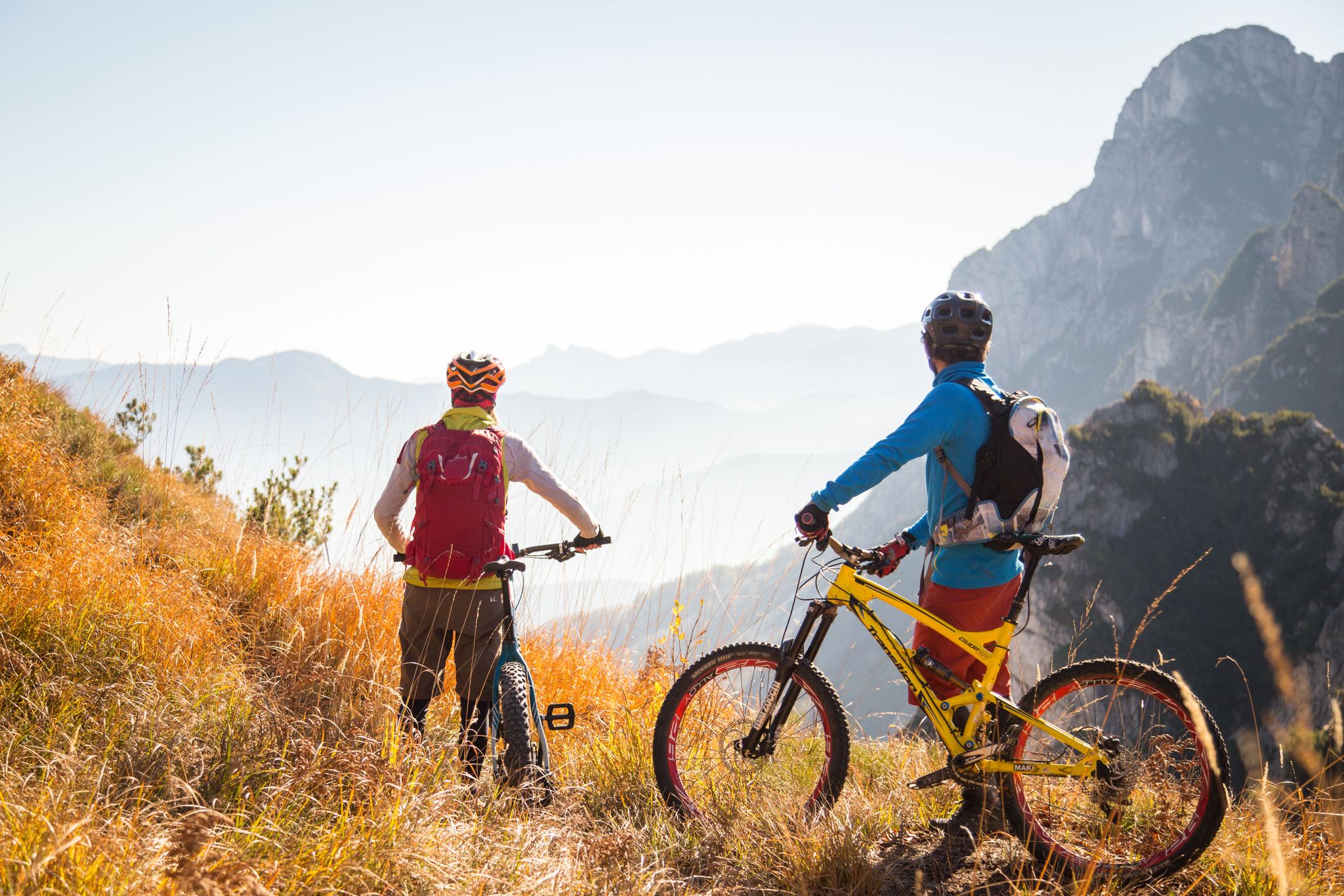
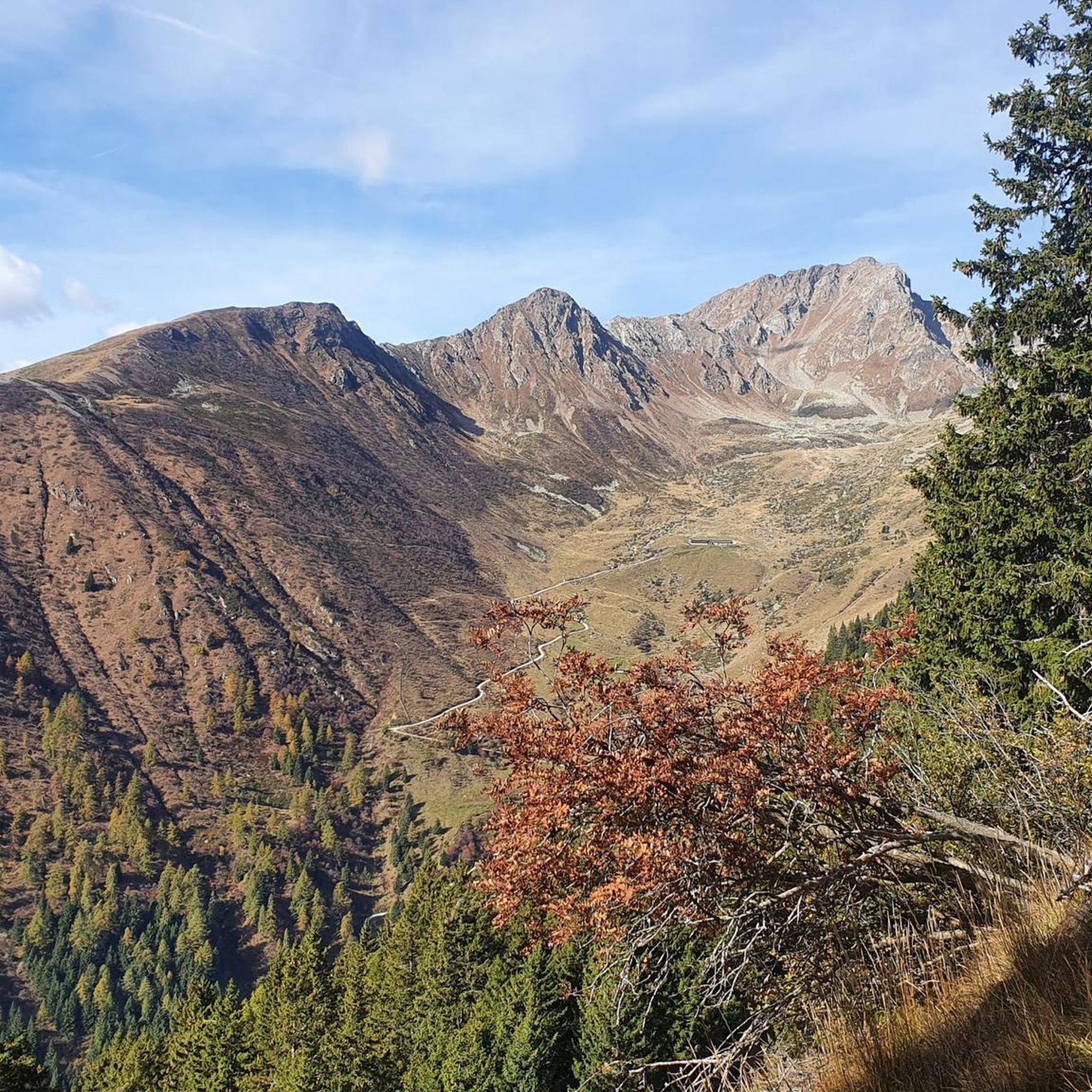
Mountaineering routes around Rumo, located in the Trentino region of Italy, offer access to the rugged landscapes of the Maddalene Group. This area is characterized by alpine peaks, high mountain passes, and a mix of rocky terrain and coniferous forests. The routes provide opportunities to explore elevated ridges and enjoy expansive views across the surrounding valleys.
Best mountaineering routes around Rumo
- The most popular mountaineering route is Spitzner Kornigl Summit – Schöngrubspitze loop from Passo Castrin - Hofmahdjoch, a…
Last updated: November 4, 2026
5.0
(4)
20
hikers
11.7km
05:56
960m
960m
Hard mountaineering route. Very good fitness required. Sure-footedness, sturdy shoes and alpine experience required.
5.0
(1)
21
hikers
Hard mountaineering route. Very good fitness required. Mostly walkable paths. Sure-footedness required.

5.0
(3)
19
hikers
7.82km
03:53
670m
670m
Hard mountaineering route. Good fitness required. Sure-footedness, sturdy shoes and alpine experience required.
5.0
(1)
16
hikers
Hard mountaineering route. Good fitness required. Sure-footedness, sturdy shoes and alpine experience required.
5.0
(6)
11
hikers
Hard mountaineering route. Very good fitness required. Mostly walkable paths. Sure-footedness required.
Get access to more routes and recommendations from other explorers.
Already have an account?
Our route recommendations are based on thousands of hikes, rides, and runs completed by other people on komoot.
Start today with a free account
Your next adventure awaits.


Tips from the Community

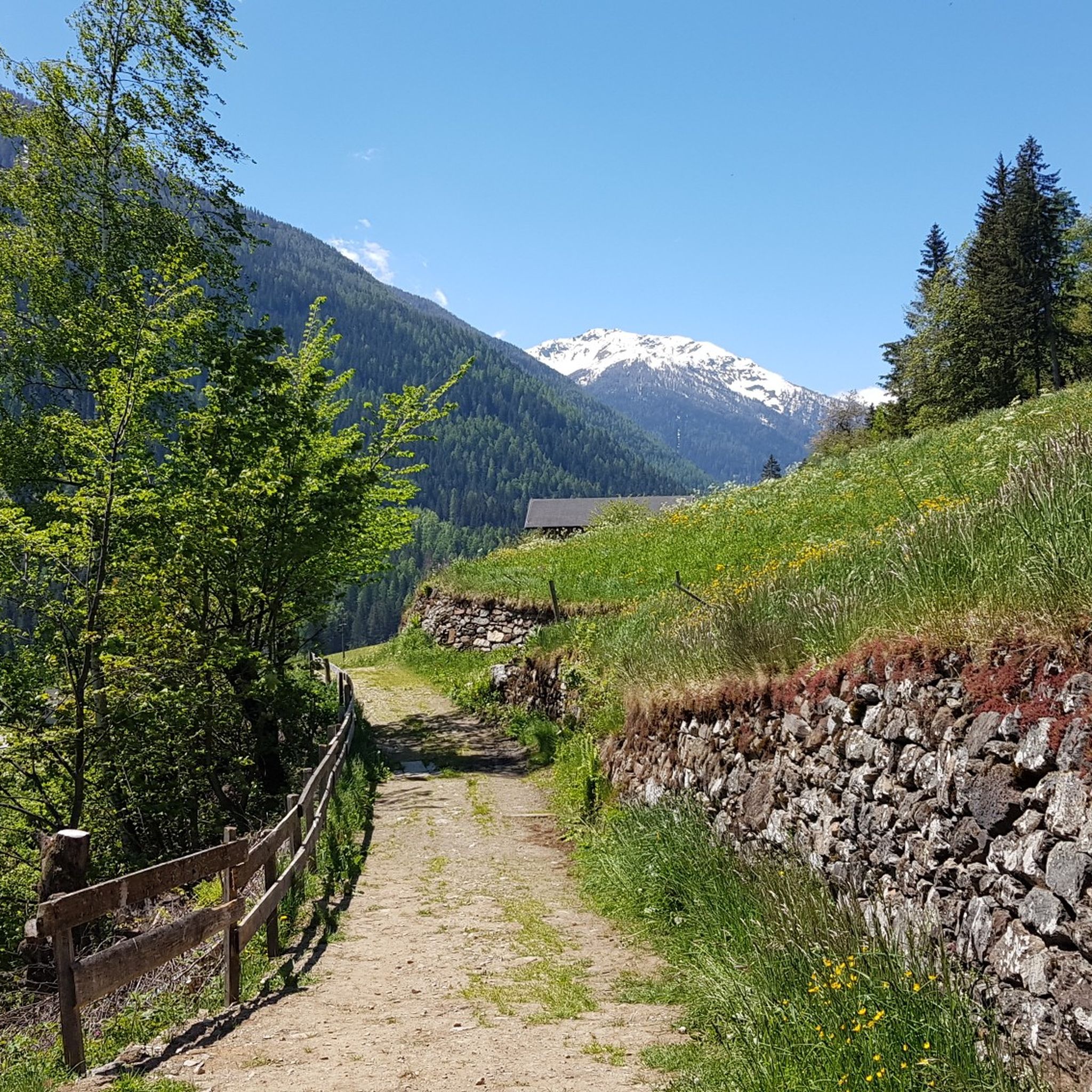
The trail does have exposed sections, but they can be mastered with caution and the necessary sure-footedness. Poles provide security and are helpful. You will be rewarded with magnificent views of the Dolomites, the Brenta Group, and the Trentino.
0
0

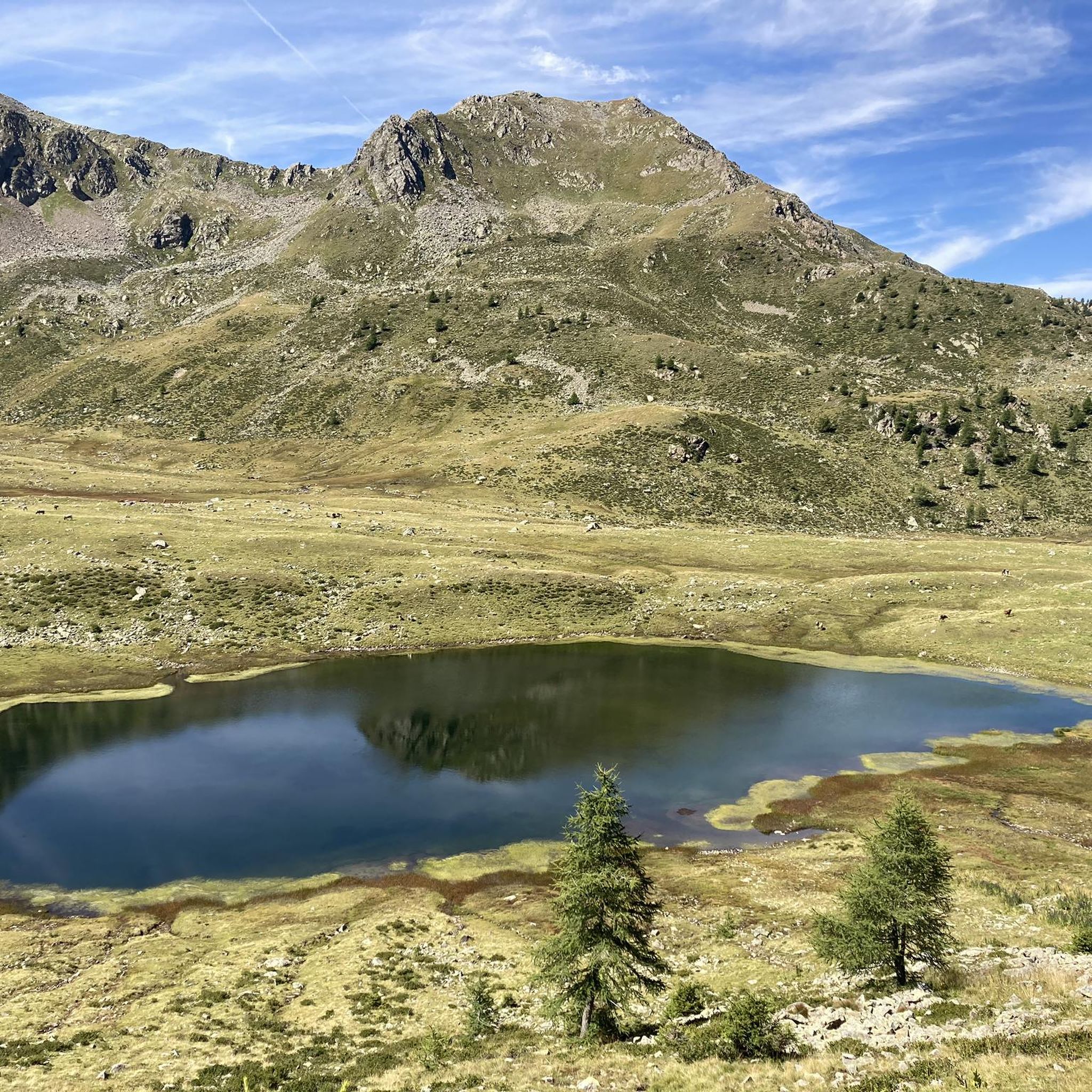
The Laugenspitze (Italian: Monte Luco) at 2,434 meters is the highest mountain in the Nonsberg Group in South Tyrol. The striking porphyry double peak consists of the Große Laugen (2,434 m) and the Kleine Laugen (2,297 m), which are separated by the picturesque Laugensee (2,182 m). Due to its freestanding location, it offers an excellent viewing platform over the Etschtal valley, the Meraner Land region, the Vinschgau valley, and as far as the Dolomites.
0
0

Wonderful view, children's playground, very good food
0
0


A small summit, accessible only via (exposed) but particularly steep, gravelly paths. It's worth it – especially for the view – but don't underestimate the trail! It's more of an off-the-beaten-path destination...
0
0

Great view, delicious Kaiserschmarrn
0
0
Frequently Asked Questions
How many mountaineering routes are available around Rumo?
There are over 30 mountaineering routes around Rumo, offering a variety of experiences in the Maddalene Group. These include 12 moderate and 20 difficult trails, catering to different skill levels.
What are the typical difficulty levels for mountaineering in Rumo?
Mountaineering routes in Rumo are primarily categorized as moderate or difficult. The region's terrain, characterized by alpine peaks and high mountain passes, means that even moderate routes can present significant ascents and rocky sections. There are no easy routes listed in this guide.
Are there any circular mountaineering routes in Rumo?
Yes, many routes in Rumo are designed as loops, allowing you to start and end at the same point. An example is the Laugen Summit Cross loop from Passo Castrin - Hofmahdjoch, which offers panoramic views from the summit.
What kind of landscapes can I expect on mountaineering routes in Rumo?
Rumo's mountaineering routes traverse the rugged landscapes of the Maddalene Group. You'll encounter alpine peaks, high mountain passes, and a mix of rocky terrain and coniferous forests. Expect opportunities to explore elevated ridges and enjoy expansive views across the surrounding valleys.
What do other mountaineers say about the routes in Rumo?
The mountaineering routes in Rumo are highly rated by the komoot community, with an average score of 4.9 stars from over 100 reviews. Mountaineers often praise the challenging ascents, the stunning alpine scenery, and the well-defined trails that lead to prominent summits.
Are there any notable natural attractions or landmarks near the mountaineering routes?
Yes, the Rumo area is rich in natural beauty. You can explore nearby gorges, such as the Novella Gorge – Parco Fluviale Novella, or visit waterfalls like the Tret Waterfall. There are also several beautiful lakes, including Lake Luco and Lake Santa Giustina in Val di Non, which can be explored after your mountaineering adventure.
What is a good challenging route for experienced mountaineers in Rumo?
For experienced mountaineers seeking a challenge, the Gonnawand Cliff View – Hinter Alpe loop from Sankt Gertraud - Santa Gertrude is a difficult route covering approximately 9.6 km with significant elevation gain, offering demanding ascents and rewarding views.
Are there any routes that offer a mix of forest and alpine terrain?
Many routes in Rumo provide a diverse experience. For example, the Hofmahd Parking Lot – Revò Hut loop from Passo Castrin - Hofmahdjoch takes you through both coniferous forests and higher alpine sections, offering varied scenery throughout the journey.
What is the typical duration for a mountaineering route in Rumo?
The duration of routes varies depending on their length and difficulty. For instance, the Kornigl Summit – Spitzner Kornigl Summit loop from Passo Castrin - Hofmahdjoch, a difficult 9.6 km route, typically takes around 4 hours and 10 minutes to complete.
Where can I find parking for mountaineering routes in Rumo?
Many routes, such as those starting from Passo Castrin - Hofmahdjoch, often have designated parking areas nearby. It's advisable to check the specific route details on komoot for information on starting points and available parking facilities.
Most popular attractions around Rumo

Get inspired with the komoot mobile app


Explore more
Browse the best Mountain Hikes & Routes in other regions.
